 Block
Fitzhugh, Arkansas
12 topographic sheets cover this place, the earliest surveyed in 1935 and the latest in 1986. It stands in Augusta Township. It lies in ZIP code area 72006. The Survey maps it on the Augusta quadrangle.
On record in Fitzhugh
Buildings and businesses the archive holds for this place. Each opens its own page, with the source record it came from.
On the National Register 1 record
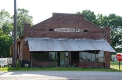 Fitzhugh Snapp Companylisted 2005
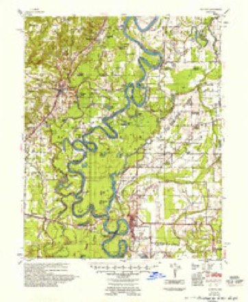
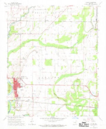
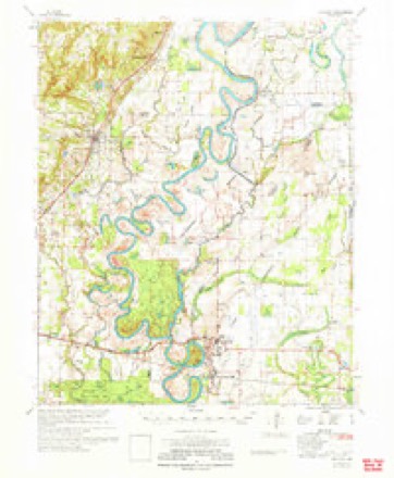
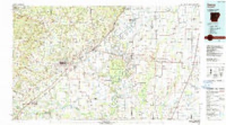
Topographic sheets covering this place
7 surveys from 12 printed sheetsMatched by testing this settlement's coordinate against the published boundary of every sheet in the United States Geological Survey's historical collection. Each opens the scanned sheet at the Survey.
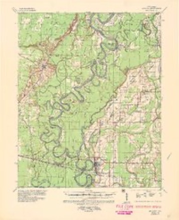
- 1935 USGS Augusta quadrangle1:62500, 2 printings
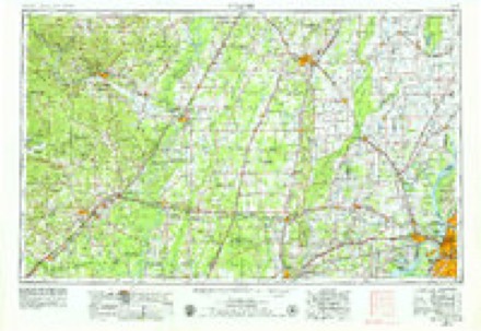
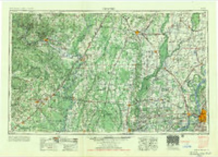
- 1953 USGS Memphis quadrangle1:250000, 3 printings
- 1956 USGS Memphis quadrangle1:250000
- 1957 USGS Augusta quadrangle1:62500
- 1968 USGS Augusta quadrangle1:24000, 2 printings
- 1971 USGS Augusta quadrangle1:62500
- 1986 USGS Searcy quadrangle1:100000, 2 printings
Fires near this place
5 since 1999Regional context, not property-specific evidence. The federal wildfire occurrence database lists 5 fires within 5 miles of Fitzhugh between 1999 and 2016, burning about 65 acres in total. None started naturally. 2 were recorded as arson. Distance is straight-line from the map coordinates, so a fire counted here may appear on a neighbouring settlement's page as well.
| Reported cause | Fires |
|---|---|
| Debris and open burning | 3 |
| Arson/incendiarism | 2 |
The most recent of them, most recent first, with the day each was reported and the service that recorded it.
| Date | Cause | Size | Reported by | Name on the report |
|---|---|---|---|---|
| 13 September 2002 | Debris and open burning | 3.0 acres | Arkansas Forestry Commission | not named |
| 25 August 1999 | Debris and open burning | 2.0 acres | Arkansas Forestry Commission | not named |
| 8 July 2001 | Arson/incendiarism | 20 acres | Arkansas Forestry Commission | not named |
| 26 July 2016 | Debris and open burning | 20 acres | Arkansas Forestry Commission | not named |
| 2 March 2010 | Arson/incendiarism | 20 acres | Arkansas Forestry Commission | not named |
Settlements close enough to share some of these fires:
Mines and quarries near this place
4 within 5 milesRegional context, not property-specific evidence. The federal mineral resources record lists 4 workings within 5 miles of Fitzhugh: 3 past producers, 1 producer. 1 still produces. What was taken out: Sand and Gravel, Construction. Distance is straight-line from the map coordinates, so a quarry counted here may appear on a neighbouring settlement's page as well.
| Where | Site | Commodity | Status | Recorded |
|---|---|---|---|---|
| River Sand and Gravel Dredge | Sand and Gravel, Construction | Producer | ||
| Unk | Sand and Gravel, Construction | Past Producer | ||
| Unk | Sand and Gravel, Construction | Past Producer | ||
| Unk Sandpits 2 | Sand and Gravel, Construction | Past Producer |
Storms near this place
22 since 2004Regional context, not property-specific evidence. The National Weather Service names Fitzhugh in 22 storm reports between 2004 and 2014: 12 flood, 6 flash flood, 2 hail, 2 thunderstorm wind. No death or injury is recorded in these reports. Each account below is quoted exactly as the forecast office filed it, from the NOAA Storm Events Database, and each date opens the federal record of that event.
| When | Event | Place named | Harm | What the report says |
|---|---|---|---|---|
| March 2008 | Flood | Fitzhugh | $3,500,000 | Heavy rain caused the White River at Augusta to go above major flood level. The river was above minor flood level at the start of the event, but continued to rise due to heavy rains. Houses on 4th Street in Augusta were surrounded by water. The Horseshoe Lake community was underwater. About 30 homes, most of them in the Taylor Bay community, were flooded. Agricultural losses were to winter wheat and delayed planting of corn and grain sorghum. Many acres of wheat were also recently fertilized to compound the losses. County roads were flooded, especially in the Taylor Bay portion of the floodplain. Portions of Arkansas Highway 33 north of Augusta were flooded. The flooding continued into April. |
| June 2014 | Flash Flood | Fitzhugh | $1,820,000 | Rainfall measured 9.75 inches 4 miles west of Cotton Plant, 9.70 inches at Howell, 7.50 inches at Augusta, and 7.45 inches at McCrory. About 40 homes flooded around Augusta, Patterson, and McCrory, and about 26 homes and businesses flooded around Cotton Plant. Arkansas 145 and numerous county roads were flooded, as were farm fields. The University of Arkansas Cooperative Extension Service reported that 15,000 acres of soybeans were flooded in the county. |
| May 2011 | Flood | Fitzhugh | $1,500,000 | Part of Arkansas Highway 33 was closed due to flooding. At the height of the flooding, boats were parked on the courthouse lawn in Augusta. Evacuations were necessary in McClelland, Gregory, Cotton Plant, and Patterson. Flooding in Woodruff County continued into June. |
| May 2013 | Flash Flood | Fitzhugh | $325,000 | Heavy rain caused considerable damage to county roads and bridges. |
| December 2009 | Flood | Fitzhugh | $250,000 | Flash flooding, which developed early on the morning of the 24th, became widespread areal flooding later in the morning on the 24th and continued into Christmas morning. Numerous county roads and state highways were flooded. City streets in McCrory were flooded as well. |
| December 2009 | Flash Flood | Fitzhugh | $250,000 | Widespread heavy rain led to flash flooding early on the morning of the 24th. |
| October 2009 | Flash Flood | Fitzhugh | $125,000 | Numerous county roads were damaged by flash flooding. |
| April 2011 | Flood | Fitzhugh | $100,000 | Widespread areal flooding occurred. Part of Arkansas Highway 33 was closed by flooding on the evening of the 30th. |
| June 2014 | Flood | Fitzhugh | $10,000 | Due to the excessive rain on the morning of the 29th, some roads and fields remained flooded into July. |
| July 2014 | Flood | Fitzhugh | $10,000 | Due to excessive rain on the morning of June 29th, some roads and fields remained flooded into July. |
| July 2014 | Thunderstorm Wind | Fitzhugh | $5,000 | Trees were blown down on Arkansas 33. |
| December 2013 | Flood | Fitzhugh | $5,000 | Heavy rainfall during the month caused the White River at Augusta to rise above flood stage during the morning hours of the 22nd. This river remained above flood stage into January. |
| June 2009 | Thunderstorm Wind | Fitzhugh | $5,000 | Trees were blown down. |
| June 2013 | Flash Flood | Fitzhugh | $2,000 | Some county roads were flooded. |
| September 2009 | Flood | Fitzhugh | - | High stages on the White River caused crop losses within the floodplain. |
| October 2009 | Flood | Fitzhugh | - | Flash flooding which began on the 29th became widespread areal flooding on the 30th. |
| November 2009 | Flood | Fitzhugh | - | Heavy rainfall at the end of October allowed the White River at Augusta to remain above flood stage into late November. Some crops were damaged, while others were lost altogether. In addition, harvesting was greatly delayed, further decreasing crop yield. |
| October 2009 | Flood | Fitzhugh | - | Heavy rainfall in early October pushed the White River at Augusta above flood stage. Flooding along the river delayed the fall harvest, and crops in inundated fields were lost altogether. |
| May 2008 | Flood | Fitzhugh | - | Heavy rainfall in March and April caused a prolonged high water event along the lower White River. Along the Woodruff County side of the floodplain within the Augusta reach of the river, high water delayed planting of cropland in the floodplain. The river did not recede below flood stage in this reach of the river until July with the primary impact being the delayed planting of corn and rice, causing many farmers to switch to soybeans, and preventing the planting of many hundreds of acres that were either inundated or isolated by the high river stages. Some of this cropland, which lies below the flood stage, remained flooded into the summer months. |
| April 2010 | Hail | Fitzhugh | - | no account filed |
| April 2006 | Hail | Fitzhugh | - | no account filed |
| November 2004 | Flash Flood | Fitzhugh | - | no account filed |
Nearest settlements
The eight closest, with where each one stands in the county. Distances are straight-line, computed from the Geographic Names Information System coordinates.
| Map | Place | Distance | Sheets |
|---|---|---|---|
| Negro Head Corner (historical) | 2.1 miles | 12 | |
| Pleasant Grove | 2.8 miles | 11 | |
| Union | 4.8 miles | 12 | |
| Overcup | 4.9 miles | 10 | |
| Simmons (historical) | 5.0 miles | 10 | |
| Goodrich | 5.2 miles | 10 | |
| New Salem | 5.4 miles | 12 | |
| Augusta | 5.7 miles | 12 |
Provenance
This settlement is recorded in the Geographic Names Information System as feature 49074. The sheet list is computed by point-in-boundary test against the United States Geological Survey's historical topographic inventory. Both are works of the United States government and carry no copyright under 17 U.S.C. 105.
Wildfire. Short, Karen C. 2022. Spatial wildfire occurrence data for the United States, 1992-2020 [FPA_FOD_20221014]. 6th Edition. Fort Collins, CO: Forest Service Research Data Archive. https://doi.org/10.2737/RDS-2013-0009.6 Collected with United States Government funding and usable without additional permissions or fees.
Mines and quarries. USGS Mineral Resources Data System (MRDS) https://mrdata.usgs.gov/mrds/ A work of the United States government, no copyright under 17 U.S.C. 105.
Storms. NOAA National Centers for Environmental Information, Storm Events Database https://www.ncei.noaa.gov/stormevents/ A work of the United States government, no copyright under 17 U.S.C. 105. Narratives are quoted verbatim from the National Weather Service report and are not edited or summarised.