 Block
Wye, Arkansas
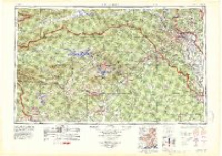
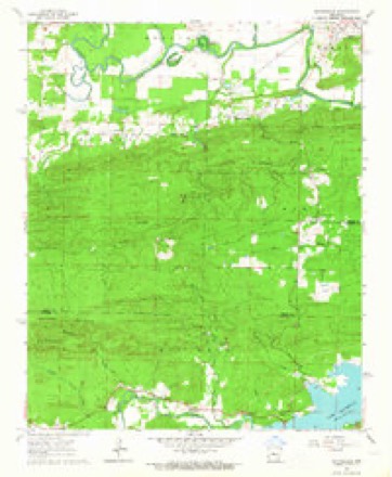
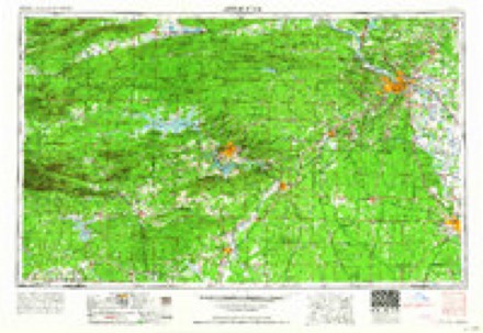
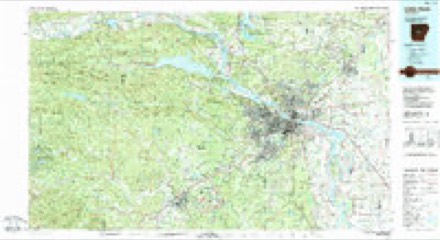
16 topographic sheets cover this place, the earliest surveyed in 1890 and the latest in 1985. It lies in ZIP code area 72016. The Survey maps it on the Martindale quadrangle.
Topographic sheets covering this place
8 surveys from 16 printed sheetsMatched by testing this settlement's coordinate against the published boundary of every sheet in the United States Geological Survey's historical collection. Each opens the scanned sheet at the Survey.
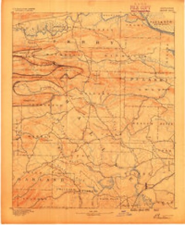
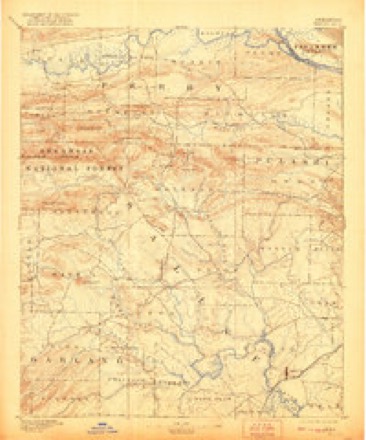
- 1890 USGS Benton quadrangle1:125000
- 1894 USGS Benton quadrangle1:125000, 5 printings
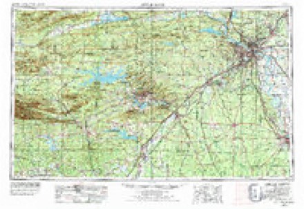
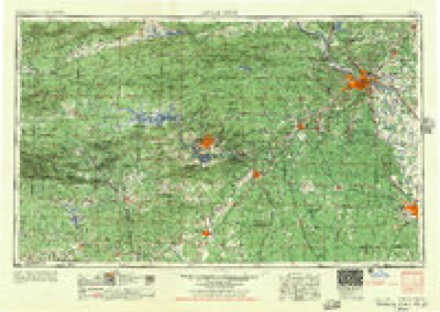
- 1955 USGS Little Rock quadrangle1:250000
- 1956 USGS Little Rock quadrangle1:250000
- 1960 USGS Little Rock quadrangle1:250000
- 1963 USGS Martindale quadrangle1:24000, 5 printings
- 1964 USGS Little Rock quadrangle1:250000
- 1985 USGS Little Rock quadrangle1:100000
Fires near this place
89 since 1997Regional context, not property-specific evidence. The federal wildfire occurrence database lists 89 fires within 5 miles of Wye between 1997 and 2020, burning about 1,107 acres in total. 5 started naturally. 14 were recorded as arson. Distance is straight-line from the map coordinates, so a fire counted here may appear on a neighbouring settlement's page as well.
| Reported cause | Fires |
|---|---|
| Debris and open burning | 33 |
| Missing data/not specified/undetermined | 28 |
| Arson/incendiarism | 14 |
| Equipment and vehicle use | 5 |
| Natural | 5 |
| Smoking | 2 |
| Recreation and ceremony | 1 |
| Misuse of fire by a minor | 1 |
The most recent of them, most recent first, with the day each was reported and the service that recorded it.
| Date | Cause | Size | Reported by | Name on the report |
|---|---|---|---|---|
| 7 September 2002 | Debris and open burning | 2.0 acres | Arkansas Forestry Commission | not named |
| 5 September 2011 | Debris and open burning | 110 acres | Arkansas Forestry Commission | LAKE MAUMELLE |
| 30 September 2006 | Debris and open burning | 1.0 acres | Arkansas Forestry Commission | not named |
| 23 September 2004 | Arson/incendiarism | 3.0 acres | Arkansas Forestry Commission | not named |
| 18 September 2013 | Missing data/not specified/undetermined | 30 acres | Arkansas Forestry Commission | not named |
| 16 September 2011 | Debris and open burning | 1.0 acres | Arkansas Forestry Commission | not named |
| 8 August 2002 | Arson/incendiarism | 1.0 acres | Arkansas Forestry Commission | not named |
| 7 August 2018 | Missing data/not specified/undetermined | 28 acres | Arkansas Forestry Commission | not named |
Settlements close enough to share some of these fires:
Mines and quarries near this place
1 within 5 milesRegional context, not property-specific evidence. The federal mineral resources record lists 1 working within 5 miles of Wye: 1 past producer. None of them still produces. What was taken out: Stone. Distance is straight-line from the map coordinates, so a quarry counted here may appear on a neighbouring settlement's page as well.
| Where | Site | Commodity | Status | Recorded |
|---|---|---|---|---|
| Unk | Stone | Past Producer |
Storms near this place
12 since 2007Regional context, not property-specific evidence. The National Weather Service names Wye in 12 storm reports between 2007 and 2016: 5 flash flood, 3 tornado, 2 thunderstorm wind, 2 flood. The reports record 1 death. Each account below is quoted exactly as the forecast office filed it, from the NOAA Storm Events Database, and each date opens the federal record of that event.
| When | Event | Place named | Harm | What the report says |
|---|---|---|---|---|
| May 2013 | Flash Flood | Wye | 1 killed | Numerous streets and roads were flooded. The Little Rock Fire Department responded to several calls of cars stalled in high water. At one time, water was as much as 3 feet deep on some roads in the Ferndale area. The body of an 18 year-old male was found in Coleman Creek on the campus of the University of Arkansas at Little Rock. The state medical examiner ruled drowning as the cause of death, but it was not known how he ended up in the water. He was not a student at the university. At the Little Rock airport on the 30th, 2.06 inches of rain fell in the 30-minute period ending at 9:57 PM CDT, 2.73 inches fell in the 45-minute period ending at 10:13 PM CDT, and 3.09 inches fell in the one-hour period ending at 10:17 PM CDT. The 3.09 inches of rain in one hour broke the previous all-time record for the greatest amount of rain in one hour in Little Rock. The previous record was 3.00 inches on May 26, 1955. |
| May 2011 | Flood | Wye | $27,000,000 | Widespread areal flooding continued from April into May. On the morning of the 1st, Arkansas Highway 300 was closed just west of Arkansas Highway 10 due to a washed-out culvert. Also on the morning of the 1st, U.S. Highway 67/167 was closed by flooding near Little Rock Air Force Base. While this section of the highway reopened on the 2nd, a greater problem developed the same day when another section of the highway flooded between Jacksonville and Sherwood. Hours-long delays were created for motorists trying to travel to and from Little Rock. The section of Highway 67/167 that was closed typically carries about 70,000 vehicles each day. The highway reopened by the 4th. On the morning of the 2nd, six docks and more than two dozen boats broke loose from a marina on the Little Maumelle River. Much of the debris soon floated down into the Arkansas River and continued to the vicinity of Murray Lock and Dam. Pinnacle Mountain State Park was closed due to flooding. Homes were flooded in parts of Sherwood, including Indianhead Lakes and Gravel Ridge. Some homes also flooded in Jacksonville. |
| May 2011 | Flash Flood | Wye | $3,000,000 | At 1:06 AM CDT on the 1st, roads were flooded north of Jacksonville around Maddox Rd. and Old Tom Box Rd. At 2:40 AM CDT, a culvert washed out on Arkansas Highway 300 just off Arkansas Highway 10, closing the road. At 7:49 AM CDT, U.S. Highway 67/167 flooded near Jacksonville. By 8:45 AM CDT, Jacksonville Cutoff was impassable near Gravel Ridge due to high water, and an apartment complex nearby had cars submerged in the parking lot. By 10:30 AM CDT, a portion of James Rd. in the Blue Hill area washed out and was barricaded. A mobile home park in northern Pulaski County had to be evacuated. Firefighters used boats to reach residents whose houses were surrounded by water in parts of northern and western Pulaski County. Twenty-five to 30 houses flooded in the Cypress Dr. area of Jacksonville. |
| April 2011 | Flood | Wye | $1,000,000 | Widespread areal flooding occurred. On the night of the 29th, Arkansas Highway 10 was closed due to flooding about 4 miles west of Interstate 430. |
| November 2011 | Flash Flood | Wye | $500,000 | Numerous streets and roads in Little Rock, North Little Rock, Sherwood, and Pulaski County were closed during the morning and into the afternoon. Numerous cars became stranded in the high water. Interstate 30 was closed by flooding from approximately 10 AM to 1 PM near the Saline County line, when creeks overflowed onto the highway. The alternate route, Arkansas 5, was flooded by the same creeks. Traffic going west on the interstate was detoured along U.S. 167 to Sheridan and then U.S. 270 to Malvern. At the U.S. 167/270 intersection in Sheridan, traffic was backed up for about 7 miles. Pulaski Technical College's South Campus in southwest Little Rock was forced to close because flooded roads made the campus inaccessible. |
| April 2011 | Tornado (EF1) | Wye | $250,000 | This tornado occurred west of Lake Maumelle, in the area around Arkansas Highway 10 and Bringle Creek Rd. The tornado blew down many trees, with one tree falling on a vehicle and another on a farm tractor. Fences were knocked down and outbuildings were damaged. |
| February 2011 | Tornado (EF1) | Wye | $100,000 | This tornado exited Perry County southeast of Williams Junction. In Pulaski County, a barn was flattened and another barn lost much of its roof. Trees were blown down. The tornado ended in western Pulaski County just off Arkansas Highway 10 close to where the eastern end of Higginbotham Rd. intersects the highway. |
| April 2011 | Flash Flood | Wye | $25,000 | Numerous roads flooded and had to be barricaded. |
| March 2016 | Tornado (EF0) | Wye | $5,000 | Mostly tree damage was found, with minor damage to a roof. |
| June 2013 | Flash Flood | Wye | $5,000 | A number of roads were flooded, as was part of the golf course at Maumelle Country Club. The three-day rainfall total for May 30th through June 1st at the Little Rock airport was 6.16 inches. |
| June 2012 | Thunderstorm Wind | Wye | $2,000 | Thunderstorm winds broke off the tops of several oak trees in far western Pulaski County. |
| July 2007 | Thunderstorm Wind | Wye | - | A power line was blown down just west of Lake Maumelle. |
Nearest settlements
The eight closest, with where each one stands in the county. Distances are straight-line, computed from the Geographic Names Information System coordinates.
| Map | Place | Distance | Sheets |
|---|---|---|---|
| Crossroads (historical) | 3.7 miles | 16 | |
| Lundsford Corner | 5.4 miles | 16 | |
| Roland | 8.1 miles | 19 | |
| Monnie Springs | 8.4 miles | 19 | |
| Northpoint | 8.6 miles | 16 | |
| Natural Steps | 10.3 miles | 20 | |
| Pinnacle | 11.0 miles | 20 | |
| Mount Pilgrim | 11.1 miles | 19 |
Provenance
This settlement is recorded in the Geographic Names Information System as feature 57239. The sheet list is computed by point-in-boundary test against the United States Geological Survey's historical topographic inventory. Both are works of the United States government and carry no copyright under 17 U.S.C. 105.
Wildfire. Short, Karen C. 2022. Spatial wildfire occurrence data for the United States, 1992-2020 [FPA_FOD_20221014]. 6th Edition. Fort Collins, CO: Forest Service Research Data Archive. https://doi.org/10.2737/RDS-2013-0009.6 Collected with United States Government funding and usable without additional permissions or fees.
Mines and quarries. USGS Mineral Resources Data System (MRDS) https://mrdata.usgs.gov/mrds/ A work of the United States government, no copyright under 17 U.S.C. 105.
Storms. NOAA National Centers for Environmental Information, Storm Events Database https://www.ncei.noaa.gov/stormevents/ A work of the United States government, no copyright under 17 U.S.C. 105. Narratives are quoted verbatim from the National Weather Service report and are not edited or summarised.