Block
From the record
24 National Register listings published here, 6 of them National Historic Landmarks.
Sources: the National Register database, National Park Service
234 topographic sheets cover 98 settlements here, and 24 properties are on the National Register of Historic Places.
24 National Register listings published here, 6 of them National Historic Landmarks.
Sources: the National Register database, National Park Service
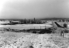
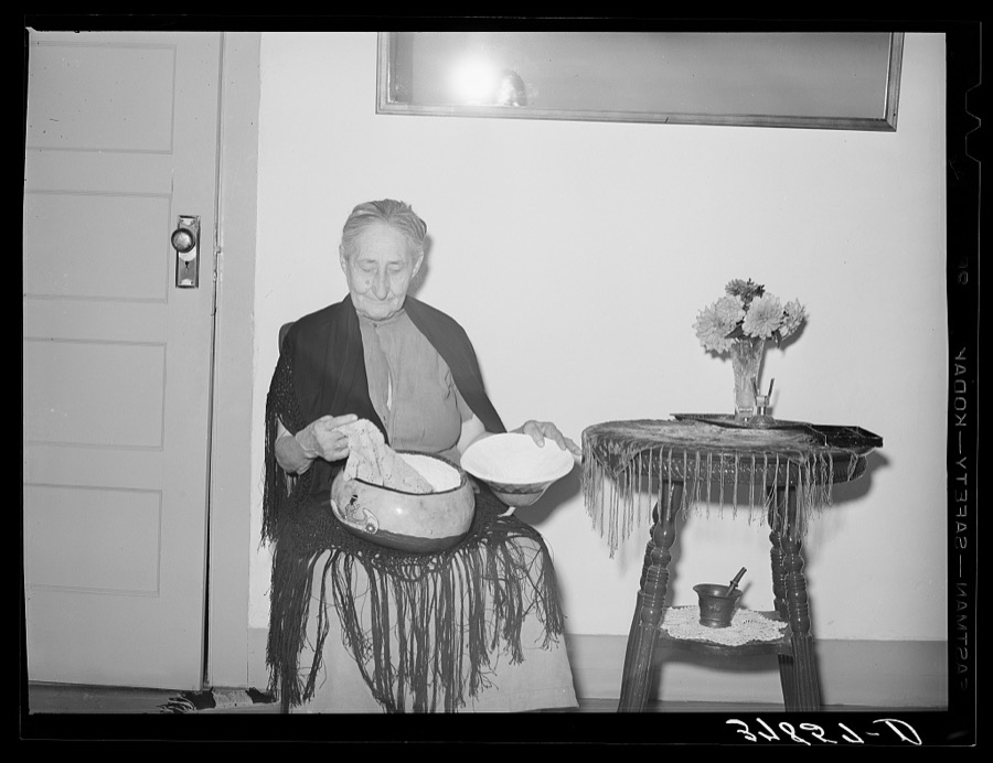
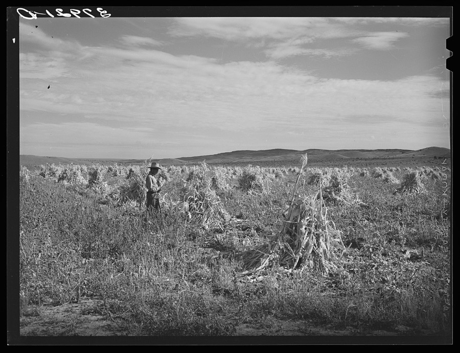
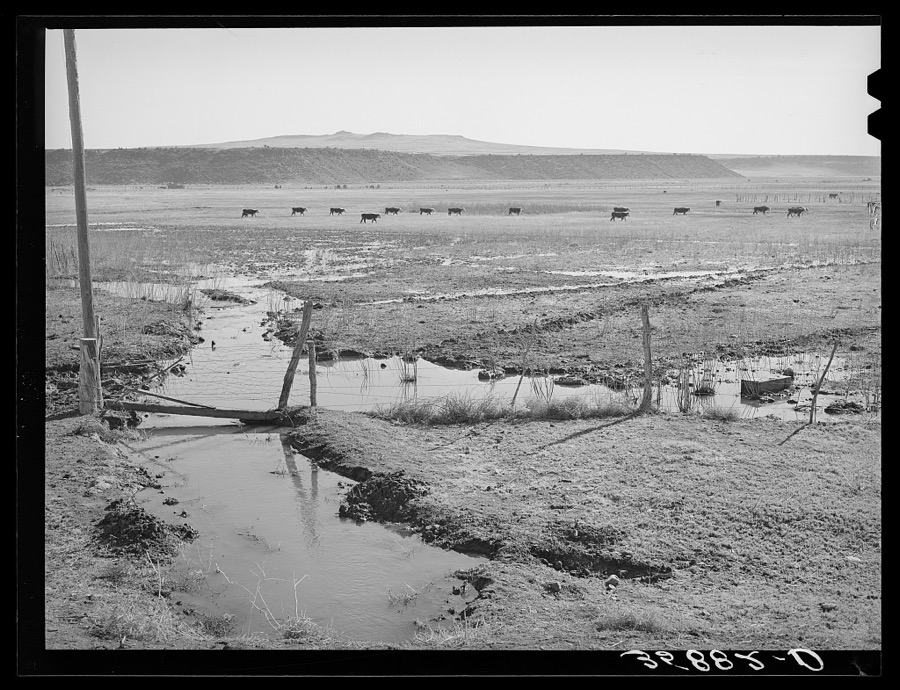
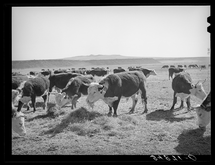
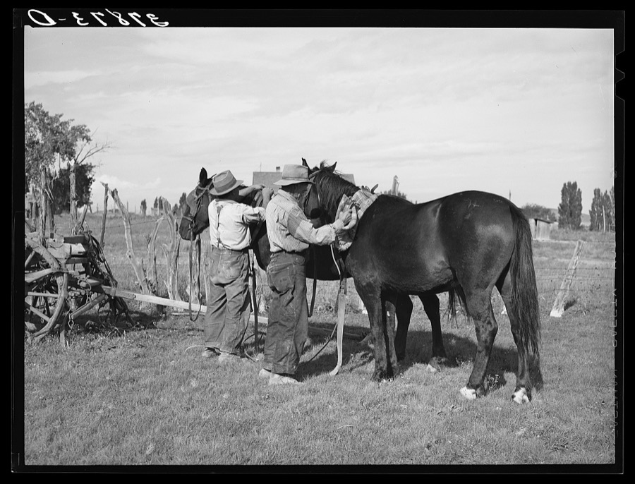
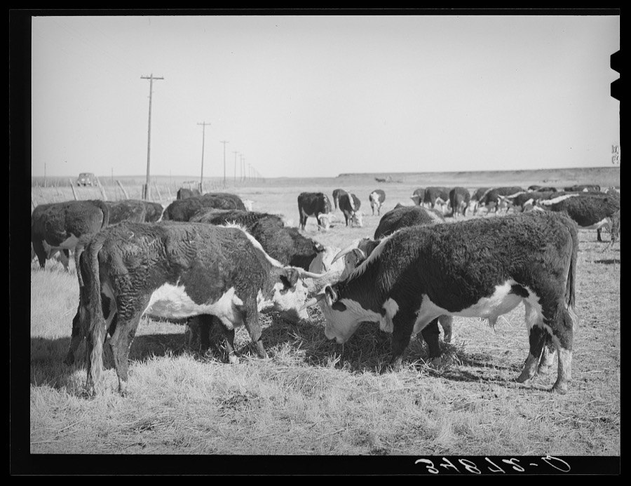
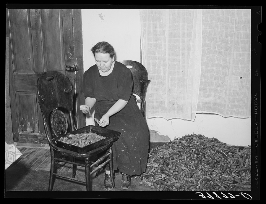
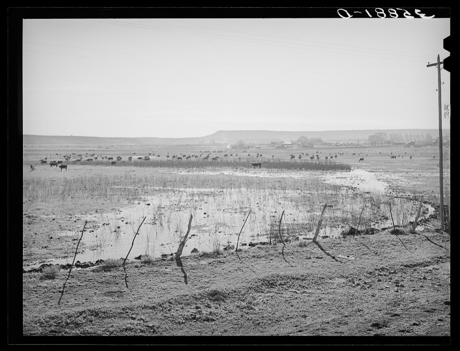
Taken for the Office of War Information and the Farm Security Administration, who photographed the country between 1935 and 1944. Works of United States government photographers, with no known restriction on use. Each opens its catalogue record.
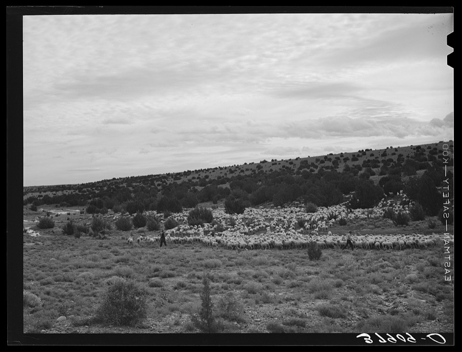
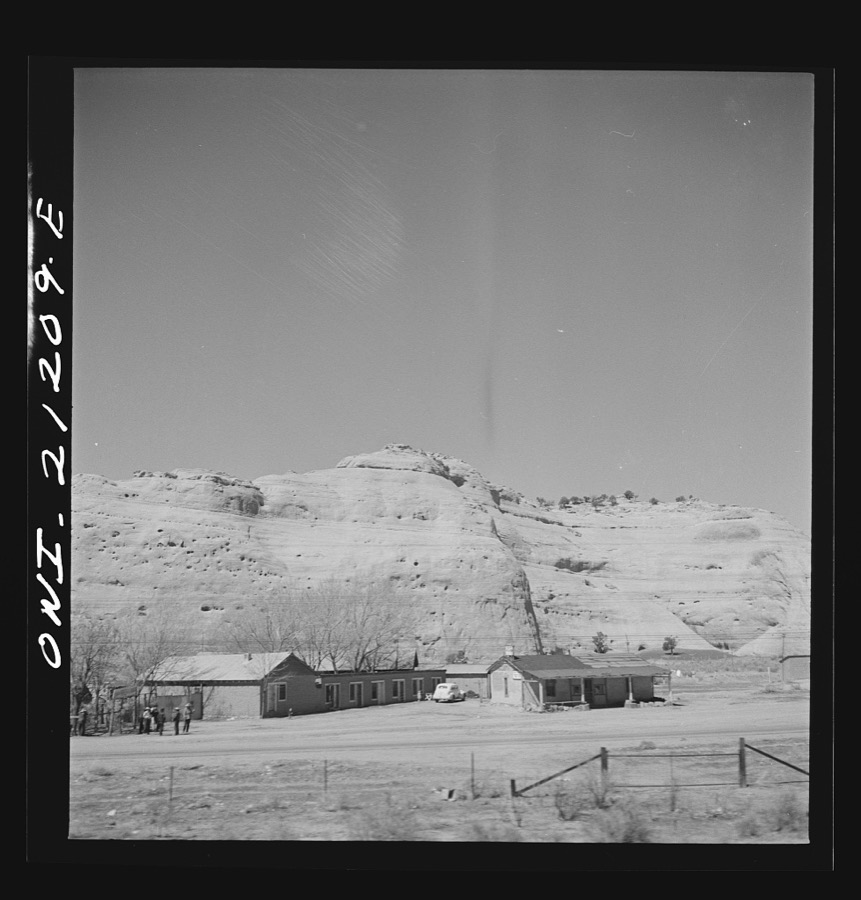
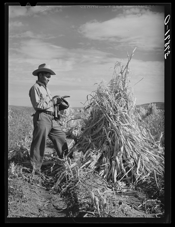
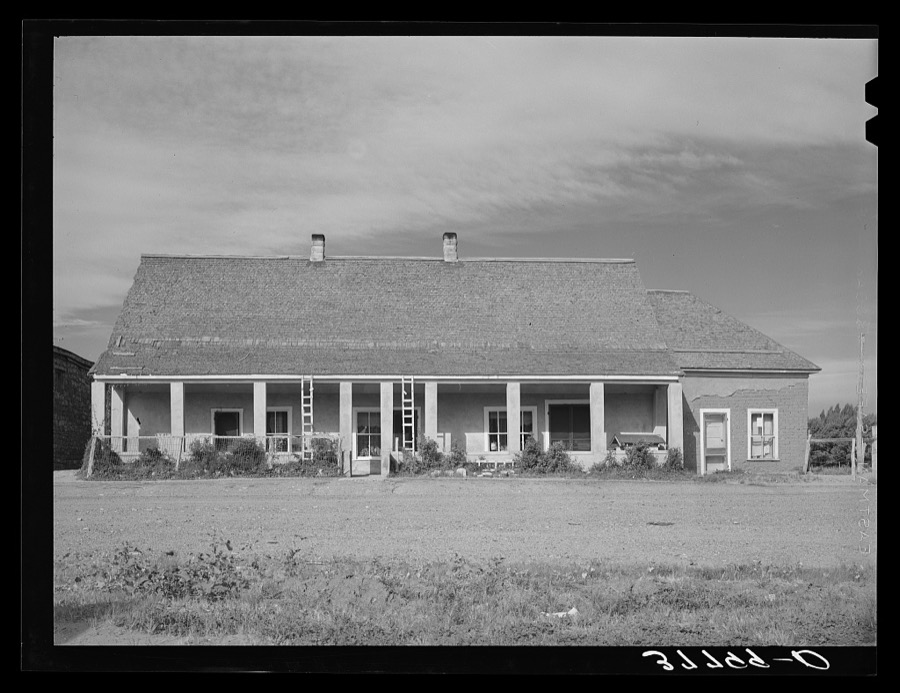
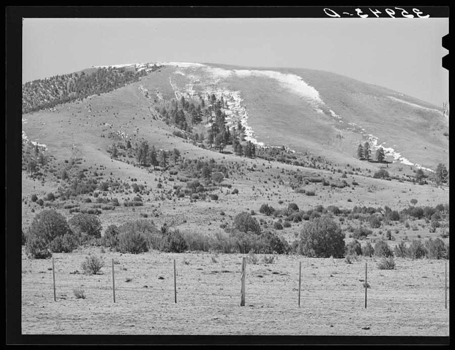
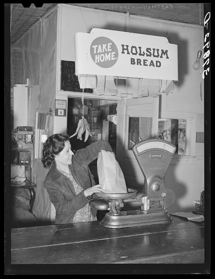
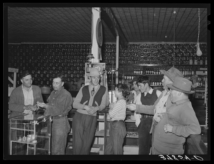
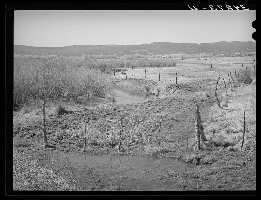
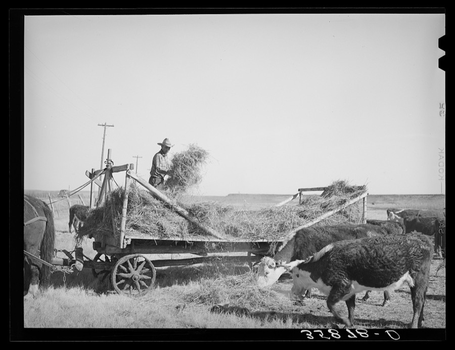
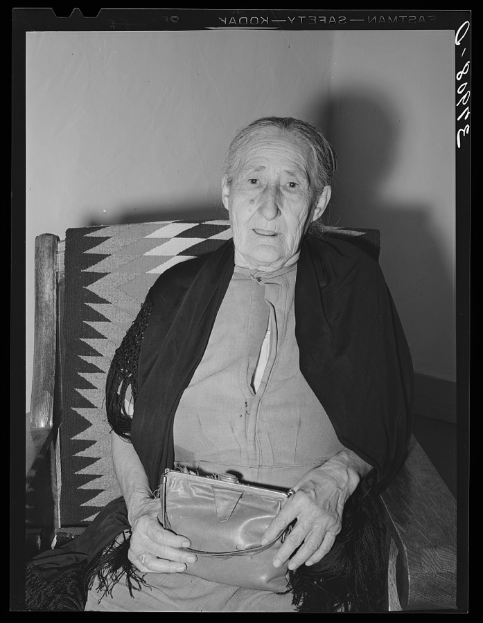
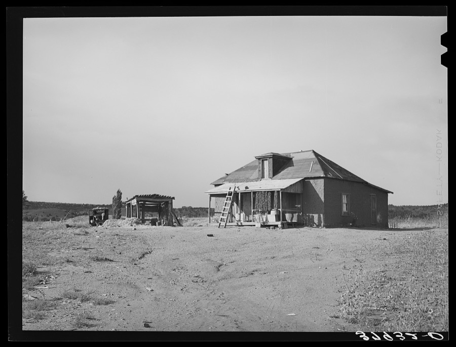
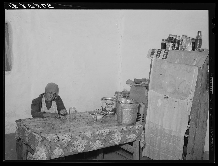
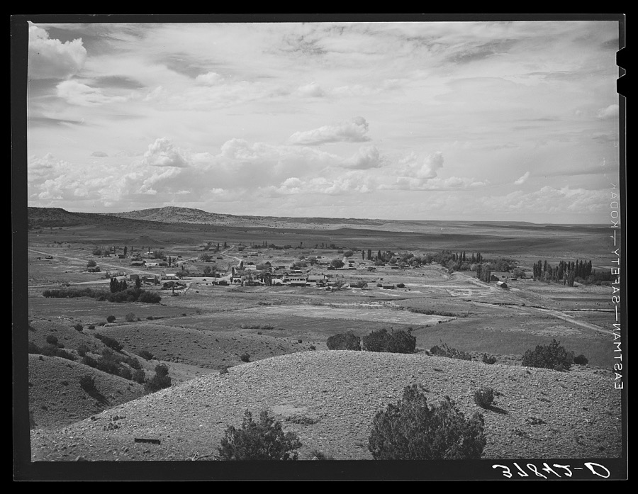
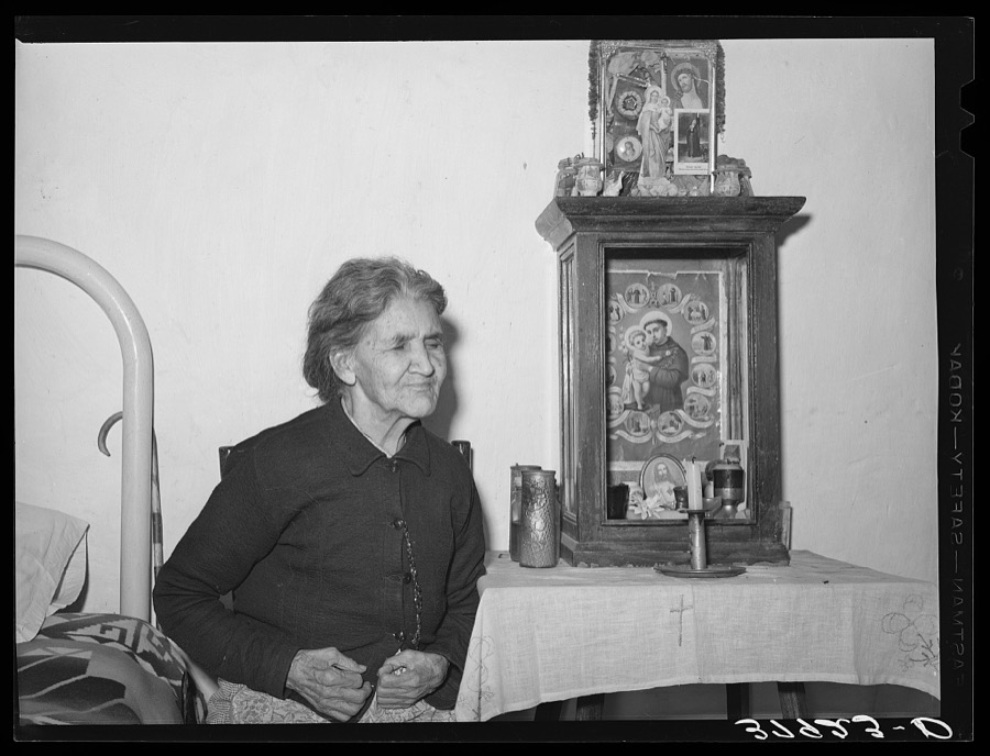
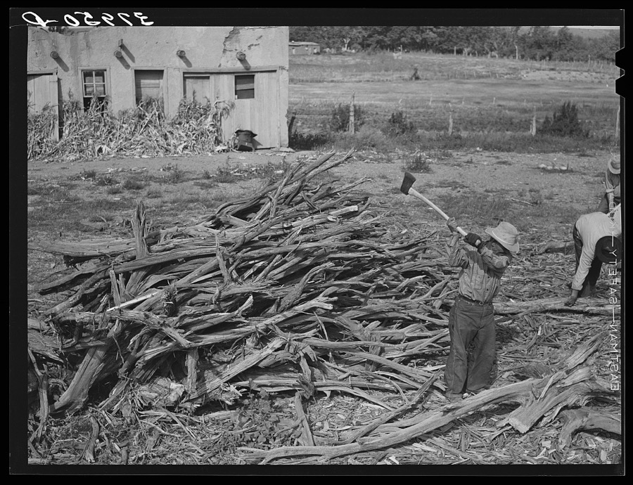
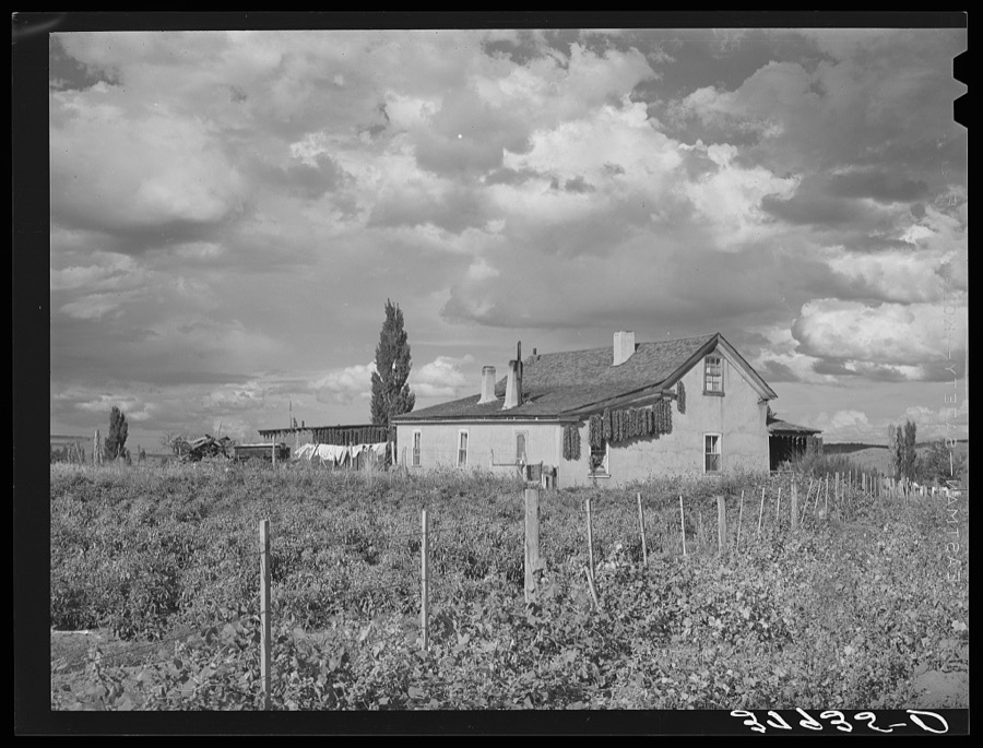
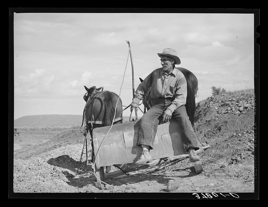
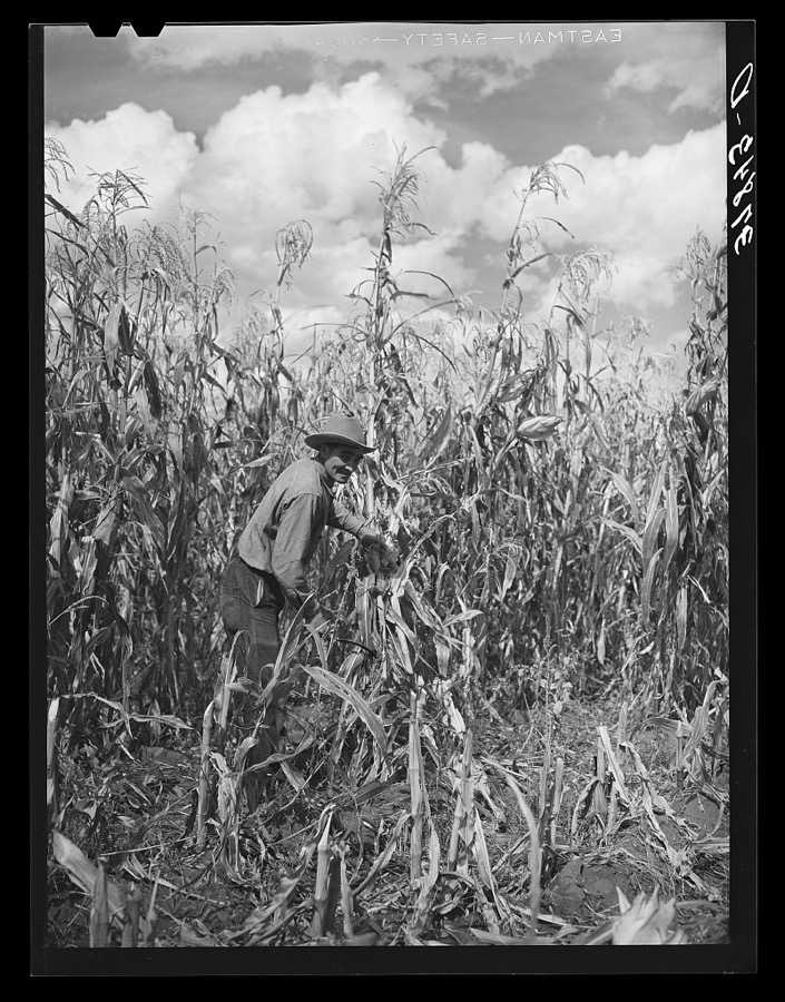
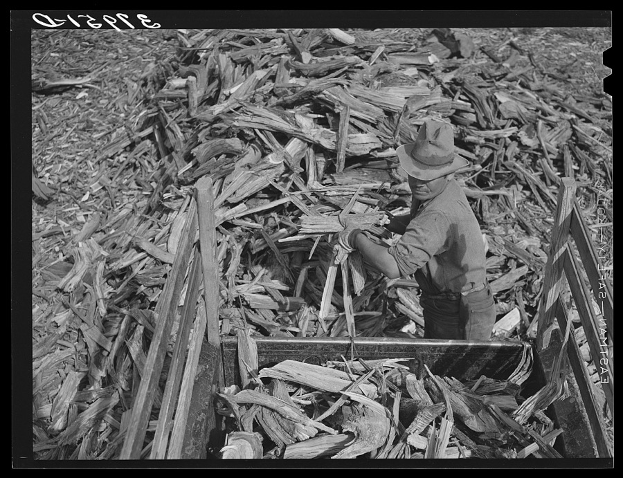
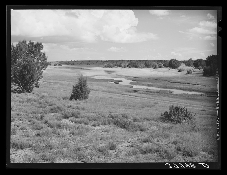
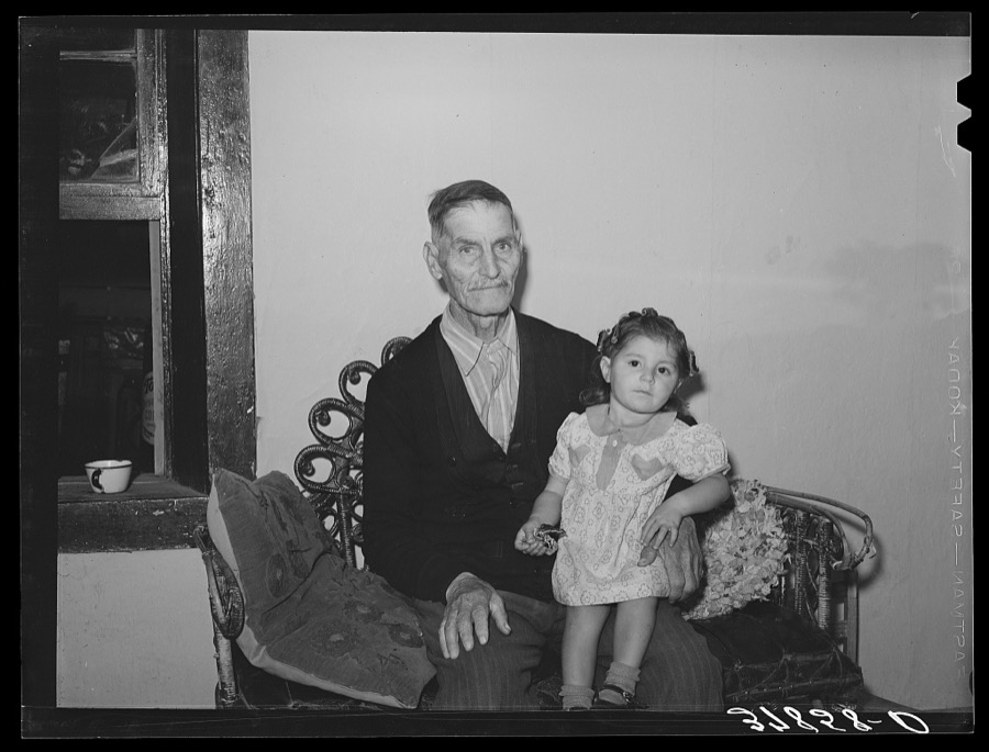
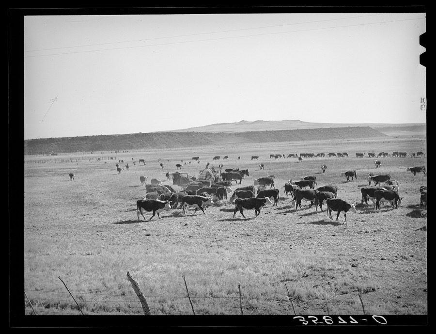
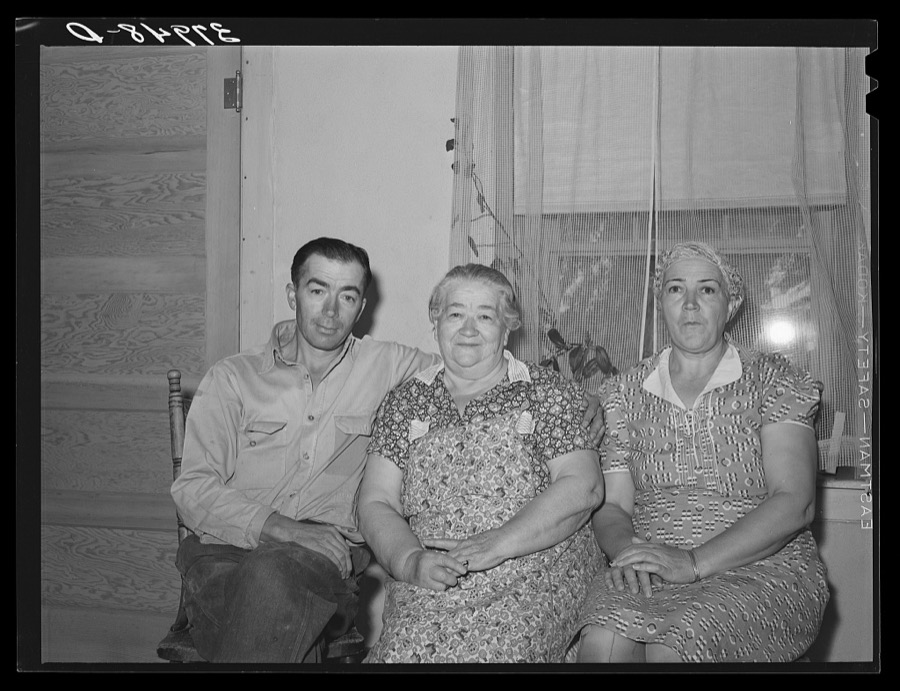
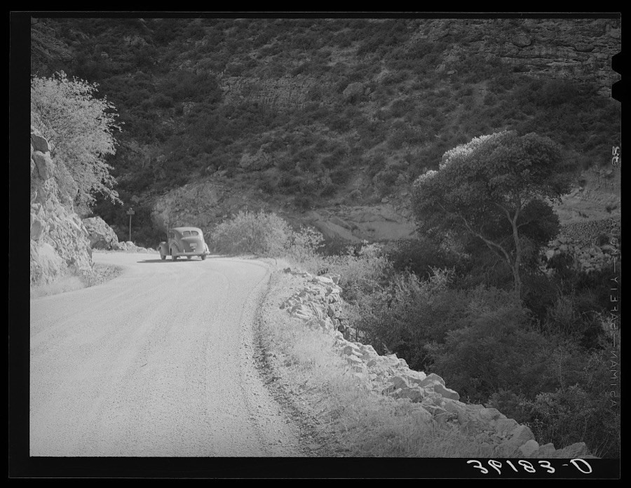
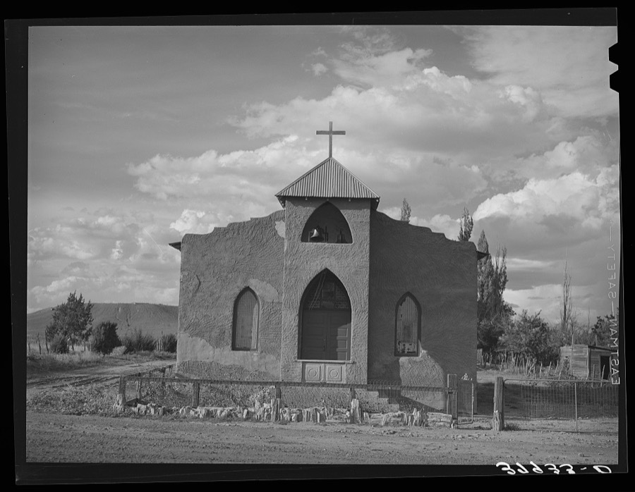
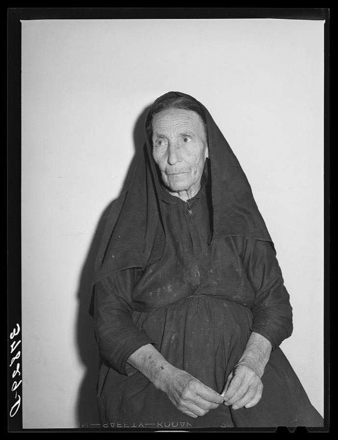
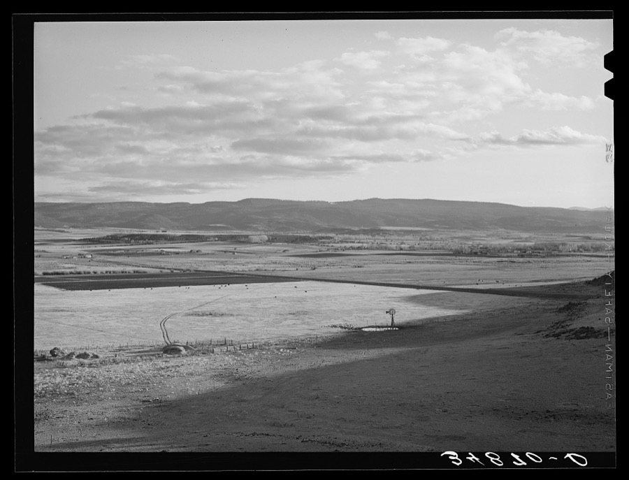
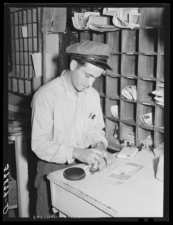
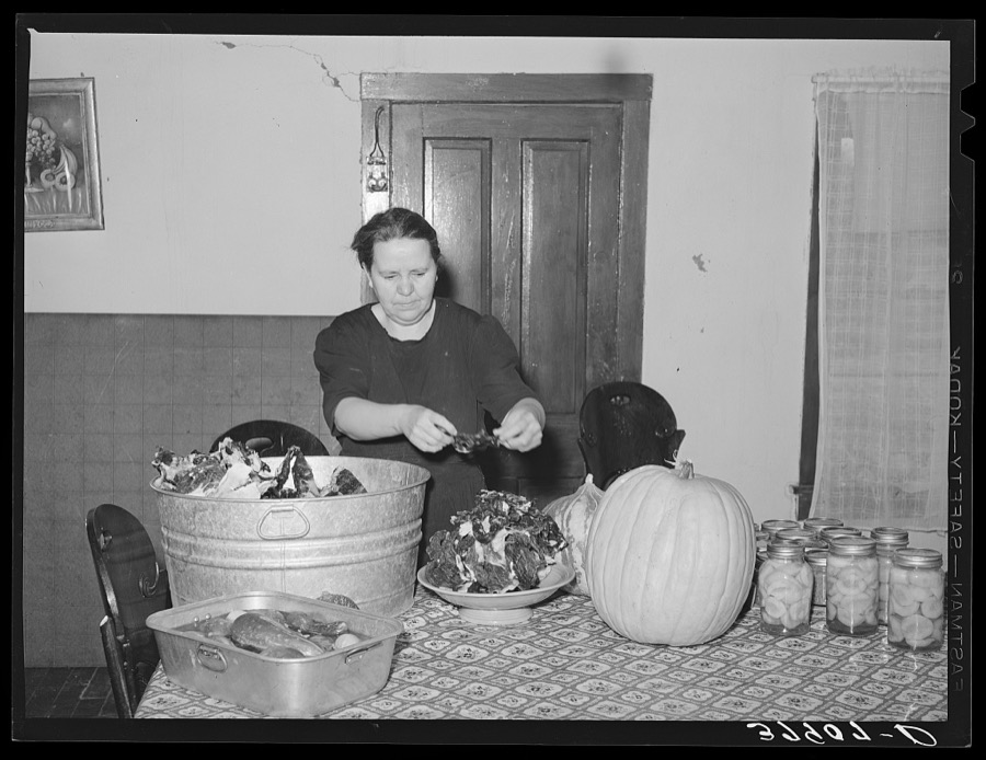
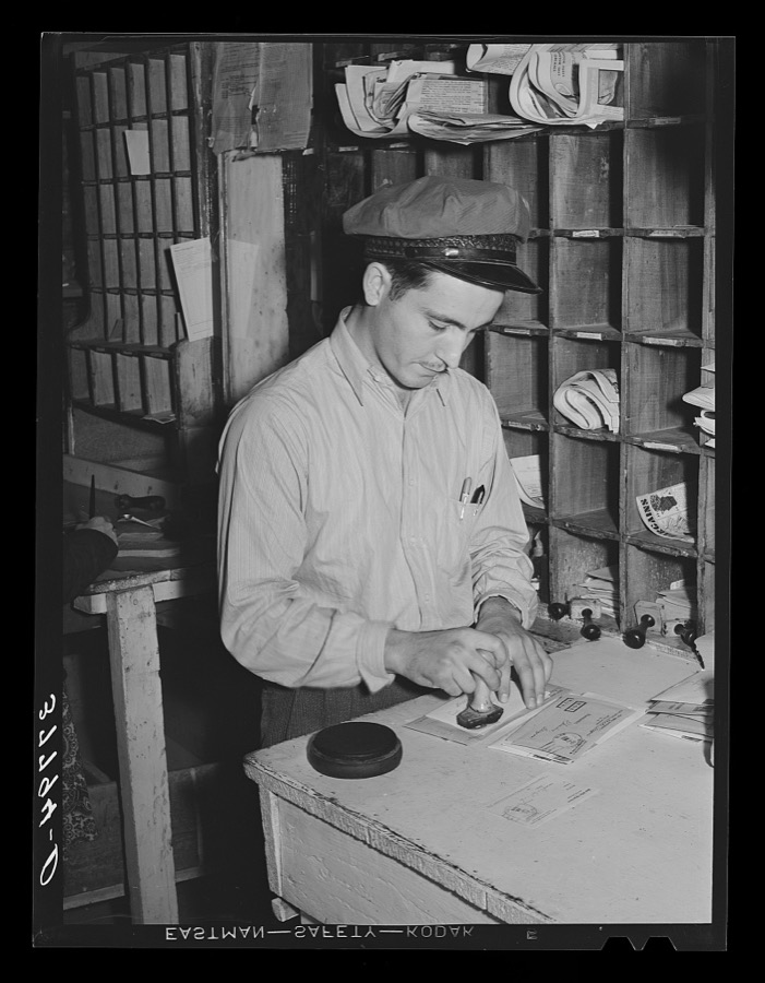
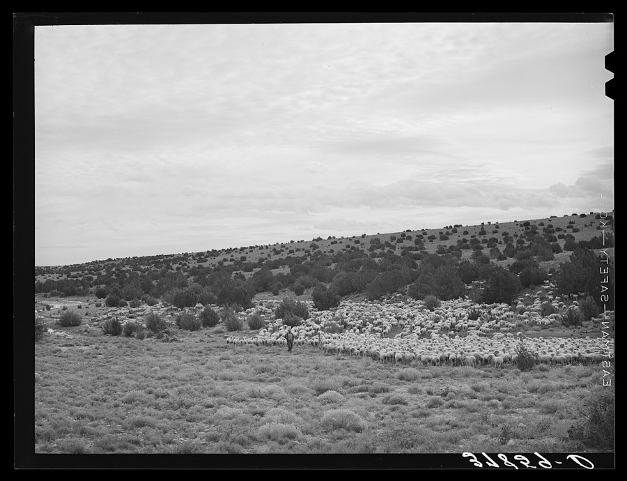
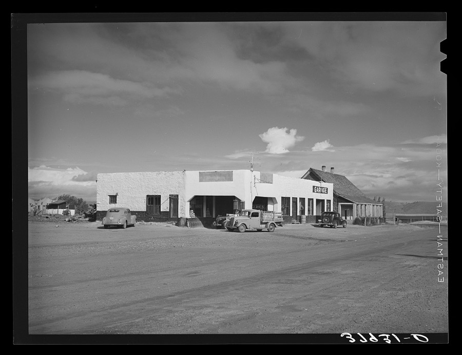
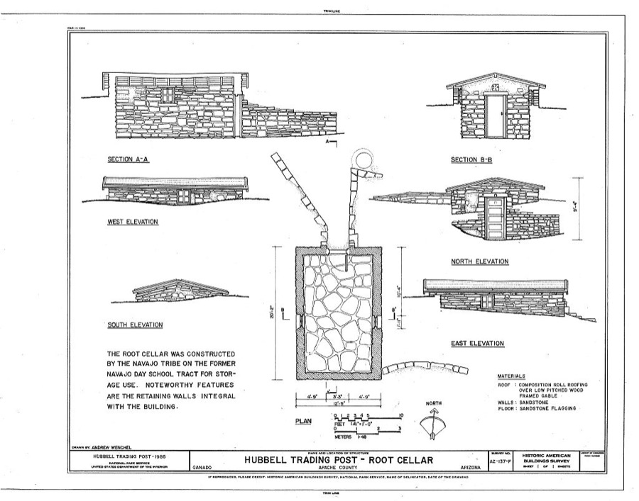
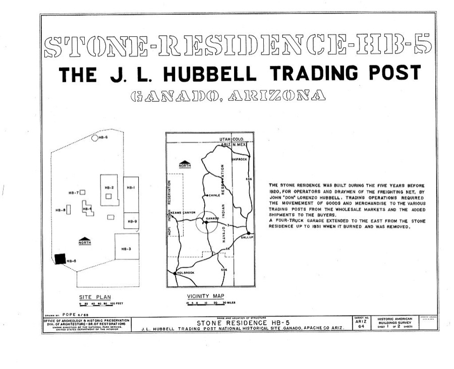
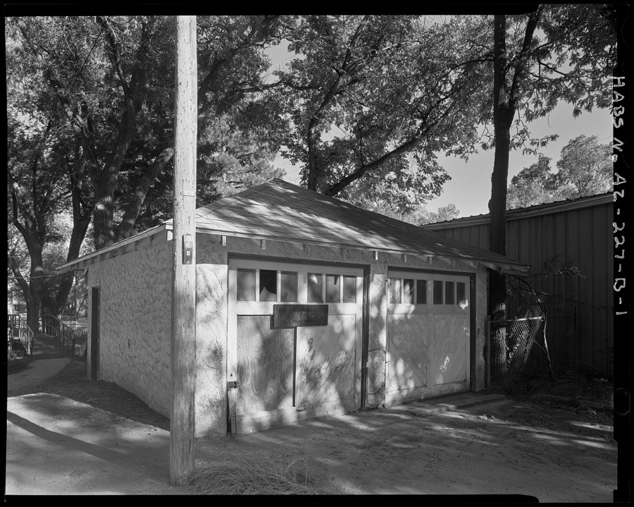
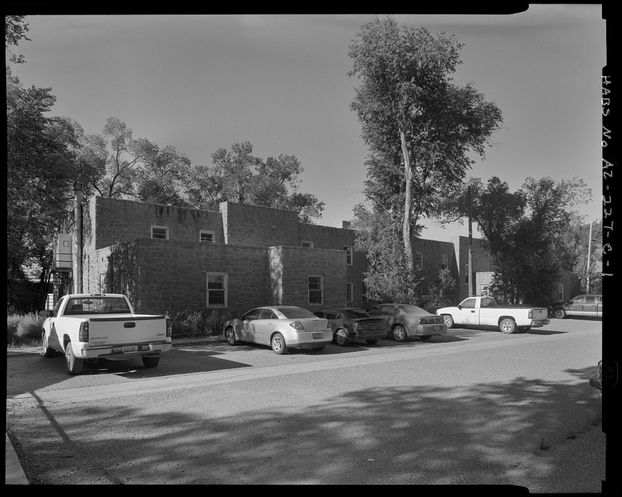
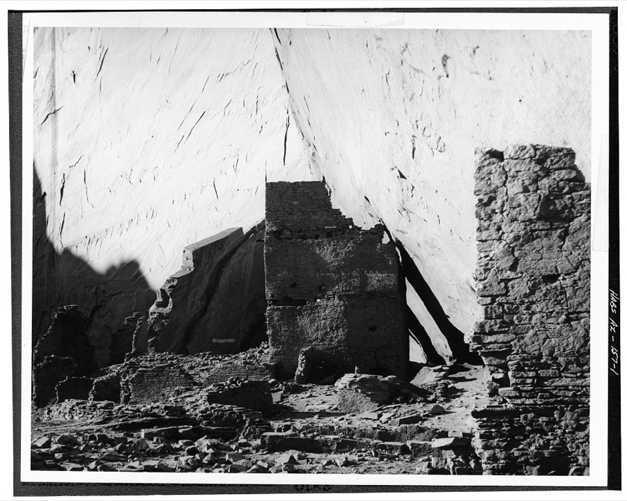
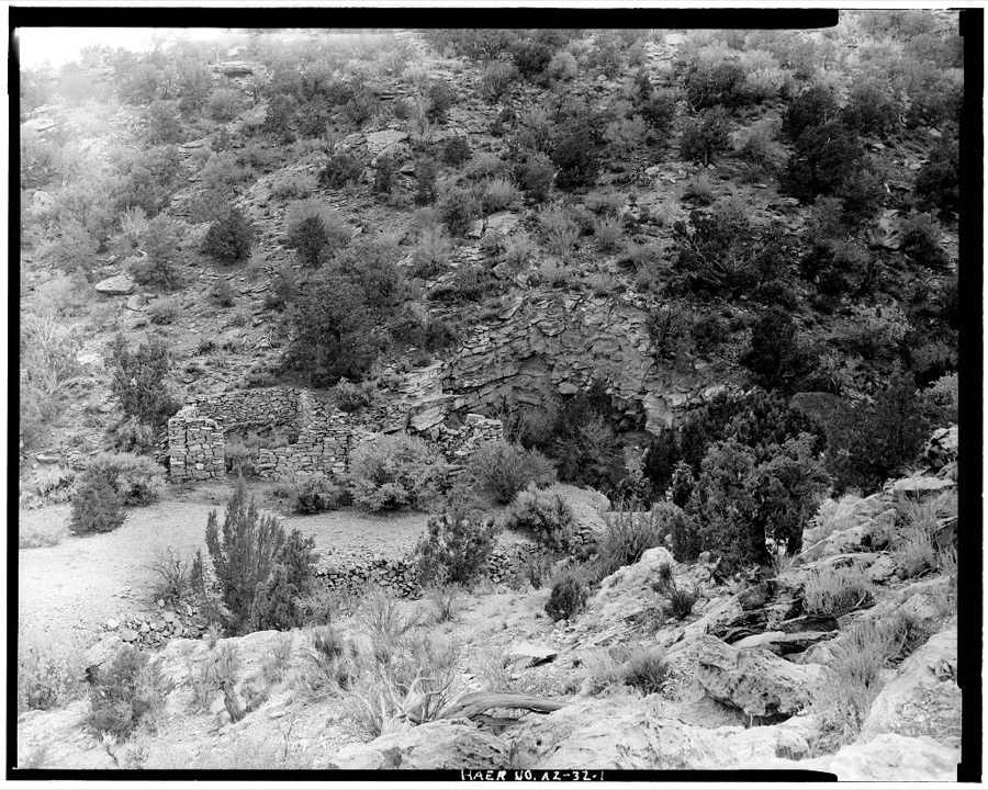
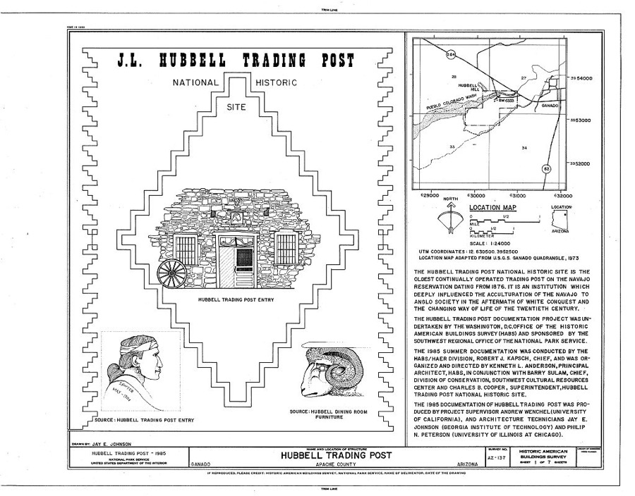
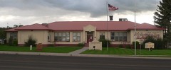
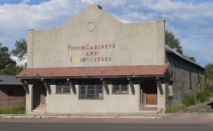
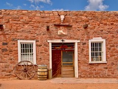
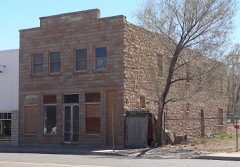
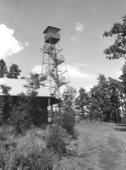
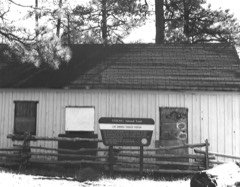
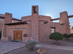
Every property in this county listed on the National Register of Historic Places, with the year it was listed and the federal nomination document.
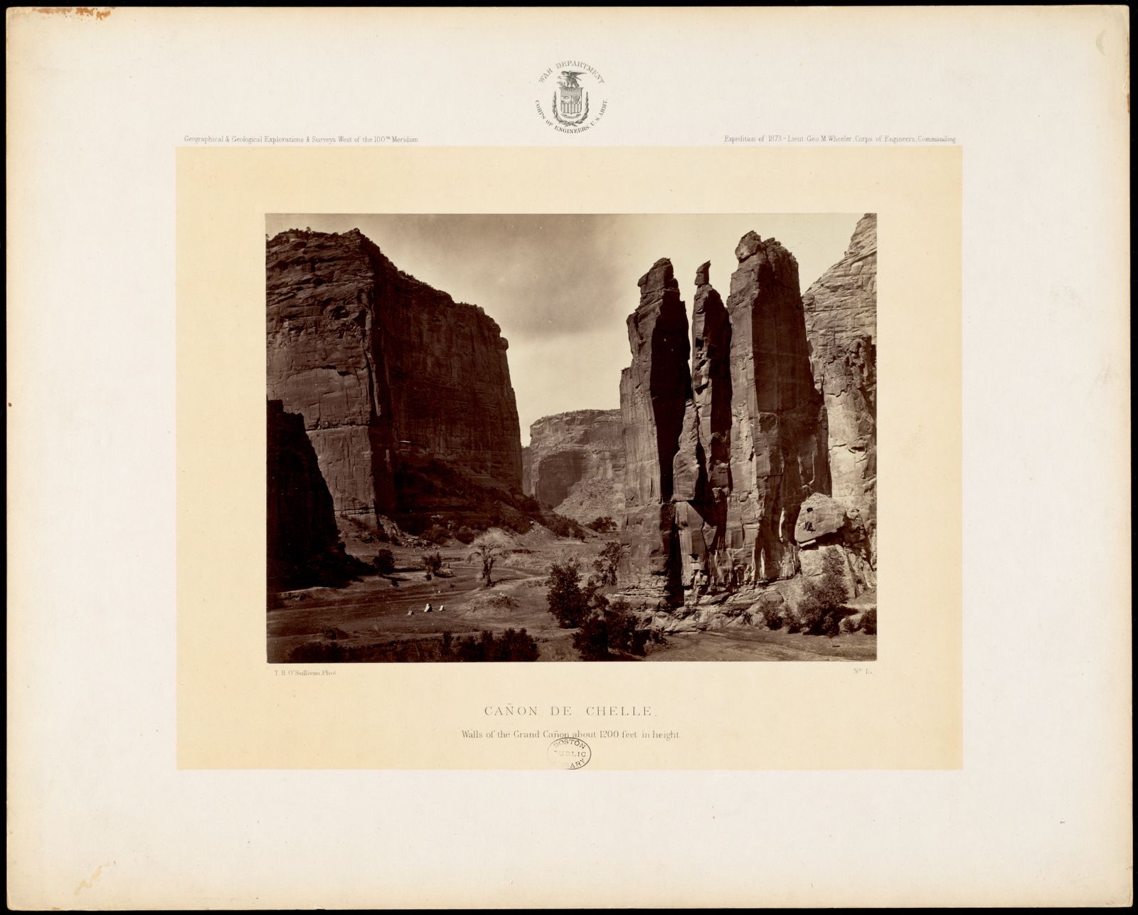
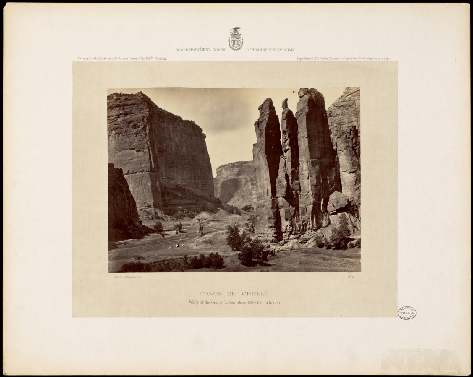
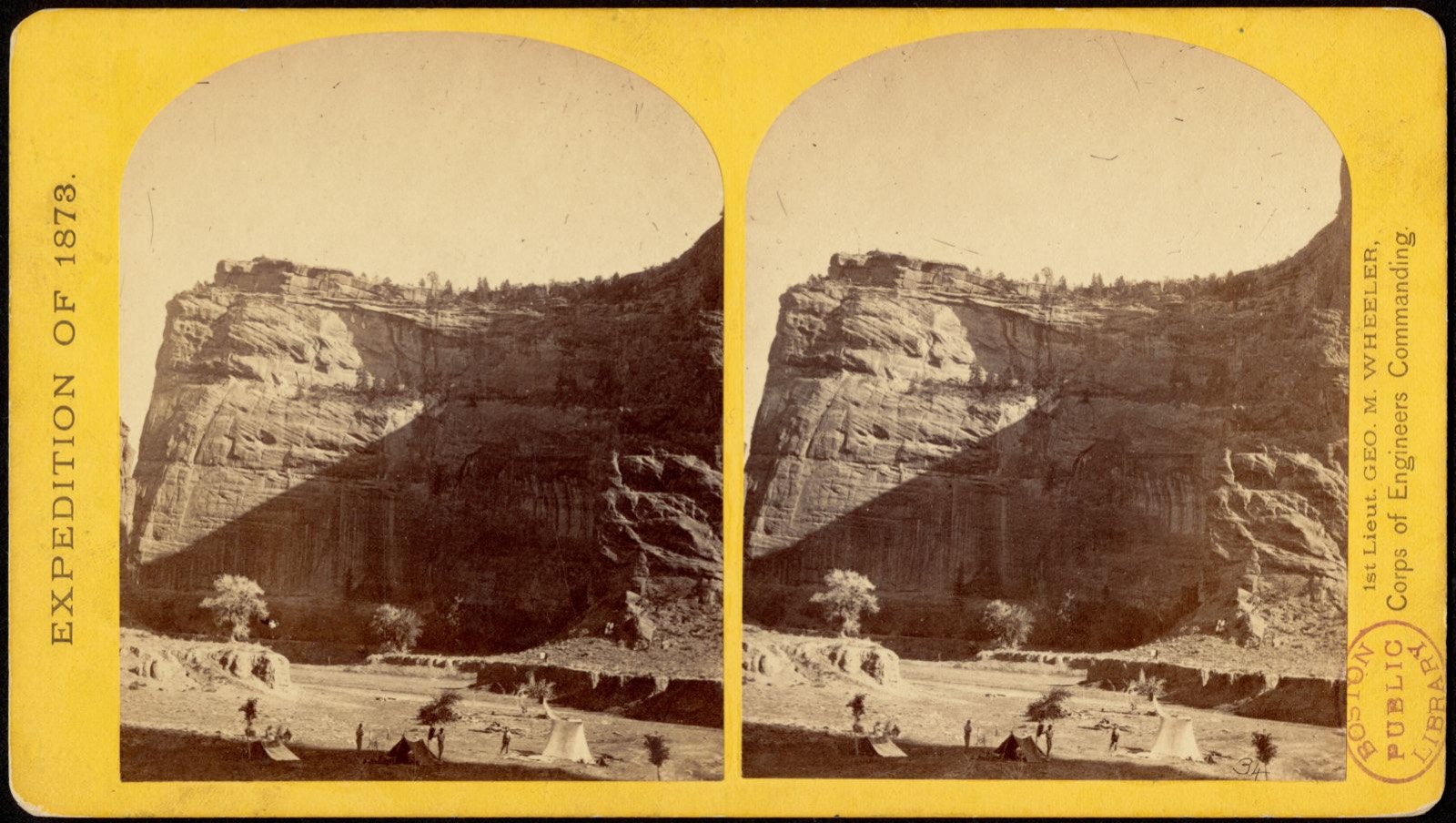
Selected from the Digital Public Library of America's 29 image records catalogued for this county. Every one shown here carries a public-domain status or a licence that permits reuse on a site that carries advertising; non-commercial, share-alike and restricted images are excluded. The selection is spread across the county's towns (at most eight per town), so no single institution's bulk upload crowds out the rest. Each opens the holding library's record, and the complete set at the Digital Public Library of America is one click away.
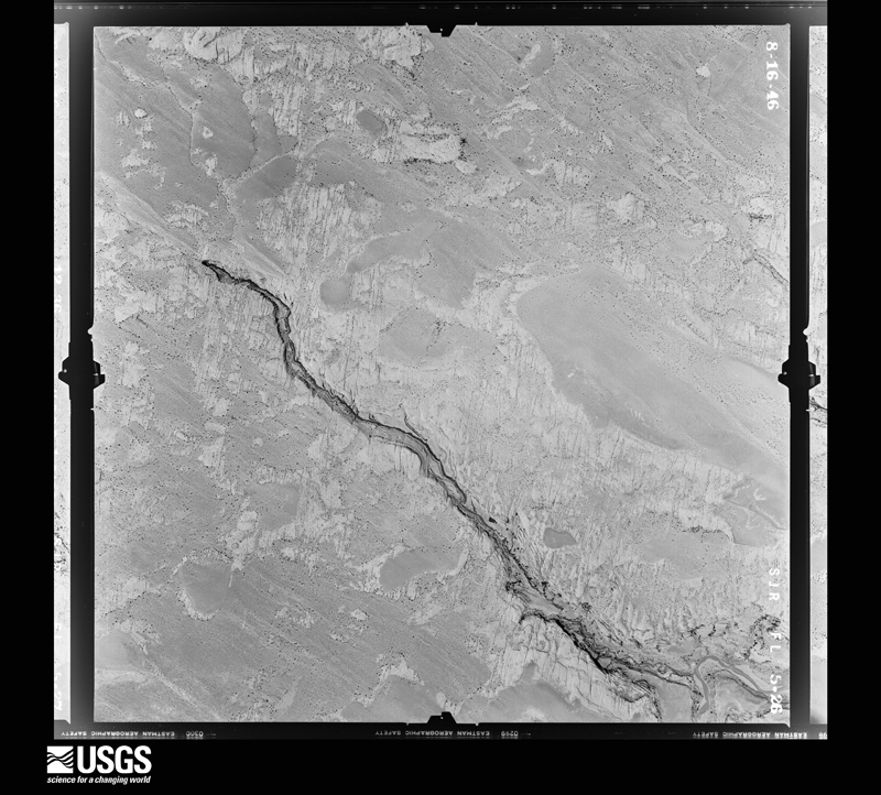
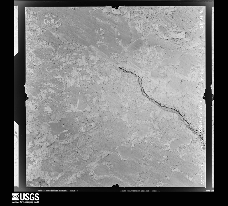
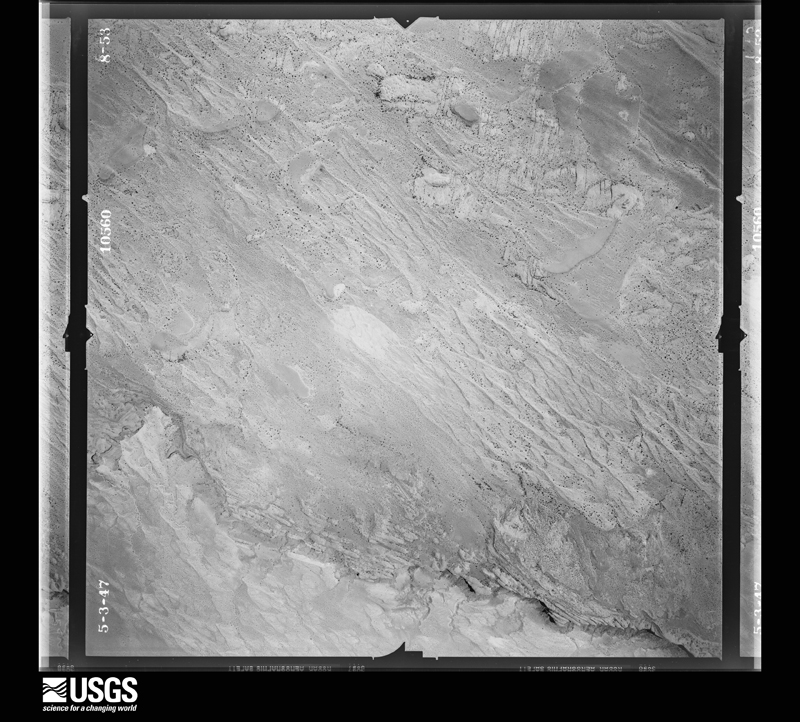
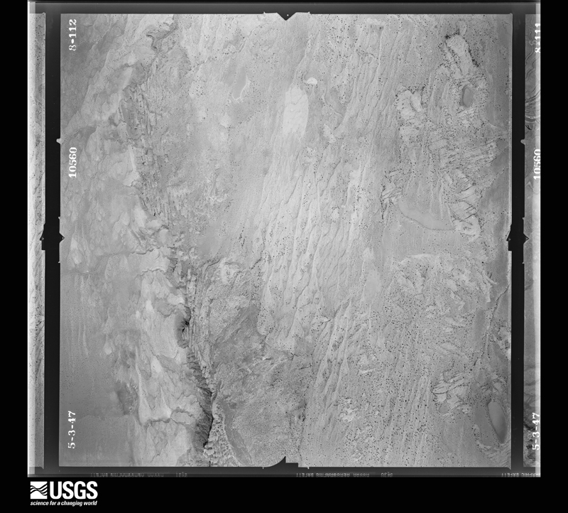
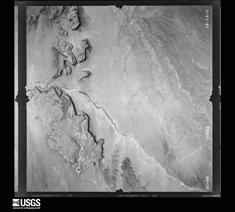
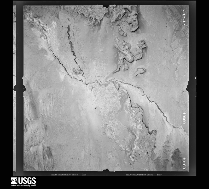
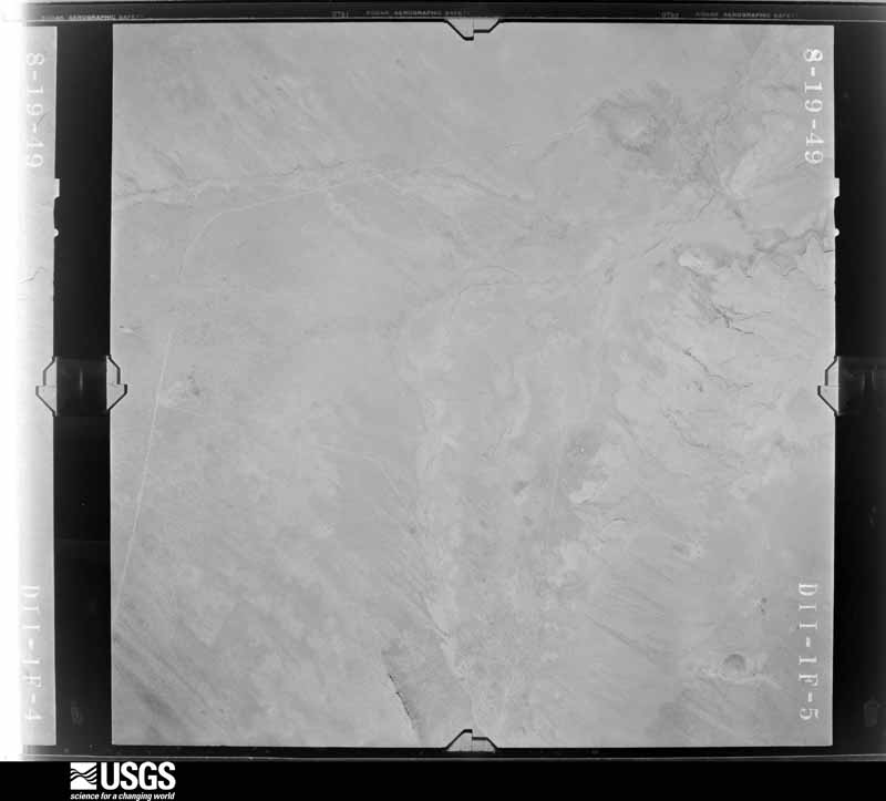
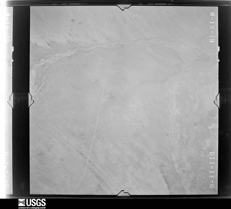
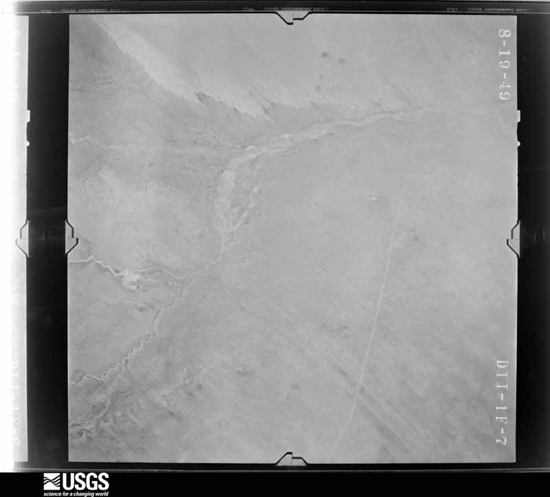
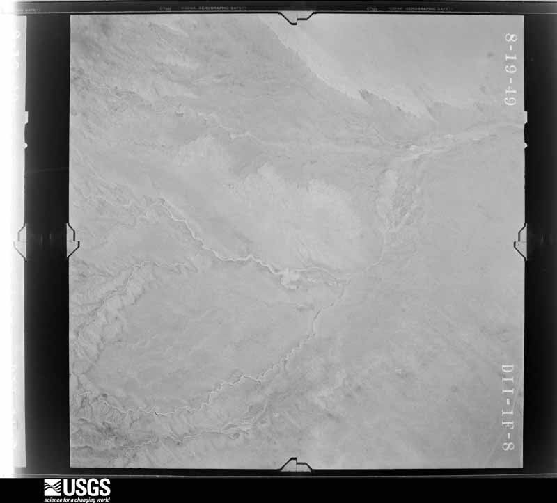
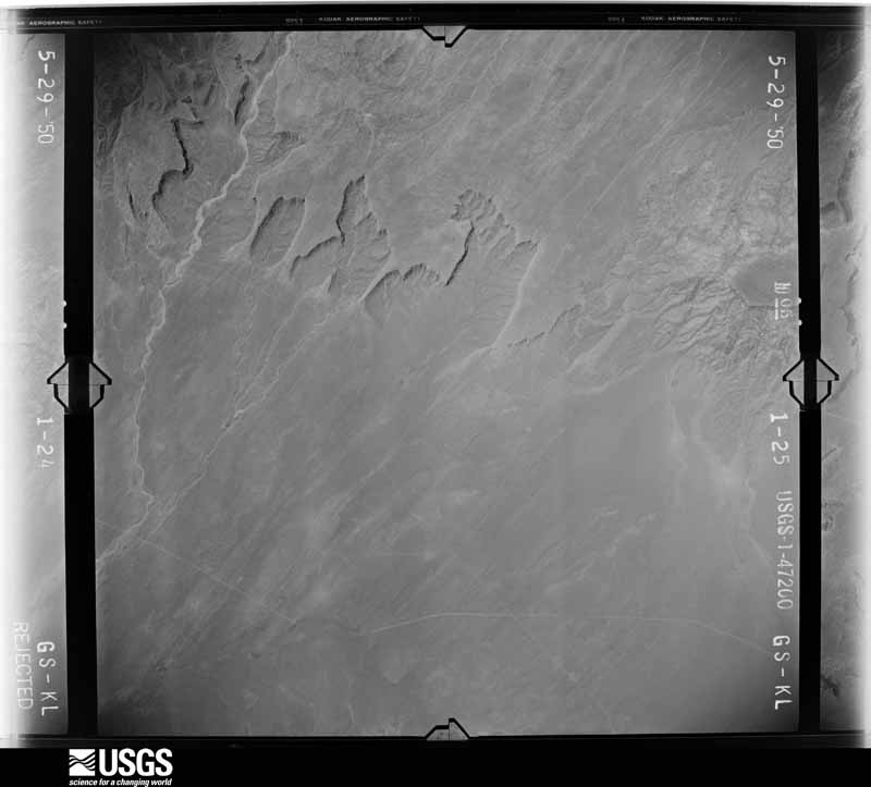
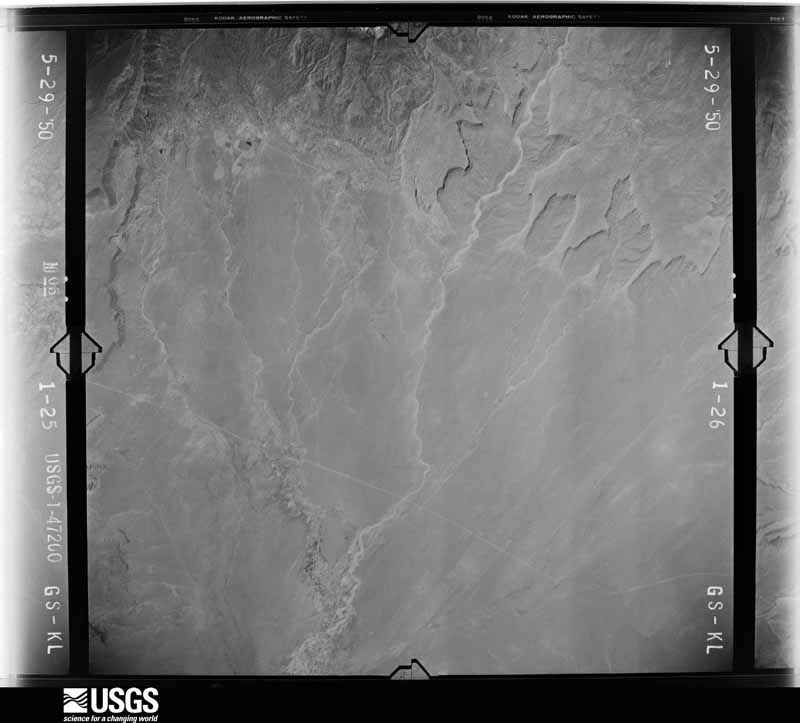
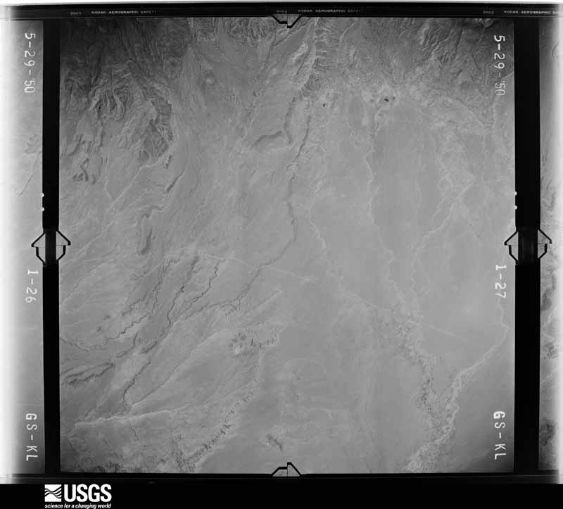
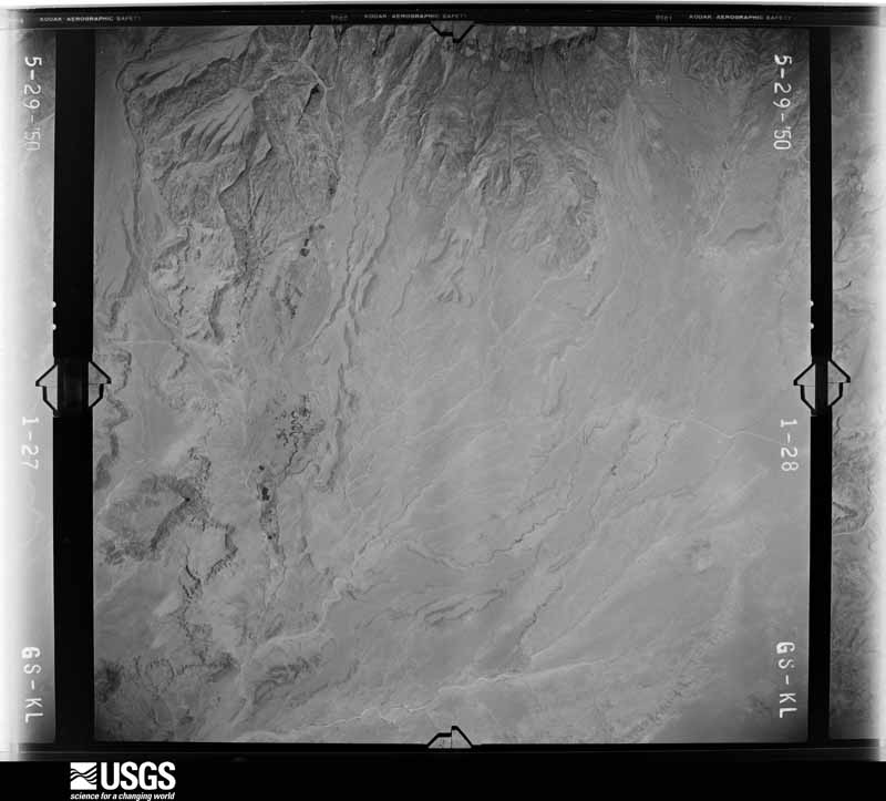
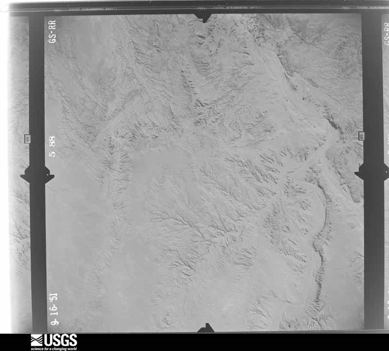
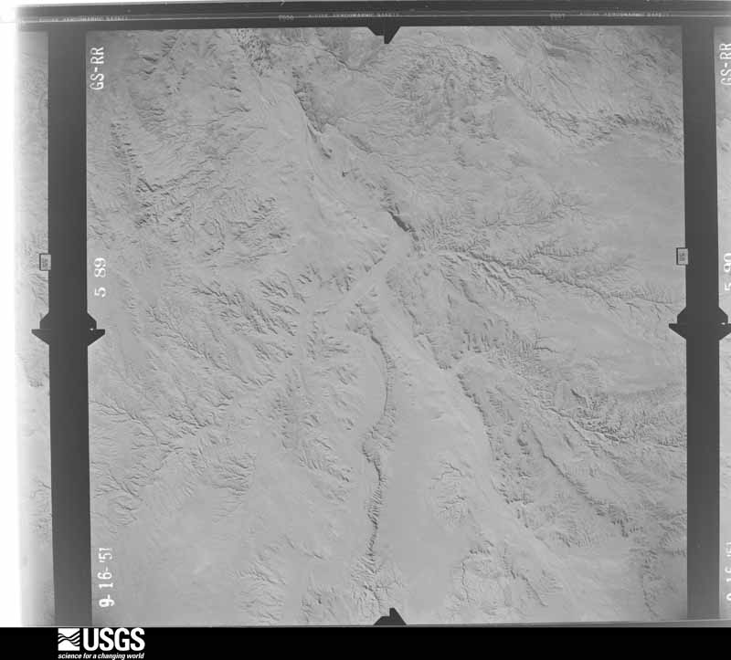
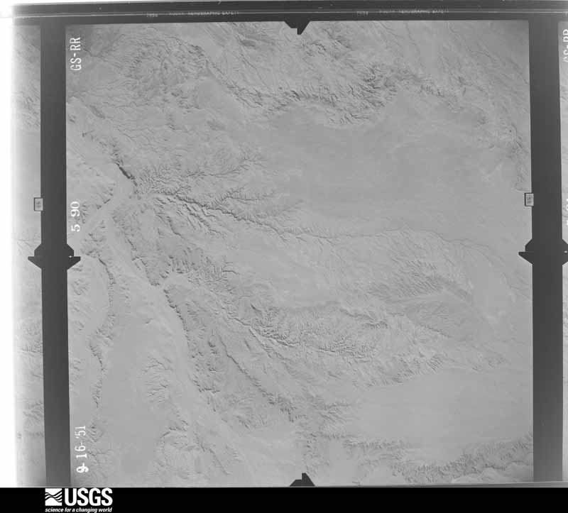
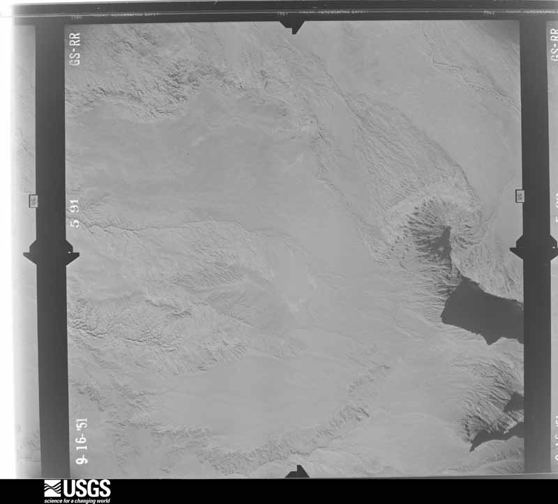
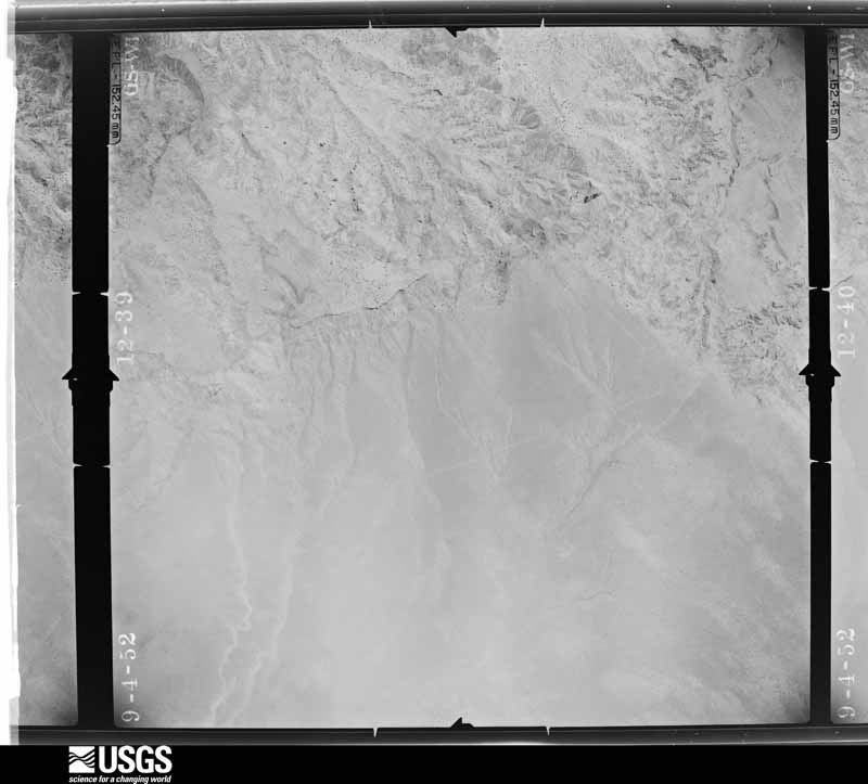
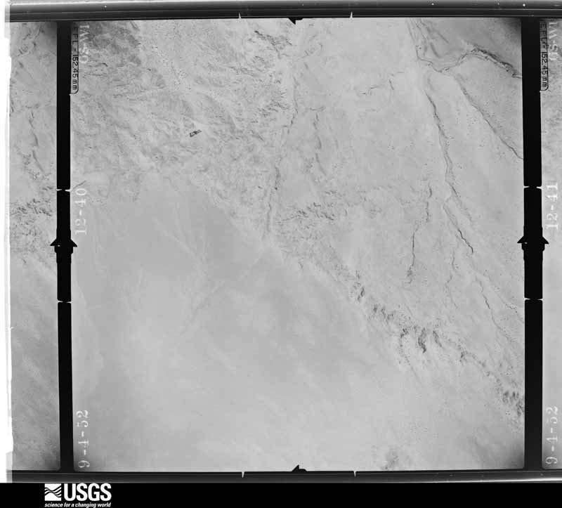
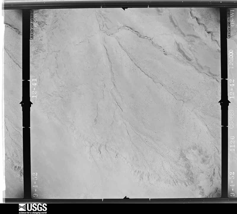
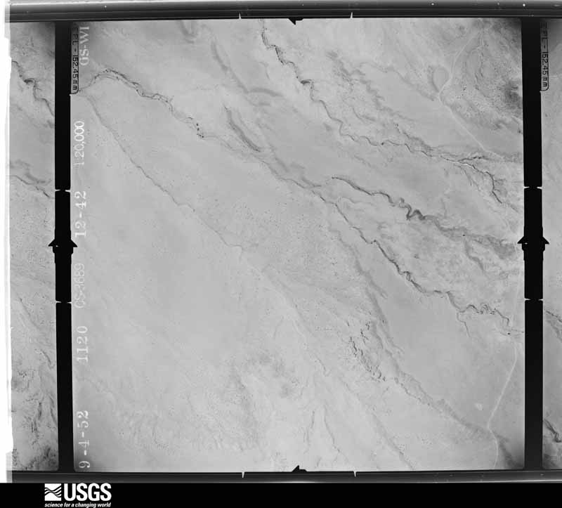
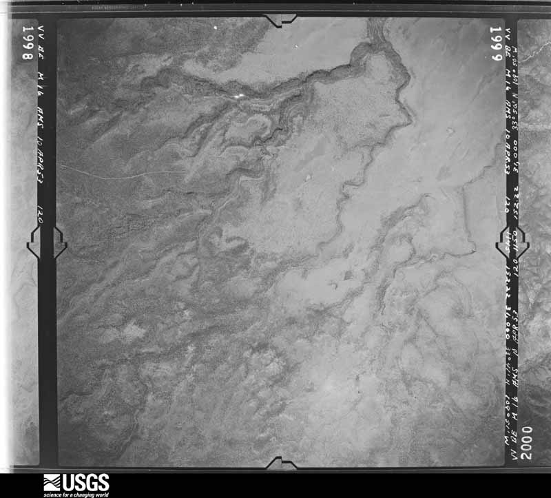
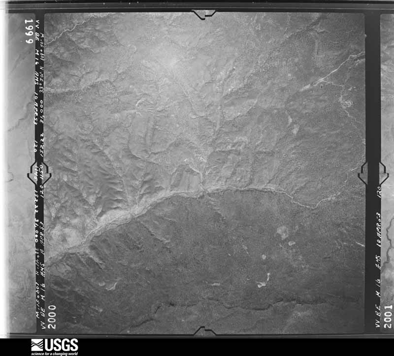
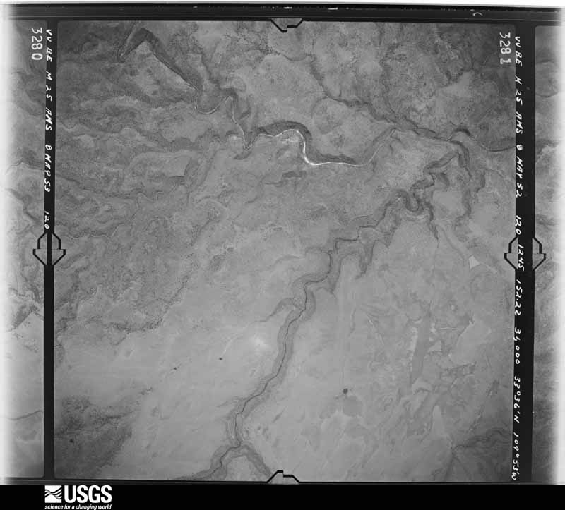
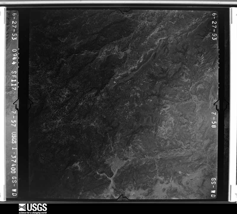
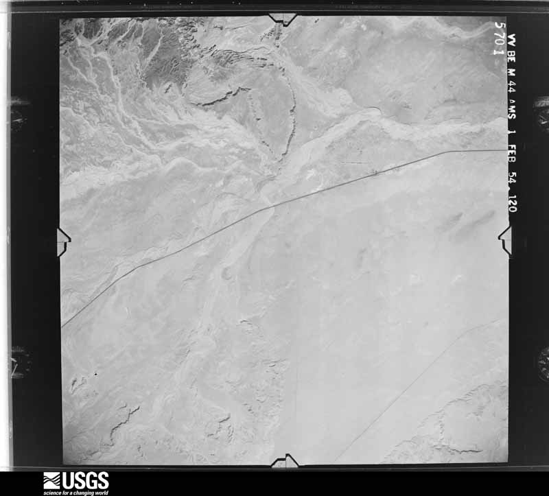
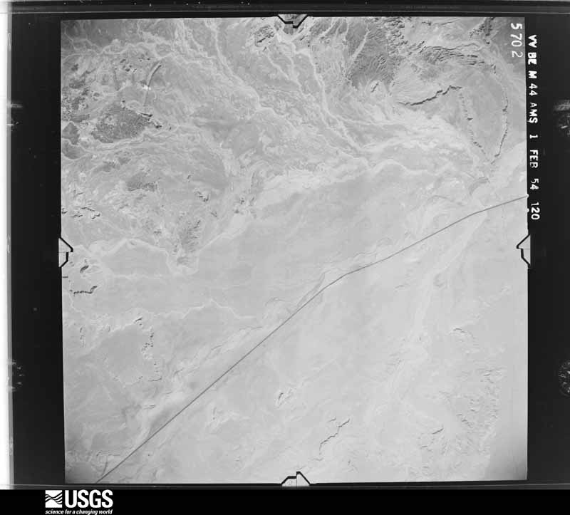
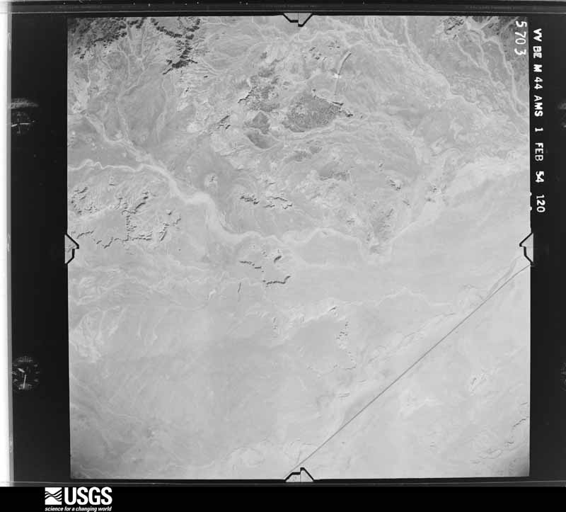
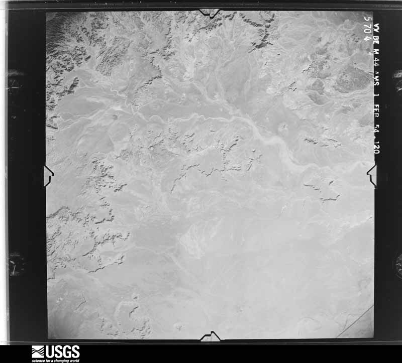
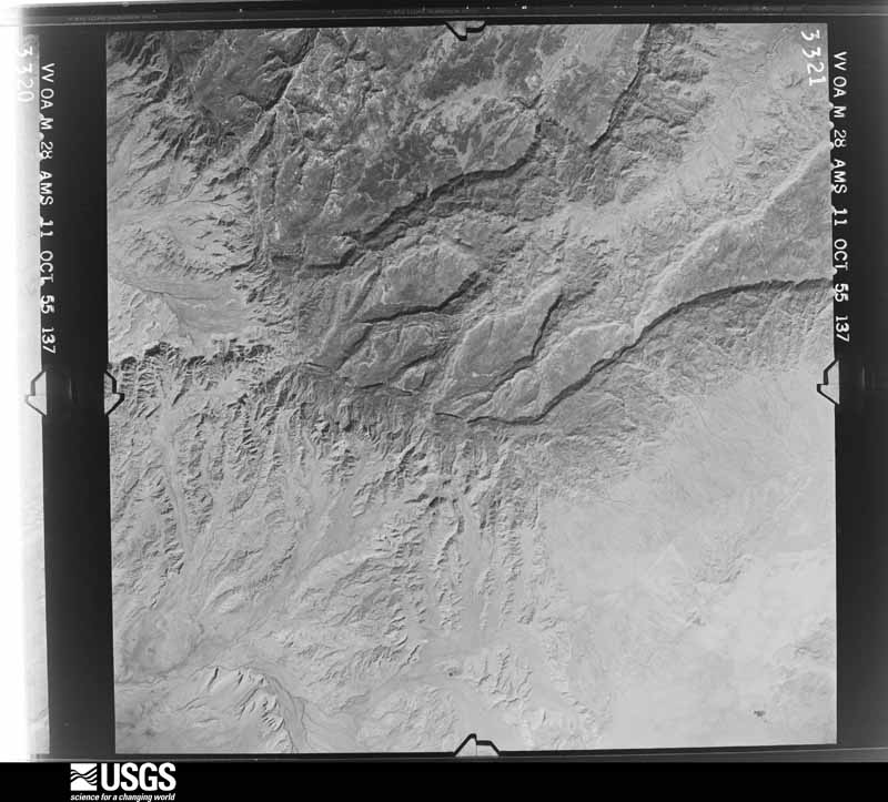
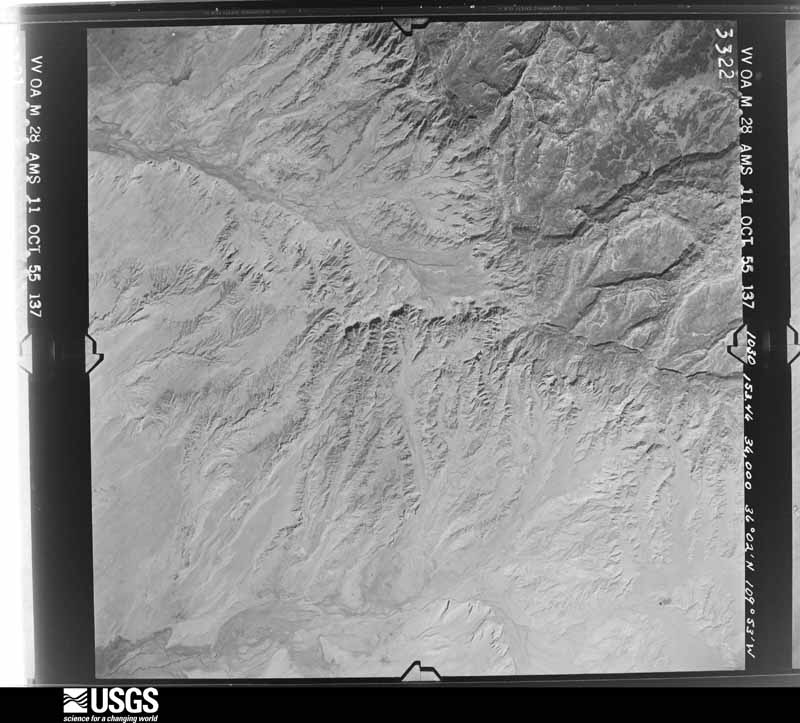
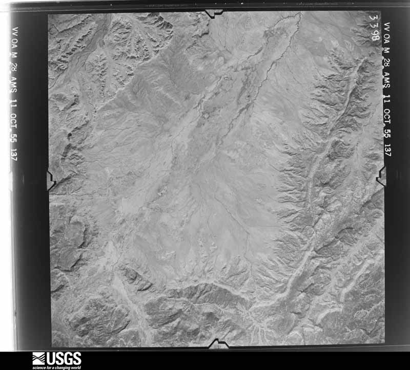
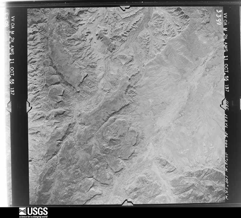
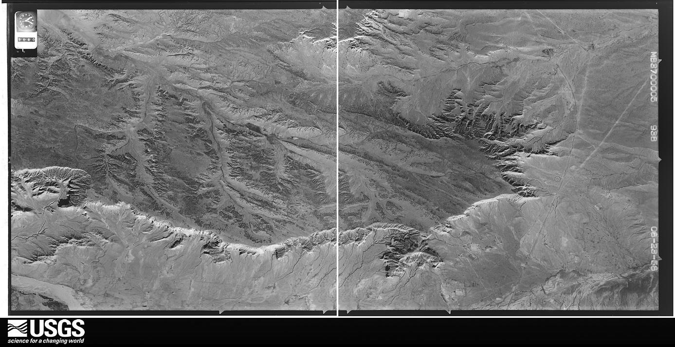
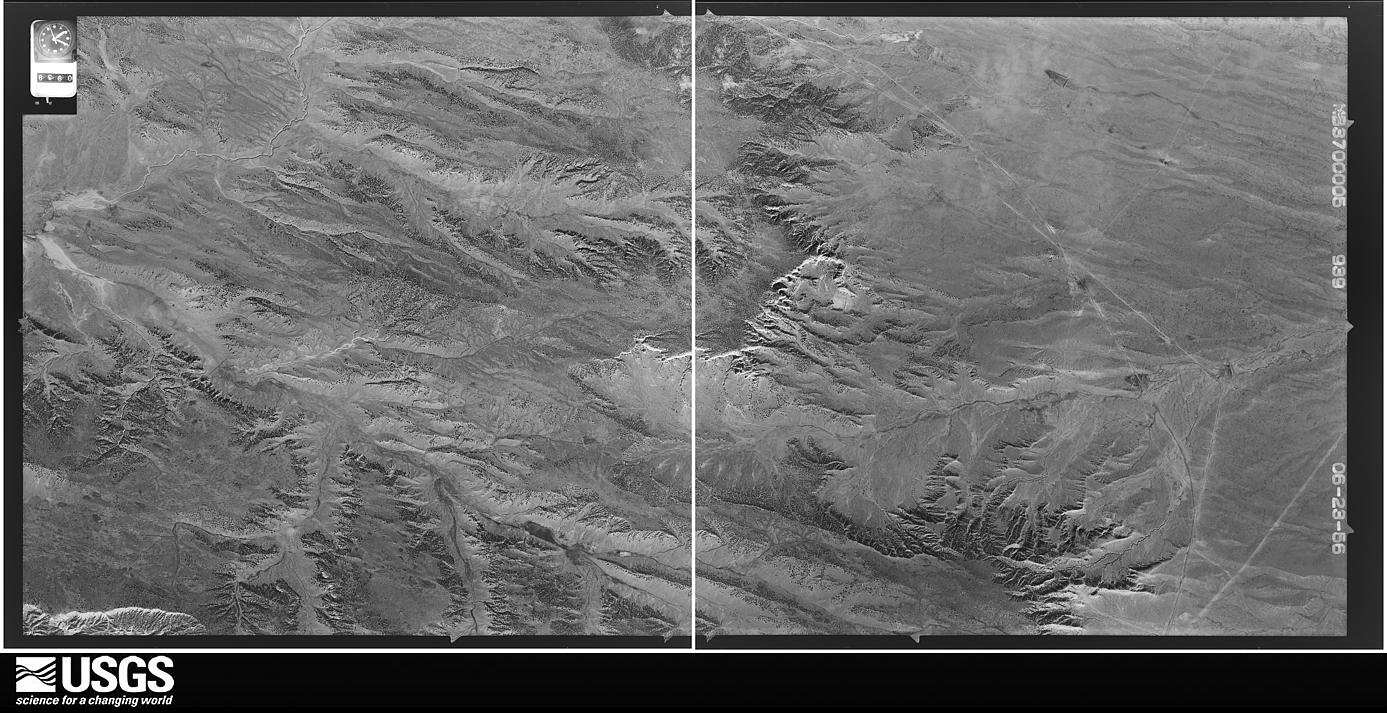
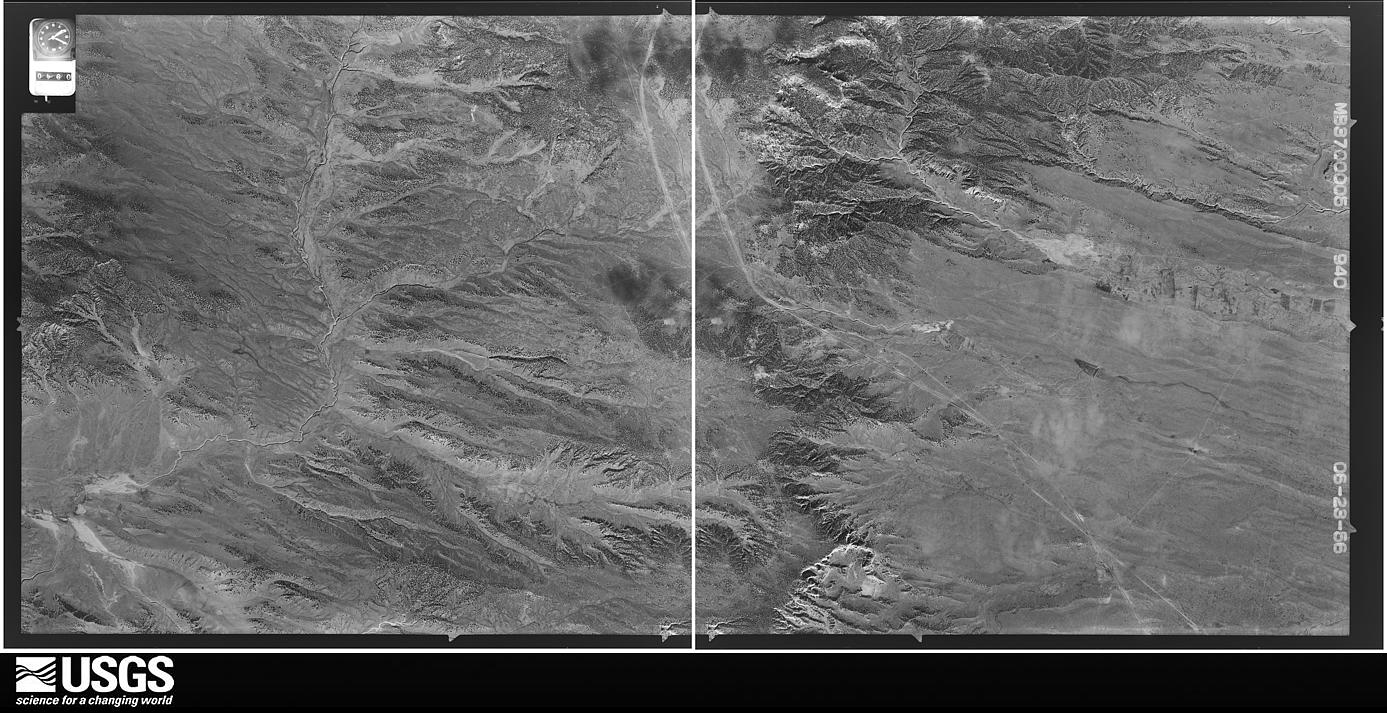
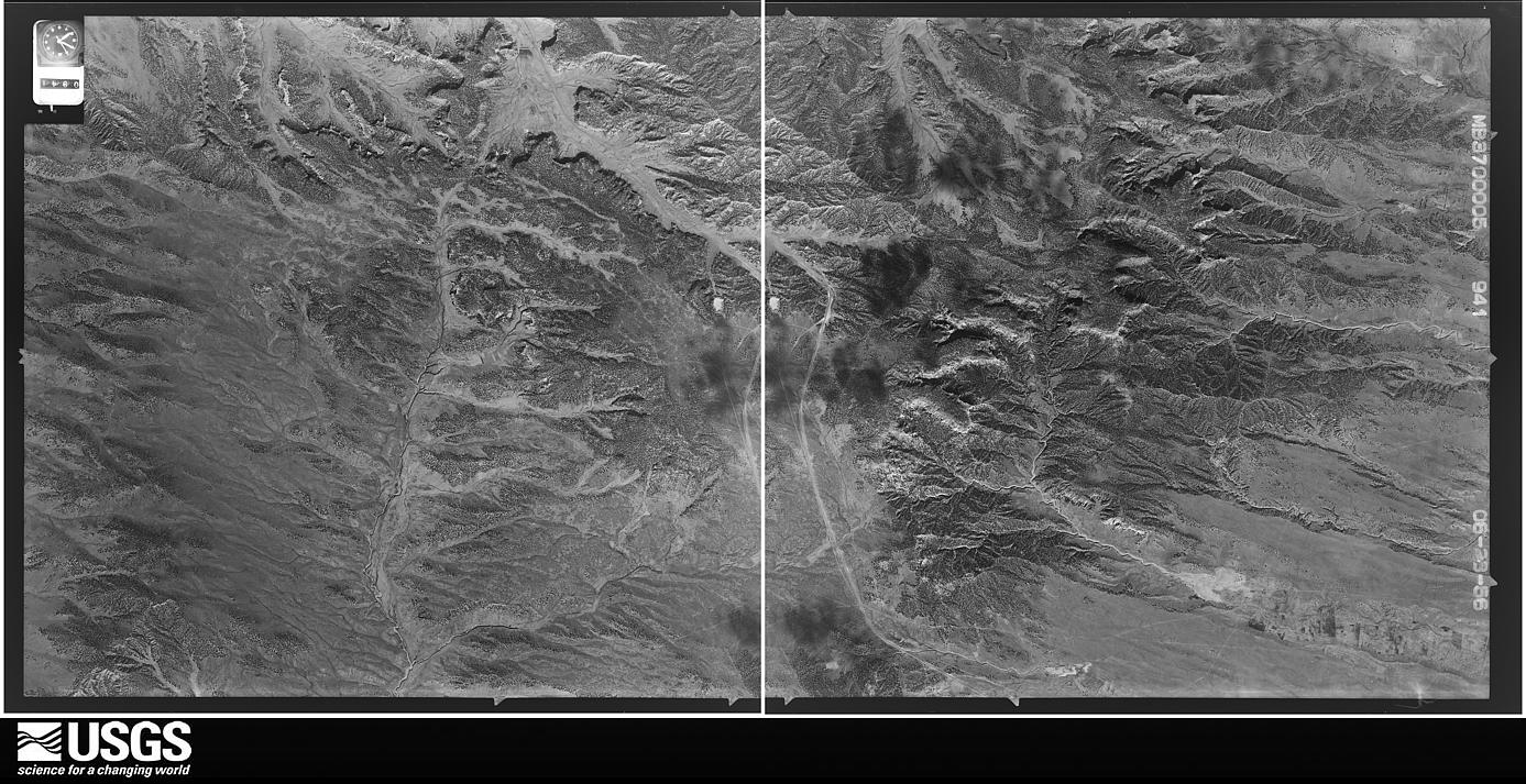
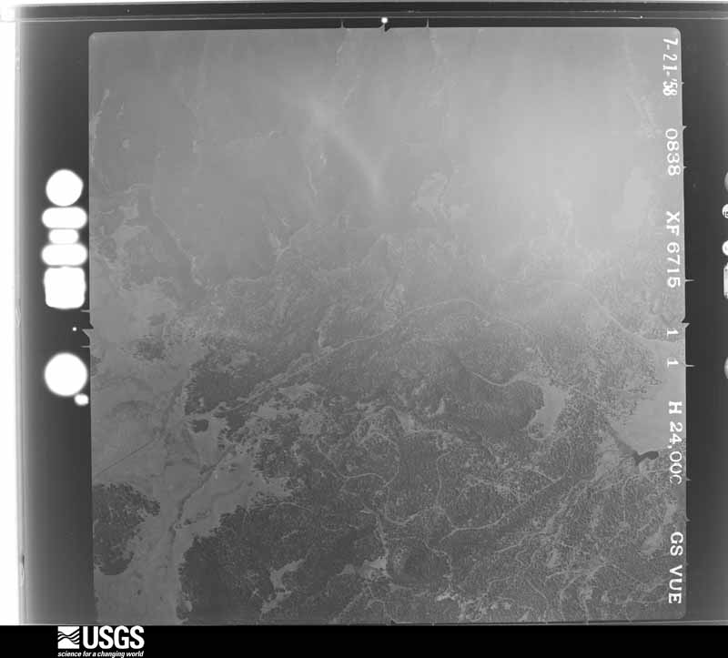
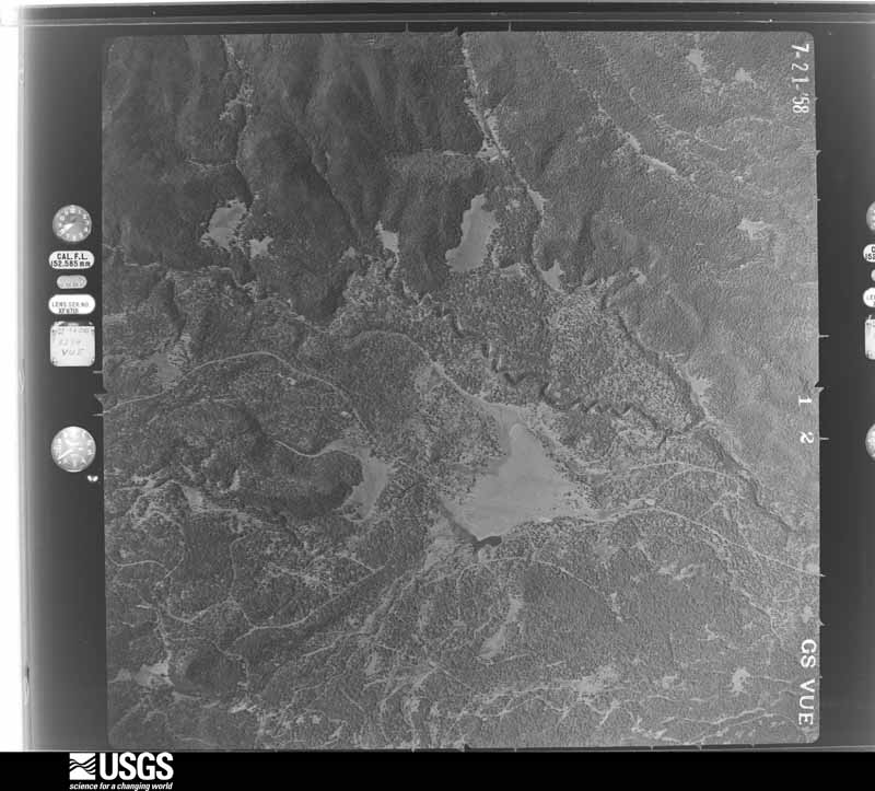
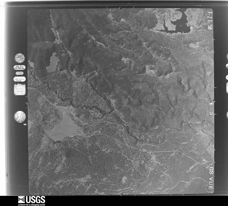
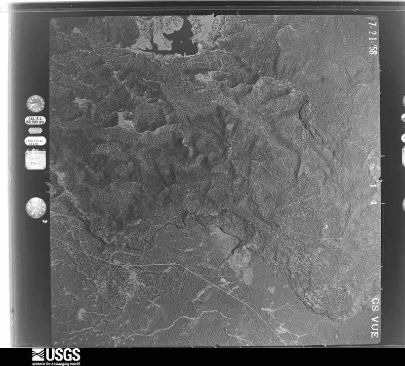
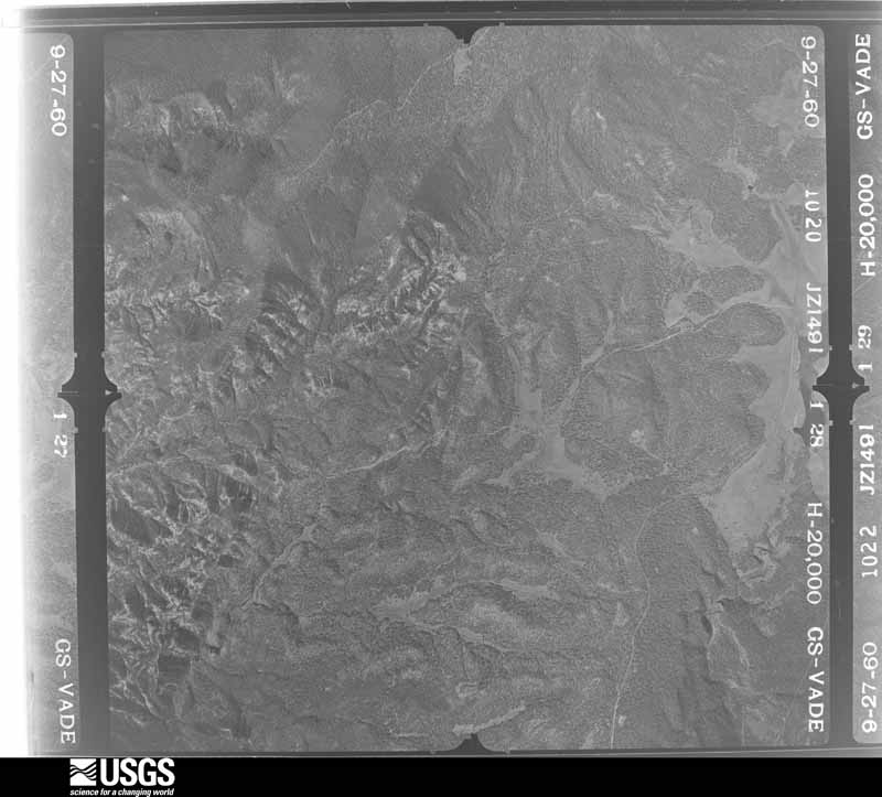
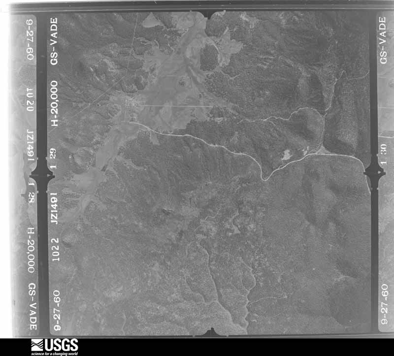
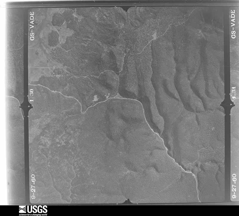
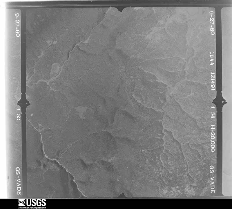
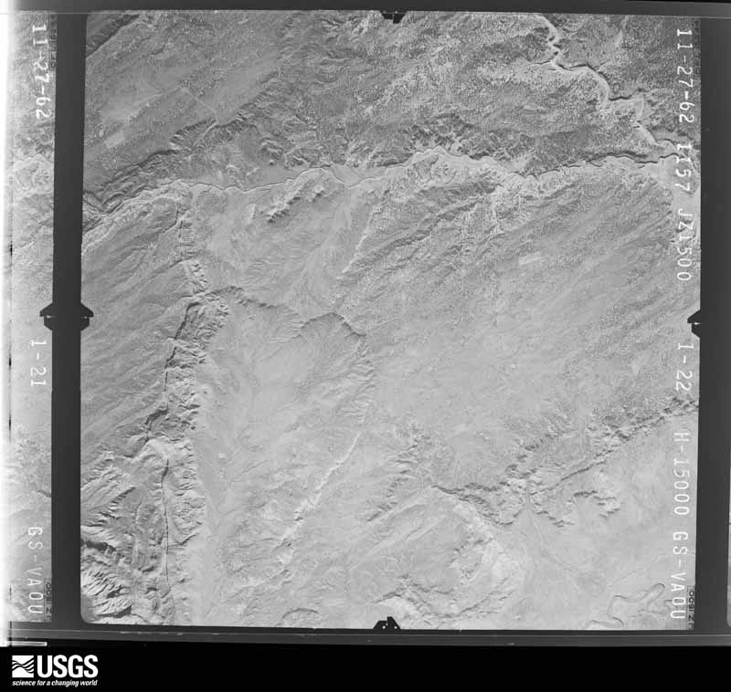
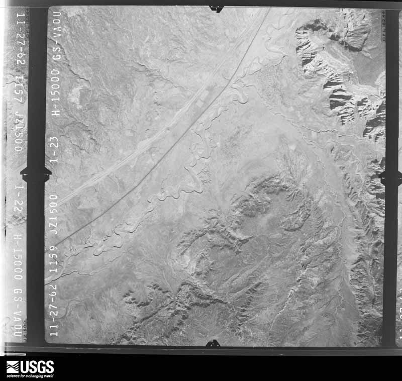
Flown by the U.S. Geological Survey between 1937 and 1989, the Aerial Photo Single Frames collection is the definitive mid-century view of the land: fields, roads and rivers as the camera saw them. The Survey holds 15,399 frames inside the rectangle that bounds this county; the 48 frames below were taken over the county itself, chosen across the decades of flights (at most four a year from that rectangle), so one flight cannot crowd out the rest. The full set is free to browse and download at EarthExplorer under the dataset Aerial Photo Single Frames.
The thermometers that kept this county's weather, and the gages that measured the flow of its streams, as the federal records hold them. The extremes below are measured values from those records, not estimates.
Who lived here in 1950, one enumeration district at a time, as the Census Bureau described each district. Each row opens its official National Archives result, with Population Schedules and ED Maps available there.
Every wildfire the federal occurrence database records inside this county: 6,401 of them, burning about 158,246 acres. 3,867 started naturally and 198 were recorded as arson. Each settlement page carries the fires within five miles of it.
| Reported cause | Fires |
|---|---|
| Natural | 3867 |
| Debris and open burning | 832 |
| Missing data/not specified/undetermined | 594 |
| Recreation and ceremony | 440 |
| Arson/incendiarism | 198 |
| Equipment and vehicle use | 161 |
| Smoking | 101 |
| Misuse of fire by a minor | 98 |
| Fireworks | 47 |
| Power generation/transmission/distribution | 37 |
| Other causes | 17 |
| Railroad operations and maintenance | 9 |
The five largest, by the area the report gives. One of them was set deliberately.
| Date | Cause | Size | Reported by | Name on the report |
|---|---|---|---|---|
| 11 April 2018 | Recreation and ceremony | 26,072 acres | Fort Apache Agency | RATTLESNAKE |
| 27 June 2020 | Natural | 12,861 acres | Navajo Region Fire and Aviation Management | WOOD SPRINGS 2 |
| 20 November 2010 | Debris and open burning | 9,005 acres | Apache-Sitgreaves National Forest | TURKEY |
| 4 May 2002 | Equipment and vehicle use | 8,800 acres | Arizona Department of Forestry and Fire Management - State Office | LITTLE |
| 8 June 2004 | Smoking | 7,905 acres | Apache-Sitgreaves National Forest | THREE FORKS |
| 13 July 2016 | Natural | 7,534 acres | Fort Apache Agency | PAIR O' DICE |
| 26 June 2014 | Arson/incendiarism | 6,975 acres | Fort Apache Agency | SAN JUAN |
| 23 February 2011 | Missing data/not specified/undetermined | 4,922 acres | Arizona Department of Forestry and Fire Management - State Office | BIG HOLLOW |
Every settlement page carries the fires within five miles of it - see the settlement index below.
The NOAA Storm Events Database holds 235 reports for this county, causing 4 deaths, 2 injuries and about $272,500 in recorded property damage. Each settlement page carries the reports that name it.
| Kind of event | Reports |
|---|---|
| Flash Flood | 98 |
| Heavy Rain | 37 |
| Funnel Cloud | 24 |
| Thunderstorm Wind | 22 |
| Hail | 21 |
| Tornado | 17 |
| Flood | 9 |
| Lightning | 5 |
| Wildfire | 2 |
The most serious of them, by death, then injury, then recorded damage. The accounts are quoted exactly as the forecast office filed them.
| When | Event | Place named | Harm | What the report says |
|---|---|---|---|---|
| August 2006 | Lightning | Mc Nary | 1 killed, 1 hurt | Three people sought shelter under a tree during a thunderstorm. Lightning stuck the tree. One person was killed and one person as injured. This happened about 8 miles south of McNary. |
| September 2013 | Lightning | Nazlini Arpt | 1 killed | A man was stuck and killed by lightning while fishing from a canoe on Big Lake. |
| July 2011 | Lightning | Nazlini Arpt | 1 killed | A 46 year old man was stuck and killed by lightning at a National Forest Campground at a National Forest campground near Big Lake, Arizona. |
| July 2007 | Lightning | Nazlini | 1 killed | A 21-year-old man from the town of Nazlini was watching a rain swollen waterfall from a metal bridge. He was struck by a lightning bolt while standing on the bridge. He was transported to a Phoenix hospital where he later died. Other individuals in the vicinity of the strike were knocked over by the shock wave but were not seriously injured. |
| October 2000 | Thunderstorm Wind | Cross Canyon | 1 hurt | The wind from a thrunderstorm blew over a camper south of the town of Cross Canyon. A child in the camper was injured. |
| September 2013 | Flash Flood | Dinnehotso | $100,000 | Close to 50 families were displace across the Navajo Nation in Apache County because of the flash flooding. Part of the Navajo Zoo was inundated with water. |
| July 2011 | Flash Flood | Nutrioso | $25,000 | Heavy rain over Escudilla Peak area caused flash flooding and mud slides over sections of Highway 180/191 north and southeast of Alpine. Mud, trees, and rocks temporarily blocked the highway between Alpine and Nutrioso. The Alpine Ranger District Office experienced minor flooding in front of the office. Flooding and erosion on private property was also reported. Rainfall amounts of around an inch to one and a half inches was reported. |
| July 2011 | Flash Flood | Nazlini Arpt | $20,000 | The Greer Fire Department reported flash flooding on Butler Creek in Greer. Water and debris flowed to a dept of 1 to 2 feet. |
| August 2011 | Flash Flood | Nazlini Arpt | $20,000 | Flash flooding flooding and debris flows were reported along side canyons and over road ways in the eastern side of Greer. Rocks one foot in diameter washed over roads. The creek in Butler Canyon over flowed its banks. |
| August 2011 | Flash Flood | Alpine | $20,000 | Arizona Department of Transportation reported flooding on Highway 180 from mile post 419 to 425. A motorcycle was swept away. The driver was able to escape. Water was flowing over subdivision streets on the north side of Alpine. |
| July 2011 | Flash Flood | Alpine | $20,000 | A flash flood and mud slide crossed Highway 191 just south of Alpine. |
| July 2011 | Flash Flood | Alpine | $10,000 | Spotters reported water, mud, and burn area debris/ash flowing across residential properties and threatening homes. |
| July 2011 | Heavy Rain | Nutrioso | $10,000 | Heavy rain caused Colter Creek to overflow the banks and flood yards. One quarter of an inch of rain fell in just 15 minutes. |
| July 2011 | Flash Flood | Nutrioso | $10,000 | Colter Creek in Nutrioso was flooding. |
| September 2013 | Lightning | Many Farms | $7,500 | Fifteen sheep were killed by lightning. Time and location are estimates. |
| August 2019 | Hail | Eagar | $5,000 | Hail almost the size of a quarter fell from 1120 to 1140 AM. This storm removed leaves off trees and knocked down branches and fruit around town. |
| July 2011 | Flash Flood | Alpine | $5,000 | Apache Country Road 2153 (unmaintained) near Alpine flooded and was impassable. |
| July 2011 | Flash Flood | Nazlini Arpt | $5,000 | Minor flooding was reported in the Greer area. Drainages were flowing 20 to 50 feet wide and 12 to 18 inches deep in Bulter Canyon and East Fork of the Little Colorado River. Water was flowing across the southern portion of East Fork Road. The Little Colorado River was up 18 inches. |
| July 2011 | Flash Flood | Nazlini Arpt | $5,000 | Apache Country Road 1126 near Greer flooded. There was over an inch of standing water in the Greer Fire Station. |
| October 2010 | Hail | Teec Nos Pos Arpt | $5,000 | Golf ball sized (1.75 inches in diameter) knocked out several windshields on Highway 160 and in Four Corners National Monument. |
| July 2012 | Thunderstorm Wind | St Johns | $4,000 | A cinder block flew through a wand in a house and poked a hole in the sheet rock inside. Another cinder block fell into the sheet metal roof. Possible micro burst lifted building material (4X8 foot plywood) with the cinder blocks on top...lofting the cinder blocks into the house. Three power lines were also blown down. The heavy rain from the thunderstorm was a foot deep in places. |
| August 1997 | Flash Flood | Chinle | $1,000 | Several reports of flooding around the Chinle area. First reports were received northwest of Chinle near the community of Rough Rock where Reservation Route 59 was impassable due to floodwaters. The last reports were received near Chinle where Reservation Route 27 was also flooded over. |
| June 2025 | Tornado (EFU) | Springerville | - | Public reported via social media a video of a landspout tornado out in a rural field about 5 miles NNE of Springerville. No damage was reported. Tornado was rated EFU, but could be an EF0. No damage survey was done. Path is approximated. |
| October 2025 | Flood | Dinnehotso | - | Navajo Nation Police reported that N6461/N6460 closed due to a washout and significant road damage west of the Loop Road. The exact time of the wash-out is unknown. |
| September 2025 | Thunderstorm Wind | St Johns Muni Arpt | - | The St. Johns Airport ASOS station (KSJN) measured a 64 mph thunderstorm wind gust. |
| July 2024 | Flash Flood | Lyman Lake | - | A USGS stream gage along the Little Colorado River near St. Johns (LCSA3) reported a 3.8 foot rise between 530 PM and 830 PM. The flow returned to near normal around 800 AM on the 28th. St. Johns police reported that multiple homes being flooded along Commercial Street and along 7th Street South near the Little Colorado River. Street flooding was also occurring in St Johns. |
| July 2024 | Heavy Rain | Nutrioso | - | Spotter near Escudilla Mountain reported that 2.00 inches of rain fell in 45 minutes. |
| June 2024 | Hail | Tofacon | - | Large hail broke windows in and around Immanuel Mission School. Time estimated from radar. |
| June 2024 | Flash Flood | Rough Rock | - | The road from Rough Rock to Black Mesa was washed out with very large boulders blocking the road. |
| June 2024 | Thunderstorm Wind | Tofacon | - | Strong thunderstorm winds blew roofs from structures around Immanuel Mission. |
| June 2024 | Funnel Cloud | Teec Nos Pos | - | Rotating funnel was observed for approxamatly 10 minutes with supercell thunderstorm. It almost touched the ground. Location estimated from landmarks in pictures. |
| June 2024 | Flash Flood | Rock Pt Arpt | - | Water was flowing over Hwy 191 at Milepost 491 (near Rock Point). There were stranded vehicles. Time of was event estimated. Report and photo from Social Media. |
| June 2024 | Flash Flood | Tofacon | - | Heavy rain overtopped and washed out several dirt roads in the area. |
| August 2024 | Flash Flood | St Johns | - | Heavy rain caused an incrase in the water flowing down the Little Colorado River near St Johns. The flow started to incrase at 1500 and peaked at around 2 feet higher at 1700. The river dropped back to near normal at 2100. |
| April 2023 | Flood | Chinle | - | The Navajo Nation Emergency Manager reported flooding in Chinle on the Chinle Creek early on April 23. The flood warning was downgraded to an advisory on April 30. The emergency operations center was staffed until May 9th. |
| March 2023 | Flood | Lyman Lake | - | The Little Colorado River in Apache County began to flood early March 22. The river remained high until mid-day March 24. |
| August 2023 | Flash Flood | Steamboat Canyon | - | Indian Route 15 was closed due to flooding at mile post 95 between Cornfields and Greasewood. Report was from Navajo Nation Road Conditions Facebook page. |
| July 2022 | Flash Flood | Chinle | - | A few people were evacuated from a home that flooded in eastern Chinle near Canyon de Chelly. The time was estimated from radar. |
| August 2022 | Flash Flood | Chinle | - | Several videos of major flooding north of Chinle were posted on social media. |
| August 2022 | Flash Flood | Wide Ruin | - | Flooding was reported on Highway 191 near Wide Ruin. |
| August 2022 | Flash Flood | Ganado | - | Indian Route 15 from Burnside to Greasewood flooded in areas and there were puddles on the road. This is a paved road. |
| August 2022 | Flash Flood | Many Farms | - | Major flooding was reported north of Many Farms Lake. |
| August 2022 | Flash Flood | Window Rock | - | Flash flooding was reported in the Tse Bonito Wash and across State Route 264 in Window Rock. |
| August 2022 | Flash Flood | Lyman Lake | - | The Little Colorado River had a 3 foot rise above Lyman Lake. |
| August 2022 | Flash Flood | Steamboat Canyon | - | The Cornfields Chapter House reported that water was overtopping Navajo Route 15 with Law Enforcement diverting traffic. Greaswood Springs Road to Klagetoh was flooded. State Route 264 was flooded near County Road 317. |
| July 2022 | Flash Flood | Steamboat Canyon | - | Flooding was reported in rural Steamboat Canyon. Water washed out a residential road. |
| July 2022 | Flash Flood | Ft Defiance | - | A video of flash flooding three miles north of Fort Defiance was posted on social media. |
| September 2022 | Funnel Cloud | Window Rock | - | Pictures of a funnel cloud near Window Rock were posted on social media. |
| September 2022 | Tornado (EF0) | Dinnehotso | - | A tornado formed and traveled along the leading edge of a thunderstorm outflow boundary. |
| July 2021 | Flash Flood | St Johns Muni Arpt | - | Water was flowing across a one mile stretch of Highway 61 west of St Johns between mile markers 362 and 363. |
| July 2021 | Flash Flood | Ft Defiance | - | Social media post indicated road flooding in Fort Defiance. |
| July 2021 | Funnel Cloud | Nazlini Arpt | - | People in Greer took pictures and video of a funnel cloud to the southeast moving west. |
| September 2021 | Flash Flood | Rock Pt | - | Highway 191 was closed due to flooding over the highway at Mile Post 491.8 between Round Rock and Rock Point (by Whale Rock) at 1135 PM. A social media video post showed a dangerous swollen wash along Highway 191. |
| June 2021 | Tornado (EF0) | Sanders | - | A land spout tornado was reported by the public on Highway 191. The land spout formed along a gust front produced by a thunderstorm. |
| August 2021 | Flash Flood | Concho | - | Many roads were flooded in Concho. Water was up to the door steps of businesses. |
| August 2021 | Flash Flood | Hunt | - | Arizona Department of Transportation reported that Highway 180A was closed due to flooding at mile post 347. Pictures on social media showed water at least a foot deep on roadways in this area. |
| October 2021 | Hail | Hunt Green Vly Arpt | - | Persistent large hail was reported. |
| August 2021 | Flash Flood | Vernon | - | Substantial flooding was reported within Vernon. County Roads 3131, 3137, and 3187 were impassable. |
| July 2021 | Flash Flood | St Johns | - | A flash flood in The Little Colorado River covered the Highway 191 bridge in St Johns and made it impassable. |
| July 2021 | Flash Flood | Ganado Greasewood Ar | - | The Chapter House in the community of Cornfields reported flash flooding in five areas along Indian Route 15 between the communities of Greasewood and Burnside, including near the community of Cornfields. The road was covered with more than two feet of water, heavy debris, and thick mud. |
The Survey's mineral resources record lists 502 workings inside this county. 16 still produce and 486 are closed or unrecorded. Each settlement page carries the workings within five miles of it.
| Commodity | Workings |
|---|---|
| Uranium, Vanadium | 141 |
| Uranium | 111 |
| Vanadium | 57 |
| Pumice | 51 |
| Volcanic Materials | 43 |
| Sand and Gravel, Construction | 42 |
| Helium | 23 |
| Vanadium, Uranium | 22 |
| Bentonite | 19 |
| Clay | 11 |
| Limestone, General | 4 |
| Stone | 4 |
| Molybdenum | 3 |
| Silica | 3 |
The least common of them first, because a county's hundredth gravel pit says nothing its first ten did not.
| Where | Site | Commodity | Status | Recorded |
|---|---|---|---|---|
| Buell Park | Olivine, Garnet, Gemstone | Producer | Peridot, Pyrope | |
| Chelly Sandstone | Flagstone | Occurrence | ||
| Cisco | Titanium, Uranium | Prospect | ||
| Garnet Ridge | Gemstone, Garnet, Uranium, Copper | Occurrence | Chrysocolla, Malachite | |
| Hinkson Cattle Co. | Semiprecious Gemstone, Coal | Prospect | ||
| Hunters Point | Stone, Crushed/Broken, Granite | Past Producer | Granite | |
| Kern County Land Company Drill Hole | Helium, Halite, Gypsum-Anhydrite, Potassium | Occurrence | 1964 | |
| Mexican Water | Garnet | Occurrence | Garnet | |
| Pine Springs | Copper | Prospect | ||
| Red Cap Claims | Iron | Prospect | ||
| Steamboat School | Fire Clay (Refractory), Kaolin | Occurrence | Kaolin | |
| Texaco #1 Nav-Z | Helium, Petroleum (Oil) | Past Producer | 1968, 1969 | |
| Unidentified Halite Occurrence | Halite | Occurrence | Halite | |
| Alpine | Zeolites | Occurrence | Clinoptilolite | |
| Beautiful Valley | Silica, Semiprecious Gemstone | Past Producer | Replacement | |
| Cato Sells Monument Mine | Uranium, Vanadium, Iron, Copper, Lead, Molybdenum | Past Producer | Replacement | |
| Clay Pit | Kaolin | Unknown | ||
| Concho Creek | Diatomite | Occurrence | Diatomite | |
| Concho Creek | Diatomite | Occurrence | ||
| Monument No. 2 Mine | Vanadium, Uranium, Iron, Copper, Lead, Molybdenum | Past Producer | Carnotite, Copper, Iron, Lead, Tyuyamunite, Uraninite | |
| North Fork White River | Kaolin | Occurrence | Kaolin | |
| Nutrioso Zeolites | Zeolites | Occurrence | Analcime, Clinoptilolite | |
| Sonsela Butte Deposit | Manganese | Occurrence | Replacement | |
| St. Johns | Silica, Semiprecious Gemstone | Past Producer | Petrified Wood | |
| Steamboat | Manganese | Unknown | ||
| Black and Blackwater Mine | Uranium, Vanadium, Molybdenum | Past Producer | Replacement | |
| Buell Park | Semiprecious Gemstone | Unknown | ||
| Chee Nez No. 1 Mine | Vanadium, Uranium, Molybdenum | Past Producer | Replacement | |
| Garnet Ridge | Semiprecious Gemstone | Prospect | ||
| Houck Silica Operation Mine | Silica | Producer | ||
| Houck Silica Operation Plant | Silica | Producer | ||
| Houck Silica Sand | Silica | Producer | Sedimentary | |
| John M. Yazzie No. 1 Mine | Uranium, Vanadium, Molybdenum | Past Producer | Replacement | |
| Petrified Forest Nat'L Mon. | Semiprecious Gemstone | Occurrence | ||
| Chinle Wash | Limestone, General | Occurrence | Sedimentary | |
| Chinle Wash | Limestone, General | Occurrence | Sedimentary | |
| Chinle Wash | Limestone, General | Occurrence | ||
| Dinnehotso | Limestone, General | Occurrence | SEDIMENTARY | |
| Quarry | Stone | Unknown | ||
| Quarry | Stone | Unknown | ||
| Quarry | Stone | Unknown | ||
| Quarry | Stone | Unknown | ||
| Allentown | Clay | Past Producer | ||
| Big Six | Clay | Past Producer | ||
| Bleaching Clay Deposit | Clay | Occurrence | ||
| Burntwater Wash Clay Deposit | Clay | Occurrence | ||
| Canyon | Uranium, Vanadium, Clay | Past Producer | ||
| Chambers | Clay | Past Producer | ||
| Cheto 1 | Clay | Past Producer | ||
| Cheto Mine | Clay | Producer | ||
| Unidentified Clay Deposit | Clay | Occurrence | ||
| Unidentified Clay Occurrence | Clay | Occurrence | Clay | |
| Unidentified Clay Occurrence | Clay | Occurrence | ||
| Allentown Mine | Bentonite | Past Producer | 1924 | |
| Bentonite Occurence | Bentonite | Occurrence | Sedimentary | |
| Bentonite Pits Near Allentown | Bentonite | Past Producer | Sedimentary | |
| Bentonitic Clay Deposit | Bentonite | Occurrence | ||
| Big Six Mine | Bentonite | Past Producer | Bentonite | |
| Bleaching Clay Deposit | Bentonite | Occurrence | Bentonite | |
| Burntwater Wash | Bentonite | Past Producer | Bentonite | |
| Chambers Mine | Bentonite | Past Producer | Bentonite | |
| Cheto No. 1 | Bentonite | Producer | ||
| Cheto No. 2 | Bentonite | Producer | Bentonite | |
| Cheto Section 16 Mine | Bentonite | Producer | ||
| Clay Pit | Bentonite | Unknown | ||
| Clay Pit | Bentonite | Unknown | ||
| Ganado Mesa Deposits | Bentonite | Past Producer | Bentonite | |
| Lukachuki Creek Clay | Bentonite | Occurrence | Bentonite | |
| Lupton Bentonitic Clay Deposit | Bentonite | Occurrence | Bentonite | |
| Old Cheto Mines | Bentonite | Past Producer | SEDIMENTARY | |
| Round Rock Mesa | Bentonite | Occurrence | Bentonite | |
| Unnamed Bentonite Outcrops | Bentonite | Prospect | SEDIMENTARY? | |
| Alkali Water Gap Prospect | Vanadium, Uranium | Occurrence | Clay, Metahewettite, Tyuyamunite | |
| Black No 1 | Vanadium, Uranium | Past Producer | ||
| Carson Mine | Vanadium, Uranium | Past Producer | Tyuyamunite | |
| Chester Mud No. 1 Mine | Vanadium, Uranium | Past Producer | Carnotite | |
| Eurida Mine | Vanadium, Uranium | Past Producer | ||
| Jim Lee No. 1 Mine | Vanadium, Uranium | Past Producer | Carnotite | |
| John Kee No. 4 Mine | Vanadium, Uranium | Past Producer | Tyuyamunite | |
| Joleo | Vanadium, Uranium | Past Producer | ||
| Kinusta Mesa Mines | Vanadium, Uranium | Past Producer | Tyuyamunite | |
| Knife Edge Mesa | Vanadium, Uranium | Past Producer | ||
| M.O. 28 Mine | Vanadium, Uranium | Past Producer | Clay, Metahewettite, Tyuyamunite | |
| Mesa 1 1/2 | Vanadium, Uranium | Past Producer | ||
| Mesa Iv 1/4 | Vanadium, Uranium | Unknown | ||
| Mesa Iv Mine No3 | Vanadium, Uranium | Past Producer | ||
| Mesa V | Vanadium, Uranium | Past Producer | ||
| North Tract No. 1 Mine | Vanadium, Uranium | Past Producer | Carnotite, Tyuyamunite | |
| Oak Springs Plot No. 10 Mine | Vanadium, Uranium | Past Producer | Carnotite, Tyuyamunite | |
| Rattlesnake Mine | Vanadium, Uranium | Past Producer | Carnotite, Tyuyamunite | |
| Tohe Thlany Begay Mine | Vanadium, Uranium | Past Producer | Tyuyamunite | |
| Upper Red Wash Mine | Vanadium, Uranium | Past Producer | Tyuyamunite | |
| Arizona Helium | Helium | Past Producer | ||
| Crest 2 Santa Fe | Helium | Past Producer | ||
| Crest-Az Helium 1 Santa Fe | Helium | Past Producer | ||
| East Navajo Springs Helium-Gas Field | Helium | Past Producer | 1969, 1973 | |
| Eastern 13 Santa Fe | Helium | Past Producer | ||
| Eastern 31 Santa Fe | Helium | Past Producer | ||
| Eastern 32 Santa Fe | Helium | Past Producer | ||
| Eastern 35 Santa Fe | Helium | Past Producer | ||
| Eastern Ancon 21 Santa Fe | Helium | Past Producer | ||
| Eastern I-10 State | Helium | Past Producer | ||
| Eastern I-2 State | Helium | Past Producer | ||
| Eastern I-28 State | Helium | Past Producer | ||
| Kerr Mcgee 1 Fee | Helium | Past Producer | ||
| Kerr Mcgee 1 State | Helium | Past Producer | ||
| Kerr Mcgee 2 Fee | Helium | Past Producer | ||
| Kerr Mcgee 2 State | Helium | Past Producer | ||
| Kerr Mcgee 3a State | Helium | Past Producer | ||
| Kerr Mcgee 4a State | Helium | Past Producer | ||
| Kerr Mcgee Barfoot State | Helium | Past Producer | ||
| Navajo Springs Helium-Gas Field | Helium | Past Producer | 1964, 1976 | |
| Pinta Dome Helium-Gas Field | Helium | Past Producer | 1961, 1975 | |
| Texaco Z-1 Nav | Helium | Past Producer | ||
| Bia Pit | Sand and Gravel, Construction | Producer | ||
| Borrow Pit | Sand and Gravel, Construction | Past Producer | ||
| Concho Sand & Gravel Pit | Sand and Gravel, Construction | Past Producer | ||
| Fort Defiance | Sand and Gravel, Construction | Unknown | ||
| Gravel Pit | Sand and Gravel, Construction | Past Producer | Sand and Gravel | |
| Gravel Pit | Sand and Gravel, Construction | Unknown | ||
| Gravel Pit | Sand and Gravel, Construction | Producer | ||
| Gravel Pit | Sand and Gravel, Construction | Unknown | ||
| Gravel Pit | Sand and Gravel, Construction | Unknown | ||
| Gravel Pit | Sand and Gravel, Construction | Unknown | ||
| Gravel Pit | Sand and Gravel, Construction | Unknown | ||
| Gravel Pit | Sand and Gravel, Construction | Unknown | ||
| Gravel Pit | Sand and Gravel, Construction | Unknown | ||
| Gravel Pit | Sand and Gravel, Construction | Unknown | ||
| Gravel Pit | Sand and Gravel, Construction | Unknown | ||
| Gravel Pit | Sand and Gravel, Construction | Unknown | ||
| Gravel Pit | Sand and Gravel, Construction | Unknown | ||
| Gravel Pit | Sand and Gravel, Construction | Unknown | ||
| Gravel Pit | Sand and Gravel, Construction | Unknown | ||
| Gravel Pit | Sand and Gravel, Construction | Unknown | ||
| Gravel Pit | Sand and Gravel, Construction | Unknown | ||
| Gravel Pit | Sand and Gravel, Construction | Unknown | ||
| Gravel Pit | Sand and Gravel, Construction | Unknown | ||
| Gravel Pit | Sand and Gravel, Construction | Unknown | ||
| Gravel Pit | Sand and Gravel, Construction | Unknown | ||
| Gravel Pit | Sand and Gravel, Construction | Unknown | ||
| Gravel Pit | Sand and Gravel, Construction | Unknown | ||
| Gravel Pit | Sand and Gravel, Construction | Unknown | ||
| Gravel Pits | Sand and Gravel, Construction | Unknown | ||
| Gravel Pits | Sand and Gravel, Construction | Unknown | ||
| Gravel Pits | Sand and Gravel, Construction | Unknown | ||
| Gravel Pits | Sand and Gravel, Construction | Unknown | ||
| Graywater Wash | Sand and Gravel, Construction | Past Producer | 1955 | |
| Houck Operation | Sand and Gravel, Construction | Producer | ||
| Houck Operation | Sand and Gravel, Construction | Producer | ||
| Klagetoh Sand Deposit | Sand and Gravel, Construction | Occurrence | ||
| Many Farms-Bia Pit | Sand and Gravel, Construction | Unknown | ||
| Sandpit | Sand and Gravel, Construction | Unknown | ||
| Sandpits | Sand and Gravel, Construction | Unknown | ||
| Tanner Springs Area | Sand and Gravel, Construction | Occurrence | ||
| Wide Ruin Area Sandpit | Sand and Gravel, Construction | Unknown | ||
| Wide Ruins Area | Sand and Gravel, Construction | Past Producer | Sedimentary | |
| Aniceto Spring Cinder Deposit | Volcanic Materials | Past Producer | ||
| Bare Cinder Deposit | Volcanic Materials | Past Producer | ||
| Benny Cinder Deposit | Volcanic Materials | Past Producer | ||
| Big Ditch Cinder Deposit | Volcanic Materials | Past Producer | ||
| Brown Creek Cinder Deposit | Volcanic Materials | Past Producer | ||
| Carnero Creek Cinder Deposit | Volcanic Materials | Past Producer | ||
| Cerro Montoso Cinder Deposit | Volcanic Materials | Past Producer | ||
| Cerro Quemado Cinder Deposit | Volcanic Materials | Past Producer | ||
| Cienega Draw Cinder Deposit | Volcanic Materials | Past Producer | Scoria | |
| Cinder Pit Mtn. Cinder Deposit | Volcanic Materials | Past Producer | ||
| Concho Spring Cinder Deposit | Volcanic Materials | Past Producer | ||
| Coon Cinder Deposit | Volcanic Materials | Past Producer | ||
| Crescent Cinder Deposit | Volcanic Materials | Past Producer | ||
| Dobbins Knoll Cinder Deposit | Volcanic Materials | Past Producer | ||
| Dobbins Knoll South Cinder Deposit | Volcanic Materials | Past Producer | ||
| Dobbs Cutoff Cinder Deposit | Volcanic Materials | Past Producer | ||
| Dog Bone Hill Cinder Deposit | Volcanic Materials | Past Producer | ||
| East Fork White River | Volcanic Materials | Past Producer | ||
| Fish Creek Cinder Deposit | Volcanic Materials | Past Producer | ||
| Halls Cinder Deposit | Volcanic Materials | Past Producer | ||
| Hiway Hill Cinder Deposit | Volcanic Materials | Past Producer | ||
| Horseshoe Cinder Deposit | Volcanic Materials | Past Producer | ||
| Kidney Mountain Cinder Deposit | Volcanic Materials | Past Producer | ||
| Lang Creek Cinder Deposit | Volcanic Materials | Past Producer | ||
| Little Giant Cinder Deposit | Volcanic Materials | Past Producer | ||
| Loco Knoll Cinder Deposit | Volcanic Materials | Past Producer | ||
| Mallory Draw Cinder Deposit | Volcanic Materials | Past Producer | ||
| Mexican Hay Cinder Deposit | Volcanic Materials | Past Producer | ||
| Ortega Draw Cinder Deposit | Volcanic Materials | Past Producer | ||
| Quemado Draw Cinder Deposit | Volcanic Materials | Past Producer | ||
| Radio Tower Cinder Deposit | Volcanic Materials | Past Producer | ||
| Round Mountain Cinder Deposit | Volcanic Materials | Past Producer | ||
| Rudd Knoll Cinder Deposit | Volcanic Materials | Past Producer | ||
| Ryan Cinder Deposit | Volcanic Materials | Past Producer | ||
| Serviceberry Hill Cinder Deposit | Volcanic Materials | Past Producer | ||
| Sheep Cienega Cinder Deposit | Volcanic Materials | Past Producer | ||
| Sheep Springs Cinder Deposit | Volcanic Materials | Past Producer | ||
| Shush Cinder Deposit | Volcanic Materials | Past Producer | ||
| Spoonseller Mtn. Cinder Deposit | Volcanic Materials | Past Producer | ||
| Springerville Cinder Deposit | Volcanic Materials | Past Producer | ||
| Stone Creek Cinder Deposit | Volcanic Materials | Past Producer | ||
| Su Knoll Cinder Deposit | Volcanic Materials | Past Producer | ||
| Vernon Cinder Deposit | Volcanic Materials | Past Producer | ||
| Bluebird Well Area | Pumice | Occurrence | ||
| Bluebird Well Area | Pumice | Occurrence | ||
| Bordshack Knoll Pit | Pumice | Occurrence | Pumice | |
| Bordshack Knoll Pit | Pumice | Producer | ||
| Cinder Pit | Pumice | Unknown | ||
| Cinder Pit | Pumice | Unknown | ||
| Cinder Pit | Pumice | Unknown | ||
| Cinder Pit | Pumice | Unknown | ||
| Cinder Pit | Pumice | Unknown | ||
| Cinder Pit | Pumice | Unknown | ||
| Cinder Pit | Pumice | Unknown | ||
| Cinder Pit | Pumice | Unknown | ||
| Cinder Pit | Pumice | Unknown | ||
| Cinder Pit | Pumice | Unknown | ||
| Cinder Pit | Pumice | Unknown | ||
| Cinder Pit | Pumice | Unknown | ||
| Cinder Pit | Pumice | Unknown | ||
| Cinder Pit | Pumice | Unknown | ||
| Cinder Pit | Pumice | Unknown | ||
| Cinder Pit | Pumice | Unknown | ||
| Cinder Pit | Pumice | Unknown | ||
| Cinder Pit | Pumice | Unknown | ||
| Cinder Pit | Pumice | Unknown | ||
| Cinder Pit | Pumice | Unknown | ||
| Cinder Pit | Pumice | Unknown | ||
| Cinder Pit | Pumice | Unknown | ||
| Cinder Pit | Pumice | Unknown | ||
| Cinder Pit | Pumice | Unknown | ||
| Cinder Pit | Pumice | Unknown | ||
| Cinder Pit | Pumice | Unknown | ||
| Cinder Pit | Pumice | Unknown | ||
| Cinder Pit | Pumice | Unknown | ||
| Cinder Pit | Pumice | Unknown | ||
| Cinder Pit | Pumice | Unknown | ||
| Cinder Pit | Pumice | Unknown | ||
| Cinder Pit | Pumice | Unknown | ||
| Cinder Pit | Pumice | Unknown | ||
| Cinder Pit | Pumice | Unknown | ||
| Cinder Pit | Pumice | Producer | ||
| Cinder Pit | Pumice | Unknown | ||
| Cinder Pits | Pumice | Unknown | ||
| Cinder Pits | Pumice | Unknown | ||
| Cinder Pits | Pumice | Unknown | ||
| Cinder Pits | Pumice | Unknown | ||
| Cinder Pits | Pumice | Unknown | ||
| Cinder Pits | Pumice | Unknown | ||
| Cinder Pits | Pumice | Unknown | ||
| Ganado Area | Pumice | Occurrence | ||
| Ganado Area | Pumice | Occurrence | ||
| Padre Mesa Area | Pumice | Occurrence | ||
| Padre Mesa Area | Pumice | Occurrence | ||
| 1212 Mine | Uranium, Vanadium | Past Producer | Carnotite, Tyuyamunite | |
| Billy Topaha Mine | Uranium, Vanadium | Past Producer | Carnotite, Tyuyamunite | |
| Black No. 1 Mine | Uranium, Vanadium | Past Producer | Carnotite, Tyuyamunite | |
| Black No. 2 Mine | Uranium, Vanadium | Past Producer | Carnotite, Tyuyamunite | |
| Cato No. 1 Pit | Uranium, Vanadium | Past Producer | Carnotite, Tyuyamunite | |
| Cato No. 2 Mine | Uranium, Vanadium | Past Producer | Carnotite, Tyuyamunite | |
| Cisco Mine | Uranium, Vanadium | Past Producer | Carnotite, Tyuyamunite | |
| Dan Taylor No. 1 Mine | Uranium, Vanadium | Past Producer | Clay, Metahewettite, Tyuyamunite | |
| Etsitty No. 1 Mine | Uranium, Vanadium | Past Producer | Clay, Metahewettite, Tyuyamunite | |
| Eurida Mine | Vanadium | Prospect | ||
| Flag No. 1 Mine | Uranium, Vanadium | Past Producer | Carnotite, Tyuyamunite | |
| Flag No. 2 Mine | Uranium, Vanadium | Past Producer | Carnotite, Tyuyamunite | |
| Frank Jr. Mine | Uranium, Vanadium | Past Producer | Carnotite, Tyuyamunite | |
| Hall Mine | Uranium, Vanadium | Past Producer | Carnotite, Tyuyamunite | |
| Jimmie King No. 9 Mine | Uranium, Vanadium | Past Producer | Carnotite, Tyuyamunite | |
| Joleo Mine | Uranium, Vanadium | Past Producer | Carnotite, Tyuyamunite | |
| Knife Edge Mesa Mine | Uranium, Vanadium | Past Producer | Carnotite, Tyuyamunite | |
| La Gloria Oil & Gas Claim | Uranium, Vanadium | Past Producer | Clay, Metahewettite, Tyuyamunite | |
| Mesa 1 1/2 Mine | Uranium, Vanadium | Past Producer | Carnotite, Tyuyamunite | |
| Mesa 1 1/2 West Mine | Uranium, Vanadium | Past Producer | Carnotite, Tyuyamunite | |
| Mesa 1 1/4 Mine | Uranium, Vanadium | Past Producer | Carnotite, Tyuyamunite | |
| Mesa 1 3/4 Incline | Uranium, Vanadium | Past Producer | Carnotite, Tyuyamunite | |
| Mesa 2 1/2 Mine | Uranium, Vanadium | Past Producer | Carnotite, Tyuyamunite | |
| Mesa 2 1/4 Mine | Uranium, Vanadium | Past Producer | Carnotite, Tyuyamunite | |
| Mesa 2 Pit | Uranium, Vanadium | Past Producer | Carnotite, Tyuyamunite | |
| Mesa 3 Mine | Uranium, Vanadium | Past Producer | Carnotite, Tyuyamunite | |
| Mesa 3 Northwest Mine | Uranium, Vanadium | Past Producer | Carnotite, Tyuyamunite | |
| Mesa 3 West Mine | Uranium, Vanadium | Past Producer | Carnotite, Tyuyamunite | |
| Mesa 4 1/4 Mine | Uranium, Vanadium | Past Producer | Carnotite, Tyuyamunite | |
| Mesa 5 Adit | Uranium, Vanadium | Past Producer | Carnotite, Tyuyamunite | |
| Mesa 5 Incline | Uranium, Vanadium | Past Producer | Carnotite, Tyuyamunite | |
| Mesa 5 Mine | Uranium, Vanadium | Past Producer | Carnotite, Tyuyamunite | |
| Mesa 6 Mine | Uranium, Vanadium | Past Producer | Carnotite, Tyuyamunite | |
| Mexican Cry Mine | Uranium, Vanadium | Past Producer | Carnotite, Tyuyamunite | |
| Mine No. 1 Mesa 4 | Uranium, Vanadium | Past Producer | Carnotite, Tyuyamunite | |
| Mine No. 1, P-21 Mesa 2 | Uranium, Vanadium | Past Producer | Carnotite, Tyuyamunite | |
| Mine No. 11 Mesa 1 | Uranium, Vanadium | Past Producer | Carnotite, Tyuyamunite | |
| Mine No. 12 Mesa 1 | Uranium, Vanadium | Past Producer | Carnotite, Tyuyamunite | |
| Mine No. 13 Mesa 1 | Uranium, Vanadium | Past Producer | Carnotite, Tyuyamunite | |
| Mine No. 14 Mesa 1 | Uranium, Vanadium | Past Producer | Carnotite, Tyuyamunite | |
| Mine No. 15 Mesa 1 | Uranium, Vanadium | Past Producer | Carnotite, Tyuyamunite | |
| Mine No. 2 Mesa 4 | Uranium, Vanadium | Past Producer | Carnotite, Tyuyamunite | |
| Mine No. 2, P-150 | Uranium, Vanadium | Past Producer | Carnotite, Tyuyamunite | |
| Mine No. 2, P-21 | Uranium, Vanadium | Past Producer | Carnotite, Tyuyamunite | |
| Mine No. 3 Mesa 4 | Uranium, Vanadium | Past Producer | Carnotite, Tyuyamunite | |
| Monument #2 | Vanadium, Uranium | Prospect | ||
| Nakai Chee Begay Mine | Uranium, Vanadium | Past Producer | Carnotite, Tyuyamunite | |
| North Portal Frank No. 1 Mine | Uranium, Vanadium | Past Producer | Carnotite, Tyuyamunite | |
| Rattlesnake Mine | Vanadium | Prospect | ||
| Rough Rock Slope No. 9 Mine | Uranium, Vanadium | Past Producer | Clay, Metahewettite, Tyuyamunite | |
| South Portal Frank No. 1 Mine | Uranium, Vanadium | Past Producer | Carnotite, Tyuyamunite | |
| Step Mesa Mine | Uranium, Vanadium | Past Producer | Carnotite, Tyuyamunite | |
| Syracuse Mine | Vanadium | Prospect | ||
| Tommy James Mines | Uranium, Vanadium | Past Producer | Carnotite, Tyuyamunite | |
| Two Level | Vanadium | Unknown | ||
| Valley View and Yarnell Group | Uranium, Vanadium | Past Producer | 1916 | |
| West Mine Mesa 4 | Uranium, Vanadium | Past Producer | Carnotite, Tyuyamunite | |
| Apache Uranium | Uranium | Unknown | ||
| Barton No3 | Uranium | Unknown | ||
| Black Rock Point | Uranium | Past Producer | ||
| Hansen Claims | Uranium | Occurrence | ||
| Kinusta Mesa | Uranium | Unknown | ||
| North Mesa | Uranium | Past Producer | ||
| North Walker Mesa Prospects | Uranium | Occurrence | ||
| Oak Springs | Uranium | Unknown | ||
| Sunnyside Friday | Uranium | Unknown | ||
| Toh-A-Con Mesa | Uranium | Unknown | ||
| Tom Cat 1-8 | Uranium | Unknown | ||
| Tom Wilson | Uranium | Unknown | ||
| Two Adits | Uranium | Unknown | ||
| Uranium Deposit | Uranium | Unknown | ||
| Uranium Deposit | Uranium | Unknown | ||
| Uranium Deposit | Uranium | Unknown | ||
| Uranium Deposit | Uranium | Unknown | ||
| Uranium Deposit | Uranium | Unknown | ||
| Uranium Deposit | Uranium | Unknown | ||
| Uranium Deposit | Uranium | Unknown | ||
| Uranium Deposit | Uranium | Producer | ||
| Uranium Deposit | Uranium | Unknown | ||
| Uranium Deposit | Uranium | Producer | ||
| Uranium Deposit | Uranium | Unknown | ||
| Uranium Deposit | Uranium | Unknown | ||
| Uranium Deposit | Uranium | Unknown | ||
| Uranium Deposit | Uranium | Unknown | ||
| Uranium Deposit | Uranium | Unknown | ||
| Uranium Deposit | Uranium | Unknown | ||
| Uranium Deposit | Uranium | Unknown | ||
| Uranium Deposit | Uranium | Unknown | ||
| Uranium Deposit | Uranium | Unknown | ||
| Uranium Deposit | Uranium | Unknown | ||
| Uranium Deposit | Uranium | Unknown | ||
| Uranium Deposit | Uranium | Unknown | ||
| Uranium Deposit | Uranium | Unknown | ||
| Uranium Deposit | Uranium | Unknown | ||
| Uranium Deposit | Uranium | Unknown | ||
| Uranium Deposit | Uranium | Unknown | ||
| Uranium Deposit | Uranium | Unknown | ||
| Uranium Deposit | Uranium | Unknown | ||
| Uranium Deposit | Uranium | Unknown | ||
| Uranium Deposit | Uranium | Unknown | ||
| Uranium Deposit | Uranium | Unknown | ||
| Uranium Deposit | Uranium | Unknown | ||
| Uranium Deposit | Uranium | Unknown | ||
| Uranium Deposits | Uranium | Unknown | ||
| Uranium Deposits | Uranium | Unknown | ||
| Uranium Deposits | Uranium | Unknown | ||
| Uranium Deposits | Uranium | Unknown | ||
| Uranium Deposits | Uranium | Unknown | ||
| Uranium Deposits | Uranium | Unknown | ||
| Uranium Deposits | Uranium | Unknown | ||
| Uranium Deposits | Uranium | Unknown | ||
| Uranium Prospect | Uranium | Unknown | ||
| Uranium Prospect | Uranium | Unknown | ||
| Uraniun Deposit | Uranium | Unknown | ||
| Zealy-Tso Drilling Block | Uranium | Unknown | ||
| 4b Mine | Uranium, Vanadium | Past Producer | Tyuyamunite | |
| Alcove Mesa | Uranium, Vanadium | Occurrence | ||
| Alcove Mesa Prospect | Uranium, Vanadium | Occurrence | ||
| Arrowhead No. 2 Mine | Uranium, Vanadium | Past Producer | Clay, Metahewettite, Tyuyamunite | |
| Bare Rock Mesa | Uranium, Vanadium | Past Producer | ||
| Barton No. 3 Mine | Uranium, Vanadium | Past Producer | Carnotite | |
| Barton No. 4 Mine | Uranium, Vanadium | Past Producer | Carnotite | |
| Barton No4 | Uranium, Vanadium | Past Producer | ||
| Begay No. 1 Mine | Uranium, Vanadium | Past Producer | Clay, Metahewettite, Tyuyamunite | |
| Bettie No. 1 Mine | Uranium, Vanadium | Past Producer | Carnotite | |
| Billy Topaha | Uranium, Vanadium | Past Producer | ||
| Black Mountain Vase Mine | Uranium, Vanadium | Past Producer | Clay, Tyuyamunite | |
| Black No2-West | Uranium, Vanadium | Prospect | ||
| Black Rock Point Mine | Uranium, Vanadium | Past Producer | Carnotite, Tyuyamunite | |
| Blackhorse Creek Mine | Uranium, Vanadium | Past Producer | Carnotite | |
| Blackwater | Uranium, Vanadium | Past Producer | ||
| Block K Mine | Uranium, Vanadium | Past Producer | Tyuyamunite | |
| Brodie No. 1 Mine | Uranium, Vanadium | Past Producer | Tyuyamunite | |
| Camp Mine | Uranium, Vanadium | Past Producer | Carnotite, Tyuyamunite | |
| Camp Property | Uranium, Vanadium | Past Producer | ||
| Capitan Benally No. 4a Mine | Uranium, Vanadium | Past Producer | Tyuyamunite | |
| Cato No1 Pit | Uranium, Vanadium | Past Producer | ||
| Cato No2 | Uranium, Vanadium | Past Producer | ||
| Cato Sells Monument | Uranium, Vanadium | Past Producer | ||
| Claim 28 Mine | Uranium, Vanadium | Past Producer | Clay, Metahewettite, Tyuyamunite | |
| Claim 3 Mine | Uranium, Vanadium | Past Producer | Clay, Metahewettite, Tyuyamunite | |
| Claim 31 Mine | Uranium, Vanadium | Past Producer | Clay, Metahewettite, Tyuyamunite | |
| Claim 7 Mine | Uranium, Vanadium | Past Producer | Clay, Metahewettite, Tyuyamunite | |
| Clani Mine | Uranium, Vanadium | Past Producer | Carnotite | |
| Cleveland No. 1 Mine | Uranium, Vanadium | Past Producer | Tyuyamunite | |
| Cove Mesa | Uranium, Vanadium | Unknown | ||
| Curran Mesa | Uranium, Vanadium | Prospect | ||
| Curran Mesa Prospect | Uranium, Vanadium | Occurrence | ||
| Dry Run Canyon Prospect | Uranium, Vanadium | Occurrence | Metahewettite, Tyuyamunite | |
| East Mesa Mine | Uranium, Vanadium | Past Producer | Carnotite, Tyuyamunite | |
| Etsitty No1 | Uranium, Vanadium | Prospect | ||
| Flag No.1 Mine | Uranium, Vanadium | Past Producer | ||
| Frank Jr. | Uranium, Vanadium | Past Producer | ||
| Frank No. 182 Mine | Uranium, Vanadium | Past Producer | Tyuyamunite | |
| Frank No. 709 Mine | Uranium, Vanadium | Past Producer | Tyuyamunite | |
| Frank No1 | Uranium, Vanadium | Past Producer | ||
| Friday Mesa Mine | Uranium, Vanadium | Past Producer | Carnotite | |
| George Simpson No. 1a Mine | Uranium, Vanadium | Past Producer | Tyuyamunite | |
| Gila Mine | Uranium, Vanadium | Past Producer | ||
| Hall | Uranium, Vanadium | Past Producer | ||
| Hanley Mine | Uranium, Vanadium | Past Producer | Carnotite | |
| Harvey Begay No. 3 Mine | Uranium, Vanadium | Past Producer | Carnotite | |
| Harvey Blackwater 2 and 3 Mines | Uranium, Vanadium | Past Producer | Carnotite, Montroseite, Uraninite | |
| Harvey Blackwater No. 1 Mine | Uranium, Vanadium | Past Producer | Carnotite, Montroseite, Uraninite | |
| Harvey Blackwater No. 4 Mine | Uranium, Vanadium | Past Producer | Carnotite, Montroseite, Uraninite | |
| Hazel Mine | Uranium, Vanadium | Past Producer | Tyuyamunite | |
| Henry Phillips | Uranium, Vanadium | Past Producer | ||
| Hogan | Uranium, Vanadium | Past Producer | ||
| Hogan Mine | Uranium, Vanadium | Past Producer | Carnotite, Tyuyamunite | |
| Horse Mine | Uranium, Vanadium | Past Producer | Carnotite, Tyuyamunite | |
| Hoskie Henry Mine | Uranium, Vanadium | Past Producer | Tyuyamunite | |
| Jesse Black | Uranium, Vanadium | Past Producer | ||
| Jimmie Bileen No. 1 Mine | Uranium, Vanadium | Past Producer | Tyuyamunite | |
| Jimmie King No9 | Uranium, Vanadium | Unknown | ||
| John Lee Benally Mine | Uranium, Vanadium | Past Producer | Tyuyamunite | |
| Johnny Mccoy No. 1 Mine | Uranium, Vanadium | Occurrence | Carnotite | |
| Kasewood Bahe No. 1 Mine | Uranium, Vanadium | Past Producer | Clay, Metahewettite, Tyuyamunite | |
| Leroy Mine | Uranium, Vanadium | Past Producer | Tyuyamunite | |
| M.O.2. Prospect | Uranium, Vanadium | Occurrence | Clay, Metahewettite, Tyuyamunite | |
| Martin MS 3703 | Uranium, Vanadium | Occurrence | ||
| Martin Mine | Uranium, Vanadium | Past Producer | Carnotite, Tyuyamunite | |
| McKenzie No. 3 Mine | Uranium, Vanadium | Past Producer | Tyuyamunite | |
| Mesa 1 1/2 West | Uranium, Vanadium | Past Producer | ||
| Mesa 1 1/4 | Uranium, Vanadium | Past Producer | ||
| Mesa 1 3/4 Incline | Uranium, Vanadium | Past Producer | ||
| Mesa 1 3/4 No2, P150 | Uranium, Vanadium | Past Producer | ||
| Mesa 1 Mines 10-15 | Uranium, Vanadium | Past Producer | ||
| Mesa Ii 1/2 | Uranium, Vanadium | Past Producer | ||
| Mesa Ii 1/2,Mine 4 | Uranium, Vanadium | Past Producer | ||
| Mesa Ii 1/4 | Uranium, Vanadium | Past Producer | ||
| Mesa Ii Mine 4 | Uranium, Vanadium | Past Producer | ||
| Mesa Ii No1&2,P-21 | Uranium, Vanadium | Past Producer | ||
| Mesa Ii Pit | Uranium, Vanadium | Past Producer | ||
| Mesa Iii | Uranium, Vanadium | Past Producer | ||
| Mesa Iii Northwest | Uranium, Vanadium | Past Producer | ||
| Mesa Iv 1/4 | Uranium, Vanadium | Past Producer | ||
| Mesa Iv Mine No. 2 | Uranium, Vanadium | Past Producer | ||
| Mesa Iv West | Uranium, Vanadium | Past Producer | ||
| Mesa Iv, Mine No1 | Uranium, Vanadium | Past Producer | ||
| Mesa Vi | Uranium, Vanadium | Past Producer | ||
| Mexican Cry | Uranium, Vanadium | Past Producer | ||
| Nakai Chee Begay | Uranium, Vanadium | Past Producer | ||
| No. 5 Mine | Uranium, Vanadium | Past Producer | Carnotite, Tyuyamunite | |
| No. 8 Mine | Uranium, Vanadium | Past Producer | Carnotite, Tyuyamunite | |
| No.5 | Uranium, Vanadium | Past Producer | ||
| No1,P-150 | Uranium, Vanadium | Past Producer | ||
| North Martin Mine | Uranium, Vanadium | Past Producer | Carnotite, Tyuyamunite | |
| North Tah Chee Wash Prospet | Uranium, Vanadium | Occurrence | Clay, Metahewettite, Tyuyamunite | |
| North Walker Mesa | Uranium, Vanadium | Occurrence | ||
| Oak Springs Gravel Cap Mine | Uranium, Vanadium | Past Producer | Carnotite, Tyuyamunite | |
| Plot No. 13 Mine | Uranium, Vanadium | Past Producer | Tyuyamunite | |
| Plot No. 2 Mine | Uranium, Vanadium | Past Producer | Tyuyamunite | |
| Plot No. 7 Mine | Uranium, Vanadium | Past Producer | Carnotite, Tyuyamunite | |
| Plot No. 8 Claim | Uranium, Vanadium | Past Producer | Tyuyamunite | |
| Plot No. 9 Mine | Uranium, Vanadium | Past Producer | Tyuyamunite | |
| Polacca Wash Prospect | Uranium, Vanadium | Occurrence | Clay, Metahewettite, Tyuyamunite | |
| Pope No. 1 Mine | Uranium, Vanadium | Past Producer | Tyuyamunite | |
| Rattlesnake No. 1 Mine | Uranium, Vanadium | Past Producer | Carnotite | |
| Rattlesnake No. 5 Mine | Uranium, Vanadium | Past Producer | Tyuyamunite | |
| Rattlesnake No. 8 Mine | Uranium, Vanadium | Past Producer | Tyuyamunite | |
| Rocky Spring Mine | Uranium, Vanadium | Past Producer | Tyuyamunite | |
| Ruben No. 1 Mine | Uranium, Vanadium | Past Producer | Carnotite | |
| Ruin Mesa Mine | Uranium, Vanadium | Past Producer | Clay, Metahewettite, Tyuyamunite | |
| Sah Tah Mine | Uranium, Vanadium | Past Producer | Carnotite | |
| Sandy K Mine | Uranium, Vanadium | Past Producer | Tyuyamunite | |
| School Boy Mine | Uranium, Vanadium | Past Producer | ||
| Segi-Ho-Cha Mesa Mine | Uranium, Vanadium | Past Producer | Carnotite | |
| Sells Mine | Uranium, Vanadium | Past Producer | Carnotite, Tyuyamunite | |
| Silentman No. 1 Mine | Uranium, Vanadium | Past Producer | Tyuyamunite | |
| Step Mesa | Uranium, Vanadium | Past Producer | ||
| Sunnyside | Uranium, Vanadium | Past Producer | ||
| Sunnyside Mine | Uranium, Vanadium | Past Producer | Carnotite | |
| Syracuse Oak Springs | Uranium, Vanadium | Unknown | ||
| Syracuse R.F. and R. Mine | Uranium, Vanadium | Past Producer | Carnotite | |
| Todakonzie No. 1 Mine | Uranium, Vanadium | Past Producer | Carnotite | |
| Todecheenie No. 1 Mine | Uranium, Vanadium | Past Producer | Clay, Metahewettite, Tyuyamunite | |
| Tom Klee Mine | Uranium, Vanadium | Past Producer | Clay, Metahewettite, Tyuyamunite | |
| Tom Morgan No. 1 Mine | Uranium, Vanadium | Past Producer | Tyuyamunite | |
| Tom Wilson Mine | Uranium, Vanadium | Past Producer | Clay, Metahewettite, Tyuyamunite | |
| Tommy James | Uranium, Vanadium | Past Producer | ||
| Tony Tuc Mine | Uranium, Vanadium | Past Producer | Tyuyamunite | |
| Tract No. 2 West Mine | Uranium, Vanadium | Past Producer | Carnotite, Tyuyamunite | |
| Tsosie No. 1 Mine | Uranium, Vanadium | Past Producer | Tyuyamunite | |
| Two Level Mine | Uranium, Vanadium | Past Producer | Carnotite, Tyuyamunite | |
| Upper Red Canyon Mine | Uranium, Vanadium | Past Producer | Tyuyamunite | |
| Valley View M.S.No 3762 | Uranium, Vanadium | Past Producer | ||
| Valley View Mine | Uranium, Vanadium | Past Producer | Tyuyamunite | |
| West Burnt Corn Wash Mine | Uranium, Vanadium | Occurrence | Clay, Metahewettite, Tyuyamunite | |
| West Mesa Mine | Uranium, Vanadium | Past Producer | Carnotite, Tyuyamunite | |
| Willie Waters Mine | Uranium, Vanadium | Past Producer | Carnotite, Tyuyamunite | |
| Zona I | Uranium, Vanadium | Past Producer | ||
| Zona No. 1 Mine | Uranium, Vanadium | Past Producer | Carnotite |
Named settlements recorded in the Geographic Names Information System, each with the topographic sheets covering it. Villages, hamlets and abandoned places alike. Each is shown with the nearest named watercourse or landform and the survey quadrangle it falls on.
Fort Defiance census division · 86506 · On Whitewater Arroyo · Houck quadrangle
15 sheets, 1886 to 1982
Eagar-Springerville census division · 85920 · On Turkey Creek · Alpine quadrangle
14 sheets, 1922 to 1997
Eagar-Springerville census division · 85920 · Near Williams Valley · Rudd Knoll quadrangle
15 sheets, 1922 to 1997
Fort Defiance census division · 86504 · On Bonito Creek · Window Rock quadrangle
18 sheets, 1886 to 1984
Chinle census division · 86503 · On Cottonwood Wash · Chinle quadrangle
15 sheets, 1892 to 1984
Eagar-Springerville census division · 85938 · On Rudd Creek · Nelson Reservoir quadrangle
17 sheets, 1886 to 1997
Chinle census division · 86503 · Near Tabahinez Mesa · Toadindaaska Mesa quadrangle
14 sheets, 1892 to 1984
Chinle census division · 86503 · On Hipbone Wash · Many Farms SW quadrangle
14 sheets, 1892 to 1984
Eagar-Springerville census division · 85920 · Rudd Knoll quadrangle
15 sheets, 1922 to 1997
Eagar-Springerville census division · 85925 · On Water Canyon Creek · Eagar quadrangle
18 sheets, 1886 to 1997
St. Johns census division · 85936 · On Alamo Wash · Salado quadrangle
17 sheets, 1886 to 1981
Sweetwater census division · 86514 · Near Tseh Any · Walker Butte quadrangle
18 sheets, 1892 to 1986
Chinle census division · 86540 · On Bis Ii Ah Wash · Mud Spring quadrangle
15 sheets, 1892 to 1984
Fort Defiance census division · 86504 · Near Bonito Canyon · Window Rock quadrangle
18 sheets, 1886 to 1984
Fort Defiance census division · 86505 · By Red Point · Ganado quadrangle
16 sheets, 1886 to 1984
Eagar-Springerville census division · 85938 · Springerville NW quadrangle
18 sheets, 1886 to 1997
Eagar-Springerville census division · 85927 · Near Amberon Flat · Greer quadrangle
18 sheets, 1886 to 1997
St. Johns census division · 85924 · Near Soda Lake · Stinking Springs quadrangle
18 sheets, 1886 to 1982
Fort Apache census division · 85930 · On Earl Creek · Hawley Lake East quadrangle
10 sheets, 1954 to 1981
St. Johns census division · 85936 · On Big Hollow Wash · Zion Reservoir quadrangle
17 sheets, 1886 to 1981
Sweetwater census division · 86544 · On Horse Mesa · Horse Mesa quadrangle
18 sheets, 1892 to 1986
Fort Defiance census division · 86511 · Near Black Creek Valley · Hunters Point quadrangle
16 sheets, 1886 to 1984
Chinle census division · 86503 · Near Dog Rock · Del Muerto quadrangle
17 sheets, 1892 to 1984
Fort Defiance census division · 86511 · On Sage House Wash · Red Clay Wash quadrangle
19 sheets, 1886 to 1984
Fort Apache census division · On Walton Creek · Hawley Lake West quadrangle
10 sheets, 1954 to 1981
Fort Defiance census division · 86505 · Near Wide Ruin Valley · Klagetoh North quadrangle
16 sheets, 1886 to 1984
Eagar-Springerville census division · Near McCormick Knoll · Sponseller Mountain quadrangle
21 sheets, 1886 to 1998
Chinle census division · 86556 · Lower Wheatfields quadrangle
18 sheets, 1892 to 1984
Chinle census division · 86507 · On Lizard Wash · Lukachukai quadrangle
17 sheets, 1892 to 1984
Chinle census division · 86538 · On Black Mountain Wash · Many Farms quadrangle
15 sheets, 1892 to 1984
Fort Apache census division · On Bluff Cienega Creek · Maverick quadrangle
10 sheets, 1954 to 1981
Fort Apache census division · 85930 · Near Cluff Cienega · McNary quadrangle
23 sheets, 1886 to 1998
Sweetwater census division · 86514 · Walker Creek Reservoir quadrangle
15 sheets, 1892 to 1986
Chinle census division · 86540 · In Nazlini Canyon · Nazlini quadrangle
19 sheets, 1886 to 1984
Eagar-Springerville census division · 85927 · Near Butler Canyon · Greer quadrangle
18 sheets, 1886 to 1997
Eagar-Springerville census division · 85932 · On Auger Creek · Nutrioso quadrangle
14 sheets, 1922 to 1997
Fort Defiance census division · 86511 · Uranium Spring quadrangle
15 sheets, 1886 to 1982
Fort Defiance census division · 86506 · Pine Springs quadrangle
15 sheets, 1886 to 1982
Puerco census division · 85924 · In Potter Place Draw · Milky Ranch quadrangle
16 sheets, 1886 to 1982
Sweetwater census division · 86514 · On Red Mesa · Toh Atin Mesa East quadrangle
18 sheets, 1892 to 1986
Sweetwater census division · 86544 · On Standing Redrock Creek · Red Valley quadrangle
18 sheets, 1892 to 1986
St. Johns census division · 85936 · On Vigil Run · Lyman Lake quadrangle
17 sheets, 1886 to 1981
Eagar-Springerville census division · 85932 · On Benton Creek · Eagar quadrangle
18 sheets, 1886 to 1997
St. Johns census division · 85936 · Saint Johns North quadrangle
16 sheets, 1886 to 1981
Fort Defiance census division · 86511 · On Thsohotso Wash · Window Rock quadrangle
18 sheets, 1886 to 1984
Sweetwater census division · 86545 · On Tyende Creek · Mexican Water SW quadrangle
15 sheets, 1892 to 1986
Eagar-Springerville census division · 85938 · On Nutrioso Creek · Springerville quadrangle
18 sheets, 1886 to 1997
Fort Defiance census division · 86505 · On Steamboat Rock · Steamboat Rock quadrangle
16 sheets, 1886 to 1984
Fort Defiance census division · 86505 · Near Steamboat Rock · Steamboat Canyon quadrangle
16 sheets, 1886 to 1984
Fort Defiance census division · 86505 · On Big Wilderness Wash · Sunrise Springs quadrangle
16 sheets, 1886 to 1984
Chinle census division · 86520 · On Tah Chee Wash · Blue Gap quadrangle
14 sheets, 1892 to 1984
Fort Defiance census division · 86502 · Tanner Springs quadrangle
15 sheets, 1886 to 1982
Sweetwater census division · 86514 · On Walker Creek · Mexican Water quadrangle
16 sheets, 1892 to 1986
Eagar-Springerville census division · 85920 · On Boneyard Creek · Buffalo Crossing quadrangle
15 sheets, 1922 to 1997
Sweetwater census division · 86514 · On Kit Sili Wash · Walker Butte quadrangle
18 sheets, 1892 to 1986
Eagar-Springerville census division · 85932 · On E L C Creek · Escudilla Mountain quadrangle
15 sheets, 1922 to 2005
Fort Defiance census division · 86505 · Near Eagle Crag · Steamboat Rock quadrangle
16 sheets, 1886 to 1984
Sweetwater census division · 86514 · Near Teec Nos Pos Canyon · Beclabito quadrangle
18 sheets, 1892 to 1986
Chinle census division · 86556 · On Upper Wheatfields · Upper Wheatfields quadrangle
18 sheets, 1892 to 1984
Eagar-Springerville census division · 85940 · Near Serviceberry Hill · Vernon quadrangle
19 sheets, 1886 to 1998
Fort Defiance census division · 86502 · On Oak Ridge Wash · Wide Ruins quadrangle
15 sheets, 1886 to 1982
Fort Defiance census division · 86515 · Near The Haystacks · Window Rock quadrangle
18 sheets, 1886 to 1984
Fort Defiance census division · 86505 · Red Clay Wash quadrangle
19 sheets, 1886 to 1984
Fort Defiance census division · 86505 · Red Clay Wash quadrangle
19 sheets, 1886 to 1984
The complete index, with nothing left out. Each of these is a separate record with its own page: a federal survey report, or the case file that argued a property on to the National Register. Both are public domain and reproduced word for word.