 Block
From the record
10 National Register listings published here.
Sources: the National Register database, National Park Service
72 topographic sheets and 13 fire insurance atlases across 3 places.
10 National Register listings published here.
Sources: the National Register database, National Park Service
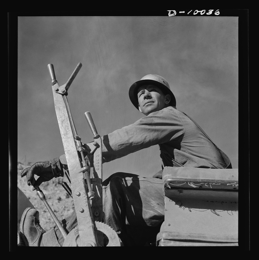
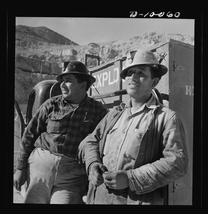
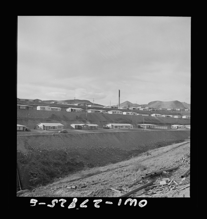
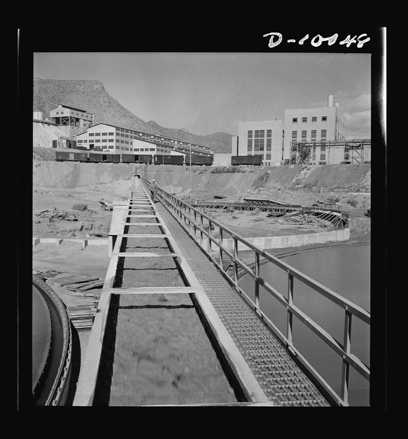
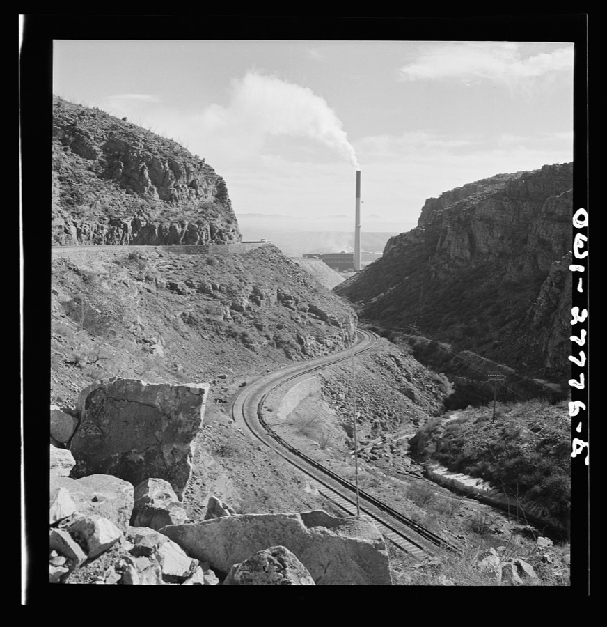
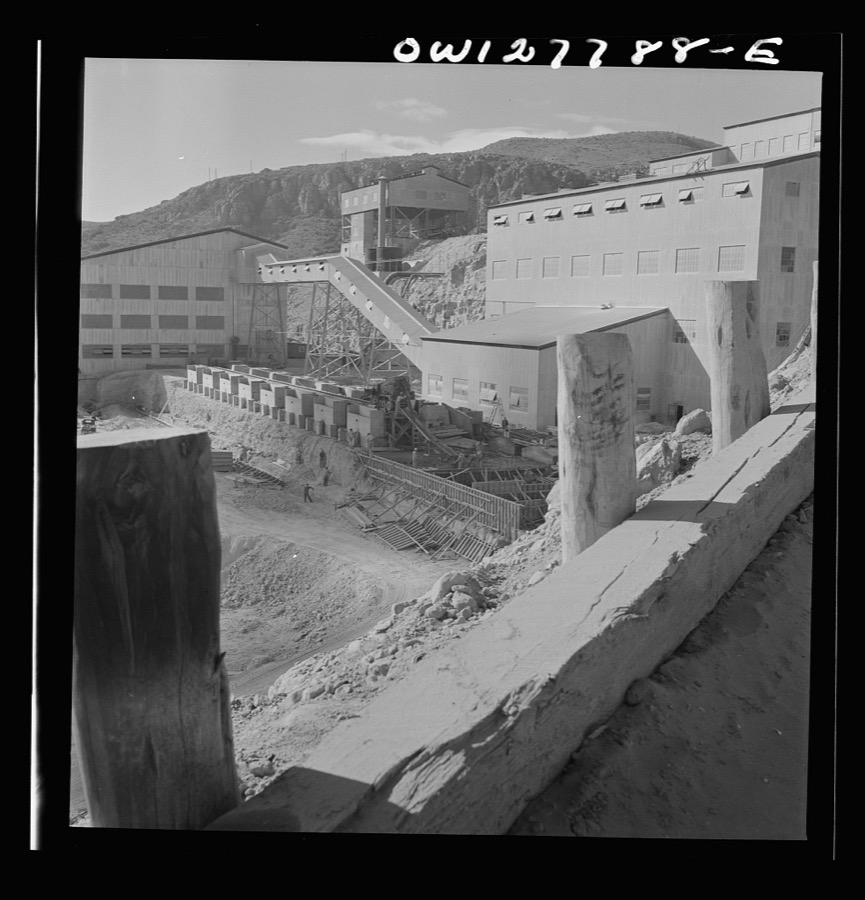
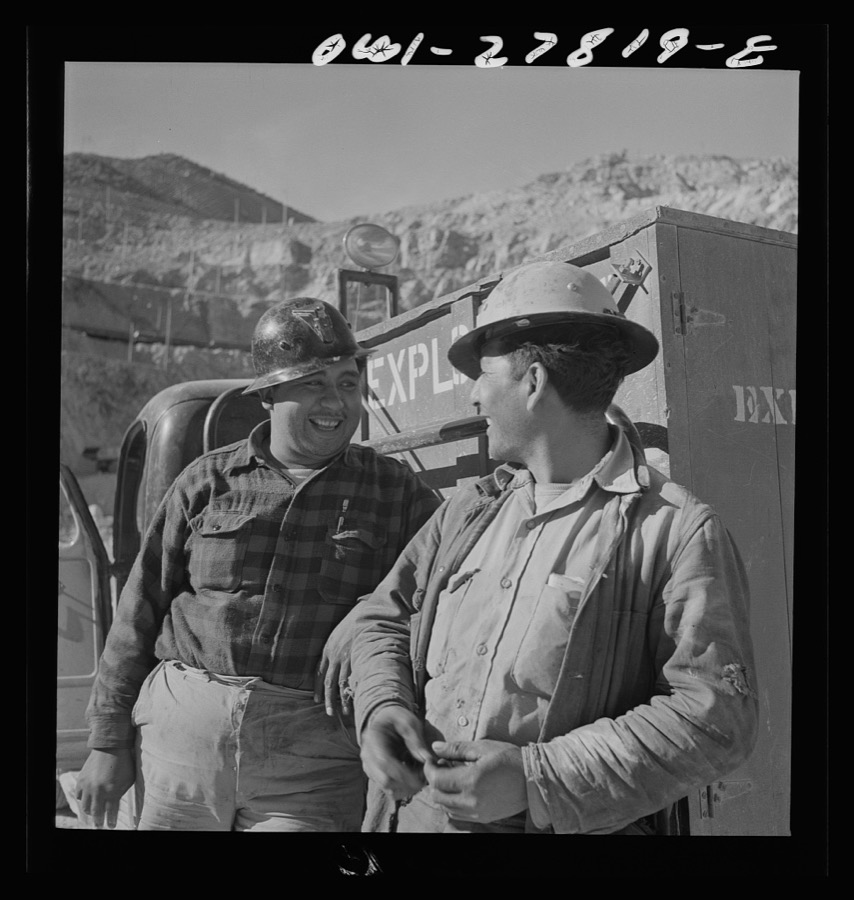
Taken for the Office of War Information and the Farm Security Administration, who photographed the country between 1935 and 1944. Works of United States government photographers, with no known restriction on use. Each opens its catalogue record.
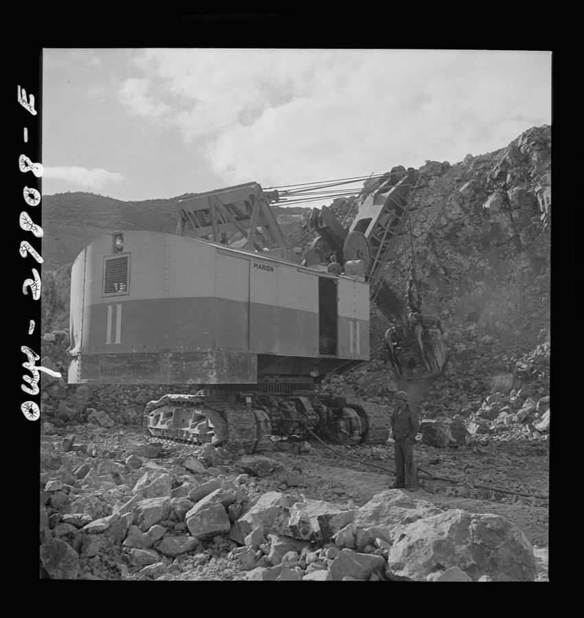
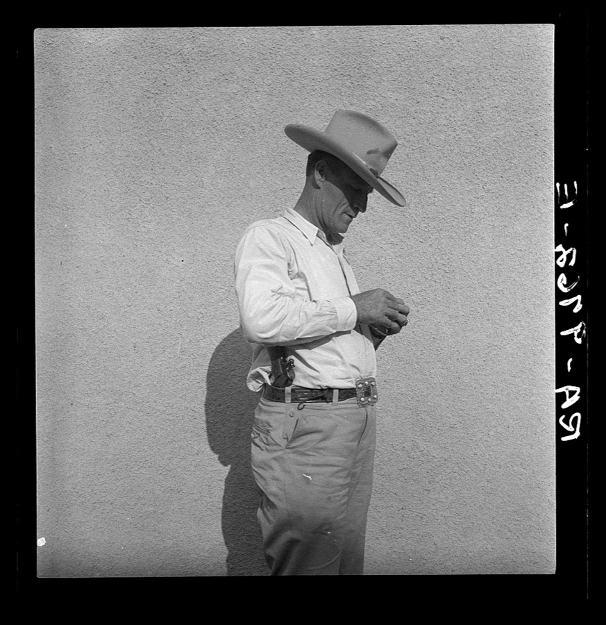
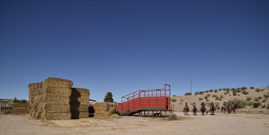
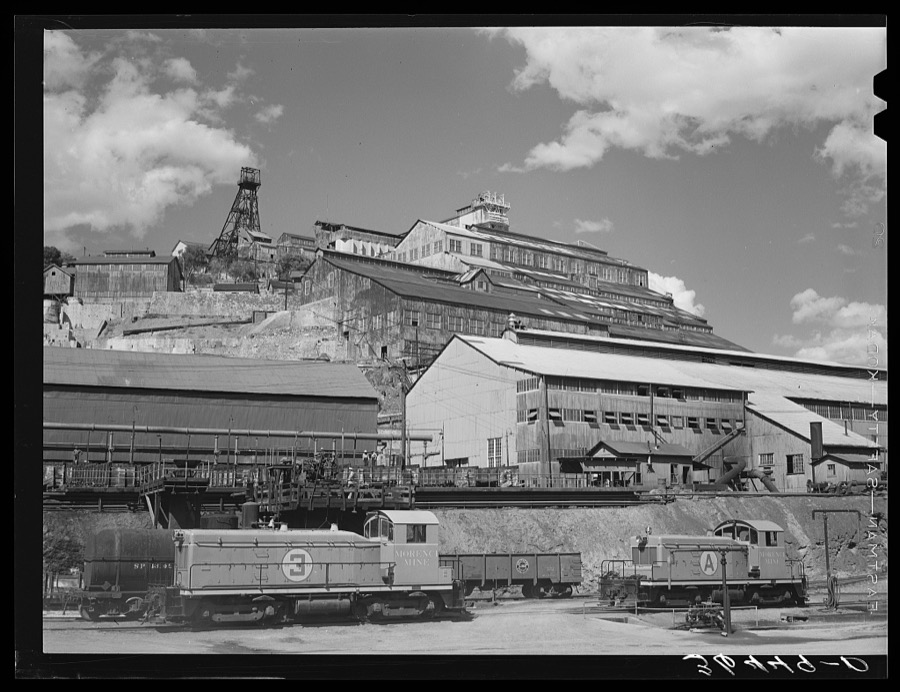
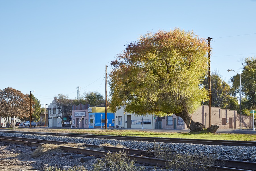
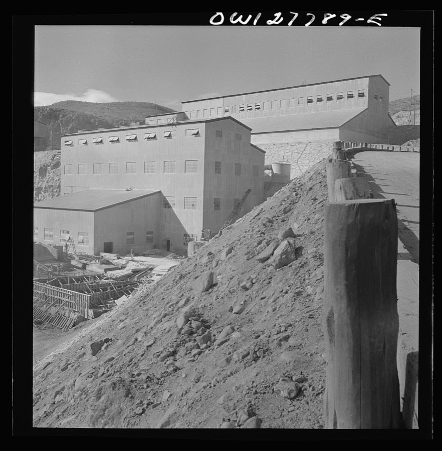
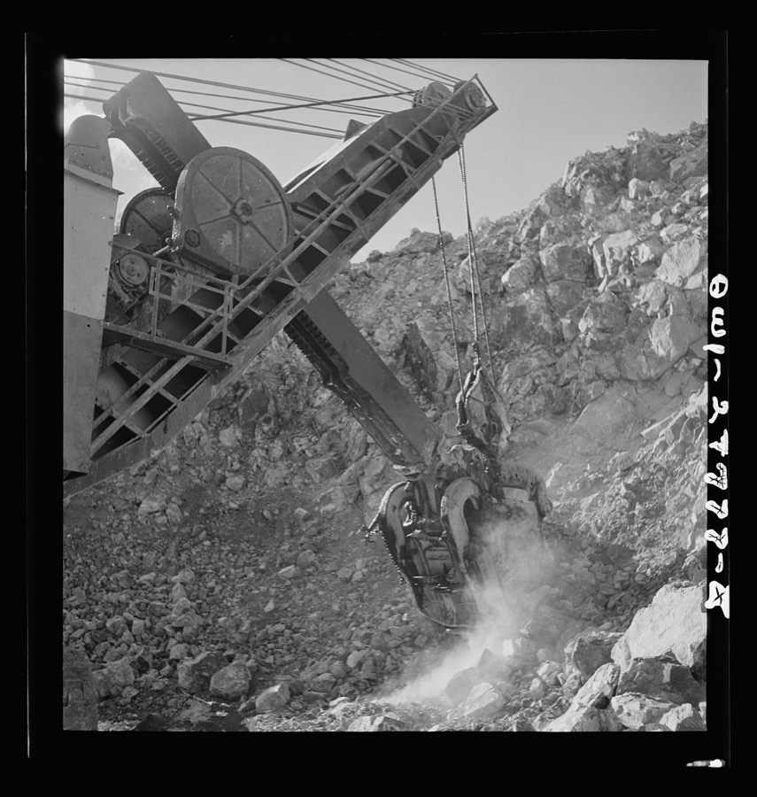
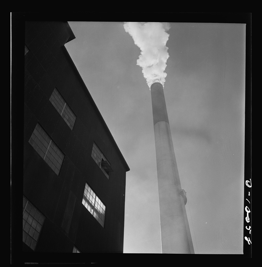
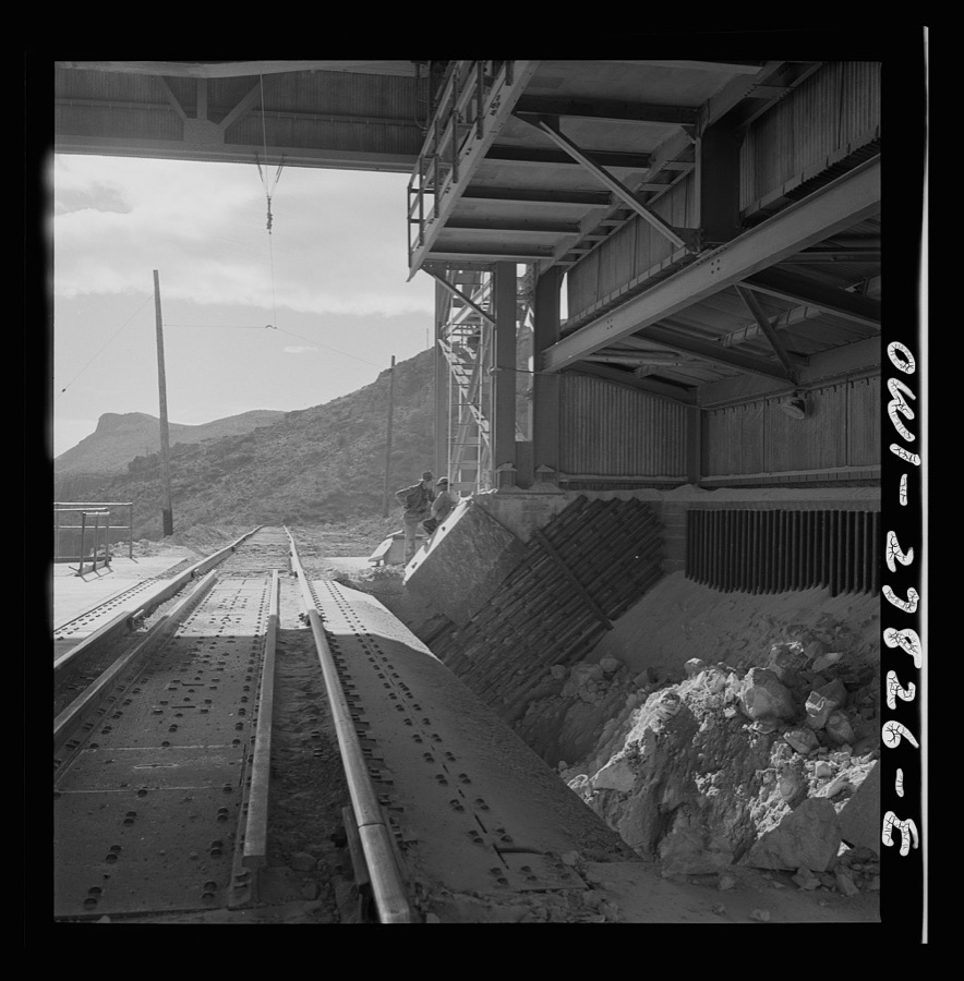
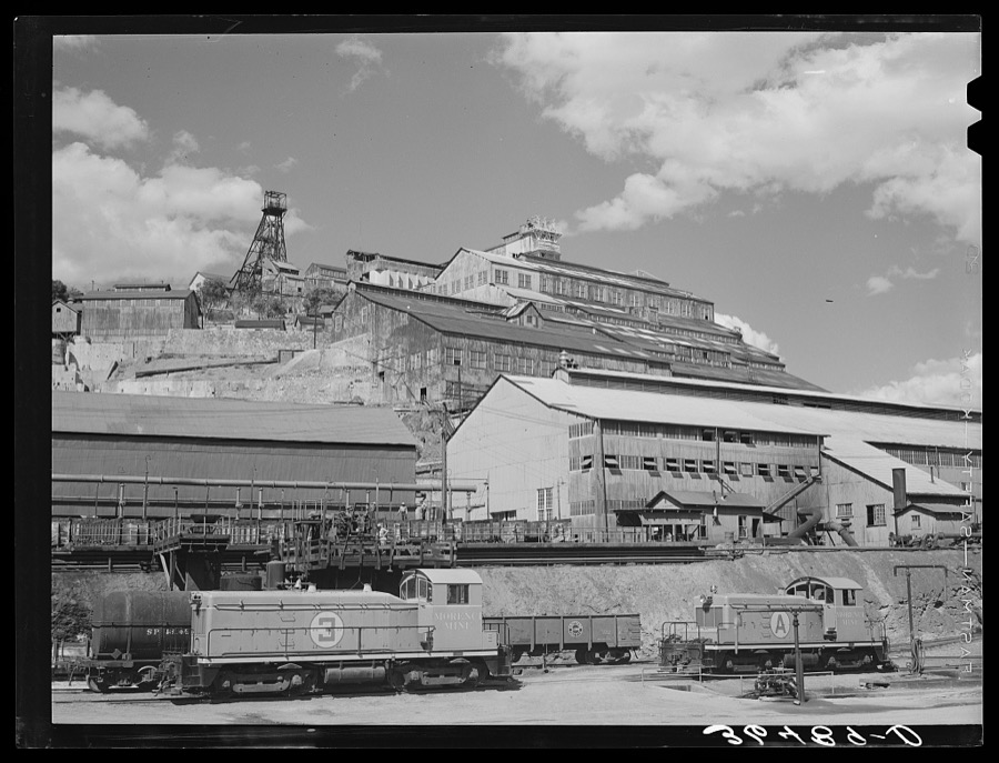
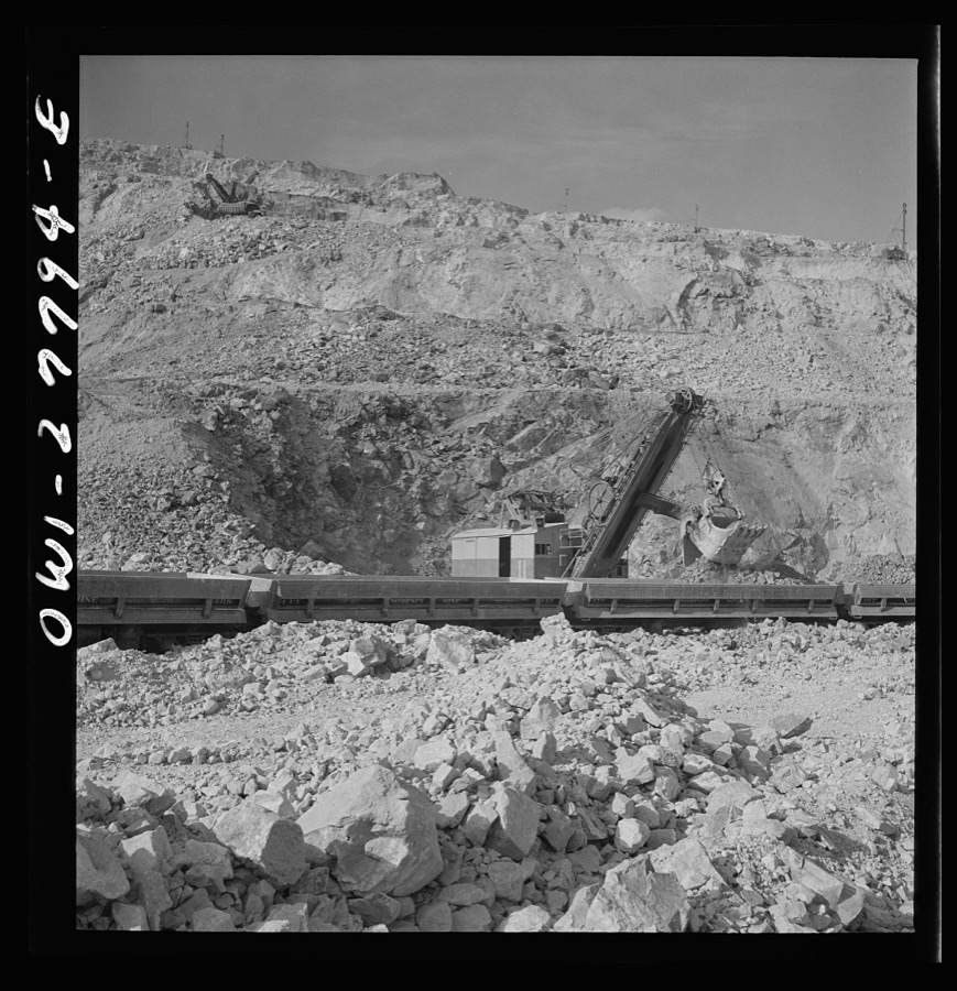
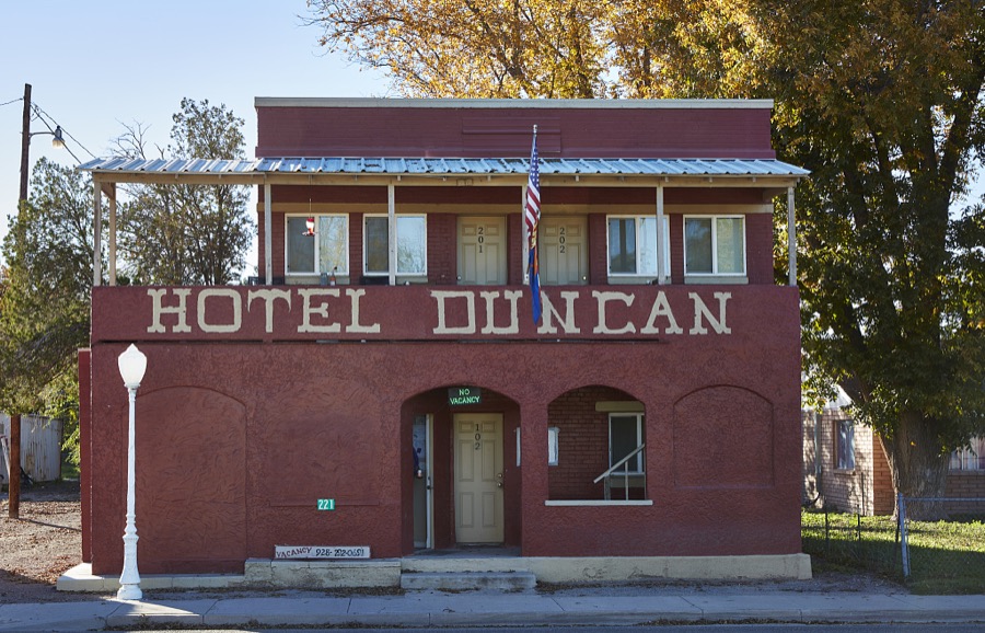
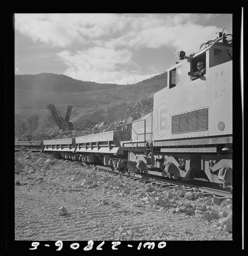
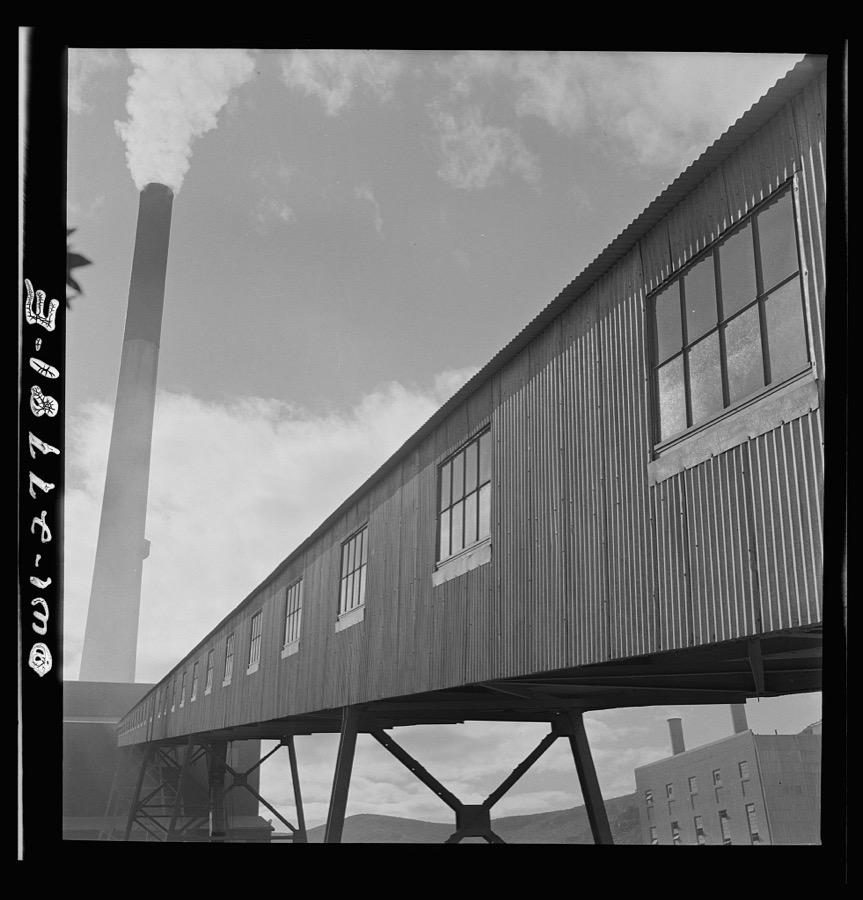
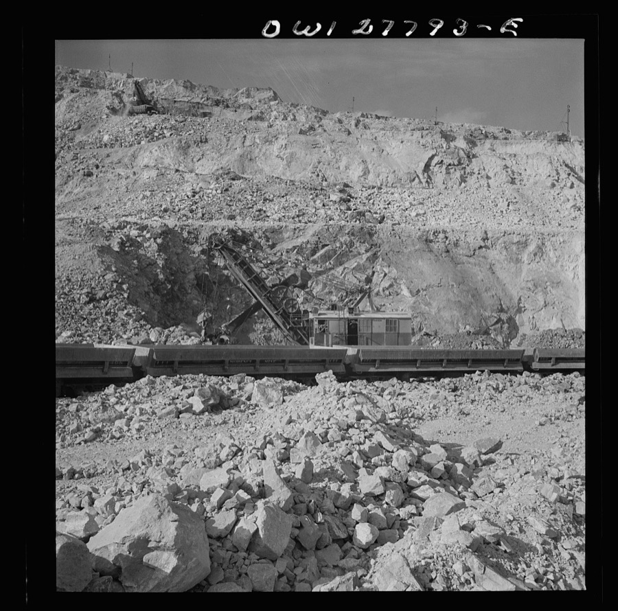
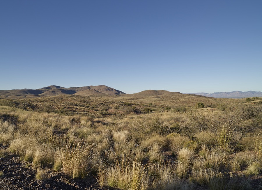
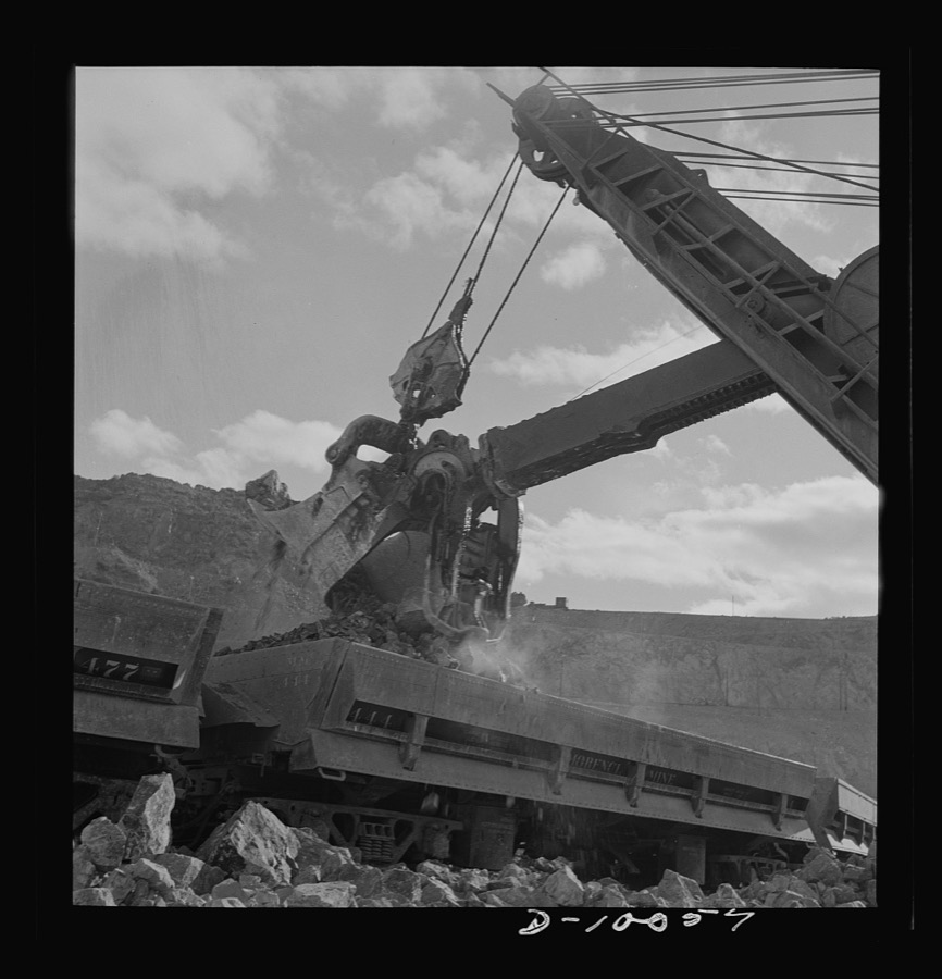
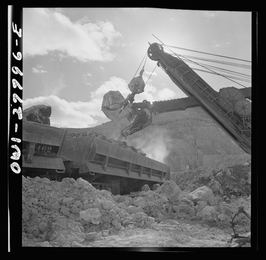
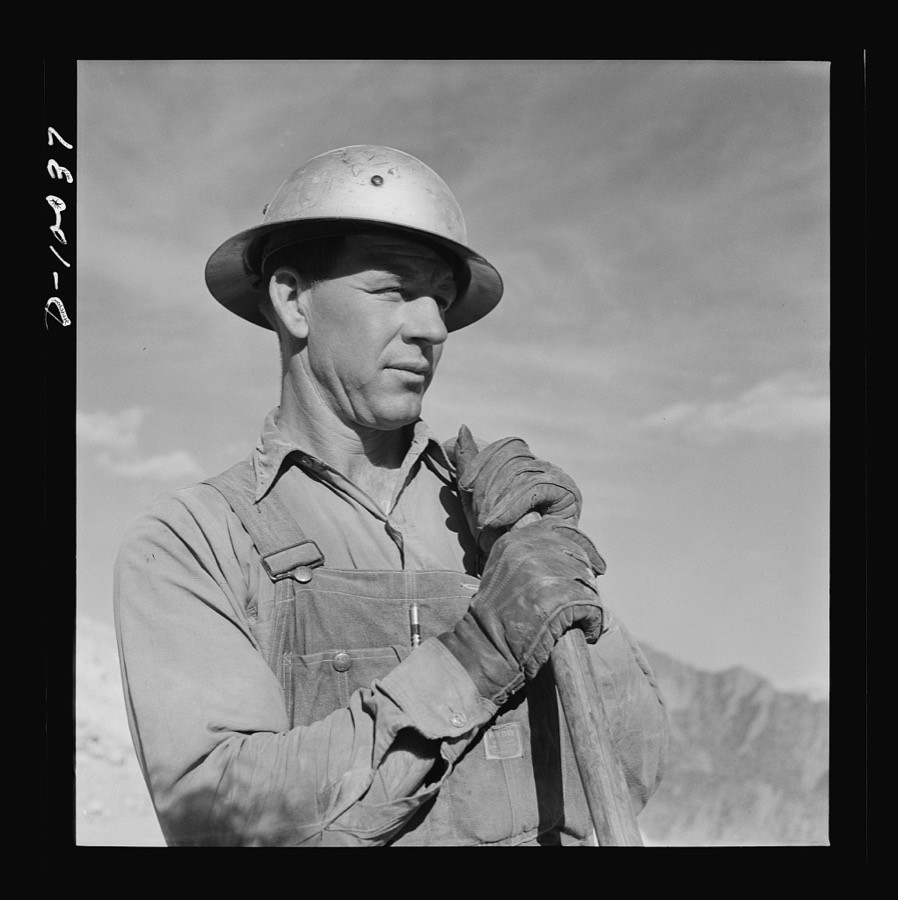
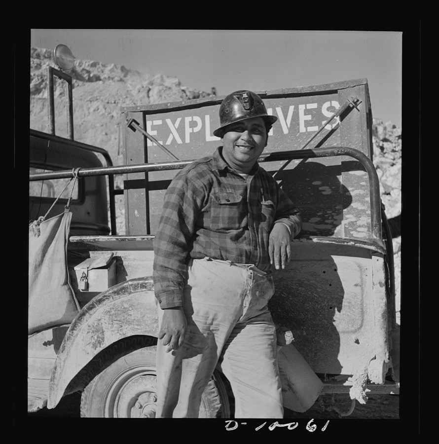
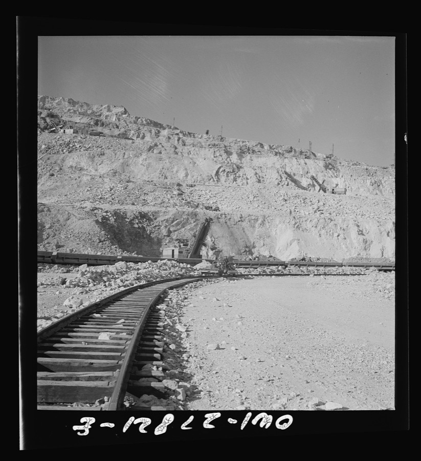
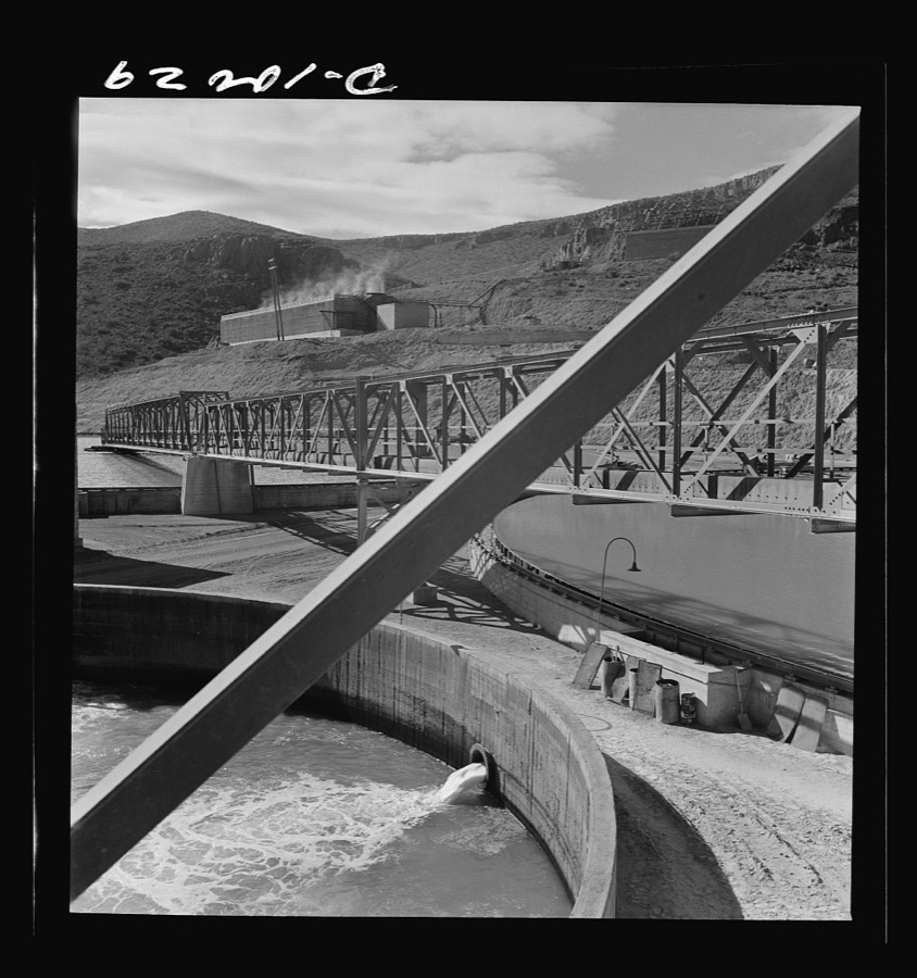
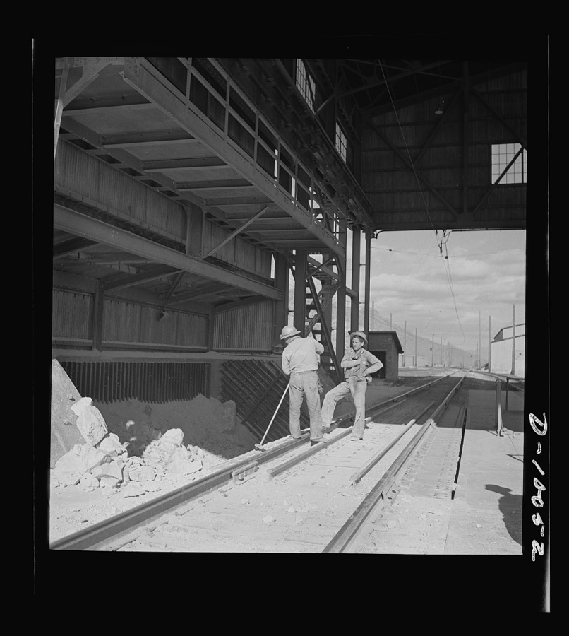
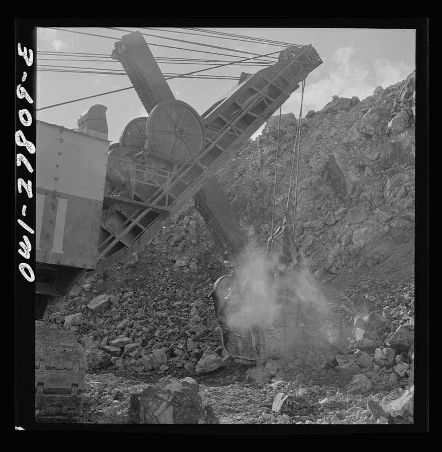
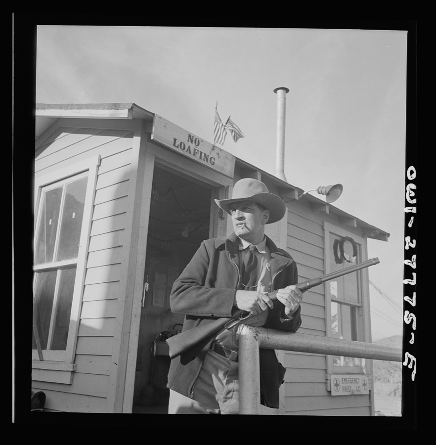
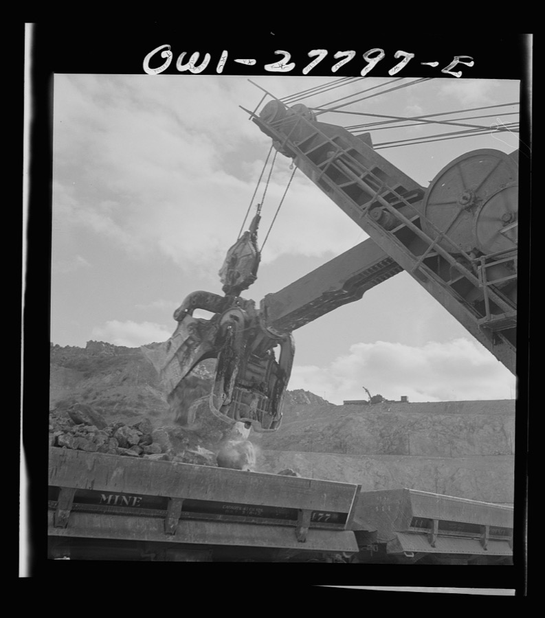
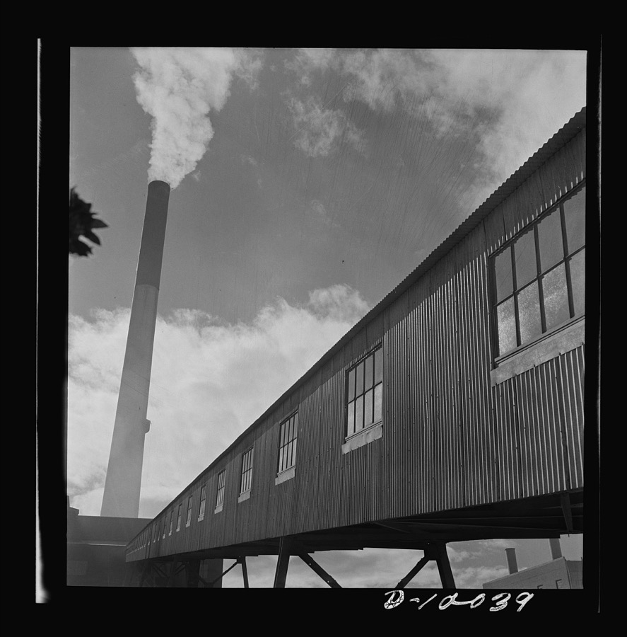
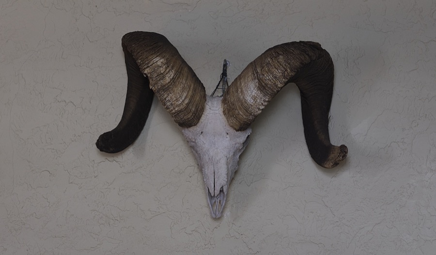
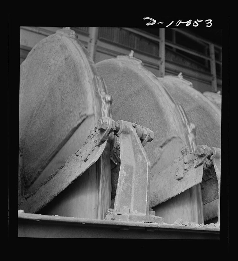
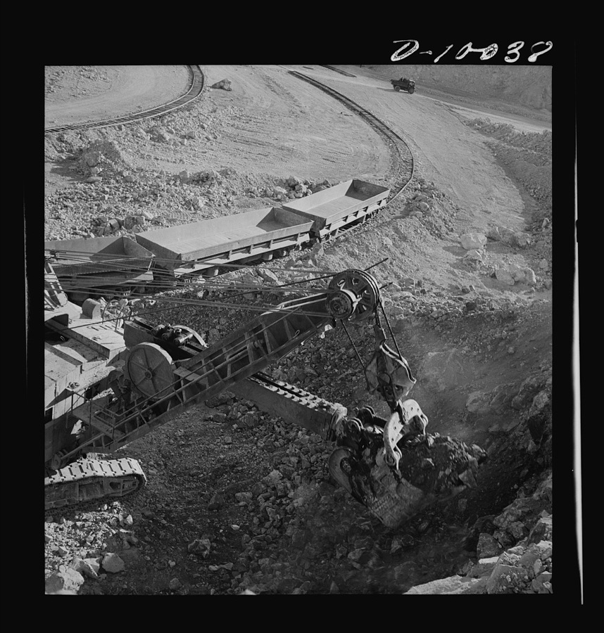
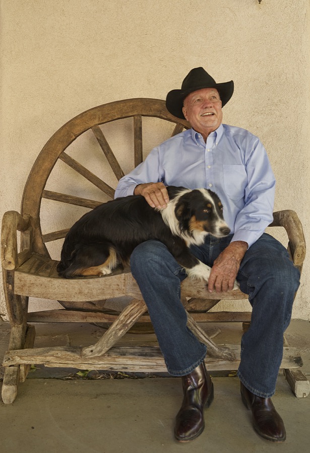
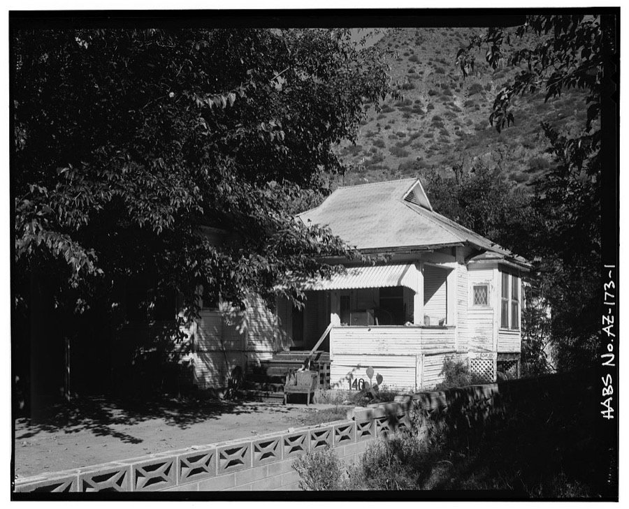
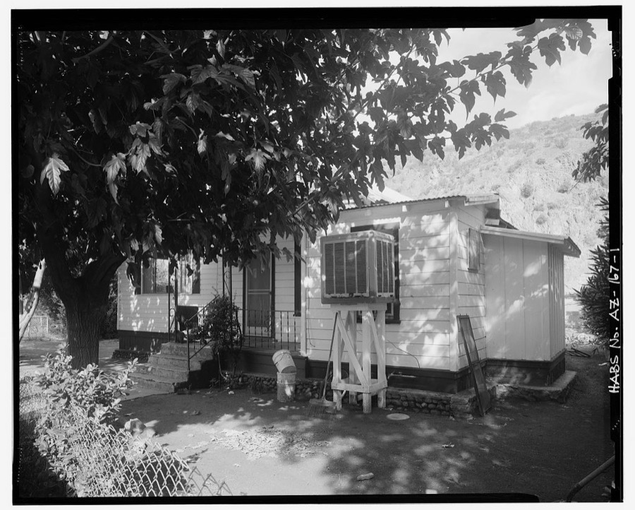
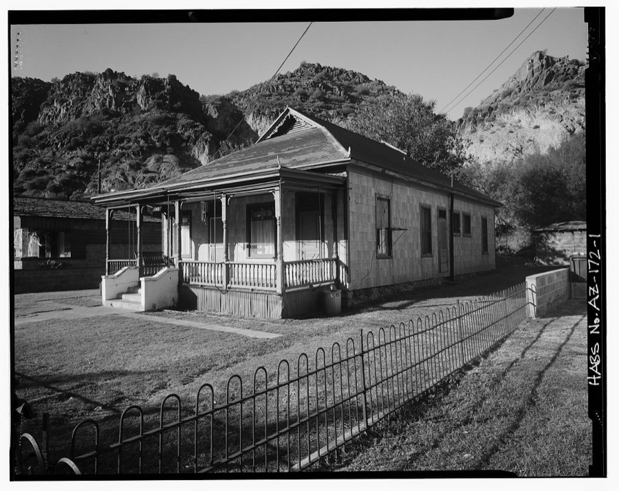
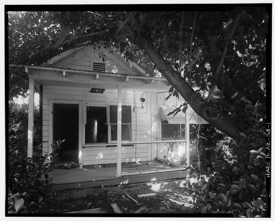
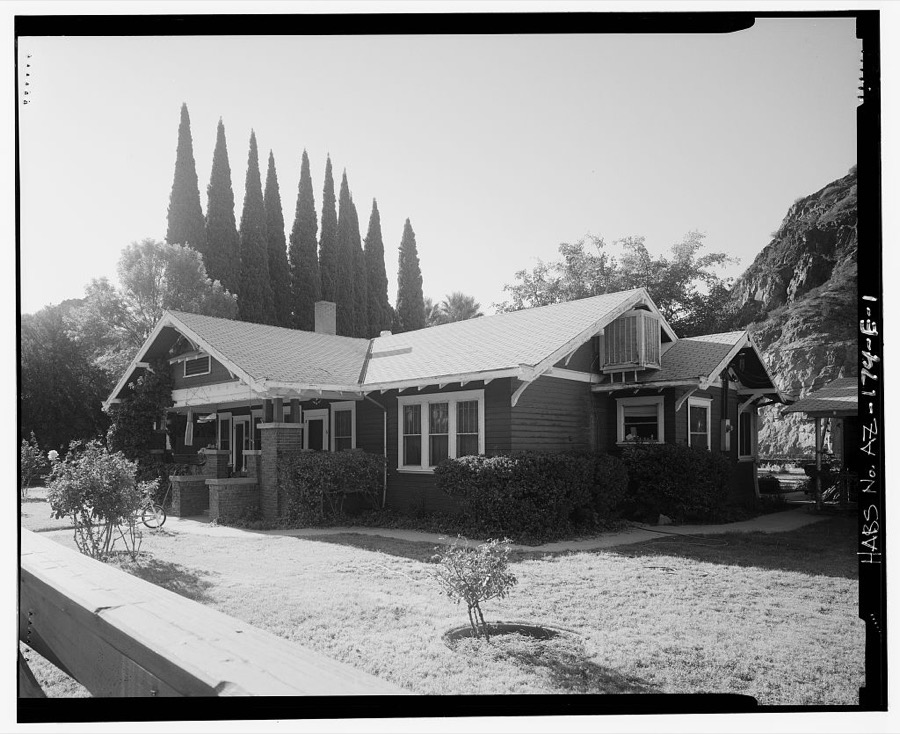
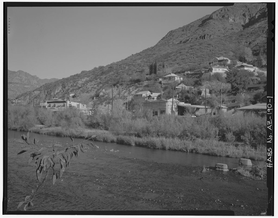
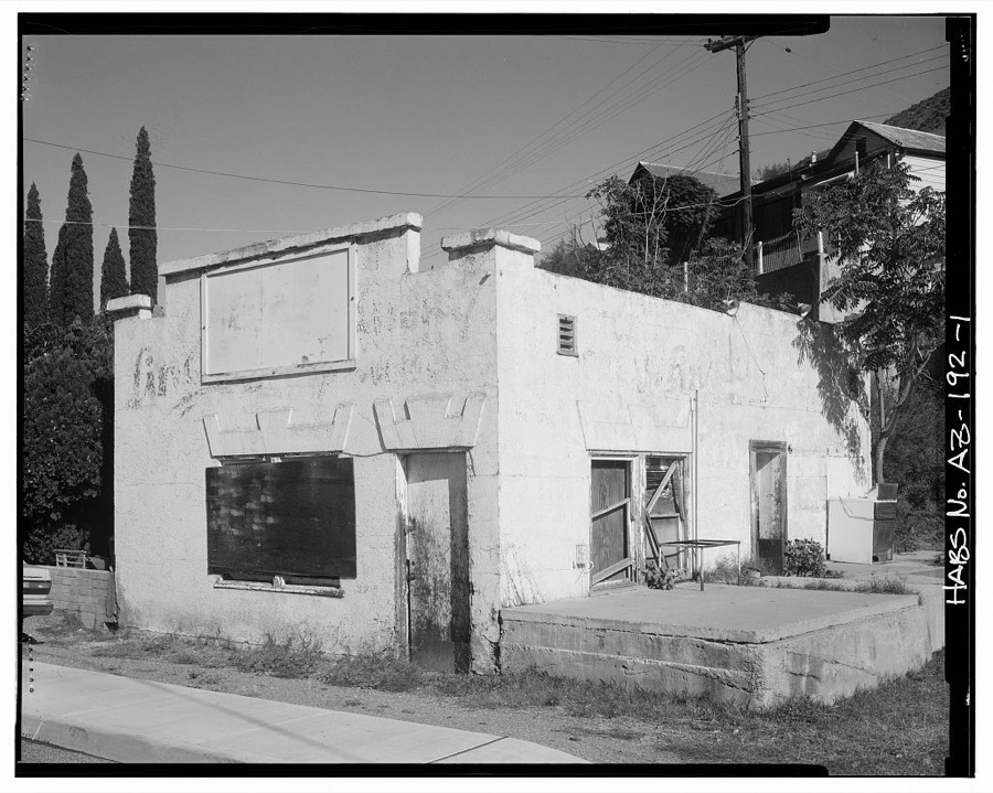
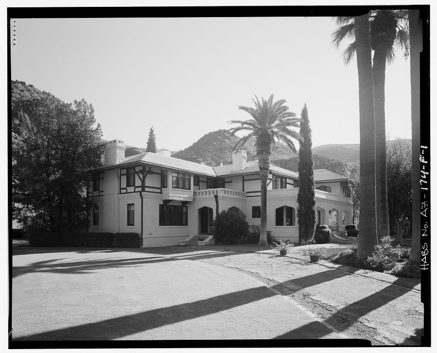
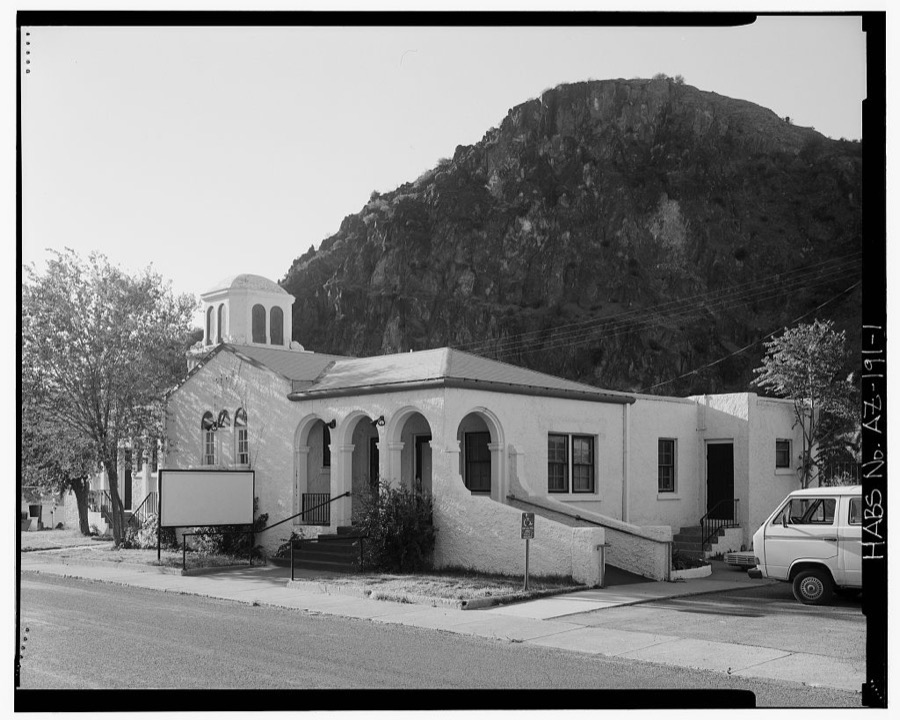
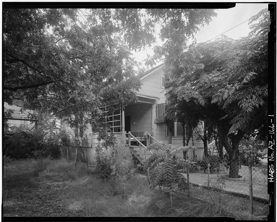
Every property in this county listed on the National Register of Historic Places, with the year it was listed and the federal nomination document.
| Photograph | Property | Type | Listed | Reference |
|---|---|---|---|---|
| Bear Mountain Lookout Complex | structure | 1988 | 87002452 | |
 | Benjamin F. Billingsley House | building | 1983 | 83002998 |
 | Black Gap Bridge | structure | 1988 | 88001627 |
| Clifton Casa Grande Building | building | 1979 | 79003445 | |
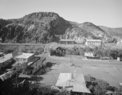 | Clifton Townsite Historic District | district | 1990 | 90000339 |
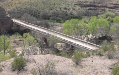 | Gila River Bridge | structure | 1988 | 88001628 |
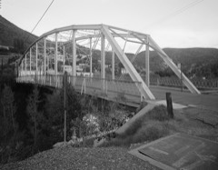 | Park Avenue Bridge | structure | 1988 | 88001661 |
| Dell Potter Ranch House | building | 1977 | 77000236 | |
| Solomonville Road Overpass | structure | 1988 | 88001626 | |
| Solomonville Road Overpass | structure | 1988 | 88001625 |
Sampled issues, machine-read from the Library of Congress scan and published page by page, so every headline and column is searchable text.
Clifton, Graham County, A.T., Ariz., 1883 to 1889. Machine-read from the Library of Congress scan.
Clifton, Ariz., 1911 to 1929. Machine-read from the Library of Congress scan.
Duncan, Greenlee County, Ariz., 1908 to 1915. Machine-read from the Library of Congress scan.
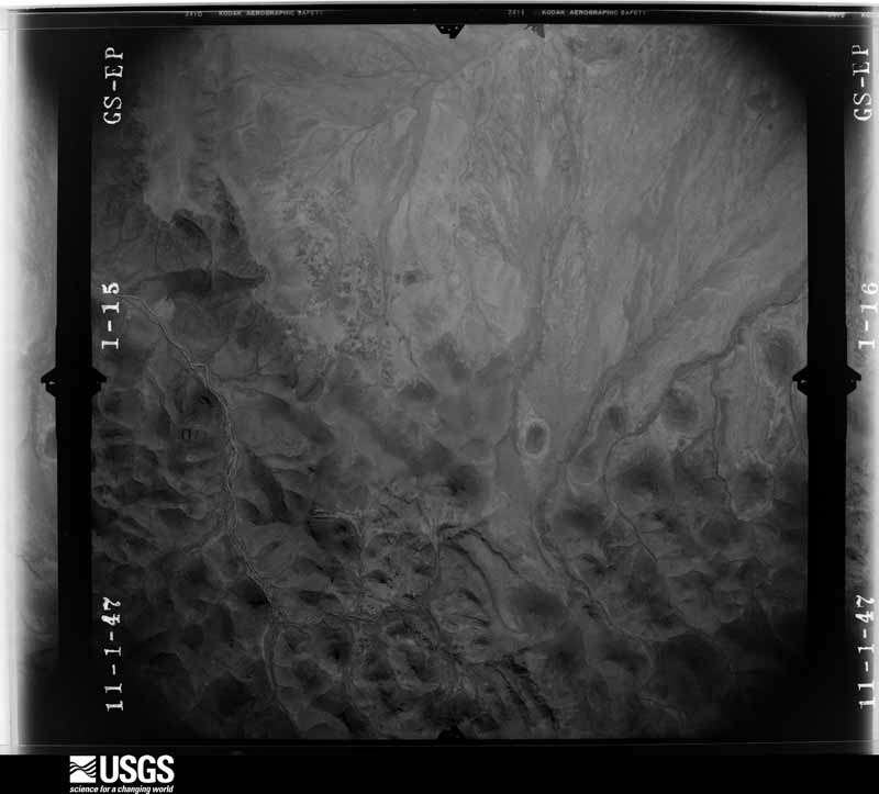
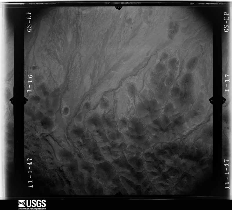
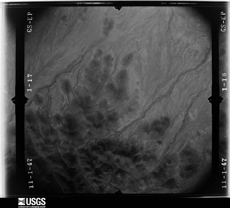
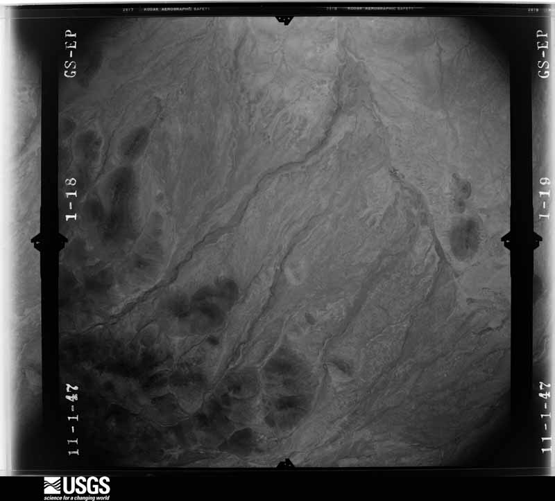
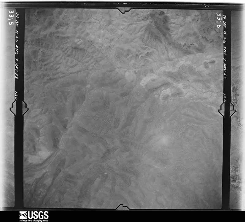
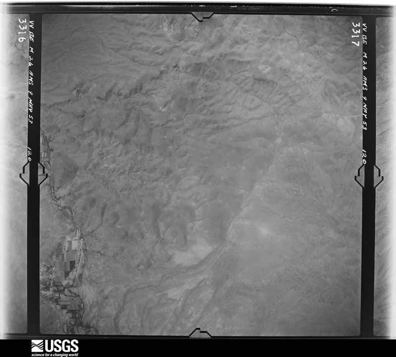
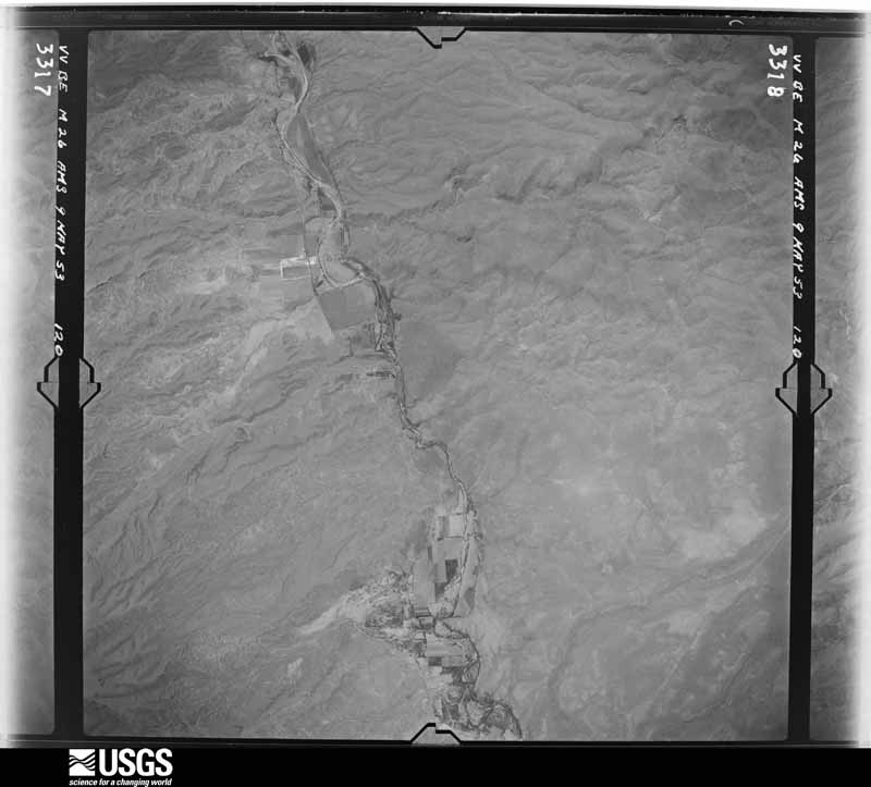
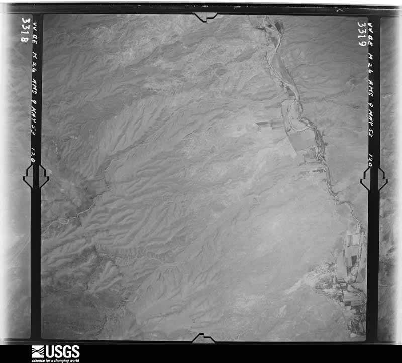
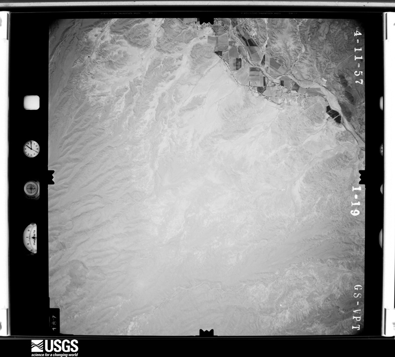
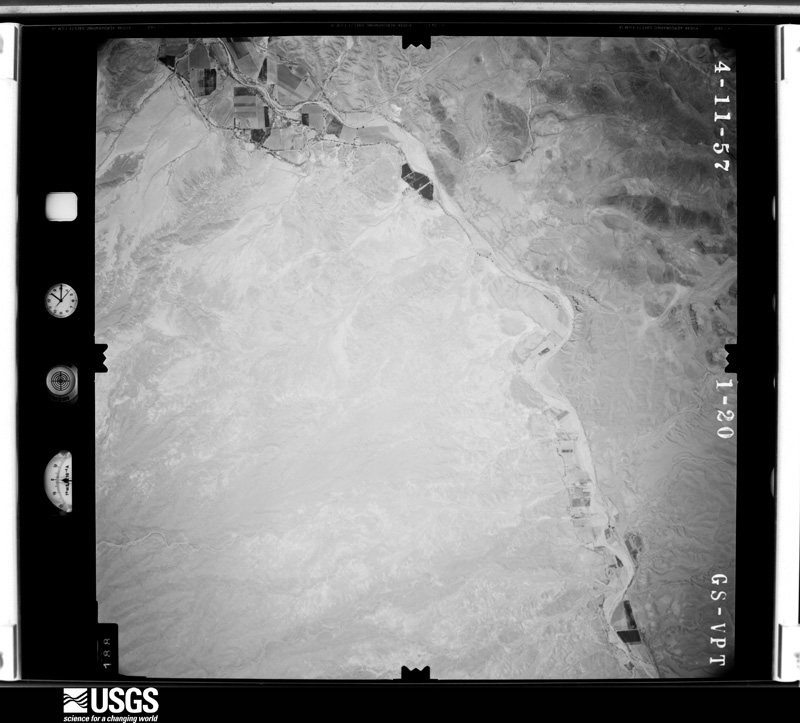
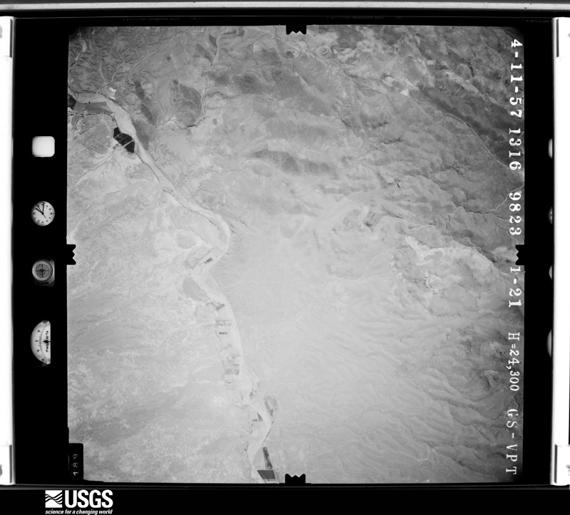
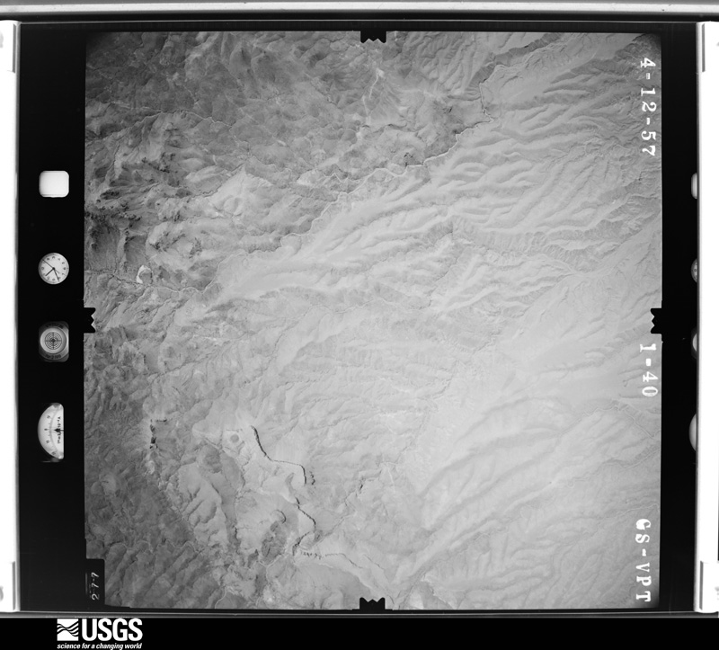
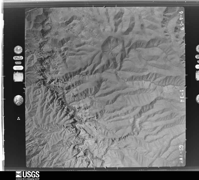
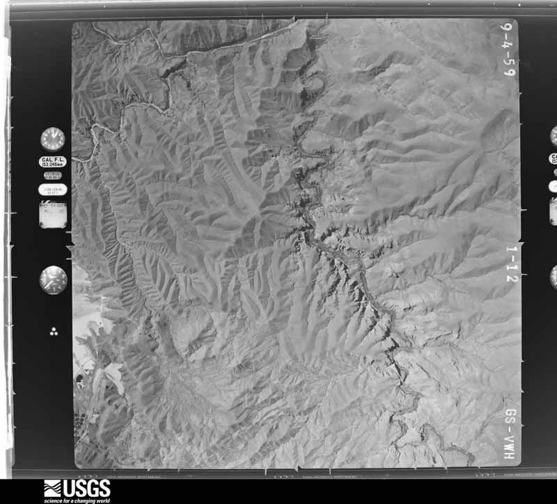
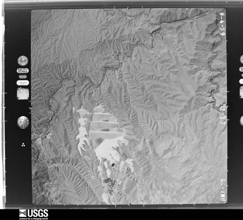
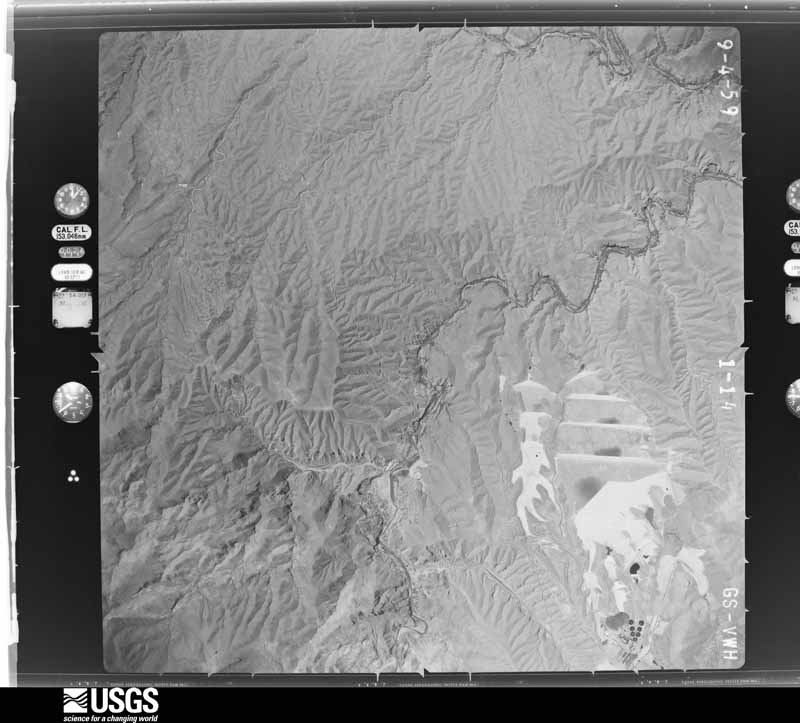
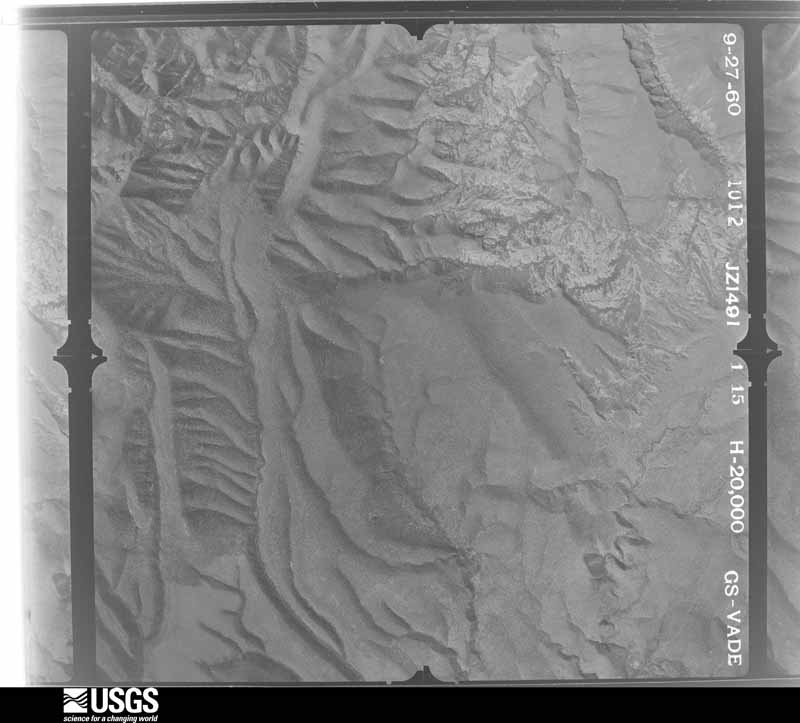
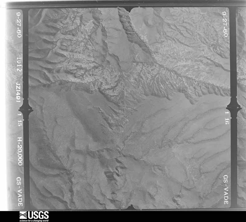
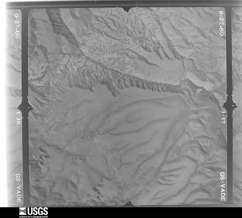
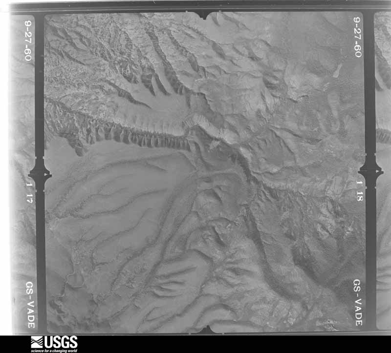
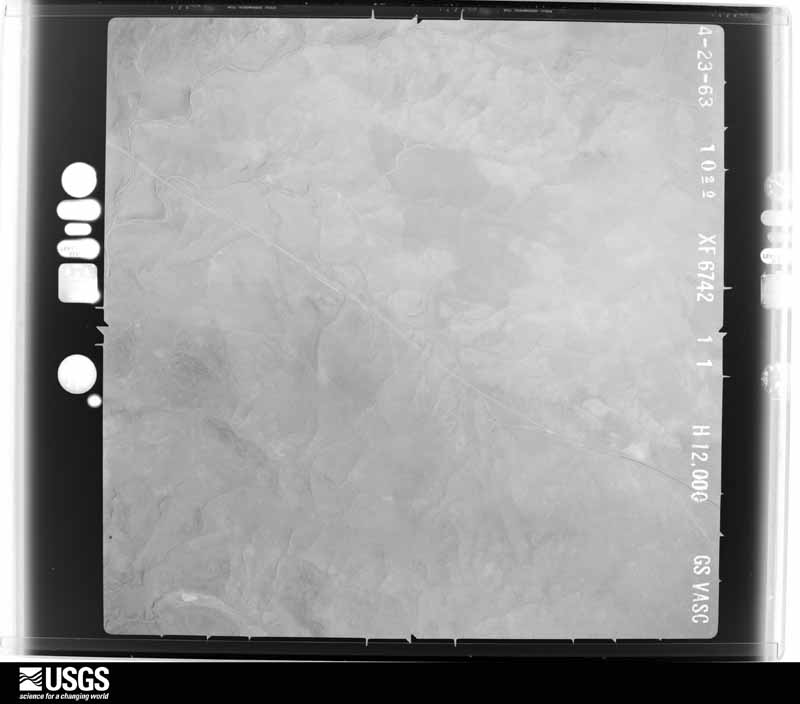
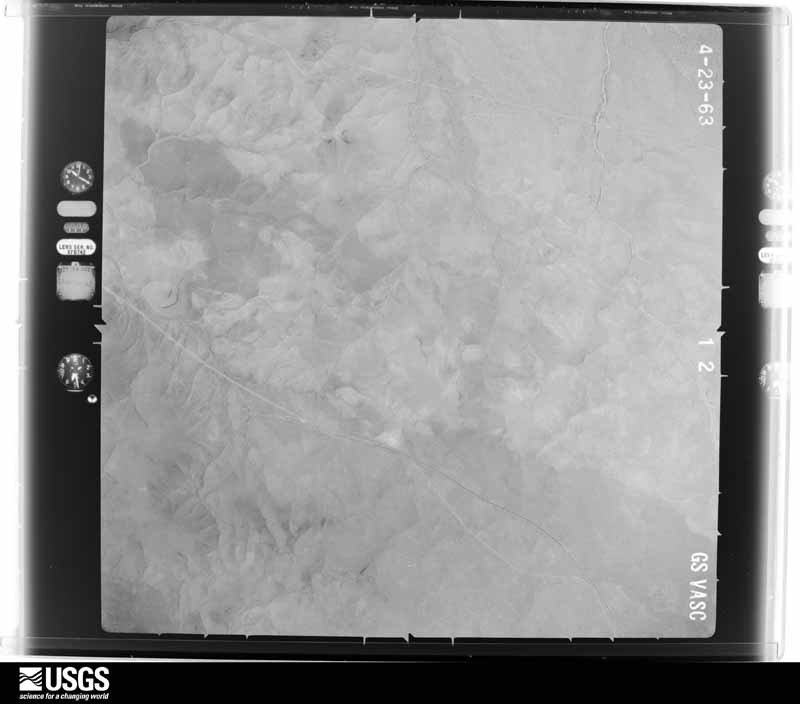
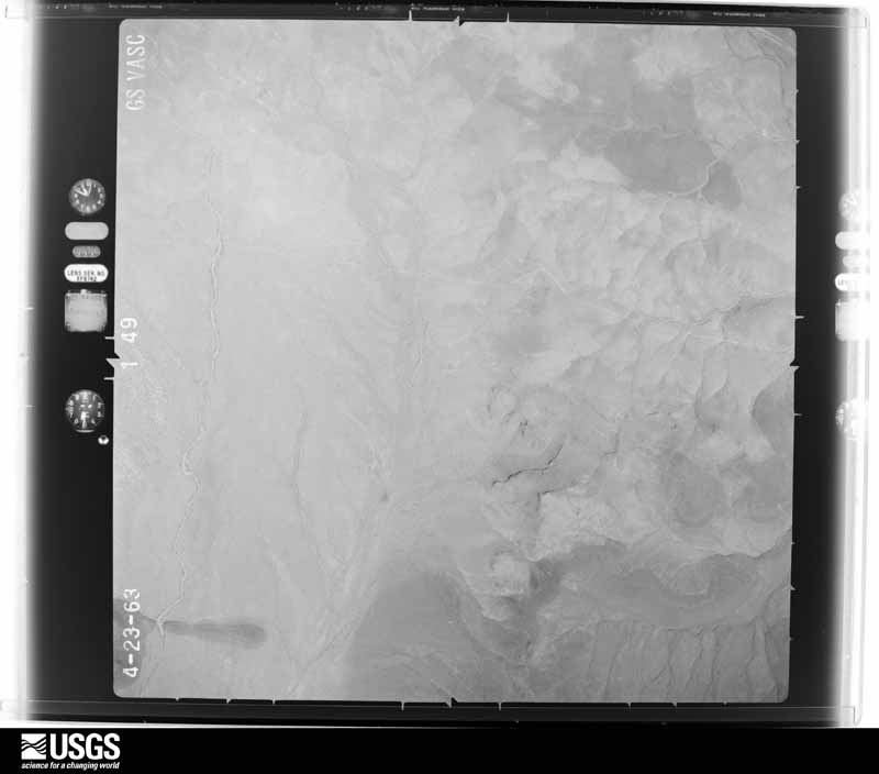
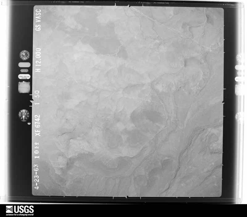
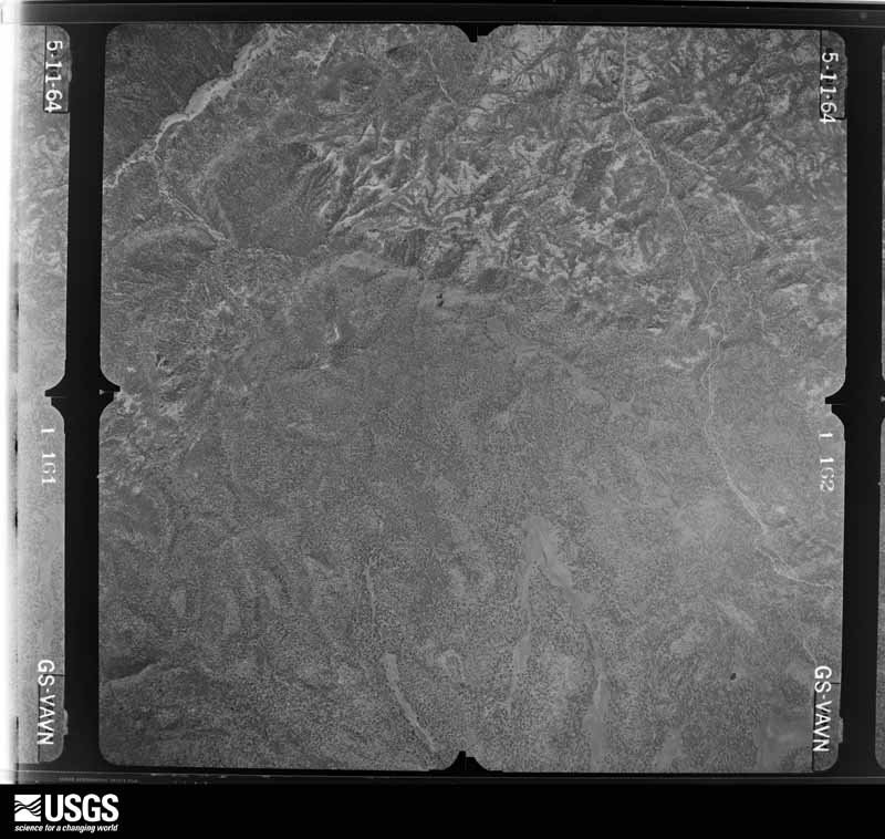
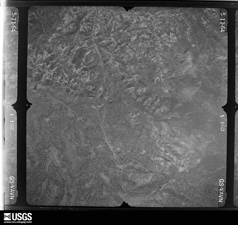
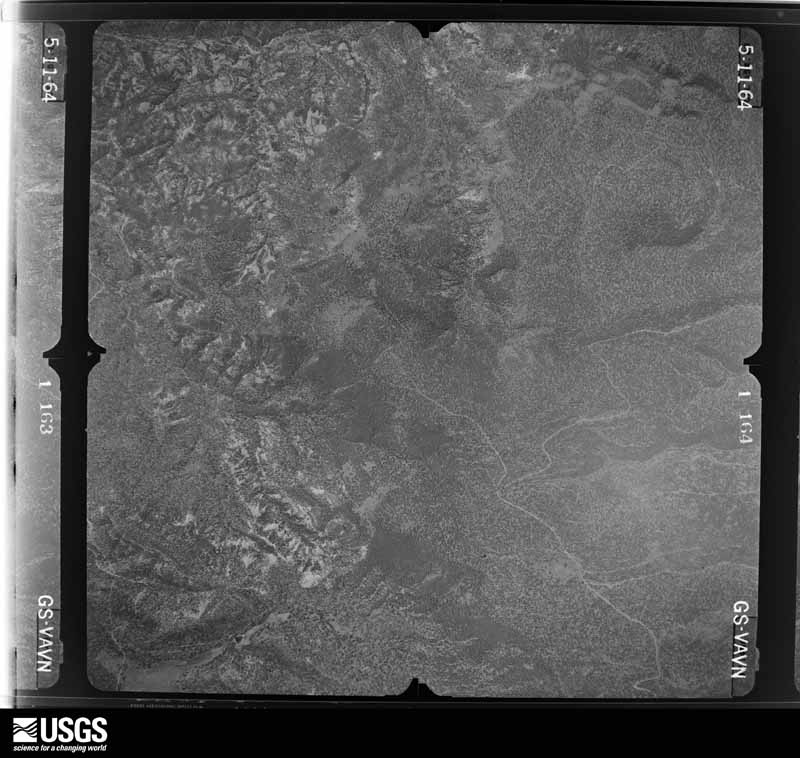
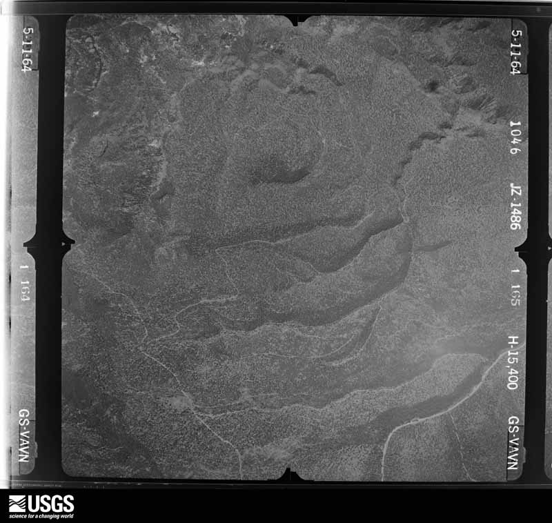
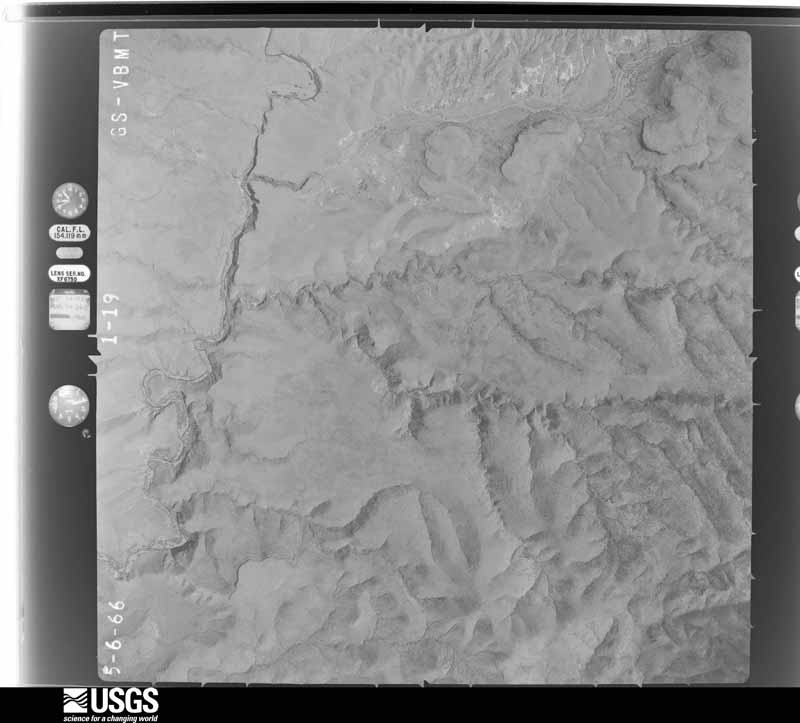
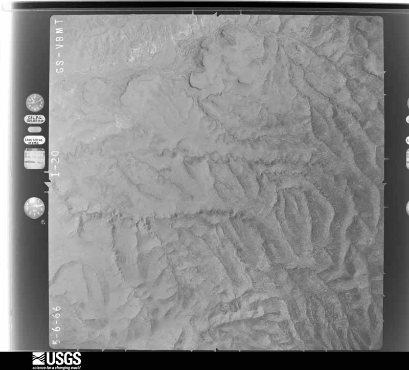
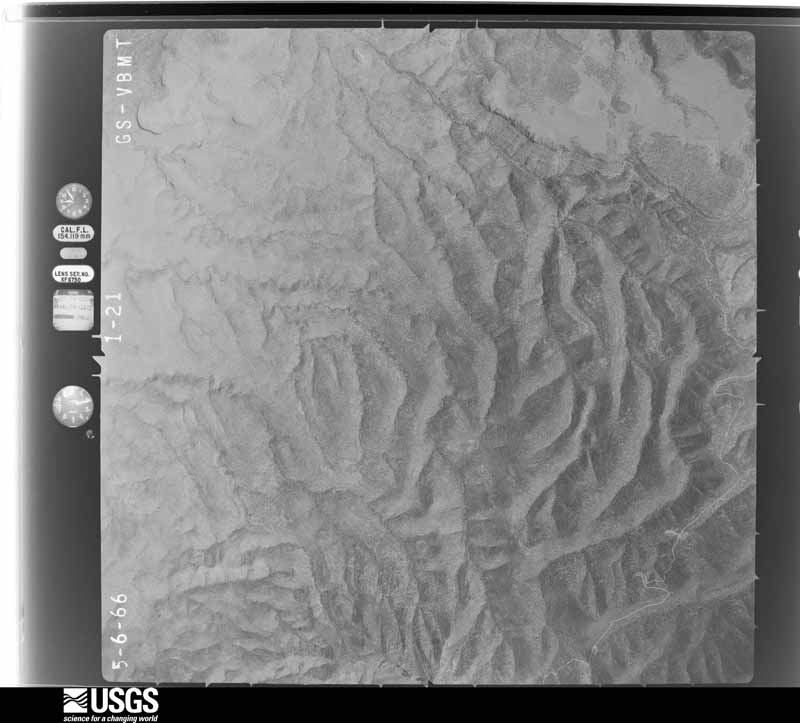
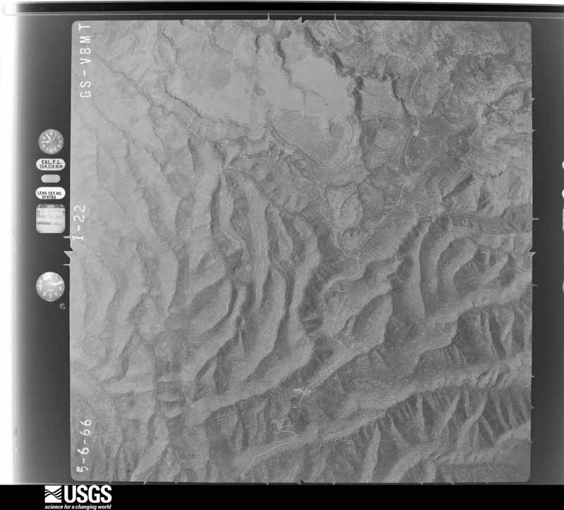
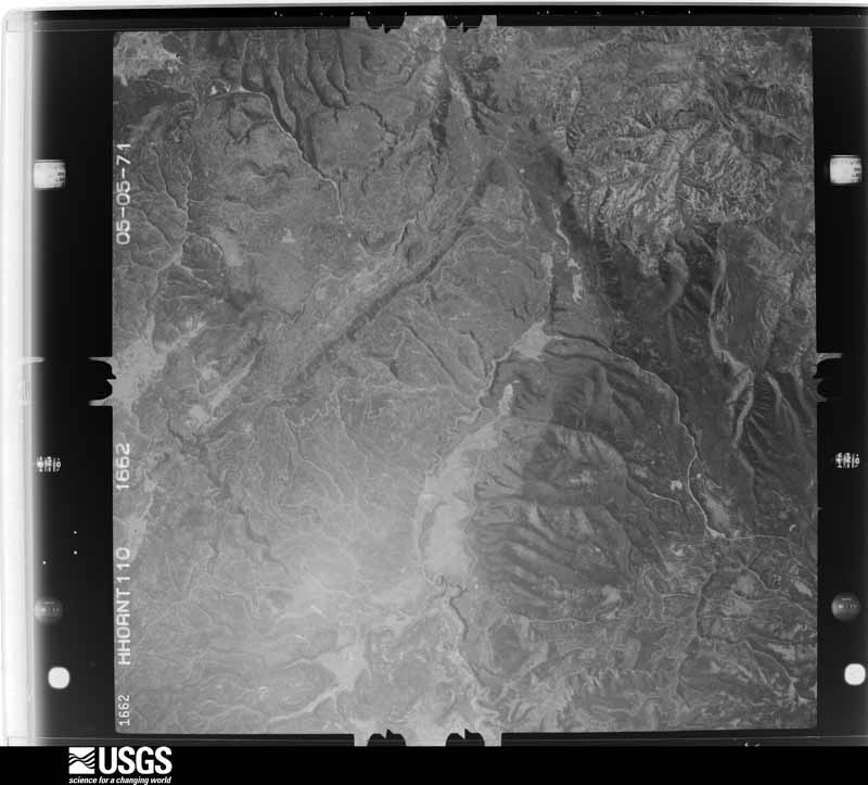
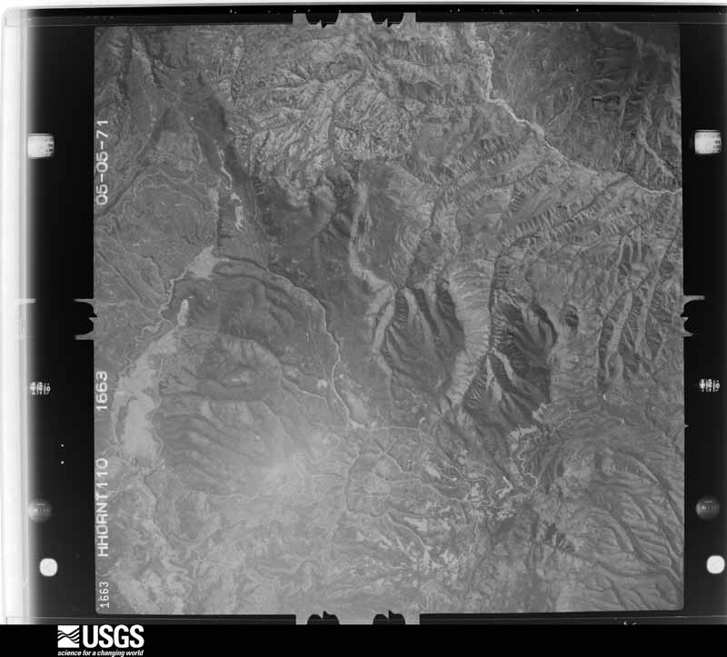
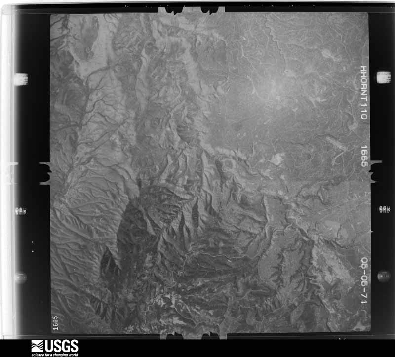
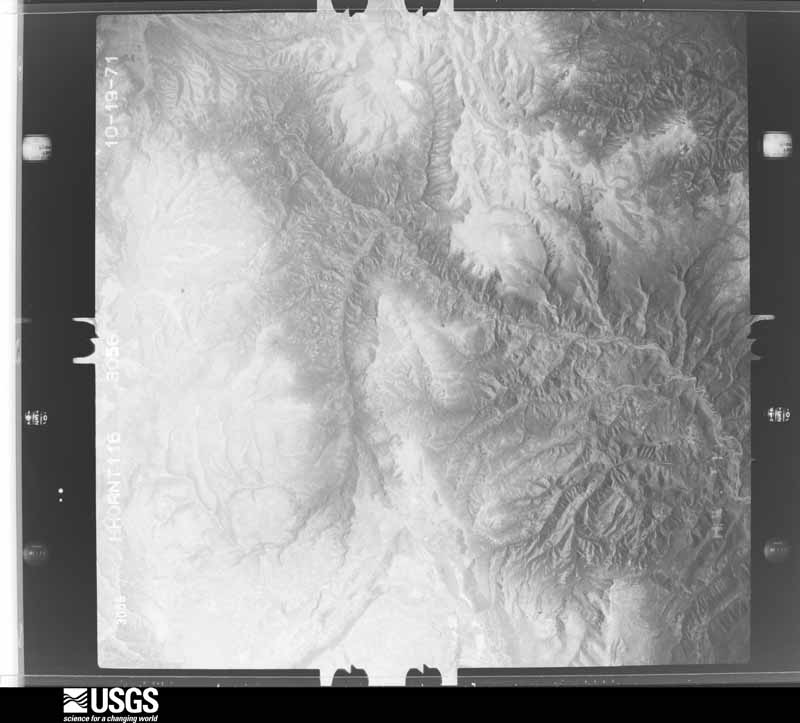
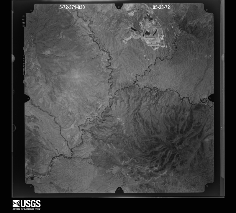
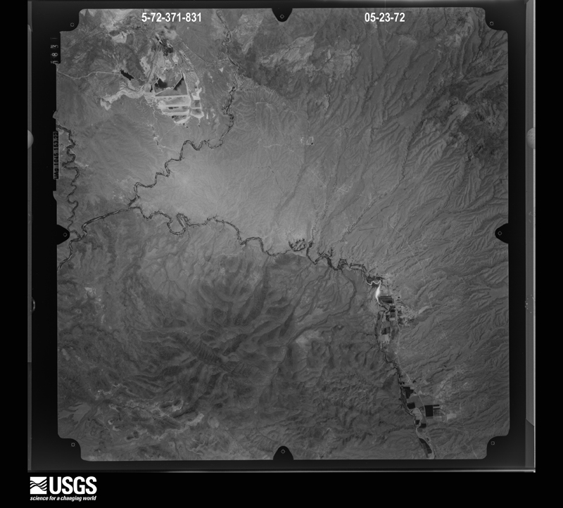
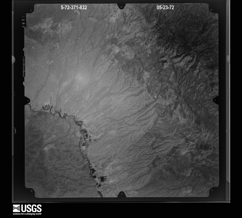
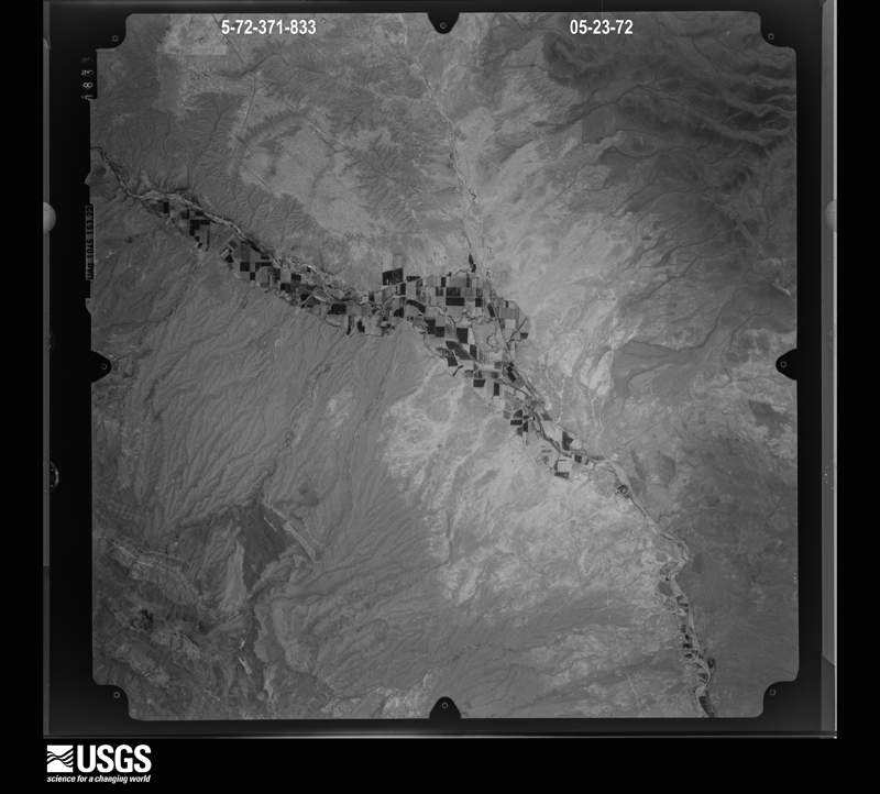
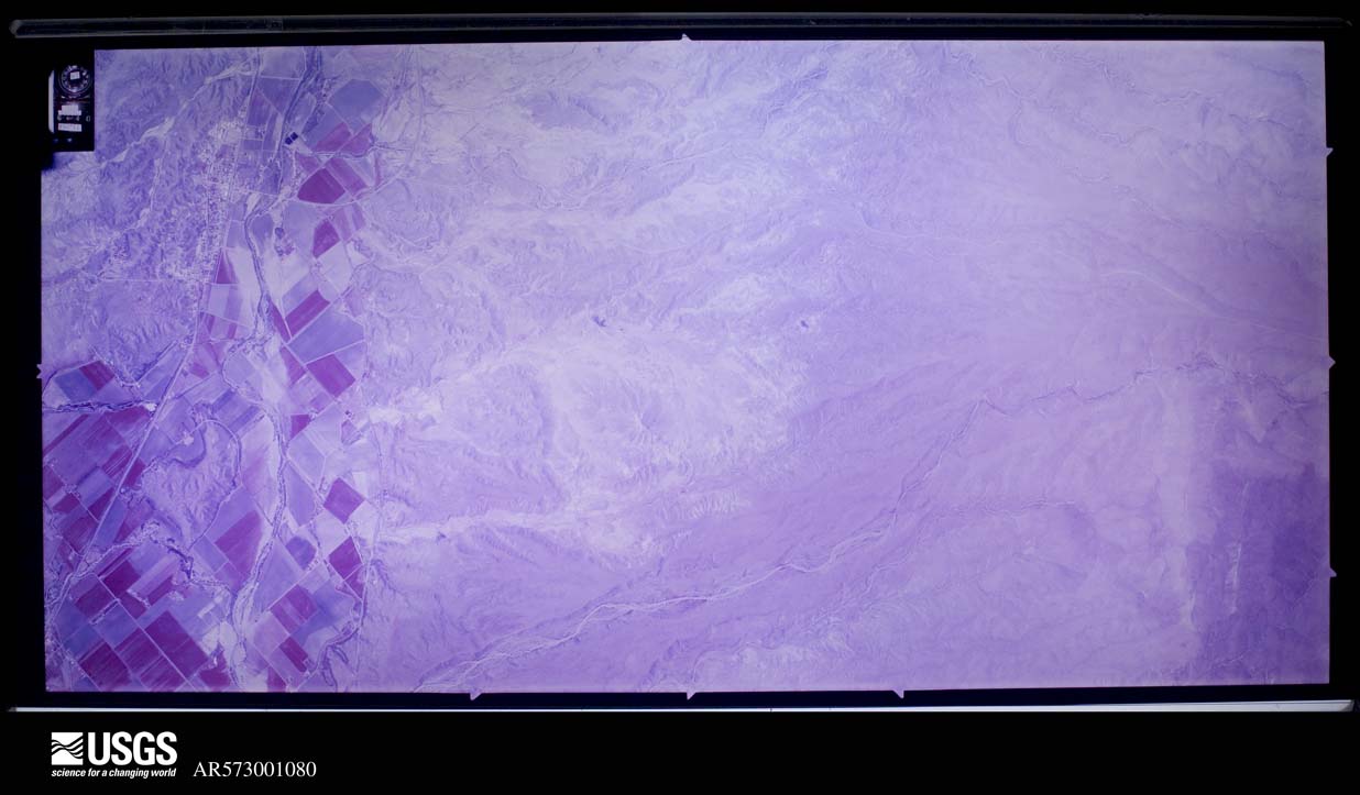
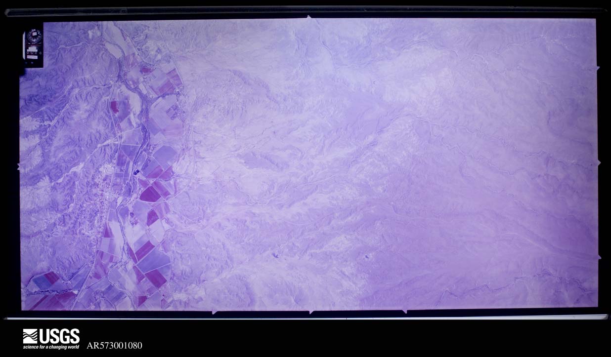
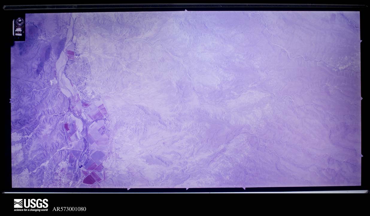
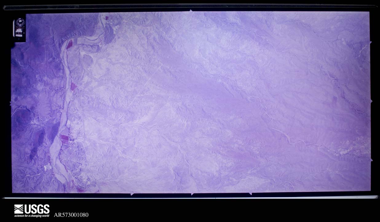
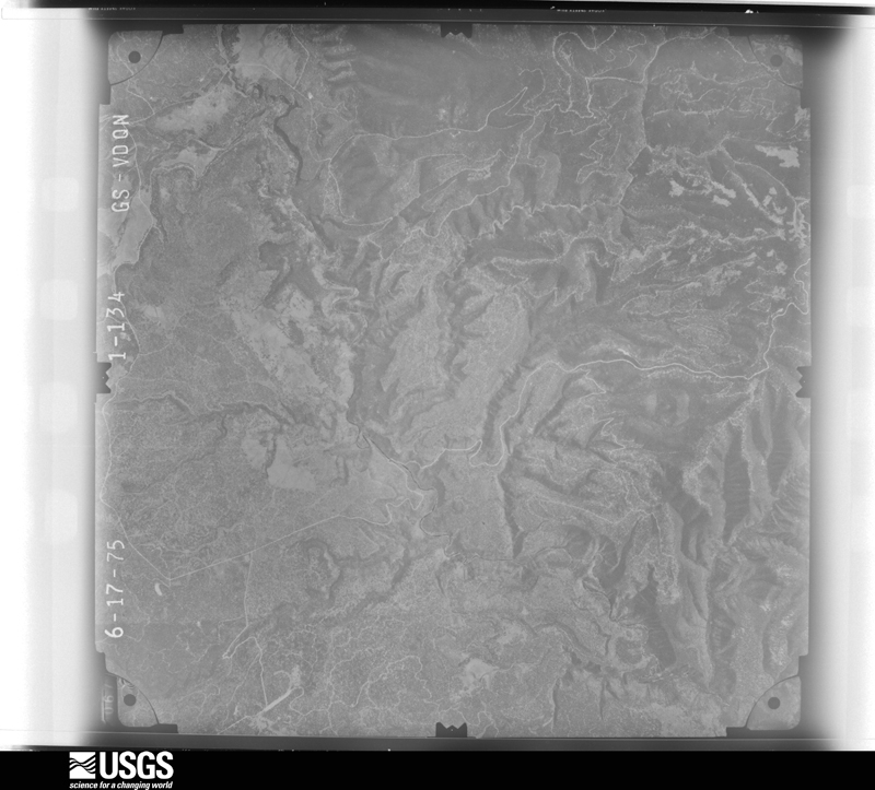
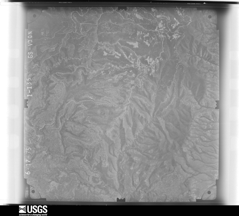
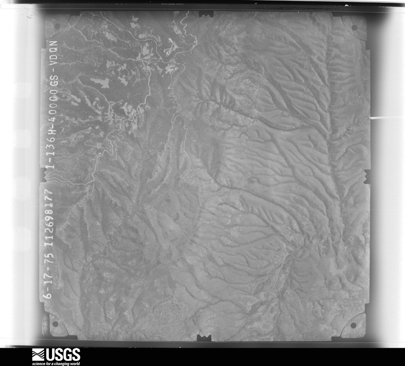
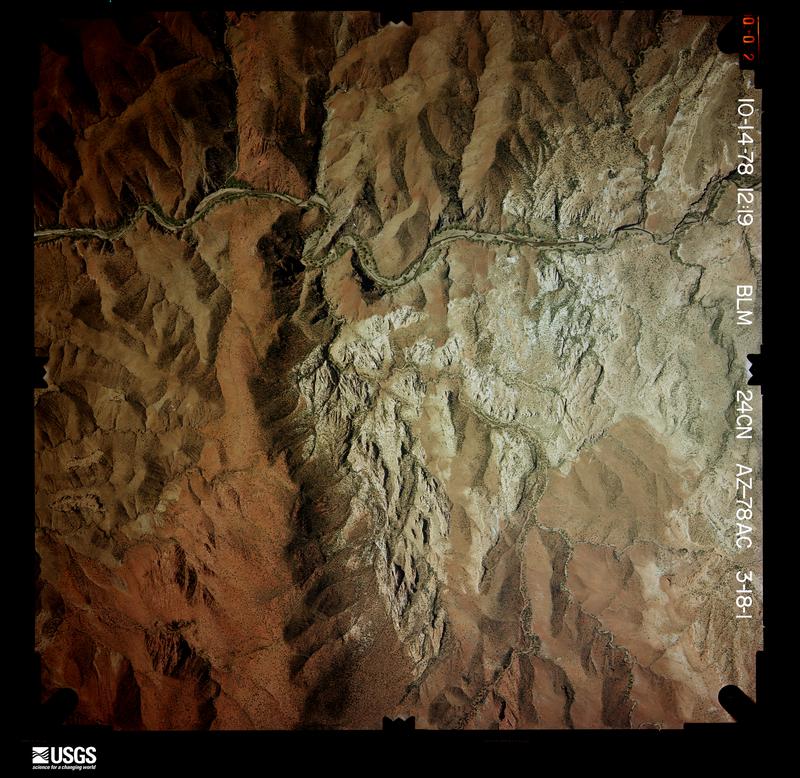
Flown by the U.S. Geological Survey between 1937 and 1989, the Aerial Photo Single Frames collection is the definitive mid-century view of the land: fields, roads and rivers as the camera saw them. The Survey holds 3,462 frames inside the rectangle that bounds this county; the 48 frames below were taken over the county itself, chosen across the decades of flights (at most four a year from that rectangle), so one flight cannot crowd out the rest. The full set is free to browse and download at EarthExplorer under the dataset Aerial Photo Single Frames.
The thermometers that kept this county's weather, and the gages that measured the flow of its streams, as the federal records hold them. The extremes below are measured values from those records, not estimates.
Who lived here in 1950, one enumeration district at a time, as the Census Bureau described each district. Each row opens its official National Archives result, with Population Schedules and ED Maps available there.
Every wildfire the federal occurrence database records inside this county: 1,180 of them, burning about 754,715 acres. 1,012 started naturally and 10 were recorded as arson. Each settlement page carries the fires within five miles of it.
| Reported cause | Fires |
|---|---|
| Natural | 1012 |
| Missing data/not specified/undetermined | 60 |
| Recreation and ceremony | 55 |
| Equipment and vehicle use | 15 |
| Debris and open burning | 13 |
| Arson/incendiarism | 10 |
| Smoking | 4 |
| Power generation/transmission/distribution | 4 |
| Firearms and explosives use | 3 |
| Misuse of fire by a minor | 2 |
| Other causes | 1 |
| Fireworks | 1 |
The five largest, by the area the report gives. None of them was recorded as arson.
| Date | Cause | Size | Reported by | Name on the report |
|---|---|---|---|---|
| 29 May 2011 | Recreation and ceremony | 538,049 acres | Apache-Sitgreaves National Forest | WALLOW |
| 18 August 2020 | Natural | 35,371 acres | Apache-Sitgreaves National Forest | COW CANYON |
| 6 June 2020 | Natural | 23,142 acres | Apache-Sitgreaves National Forest | BRINGHAM |
| 17 July 1995 | Natural | 19,725 acres | Apache-Sitgreaves National Forest | HETT |
| 17 May 2004 | Recreation and ceremony | 16,625 acres | Apache-Sitgreaves National Forest | KP |
| 30 June 2007 | Natural | 15,000 acres | Apache-Sitgreaves National Forest | CHITTY |
| 6 June 2003 | Natural | 10,644 acres | Apache-Sitgreaves National Forest | THOMAS |
| 22 June 2008 | Natural | 8,300 acres | Apache-Sitgreaves National Forest | HOT AIR |
Every settlement page carries the fires within five miles of it - see the settlement index below.
The NOAA Storm Events Database holds 55 reports for this county, causing no deaths, no injuries and about $731,000 in recorded property damage. Each settlement page carries the reports that name it.
| Kind of event | Reports |
|---|---|
| Flash Flood | 21 |
| Thunderstorm Wind | 19 |
| Hail | 9 |
| Flood | 5 |
| Debris Flow | 1 |
The most serious of them, by death, then injury, then recorded damage. The accounts are quoted exactly as the forecast office filed them.
| When | Event | Place named | Harm | What the report says |
|---|---|---|---|---|
| August 2022 | Flood | Duncan | $250,000 | Heavy rain upstream in New Mexico caused the Gila River to flood at Duncan, AZ. Floodwaters caused the closure of Highway 70 and the temporary evacuation of a number of residents. Several homes and a couple businesses experienced minor flooding. The bakery near the corner of Highway 70 and Hill St. sustained the most significant damage from floodwaters. Levees between the river and the highway were damaged by the floodwaters. |
| August 2002 | Flash Flood | Duncan | $100,000 | no account filed |
| July 2022 | Flash Flood | Clifton | $50,000 | Heavy rain of 2 in 1 hour in the Clifton-Morenci area resulted in flash flooding and mud flows along Chase Creek which flooded Coronado Blvd. before flowing into the San Francisco River. |
| September 2013 | Flood | Sprucedale | $50,000 | During the evening of September 13th, heavy rain occurred along the Campbell Blue Creek near the headwaters of the Blue River in Arizona, which was an area that was affected by the 2011 Wallow Fire. Heavy rain also fell along Turkey Creek in Arizona and the Dry Blue Creek in New Mexico. Runoff continued downstream to the confluence of the Campbell Blue and Dry Blue Creeks, which forms the Blue River. In addition, heavy rain occurred during the evening of the 14th in Arizona and New Mexico, swelling the tributaries of the Blue River upstream of the community of Blue, Arizona. Multiple crests in the Blue River two to four feet above flood stage resulted. Sections of Blue River Road were washed out, isolating residents of the community. The Campbell Blue Bridge, which is a 30 foot concrete bridge just across the state line in New Mexico, was completely washed out. Electrical and telephone lines were damaged by the flooding. A utility company truck rolled into Turkey Creek after the adjacent flood-compromised road gave way. The driver was able to escape the six foot deep flowing water without injury. |
| September 2010 | Flash Flood | Stargo | $50,000 | Thunderstorms developed over Clifton around 4:30 pm and intense rainfall resulted. According to Clifton officials, 2.25 inches fell in about 45 minutes, on already saturated soil. The storm resulted in tons of mud and rock piled on city streets. Two unoccupied vehicles parked on Turner Avenue were washed down Ward's Canyon and into the San Francisco River. A third vehicle was tossed onto its side in the canyon about 100 yards from the canyon's confluence with the river. Flash flooding also resulted in damage to a main water line feeding Clifton. |
| July 2002 | Thunderstorm Wind | Duncan | $40,000 | no account filed |
| July 2006 | Flash Flood | Clifton | $30,000 | A county official reported that Ward Canyon and Limestone Canyon had several feet of water flow through them between 2245 MST and 2300 MST. Limestone Canyon had an area of significant road damage. |
| July 2021 | Flash Flood | Clifton | $25,000 | One to two inches of rain in less than an hour caused flash flooding in the Clifton-Morenci area. One school was damaged by floodwaters. |
| September 2012 | Thunderstorm Wind | Fox | $25,000 | Thunderstorm winds blew down an open ended Quonset hut outbuilding and a trailer in Hunter Estates near Duncan. Another trailer sustained considerable roof damage. |
| September 2012 | Flash Flood | Fox | $25,000 | Up to three inches of rain fell in Duncan, causing flash flooding of most streets in Duncan's Hunter Estates where one home was also flooded. A wash that parallels and but remains just northwest of Carlisle Road climbed to a depth of about 8 feet, flooded Fairgrounds Road. Trees and other debris in the flood waters caused minor surface damage to the bridge at Fairgrounds Road before the waters entered the Gila River. |
| August 2011 | Flash Flood | Clifton | $25,000 | Heavy rainfall resulted in flash flooding along the San Francisco River in southern Clifton. The flooding was confined to Ward Canyon where a few homes sustained minor water damage along Ward Canyon Road. |
| August 2014 | Flash Flood | Duncan | $20,000 | Three inches of rain in less than an hour caused flash flooding in Duncan. One home was flooded with water up to 3 feet deep and damage was sustained to a car wash structure. Two to three feet of water cover part of Highway 70 on the northwest edge of Duncan. |
| September 2006 | Flash Flood | Clifton | $15,000 | Law enforcement in the City of Clifton reported a flash flood along Ward Canyon Road. The flash flooding continued towards the Town of Duncan, where Railroad Wash overtopped Highway 70 along the east side of the town. Arizona Department of Transportation closed Highway 70 at Railroad Wash due to the flood waters. One home was flooded in Duncan from the overflow of Railroad Wash. |
| July 2007 | Thunderstorm Wind | Clifton | $7,500 | Eight flagpoles were knocked down at Mares Bluff Veterans Memorial in Clifton. Another flagpole was partially knocked down, being supported by wires. |
| October 2017 | Thunderstorm Wind | Franklin | $5,000 | Thunderstorms winds downed two power poles just south of Duncan. Power was lost in Duncan for several hours as a result. |
| August 2015 | Thunderstorm Wind | Fox | $5,000 | Thunderstorm wind damage occurred at the Greenlee County Fairgrounds. One power pole was knocked over and the horse stalls building sustaining significant roof damage. |
| July 2010 | Thunderstorm Wind | Duncan | $5,000 | Severe thunderstorm winds caused damage near the village of Sheldon in Greenlee County. Several trees were uprooted, and a backyard trampoline was blown 100 yards by the thunderstorm winds. Doors of mobile homes were blown inward. |
| July 2015 | Thunderstorm Wind | Franklin | $1,000 | Duncan Valley Electric reported a power pole down in Franklin. |
| August 2013 | Debris Flow | Clifton | $1,000 | Brief heavy rain caused mud to slide downhill, temporarily closing Highway 191 in Clifton near the old train depot. Debris was up to four feet deep across the roadway. |
| July 2011 | Flash Flood | Hannagan Meadow | $1,000 | Heavy rain fell over portions of the Wallow Fire burned White Mountains resulting in flash flooding near Hannagan Meadow. A mud slide from rapid runoff forced the closure of Highway 191 from mile marker 232 to 239. |
| July 2022 | Thunderstorm Wind | Guthrie | $500 | Guthrie RAWS measured a wind gust to 59 mph and large tree limbs were downed by thunderstorm winds in Clifton. |
| September 2025 | Thunderstorm Wind | Guthrie | - | Guthrie RAWS measured wind gust of 63 mph. Time estimated based on radar. |
| September 2023 | Thunderstorm Wind | Guthrie | - | Guthrie RAWS recorded a peak wind gust of 69 mph. |
| August 2023 | Thunderstorm Wind | Granville | - | A wind gust to 65 mph was measured at the Trail Cabin RAWS. Time estimated from radar at 1315MST. |
| June 2020 | Thunderstorm Wind | Guthrie | - | A severe thunderstorm in Graham County that produced a wind gust of 62 mph at Safford Airport continued east and produced a wind gust of 59 mph at Guthrie RAWS. |
| August 2020 | Thunderstorm Wind | Guthrie | - | Guthrie RAWS station, on a 6300 foot peak, recorded a thunderstorm wind gust of 71 mph. |
| July 2014 | Thunderstorm Wind | Guthrie | - | A thunderstorm wind gust of 58 mph was measured at the Guthrie RAWS. |
| September 2014 | Flash Flood | Franklin | - | Heavy rain caused flash flooding along Highway 70 near mile marker 377. Flash flooding also occurred at mile marker 380 where Rainville Wash overtopped the roadway. |
| July 2014 | Flash Flood | Franklin | - | Railroad Wash over-topped its banks onto highway 70 resulting in the road being closed. |
| July 2013 | Hail | Apache Grove | - | Quarter size hail was reported on Highway 191. |
| June 2011 | Thunderstorm Wind | Guthrie | - | A strong thunderstorm outflow moved through the higher terrain of southern Greenlee and eastern Graham Counties. |
| July 2010 | Flash Flood | Clifton | - | Law enforcement reported U.S. Highway 191 flooded near Wards Canyon and Clifton. |
| January 2010 | Flood | Clifton | - | The Blue River upstream from Clifton rose out of its banks. The river was still above bankfull at 8 AM MST. |
| July 2010 | Flash Flood | Clifton | - | Law enforcement reported Ward Canyon Road was closed due to flooding. |
| January 2008 | Flood | Granville | - | The Blue River crested 4.5 feet above Bankfull stage due to heavy rainfall. |
| July 2007 | Flash Flood | Clifton | - | Flash flooding occurred in Wards Canyon in Clifton. 2 feet of mud and rock was mucked out from under the Wards Canyon bridge. In addition, two vehicles were stuck in soapbox wash. |
| July 2007 | Hail | Hannagan Meadow | - | Hail 3/4 inch in diameter was reported in Hannagan Meadow. |
| July 2006 | Flash Flood | Clifton | - | An emergency manager reported that several washes were flooded in the Town of Clifton. Additionally, an observer in Clifton reported that 1.98 inches of rain had fallen in a short period of time. |
| August 2006 | Flash Flood | Hannagan Meadow | - | Heavy rainfall over portions of Northern Greenlee County caused flooded roadways in Hannagan Meadow. |
| August 2006 | Hail | Hannagan Meadow | - | One inch hail (1.00) was reported along Highway 191 northeast of the Town of Hannagan Meadow. |
| July 2005 | Hail | Hannagan Meadow | - | A severe thunderstorm produced one inch hail (quarter size) that fell along Highway 191 between Hannagan Meadow and Alpine. |
| August 2005 | Hail | Hannagan Meadow | - | The Hannagan Meadow Lodge in the Town of Hannagan Meadow, reported 0.88 inch hail falling and covering the ground. |
| August 2005 | Flash Flood | Clifton | - | The Clifton Police Department reported that Ward Canyon Road in Ward Canyon flooded with 4 to 5 feet of water covering the roadway. |
| August 2005 | Hail | Hannagan Meadow | - | The Cooperative Observer at Hannagan Meadow Lodge in the Town of Hannagan Meadow reported that quarter size (one inch) hail was covering the ground and still falling. |
| September 2004 | Flash Flood | Duncan | - | Localized heavy rainfall caused several streets to become flooded and required closure. Mud and rocks covered U.S. Route 70, after a reported 18 inches of water ran across the road. |
| August 2004 | Hail | Clifton | - | Law enforcement in Clifton reported 0.75 inch hail with a localized thunderstorm. |
| October 2000 | Flood | Clifton | - | Several small mudslides occurred along Highway 191. |
| June 1999 | Thunderstorm Wind | Duncan | - | Trees blown over |
| August 2002 | Flash Flood | Guthrie | - | no account filed |
| July 2001 | Flash Flood | Hannagan Meadow | - | no account filed |
| August 1997 | Hail | Clifton | - | no account filed |
| September 1996 | Thunderstorm Wind | Clifton | - | no account filed |
| August 1992 | Thunderstorm Wind | not stated | - | no account filed |
| July 1991 | Thunderstorm Wind | not stated | - | no account filed |
| August 1990 | Hail | not stated | - | no account filed |
The Survey's mineral resources record lists 211 workings inside this county. 71 still produce and 140 are closed or unrecorded. Each settlement page carries the workings within five miles of it.
| Commodity | Workings |
|---|---|
| Copper | 64 |
| Manganese | 31 |
| Sand and Gravel, Construction | 27 |
| Gold, Silver | 20 |
| Gold | 17 |
| Fluorine-Fluorite | 15 |
| Silver | 8 |
| Silver, Gold | 7 |
| Zinc | 7 |
| Silica | 6 |
| Molybdenum | 6 |
| Pumice | 5 |
| Lead | 4 |
| Copper, Silver | 4 |
The least common of them first, because a county's hundredth gravel pit says nothing its first ten did not.
| Where | Site | Commodity | Status | Recorded |
|---|---|---|---|---|
| Aricana Mining Corp | Copper, Gold, Silver, Zinc | Unknown | ||
| Arizona Central Mine | Copper, Zinc, Iron | Producer | 1870, 1882, 1920 | |
| Arizona Red and Brownstone Quarries | Stone, Dimension | Past Producer | ||
| Ash Peak District | Gold, Silver, Lead, Copper, Zinc, Manganese | Producer | VEIN | |
| Ash Peak Mines | Silver, Gold, Silica, Copper, Lead, Manganese | Producer | 1900, 1905, 1970 | |
| Bell and Pinkard Group | Silver, Gold, Zinc, Lead, Copper | Producer | 1949, 1951 | |
| Buzzard's Shadow Mine | Gold, Copper, Silver, Manganese | Producer | 1901, 1904, 1915 | |
| Carslile | Calcium, Silica, Gold, Silver | Past Producer | ||
| Clifton Copper Mines | Copper, Molybdenum, Gypsum-Anhydrite | Producer | 1875, 1905, 1911 | |
| Commerce | Gold, Copper, Lead, Silver, Zinc | Prospect | ||
| Copper Basin | Gold, Lead, Silver, Zinc, Copper | Prospect | ||
| Copper Mountain Kaolin Occurrence | Kaolin | Occurrence | Kaolinite | |
| Coronado Mine | Copper, Zinc, Lead, Manganese | Producer | 1874, 1913, 1918 | |
| Corporate and Climax Claims | Gold, Manganese | Past Producer | 1932 | |
| Daniels Camp | Fluorine-Fluorite, Manganese, Beryllium | Past Producer | 1918 | |
| Daniels Camp 1 & 2 | Fluorine-Fluorite, Beryllium, Manganese | Prospect | 1918 | |
| Detroit Mine | Copper, Silver, Manganese, Zinc | Past Producer | 1884, 1932 | |
| Dover Copper Group | Copper, Silver, Gold, Lead | Past Producer | 1913, 1945 | |
| Eagle Rock Tin | Tin | Prospect | ||
| Fourth of July Claims | Fluorine-Fluorite, Manganese, Tungsten, Copper, Gold, Silver, Beryllium | Past Producer | 1917, 1937, 1955 | |
| Fourth of July Mine | Fluorine-Fluorite, Beryllium, Copper, Gold, Manganese, Silver, Tungsten | Past Producer | 1917 | |
| Goat Camp 1-2 | Fluorine-Fluorite, Silica, Calcium | Prospect | ||
| Gold Belt Mines | Copper, Gold, Silver, Lead, Manganese, Zinc | Producer | 1904, 1907, 1947 | |
| Golden Eagle Prospect | Copper, Silver, Gold, Lead | Producer | 1875 | |
| Granite Gold Group | Copper, Gold, Lead, Silver | Prospect | ||
| Granville Area Perlite Occurrence | Perlite | Occurrence | ||
| Hormeyer Mine | Gold, Lead, Copper, Zinc, Silver | Producer | 1875 | |
| Hot Springs and Adit | Water, Free | Prospect | ||
| Independence | Silica, Silver, Copper | Unknown | ||
| Keppler | Gold, Copper, Iron, Silver | Past Producer | ||
| Lakeman Group | Silver, Gold, Copper, Lead, Iron | Producer | 1875, 1904, 1935 | |
| Lakemen | Gold, Lead, Copper, Silver | Past Producer | ||
| Lime Cap | Lead, Zinc, Gold, Silver, Vanadium, Molybdenum | Past Producer | ||
| Lime Cap Group | Zinc, Lead, Vanadium, Molybdenum, Gold, Silver, Copper, Manganese | Producer | 1916, 1940, 1941 | |
| Limestone Occurrence | Limestone, General, Dolomite | Occurrence | Sedimentary | |
| Longfellow Incline | Kaolin, Copper, Gold, Silver | Past Producer | ||
| Longfellow Mine | Copper, Kaolin, Gold, Silver | Producer | 1872, 1882, 1932 | |
| Luckie No. 1 and 2 Claims | Fluorine-Fluorite, Manganese, Tungsten, Barium-Barite, Beryllium | Producer | Barite, Bertrandite, Fluorite, Psilomelane | |
| Metcalf | Copper, Zinc, Gold, Molybdenum, Silver, Silica | Producer | ||
| Metcalf Mines | Copper, Silver, Gold, Molybdenum, Zinc | Past Producer | 1870, 1882, 1979 | |
| Midnight | Gold, Lead, Silver, Manganese | Past Producer | ||
| Midnight Mine | Copper, Gold, Lead, Silver, Manganese | Producer | 1903, 1910, 1942 | |
| Morenci Mine | Copper, Gold, Silver, Molybdenum, Gemstone, REE, Zinc, Uranium, Lead, Talc-Soapstone, Gypsum-Anhydrite, Garnet | Producer | 1865, 1942 | |
| Mulligan Peak Agate | Semiprecious Gemstone, Limestone, General | Unknown | ||
| New York and Arizona Gold Mines | Silver, Gold, Copper, Lead, Manganese | Producer | 1901, 1921, 1937 | |
| Polaris Group | Gold, Copper, Silver, Lead, Zinc | Past Producer | 1890, 1911, 1943 | |
| Prospects and Adits | Iron, Gold, Silver, Silica | Prospect | ||
| Rousensock Creek | Perlite, Pumice | Occurrence | Pumice | |
| Ryerson Mine Occurrences | Aluminum | Past Producer | Alunite | |
| Shannon Mine | Copper, Silver, Gold, Garnet, Iron, Zinc, Manganese | Past Producer | 1875, 1902, 1918 | |
| Thurston-Hardy | Tungsten, Manganese | Occurrence | ||
| Twig | Lead, Silver, Zinc, Gold | Past Producer | ||
| Twig Mine | Lead, Gold, Copper, Silver, Zinc | Producer | 1915, 1948 | |
| Ash Peak | Manganese, Silica, Silver, Gold, Copper | Producer | ||
| Colorado | Copper, Gold, Zinc, Silver | Past Producer | ||
| Denton Mine | Manganese, Gypsum-Anhydrite | Producer | 1917 | |
| Gila Hot Springs Group | Manganese, Barium-Barite | Producer | 1938 | |
| Golden Eagle | Copper, Gold, Zinc, Silver | Past Producer | ||
| Gravel Pit | Pumice, Sand and Gravel, Construction | Prospect | ||
| Gravel Pit | Pumice, Sand and Gravel, Construction | Prospect | ||
| Manganese Blue Mine | Copper, Iron, Gypsum-Anhydrite | Past Producer | 1872, 1882, 1920 | |
| Morenci Mordenite | Zeolites | Occurrence | Clinoptilolite | |
| Morenci Mordenite Occurrence | Zeolites | Unknown | ||
| Shamrock Shaft | Manganese, Silica, Silver, Gold, Copper | Past Producer | ||
| Stargo Mines | Gold, Silver, Lead, Copper | Past Producer | 1890, 1908, 1935 | |
| Thurston and Hardy Mines | Manganese, Barium-Barite | Past Producer | Barite, Psilomelane, Pyrolusite | |
| Wampoo Mine | Silver, Gold, Copper, Lead | Producer | 1923, 1970 | |
| Clifton Copper Mines | Geothermal | Unknown | ||
| Diatomite Prospect | Diatomite | Unknown | ||
| Duncan Area Diatomite Deposits | Diatomite | Occurrence | Diatomite | |
| Eagle Creek Spring | Geothermal | Unknown | ||
| Evans Point Lime Quarry | Stone, Crushed/Broken | Producer | ||
| Evans Point Lime Quarry | Stone, Crushed/Broken | Producer | ||
| Gillard Hot Spring | Geothermal | Unknown | ||
| Iceland Spar | Calcium | Occurrence | Vein | |
| Iceland Spar | Calcium | Past Producer | ||
| Limestone Occurrence | Limestone, General | Occurrence | Sedimentary | |
| Morenci Lime Plant | Limestone, General | Producer | ||
| Morenci Quarry | Limestone, General | Past Producer | Limestone | |
| Silica Pit | Stone, Crushed/Broken | Producer | ||
| Stephens Diatomite | Diatomite | Past Producer | ||
| Dean | Copper, Silver, Lead | Past Producer | ||
| La Palma Group | Lead, Manganese | Producer | 1925 | |
| La Palma Group | Manganese, Lead | Past Producer | ||
| Silver King Mine | Copper, Silver, Gold | Producer | 1890, 1907, 1910 | |
| Big Lue Mtns. No. 1 Gravel Pit | Pumice | Past Producer | Gravel, Pumice | |
| Big Lue Mtns. No. 1 Quarry | Pumice | Past Producer | Gravel, Pumice | |
| Big Lue Mtns. No. 2 Gravel Pit | Pumice | Past Producer | Gravel, Pumice | |
| Black Jack Cave | Pumice | Unknown | ||
| Quarry | Pumice | Prospect | ||
| Clifton No. 1 Silica Pit | Silica | Past Producer | Quartzite, Sandstone | |
| Copper Bluff Mine | Copper, Gold, Silver, Molybdenum | Producer | 1872, 1916, 1920 | |
| Exxon Corp.Leases | Molybdenum | Unknown | ||
| Exxon Unpatented Claims | Molybdenum | Prospect | ||
| Harmony Number One | Silica | Producer | ||
| Parrot Group | Copper, Molybdenum | Occurrence | ||
| Parrot Group | Copper, Molybdenum | Prospect | ||
| Silica Pit | Silica | Producer | ||
| Willis Mine | Silica | Past Producer | Quartzite | |
| Antietam Mine | Copper, Silver, Gold | Producer | 1902, 1903 | |
| Cayuga Mine | Copper, Zinc | Producer | Chalcopyrite, Pyrite, Sphalerite | |
| Copper Mountain Mine | Copper, Zinc | Producer | 1872, 1882, 1920 | |
| Gold Bar Mines | Silver, Gold, Copper | Producer | 1875, 1910, 1946 | |
| Humboldt Mine | Copper, Zinc | Past Producer | 1892, 1932 | |
| Stevens Group Mines | Copper, Silver, Gold | Producer | 1872, 1903, 1920 | |
| Wilba Claims | Manganese, Silver, Gold | Producer | 1953 | |
| Yavapai Mine | Copper, Zinc | Past Producer | 1932 | |
| Capote Mine | Silver, Gold | Producer | 1890, 1907, 1908 | |
| San Jose Mine | Copper, Silver | Producer | 1903, 1911 | |
| Standard Copper Mine | Copper, Silver | Producer | 1902, 1911 | |
| XIV Group | Copper, Silver | Producer | 1872, 1937, 1951 | |
| Duncan District | Fluorine-Fluorite | Unknown | ||
| Eureka | Fluorine-Fluorite | Occurrence | Vein | |
| Eureka | Fluorine-Fluorite | Unknown | ||
| Forbis | Fluorine-Fluorite | Past Producer | Fluorite | |
| Lonestar | Fluorine-Fluorite | Prospect | ||
| Luckie No. 1 Mine | Fluorine-Fluorite | Past Producer | Surface, Underground | |
| Luckie No. 2 Mine | Fluorine-Fluorite | Past Producer | Surface, Underground | |
| Phillips Mine | Fluorine-Fluorite | Past Producer | Fluorite | |
| Phillips Mine | Fluorine-Fluorite | Past Producer | Surface, Underground | |
| Polly Ann Mine | Fluorine-Fluorite | Past Producer | 1937 | |
| Chase Creek Placers | Gold | Producer | Placer | |
| Claims M S 4625 | Gold | Prospect | ||
| Clifton - Morenci Placer Deposits | Gold | Producer | Gold | |
| Gold Gulch Placers | Gold | Producer | 1870, 1905 | |
| North San Francisco River Placers | Gold | Producer | 1875 | |
| Obw Fry | Gold | Occurrence | ||
| Compensation | Gold, Silver | Occurrence | Argentite | |
| Copper King Mine | Copper, Gold, Silver | Producer | 1906, 1910 | |
| Copper Plate | Copper, Gold, Silver | Past Producer | ||
| Cuprite Group | Copper, Gold, Silver | Producer | 1875, 1905, 1916 | |
| Dover | Copper, Gold, Silver | Past Producer | ||
| Eleven and Celtic Group | Copper, Gold, Silver | Producer | 1906 | |
| Keating | Copper, Gold, Silver | Past Producer | ||
| Las Trajas | Copper, Gold, Silver | Past Producer | ||
| Las Trajas Mine | Copper, Gold, Silver | Producer | Chrysocolla, Malachite | |
| Mansfield Claim | Copper, Gold, Silver | Producer | 1875 | |
| Molinar Alaska Mine | Copper, Gold, Silver | Producer | 1872, 1952, 1967 | |
| Santa Lucia Mine | Copper, Gold, Silver | Producer | 1875, 1907, 1918 | |
| South Sycamore Group | Gold, Silver, Copper | Unknown | ||
| Stevens Group | Copper, Gold, Silver | Past Producer | ||
| ADOT Gravel Pit | Sand and Gravel, Construction | Producer | ||
| ADOT Gravel Pit | Sand and Gravel, Construction | Producer | ||
| ADOT Gravel Pit | Sand and Gravel, Construction | Producer | ||
| ADOT Gravel Pit | Sand and Gravel, Construction | Producer | ||
| ADOT Gravel Pit | Sand and Gravel, Construction | Producer | ||
| ADOT Gravel Pit | Sand and Gravel, Construction | Producer | ||
| ADOT Gravel Pit | Sand and Gravel, Construction | Producer | ||
| ADOT Gravel Pit | Sand and Gravel, Construction | Producer | ||
| ADOT Gravel Pit | Sand and Gravel, Construction | Producer | ||
| Gravel Pit | Sand and Gravel, Construction | Prospect | ||
| Gravel Pit | Sand and Gravel, Construction | Past Producer | ||
| Gravel Pit | Sand and Gravel, Construction | Unknown | ||
| Gravel Pit | Sand and Gravel, Construction | Prospect | ||
| Gravel Pit | Sand and Gravel, Construction | Unknown | ||
| Gravel Pit | Sand and Gravel, Construction | Past Producer | ||
| Gravel Pit | Sand and Gravel, Construction | Past Producer | ||
| Gravel Pit | Sand and Gravel, Construction | Past Producer | ||
| Gravel Pit | Sand and Gravel, Construction | Past Producer | ||
| Gravel Pit | Sand and Gravel, Construction | Prospect | ||
| Gravel Pit | Sand and Gravel, Construction | Past Producer | ||
| Gravel Pit | Sand and Gravel, Construction | Prospect | ||
| Gravel Pit | Sand and Gravel, Construction | Past Producer | ||
| Gravel Pit | Sand and Gravel, Construction | Prospect | ||
| Gravel Pit | Sand and Gravel, Construction | Prospect | ||
| Gravel Pits | Sand and Gravel, Construction | Past Producer | ||
| Gravel Pits | Sand and Gravel, Construction | Past Producer | ||
| Two Gravel Pits | Sand and Gravel, Construction | Prospect | ||
| A-1 Claims | Manganese | Past Producer | 1952 | |
| Black Beauty Group | Manganese | Past Producer | 1954 | |
| Black Cat Claims | Manganese | Producer | 1952, 1953 | |
| Black Cat Group | Manganese | Past Producer | 1952 | |
| Black Rock Group | Manganese | Producer | 1906, 1951 | |
| Black Rock Group | Manganese | Past Producer | 1951 | |
| Climax Claim | Manganese | Past Producer | 1951 | |
| Corporate Group | Manganese | Past Producer | 1932 | |
| Crow Group | Manganese | Past Producer | 1951 | |
| Denton Claims | Manganese | Past Producer | 1951 | |
| Gila Hot Springs Claim | Manganese | Past Producer | 1954 | |
| Greenlee County Mn Deposits | Manganese | Past Producer | 1917 | |
| La Palma,Venus & San Francisco | Manganese | Prospect | 1920 | |
| Luckie Mine | Manganese | Prospect | 1963 | |
| Oliver Claims | Manganese | Producer | 1955 | |
| Oliver Group of Claims | Manganese | Past Producer | 1955 | |
| Paradise and Spw Claims | Manganese | Prospect | 1952 | |
| Pyrolusite No. 1 | Manganese | Past Producer | ||
| Red Rock Claims | Manganese, Copper | Occurrence | 1953 | |
| Red Rock Claims | Manganese | Unknown | 1953 | |
| Sylvia M Claims | Manganese | Occurrence | 1953 | |
| Sylvia M Claims | Manganese | Prospect | 1953 | |
| Wilba Group | Manganese | Past Producer | 1954 | |
| (Facility) Morenci Copper Smelter | Copper | Plant | ||
| Amax Exploration Inc Leases | Copper | Unknown | ||
| Anderson Property | Copper | Unknown | ||
| Black Prince | Copper | Prospect | ||
| Brunswick Mine | Copper | Producer | 1875 | |
| Calridge Property | Copper | Prospect | ||
| Commerce | Copper | Occurrence | Chrysocolla | |
| Copper Basin | Copper | Past Producer | Vein | |
| Copper Cliff Mine | Copper | Producer | 1915 | |
| Coronado | Copper | Past Producer | ||
| Elizabeth Claims | Copper | Prospect | ||
| Emerald | Copper | Past Producer | ||
| Flux Claims | Copper | Prospect | ||
| Iolanthe Prospect | Copper | Producer | 1875, 1902 | |
| Mammoth Mine | Copper | Producer | 1872, 1890 | |
| Miza | Copper | Past Producer | ||
| Monte Cristo Mine | Copper | Past Producer | 1875, 1910 | |
| Morenci Mill | Copper | Producer | ||
| Producer | Copper | Past Producer | ||
| Triple S No 1 and 2 | Copper | Prospect |
Named settlements recorded in the Geographic Names Information System, each with the topographic sheets covering it. Villages, hamlets and abandoned places alike. Each is shown with the nearest named watercourse or landform and the survey quadrangle it falls on. The 3 places that were also surveyed for fire insurance come first, with the number of atlases and photographs held for them.
Clifton census division · 85533 · Near Devils Canyon · Clifton quadrangle
20 sheets, 1902 to 1997
Fire insurance: 6 atlases
Duncan census division · 85534 · Near Blackfield Canyon · Duncan quadrangle
14 sheets, 1954 to 1994
Fire insurance: 3 atlases
Clifton census division · 85540 · Near Modoc Mountain · Clifton quadrangle
20 sheets, 1902 to 1997
Fire insurance: 4 atlases
Duncan census division · 85534 · Near Apache Gulch · Sheldon quadrangle
12 sheets, 1954 to 1994
Clifton census division · 85533 · On San Francisco River · Guthrie quadrangle
12 sheets, 1954 to 1994
Clifton census division · 85922 · Near Steeple Canyon · Blue quadrangle
14 sheets, 1922 to 2005
Clifton census division · 85922 · Near Hinkle Spring Canyon · Blue quadrangle
14 sheets, 1922 to 2005
Clifton census division · 85922 · Near Red Hills · Beaverhead quadrangle
14 sheets, 1922 to 1997
Clifton census division · 85922 · Near Bardman Canyon · Hannagan Meadow quadrangle
14 sheets, 1922 to 1997
Clifton census division · 85540 · On Chase Creek · Clifton quadrangle
20 sheets, 1902 to 1997
Duncan census division · 85534 · Near Woods Canyon · Hot Well quadrangle
13 sheets, 1954 to 1994
Clifton census division · 85533 · By Final Point · Coronado Mountain quadrangle
20 sheets, 1902 to 1997
Clifton census division · 85533 · Near Rattlesnake Canyon · Guthrie quadrangle
12 sheets, 1954 to 1994
Clifton census division · 85922 · Near Lost Cienega · Hannagan Meadow quadrangle
14 sheets, 1922 to 1997
Clifton census division · 85540 · On San Francisco River · Guthrie quadrangle
12 sheets, 1954 to 1994
Clifton census division · 85540 · Near King Gulch (historical) · Clifton quadrangle
20 sheets, 1902 to 1997
No longer a settlement
Clifton census division · 85540 · Near Stargo Gulch (historical) · Clifton quadrangle
20 sheets, 1902 to 1997
Duncan census division · 85534 · Near Ash Peak Canyon · Sheldon quadrangle
12 sheets, 1954 to 1994
Clifton census division · 85922 · Near Johns Canyon · Hannagan Meadow quadrangle
14 sheets, 1922 to 1997
Clifton census division · 85533 · Near Dark Canyon · Coronado Mountain quadrangle
20 sheets, 1902 to 1997
Clifton census division · 85540 · Near Morenci Gulch (historic) · Clifton quadrangle
20 sheets, 1902 to 1997
Clifton census division · 85922 · Near Blue Peak · Strayhorse quadrangle
14 sheets, 1922 to 1997
Clifton census division · 85922 · Near Box Canyon · Maness Peak quadrangle
14 sheets, 1922 to 2005
Duncan census division · 85534 · Near Rocky John Canyon · York quadrangle
12 sheets, 1954 to 1994
The vanished settlements of Greenlee County: the places named above that are no longer on the map.
20 topographic sheets and 6 fire insurance atlases, 1893 to 1948
20 topographic sheets and 4 fire insurance atlases, 1904 to 1931
The complete index, with nothing left out. Each of these is a separate record with its own page: a federal survey report, or the case file that argued a property on to the National Register. Both are public domain and reproduced word for word.
The vanished settlements of Greenlee County, the places these records name that are no longer on the map.