 Block
Apache Wells, Arizona
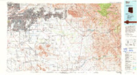
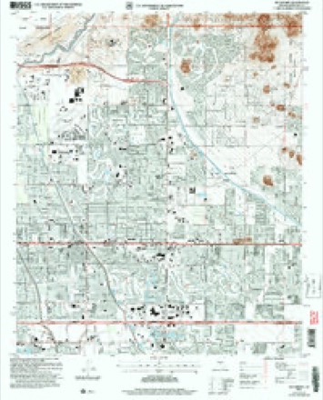
21 topographic sheets cover this place, the earliest surveyed in 1904 and the latest in 2004. It stands in the Phoenix census division. It lies in ZIP code area 85215. The Survey maps it on the Buckhorn quadrangle.
Topographic sheets covering this place
11 surveys from 21 printed sheetsMatched by testing this settlement's coordinate against the published boundary of every sheet in the United States Geological Survey's historical collection. Each opens the scanned sheet at the Survey.
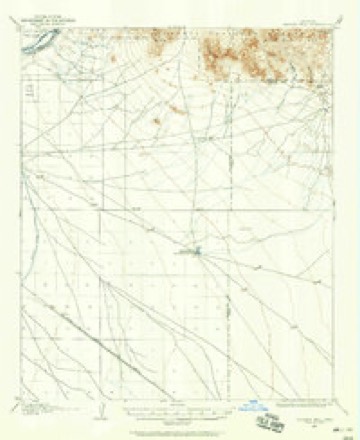
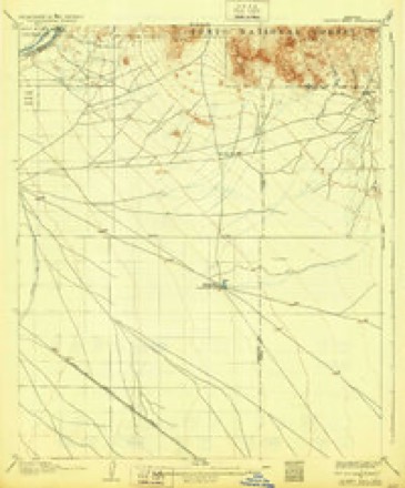
- 1904 USGS Desert Well quadrangle1:62500
- 1906 USGS Desert Well quadrangle1:62500, 3 printings
- 1954 USGS Mesa quadrangle1:250000, 4 printings
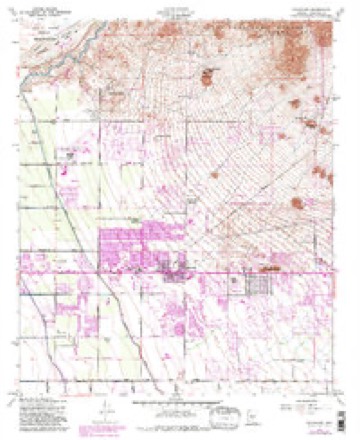
- 1956 USGS Buckhorn quadrangle1:24000, 5 printings
- 1957 USGS Mesa quadrangle1:250000
- 1958 USGS Mesa quadrangle1:250000
- 1960 USGS Mesa quadrangle1:250000
- 1964 USGS Mesa quadrangle1:250000
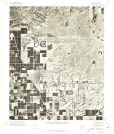
- 1971 USGS Buckhorn quadrangle1:24000
- 1994 USGS Mesa quadrangle1:100000, 2 printings
- 2004 USGS Buckhorn quadrangle1:24000





Fires near this place
271 since 1992Regional context, not property-specific evidence. The federal wildfire occurrence database lists 271 fires within 5 miles of Apache Wells between 1992 and 2020, burning about 123 acres in total. 3 started naturally. 12 were recorded as arson. Distance is straight-line from the map coordinates, so a fire counted here may appear on a neighbouring settlement's page as well.
| Reported cause | Fires |
|---|---|
| Missing data/not specified/undetermined | 238 |
| Arson/incendiarism | 12 |
| Recreation and ceremony | 12 |
| Natural | 3 |
| Equipment and vehicle use | 3 |
| Debris and open burning | 1 |
| Misuse of fire by a minor | 1 |
| Smoking | 1 |
The most recent of them, most recent first, with the day each was reported and the service that recorded it.
| Date | Cause | Size | Reported by | Name on the report |
|---|---|---|---|---|
| 6 September 2020 | Missing data/not specified/undetermined | 1.4 acres | Salt River Agency | ROMA |
| 6 September 2018 | Missing data/not specified/undetermined | under an acre | Mesa Fire and Medical Department | 70804 |
| 4 September 2018 | Missing data/not specified/undetermined | under an acre | Mesa Fire and Medical Department | 70432 |
| 28 September 2017 | Missing data/not specified/undetermined | under an acre | Mesa Fire and Medical Department | not named |
| 23 September 2017 | Missing data/not specified/undetermined | under an acre | Mesa Fire and Medical Department | not named |
| 22 September 2018 | Missing data/not specified/undetermined | under an acre | Mesa Fire and Medical Department | 75356 |
| 20 September 2018 | Missing data/not specified/undetermined | under an acre | Mesa Fire and Medical Department | 74883 |
| 15 September 2014 | Arson/incendiarism | under an acre | Salt River Agency | 87 & MM 185 |
Settlements close enough to share some of these fires:
Mines and quarries near this place
7 within 5 milesRegional context, not property-specific evidence. The federal mineral resources record lists 7 workings within 5 miles of Apache Wells: 5 producers, 1 past producer, 1 unknown. 5 still produce. What was taken out: Sand and Gravel, Construction, Stone, Crushed/Broken. Distance is straight-line from the map coordinates, so a quarry counted here may appear on a neighbouring settlement's page as well.
| Where | Site | Commodity | Status | Recorded |
|---|---|---|---|---|
| Red Mountain Mine | Stone, Crushed/Broken | Producer | ||
| Beeline Plant | Sand and Gravel, Construction | Producer | ||
| Granite Reef Mine | Sand and Gravel, Construction | Producer | ||
| Gravel Pit | Sand and Gravel, Construction | Unknown | ||
| Mc Kellips Road Pit | Sand and Gravel, Construction | Producer | ||
| Sand & Gravel Pit | Sand and Gravel, Construction | Producer | ||
| Sand and Gravel Quarry | Sand and Gravel, Construction | Past Producer | Sand and Gravel |
Storms near this place
8 since 2010Regional context, not property-specific evidence. The National Weather Service names Apache Wells in 8 storm reports between 2010 and 2025: 5 thunderstorm wind, 1 heavy rain, 1 hail, 1 flood. No death or injury is recorded in these reports. Each account below is quoted exactly as the forecast office filed it, from the NOAA Storm Events Database, and each date opens the federal record of that event.
| When | Event | Place named | Harm | What the report says |
|---|---|---|---|---|
| August 2010 | Thunderstorm Wind | Apache Wells | $300,000 | Considerable damage across a part of East Mesa. Several homes were damaged and numerous trees were uprooted. The primary area of damage was near MCKellips and Sossaman. One east Mesa resident had his 23 foot saguaro blown over by winds estimated to be 60 mph. The strong winds also ripped off a replacement roof covering a detached garage; the roof came to rest between the home and their swimming pool. |
| August 2022 | Thunderstorm Wind | Apache Wells | $8,000 | Downed power lines reported just southeast of Granite Reef Dam. A photo taken along Power Road also showed at least 1 snapped and 3 toppled power poles. Time estimated from radar. Winds were estimated at 55-60 mph. No injuries were reported. |
| September 2025 | Thunderstorm Wind | Apache Wells | $2,000 | Power line reported down from North 80th to North 88th Streets, between East Oak Street and East McDowell Road. No injuries reported. |
| July 2021 | Thunderstorm Wind | Apache Wells | - | Mesonet station SRP10 at 6.5 miles N of EAST MESA measured a wind gust of 61 mph. |
| July 2021 | Thunderstorm Wind | Apache Wells | - | Mesonet station SRP10 at 6.5 miles N of East Mesa measured a 67 mph wind gust. |
| August 2021 | Flood | Apache Wells | - | Releases at Granite Reef Dam were conducted in response to increased flow in the Salt/Verde River systems from the recent heavy rainfall. The Maricopa County Flood Control District stream gage along the Salt River below Granite Reef Dam showed flow peaking early in the afternoon on the 12th at 3,763 CFS. This resulted in increased flow down the Salt River, which impacted downstream unbridged crossings. Further downstream, a Maricopa County Flood Control District stream gage along the Salt River at Val Vista Drive showed flow from the upstream release peaking at 2,109 CFS. According to the Maricopa County Department of Transportation, McKellips Road was closed from SR 202 to Alma School Road due to the flooding caused by the releases. Timing was estimated using the stream gages and approximate downstream travel time to the areas impacted. No damage or injuries were reported. |
| December 2019 | Hail | Apache Wells | - | Public mPing report of quarter-sized hail near Las Sendas Golf Club in northeast Mesa. A severe thunderstorm warning was in effect at the time. No injuries or damage were reported. |
| July 2017 | Heavy Rain | Apache Wells | - | Strong thunderstorms developed across the eastern portion of the greater Phoenix area during the evening hours on July 20th and some of them brought locally heavy rainfall to the community of Mesa. Peak rain rates with the heavier showers reached two inches per hour; at about 2130MST a trained spotter 4 miles north of East Mesa measured one inch of rain which fell within 30 minutes. The rain did not cause flash flooding, rather it was sufficient to cause urban street flooding and necessitated the issuance of an Urban and Small Stream Flood Advisory for East Mesa as well as a number of other communities in the area. The advisory was allowed to expire at 2145MST following significant reduction in rainfall across the area. |
Nearest settlements
The eight closest, with where each one stands in the county. Distances are straight-line, computed from the Geographic Names Information System coordinates.
| Map | Place | Distance | Sheets |
|---|---|---|---|
| Palmas del Sol | 1.0 miles | 21 | |
| Harmony Villa | 1.0 miles | 21 | |
| Las Alegres | 1.1 miles | 21 | |
| Sunshine Acres | 1.2 miles | 21 | |
| Granite Reef Estates | 2.0 miles | 21 | |
| Dreamland Villa | 2.6 miles | 21 | |
| Greenfield Estates | 2.8 miles | 21 | |
| Greenfield Park | 2.8 miles | 21 |
Provenance
This settlement is recorded in the Geographic Names Information System as feature 36924. The sheet list is computed by point-in-boundary test against the United States Geological Survey's historical topographic inventory. Both are works of the United States government and carry no copyright under 17 U.S.C. 105.
Wildfire. Short, Karen C. 2022. Spatial wildfire occurrence data for the United States, 1992-2020 [FPA_FOD_20221014]. 6th Edition. Fort Collins, CO: Forest Service Research Data Archive. https://doi.org/10.2737/RDS-2013-0009.6 Collected with United States Government funding and usable without additional permissions or fees.
Mines and quarries. USGS Mineral Resources Data System (MRDS) https://mrdata.usgs.gov/mrds/ A work of the United States government, no copyright under 17 U.S.C. 105.
Storms. NOAA National Centers for Environmental Information, Storm Events Database https://www.ncei.noaa.gov/stormevents/ A work of the United States government, no copyright under 17 U.S.C. 105. Narratives are quoted verbatim from the National Weather Service report and are not edited or summarised.