 Block
Dreamland Villa, Arizona
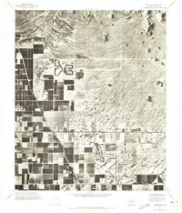
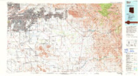
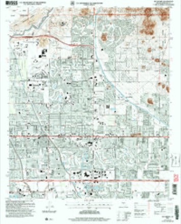
21 topographic sheets cover this place, the earliest surveyed in 1904 and the latest in 2004. It stands in the Phoenix census division. It lies in ZIP code area 85205. The Survey maps it on the Buckhorn quadrangle. It stands 1,371 feet above sea level.
On record in Dreamland Villa
Buildings and businesses the archive holds for this place. Each opens its own page, with the source record it came from.
On the National Register within a mile 1 record
The National Register names another town for these. They stand within one mile of this settlement's coordinate.
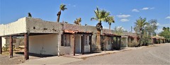 Buckhorn Baths Motellisted 2005 · 0.6 miles away
Topographic sheets covering this place
11 surveys from 21 printed sheetsMatched by testing this settlement's coordinate against the published boundary of every sheet in the United States Geological Survey's historical collection. Each opens the scanned sheet at the Survey.
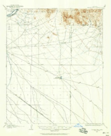
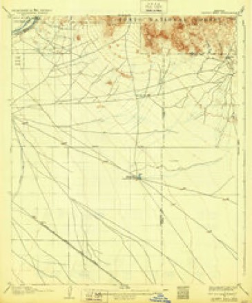
- 1904 USGS Desert Well quadrangle1:62500
- 1906 USGS Desert Well quadrangle1:62500, 3 printings
- 1954 USGS Mesa quadrangle1:250000, 4 printings
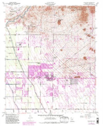
- 1956 USGS Buckhorn quadrangle1:24000, 5 printings
- 1957 USGS Mesa quadrangle1:250000
- 1958 USGS Mesa quadrangle1:250000
- 1960 USGS Mesa quadrangle1:250000
- 1964 USGS Mesa quadrangle1:250000
- 1971 USGS Buckhorn quadrangle1:24000
- 1994 USGS Mesa quadrangle1:100000, 2 printings
- 2004 USGS Buckhorn quadrangle1:24000





Fires near this place
398 since 1995Regional context, not property-specific evidence. The federal wildfire occurrence database lists 398 fires within 5 miles of Dreamland Villa between 1995 and 2020, burning about 1,255 acres in total. 4 started naturally. 6 were recorded as arson. Distance is straight-line from the map coordinates, so a fire counted here may appear on a neighbouring settlement's page as well.
| Reported cause | Fires |
|---|---|
| Missing data/not specified/undetermined | 386 |
| Arson/incendiarism | 6 |
| Natural | 4 |
| Power generation/transmission/distribution | 1 |
| Equipment and vehicle use | 1 |
The most recent of them, most recent first, with the day each was reported and the service that recorded it.
| Date | Cause | Size | Reported by | Name on the report |
|---|---|---|---|---|
| 6 September 2018 | Missing data/not specified/undetermined | under an acre | Mesa Fire and Medical Department | 70804 |
| 5 September 2017 | Missing data/not specified/undetermined | under an acre | Mesa Fire and Medical Department | not named |
| 4 September 2018 | Missing data/not specified/undetermined | 1.0 acres | Mesa Fire and Medical Department | 70271 |
| 4 September 2018 | Missing data/not specified/undetermined | under an acre | Mesa Fire and Medical Department | 70432 |
| 3 September 2018 | Missing data/not specified/undetermined | under an acre | Mesa Fire and Medical Department | 70109 |
| 29 September 2019 | Missing data/not specified/undetermined | under an acre | Arizona Department of Forestry and Fire Management - State Office | NOT NAMED |
| 28 September 2017 | Missing data/not specified/undetermined | under an acre | Mesa Fire and Medical Department | not named |
| 25 September 2018 | Missing data/not specified/undetermined | under an acre | Mesa Fire and Medical Department | 76300 |
Settlements close enough to share some of these fires:
Storms near this place
12 since 2013Regional context, not property-specific evidence. The National Weather Service names Dreamland Villa in 12 storm reports between 2013 and 2025: 8 thunderstorm wind, 2 flash flood, 2 flood. The reports record 1 injury. Each account below is quoted exactly as the forecast office filed it, from the NOAA Storm Events Database, and each date opens the federal record of that event.
| When | Event | Place named | Harm | What the report says |
|---|---|---|---|---|
| July 2022 | Thunderstorm Wind | Dreamland Villa | 1 hurt, $5,000,000 | SR-87 was closed between Loop-202 and Shea Blvd due to widespread wind damage. One mobile home and one modular home were destroyed resulting in one injury, requiring the person to be transported to the hospital and be placed in the Intensive Care Unit. Numerous power poles were blown down as well as several transmission towers that had collapsed. The transmission towers were in an area west of Gilbert Rd and along Highway 87. Salt River Project (SRP) utilities confirmed a total of 16 power poles were either blown over or snapped. They also confirmed another 5 (230 volt) transmission towers had collapsed. Other less severe damage was widespread across the region that included shingles blown off numerous homes, tree damage and damage to road signs. 20 other homes were listed as inhabitable. Initial wind estimates from NWS Phoenix were 80-100 mph. SRP rated their transmission towers for 90-95 mph. So, speeds may have actually been 100+ mph. |
| August 2021 | Thunderstorm Wind | Dreamland Villa | $175,000 | Several planes reported to be either flipped over or damaged along with sheet roofing damage at one of the hangars at Falcon Field Municipal Airport. Wind gusts in the area were estimated to be around 55-60 mph with a 55 mph gust recorded at the airport. No injuries were reported. |
| April 2023 | Flood | Dreamland Villa | $30,000 | According to MCDOT, the unbridged Salt River crossing along Gilbert Road between Thomas Road and SR 87 was closed due to flooding beginning on March 14th and continuing into April. The unbridged Gilbert Road crossing sustained heavy damage due to the high flows in the river, keeping the road closed after waters had receded. End timing based on water releases from Granite Reef Dam. |
| July 2021 | Thunderstorm Wind | Dreamland Villa | $20,000 | ASOS station at Mesa Falcon Filed airport (KFFZ) measured a 72 mph wind gust from a microburst. At least one Cessna aircraft at the airport was flipped over. The aircraft presumably also hit and destroyed a double door to a hangar. No injuries were reported. |
| July 2022 | Thunderstorm Wind | Dreamland Villa | $10,000 | Snapmap video showed an Amazon Semi-truck blown over its side along SR-87 and Gilbert Road. Winds were estimated at 70 kts from radar. Timing also estimated from radar. No injuries were reported. |
| August 2025 | Thunderstorm Wind | Dreamland Villa | - | A gust of 66 mph was measured at Mesa Falcon Field Airport (KFFZ). |
| March 2023 | Flood | Dreamland Villa | - | According to MCDOT, the unbridged Salt River crossing along Gilbert Road between Thomas Road and SR 87 was closed due to flooding beginning on the 14th and continued into April. Timing based on water releases from Granite Reef Dam. |
| August 2022 | Flash Flood | Dreamland Villa | - | Social media pictures and video showed flooding along SR-87 near Shooting Range Road. Water appeared to be several inches deep, flowing over the highway. No damages or injuries were reported. |
| July 2021 | Thunderstorm Wind | Dreamland Villa | - | AWOS at Mesa Falcon Field (KFFZ) measured a 63 mph wind gust. |
| July 2019 | Thunderstorm Wind | Dreamland Villa | - | Thunderstorms with strong and gusty outflow winds developed to the east of Phoenix during the afternoon hours on July 30th. At 1701MST, the official ASOS weather station at Falcon Field in East Mesa measured a wind gust to 68 mph. No damage was reported in the area due to the strong gust gust. |
| August 2018 | Thunderstorm Wind | Dreamland Villa | - | Thunderstorms with strong and gusty outflow winds moved across the eastern portions of the greater Phoenix area during the evening hours and some of the stronger storms affected areas around the community of Mesa. At 1940MST a report was received from a local utility company; he indicated that a wind gust of 59 mph was observed about 5 miles northwest of East Mesa and near the intersection of McDowell Road and Greenfield Road. He did not report any damage associated with the strong winds. |
| July 2013 | Flash Flood | Dreamland Villa | - | Scattered to numerous showers and thunderstorms developed across portions of south central Arizona during the morning hours on July 21st, and they increased in coverage and intensity as the morning progressed. Locally heavy rain was common with the thunderstorms and gage reports and radar indicated rain rates between one and two inches per hour. By 10 am, an Urban and Small Stream Flood Advisory was issued for portions of central Phoenix including Paradise Valley, and the advisory was extended to include all of Scottsdale by 11 am. Urban and Small Stream Flood Advisories continued for Scottsdale through 130 pm. According to a trained weather spotter, as of 1145 am, numerous streets had been flooded across far northern Scottsdale, in the area north of the loop near Tatum Road and East Dynamite. In addition, local law enforcement indiated that there were numerous street closures due to flooding across central Scottsdale, from McDonald Road north to Frank Lloyd Wright Boulevard. Since the flooding occurred less than 6 hours from the causative heavy rains, it is considered to be flash flooding. Additional rains continued across Scottsdale into the afternoon hours and another flood advisory was later issued at 312 pm which continued until 5 pm. |
Nearest settlements
The eight closest, with where each one stands in the county. Distances are straight-line, computed from the Geographic Names Information System coordinates.
| Map | Place | Distance | Sheets |
|---|---|---|---|
| Buckhorn | 0.6 miles | 21 | |
| Velda Rose Gardens | 0.6 miles | 21 | |
| Desert Vista Recreational Vehicle Resort | 0.6 miles | 21 | |
| Park Place Travel Resort | 0.9 miles | 21 | |
| Fountain East | 0.9 miles | 21 | |
| Venture Out | 1.0 miles | 21 | |
| Greenfield Park | 1.0 miles | 21 | |
| Velda Rose Estates | 1.1 miles | 21 |
Elsewhere
Matched on this settlement's Geographic Names Information System number rather than its name, so it cannot be a different place of the same name in another state.
| Wikipedia article on Dreamland Villa | An encyclopaedic summary. Its text is share-alike, so it is linked here rather than copied. |
| Wikidata item Q27901954 | The structured record the population and elevation above come from. Public domain (CC0). |
Provenance
This settlement is recorded in the Geographic Names Information System as feature 36969. The sheet list is computed by point-in-boundary test against the United States Geological Survey's historical topographic inventory. Both are works of the United States government and carry no copyright under 17 U.S.C. 105.
Wildfire. Short, Karen C. 2022. Spatial wildfire occurrence data for the United States, 1992-2020 [FPA_FOD_20221014]. 6th Edition. Fort Collins, CO: Forest Service Research Data Archive. https://doi.org/10.2737/RDS-2013-0009.6 Collected with United States Government funding and usable without additional permissions or fees.
Storms. NOAA National Centers for Environmental Information, Storm Events Database https://www.ncei.noaa.gov/stormevents/ A work of the United States government, no copyright under 17 U.S.C. 105. Narratives are quoted verbatim from the National Weather Service report and are not edited or summarised.