 Block
Avondale, Arizona
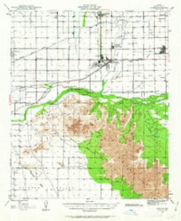
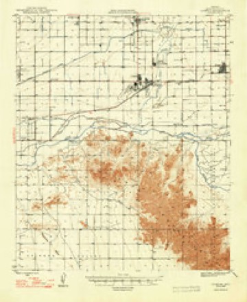
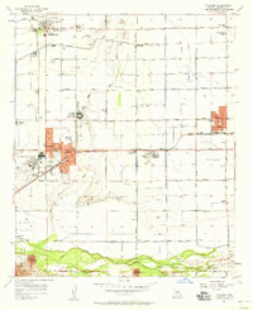
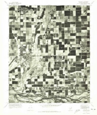
23 topographic sheets cover this place, the earliest surveyed in 1946 and the latest in 1981. It stands in the Phoenix census division. It lies in ZIP code area 85323. The Survey maps it on the Tolleson quadrangle. 89,334 people lived here at the 2020 count. It stands 974 feet above sea level.
On record in Avondale
Buildings and businesses the archive holds for this place. Each opens its own page, with the source record it came from.
On the National Register 1 record
Population over time
2 figuresAvondale grew from 76,238 to 89,334 between 2010 and 2020. These are the recorded population figures Wikidata holds for this place, reached through the Geographic Names Information System number this page is keyed on rather than by name, so they belong to this place and not to another of the same name. Most are census counts, but not all are: an early figure may be a founding or settlement estimate, and an estimate published within five years of a census is left out. The change column is computed, and is left blank where more than 20 years separate a figure from the one before it, because a gap that long is not a change between two counts.
| Year | People | Change |
|---|---|---|
| 2010 | 76,238 | |
| 2020 | 89,334 | +13,096 (+17%) |
Topographic sheets covering this place
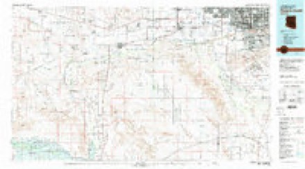
11 surveys from 23 printed sheetsMatched by testing this settlement's coordinate against the published boundary of every sheet in the United States Geological Survey's historical collection. Each opens the scanned sheet at the Survey.
- 1946 USGS Avondale quadrangle1:62500, 2 printings
- 1948 USGS Cashion quadrangle1:62500, 2 printings
- 1954 USGS Phoenix quadrangle1:250000, 5 printings
- 1957 USGS Phoenix quadrangle1:250000
- 1957 USGS Tolleson quadrangle1:24000, 5 printings
- 1958 USGS Phoenix quadrangle1:250000
- 1960 USGS Phoenix quadrangle1:250000
- 1969 USGS Phoenix quadrangle1:250000, 2 printings
- 1971 USGS Phoenix quadrangle1:250000
- 1971 USGS Tolleson quadrangle1:24000
- 1981 USGS Phoenix South quadrangle1:100000, 2 printings






Fires near this place
701 since 1992Regional context, not property-specific evidence. The federal wildfire occurrence database lists 701 fires within 5 miles of Avondale between 1992 and 2020, burning about 1,733 acres in total. 11 started naturally. 52 were recorded as arson. Distance is straight-line from the map coordinates, so a fire counted here may appear on a neighbouring settlement's page as well.
| Reported cause | Fires |
|---|---|
| Missing data/not specified/undetermined | 627 |
| Arson/incendiarism | 52 |
| Natural | 11 |
| Recreation and ceremony | 4 |
| Equipment and vehicle use | 3 |
| Fireworks | 1 |
| Debris and open burning | 1 |
| Power generation/transmission/distribution | 1 |
| Smoking | 1 |
The most recent of them, most recent first, with the day each was reported and the service that recorded it.
| Date | Cause | Size | Reported by | Name on the report |
|---|---|---|---|---|
| 7 September 2018 | Arson/incendiarism | under an acre | Avondale Fire and Medical Department | 232342 |
| 5 September 2018 | Missing data/not specified/undetermined | under an acre | Avondale Fire and Medical Department | 232270 |
| 4 September 2014 | Missing data/not specified/undetermined | under an acre | Arizona Department of Forestry and Fire Management - State Office | AZ-141150 |
| 4 September 2012 | Missing data/not specified/undetermined | under an acre | Arizona Department of Forestry and Fire Management - State Office | AZ-121872 |
| 30 September 2020 | Missing data/not specified/undetermined | under an acre | Arizona Department of Forestry and Fire Management - State Office | not named |
| 30 September 2015 | Missing data/not specified/undetermined | under an acre | Arizona Department of Forestry and Fire Management - State Office | 154016 |
| 3 September 2019 | Missing data/not specified/undetermined | under an acre | Avondale Fire and Medical Department | NOT NAMED |
| 28 September 2018 | Equipment and vehicle use | under an acre | Avondale Fire and Medical Department | 232983 |
Settlements close enough to share some of these fires:
Mines and quarries near this place
10 of 19 shownRegional context, not property-specific evidence. The federal mineral resources record lists 19 workings within 5 miles of Avondale: 8 past producers, 7 unknowns, 2 producers, 1 plant. 3 still produce. What was taken out: Sand and Gravel, Construction, Clay, Halite. Distance is straight-line from the map coordinates, so a quarry counted here may appear on a neighbouring settlement's page as well.
| Where | Site | Commodity | Status | Recorded |
|---|---|---|---|---|
| Building Products Co. | Clay | Plant | ||
| Solid Salt Occurrence | Halite | Occurrence | ||
| Allied Concrete Pit | Sand and Gravel, Construction | Unknown | ||
| Allied Concrete,Sand & Gravel Plant | Sand and Gravel, Construction | Producer | ||
| Blm Gravel Pit | Sand and Gravel, Construction | Unknown | ||
| Gravel Pit | Sand and Gravel, Construction | Unknown | ||
| Gravel Pit | Sand and Gravel, Construction | Unknown | ||
| Gravel Pit | Sand and Gravel, Construction | Unknown | ||
| Gravel Pit | Sand and Gravel, Construction | Unknown | ||
| Gravel Pit | Sand and Gravel, Construction | Unknown |
Storms near this place
12 since 1993Regional context, not property-specific evidence. The National Weather Service names Avondale in 12 storm reports between 1993 and 2025: 5 flood, 3 lightning, 2 thunderstorm wind, 2 flash flood. The reports record 1 injury. Each account below is quoted exactly as the forecast office filed it, from the NOAA Storm Events Database, and each date opens the federal record of that event.
| When | Event | Place named | Harm | What the report says |
|---|---|---|---|---|
| August 1993 | Thunderstorm Wind | Avondale | 1 hurt, $5,000,000 | Strong winds from nearby thunderstorms exceeded 50 mph in many areas of the Valley. Homes and businesses sustained damage, trees were uprooted and power lines were downed. Arizona Public Service reported 10,000 customers without power. An 8-year-old boy in Avondale was severely injured just after 1800 MST when a window burst and glass cut his jugular vein. The roof of a convenience store was blown off, as well as some damage to a church and an elementary school. A 1-mile section of a 69,000-volt power line near Perryville was knocked down. High winds blew tree limbs onto power poles and took shingles off several homes. |
| July 2025 | Lightning | Avondale | $100,000 | Broadcast media showed a large house fire from a lightning strike along the area of 121st Avenue and Southern Avenue in Tolleson with the fire causing severe damage. No injuries were reported. |
| August 2007 | Thunderstorm Wind | Avondale | $20,000 | Authorities in the Gila River Indian Community estimated winds as high as 80 mph. |
| October 2025 | Lightning | Avondale | $10,000 | Lightning strike resulted in a small house fire near the area of El Mirage and Lower Buckeye Roads in Avondale. Timing estimated from radar. No injuries reported. |
| June 2008 | Lightning | Avondale | $5,000 | The Ethan Fire was sparked by lightning on the 25th, and grew to over 5,000 acres several days later. Estimated cost to fight the fire was about $700,000. |
| July 2007 | Flash Flood | Avondale | $5,000 | A vehicle attempted to cross a flooded roadway and became stranded and quickly flipped over. Bystanders at nearby Phoenix International Raceway pulled four young people from the pickup. TV images showed the bystanders breaking out the windows, reaching inside the overturned pickup, and tossing the two young childrem to other rescuers. |
| March 2023 | Flood | Avondale | - | According to MCDOT, the unbridged Gila River crossing along El Mirage Road between Southern Avenue and Indian Springs Road was closed due to flooding beginning on the 14th and continued into April. Timing based on water releases from Granite Reef Dam. |
| March 2023 | Flood | Avondale | - | A man was swept away after attempting to walk through the flooded unbridged El Mirage Road crossing that goes through the normally dry Gila River between Southern Avenue and Indian Springs Road. The man was walking through the water while carrying his bicycle when he was swept away on the 17th. The man was successfully rescued with no injuries reported. Event timing is based on Granite Reef Dam releases. |
| March 2023 | Flood | Avondale | - | Two people were rescued after driving around road closure barricades and attempting to drive through a flooded roadway with a recreational vehicle. While attempting to cross the flooded roadway, the recreational vehicle was swept off the road. The incident occurred around 2100 MST on the 30th at the unbridged El Mirage Road crossing that goes through the normally dry Gila River between Southern Avenue and Indian Springs Road. The two people were safely rescued by the fire department via helicopter. No injuries were reported. Event timing is based on Granite Reef Dam releases. |
| March 2023 | Flood | Avondale | - | Buckeye Fire Department performed a water rescue at the unbridged Gila River crossing along El Mirage Road between Southern Avenue and Indian Springs Road on the 18th. The exact details surrounding the water rescue are unknown. The road had been closed since the 14th due to the elevated flow in the river. Event timing is based on releases from Granite Reef Dam. |
| April 2023 | Flood | Avondale | - | According to MCDOT, the unbridged Gila River crossing along El Mirage Road between Southern Avenue and Indian Springs Road was closed due to flooding beginning on March 14th and continuing into April. End timing based on upstream FCDMC stream gauge along the Gila River at 116th Avenue. |
| August 2021 | Flash Flood | Avondale | - | A streamflow gage on the Agua Fria River at Buckeye Road exceeded alarm stage at 0241MST with peak flow of 1932 cfs and a crest height of 0.79 feet. Impacts to the low water crossing at Lower Buckeye Road are common with this flow level, but no impacts were reported. No damages or injuries were reported. |
Nearest settlements
The eight closest, with where each one stands in the county. Distances are straight-line, computed from the Geographic Names Information System coordinates.
| Map | Place | Distance | Sheets |
|---|---|---|---|
| Goodyear | 0.5 miles | 23 | |
| Litchfield | 0.7 miles | 23 | |
| Country Villa | 0.7 miles | 23 | |
| Winnwood Homes | 1.0 miles | 23 | |
| Litchfield Junction | 1.1 miles | 23 | |
| Estrella Camp | 1.6 miles | 23 | |
| Cashion | 2.7 miles | 23 | |
| Litchfield Park | 4.0 miles | 23 |
Elsewhere
Matched on this settlement's Geographic Names Information System number rather than its name, so it cannot be a different place of the same name in another state.
| Wikipedia article on Avondale | An encyclopaedic summary. Its text is share-alike, so it is linked here rather than copied. |
| Wikidata item Q79449 | The structured record the population and elevation above come from. Public domain (CC0). |
Provenance
This settlement is recorded in the Geographic Names Information System as feature 895. The sheet list is computed by point-in-boundary test against the United States Geological Survey's historical topographic inventory. Both are works of the United States government and carry no copyright under 17 U.S.C. 105.
Wildfire. Short, Karen C. 2022. Spatial wildfire occurrence data for the United States, 1992-2020 [FPA_FOD_20221014]. 6th Edition. Fort Collins, CO: Forest Service Research Data Archive. https://doi.org/10.2737/RDS-2013-0009.6 Collected with United States Government funding and usable without additional permissions or fees.
Mines and quarries. USGS Mineral Resources Data System (MRDS) https://mrdata.usgs.gov/mrds/ A work of the United States government, no copyright under 17 U.S.C. 105.
Storms. NOAA National Centers for Environmental Information, Storm Events Database https://www.ncei.noaa.gov/stormevents/ A work of the United States government, no copyright under 17 U.S.C. 105. Narratives are quoted verbatim from the National Weather Service report and are not edited or summarised.