 Block
Cashion, Arizona
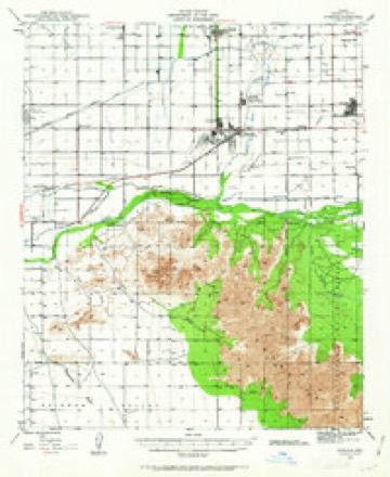
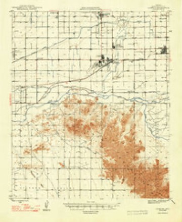
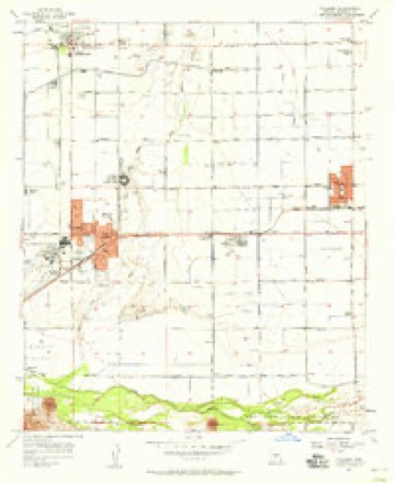
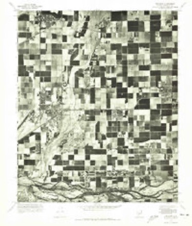
23 topographic sheets cover this place, the earliest surveyed in 1946 and the latest in 1981. It stands in the Phoenix census division. The Survey maps it on the Tolleson quadrangle.
Topographic sheets covering this place
11 surveys from 23 printed sheetsMatched by testing this settlement's coordinate against the published boundary of every sheet in the United States Geological Survey's historical collection. Each opens the scanned sheet at the Survey.
- 1946 USGS Avondale quadrangle1:62500, 2 printings
- 1948 USGS Cashion quadrangle1:62500, 2 printings
- 1954 USGS Phoenix quadrangle1:250000, 5 printings
- 1957 USGS Phoenix quadrangle1:250000
- 1957 USGS Tolleson quadrangle1:24000, 5 printings
- 1958 USGS Phoenix quadrangle1:250000
- 1960 USGS Phoenix quadrangle1:250000
- 1969 USGS Phoenix quadrangle1:250000, 2 printings
- 1971 USGS Phoenix quadrangle1:250000
- 1971 USGS Tolleson quadrangle1:24000
- 1981 USGS Phoenix South quadrangle1:100000, 2 printings






Photographs
1 photograph, 1913Taken for the Office of War Information and the Farm Security Administration, who photographed the country between 1935 and 1944. Works of United States government photographers, with no known restriction on use. Each opens its catalogue record.
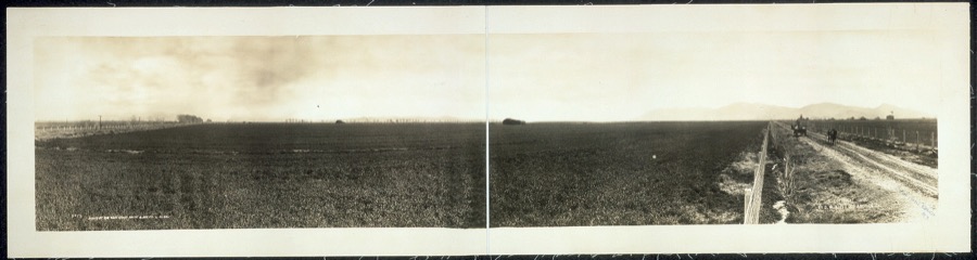
West Coast Art Co., photographer, 1913. Library of Congress
Fires near this place
1,052 since 1992Regional context, not property-specific evidence. The federal wildfire occurrence database lists 1,052 fires within 5 miles of Cashion between 1992 and 2020, burning about 3,218 acres in total. 15 started naturally. 79 were recorded as arson. Distance is straight-line from the map coordinates, so a fire counted here may appear on a neighbouring settlement's page as well.
| Reported cause | Fires |
|---|---|
| Missing data/not specified/undetermined | 921 |
| Arson/incendiarism | 79 |
| Natural | 15 |
| Debris and open burning | 14 |
| Equipment and vehicle use | 11 |
| Recreation and ceremony | 6 |
| Power generation/transmission/distribution | 3 |
| Railroad operations and maintenance | 1 |
| Fireworks | 1 |
| Smoking | 1 |
The most recent of them, most recent first, with the day each was reported and the service that recorded it.
| Date | Cause | Size | Reported by | Name on the report |
|---|---|---|---|---|
| 9 September 2000 | Missing data/not specified/undetermined | 4.2 acres | Pima Agency | EARLY |
| 8 September 2015 | Missing data/not specified/undetermined | under an acre | Arizona Department of Forestry and Fire Management - State Office | 154832 |
| 7 September 2018 | Arson/incendiarism | under an acre | Avondale Fire and Medical Department | 232342 |
| 6 September 2015 | Missing data/not specified/undetermined | under an acre | Arizona Department of Forestry and Fire Management - State Office | 155244 |
| 5 September 2018 | Missing data/not specified/undetermined | under an acre | Avondale Fire and Medical Department | 232270 |
| 5 September 2012 | Missing data/not specified/undetermined | under an acre | Arizona Department of Forestry and Fire Management - State Office | AZ-121611 |
| 5 September 2011 | Missing data/not specified/undetermined | under an acre | Arizona Department of Forestry and Fire Management - State Office | AZ-111659 |
| 5 September 2010 | Missing data/not specified/undetermined | under an acre | Arizona Department of Forestry and Fire Management - State Office | AZ-101893 |
Settlements close enough to share some of these fires:
Mines and quarries near this place
10 of 21 shownRegional context, not property-specific evidence. The federal mineral resources record lists 21 workings within 5 miles of Cashion: 8 past producers, 8 unknowns, 4 producers, 1 plant. 5 still produce. What was taken out: Sand and Gravel, Construction, Brick Clay, Clay. Distance is straight-line from the map coordinates, so a quarry counted here may appear on a neighbouring settlement's page as well.
| Where | Site | Commodity | Status | Recorded |
|---|---|---|---|---|
| Building Products Co. | Clay | Plant | ||
| Tolleson Mine | Brick Clay | Producer | Clay | |
| Agua Fria Pit National S&G | Sand and Gravel, Construction | Producer | ||
| Allied Concrete Pit | Sand and Gravel, Construction | Unknown | ||
| Allied Concrete,Sand & Gravel Plant | Sand and Gravel, Construction | Producer | ||
| Blm Gravel Pit | Sand and Gravel, Construction | Unknown | ||
| Gravel Pit | Sand and Gravel, Construction | Unknown | ||
| Gravel Pit | Sand and Gravel, Construction | Unknown | ||
| Gravel Pit | Sand and Gravel, Construction | Unknown | ||
| Gravel Pit | Sand and Gravel, Construction | Unknown |
Storms near this place
12 since 1994Regional context, not property-specific evidence. The National Weather Service names Cashion in 12 storm reports between 1994 and 2024: 8 thunderstorm wind, 2 hail, 2 flood. The reports record 9 injuries. Each account below is quoted exactly as the forecast office filed it, from the NOAA Storm Events Database, and each date opens the federal record of that event.
| When | Event | Place named | Harm | What the report says |
|---|---|---|---|---|
| September 1994 | Thunderstorm Wind | Cashion | 9 hurt, $5,000,000 | A micro burst struck a school building at the Littleton Elementary School in the community of Cashion, two miles SW of Tolleson. The roof was torn off about eight classrooms with one teacher and eight children being injured. A National Weather Service Storm Survey Team estimated winds of 100 mph. A teacher reported the ground covered with hail, some golf ball-size. A weather spotter at 75th Avenue and Camelback Road reported 1.25 hail. A mile long stretch of power poles were downed near 107th Avenue and Interstate 10. Damage to the school was estimated in excess of $500,000. |
| October 2010 | Hail | Cashion | $900,000,000 | Hailstorm moved from southwest to northeast across the central Phoenix area. Hail up to 1.5 diameter fell in this swath. The hail broke hundreds of skylights and damaged roofs and cars from southwest Phoenix, to north central Phoenix, to Carefree. |
| March 2023 | Flood | Cashion | $15,000 | Two people became stranded on top of their vehicle in the Salt River along 91st Avenue near Baseline Road after attempting to cross through the flooded roadway. The initial call for help occurred on the 17th around 1845 MST. They were safely rescued by the fire department via helicopter. No injuries were reported. Event timing is based on releases from Granite Reef Dam. |
| August 2021 | Thunderstorm Wind | Cashion | $2,000 | Pictures on social media show multiple snapped tree due to strong downburst winds. Wind speeds estimated around 55 to 60 mph. Timing based on radar. No injuries were reported. |
| October 2018 | Flood | Cashion | $2,000 | Copious amounts of tropical moisture spread north into the greater Phoenix area during the morning hours on October 2nd; the moisture was associated with former hurricane Rosa. The moisture led to the development of widespread moderate to heavy showers which resulted in flash flooding during the morning hours across much of the western Phoenix area, including communities such as Avondale and Goodyear. By late morning flash flooding gave way to areal flooding and many roads became closed due to the flooding. According to a local emergency manager, at 1315MST Lower Buckeye Road was closed at the Agua Fria River due to flooding. This was about 1 mile east of Avondale. An Areal Flood Warning had been in effect for the area earlier and it expired at 1315MST. The flooding persisted into the afternoon; fortunately no accidents were reported. |
| July 2024 | Thunderstorm Wind | Cashion | - | A mesonet site located at the Phoenix International Raceway in Avondale measured a 66 mph wind gust. |
| July 2024 | Thunderstorm Wind | Cashion | - | A mesonet station located at the Phoenix Raceway in Avondale measured a 59 mph wind gust. |
| August 2023 | Thunderstorm Wind | Cashion | - | A mesonet station located at the Phoenix International Raceway in Avondale measured a 68 mph gust. |
| August 2023 | Thunderstorm Wind | Cashion | - | A 65 mph wind gust was measured at a mesonet station located at the Phoenix International Raceway in Avondale. |
| August 2023 | Thunderstorm Wind | Cashion | - | A 58 mph wind gust was measured at a mesonet station located in the area of South Avondale Boulevard and West Coldwater Springs Boulevard in Avondale. |
| September 1994 | Hail | Cashion | - | A micro burst struck a school building at the Littleton Elementary School in the community of Cashion, two miles SW of Tolleson. The roof was torn off about eight classrooms with one teacher and eight children being injured. A National Weather Service Storm Survey Team estimated winds of 100 mph. A teacher reported the ground covered with hail, some golf ball-size. A weather spotter at 75th Avenue and Camelback Road reported 1.25 hail. A mile long stretch of power poles were downed near 107th Avenue and Interstate 10. Damage to the school was estimated in excess of $500,000. |
| September 1996 | Thunderstorm Wind | Cashion | - | no account filed |
Nearest settlements
The eight closest, with where each one stands in the county. Distances are straight-line, computed from the Geographic Names Information System coordinates.
| Map | Place | Distance | Sheets |
|---|---|---|---|
| Country Villa | 2.2 miles | 23 | |
| Tolleson | 2.3 miles | 23 | |
| Winnwood Homes | 2.5 miles | 23 | |
| Avondale | 2.7 miles | 23 | |
| Litchfield | 3.1 miles | 23 | |
| Goodyear | 3.2 miles | 23 | |
| Litchfield Junction | 3.5 miles | 23 | |
| Estrella Camp | 4.2 miles | 23 |
Provenance
This settlement is recorded in the Geographic Names Information System as feature 2511. The sheet list is computed by point-in-boundary test against the United States Geological Survey's historical topographic inventory. Both are works of the United States government and carry no copyright under 17 U.S.C. 105.
Wildfire. Short, Karen C. 2022. Spatial wildfire occurrence data for the United States, 1992-2020 [FPA_FOD_20221014]. 6th Edition. Fort Collins, CO: Forest Service Research Data Archive. https://doi.org/10.2737/RDS-2013-0009.6 Collected with United States Government funding and usable without additional permissions or fees.
Mines and quarries. USGS Mineral Resources Data System (MRDS) https://mrdata.usgs.gov/mrds/ A work of the United States government, no copyright under 17 U.S.C. 105.
Storms. NOAA National Centers for Environmental Information, Storm Events Database https://www.ncei.noaa.gov/stormevents/ A work of the United States government, no copyright under 17 U.S.C. 105. Narratives are quoted verbatim from the National Weather Service report and are not edited or summarised.