 Block
Bellemont, Arizona
31 topographic sheets cover this place, the earliest surveyed in 1886 and the latest in 1982. It stands in the Flagstaff census division. It lies in ZIP code area 86015. It stands on Volunteer Wash. The Survey maps it on the Bellemont quadrangle. 1,167 people lived here at the 2020 count. It stands 7,132 feet above sea level.
On record in Bellemont
Buildings and businesses the archive holds for this place. Each opens its own page, with the source record it came from.
On the National Register 1 record
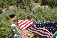 Volunteer Lookout Cabinlisted 1988
Topographic sheets covering this place
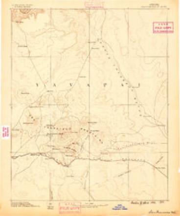
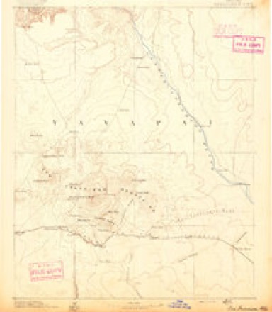
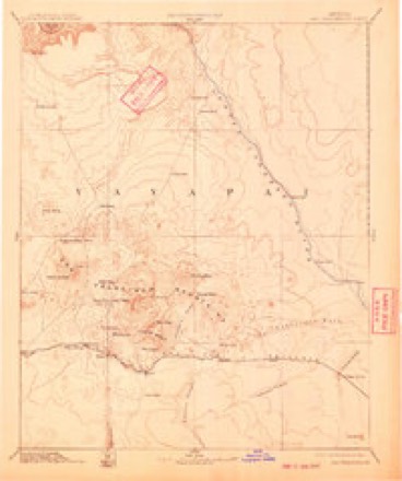
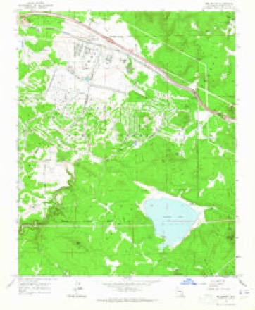
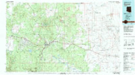
13 surveys from 31 printed sheetsMatched by testing this settlement's coordinate against the published boundary of every sheet in the United States Geological Survey's historical collection. Each opens the scanned sheet at the Survey.
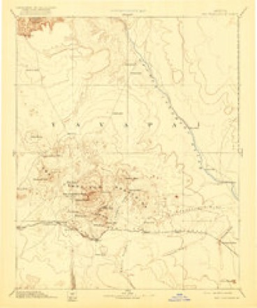
- 1886 USGS San Francisco Mtns quadrangle1:250000
- 1891 USGS San Francisco Mtns quadrangle1:250000
- 1894 USGS San Francisco Mtns quadrangle1:250000, 5 printings
- 1899 USGS San Francisco Mtns quadrangle1:250000
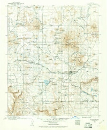
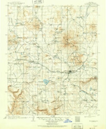
- 1908 USGS Flagstaff quadrangle1:125000
- 1912 USGS Flagstaff quadrangle1:125000, 5 printings
- 1947 USGS Flagstaff quadrangle1:250000, 2 printings
- 1954 USGS Flagstaff quadrangle1:250000, 3 printings
- 1958 USGS Flagstaff quadrangle1:250000
- 1960 USGS Flagstaff quadrangle1:250000, 2 printings
- 1962 USGS Flagstaff quadrangle1:250000
- 1963 USGS Bellemont quadrangle1:24000, 6 printings
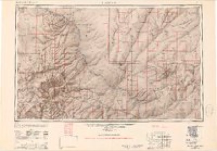
- 1982 USGS Flagstaff quadrangle1:100000, 2 printings
Fires near this place
240 since 1992Regional context, not property-specific evidence. The federal wildfire occurrence database lists 240 fires within 5 miles of Bellemont between 1992 and 2020, burning about 1,845 acres in total. 141 started naturally. 3 were recorded as arson. Distance is straight-line from the map coordinates, so a fire counted here may appear on a neighbouring settlement's page as well.
| Reported cause | Fires |
|---|---|
| Natural | 141 |
| Recreation and ceremony | 48 |
| Missing data/not specified/undetermined | 33 |
| Smoking | 6 |
| Debris and open burning | 4 |
| Arson/incendiarism | 3 |
| Equipment and vehicle use | 2 |
| Misuse of fire by a minor | 2 |
| Railroad operations and maintenance | 1 |
The most recent of them, most recent first, with the day each was reported and the service that recorded it.
| Date | Cause | Size | Reported by | Name on the report |
|---|---|---|---|---|
| 8 September 2008 | Recreation and ceremony | under an acre | Kaibab National Forest | BRANNIGAN |
| 8 September 1995 | Natural | under an acre | Coconino National Forest | MAXWELL |
| 7 September 2013 | Natural | under an acre | Coconino National Forest | MIAMI |
| 4 September 1999 | Natural | under an acre | Coconino National Forest | SURPRISE |
| 4 September 1996 | Natural | 2.0 acres | Arizona Department of Forestry and Fire Management - State Office | not named |
| 30 September 2011 | Natural | under an acre | Coconino National Forest | LATE |
| 29 September 2005 | Recreation and ceremony | under an acre | Coconino National Forest | NOSE |
| 26 September 1998 | Recreation and ceremony | under an acre | Coconino National Forest | PONTOON |
Settlements close enough to share some of these fires:
Mines and quarries near this place
10 of 21 shownRegional context, not property-specific evidence. The federal mineral resources record lists 21 workings within 5 miles of Bellemont: 11 past producers, 9 unknowns, 1 occurrence. None of them still produces. What was taken out: Volcanic Materials, Pumice, Perlite. Distance is straight-line from the map coordinates, so a quarry counted here may appear on a neighbouring settlement's page as well.
| Where | Site | Commodity | Status | Recorded |
|---|---|---|---|---|
| Pit 1042 | Perlite | Past Producer | ||
| Cinder Pit | Pumice | Unknown | ||
| Cinder Pit | Pumice | Unknown | ||
| Cinder Pit | Pumice | Unknown | ||
| Cinder Pit | Pumice | Unknown | ||
| Cinder Pit | Pumice | Unknown | ||
| Cinder Pit | Pumice | Unknown | ||
| Cinder Pit | Pumice | Unknown | ||
| Cinder Pit | Pumice | Unknown | ||
| Cinder Pit | Pumice | Unknown |
Storms near this place
19 since 1998Regional context, not property-specific evidence. The National Weather Service names Bellemont in 19 storm reports between 1998 and 2024: 6 hail, 3 tornado, 3 heavy rain, 2 thunderstorm wind. The reports record 19 injuries. Each account below is quoted exactly as the forecast office filed it, from the NOAA Storm Events Database, and each date opens the federal record of that event.
| When | Event | Place named | Harm | What the report says |
|---|---|---|---|---|
| October 2010 | Tornado (EF2) | Bellemont | 7 hurt, $1,000,000 | Considerable structural damage in and around the community of Bellemont; significant forest damage and treefall in forest north and south of Bellemont. This tornado was from the same storm that produced Tornado #2. Aerial and ground surveys verified a semi-continuous tornado path from 8 miles south of Bellemont, extending northward for 26 miles, crossing Interstate 40 and Highway 180 (three times- near mileposts 230, 234, and 240). Tornado passed 2/3 mile east of the NWS Bellemont Weather Forecast office. Damage from this tornado included:|-7 minor injuries.|-Over 100 homes damaged in Bellemont, 21 homes sustaining significant damage (deemed uninhabitable).|-At least one business (RV Sales) with damage with 30+ RV units demolished and tossed onto Interstate 40. Interstate closed for several hours.|-At least one overturned truck on the Interstate.|-Numerous forest roads blocked, campers stranded by fallen trees. |-Around 75 power poles knocked down. |
| July 2017 | Lightning | Bellemont | 7 hurt | Lightning struck and injured seven military personnel while they were working on a grounded helicopter on Camp Navajo Army Depot. All seven were treated and released. |
| October 2024 | Hail | Bellemont | 5 hurt | BB to pea sized hail covered the ground and Interstate 40 an inch or two deep. At least |seven vehicles slid off the road. Several vehicles crashed into each other. |
| July 2023 | Lightning | Bellemont | $600,000 | Lightning from a Monsoon thunderstorm destroyed a house in Baderville, north of Flagstaff Monday. Summit Fire and Medical crews arrived at the home just after 12:30 p.m. on a report of the roof of the home on fire. As crews got closer to the scene, firefighters could see smoke from Highway 180 and the fire was moved to a first alarm. Initial crews arrived to find heavy smoke coming from the attic of the home. More crews arrived to work the fire, including two water tenders. In all a total of 11 units and two battalion chiefs responded to the fire. There were no injuries to civilians or fire personnel and the home is a total loss (KAFF Country News). |
| October 2010 | Thunderstorm Wind | Bellemont | $10,000 | Siding was blown off houses and into cars. At least two trees were blown down. |
| April 2023 | Flood | Bellemont | - | The Rio de Flag overflowed along Dupont Avenue, Ellery Avenue, and Riles Street due to melting snow. |
| July 2021 | Heavy Rain | Bellemont | - | A thunderstorm produced between 2.55 and 2.71 inches of rain near Hart Prairie. |
| July 2021 | Hail | Bellemont | - | One inch diameter hail fell along Snowbowl Road. |
| July 2021 | Heavy Rain | Bellemont | - | A thunderstorm produce 2.55 inches of rain near Hart Prairie. |
| August 2020 | Hail | Bellemont | - | Facebook and Twitter pictures show nickel to quarter (0.88 to 1.00) inch hail along Hart Prairie Road and Highway 180. |
| July 2013 | Heavy Rain | Bellemont | - | Heavy rain (2.25 inches) from a thunderstorm fell in Fort Valley. Hail 1/4 inch in diameter also fell during the thunderstorm. |
| August 2010 | Flash Flood | Bellemont | - | Water flowed over Snowbowl Road near the ski lodge. No significant damage was reported. |
| July 2007 | Thunderstorm Wind | Bellemont | - | A thunderstorm produced wind gusts to 60 MPH at the NWS office in Bellemont. |
| October 2006 | Tornado (F1) | Bellemont | - | A severe thunderstorm produced a tornado that tracked about 9 miles along the Western Mogollon Rim. A NWS storm servey revield extensive tree damage along the 9 mile path. Ten to twenty percent of the ponderosa pine trees along the path were damaged. Very large trees were snapped off at ground level and deposited some distance with no drag marks. This tornado was generally F0. A small section of the damage path exhibited upper-end F1 to lower-end F2 damage. The end of the damage path ended about two miles south-southwest of WFO Flagstaff. |
| August 2004 | Hail | Bellemont | - | 3/4 inch diameter hail was reported on the south side of Camp Navajo Army Depot in Bellemont. |
| September 2003 | Tornado (F0) | Bellemont | - | A tornado was observed about 2 miles north of the National Weather Service office in Bellemont. The tornado moved northeast though an unpopulated ponderosa pine forest. The tornado crossed several Forest Service roads and Highway 180 and knocked trees across these roads. It is estimated that over a hundred trees were uprooted or snapped off. Some of the tress were over 2 feet in diameter. The tree damage was intermittent along the whole 4 1/2 mile path. Less than 10% of the tornado path had damage. |
| July 2001 | Hail | Bellemont | - | An off duty NWS employee reported 3/4 inch hail on I-40 seven miles west of Flagstaff (three miles east of Bellemont). |
| July 2000 | Wildfire | Bellemont | - | Lightning started a forest fire about 3 miles north of Bellemont (10 miles northwest of Flagstaff) on July 24. The Pipe Fire burned 600 acers of dense ponderosa pine. Air tankers, helicopters, and about 300 people contained the fire by the evening of July 27. |
| August 1998 | Hail | Bellemont | - | One inch diameter hail was observed at the NWS office at Bellemont. |
Nearest settlements
The eight closest, with where each one stands in the county. Distances are straight-line, computed from the Geographic Names Information System coordinates.
| Map | Place | Distance | Sheets |
|---|---|---|---|
| Maine | 5.7 miles | 29 | |
| Riordan | 6.0 miles | 30 | |
| Parks | 6.3 miles | 29 | |
| Fort Tuthill | 9.9 miles | 30 | |
| Flagstaff | 10.0 miles | 30 | |
| Chalender | 10.2 miles | 22 | |
| Cogdill Center | 10.7 miles | 30 | |
| Sherwood Forest Estates | 11.2 miles | 22 |
Elsewhere
Matched on this settlement's Geographic Names Information System number rather than its name, so it cannot be a different place of the same name in another state.
| Wikipedia article on Bellemont | An encyclopaedic summary. Its text is share-alike, so it is linked here rather than copied. |
| Wikidata item Q4883794 | The structured record the population and elevation above come from. Public domain (CC0). |
Provenance
This settlement is recorded in the Geographic Names Information System as feature 26201. The sheet list is computed by point-in-boundary test against the United States Geological Survey's historical topographic inventory. Both are works of the United States government and carry no copyright under 17 U.S.C. 105.
Wildfire. Short, Karen C. 2022. Spatial wildfire occurrence data for the United States, 1992-2020 [FPA_FOD_20221014]. 6th Edition. Fort Collins, CO: Forest Service Research Data Archive. https://doi.org/10.2737/RDS-2013-0009.6 Collected with United States Government funding and usable without additional permissions or fees.
Mines and quarries. USGS Mineral Resources Data System (MRDS) https://mrdata.usgs.gov/mrds/ A work of the United States government, no copyright under 17 U.S.C. 105.
Storms. NOAA National Centers for Environmental Information, Storm Events Database https://www.ncei.noaa.gov/stormevents/ A work of the United States government, no copyright under 17 U.S.C. 105. Narratives are quoted verbatim from the National Weather Service report and are not edited or summarised.