 Block
Flagstaff, Arizona
30 topographic sheets cover this place, the earliest surveyed in 1886 and the latest in 1982. It stands in the Flagstaff census division. It lies in ZIP code area 86001. It lies near Mars Hill. The Survey maps it on the Flagstaff West quadrangle. 76,831 people lived here at the 2020 count. It stands 6,909 feet above sea level.
Research this city
On record in Flagstaff
Buildings and businesses the archive holds for this place. Each opens its own page, with the source record it came from.
On the National Register 12 of 51 shown
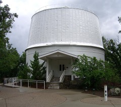 Lowell ObservatoryNational Historic Landmark · listed 1966
- C. Hart Merriam Base Camp SiteNational Historic Landmark · listed 1966
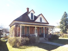 Ashurst Houselisted 1984
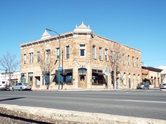 Bank Hotellisted 1977
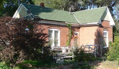 Brannen-Devine Houselisted 1986
 C & M Garagelisted 1986
 H. E. Campbell Houselisted 1986
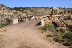 Canyon Padre Bridgelisted 1988
 J. M. Clark Houselisted 1984
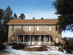 Coconino County Hospital Complexlisted 1986
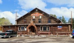 Dean Eldredge Museumlisted 1994
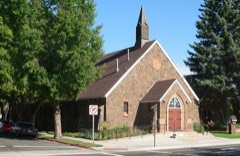 First Baptist Churchlisted 1991
Every listing in Coconino County
Surveyed buildings and structures 12 of 13 shown
- Lowell Observatory, 1400 West Mars Hill Road, Flagstafffederal building survey, 3 photographs
- Lowell Observatory, Clark Dome, 1400 West Mars Road, Flagstafffederal building survey, 12 photographs
- Lowell Observatory, Lodge, Flagstafffederal building survey, 1 photograph
- Lowell Observatory, Mausoleum, Flagstafffederal building survey, 2 photographs
- Lowell Observatory, Pluto Dome, 1400 West Mars Road, Flagstafffederal building survey, 11 photographs
- Lowell Observatory, Slipher Building, 1400 West Mars Road, Flagstafffederal building survey, 22 photographs
- Lowell Observatory, Water Tank, Flagstafffederal building survey, 1 photograph
- U. S. Geological Survey Center of Astrogeology, Building No. 1, Flagstaff Field Center, 2255 North Gemini Drive, Flagstafffederal building survey, 3 photographs
- U.S. Geological Survey Center of Astrogeology, Photolab, 2255 North Gemini Drive, Flagstafffederal building survey, 1 photograph
- Wupatki, Ball Court, U.S. Highway 89, Loop Road, Flagstafffederal building survey, 3 photographs
- Wupatki, Citadel Ruin, U.S. Highway 89, Loop Road, Flagstafffederal building survey, 1 photograph
- Wupatki, Wukoki Ruin, U.S. Highway 89, Loop Road, Flagstafffederal building survey, 1 photograph
Population over time
14 figuresFlagstaff grew from 964 to 76,831 between 1890 and 2020. These are the recorded population figures Wikidata holds for this place, reached through the Geographic Names Information System number this page is keyed on rather than by name, so they belong to this place and not to another of the same name. Most are census counts, but not all are: an early figure may be a founding or settlement estimate, and an estimate published within five years of a census is left out. The change column is computed, and is left blank where more than 20 years separate a figure from the one before it, because a gap that long is not a change between two counts.
| Year | People | Change |
|---|---|---|
| 1890 | 964 | |
| 1900 | 1,271 | +307 (+32%) |
| 1910 | 1,633 | +362 (+28%) |
| 1920 | 3,186 | +1,553 (+95%) |
| 1930 | 3,891 | +705 (+22%) |
| 1940 | 5,080 | +1,189 (+31%) |
| 1950 | 7,663 | +2,583 (+51%) |
| 1960 | 18,214 | +10,551 (+138%) |
| 1970 | 26,117 | +7,903 (+43%) |
| 1980 | 34,743 | +8,626 (+33%) |
| 1990 | 45,857 | +11,114 (+32%) |
| 2000 | 52,894 | +7,037 (+15%) |
| 2010 | 65,870 | +12,976 (+25%) |
| 2020 | 76,831 | +10,961 (+17%) |
Topographic sheets covering this place
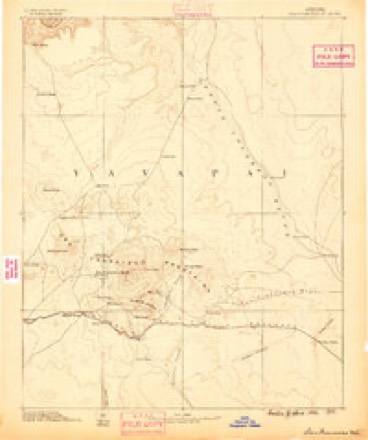
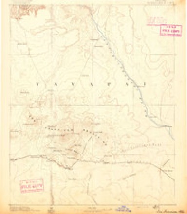
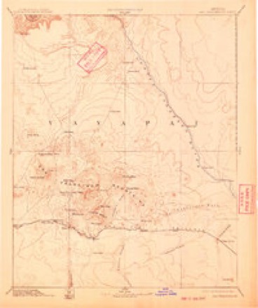
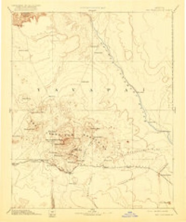
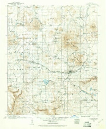
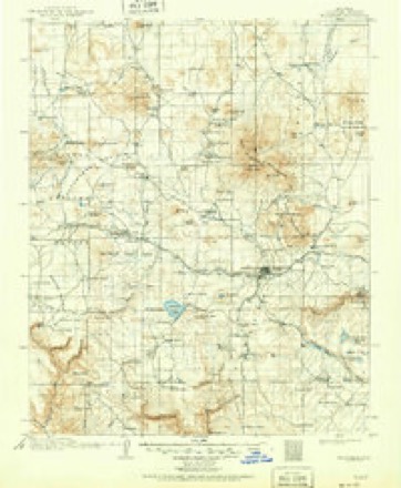
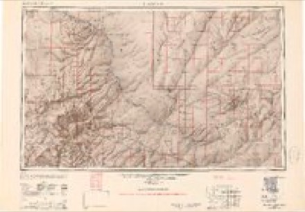
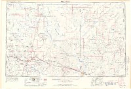
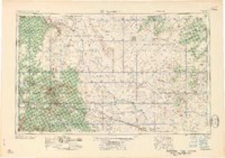
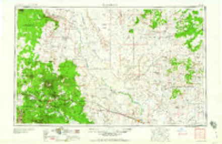
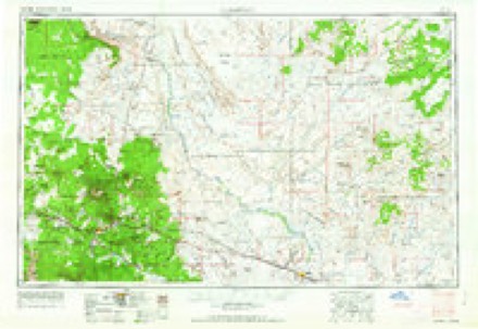
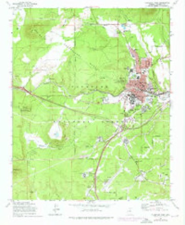
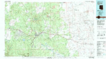
13 surveys from 30 printed sheetsMatched by testing this settlement's coordinate against the published boundary of every sheet in the United States Geological Survey's historical collection. Each opens the scanned sheet at the Survey.
- 1886 USGS San Francisco Mtns quadrangle1:250000
- 1891 USGS San Francisco Mtns quadrangle1:250000
- 1894 USGS San Francisco Mtns quadrangle1:250000, 5 printings
- 1899 USGS San Francisco Mtns quadrangle1:250000
- 1908 USGS Flagstaff quadrangle1:125000
- 1912 USGS Flagstaff quadrangle1:125000, 5 printings
- 1947 USGS Flagstaff quadrangle1:250000, 2 printings
- 1954 USGS Flagstaff quadrangle1:250000, 3 printings
- 1958 USGS Flagstaff quadrangle1:250000
- 1960 USGS Flagstaff quadrangle1:250000, 2 printings
- 1962 USGS Flagstaff quadrangle1:250000
- 1962 USGS Flagstaff West quadrangle1:24000, 5 printings
- 1982 USGS Flagstaff quadrangle1:100000, 2 printings
Photographs
8 of 22 photographs shown, 1943 to 2018Taken for the Office of War Information and the Farm Security Administration, who photographed the country between 1935 and 1944. Works of United States government photographers, with no known restriction on use. Each opens its catalogue record.
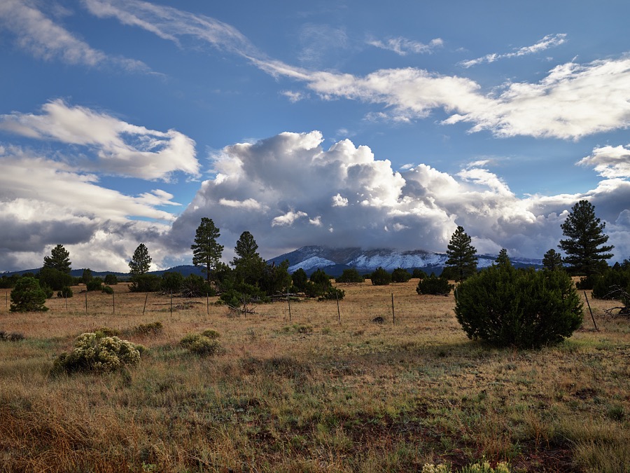
Highsmith, Carol M, 2018. Library of Congress
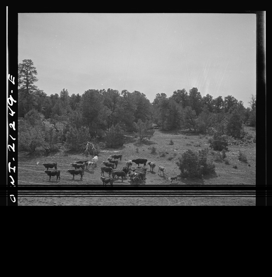
Delano, Jack, 1943. Library of Congress
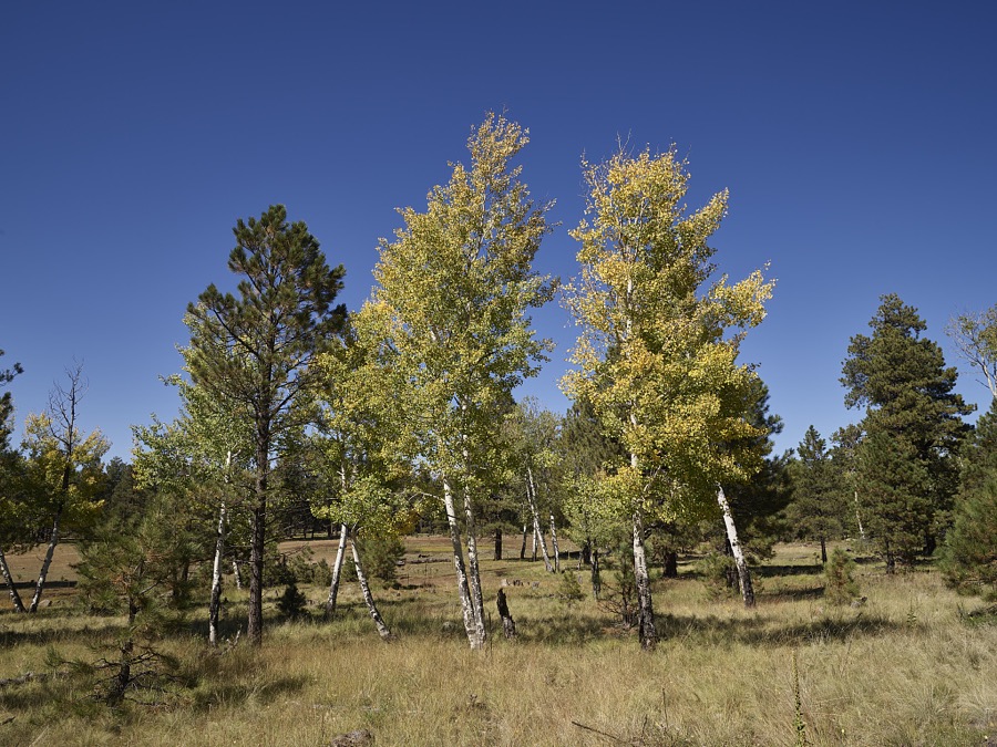
Highsmith, Carol M, 2018. Library of Congress
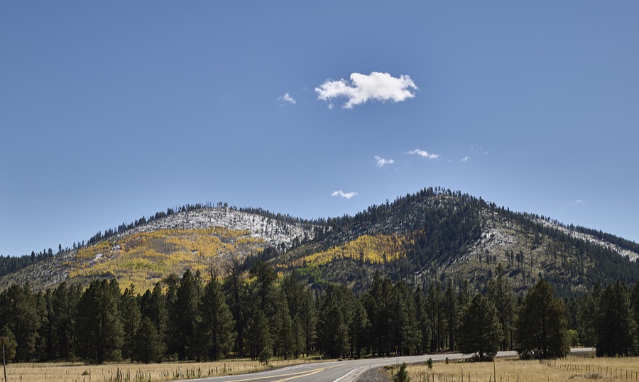
Highsmith, Carol M, 2018. Library of Congress
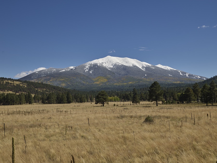
Highsmith, Carol M, 2018. Library of Congress
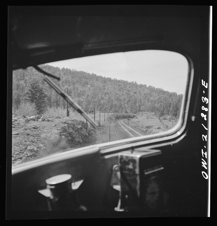
Delano, Jack, 1943. Library of Congress
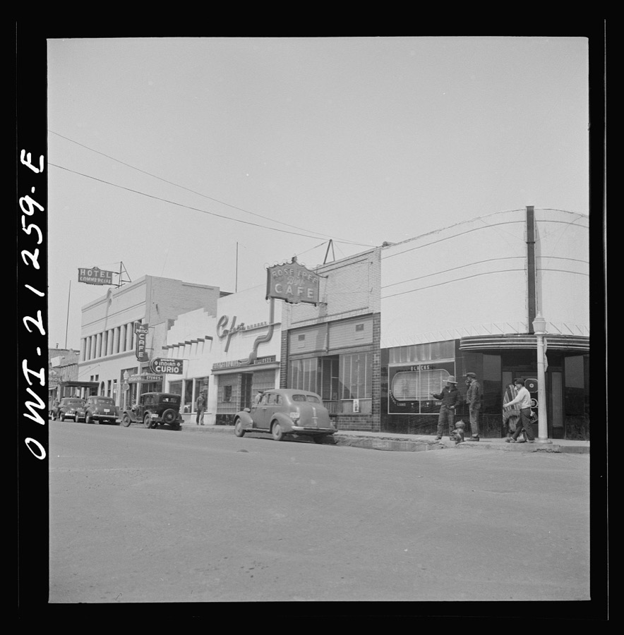
Delano, Jack, 1943. Library of Congress
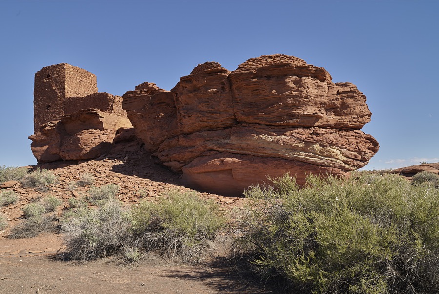
Highsmith, Carol M, 2018. Library of Congress
Every photograph of Coconino County
Fires near this place
889 since 1992Regional context, not property-specific evidence. The federal wildfire occurrence database lists 889 fires within 5 miles of Flagstaff between 1992 and 2020, burning about 3,138 acres in total. 195 started naturally. 30 were recorded as arson. Distance is straight-line from the map coordinates, so a fire counted here may appear on a neighbouring settlement's page as well.
| Reported cause | Fires |
|---|---|
| Missing data/not specified/undetermined | 386 |
| Recreation and ceremony | 227 |
| Natural | 195 |
| Arson/incendiarism | 30 |
| Smoking | 21 |
| Misuse of fire by a minor | 12 |
| Equipment and vehicle use | 5 |
| Debris and open burning | 5 |
| Power generation/transmission/distribution | 4 |
| Fireworks | 2 |
| Railroad operations and maintenance | 2 |
The most recent of them, most recent first, with the day each was reported and the service that recorded it.
| Date | Cause | Size | Reported by | Name on the report |
|---|---|---|---|---|
| 8 September 2000 | Recreation and ceremony | under an acre | Coconino National Forest | PUEBLO |
| 8 September 1995 | Natural | under an acre | Coconino National Forest | FAREWELL |
| 8 September 1993 | Recreation and ceremony | under an acre | Coconino National Forest | not named |
| 7 September 2003 | Natural | under an acre | Coconino National Forest | BOLD |
| 7 September 1993 | Recreation and ceremony | under an acre | Coconino National Forest | not named |
| 6 September 2020 | Missing data/not specified/undetermined | under an acre | Arizona Department of Forestry and Fire Management - State Office | not named |
| 6 September 2020 | Missing data/not specified/undetermined | under an acre | Arizona Department of Forestry and Fire Management - State Office | not named |
| 6 September 2014 | Natural | under an acre | Coconino National Forest | LOFT |
Settlements close enough to share some of these fires:
Mines and quarries near this place
10 of 20 shownRegional context, not property-specific evidence. The federal mineral resources record lists 20 workings within 5 miles of Flagstaff: 9 past producers, 8 unknowns, 3 occurrences. None of them still produces. What was taken out: Volcanic Materials, Pumice, Limestone, General, Sand and Gravel, Construction. Distance is straight-line from the map coordinates, so a quarry counted here may appear on a neighbouring settlement's page as well.
| Where | Site | Commodity | Status | Recorded |
|---|---|---|---|---|
| Anita | Lead, Limestone, General | Occurrence | Sedimentary | |
| Elden Mtn. | Marble, Dimension | Occurrence | ||
| Gravel Pit | Sand and Gravel, Construction | Unknown | ||
| Gravel Pit | Sand and Gravel, Construction | Unknown | ||
| Limestone Occurrence | Limestone, General | Occurrence | Sedimentary | |
| Cinder Pit | Pumice | Unknown | ||
| Cinder Pit | Pumice | Unknown | ||
| Cinder Pit | Pumice | Unknown | ||
| Cinder Pit | Pumice | Unknown | ||
| Cinder Pit | Pumice | Unknown |
Storms near this place
60 of 98 shownRegional context, not property-specific evidence. The National Weather Service names Flagstaff in 98 storm reports between 1994 and 2025: 36 hail, 18 flood, 15 flash flood, 10 heavy rain. The reports record 3 injuries. Each account below is quoted exactly as the forecast office filed it, from the NOAA Storm Events Database, and each date opens the federal record of that event.
| When | Event | Place named | Harm | What the report says |
|---|---|---|---|---|
| July 2008 | Lightning | Flagstaff | 1 hurt | A man was working on a fence when lightning hit nearby or hit the fence. The jolt knocked the man away and ripped the glove off his hand. He had numbness and tingling in his arm. He was transported to the hospital for observation. |
| September 2006 | Lightning | Flagstaff | 1 hurt | An eighteen year old Northern Arizona University student was struck by lightning while on an athletic field. He was critically injured. |
| October 2002 | Hail | Flagstaff | 1 hurt | A thunderstorm dropped 1.00 to 1.50 inch diameter hail from east Flagstaff to Doney Park. A car window was broken and the driver received a lump on his arm from the hail. |
| August 2022 | Flash Flood | Flagstaff | $1,000,000 | The Schultz Creek gauge showed a 5 foot rise in about 30 minutes. The upstream rain gauge measured 0.71 inches in 30 minutes. The Flagstaff Emergency Manager reported 1.5-2 feet of water from Schultz Creek flowing over Mt Elden Road. This flow over toped portions of Highway 180 closing both lanes.||This event was larger than the previous flood event in this area. Several dozen homes were directly impacted by the flood waters and several streets are impassable due to mud and flood waters. Highway 180 (primary access to Flagstaff from the northwest was close form around 1230 PM through at least 300 PM MST.||Flooding had severe impacts for the ongoing construction projects, public infrastructure and private property in the area. Multiple streets in Coconino Estates were inundated with 6-12 of water including Meade, Anderson, and Navajo. Stevanna Way was also inundated with over 2 of water in places. Water overtopped Frances Short Pond. Minor flooding occurred along the Rio de Flag between Dale and Cherry, but overall |floodwaters stayed within the channel downstream of Frances Short Pond. Impacts were also felt upstream of Mt. Elden Lookout Road where portions of the road and existing COF water infrastructure were damaged. Creighton Estates saw minor overtopping around 2-3 deep. |
| July 2022 | Flash Flood | Flagstaff | $1,000,000 | Heavy rain over the Pipeline/Tunnel (2022) and Schultz Fire (2010) scars caused extensive flash flooding northwest through northeast of Flagstaff. Highway 89 northeast of Flagstaff was closed in both directions around mile post 425 around 442 PM MST. The following roads in far northeast Flagstaff were flooded: Copeland Lane, Gunman Road, Vista de Oro, Pioneer Valley Road, and Neptune Drive. Highway 180 northwest of Flagstaff was closed in both directions around MP 218 at 419 PM. The Stevanna Way and Coconino Estates neighborhoods on the northwest side of Flagstaff flooded with apartments, homes, and streets impacted. |
| September 2023 | Flash Flood | Flagstaff | $500,000 | Heavy rain over Agassiz Peak caused a flash flood on the northeastern side of the peak Peak into Locket Meadow. The water catchment in Snowslide Canyon was plugged with debris and damaged. One of the pump houses in the Inner Basin was damaged. The waterline that provides up to 30 percent of the water in Flagstaff during the summer was exposed and damaged in several locations. The access road around the water houses on Waterline Road was washed out. |
| August 2022 | Flash Flood | Flagstaff | $500,000 | Heavy rain over the Pipeline Fire scar (June 2021) caused flash flooding in Schultz Creek. The creek rose 4.84 feet at Highway 180. The water flooded apartments, homes, and streets on the west side of Highway 180. |
| July 2022 | Flash Flood | Flagstaff | $250,000 | Heavy rain fell over the western part of the Pipeline Fire scar (June 2022). This caused Schultz Creek (Dry Lakes gauge) to jump 2.84 feet. This flowed over Mt Elden Road, overwhelmed the drainage system along Highway 180, and flooded apartments and homes along Stevanna Way. |
| July 2022 | Flash Flood | Flagstaff | $200,000 | Heavy rain over the Pipeline Fire scar (2022) resulted in 1-2 feet of water flowing in Schultz Creek, over Mount Elden Road, and overwhelming the culvert at Highway 180, and flowing onto the bike path next to Highway 180. The water flowing over the highway caused a temporary closure. |
| June 2022 | Flash Flood | Flagstaff | $60,000 | Heavy rain flooded the Milton/Route 66 under the railroad overpass in downtown Flagstaff. Cars were caught in the flood water. |
| September 2011 | Hail | Flagstaff | $50,000 | One inch diameter hail covered the ground two inches deep along Lake Mary Road. |
| July 1998 | Hail | Flagstaff | $46,800 | Hail from 1.75 to 3.0 inches in diameter fell during a 45 minute period at the Chevelon Ranger Station. 13 vehicles sustained broken windows and severe denting with a damage total of $14,800. Damage to three metal roofs totalled $32,000. Trees were stripped of needles and small branches. The hail accumulated to a depth of three inches. |
| July 2013 | Flash Flood | Flagstaff | $10,000 | Heavy rain fell over the hills north of West Route 66. The runoff caused damage to 5 properties between 130 PM and 200 PM. |
| October 2025 | Flood | Flagstaff | - | Flagstaff police department reported northbound Milton Road closed due to flooding at the railroad underpass near Phoenix Ave. |
| September 2025 | Hail | Flagstaff | - | A trained spotter reported hail up to the size of quarters at Thorpe Park. |
| May 2023 | Hail | Flagstaff | - | A report from Facebook showed that 1 1/2 inch hail fell two miles east-northeast of Fort Valley. |
| April 2023 | Flood | Flagstaff | - | Warm temperatures, melting snow, and snow blocking drainages caused flooding along Kramer Street and Fremont Boulevard. This happened two days in a row. Enough snow had melted by the third day to prevent flooding of the roads. |
| April 2023 | Flood | Flagstaff | - | Schultz Creek overflowed and impacted homes and apartments along Stevanna Way in the Coconino Estates area. |
| September 2023 | Flash Flood | Flagstaff | - | Heavy rain over Agassiz Peak and the area between Agassiz Peak and Fremont Peak caused a flash flood on the southern side of Agassiz Peak. The Kachina Trail had two deep channels cut through it about 400 yards apart. Those channels were 10 to 12 feet deep and extended above and below the trail. Some of the rocks in the flow were 3 to 5 feet in diameter. The two channels joined and the debris, water, and mud flowed southwestward. Most of the debris formed an alluvial fan just uphill from Freidlein Prairie Road. Water and mud did flow across that road. |
| July 2022 | Flash Flood | Flagstaff | - | Street flooding on South Milton was reported (videos) on social media. |
| August 2021 | Flash Flood | Flagstaff | - | Heavy rain over the Fort Valley Trail System (2-3 inches in an hour) caused flash flooding through some yards north of Highway 180, the Rio de Flag in the Cheshire Subdivision (crossed two roads--first time in at least 27 years)m and all the way through Flagstaff. |
| July 2021 | Flash Flood | Flagstaff | - | Minor street flooding with some garages flooded in Wildwood Hills Mobile Home Park area of west Flagstaff. |
| August 2019 | Heavy Rain | Flagstaff | - | One and a half inches of rain fell in 30 minutes near downtown Flagstaff. |
| October 2018 | Flash Flood | Flagstaff | - | A car was up to the door handles in a low water crossing on South Leroux Street (Rio de Flag) near Cottages Street. A picture of the car was taken at 921 PM. |
| July 2015 | Hail | Flagstaff | - | Thunderstorms produced large hail north and west of Flagstaff. Hail reports (inches in diameter) include: Snowbowl 1 (200 PM), Parks 1.75 (227 PM), 2 miles northwest of Parks 1.50 (230 PM), Fort Valley 1 (240 PM), and Bellemont 1 (300 PM). |
| July 2013 | Heavy Rain | Flagstaff | - | Heavy rain flooded the intersection of Cottage and Leroux near downtown Flagstaff. |
| September 2011 | Hail | Flagstaff | - | Quarter sized hail covered the ground. |
| September 2011 | Tornado (EF2) | Flagstaff | - | A storm survey revealed that significant forest damage occurred along the Humpherys Trail near the Snowbowl Ski Area around 10,000 feet elevation. Preliminary rating was EF2. |
| August 2010 | Heavy Rain | Flagstaff | - | A thunderstorm produced 2.20 inches of rain at Hart Prairie Lodge at Arizona Snowbowl. Small hail accumulated to a dept of one inch. |
| August 2008 | Heavy Rain | Flagstaff | - | A spotter in Fort Valley Estates (on the northwest edge of Flagstaff) reported 3 inches of rain in 20 minutes. Rio de Flag and other streams were starting to flow. |
| August 2007 | Flash Flood | Flagstaff | - | Heavy rain caused flooding across the southeast parts of the Northern Arizona University. Water entered several buildings and flooded parking lots with close to three feet of water. An electric substation was flooded and caused a power outage. |
| July 2007 | Flood | Flagstaff | - | Flash flooding covered the intersection of Cottage and Leroux streets near downtown Flagstaff with three feet of water making the road impassable. |
| August 2006 | Heavy Rain | Flagstaff | - | Heavy rain fell over the Flagstaff area northward to Fort Valley. The Rio de Flag flowed out of its banks in the Fort Valley area. Water entered a few homes in Fort Valley. Numerous roads, an underpass, and washes flooded in Flagstaff. A few roads were closed for 2 to 3 hours. |
| July 2006 | Hail | Flagstaff | - | Nickel sized hail was reported in east Flagstaff. |
| July 2006 | Hail | Flagstaff | - | One and a quarter inch diameter hail was reported seven miles southwest of Flagstaff. |
| May 2005 | Hail | Flagstaff | - | A thunderstorm produced dime sized (3/4 inch diameter) hail in Fort Valley (10 miles northwest of Flagstaff). |
| May 2005 | Funnel Cloud | Flagstaff | - | A funnel cloud formed along a gust front in east Flagstaff. |
| October 2005 | Hail | Flagstaff | - | 3/4 to 1 1/3 inch diameter hail was reported on the west side of Flagstaff by two NWS employees on their way to work. |
| August 2005 | Funnel Cloud | Flagstaff | - | An off duty NWS employee reported a funnel cloud about 10 miles northwest of the Flagstaff Airport. |
| April 2004 | Hail | Flagstaff | - | An off-duty NWS employee reported 3/4 inch diameter hail in Flagstaff |
| August 2004 | Hail | Flagstaff | - | 3/4 inch diameter hail was reported in Flagstaff. |
| August 2004 | Hail | Flagstaff | - | 3/4 inch diameter hail was reported 3 miles southwest of Flagstaff. The hail was two inches deep with mostly smaller hail. |
| August 2004 | Hail | Flagstaff | - | An off duty NWS employee reported 3/4 inch diameter hail in Flagstaff |
| August 2004 | Hail | Flagstaff | - | 3/4 inch diameter hail was reported in Flagstaff. |
| July 2004 | Hail | Flagstaff | - | A thunderstorm produced one inch diameter hail that covered the ground from Hart Prairie to Snow Bowl. Some vehicles were dented by the hail. This storm also produced two inches of rain. |
| September 2003 | Hail | Flagstaff | - | Three-quarter to one inch diameter hail was reported at an elementary school in Flagstaff. |
| September 2003 | Hail | Flagstaff | - | Quarter sized (1 inch diameter) hail was reported in Hart Prairie. The hail was two to three inches deep after the storm had passed. |
| August 2003 | Funnel Cloud | Flagstaff | - | Off duty NWS employee reported funnel cloud about 10 miles southeast of Flagstaff. |
| September 2003 | Hail | Flagstaff | - | One inch diameter hail fell 10 miles northwest of Flagstaff. |
| July 2003 | Hail | Flagstaff | - | Dime sized hail was reported at Snowbowl Ski Resort 10 miles north of Flagstaff. |
| August 2002 | Thunderstorm Wind | Flagstaff | - | Wind from a thunderstorm destroyed a barn and ripped the siding off a mobile home nine miles north of Flagstaff near Girls Ranch Road and Highway 89. |
| August 2002 | Flood | Flagstaff | - | Heavy rain, up to 2.50 inches, caused minor flooding in Doney Park. Water and rock debris were flowing 5 to 6 inches deep across a street. Water also caused undercut banks on roads, clogged culverts, and 1 1/2 feet of standing water. |
| June 2001 | Wildfire | Flagstaff | - | The Leroux Fire was caused by an abandoned camp fire near Snow Bowl Road on the San Francisco Peaks. Red Flag conditions caused the fire to spread rapidly across the slope into mixed conifer and aspen stands on the first day (6-11). Red Flag conditions continued on the second day (6-12) with significant spread. On 6-13 a cold front moved across the fire with little additional fire spread. Containment was achieved on 6-16 and the fire was controlled on 6-23 after 0.40 inches of rain fell. The Leroux Fire burned more than 1250 acers and cost about 3.2 million dollars to contain. In all, over 600 people helped fight this fire. |
| September 2001 | Flash Flood | Flagstaff | - | Heavy rain caused a levy to break in southeast Flagstaff allowing water to flow through a home. The flood water also caused extensive damage to landscaping in seven other homes. |
| June 2000 | Heavy Rain | Flagstaff | - | A weather spotter in East Flastaff reported heavy rain and local street flooding. |
| June 2000 | Heavy Rain | Flagstaff | - | A weather spotter in West Flagstaff reported over an inch of rain in one hour. |
| July 1999 | Flood | Flagstaff | - | Thunderstorms dropped nearly one inch of rain in 60 minutes over downtown Flagstaff. Storm runoff pooled in several intersections in town to a depth of two feet. |
| August 1998 | Hail | Flagstaff | - | A NWS meteorologist reported 0.75 inch diameter hail 2 miles SW of Flagstaff. Spotters at the Arizona Snowbowl ( 7 NW FLG at an elevation of 9100 feet) reported 1 inch diameter hail falling for 15 minutes. |
| September 1998 | Flood | Flagstaff | - | An off duty NWS employee reported standing water one foot deep in east Flagstaff. Water up to six inches deep along portions of Highway 66 in east Flagstaff reduced traffic from four to two lanes. |
| October 1998 | Flood | Flagstaff | - | Heavy rain caused ponding of water to a depth of 6 inches along Route 66 in Flagstaff. |
Newspapers printed here
20,149 digitised pages5 papers published in this town, digitised by the Library of Congress and free to read: 2,205 issues, 20,149 pages. Every page is searchable, so a name or a street can be looked for directly in what the town printed about itself at the time.
| Newspaper | Published |
|---|---|
| The Flagstaff Sun-Democrat | 1896 to 1897 |
| The Skylight Kicker | 1897 to 1898 |
| The Coconino Sun | 1891 |
| The Coconino Weekly Sun | 1891 to 1896 |
| The Coconino Sun | 1898 to 1978 |
What the paper printed
60,495 wordsFront pages of the local paper, read from the Library of Congress scans: 17 issues spread across its run from 1891 to 1927, 60,495 words in total. Each is reproduced on its own page, exactly as the recogniser returned it.
These pages read less well than anything else here, and the number is worth stating: about three words in four come through cleanly, against nine in ten for the building records. An 1896 broadsheet sets eight-point type in seven columns on microfilm, which is the hardest thing in this archive to read by machine. We tested our own recognisers against the Library's and they were not better, so the Library's text is what appears, with the wholly unreadable columns removed. Read it as a guide to what the paper covered, and follow the link to the scan before quoting anything.
| Issue | Paper | Length |
|---|---|---|
| 1891-06-20 | The Coconino Sun | 6,764 words |
| 1891-08-01 | The Coconino Sun | 6,509 words |
| 1891-09-05 | The Coconino Sun | 7,514 words |
| 1891-11-19 | The Coconino Weekly Sun | 3,477 words |
| 1891-12-10 | The Coconino Weekly Sun | 3,280 words |
| 1891-12-31 | The Coconino Weekly Sun | 3,557 words |
| 1927-11-25 | The Coconino Sun | 2,264 words |
| 1897-01-07 | The Flagstaff Sun-Democrat | 618 words |
| 1897-03-11 | The Flagstaff Sun-Democrat | 453 words |
| 1897-05-13 | The Flagstaff Sun-Democrat | 3,315 words |
| 1897-09-16 | The Flagstaff Sun-Democrat | 2,564 words |
| 1897-11-18 | The Flagstaff Sun-Democrat | 3,924 words |
| 1897-11-25 | The Skylight Kicker | 4,063 words |
| 1897-12-02 | The Skylight Kicker | 3,134 words |
| 1897-12-09 | The Skylight Kicker | 1,530 words |
| 1897-12-16 | The Skylight Kicker | 3,787 words |
| 1897-12-23 | The Skylight Kicker | 3,742 words |
Nearest settlements
The eight closest, with where each one stands in the county. Distances are straight-line, computed from the Geographic Names Information System coordinates.
| Map | Place | Distance | Sheets |
|---|---|---|---|
| Cogdill Center | 0.9 miles | 30 | |
| East Flagstaff | 2.2 miles | 31 | |
| Fort Tuthill | 4.5 miles | 30 | |
| Riordan | 4.6 miles | 30 | |
| Elden Pueblo | 5.4 miles | 31 | |
| Kachina Village | 7.3 miles | 30 | |
| Mountainaire | 7.8 miles | 30 | |
| Mountain View Ranches | 9.4 miles | 22 |
Elsewhere
Matched on this settlement's Geographic Names Information System number rather than its name, so it cannot be a different place of the same name in another state.
| Wikipedia article on Flagstaff | An encyclopaedic summary. Its text is share-alike, so it is linked here rather than copied. |
| Wikidata item Q79842 | The structured record the population and elevation above come from. Public domain (CC0). |
Provenance
This settlement is recorded in the Geographic Names Information System as feature 29046. The sheet list is computed by point-in-boundary test against the United States Geological Survey's historical topographic inventory. Both are works of the United States government and carry no copyright under 17 U.S.C. 105.
Wildfire. Short, Karen C. 2022. Spatial wildfire occurrence data for the United States, 1992-2020 [FPA_FOD_20221014]. 6th Edition. Fort Collins, CO: Forest Service Research Data Archive. https://doi.org/10.2737/RDS-2013-0009.6 Collected with United States Government funding and usable without additional permissions or fees.
Mines and quarries. USGS Mineral Resources Data System (MRDS) https://mrdata.usgs.gov/mrds/ A work of the United States government, no copyright under 17 U.S.C. 105.
Storms. NOAA National Centers for Environmental Information, Storm Events Database https://www.ncei.noaa.gov/stormevents/ A work of the United States government, no copyright under 17 U.S.C. 105. Narratives are quoted verbatim from the National Weather Service report and are not edited or summarised.