 Block
Blaisdell, Arizona
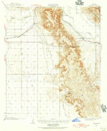
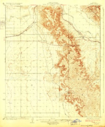
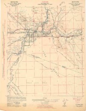
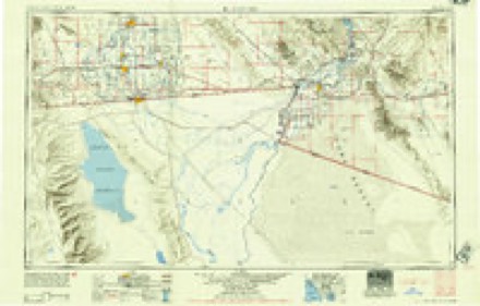
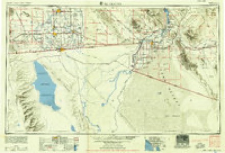
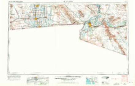
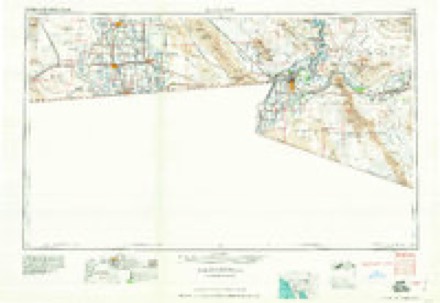
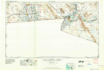
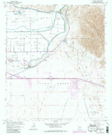
20 topographic sheets cover this place, the earliest surveyed in 1926 and the latest in 1993. It stands in the Yuma census division. It lies in ZIP code area 85365. It stands on Fortuna Wash. The Survey maps it on the Fortuna quadrangle.
Topographic sheets covering this place
10 surveys from 20 printed sheetsMatched by testing this settlement's coordinate against the published boundary of every sheet in the United States Geological Survey's historical collection. Each opens the scanned sheet at the Survey.
- 1926 USGS Fortuna quadrangle1:62500
- 1929 USGS Fortuna quadrangle1:62500, 4 printings
- 1942 USGS Yuma quadrangle1:250000
- 1954 USGS El Centro quadrangle1:250000
- 1955 USGS El Centro quadrangle1:250000
- 1958 USGS El Centro quadrangle1:250000, 4 printings
- 1961 USGS El Centro quadrangle1:250000
- 1964 USGS El Centro quadrangle1:250000
- 1965 USGS Fortuna quadrangle1:24000, 4 printings
- 1993 USGS Yuma quadrangle1:100000, 2 printings

Fires near this place
109 since 1993Regional context, not property-specific evidence. The federal wildfire occurrence database lists 109 fires within 5 miles of Blaisdell between 1993 and 2020, burning about 116 acres in total. 3 started naturally. 1 was recorded as arson. Distance is straight-line from the map coordinates, so a fire counted here may appear on a neighbouring settlement's page as well.
| Reported cause | Fires |
|---|---|
| Missing data/not specified/undetermined | 70 |
| Recreation and ceremony | 20 |
| Debris and open burning | 9 |
| Natural | 3 |
| Firearms and explosives use | 3 |
| Equipment and vehicle use | 1 |
| Railroad operations and maintenance | 1 |
| Misuse of fire by a minor | 1 |
| Arson/incendiarism | 1 |
The most recent of them, most recent first, with the day each was reported and the service that recorded it.
| Date | Cause | Size | Reported by | Name on the report |
|---|---|---|---|---|
| 8 September 2016 | Missing data/not specified/undetermined | 1.0 acres | Arizona Department of Forestry and Fire Management - State Office | KINTER |
| 7 September 2013 | Natural | under an acre | Colorado River District | NORTH GILA |
| 7 September 2008 | Missing data/not specified/undetermined | under an acre | Colorado River District | LEO |
| 30 September 2018 | Natural | under an acre | Yuma Fire Department | 1811718 |
| 22 September 2014 | Missing data/not specified/undetermined | 1.0 acres | Colorado River District | SIPHON |
| 22 September 2005 | Missing data/not specified/undetermined | under an acre | Colorado River District | BLASEDELL2 |
| 22 September 2005 | Missing data/not specified/undetermined | under an acre | Colorado River District | BLASEDELL |
| 20 September 2003 | Missing data/not specified/undetermined | 1.0 acres | Colorado River District | YUMA LAKES |
Settlements close enough to share some of these fires:
Mines and quarries near this place
10 of 39 shownRegional context, not property-specific evidence. The federal mineral resources record lists 39 workings within 5 miles of Blaisdell: 23 unknowns, 7 occurrences, 5 past producers, 3 producers. 3 still produce. What was taken out: Geothermal, Gold, Copper, Gold, Sand and Gravel, Construction. Distance is straight-line from the map coordinates, so a quarry counted here may appear on a neighbouring settlement's page as well.
| Where | Site | Commodity | Status | Recorded |
|---|---|---|---|---|
| Arizona Lead Co Mill | Fluorine-Fluorite, Lead, Stone | Past Producer | ||
| Dome Clinoptilolite | Zeolites, Bentonite | Occurrence | Bentonite, Clinoptilolite | |
| Marble Gully | Marble, Dimension | Past Producer | Marble | |
| McKay Prospect | Gold, Copper, Iron | Occurrence | Gold, Hematite | |
| Mcphaul Placers | Gold, Silver | Unknown | ||
| Own Crews | Stone, Crushed/Broken | Producer | ||
| Unknown | Tungsten | Prospect | ||
| Unknown | Zeolites | Occurrence | ||
| Adair Park Pit | Sand and Gravel, Construction | Producer | ||
| Foothills Sand and Gravel | Sand and Gravel, Construction | Producer |
Storms near this place
13 since 2011Regional context, not property-specific evidence. The National Weather Service names Blaisdell in 13 storm reports between 2011 and 2025: 9 thunderstorm wind, 2 flood, 1 heavy rain, 1 flash flood. No death or injury is recorded in these reports. Each account below is quoted exactly as the forecast office filed it, from the NOAA Storm Events Database, and each date opens the federal record of that event.
| When | Event | Place named | Harm | What the report says |
|---|---|---|---|---|
| August 2022 | Thunderstorm Wind | Blaisdell | $70,000 | Numerous images of microburst wind damage in the Fortuna Foothills area. Trees were uprooted, brick walls toppled, sheet metal carports destroyed, shingles of roofs were ripped off, downed power poles including a wooden pole that snapped and fell on a carport, a semi-truck trailer flipped on its side, broken window, a garage door blown in, and many other minor damages. The damage may have been caused by multiple microbursts. Timing estimated from radar. Winds were estimated at 55-60 mph. No injuries were reported. |
| August 2014 | Thunderstorm Wind | Blaisdell | $50,000 | Strong thunderstorms developed across portions of southwest Arizona during the evening hours on August 11th, and some of them affected the community of Fortuna Foothills to the east of Yuma. The stronger storms generated gusty damaging microburst winds in excess of 60 mph. According to trained weather spotter about 2 miles northwest of the Fortuna Foothills, thunderstorm wind gusts measured at 65 mph caused patio roof damage to his home. Additionally, a local broadcast media report indicated that thunderstorms winds caused extensive damage to trailers in Fortuna Foothills. No injuries were reported however. |
| September 2011 | Thunderstorm Wind | Blaisdell | $40,000 | Thunderstorms with strong damaging winds moved through the Yuma area during the afternoon hours on September 5th. A trained weather spotter located 5 miles north of the Fortuna Foothills reported that a box truck was blown over on Highway 95 just south of the Gila river. The wind gusts were estimated to be in excess of 50 knots. In addition, the strong microburst winds leveled an outbuilding. |
| September 2012 | Thunderstorm Wind | Blaisdell | $20,000 | A cluster of slow moving and very intense thunderstorms developed across far southwest Arizona during the afternoon hours on September 9th, and they affected the city of Yuma as well as surrounding communities such as Fortuna Foothills. The storms developed strong, gusty and damaging microburst winds measured in excess of 60 mph. According to a trained weather spotter in the Fortuna Foothills, Interstate 8 was closed from Avenue 3E to Foothills Boulevard due to downed power lines. The closure took place at 515 pm. In addition, an amatuer radio operator 7 miles east of Yuma reported power lines down at 510 pm. The winds that blew down the power lines were estimated to be at least 60 mph. There were no reports of power poles blown down, however. |
| August 2012 | Thunderstorm Wind | Blaisdell | $10,000 | Isolated thunderstorms developed across far southwestern Arizona during the afternoon hours on August 5th. Some storms affected the Fortuna Foothills. The atmosphere was very hot and rather dry at the time and this allowed the stronger thunderstorms to produce very strong, gusty and damaging microburst winds. Garry Frank, chief meteorologist with Channel 13 in Yuma sent several photos displaying damage that occurred in the Fortuna Foothills during the afternoon. Microburst winds estimated to be at least 65 knots snapped a large tree in half, with a trunk diameter of approximately 12 inches. Gusty winds destroyed a large metal awning and caved in a sheet metal garage door. Unfortunately a Severe Thunderstorm Warning was not in effect for this storm, however a Significant Weather Advisory did cover the situation and was issued from 443 pm until 530 pm. |
| August 2011 | Thunderstorm Wind | Blaisdell | $5,000 | Scattered strong thunderstorms moved across portions of southwestern Arizona, including the community of Yuma, during the late evening hours on August 27th. The storms generated gusty and damaging winds, estimated to be in excess of 55 mph. A trained weather spotter one mile north of the Fortuna Foothills reported numerous awnings and shutters damaged or torn from their houses. |
| July 2024 | Thunderstorm Wind | Blaisdell | $2,000 | Downed power poles and power lines across I-8 between Fortuna Rd and Foothills Blvd. Wind gusts were estimated upwards of 55-60 mph. Timing estimated from radar. No injuries were reported. |
| September 2025 | Thunderstorm Wind | Blaisdell | $1,000 | Highway 95 shut down near Rifle Range Road north of Fortuna Hills due to a downed power line. Wind gusts were estimated at 55-60 mph. Timing estimated from radar. No injuries reported. |
| July 2023 | Thunderstorm Wind | Blaisdell | $1,000 | A large uprooted tree caused a shed to bank upward at Cindy Rose Alterations in the Yuma Foothills. Wind gusts were estimated at between 50-55 mph based on nearby observations. Timing based on radar. No injuries were reported. |
| January 2024 | Flood | Blaisdell | $500 | Union Pacific railroad crossing was closed on Fortuna Rd between Highway 95 and 24th St due to flooding and erosion. No damages or injuries were reported. |
| January 2024 | Flood | Blaisdell | - | East County 13th street was flooded at the intersection with Fortuna Wash due to water flowing along the wash. No damages or injuries were reported. |
| December 2023 | Flash Flood | Blaisdell | - | Video evidence showed significant flow along Fortuna Wash near I-8. It is likely the water flowed across East Masterson Avenue and Foothills Boulevard, located about 0.5 mile downstream of I-8, making those roadways impassable. Between 1-1.5 inches of rain was estimated to have fallen in the general area based on doppler radar. No damages or injuries were reported. |
| September 2013 | Heavy Rain | Blaisdell | - | Showers and thunderstorms, some with locally heavy rain, developed across portions of the southwestern deserts including southwestern Yuma county during the evening hours on September 9th. A CoCoRaHS observer 2 miles south of the Fortuna Foothills measured one inch of rain ending at 2030MST. The heavy rain led to the issuance of two Urban and Small Stream Flood Advisories for the areas around Yuma including the Fortuna Foothills. |
Nearest settlements
The eight closest, with where each one stands in the county. Distances are straight-line, computed from the Geographic Names Information System coordinates.
| Map | Place | Distance | Sheets |
|---|---|---|---|
| Fortuna | 2.1 miles | 20 | |
| Kinter | 3.4 miles | 23 | |
| Fortuna Foothills | 3.9 miles | 20 | |
| Dome | 4.5 miles | 24 | |
| Araby | 5.7 miles | 27 | |
| Kool Corner | 7.2 miles | 23 | |
| Ligurta | 7.5 miles | 19 | |
| San Dionysio (historical) | 7.9 miles | 28 |
Provenance
This settlement is recorded in the Geographic Names Information System as feature 24326. The sheet list is computed by point-in-boundary test against the United States Geological Survey's historical topographic inventory. Both are works of the United States government and carry no copyright under 17 U.S.C. 105.
Wildfire. Short, Karen C. 2022. Spatial wildfire occurrence data for the United States, 1992-2020 [FPA_FOD_20221014]. 6th Edition. Fort Collins, CO: Forest Service Research Data Archive. https://doi.org/10.2737/RDS-2013-0009.6 Collected with United States Government funding and usable without additional permissions or fees.
Mines and quarries. USGS Mineral Resources Data System (MRDS) https://mrdata.usgs.gov/mrds/ A work of the United States government, no copyright under 17 U.S.C. 105.
Storms. NOAA National Centers for Environmental Information, Storm Events Database https://www.ncei.noaa.gov/stormevents/ A work of the United States government, no copyright under 17 U.S.C. 105. Narratives are quoted verbatim from the National Weather Service report and are not edited or summarised.