 Block
Ligurta, Arizona
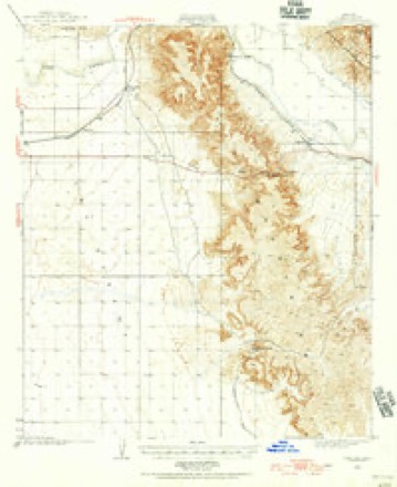
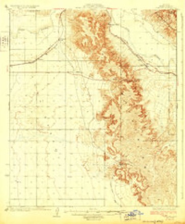
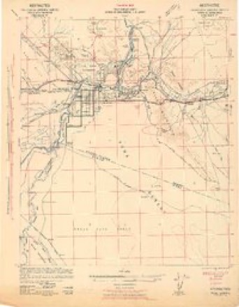
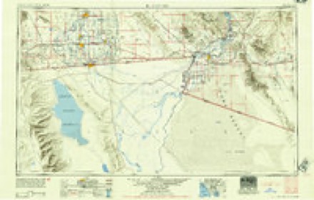
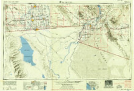
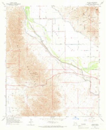
19 topographic sheets cover this place, the earliest surveyed in 1926 and the latest in 1993. It stands in the Wellton census division. It lies in ZIP code area 85356. The Survey maps it on the Ligurta quadrangle. It stands 233 feet above sea level.
Topographic sheets covering this place
10 surveys from 19 printed sheetsMatched by testing this settlement's coordinate against the published boundary of every sheet in the United States Geological Survey's historical collection. Each opens the scanned sheet at the Survey.
- 1926 USGS Fortuna quadrangle1:62500
- 1929 USGS Fortuna quadrangle1:62500, 4 printings
- 1942 USGS Yuma quadrangle1:250000
- 1954 USGS El Centro quadrangle1:250000
- 1955 USGS El Centro quadrangle1:250000
- 1958 USGS El Centro quadrangle1:250000, 4 printings
- 1961 USGS El Centro quadrangle1:250000
- 1964 USGS El Centro quadrangle1:250000
- 1965 USGS Ligurta quadrangle1:24000, 3 printings
- 1993 USGS Yuma quadrangle1:100000, 2 printings
Fires near this place
21 since 1998Regional context, not property-specific evidence. The federal wildfire occurrence database lists 21 fires within 5 miles of Ligurta between 1998 and 2020, burning about 120 acres in total. 1 started naturally. None was recorded as arson. Distance is straight-line from the map coordinates, so a fire counted here may appear on a neighbouring settlement's page as well.
| Reported cause | Fires |
|---|---|
| Missing data/not specified/undetermined | 11 |
| Equipment and vehicle use | 5 |
| Debris and open burning | 3 |
| Recreation and ceremony | 1 |
| Natural | 1 |
The most recent of them, most recent first, with the day each was reported and the service that recorded it.
| Date | Cause | Size | Reported by | Name on the report |
|---|---|---|---|---|
| 23 August 2006 | Natural | under an acre | Colorado River District | CANAL |
| 9 July 2009 | Missing data/not specified/undetermined | under an acre | Arizona Department of Forestry and Fire Management - State Office | BORROW PIT |
| 7 July 1998 | Missing data/not specified/undetermined | 8.3 acres | Colorado River District | LIGURTA |
| 3 July 2019 | Equipment and vehicle use | under an acre | Colorado River District | TELEGRAPH |
| 29 July 2011 | Missing data/not specified/undetermined | under an acre | Arizona Department of Forestry and Fire Management - State Office | TELEGRAPH |
| 18 June 2011 | Equipment and vehicle use | under an acre | Colorado River District | TELEGRAPH PASS |
| 23 May 2017 | Equipment and vehicle use | under an acre | Colorado River District | TELEGRAPH |
| 8 April 2009 | Missing data/not specified/undetermined | 84 acres | Arizona Department of Forestry and Fire Management - State Office | DOME VALLEY |
Settlements close enough to share some of these fires:
Mines and quarries near this place
4 within 5 milesRegional context, not property-specific evidence. The federal mineral resources record lists 4 workings within 5 miles of Ligurta: 3 occurrences, 1 unknown. None of them still produces. What was taken out: Niobium (Columbium), Tantalum, REE, REE, Thorium, Niobium (Columbium), Tantalum, Geothermal. Distance is straight-line from the map coordinates, so a quarry counted here may appear on a neighbouring settlement's page as well.
| Where | Site | Commodity | Status | Recorded |
|---|---|---|---|---|
| Ligurta Area | Niobium (Columbium), Tantalum, REE | Occurrence | ||
| Unknown | REE, Thorium | Occurrence | ||
| Unknown | Niobium (Columbium), Tantalum | Occurrence | ||
| Unknown | Geothermal | Unknown |
Storms near this place
11 since 2006Regional context, not property-specific evidence. The National Weather Service names Ligurta in 11 storm reports between 2006 and 2025: 8 flash flood, 2 thunderstorm wind, 1 heavy rain. No death or injury is recorded in these reports. Each account below is quoted exactly as the forecast office filed it, from the NOAA Storm Events Database, and each date opens the federal record of that event.
| When | Event | Place named | Harm | What the report says |
|---|---|---|---|---|
| August 2018 | Flash Flood | Ligurta | $40,000 | Thunderstorms with intense rainfall developed over portions of southern Yuma County, including the Interstate 8 corridor east of Yuma, during the late afternoon and early evening hours on August 16th. At 1640MST a trained spotter 5 miles southwest of Wellton reported 0.8 inches of rain within 15 minutes. The heavy rain, with peak rain rates over 3 inches per hour, caused traffic on Interstate 8 to stop. Shortly thereafter, at 1714MST the public reported that the on and off ramps to Interstate 8 as well as underpasses were submerged and flooded. This occurred about 3 miles southeast of Ligurta or just to the south of the Dome Valley. The flooded underpasses were not far from where the heavy rainfall report was taken along Interstate 8. A Flash Flood Warning was issued for the area at 1630MST and it remained in effect through 1930MST. No accidents or injuries were reported due to the flooding and hazardous driving conditions. |
| August 2013 | Flash Flood | Ligurta | $25,000 | Copious amounts of moisture spread north and into southwest Arizona on August 24th, ahead of dissipating former tropical storm Ivo. This led to a very moist and unstable airmass and scattered thunderstorms developed in the Yuma area during the evening hours. Locally heavy rain occurred, and radar indicated rain rates in excess of one inch per hour at times. The rain led to flooding and flash flooding of streets and washes in communities such as Yuma and the Fortuna Foothills. According to a trained weather spotter 2 miles east of the Fortuna Foothills, there was evidence of major flash flooding across county road 15E about 2 miles south of Interstate 8 during the evening hours. The report from the spotter was actually received around 1100MST on August 25th. Although a Flash Flood Warning was not in effect for the Yuma area during this event, an Urban and Small Stream Flood Advisory had been issued at 1900MST and it continued until 2130MST. No reports of accidents or injuries were received due to the flooding. |
| August 2022 | Thunderstorm Wind | Ligurta | $10,000 | An image showed approximately five downed power poles in Dome Valley near County 8th Street and Avenue 20 E. Timing estimated from radar. No injuries were reported. |
| September 2025 | Flash Flood | Ligurta | - | Social media video shows Fortuna Wash in Fortuna Foothills with quick flowing water. No damages or injuries reported. |
| August 2022 | Flash Flood | Ligurta | - | Separate social media videos showed water from Fortuna Wash flowing over S Ave 14 1/2 E and E 48th Street, causing the streets to become impassable. Most of the rain, estimated around 1 to 2 inches fell over the headwaters of Fortuna Wash, 3 to 5 miles to the southeast of Fortuna Foothills. No damages or injuries were reported. |
| July 2022 | Flash Flood | Ligurta | - | A video showed a wash flowing over a low water crossing along 48th Street, making the road impassable. No damage or injuries were reported. |
| September 2018 | Flash Flood | Ligurta | - | Tropical moisture spread north and into southwest Arizona ahead of Hurricane Rosa on October 30th, and the moisture led to the formation of isolated thunderstorms. Some of the stronger storms produced very heavy rainfall in the area east of Yuma and around the Fortuna Foothills. Trained spotters in the area reported rain totals over 1.8 inches near the Fortuna Foothills during the early afternoon; the intense rain led to flash flooding. At 1545MST a trained spotter in the Fortuna Foothills reported flash flooding over the Fortuna Wash near 40th Street and Ironwood. A Flash Flood Warning was issued for the area at 1404MST and it remained in effect through 1700MST. No injuries were reported as a result of the flash flooding. |
| September 2018 | Flash Flood | Ligurta | - | Tropical moisture was spreading north and into southwest Arizona on September 30th, ahead of hurricane Rosa. The moisture led to the formation of isolated thunderstorms, some of which produced intense rainfall just to the east of Yuma. A trained spotter 1 mile southeast of Fortuna Foothills measured 1.84 inches of rain between 1300MST and 1500MST. At about 1400MST the same spotter reported a wash running over the streets at 40th Avenue and Driftwood Drive. Area roads such as Driftwood Drive were impassable due to the flooding. |
| July 2014 | Flash Flood | Ligurta | - | Thunderstorms with heavy rain developed across far southwest Arizona, including Yuma and the Fortuna Foothills, during the afternoon hours on July 5th. At 1733MST, radar indicated that up to 1.25 inches of rain had fallen across portions of the Yuma area since about 1700MST. As a result an Urban and Small Stream Flood Advisory was issued and it ran through 1930MST. At 1726MST, local law enforcement personnel reported that water of unknown depth was completely covering the Ligurta underpass on Interstate 8. In addition, the Ligurta wash was running full. No injuries were reported as a result of the flooding. |
| August 2013 | Heavy Rain | Ligurta | - | Thunderstorms developed across portions of far southwest Arizona during the afternoon hours on August 22nd and they affected the communities of Yuma and the Fortuna Foothills. In addition to producing gusty and damaging winds, they also produced locally heavy rainfall with rain rates well in excess of one inch per hour. A trained weather spotter 2 miles southeast of the Fortuna Foothills measured rainfall at a rate of 1.89 inches per hour. The heavy rain caused localized flooding in the area around the Fortuna Foothills and Yuma, and led to the issuance of an Urban and Small Stream Flood Advisory starting at 1720MST and continuing past 1915MST. In addition to the spotter report, radar indicated that up to 2 inches of rain fell from 1700MST through 1900MST in the Yuma area. |
| August 2006 | Thunderstorm Wind | Ligurta | - | Strong winds damaged about 10 bales of hay...with some bales reportedly blown 150 yards. |
Nearest settlements
The eight closest, with where each one stands in the county. Distances are straight-line, computed from the Geographic Names Information System coordinates.
Elsewhere
Matched on this settlement's Geographic Names Information System number rather than its name, so it cannot be a different place of the same name in another state.
| Wikipedia article on Ligurta | An encyclopaedic summary. Its text is share-alike, so it is linked here rather than copied. |
| Wikidata item Q28222469 | The structured record the population and elevation above come from. Public domain (CC0). |
Provenance
This settlement is recorded in the Geographic Names Information System as feature 24494. The sheet list is computed by point-in-boundary test against the United States Geological Survey's historical topographic inventory. Both are works of the United States government and carry no copyright under 17 U.S.C. 105.
Wildfire. Short, Karen C. 2022. Spatial wildfire occurrence data for the United States, 1992-2020 [FPA_FOD_20221014]. 6th Edition. Fort Collins, CO: Forest Service Research Data Archive. https://doi.org/10.2737/RDS-2013-0009.6 Collected with United States Government funding and usable without additional permissions or fees.
Mines and quarries. USGS Mineral Resources Data System (MRDS) https://mrdata.usgs.gov/mrds/ A work of the United States government, no copyright under 17 U.S.C. 105.
Storms. NOAA National Centers for Environmental Information, Storm Events Database https://www.ncei.noaa.gov/stormevents/ A work of the United States government, no copyright under 17 U.S.C. 105. Narratives are quoted verbatim from the National Weather Service report and are not edited or summarised.