 Block
Bledsoe, Arizona
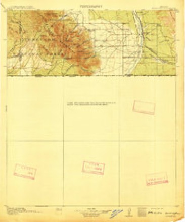
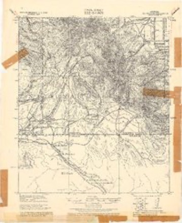
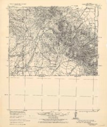
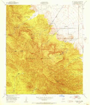
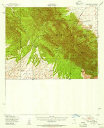
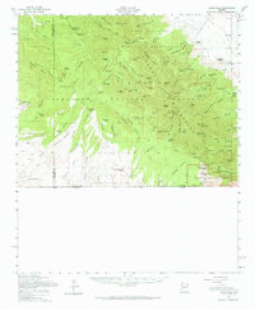
23 topographic sheets cover this place, the earliest surveyed in 1914 and the latest in 1996. It stands in the Bisbee census division. It lies in ZIP code area 85615. It lies near Ramsey Canyon. The Survey maps it on the Miller Peak quadrangle.
Topographic sheets covering this place
12 surveys from 23 printed sheetsMatched by testing this settlement's coordinate against the published boundary of every sheet in the United States Geological Survey's historical collection. Each opens the scanned sheet at the Survey.
- 1914 USGS Hereford quadrangle1:125000, 3 printings
- 1922 USGS Sunnyside quadrangle1:62500
- 1938 USGS Sunnyside quadrangle1:62500, 2 printings
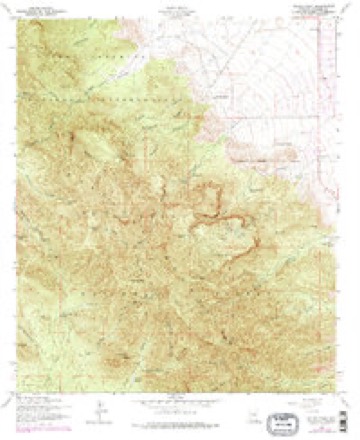
- 1948 USGS Miller Peak quadrangle1:24000
- 1948 USGS Sunnyside quadrangle1:62500
- 1956 USGS Nogales quadrangle1:250000, 4 printings
- 1958 USGS Miller Peak quadrangle1:24000, 4 printings
- 1958 USGS Nogales quadrangle1:250000
- 1958 USGS Sunnyside quadrangle1:62500, 2 printings
- 1959 USGS Nogales quadrangle1:250000
- 1994 USGS Nogales quadrangle1:100000, 2 printings
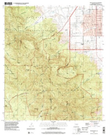
- 1996 USGS Miller Peak quadrangle1:24000
Fires near this place
335 since 1992Regional context, not property-specific evidence. The federal wildfire occurrence database lists 335 fires within 5 miles of Bledsoe between 1992 and 2020, burning about 14,426 acres in total. 49 started naturally. 7 were recorded as arson. Distance is straight-line from the map coordinates, so a fire counted here may appear on a neighbouring settlement's page as well.
| Reported cause | Fires |
|---|---|
| Recreation and ceremony | 189 |
| Missing data/not specified/undetermined | 68 |
| Natural | 49 |
| Equipment and vehicle use | 8 |
| Arson/incendiarism | 7 |
| Debris and open burning | 5 |
| Power generation/transmission/distribution | 3 |
| Fireworks | 2 |
| Misuse of fire by a minor | 2 |
| Smoking | 2 |
The most recent of them, most recent first, with the day each was reported and the service that recorded it.
| Date | Cause | Size | Reported by | Name on the report |
|---|---|---|---|---|
| 29 September 2001 | Recreation and ceremony | under an acre | Coronado National Forest | BEAR CAMP |
| 29 September 2001 | Recreation and ceremony | under an acre | Coronado National Forest | MILLER CAMP |
| 28 September 2002 | Natural | 3.0 acres | Coronado National Forest | VISTA |
| 28 September 2002 | Natural | 45 acres | Arizona Department of Forestry and Fire Management - State Office | VISTA FIRE |
| 27 September 2003 | Recreation and ceremony | under an acre | Coronado National Forest | HUNTER II |
| 27 September 1998 | Recreation and ceremony | under an acre | Coronado National Forest | LOWER CARR |
| 21 September 2008 | Recreation and ceremony | under an acre | Coronado National Forest | STUMP |
| 21 September 2001 | Recreation and ceremony | under an acre | Coronado National Forest | MC CORMACK |
Settlements close enough to share some of these fires:
Mines and quarries near this place
10 of 51 shownRegional context, not property-specific evidence. The federal mineral resources record lists 51 workings within 5 miles of Bledsoe: 31 past producers, 8 producers, 6 prospects, 5 occurrences. 8 still produce. What was taken out: Tungsten, Copper, Gold, Silver, Tungsten, Silver. Distance is straight-line from the map coordinates, so a quarry counted here may appear on a neighbouring settlement's page as well.
| Where | Site | Commodity | Status | Recorded |
|---|---|---|---|---|
| Armistice Mine | Lead, Silver, Copper, Gold | Past Producer | 1941, 1949 | |
| Armistice Mine | Lead, Silver, Copper, Gold | Past Producer | 1940 | |
| Baumkirchner Mine | Gold, Lead, Silver, Copper, Zinc | Prospect | 1925 | |
| Baumkirscher Mine | Lead, Zinc, Copper, Gold, Silver | Past Producer | Replacement | |
| Cave Creek Canyon Mine | Zinc, Lead, Copper, Silver | Past Producer | Replacement | |
| Columbia Sand & Gravel | Sand and Gravel, Construction | Producer | ||
| Copper Glance Mine | Copper, Gold, Silver | Producer | 1913, 1918 | |
| Corbett Marble Quarry | Marble, Dimension | Past Producer | Metamorphic | |
| Eureka Canyon Zeolite Occurrence | Zeolites | Occurrence | Unknown | |
| Eureka Mine | Lead, Silver, Copper, Gold | Past Producer | 1900 |
Storms near this place
12 since 2008Regional context, not property-specific evidence. The National Weather Service names Bledsoe in 12 storm reports between 2008 and 2014: 10 flash flood, 1 thunderstorm wind, 1 hail. The reports record 2 injuries. Each account below is quoted exactly as the forecast office filed it, from the NOAA Storm Events Database, and each date opens the federal record of that event.
| When | Event | Place named | Harm | What the report says |
|---|---|---|---|---|
| July 2012 | Flash Flood | Bledsoe | 2 hurt, $10,000 | Heavy rain over and adjacent to the Monument Fire burn scar caused flash flooding in the Sierra Vista and Hereford areas. Numerous roads were covered with flood waters, mud, boulders and other debris. A vehicle was stuck in the flooded intersection of Bloomfield Road and Kings Ranch Road. Two people were caught up in flood waters at the Carr Canyon Campsite. A 22 year old male managed to escape up the bank of the wash but a 16 year old female was swept downstream and not located until 4 hours later. Both suffered minor injuries. An elderly couple were rescued from the roof of their vehicle stuck in flood waters at the intersection of Ramsey Road and Burrow Drive. |
| July 2011 | Flash Flood | Bledsoe | $1,000,000 | Very heavy rainfall (1.5 to 3 inches) occurred over the Monument Fire Burn area in the Huachuca Mountains resulting in significant flash flooding and damage to areas in Ash, Miller and Carr Canyons, as well as along Highway 92. Heavy rain fell only over the Ash, Miller, and Carr Canyons, but due to the burn scars, water quickly flowed down the mountain to areas that received little or no rain. Boulders, trees, mud, and propane tanks were carried by the flood waters. At least a dozen homes were damaged with most having significant structural damage. A propane tank crashed through one home's wall and into the living room leaking liquid propane. Other homes had all their lawn furniture, fountains, and outbuildings washed away. The most significant damage was sustained by Beatty's Guest Ranch in Carr Canyon. The pond was filled with over 6 feet of mud, the camp restrooms were washed down the mountain, and several units were filled with mud. One of the camp areas has also been reported as being a new channel of Miller Creek. Rail Oaks Ranch had many of the same issues as Beatty's Ranch. Further down the mountains, water and mud roared over Highway 92 and into Nicksville where several homes were damaged and filled with mud. Due to impassable roads, at least 100 people became only accessible via helicopter for nearly 3 hours. Several additional communities were evacuated. Tombstone also lost 80% of its water supply due to pipes being damaged by erosion from the rapid runoff. |
| July 2013 | Flash Flood | Bledsoe | $100,000 | Two to five inches of rain fell along Highway 92 between Sierra Vista and Bisbee. Some areas received up to 7 inches of rain over a 3 hour period. Vehicles became stranded on roadways in water up to 3 feet deep, necessitating several swift water rescues. Several roads were closed, including Highway 92, which was shut down for about 90 minutes. Also, a large concrete culvert under a private road collapsed near Palominas. Several residents were isolated due to the collapse. |
| July 2008 | Flash Flood | Bledsoe | $100,000 | Heavy rainfall occurred at Coronado National Memorial causing flash flooding as washes overflowing the roadway causing significant damage. |
| July 2012 | Flash Flood | Bledsoe | $5,000 | Brief but heavy rain over the Monument Fire burn scar caused flash flooding in many of the canyons on the southeast side of the Huachuca Mountains. In Miller Canyon, the road was washed out. Additionally, dozens of feet of Tombstone pipeline which provides water to that community were exposed as flood waters removed the soil which normally covers the pipeline. The water supply line itself was not impacted. Stone Ridge Road and Coronado Memorial Road were flooded and covered with boulders and mud. |
| July 2012 | Flash Flood | Bledsoe | $5,000 | Flash flooding forced the closure of roads south of Sierra Vista as well as the Hereford and Tombstone areas. A man was rescued from his vehicle that was stuck in flood waters on Three Canyons Road west of Hereford. Flood debris blocked part of Moson Road. |
| July 2013 | Flash Flood | Bledsoe | $2,000 | Heavy rain caused flash flooding of Ash Creek, which partially eroded Twin Oaks Road. |
| July 2012 | Thunderstorm Wind | Bledsoe | $500 | Thunderstorm winds downed a tree at Fox Hollow Cabins. |
| July 2014 | Hail | Bledsoe | - | Quarter size hail was reported at two locations near Sierra Vista. The first report was from a trained spotter just south of Sierra Vista near highway 92. The second report was in Ash Canyon. |
| July 2013 | Flash Flood | Bledsoe | - | Heavy rain for the second evening in a row caused flash flooding near Highway 92 from Palominas to near Nicksville and the foothills of the Huachuca Mountains. Several roads became inundated with flowing water two feet deep. |
| July 2012 | Flash Flood | Bledsoe | - | Heavy rain over the Monument Fire burn scar resulted in flash flooding of canyons and the closure of several roads including Ramsey Road, Coronado Memorial Road and Stone Ridge Road. |
| August 2011 | Flash Flood | Bledsoe | - | Heavy rainfall over the Monument Fire burn area resulted in flooding in Miller Canyon and the closure of Miller Canyon Road. |
Nearest settlements
The eight closest, with where each one stands in the county. Distances are straight-line, computed from the Geographic Names Information System coordinates.
| Map | Place | Distance | Sheets |
|---|---|---|---|
| Ramsey | 0.3 miles | 23 | |
| Nicksville | 3.1 miles | 19 | |
| Sierra Vista Estates | 3.7 miles | 23 | |
| Black Bear Spring | 4.4 miles | 23 | |
| Sunnyside | 5.3 miles | 24 | |
| Coronado Village | 7.3 miles | 26 | |
| Village Meadows | 7.3 miles | 26 | |
| Sierra Vista | 7.4 miles | 26 |
Provenance
This settlement is recorded in the Geographic Names Information System as feature 26483. The sheet list is computed by point-in-boundary test against the United States Geological Survey's historical topographic inventory. Both are works of the United States government and carry no copyright under 17 U.S.C. 105.
Wildfire. Short, Karen C. 2022. Spatial wildfire occurrence data for the United States, 1992-2020 [FPA_FOD_20221014]. 6th Edition. Fort Collins, CO: Forest Service Research Data Archive. https://doi.org/10.2737/RDS-2013-0009.6 Collected with United States Government funding and usable without additional permissions or fees.
Mines and quarries. USGS Mineral Resources Data System (MRDS) https://mrdata.usgs.gov/mrds/ A work of the United States government, no copyright under 17 U.S.C. 105.
Storms. NOAA National Centers for Environmental Information, Storm Events Database https://www.ncei.noaa.gov/stormevents/ A work of the United States government, no copyright under 17 U.S.C. 105. Narratives are quoted verbatim from the National Weather Service report and are not edited or summarised.