 Block
Bosque, Arizona
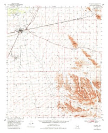
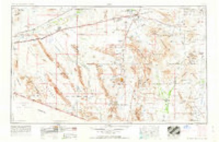
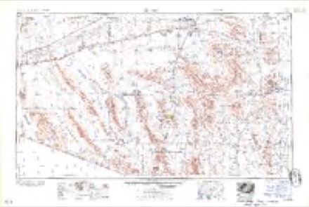
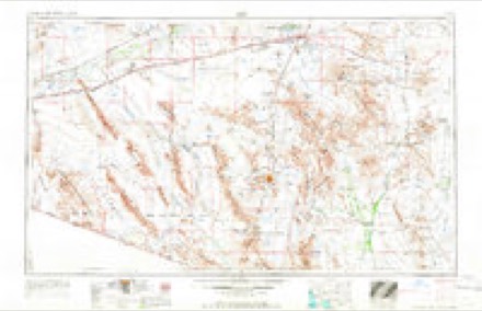
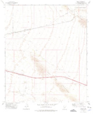
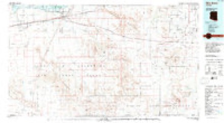
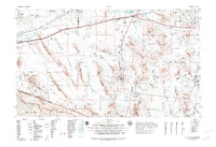
14 topographic sheets cover this place, the earliest surveyed in 1951 and the latest in 1982. It stands in the Gila Bend census division. It lies in ZIP code area 85337. The Survey maps it on the Bosque quadrangle. It stands 981 feet above sea level.
Topographic sheets covering this place
10 surveys from 14 printed sheetsMatched by testing this settlement's coordinate against the published boundary of every sheet in the United States Geological Survey's historical collection. Each opens the scanned sheet at the Survey.
- 1951 USGS Gila Bend quadrangle1:62500, 3 printings
- 1953 USGS Ajo quadrangle1:250000, 2 printings
- 1957 USGS Ajo quadrangle1:250000
- 1958 USGS Ajo quadrangle1:250000, 2 printings
- 1962 USGS Ajo quadrangle1:250000
- 1963 USGS Ajo quadrangle1:250000
- 1967 USGS Ajo quadrangle1:250000
- 1973 USGS Bosque quadrangle1:24000
- 1981 USGS Gila Bend quadrangle1:100000
- 1982 USGS Ajo quadrangle1:250000
Fires near this place
36 since 1993Regional context, not property-specific evidence. The federal wildfire occurrence database lists 36 fires within 5 miles of Bosque between 1993 and 2020, burning about 249 acres in total. 1 started naturally. 1 was recorded as arson. Distance is straight-line from the map coordinates, so a fire counted here may appear on a neighbouring settlement's page as well.
| Reported cause | Fires |
|---|---|
| Missing data/not specified/undetermined | 25 |
| Equipment and vehicle use | 4 |
| Smoking | 3 |
| Railroad operations and maintenance | 2 |
| Arson/incendiarism | 1 |
| Natural | 1 |
The most recent of them, most recent first, with the day each was reported and the service that recorded it.
| Date | Cause | Size | Reported by | Name on the report |
|---|---|---|---|---|
| 6 September 1995 | Equipment and vehicle use | under an acre | Phoenix District Office | BIGHORN |
| 18 September 1999 | Smoking | under an acre | Arizona Department of Forestry and Fire Management - State Office | BEND |
| 16 September 2020 | Missing data/not specified/undetermined | under an acre | Phoenix District Office | SAND |
| 8 July 2019 | Missing data/not specified/undetermined | under an acre | Buckeye Fire Department | NOT NAMED |
| 8 July 2019 | Missing data/not specified/undetermined | under an acre | Buckeye Fire Department | NOT NAMED |
| 8 July 2005 | Missing data/not specified/undetermined | 100 acres | Arizona Department of Forestry and Fire Management - State Office | SUNDAD |
| 27 July 2010 | Missing data/not specified/undetermined | under an acre | Phoenix District Office | BENDER WASH |
| 21 July 2014 | Missing data/not specified/undetermined | under an acre | Arizona Department of Forestry and Fire Management - State Office | AZ-141291 |
Settlements close enough to share some of these fires:
Storms near this place
11 since 2018Regional context, not property-specific evidence. The National Weather Service names Bosque in 11 storm reports between 2018 and 2025: 11 flash flood. No death or injury is recorded in these reports. Each account below is quoted exactly as the forecast office filed it, from the NOAA Storm Events Database, and each date opens the federal record of that event.
| When | Event | Place named | Harm | What the report says |
|---|---|---|---|---|
| September 2019 | Flash Flood | Bosque | $25,000 | Scattered monsoon thunderstorms developed across the lower deserts to the southwest of Phoenix during the evening hours on September 1st. Some of the stronger storms produced intense rainfall with peak rain rates in excess of one inch per hour. The heavy rain led to flash flooding to the east of Gila Bend, which impacted Highway 238. According to the Arizona Department of Highways, at 2018MST flash flooding 4 miles east of Gila Bend caused widespread flooding of low lying areas along State Route 238 between Mile Markers 2 and 5. As a result of the flash flooding, the highway became closed at Mile Marker 2 and a water rescue was needed. A Flash Flood Warning had been in effect for the area at the time of the flooding and was originally issued at 1842MST. No accidents or injuries were reported due to the flash flooding. |
| July 2018 | Flash Flood | Bosque | $5,000 | Thunderstorms with very heavy rain developed across the central deserts, to the southwest of Phoenix and down into the Gila Bend area, during the late evening hours on July 8th. The heavy rains caused areas of flash flooding east of Gila Bend, impacting motorists on State Route 238 all the way east to the county line. According to a report from the public, at 2306MST a number of motorists were stranded on State Route 238 between some flooded washes in the area. The motorists were about 11 miles northeast of Gila Bend. About one half hour later, the Arizona Department of Highways reported that State Route 238 was closed due to water over the road. One portion of the road that was flooded was near the town of Mobile. A Flash Flood Warning was issued for the area at 2209MST and it remained in effect through 0400MST the following morning. No injuries were reported due to the flash flooding. |
| September 2018 | Flash Flood | Bosque | $5,000 | Thunderstorms with very heavy rain developed to the southwest of the greater Phoenix area during the evening hours on September 2nd. The stronger storms generated peak rain rates over 1 inch per hour that resulted in some flash flooding along Highway 238 between the towns of Gila Bend and Mobile. At 2112MST, the Arizona Department of Highways reported that Highway 238 was closed due to flooding. The road was closed roughly 10 miles southwest of the town of Mobile. A Flash Flood Warning was issued for the area at 1955MST and it remained in effect through 2300MST. There were no reports of accidents due to the flash flooding on the highway. |
| November 2019 | Flash Flood | Bosque | $1,000 | A powerful Pacific low pressure system moving slowly east across Arizona interacted with deep moisture to produce widespread moderate to heavy rain over western portions of Maricopa County, including the community of Gila Bend, during the morning hours on November 29th. Isolated thunderstorms were present and they further increased rain totals. The heavy rain led to some flash flooding east of Gila Bend and along Highway 238. According to the Maricopa County Sheriff's Office and the department of transportation, flash flooding caused state route 238 to be closed from milepost 24 to Gila Bend. There were no reports of accidents due to the flash flooding. |
| October 2025 | Flash Flood | Bosque | - | Highway 238 between Gila Bend and Mobile closed due to flooding. No damages or injuries reported. |
| October 2022 | Flash Flood | Bosque | - | State Route 238 was closed between mile posts 7 and 24, northeast of Gila, due to flash flooding. No damages or injuries were reported. |
| October 2022 | Flash Flood | Bosque | - | Social media report showed slow traffic on SR-238, between mile markers 23 to 40 due to flooding on roadway. Timing estimated from radar. No damages or injuries were reported. |
| August 2022 | Flash Flood | Bosque | - | SR-238 was completely closed between Gila Bend and SR-347 due to flooding. Timing estimated from radar. No damages or injuries were reported. |
| July 2021 | Flash Flood | Bosque | - | The Arizona Department of Transportation reported that Highway 238 was closed between MP 14 and 38, which runs through both Maricopa and Pinal Counties, due to flooding. No damage or injuries were reported. |
| August 2021 | Flash Flood | Bosque | - | Highway patrol reported to the Arizona Department of Transportation that flooding was occurring on SR 238, leading to the closure of the highway. No injuries or damage were reported. |
| August 2021 | Flash Flood | Bosque | - | The Arizona Department of Transportation reported that SR 238 was closed due to flooding. The location was estimated based on the area with the heaviest rainfall and information provided on social media by ADOT. No damage or injuries were reported. |
Nearest settlements
The eight closest, with where each one stands in the county. Distances are straight-line, computed from the Geographic Names Information System coordinates.
| Map | Place | Distance | Sheets |
|---|---|---|---|
| Ocapos (historical) | 4.8 miles | 14 | |
| Shawmut | 5.4 miles | 14 | |
| San Lucy Village | 6.3 miles | 15 | |
| Gila Bend | 6.4 miles | 15 | |
| Sil Murk (historical) | 7.0 miles | 15 | |
| Point of Rocks | 8.7 miles | 14 | |
| Cotton Center | 9.1 miles | 16 | |
| Estrella | 9.9 miles | 18 |
Elsewhere
Matched on this settlement's Geographic Names Information System number rather than its name, so it cannot be a different place of the same name in another state.
| Wikidata item Q28220126 | The structured record the population and elevation above come from. Public domain (CC0). |
Provenance
This settlement is recorded in the Geographic Names Information System as feature 24334. The sheet list is computed by point-in-boundary test against the United States Geological Survey's historical topographic inventory. Both are works of the United States government and carry no copyright under 17 U.S.C. 105.
Wildfire. Short, Karen C. 2022. Spatial wildfire occurrence data for the United States, 1992-2020 [FPA_FOD_20221014]. 6th Edition. Fort Collins, CO: Forest Service Research Data Archive. https://doi.org/10.2737/RDS-2013-0009.6 Collected with United States Government funding and usable without additional permissions or fees.
Storms. NOAA National Centers for Environmental Information, Storm Events Database https://www.ncei.noaa.gov/stormevents/ A work of the United States government, no copyright under 17 U.S.C. 105. Narratives are quoted verbatim from the National Weather Service report and are not edited or summarised.