 Block
Coolidge, Arizona
21 topographic sheets cover this place, the earliest surveyed in 1922 and the latest in 1994. It stands in the Coolidge census division. It lies in ZIP code area 85128. The Survey maps it on the Coolidge quadrangle. 13,218 people lived here at the 2020 count. It stands 1,427 feet above sea level.
On record in Coolidge
Buildings and businesses the archive holds for this place. Each opens its own page, with the source record it came from.
On the National Register 3 records
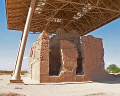 Casa Grande National Monumentlisted 1966
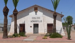 Coolidge Woman's Clublisted 1990
- Randolph Community Historic Districtlisted 2024
Surveyed buildings and structures 12 of 13 shown
- Casa Grande (Ruins), Coolidgefederal building survey, 2 photographs
- San Carlos Irrigation Project, Ashurst-Hayden Dam, Dam Tender's House, Gila River, T4S R11E S7, Coolidgefederal building survey, 2 photographs
- San Carlos Irrigation Project, Ashurst-Hayden Dam, Gila River, T4S R11E S7, Coolidgefederal building survey, 17 photographs
- San Carlos Irrigation Project, Ashurst-Hayden Dam, Power House, Gila River, T4S R11E S7, Coolidgefederal building survey, 3 photographs
- San Carlos Irrigation Project, Blackwater Lateral, South of Gila River, Coolidgefederal building survey, 1 photograph
- San Carlos Irrigation Project, China Wash Flume, Main (Florence-Casa Grande) Canal at Station 137+00, T4S, R10E, S14, Coolidgefederal building survey, 18 photographs
- San Carlos Irrigation Project, Coolidge Diesel Plant, Off Highway 57, Coolidgefederal building survey, 1 photograph
- San Carlos Irrigation Project, Florence Canal, South of Gila River, Coolidgefederal building survey, 1 photograph
- San Carlos Irrigation Project, Main Canal, Ashurst-Hayden Dam to Picacho Reservoir, Coolidgefederal building survey, 18 photographs
- San Carlos Irrigation Project, North Side Canal, North of Gila River, Coolidgefederal building survey, 13 photographs
- San Carlos Irrigation Project, Pima Lateral, Main Canal at Sacaton Dam, Coolidgefederal building survey, 16 photographs
- San Carlos Irrigation Project, San Carlos Irrigation Project Headquarters, 205 West Roosevelt, Coolidgefederal building survey, 1 photograph
Population over time
2 figuresCoolidge grew from 11,825 to 13,218 between 2010 and 2020. These are the recorded population figures Wikidata holds for this place, reached through the Geographic Names Information System number this page is keyed on rather than by name, so they belong to this place and not to another of the same name. Most are census counts, but not all are: an early figure may be a founding or settlement estimate, and an estimate published within five years of a census is left out. The change column is computed, and is left blank where more than 20 years separate a figure from the one before it, because a gap that long is not a change between two counts.
| Year | People | Change |
|---|---|---|
| 2010 | 11,825 | |
| 2020 | 13,218 | +1,393 (+12%) |
Topographic sheets covering this place
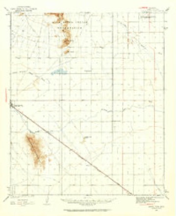
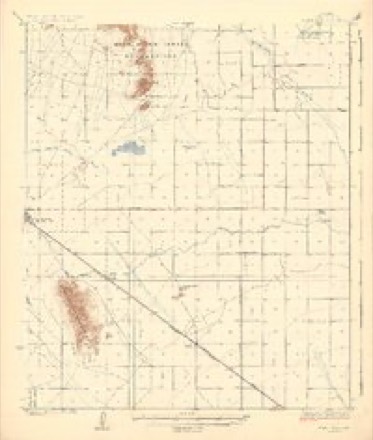
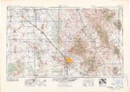
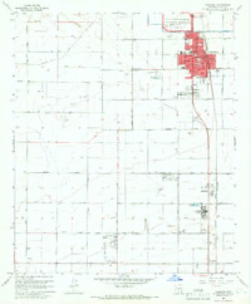
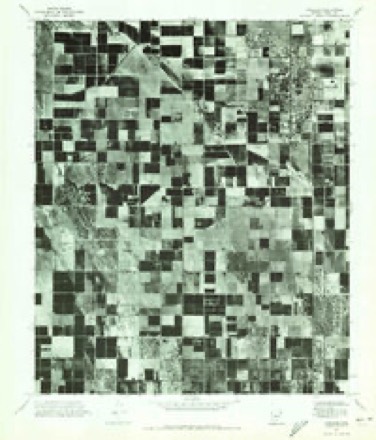
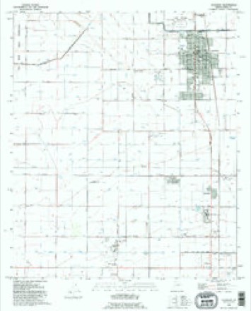
11 surveys from 21 printed sheetsMatched by testing this settlement's coordinate against the published boundary of every sheet in the United States Geological Survey's historical collection. Each opens the scanned sheet at the Survey.
- 1922 USGS Signal Peak quadrangle1:62500, 2 printings
- 1924 USGS Signal Peak quadrangle1:62500, 3 printings
- 1956 USGS Tucson quadrangle1:250000, 3 printings
- 1958 USGS Tucson quadrangle1:250000
- 1959 USGS Tucson quadrangle1:250000, 2 printings
- 1962 USGS Tucson quadrangle1:250000
- 1964 USGS Tucson quadrangle1:250000
- 1965 USGS Coolidge quadrangle1:24000, 3 printings
- 1971 USGS Coolidge quadrangle1:24000
- 1992 USGS Coolidge quadrangle1:24000
- 1994 USGS Casa Grande quadrangle1:100000, 3 printings
Photographs
4 photographs, 1942Taken for the Office of War Information and the Farm Security Administration, who photographed the country between 1935 and 1944. Works of United States government photographers, with no known restriction on use. Each opens its catalogue record.
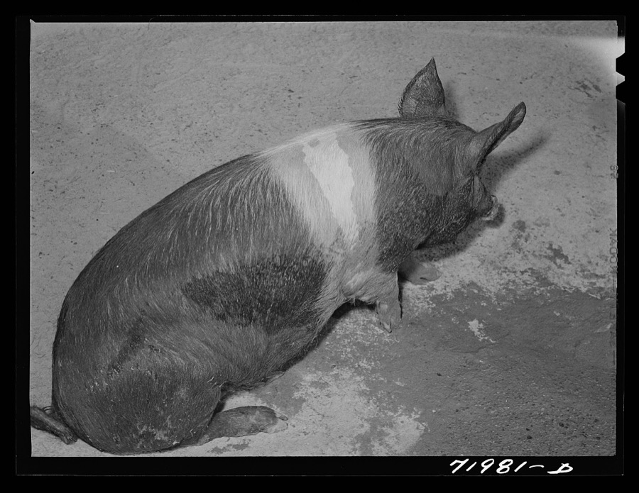
Lee, Russell, 1942. Library of Congress
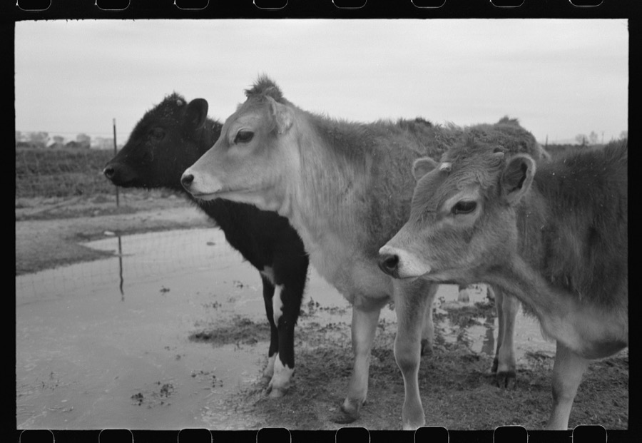
Lee, Russell, 1942. Library of Congress
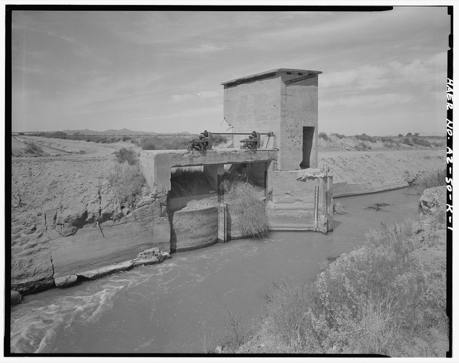
Photographer not recorded. Library of Congress
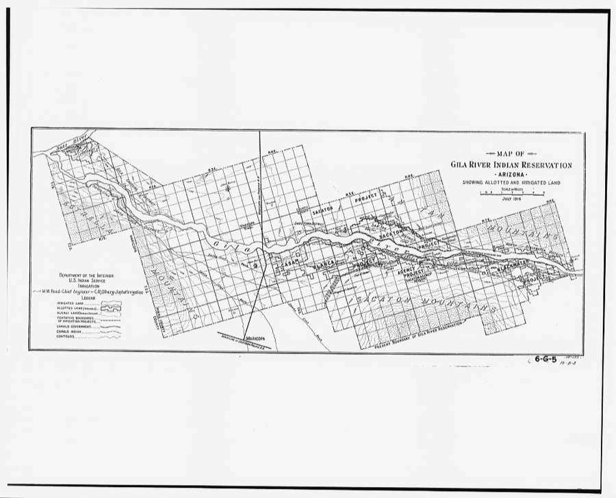
Photographer not recorded. Library of Congress
Fires near this place
239 since 1992Regional context, not property-specific evidence. The federal wildfire occurrence database lists 239 fires within 5 miles of Coolidge between 1992 and 2020, burning about 1,465 acres in total. 4 started naturally. 28 were recorded as arson. Distance is straight-line from the map coordinates, so a fire counted here may appear on a neighbouring settlement's page as well.
| Reported cause | Fires |
|---|---|
| Missing data/not specified/undetermined | 135 |
| Debris and open burning | 49 |
| Arson/incendiarism | 28 |
| Misuse of fire by a minor | 10 |
| Smoking | 6 |
| Natural | 4 |
| Railroad operations and maintenance | 3 |
| Equipment and vehicle use | 1 |
| Fireworks | 1 |
| Recreation and ceremony | 1 |
| Power generation/transmission/distribution | 1 |
The most recent of them, most recent first, with the day each was reported and the service that recorded it.
| Date | Cause | Size | Reported by | Name on the report |
|---|---|---|---|---|
| 8 September 1993 | Debris and open burning | 10 acres | Pima Agency | BH20SCH.RD |
| 6 September 1993 | Debris and open burning | under an acre | Pima Agency | BLKWATERII |
| 6 September 1993 | Debris and open burning | under an acre | Pima Agency | BLKWATER I |
| 26 September 1992 | Equipment and vehicle use | 3.0 acres | Arizona Department of Forestry and Fire Management - State Office | not named |
| 22 September 2009 | Arson/incendiarism | under an acre | Pima Agency | SKOUSEN |
| 19 September 1993 | Debris and open burning | 3.0 acres | Pima Agency | TOKI |
| 18 September 1993 | Debris and open burning | 30 acres | Pima Agency | CHIN RD |
| 17 September 1992 | Missing data/not specified/undetermined | 6.0 acres | Pima Agency | MC CRAY |
Settlements close enough to share some of these fires:
Mines and quarries near this place
10 of 23 shownRegional context, not property-specific evidence. The federal mineral resources record lists 23 workings within 5 miles of Coolidge: 17 past producers, 3 occurrences, 1 unknown, 1 producer. 1 still produces. What was taken out: Sand and Gravel, Construction, Stone, Gold, Molybdenum, Copper, Lead, Silver, Tungsten. Distance is straight-line from the map coordinates, so a quarry counted here may appear on a neighbouring settlement's page as well.
| Where | Site | Commodity | Status | Recorded |
|---|---|---|---|---|
| F M Jackson Property | Gold, Molybdenum, Copper, Lead, Silver, Tungsten | Occurrence | ||
| Oro Negro Mining Co Properties | Iron | Prospect | ||
| Stone Quarry | Stone | Past Producer | ||
| Coolidge Pit & Plant #7380 | Sand and Gravel, Construction | Unknown | ||
| Gravel Pit | Sand and Gravel, Construction | Past Producer | ||
| Gravel Pit | Sand and Gravel, Construction | Past Producer | ||
| Gravel Pit | Sand and Gravel, Construction | Past Producer | ||
| Gravel Pit | Sand and Gravel, Construction | Producer | ||
| Gravel Pit | Sand and Gravel, Construction | Occurrence | Gravel | |
| Gravel Pit | Sand and Gravel, Construction | Occurrence | Gravel |
Storms near this place
27 since 1993Regional context, not property-specific evidence. The National Weather Service names Coolidge in 27 storm reports between 1993 and 2021: 20 thunderstorm wind, 4 hail, 1 funnel cloud, 1 flood. The reports record 2 injuries. Each account below is quoted exactly as the forecast office filed it, from the NOAA Storm Events Database, and each date opens the federal record of that event.
| When | Event | Place named | Harm | What the report says |
|---|---|---|---|---|
| August 1993 | Thunderstorm Wind | Coolidge | 1 hurt, $500,000 | Thunderstorms and the associated microburst winds destroyed at least one unoccupied mobile home and severely damaged many others. Trees were uprooted and signs blown over as the storm moved to the northeast. |
| October 2018 | Hail | Coolidge | 1 hurt, $5,000 | Thunderstorms with very large hail developed to the southeast of the greater Phoenix area during the afternoon hours on October 21st. Some of the stronger storms produced hail with diameters well in excess of one inch and they affected the areas around the town of Coolidge. According to a report from the public, at 1628MST golf ball sized hailstones fell about 2 miles northeast of Coolidge and they resulted in property damage to a car and house window. At the nearby Lonestar Equestrian Center, the large hail caused minor injuries to some of the horses, and gashed the head of one of the cowboys during a roping contest. The center is located near the intersection of Attaway Road and Coolidge Avenue. The diameter of the largest hailstones was 1.75 inches. At the same time, local broadcast media reported additional large hail about 4 miles northeast of Coolidge. The media relayed a public report indicating that half-dollar sized hail had fallen in Valley Farms; the diameter of the largest hailstones was 1.25 inches. |
| August 2007 | Thunderstorm Wind | Coolidge | $200,000 | About 11 power poles were destroyed along the west side of Arizona Boulevard on the edge of the Casa Grande Ruins National Monument in Coolidge. Power was out for about 2300 households and businesses for more than 40 hours. Phone service was disrupted. Winds also uprooted trees in the area.|The Red Cross estimated that more than 340 people had received assistance in the form of food, water and shelter since a cooling station was established at the high school. |
| September 1999 | Hail | Coolidge | $100,000 | Hail and strong winds ripped through the Coolidge area and damaged thousands of acres of cotton just weeks before it would have been harvested.. Trees were uprooted in Coolidge, and power poles were down in Coolidge and Florence. Heavy rain was also recorded at the Casa Grande Ruins National Monument where 2.02 inches fell in about 45 minutes. About 41 homes in Blackwater, on the Gila River Indian Community, had either roof damage, broken windows, or door and skirting damages. |
| July 2009 | Thunderstorm Wind | Coolidge | $75,000 | Mobile home damaged due to very severe thunderstorm winds. |
| July 1999 | Thunderstorm Wind | Coolidge | $60,000 | Winds and dense blowing dust moved through the area. About 12 power poles were downed along highway 87 just north of Coolidge. Homes were damaged in Hidden Valley, west of Casa Grande. |
| August 2010 | Thunderstorm Wind | Coolidge | $50,000 | A trained weather spotter reported numerous power poles downed in the town of Coolidge. Thunderstorm downburst winds were estimated to be in excess of 60kt. |
| July 2007 | Thunderstorm Wind | Coolidge | $50,000 | Thunderstorm winds caused roof damage and took down power lines in Coolidge. |
| July 2007 | Thunderstorm Wind | Coolidge | $50,000 | Damaging winds from thunderstorms took down power lines on west Martin Road and caused roof damage in portions of Coolidge. |
| August 2012 | Thunderstorm Wind | Coolidge | $30,000 | Thunderstorms developed across portions of northwest Pinal county, including the community of Coolidge, during the evening hours on August 21st. Due to the very humid and unstable nature of the atmosphere, the thunderstorms were able to produce both heavy rain and gusty, damaging microburst winds. According to local law enforcement, at 715 pm thunderstorm wind gusts knocked down several power poles and power lines in the town of Coolidge. The wind gusts were estimated to be at least 60 knots. At the same time, locally heavy rain produced by the severe storm cluster caused street flooding to the north, in the town of San Tan Valley. The urban flooding was reported by a trained storm spotter 15 miles north of Coolidge. |
| August 2012 | Thunderstorm Wind | Coolidge | $25,000 | Thunderstorms developed across the south central Arizona deserts during the evening hours on August 18th. Some of the storms generated strong and damaging microburst winds with gusts estimated to be at least 50 knots. According to the Florence Sheriff's office, at 715 pm several power poles were blown down in the town of Coolidge, and a number of power lines were downed as well. Locally heavy rain accompanied the storms over the central deserts, a National Weather Service employee in Maricopa reported 1.26 of rain, and some flooding was reported in the San Tan Valley. |
| August 1998 | Thunderstorm Wind | Coolidge | $20,000 | Several palo verde trees blown down. Some homes and businesses in Coolidge received minor damage due to the winds. One resident reported a stored row boat that blew about a quarter mile. Washes near Casa Grande, southwest of Coolidge, were reported running about 4 feet deep. |
| July 2013 | Thunderstorm Wind | Coolidge | $15,000 | Isolated to scattered thunderstorms developed during the evening hours on July 6th and they affected the central deserts including northern Pinal County. The storms produced gusty outflow winds estimated to be in excess of 50 mph. At 830 pm, a weather spotter 5 miles southeast of Coolidge reported wind damage from one of the storms. He forwarded pictures of the damage to the local Phoenix NWS office; power poles were blown down and sheet metal damage could be seen on a storage shed. No injuries were reported. A Severe Thunderstorm Warning was not in effect at the time, however a Significant Weather Advisory was posted at 823 pm highlighting the potential for strong gusty thunderstorm winds in the area. |
| July 2021 | Flood | Coolidge | $10,000 | Video on social media showed Coolidge Fire Department performing a water rescue after a vehicle became stranded while attempting to cross the Gila River along Christensen Road. The increase in flow in the Gila River was a result of morning heavy rain that fell in the area hours before the water rescue. No injuries were reported. |
| August 2000 | Thunderstorm Wind | Coolidge | $10,000 | WInds damaged at least one roof in Coolidge and resulted in dense blowing dust near Casa Grande. Visibility was estimated to be less than 50 feet at about 6:10 pm. |
| July 2011 | Thunderstorm Wind | Coolidge | $8,000 | Strong thunderstorms with damaging microburst winds moved through the Coolidge area during the evening hours on July 5th. According to a report from the public, strong winds estimated to be at least 55 knots caused a tree to fall onto a house during the passage of a dust storm. As a result there was partial damage to the roof of the house. |
| July 2000 | Thunderstorm Wind | Coolidge | $5,000 | Winds damaged the roof of a trailer. |
| August 2021 | Flash Flood | Coolidge | - | The Arizona Department of Transportation reported that SR 87 was closed due to flooding near Arizona Boulevard. No damage or injuries were reported. |
| August 2015 | Thunderstorm Wind | Coolidge | - | Thunderstorms developed across portions of northwest Pinal county during the afternoon hours on August 7th, and some of them produced gusty and damaging microburst winds which affected the community of Coolidge. According to a mesonet RAWS station in Coolidge, a peak wind gust was measured at 81 mph at 1540 MST. |
| September 2001 | Thunderstorm Wind | Coolidge | - | About 1,000 customers were left without power after strong winds knocked down six power poles on the Gila River Indian Community. |
| July 2000 | Thunderstorm Wind | Coolidge | - | Railroad crossing arm damaged by high winds. |
| August 1998 | Thunderstorm Wind | Coolidge | - | Winds took down 7 power poles, numerous tree limbs snapped off. |
| August 1995 | Thunderstorm Wind | Coolidge | - | Two trees, including a 35-foot tall elm, were blown down into power lines. These power lines were in turn downed by the trees. |
| August 2001 | Hail | Coolidge | - | no account filed |
| September 1999 | Hail | Coolidge | - | no account filed |
| August 1996 | Thunderstorm Wind | Coolidge | - | no account filed |
| February 1996 | Funnel Cloud | Coolidge | - | no account filed |
Newspapers printed here
6,680 digitised pages1 paper published in this town, digitised by the Library of Congress and free to read: 880 issues, 6,680 pages. Every page is searchable, so a name or a street can be looked for directly in what the town printed about itself at the time.
| Newspaper | Published |
|---|---|
| The Coolidge Examiner | 1930 to Current |
What the paper printed
18,830 wordsFront pages of the local paper, read from the Library of Congress scans: 6 issues all from 1930, 18,830 words in total. Each is reproduced on its own page, exactly as the recogniser returned it.
These pages read less well than anything else here, and the number is worth stating: about three words in four come through cleanly, against nine in ten for the building records. An 1896 broadsheet sets eight-point type in seven columns on microfilm, which is the hardest thing in this archive to read by machine. We tested our own recognisers against the Library's and they were not better, so the Library's text is what appears, with the wholly unreadable columns removed. Read it as a guide to what the paper covered, and follow the link to the scan before quoting anything.
| Issue | Paper | Length |
|---|---|---|
| 1930-03-07 | The Coolidge Examiner | 2,122 words |
| 1930-05-02 | The Coolidge Examiner | 2,757 words |
| 1930-06-27 | The Coolidge Examiner | 3,362 words |
| 1930-09-05 | The Coolidge Examiner | 2,937 words |
| 1930-10-31 | The Coolidge Examiner | 3,144 words |
| 1930-12-26 | The Coolidge Examiner | 4,508 words |
Nearest settlements
The eight closest, with where each one stands in the county. Distances are straight-line, computed from the Geographic Names Information System coordinates.
| Map | Place | Distance | Sheets |
|---|---|---|---|
| Borree Corner | 2.2 miles | 21 | |
| Valley Farms | 3.8 miles | 16 | |
| Randolph | 4.2 miles | 21 | |
| Adamsville | 4.7 miles | 19 | |
| Blackwater | 5.0 miles | 17 | |
| La Palma | 6.8 miles | 21 | |
| Eleven Mile Corner | 7.3 miles | 21 | |
| Florence | 7.8 miles | 19 |
Elsewhere
Matched on this settlement's Geographic Names Information System number rather than its name, so it cannot be a different place of the same name in another state.
| Wikipedia article on Coolidge | An encyclopaedic summary. Its text is share-alike, so it is linked here rather than copied. |
| Wikidata item Q80067 | The structured record the population and elevation above come from. Public domain (CC0). |
Provenance
This settlement is recorded in the Geographic Names Information System as feature 3195. The sheet list is computed by point-in-boundary test against the United States Geological Survey's historical topographic inventory. Both are works of the United States government and carry no copyright under 17 U.S.C. 105.
Wildfire. Short, Karen C. 2022. Spatial wildfire occurrence data for the United States, 1992-2020 [FPA_FOD_20221014]. 6th Edition. Fort Collins, CO: Forest Service Research Data Archive. https://doi.org/10.2737/RDS-2013-0009.6 Collected with United States Government funding and usable without additional permissions or fees.
Mines and quarries. USGS Mineral Resources Data System (MRDS) https://mrdata.usgs.gov/mrds/ A work of the United States government, no copyright under 17 U.S.C. 105.
Storms. NOAA National Centers for Environmental Information, Storm Events Database https://www.ncei.noaa.gov/stormevents/ A work of the United States government, no copyright under 17 U.S.C. 105. Narratives are quoted verbatim from the National Weather Service report and are not edited or summarised.