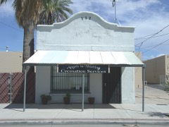
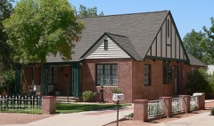
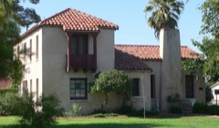
Block
From the record
100 National Register listings published here.
Sources: the National Register database, National Park Service
339 topographic sheets and 22 fire insurance atlases across 6 places.
100 National Register listings published here.
Sources: the National Register database, National Park Service
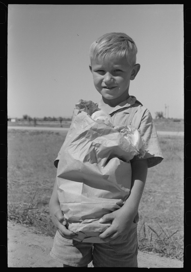
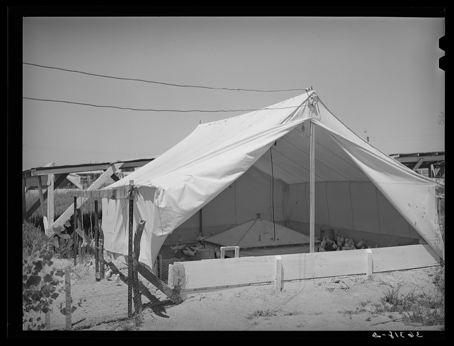
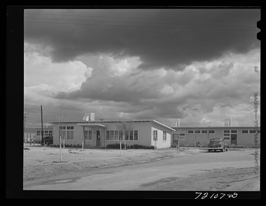
Taken for the Office of War Information and the Farm Security Administration, who photographed the country between 1935 and 1944. Works of United States government photographers, with no known restriction on use. Each opens its catalogue record.

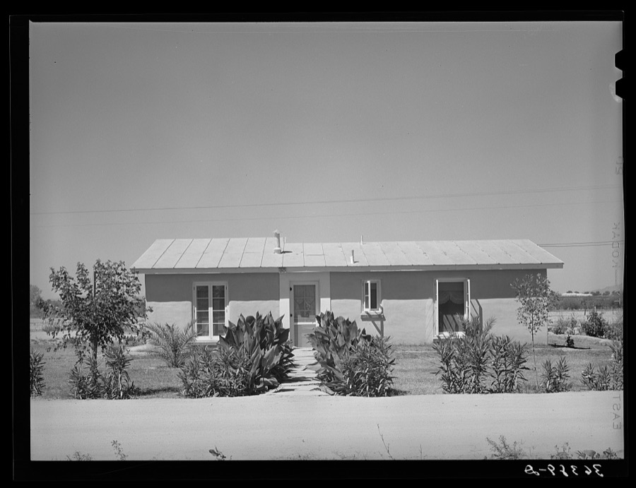
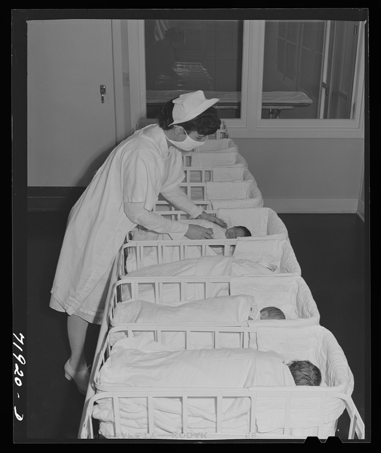
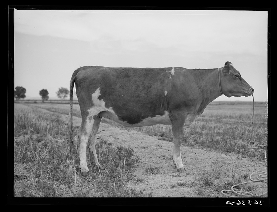
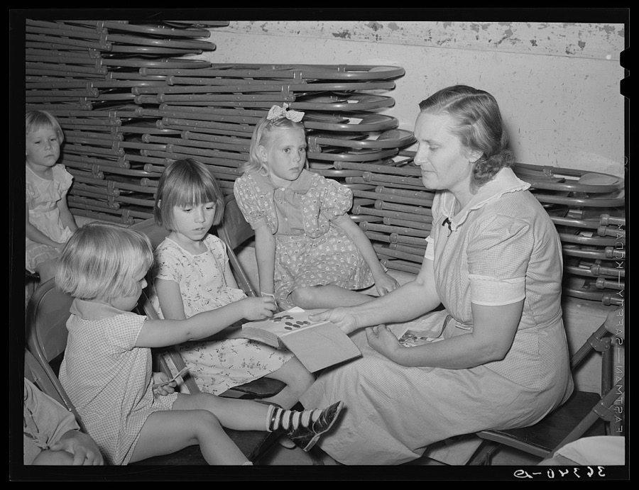
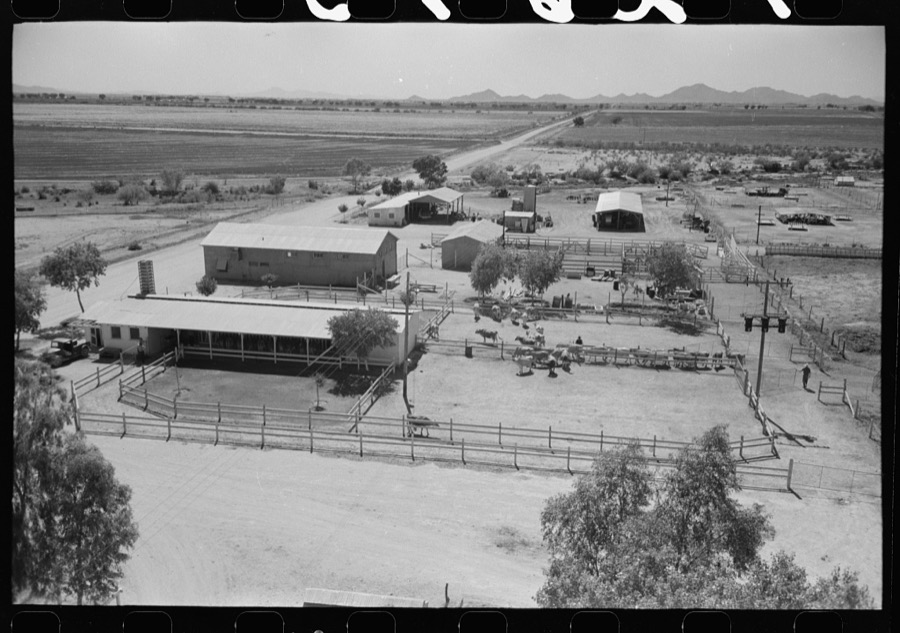
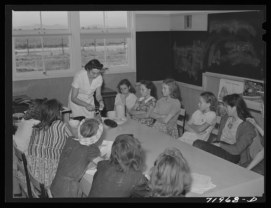
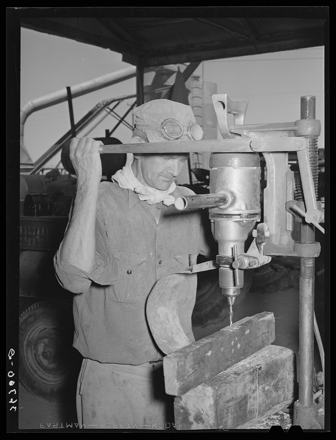
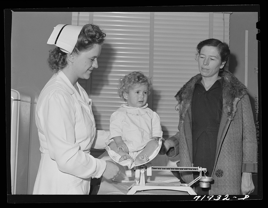
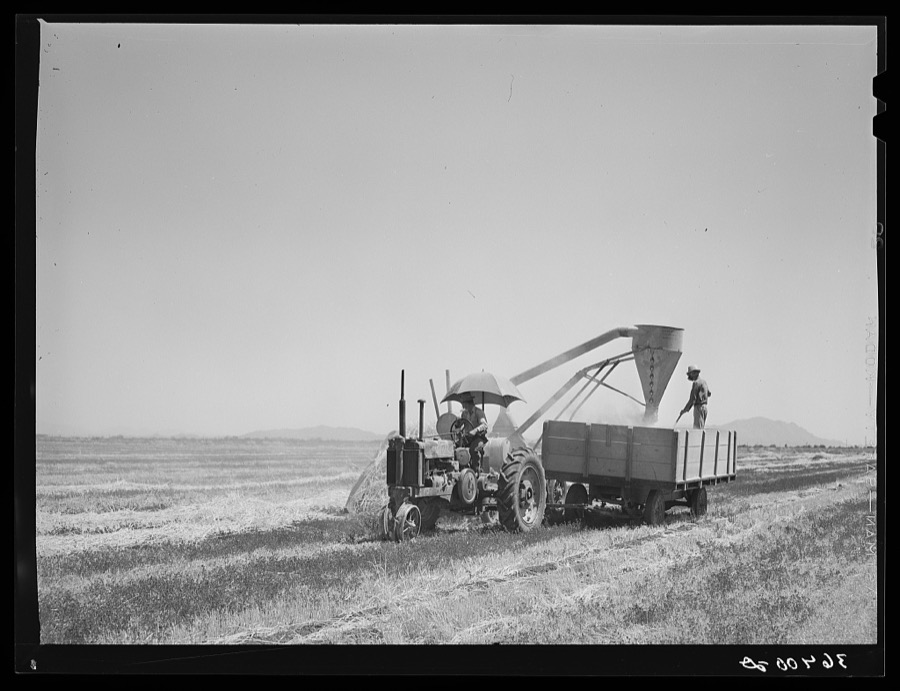
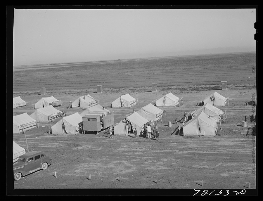
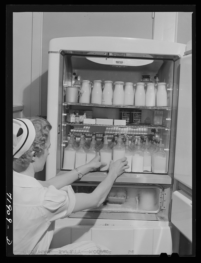
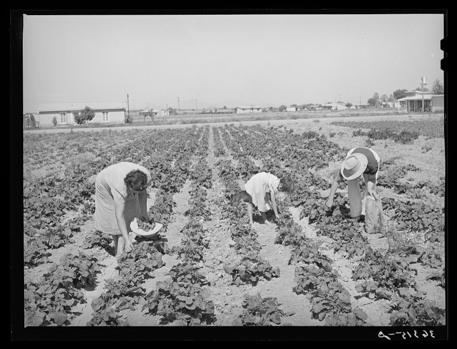
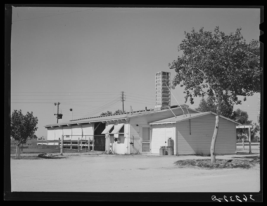
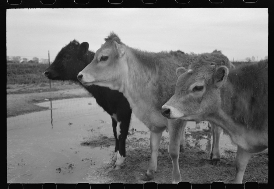
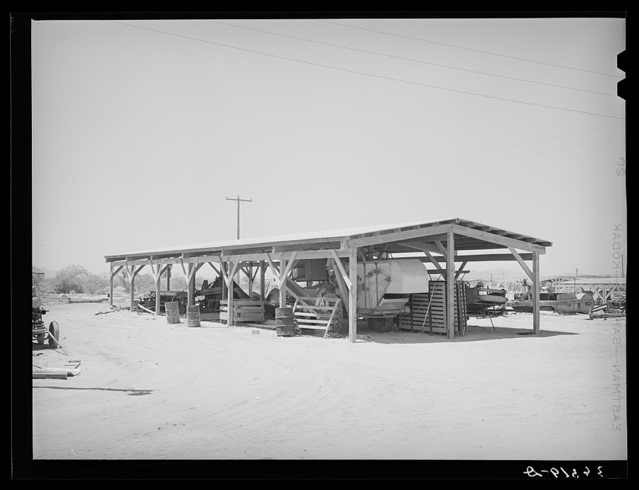
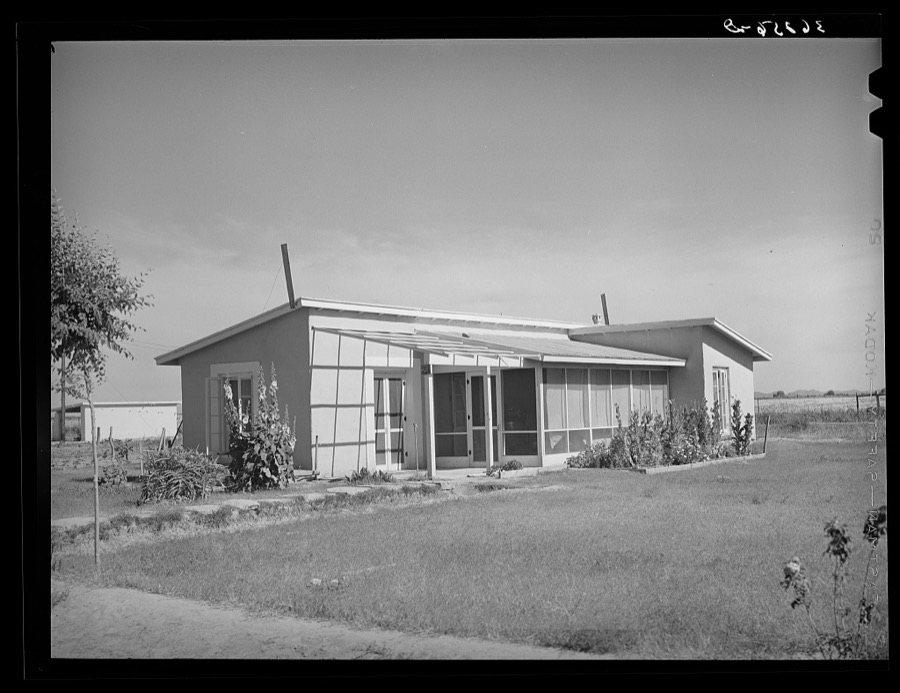
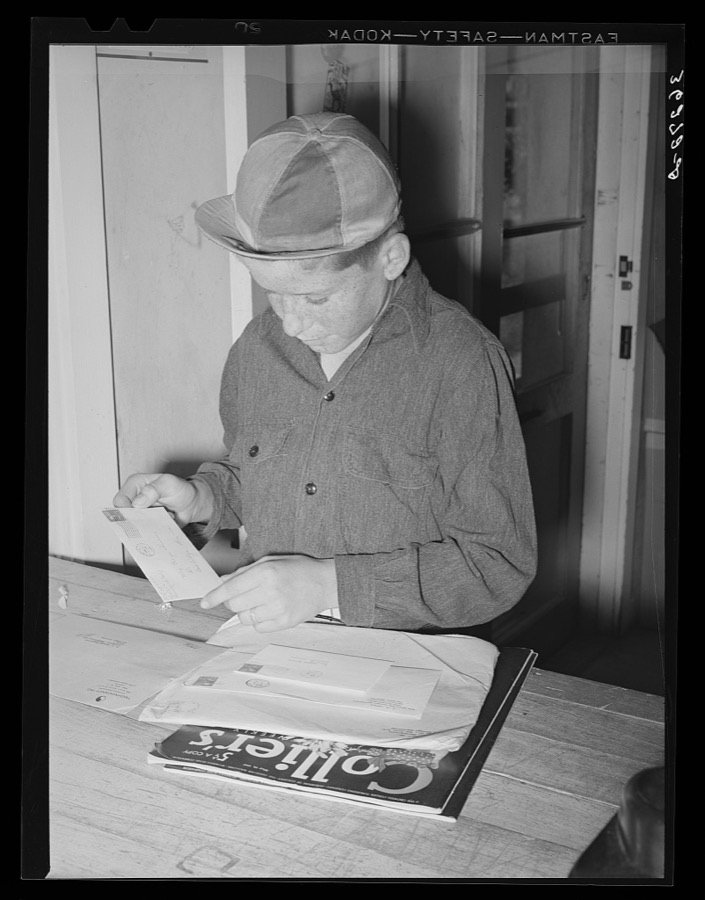
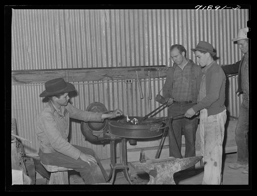
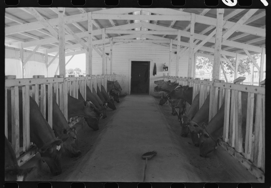
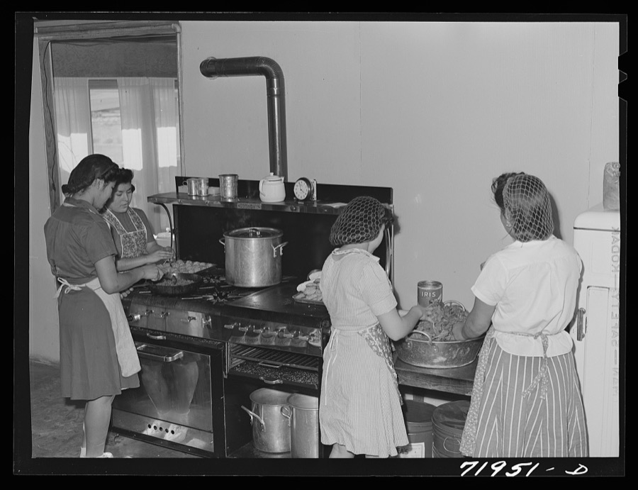
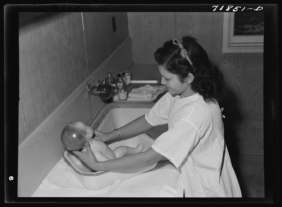
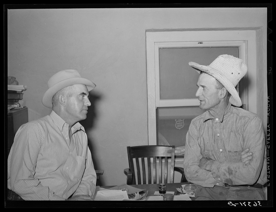
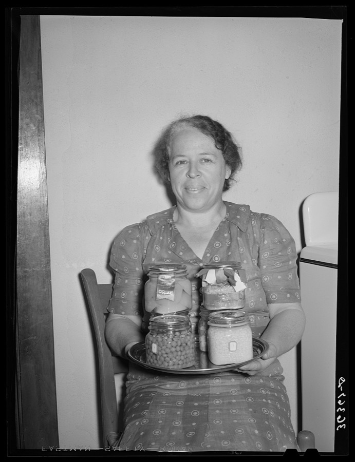
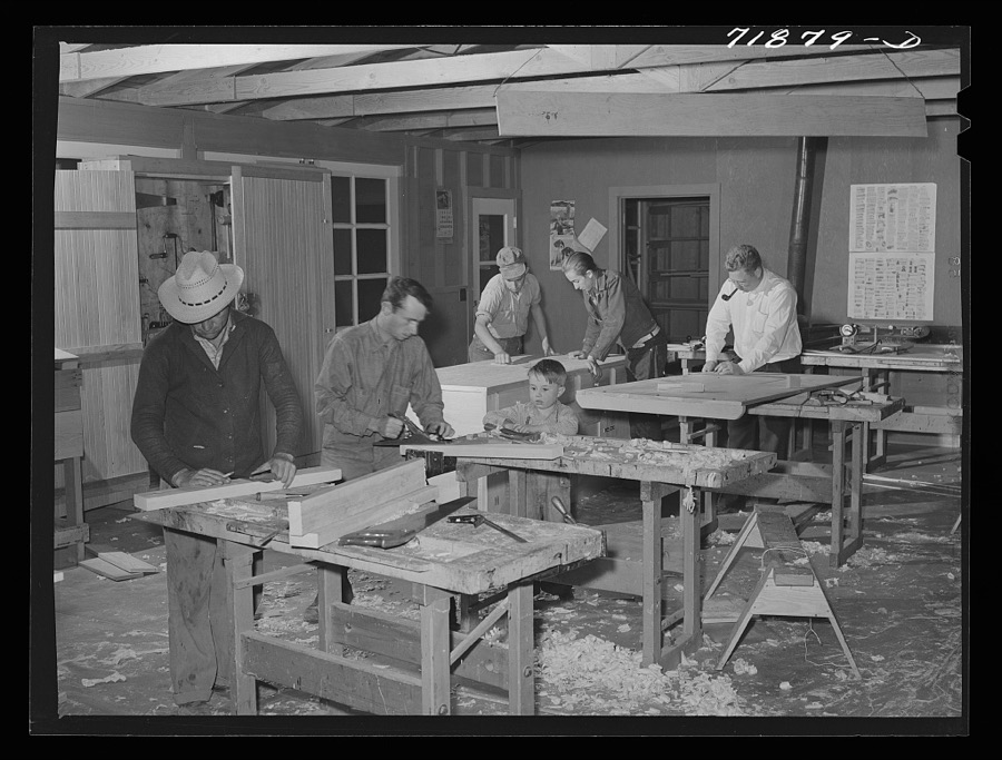
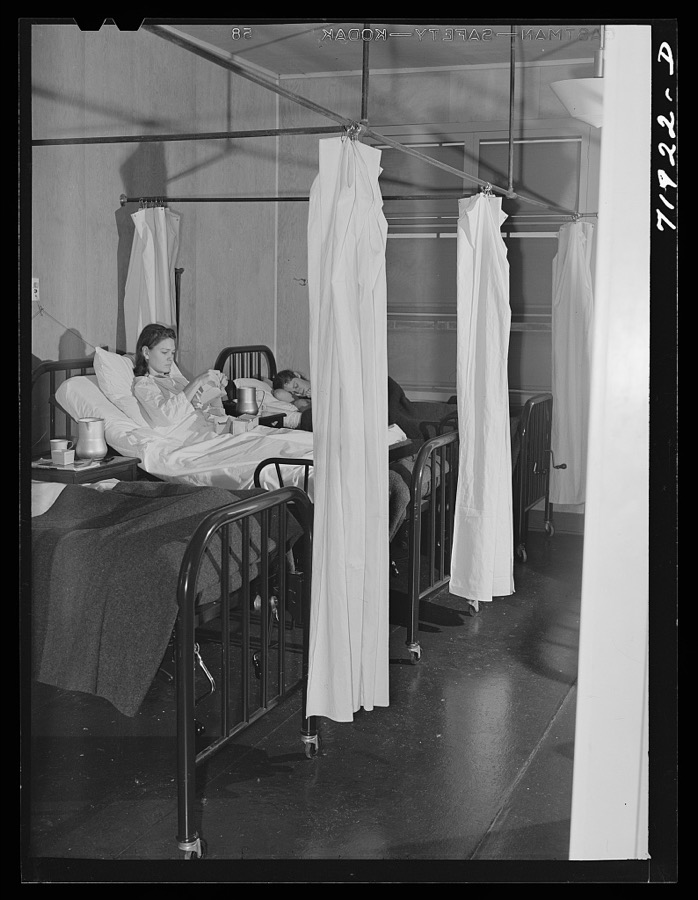
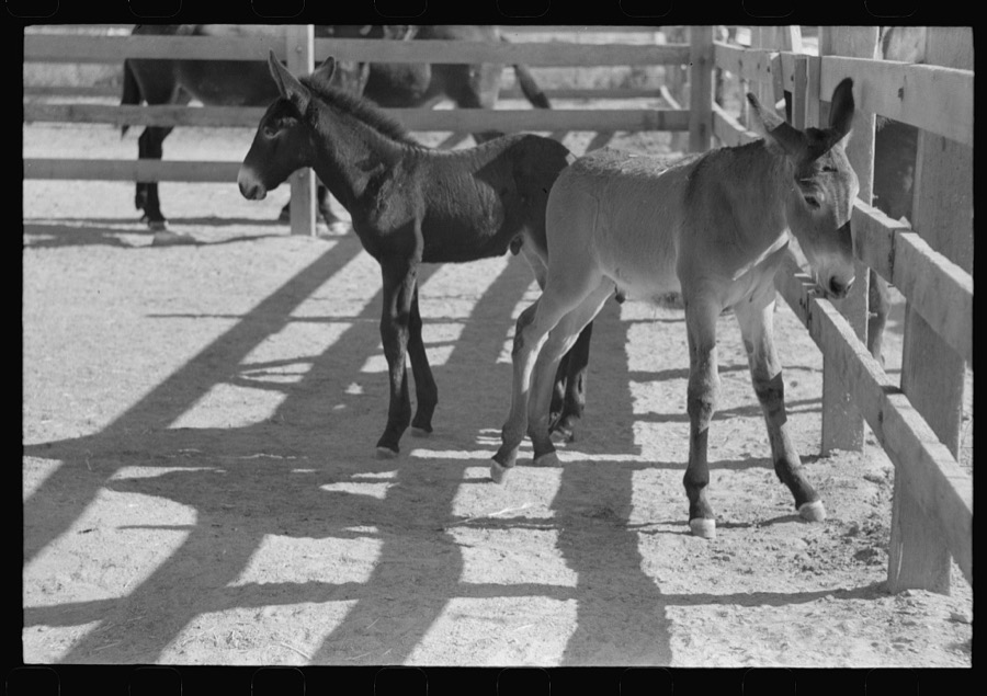
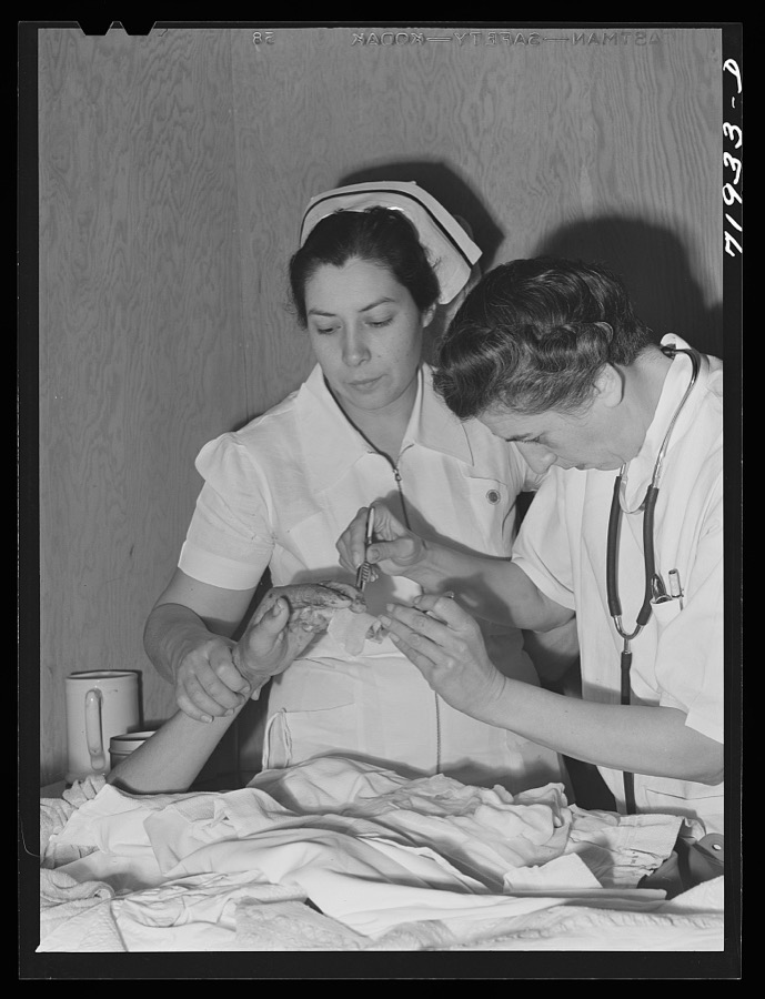
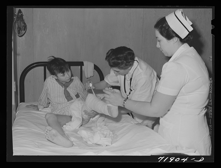
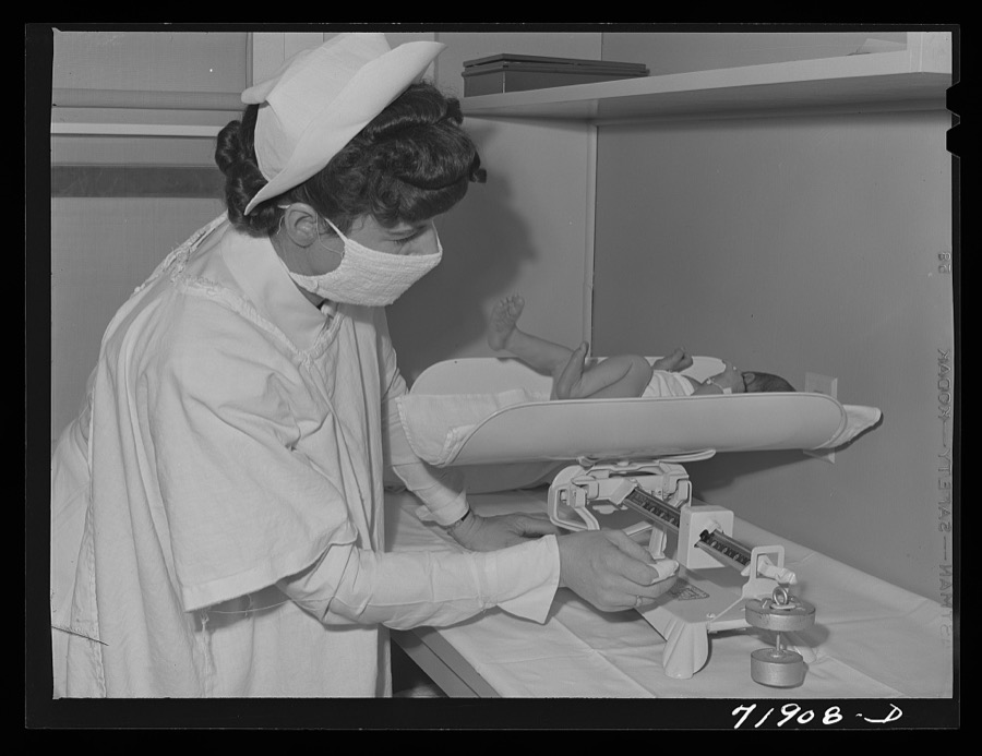
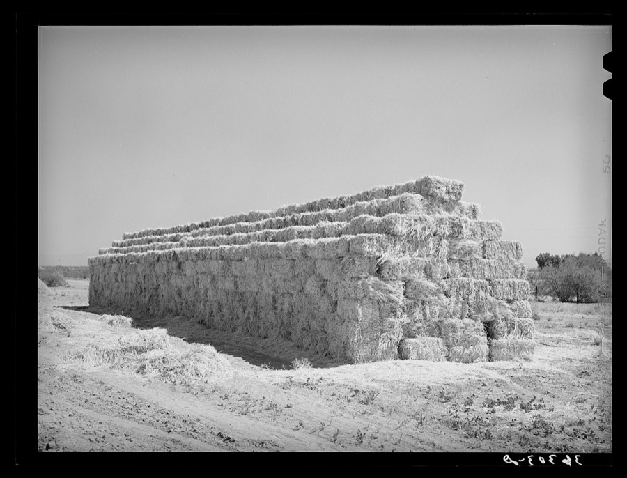
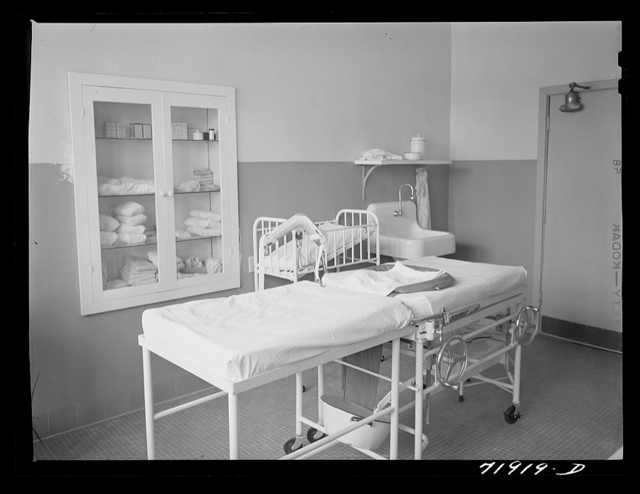
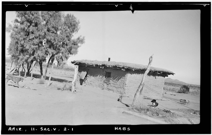
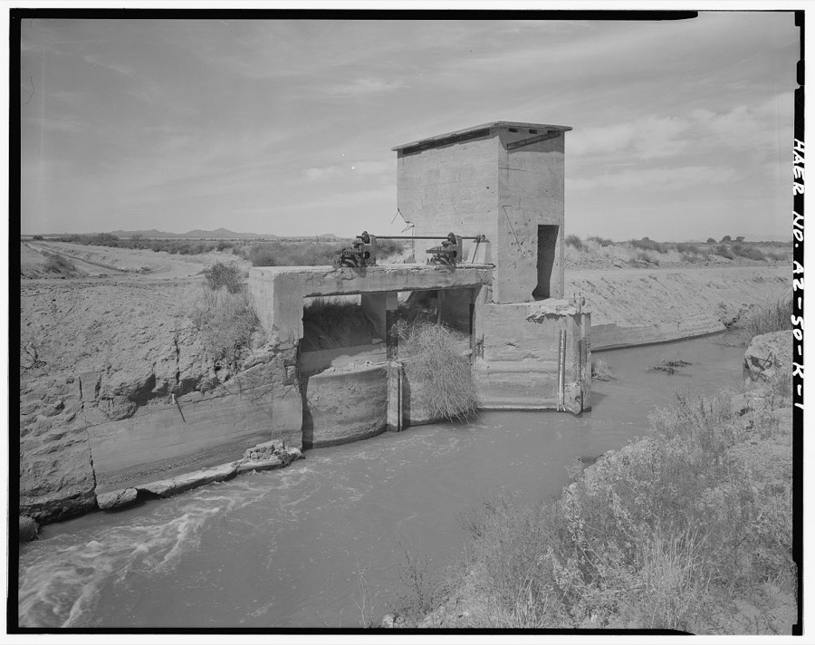
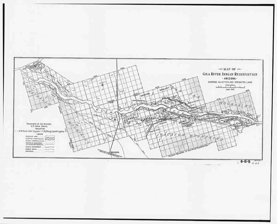
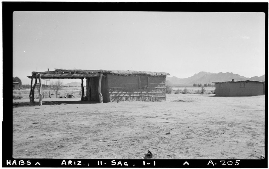
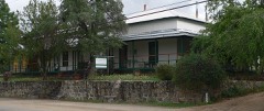
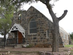
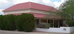
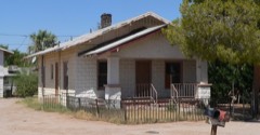
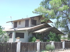
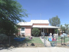
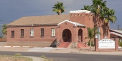
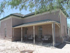
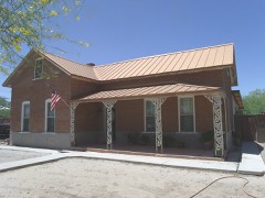
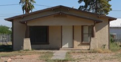
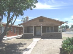
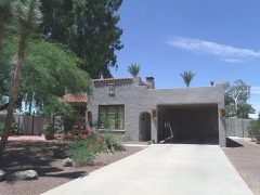
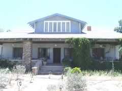
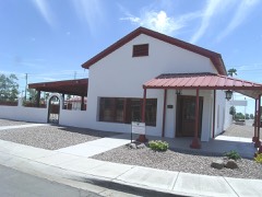
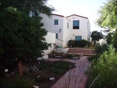
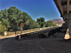
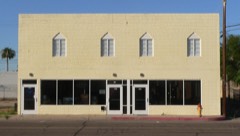
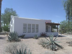
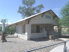
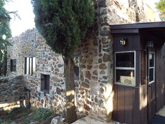
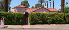
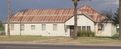
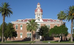
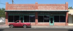
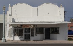
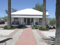
Every property in this county listed on the National Register of Historic Places, with the year it was listed and the federal nomination document.
Sampled issues, machine-read from the Library of Congress scan and published page by page, so every headline and column is searchable text.
Arizola, Ariz., 1893 to 1920. Machine-read from the Library of Congress scan.
Coolidge, Ariz., 1930 to Current. Machine-read from the Library of Congress scan.
Florence, Ariz, 1892 to 1901. Machine-read from the Library of Congress scan.
Ray, Ariz., 1910 to 1920. Machine-read from the Library of Congress scan.
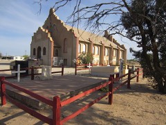
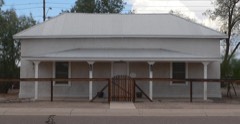
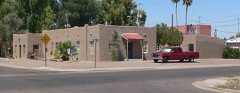
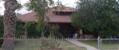
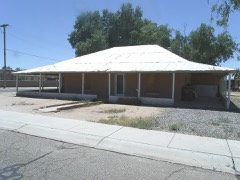
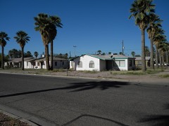
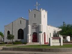
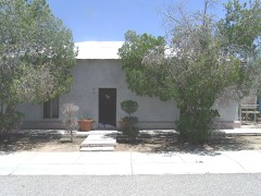
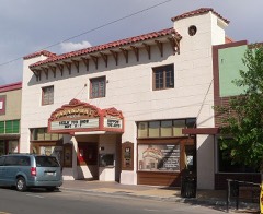
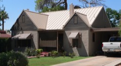
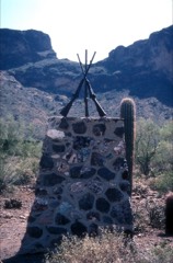
Selected from the Digital Public Library of America's 24 image records catalogued for this county. Every one shown here carries a public-domain status or a licence that permits reuse on a site that carries advertising; non-commercial, share-alike and restricted images are excluded. The selection is spread across the county's towns (at most eight per town), so no single institution's bulk upload crowds out the rest. Each opens the holding library's record, and the complete set at the Digital Public Library of America is one click away.
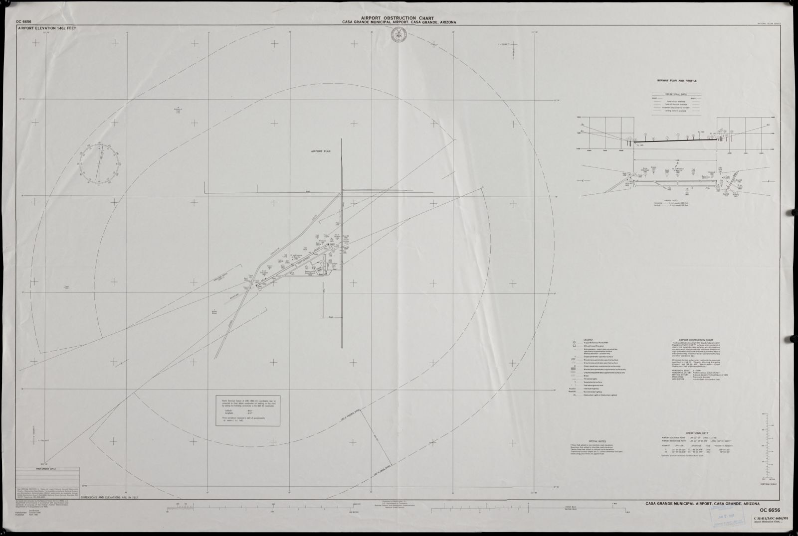
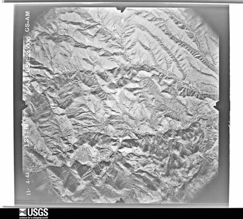
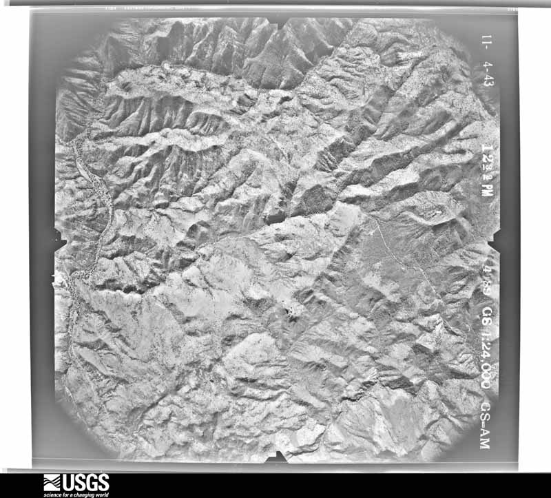
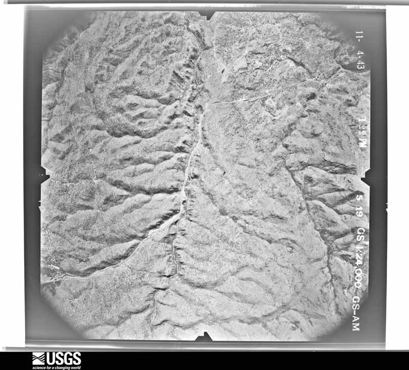
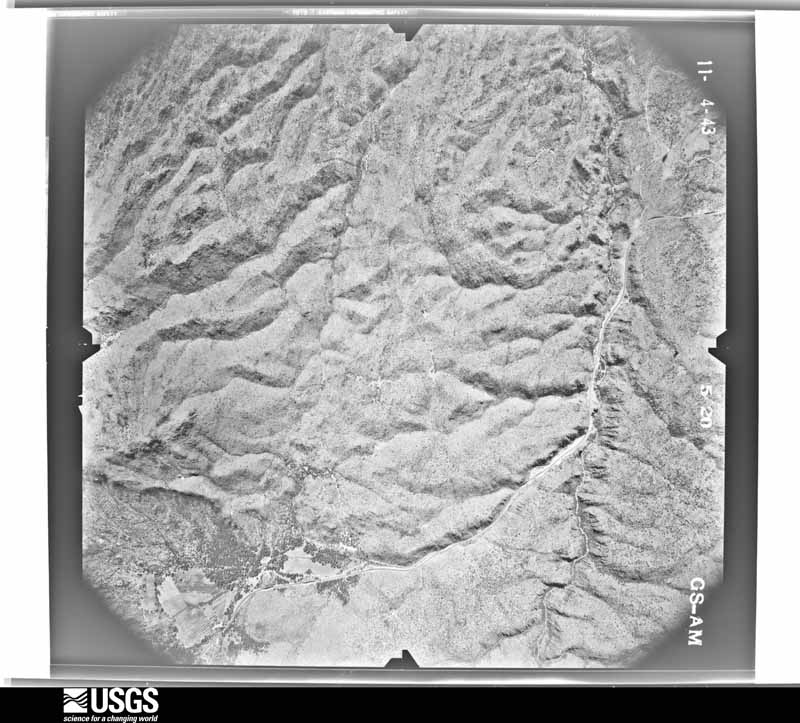
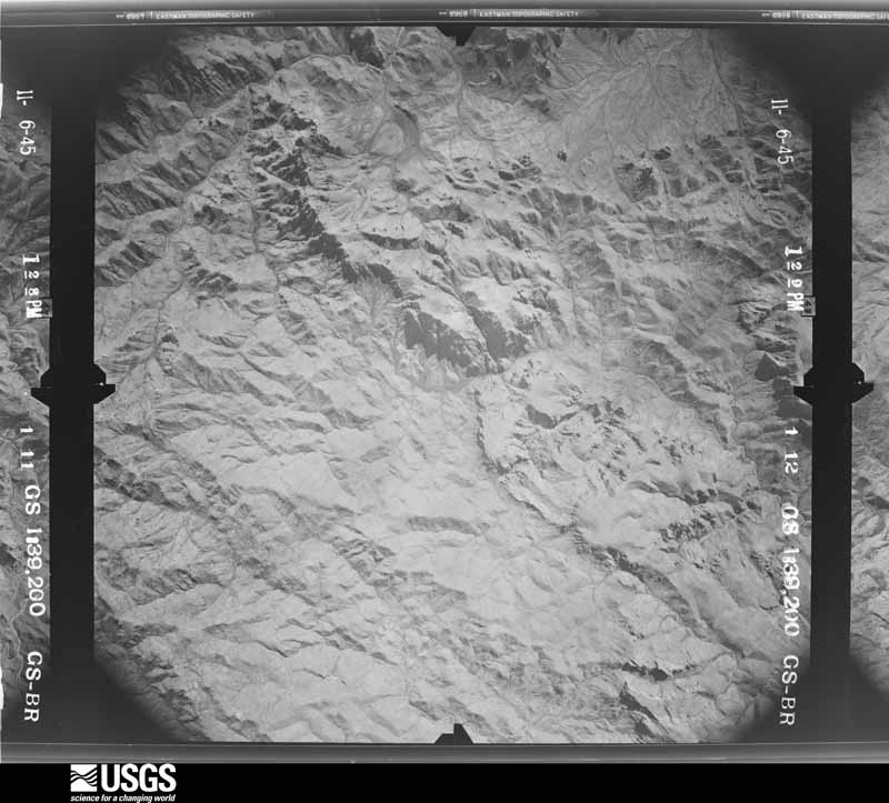
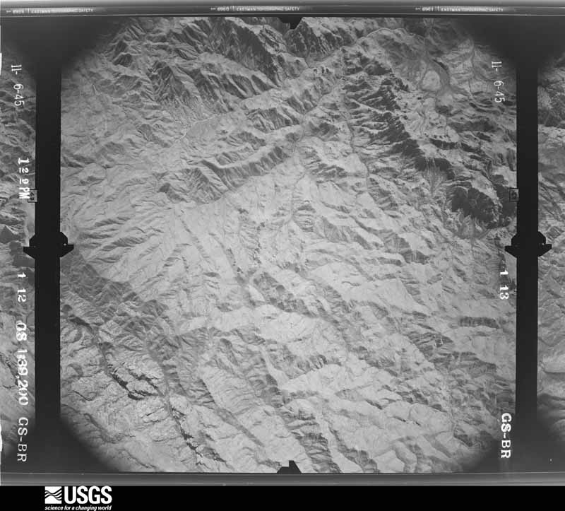
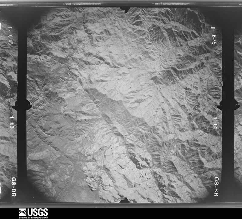
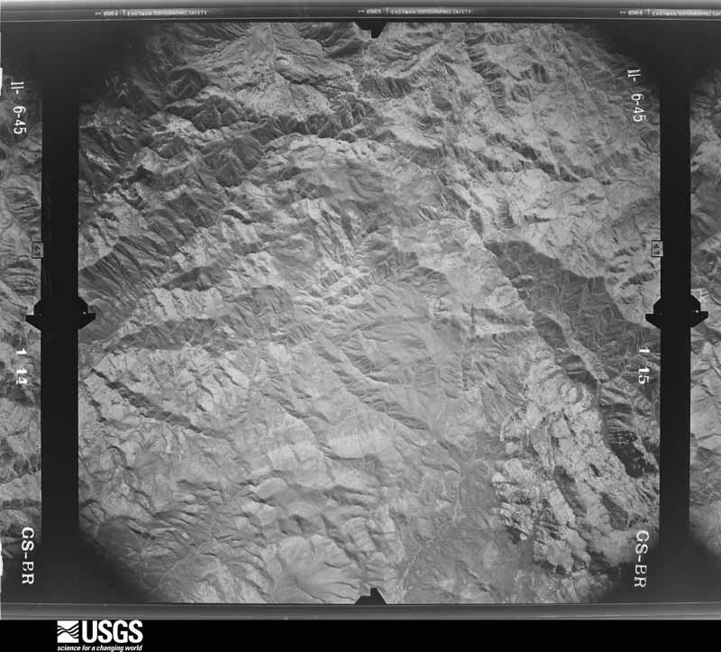
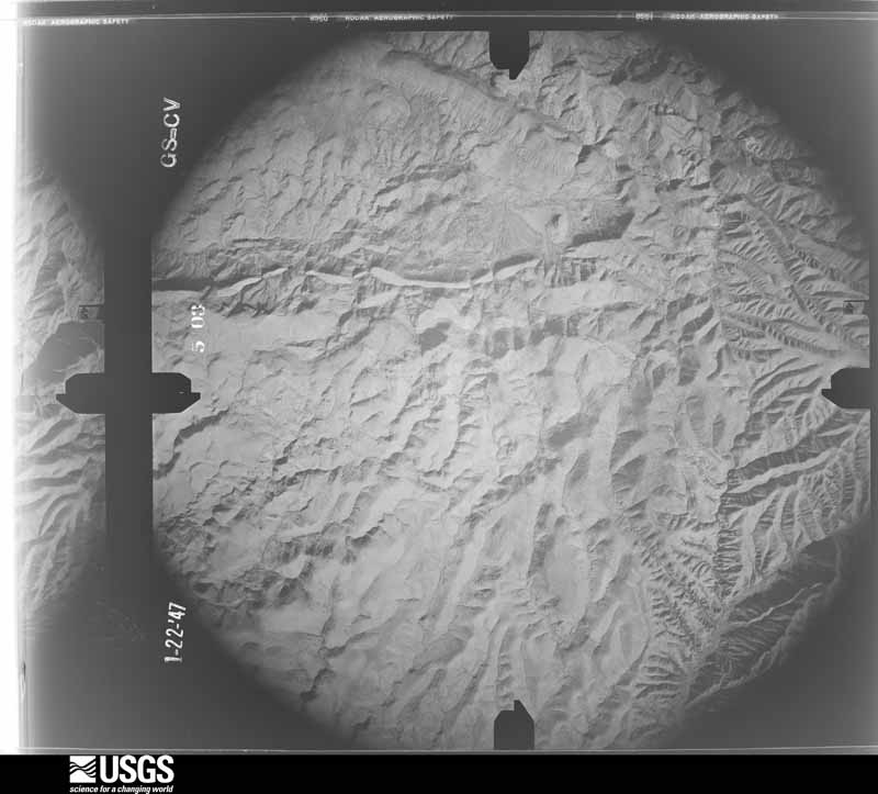
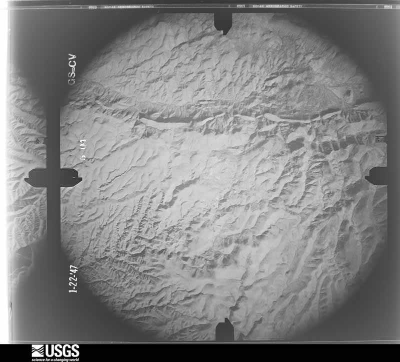
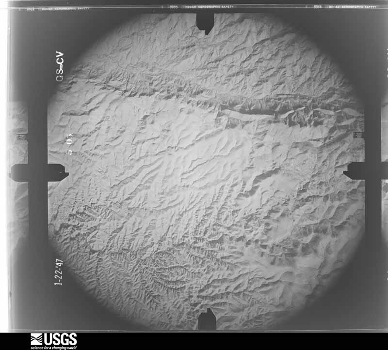
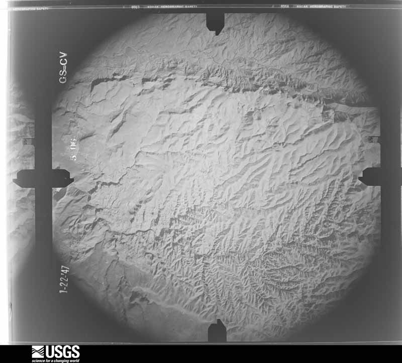
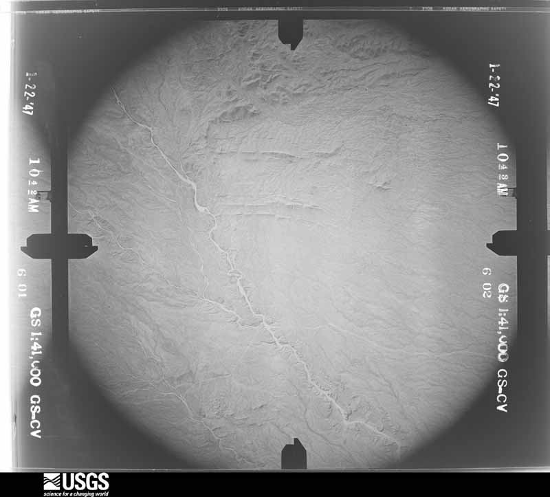
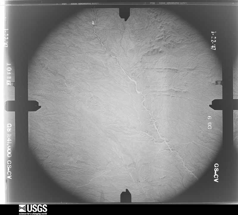
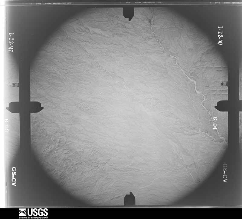
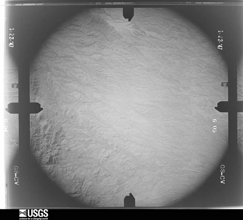
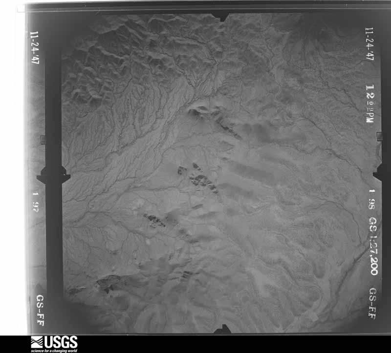
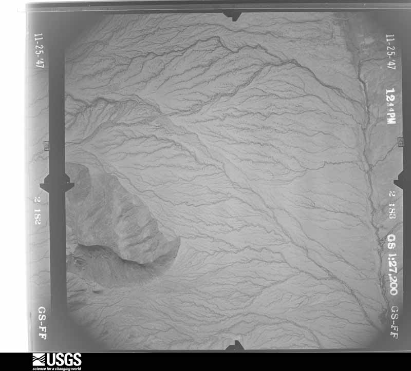
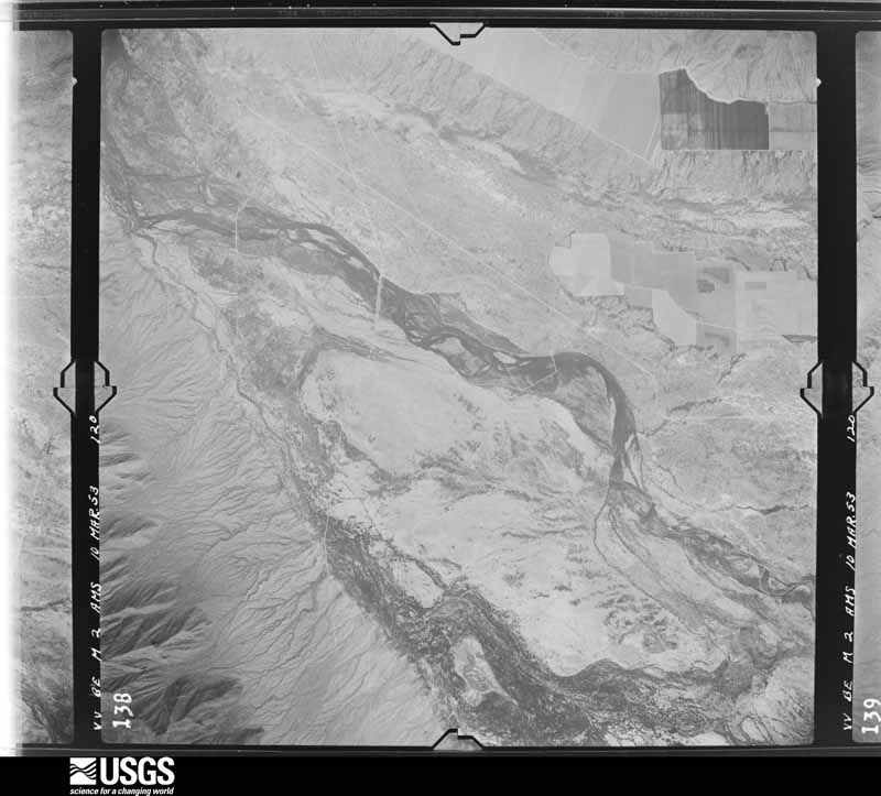
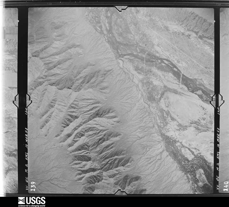
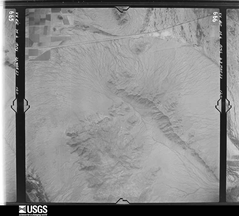
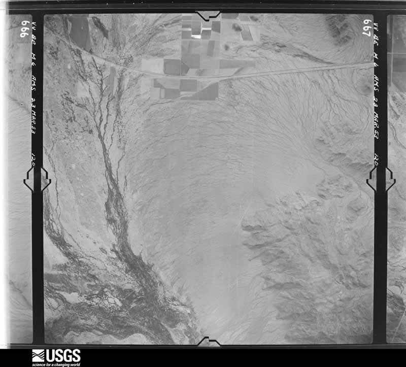
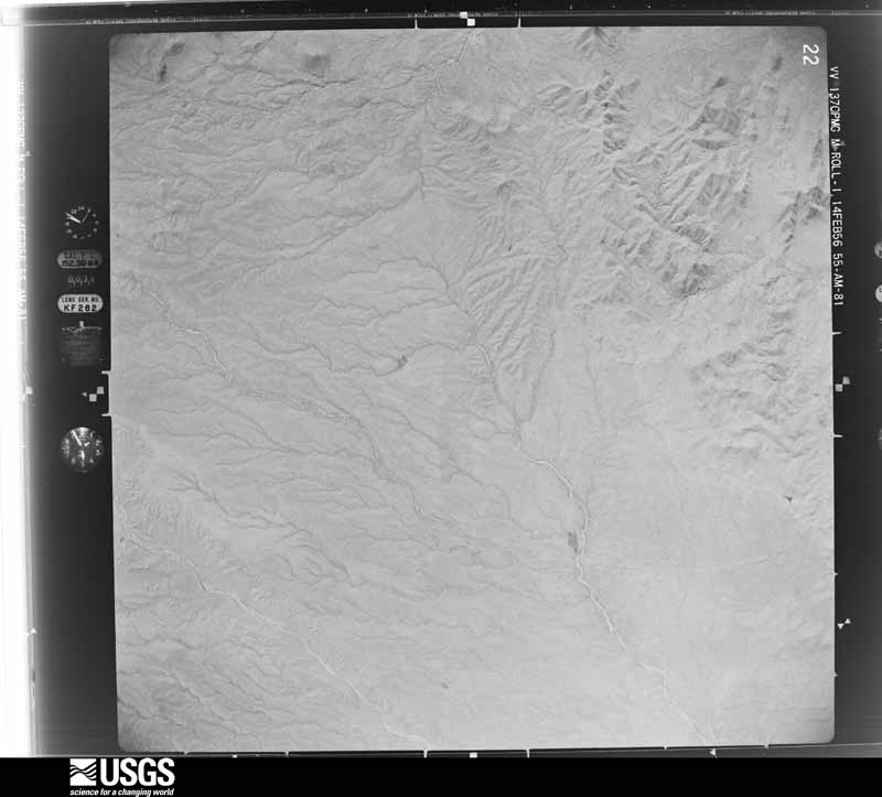
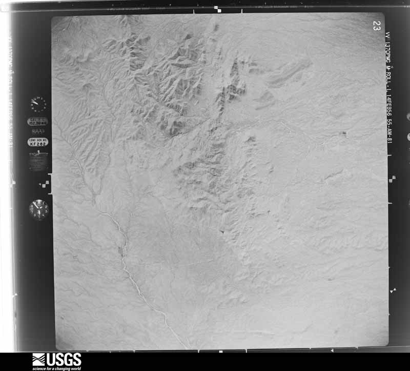
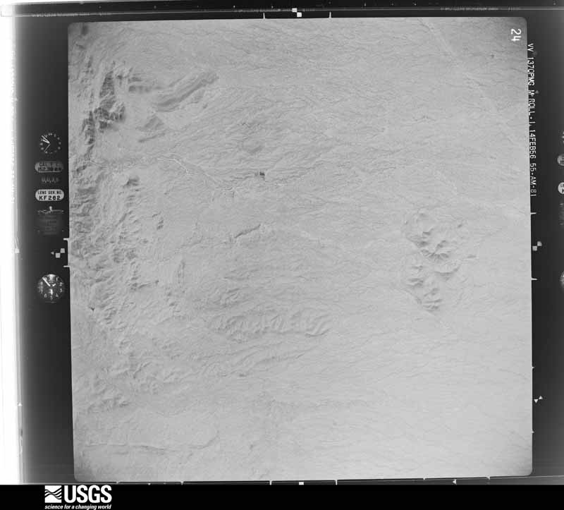
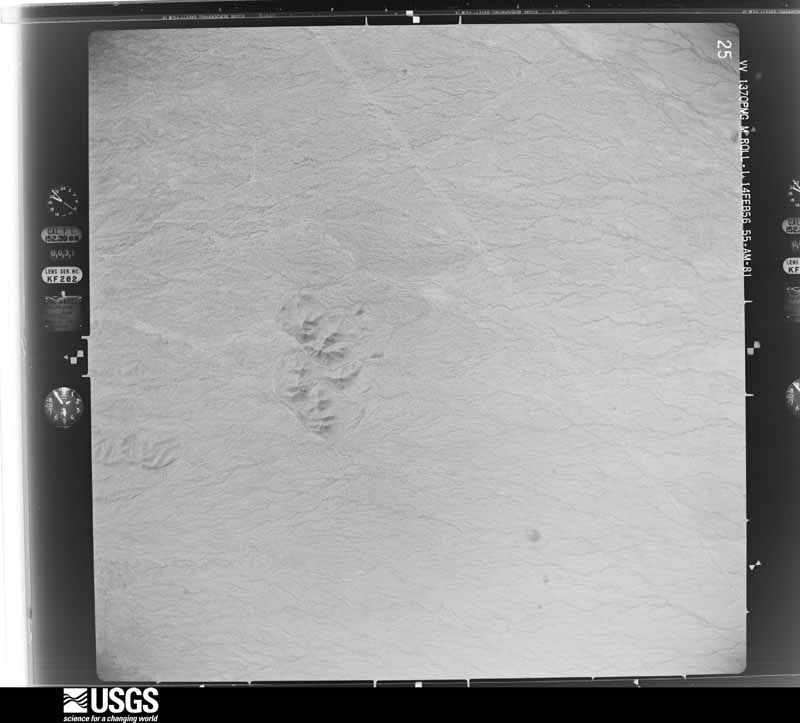
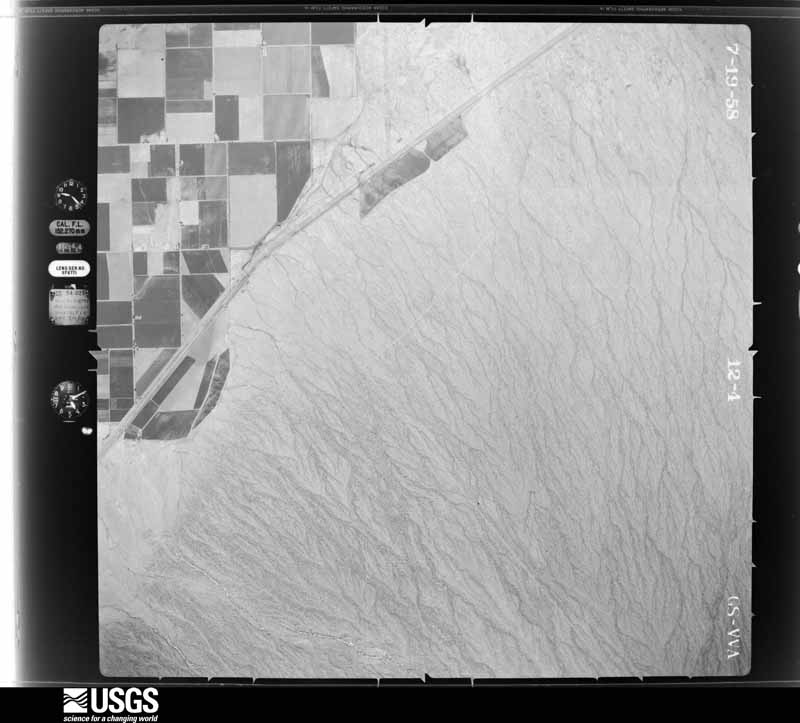
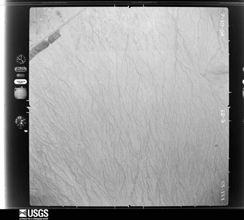
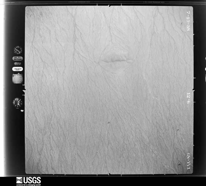
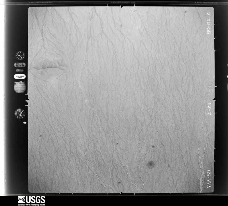
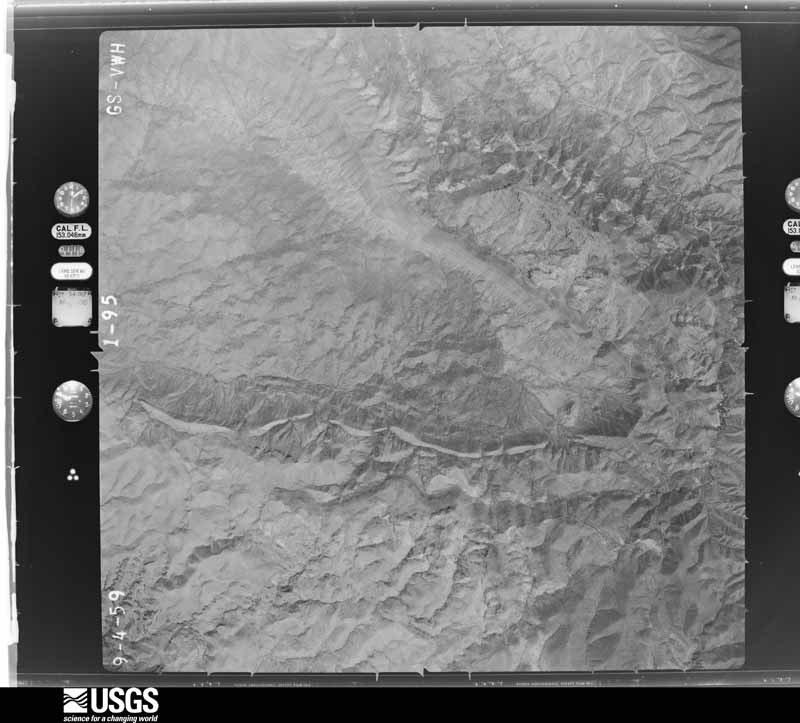
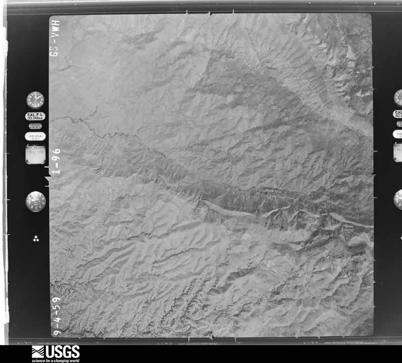
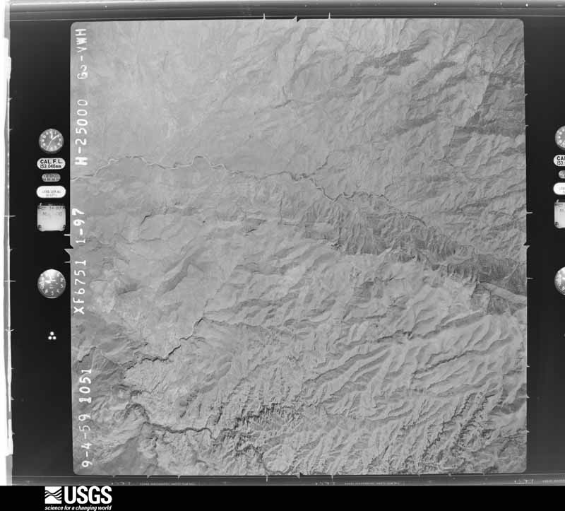
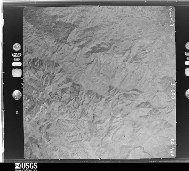
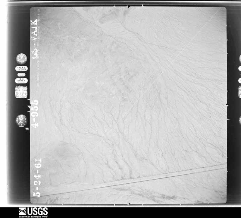
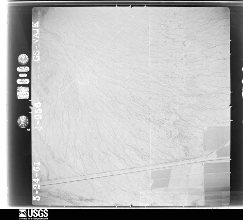
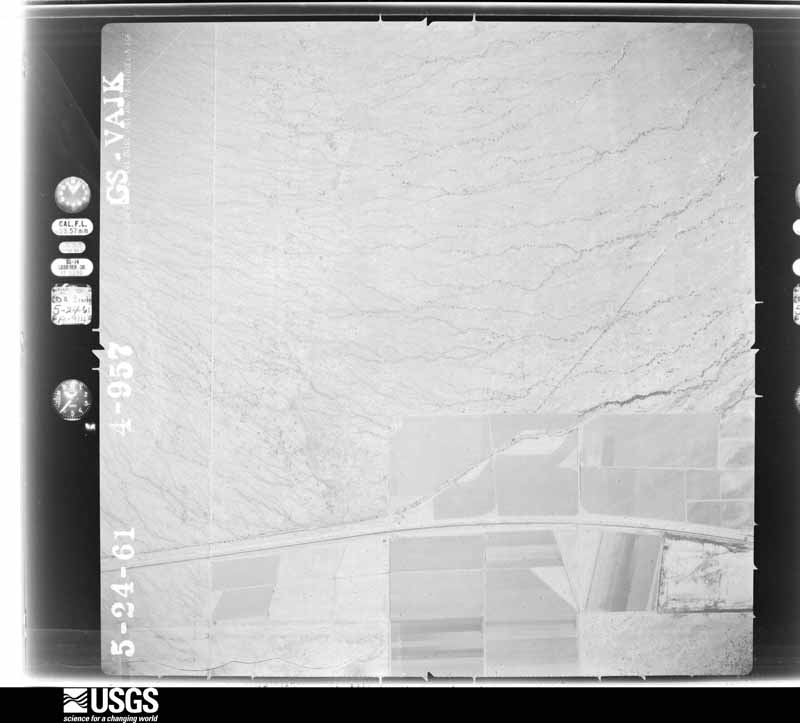
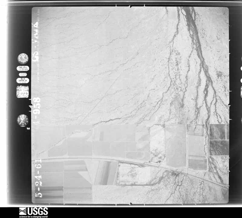
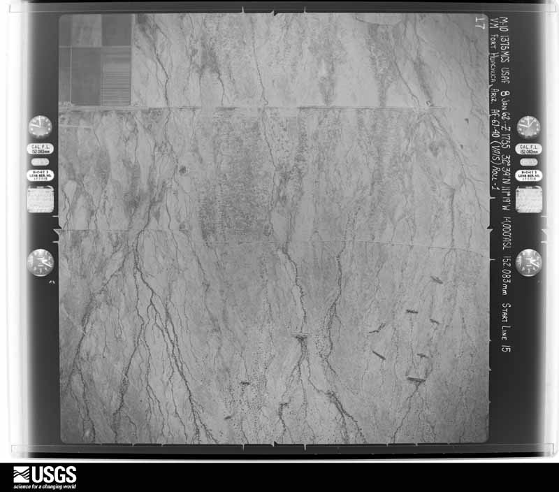
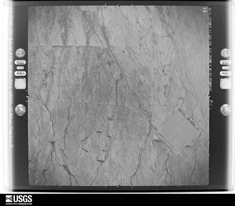
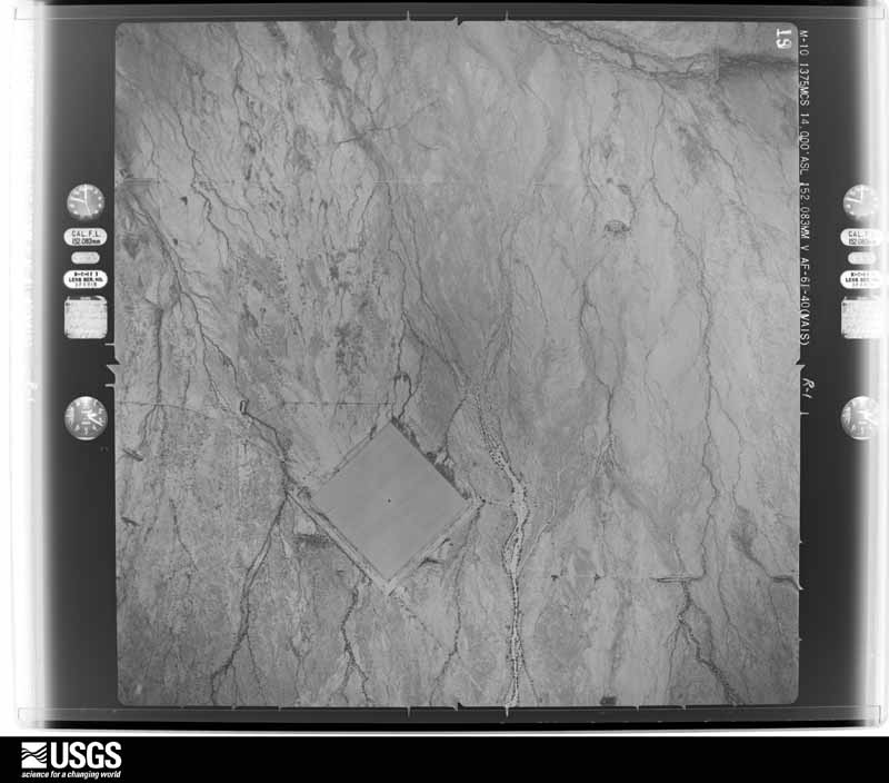
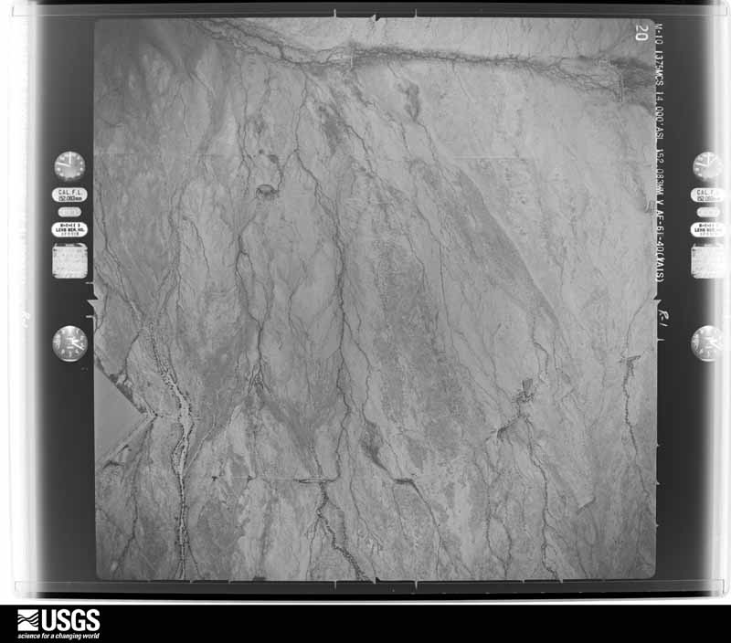
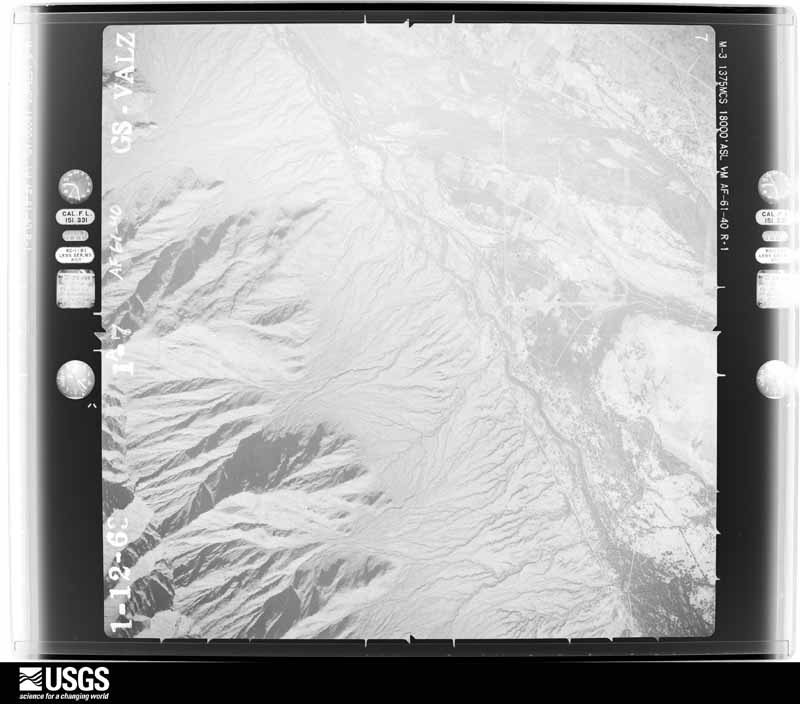
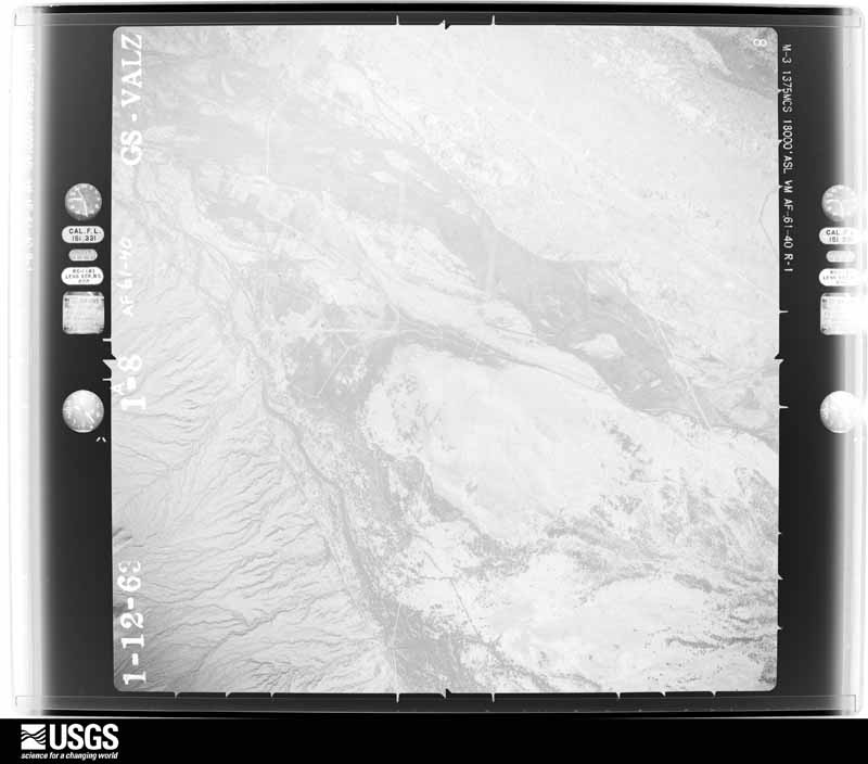
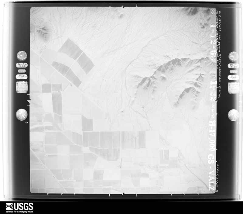
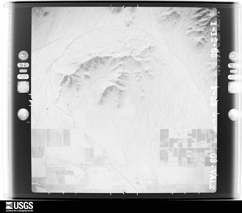
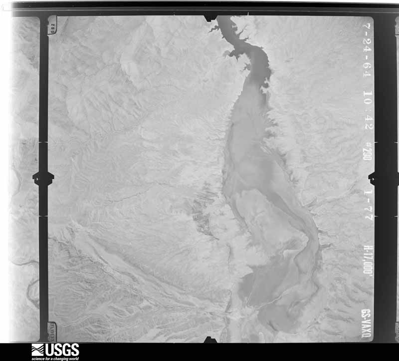
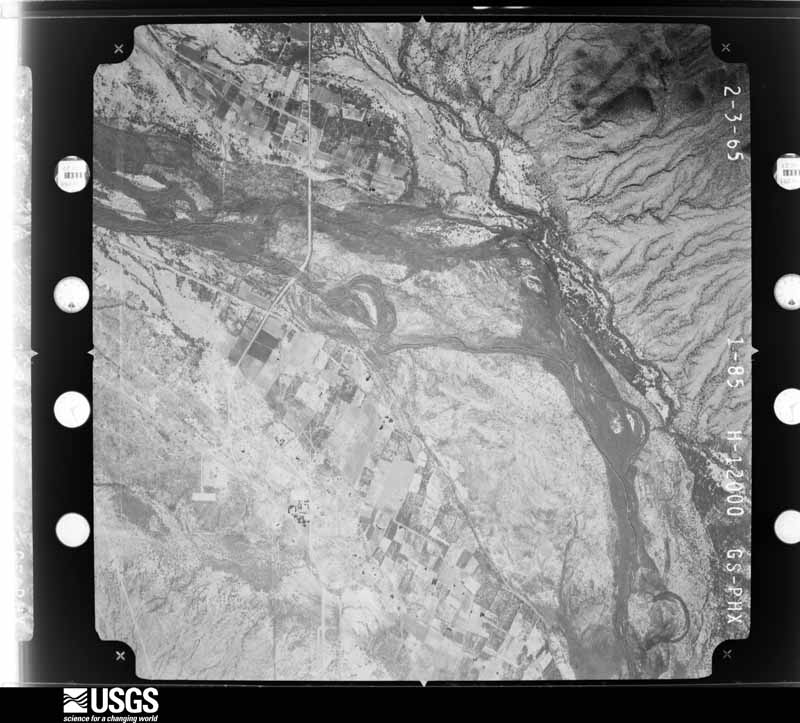
Flown by the U.S. Geological Survey between 1937 and 1989, the Aerial Photo Single Frames collection is the definitive mid-century view of the land: fields, roads and rivers as the camera saw them. The Survey holds 15,676 frames inside the rectangle that bounds this county; the 48 frames below were taken over the county itself, chosen across the decades of flights (at most four a year from that rectangle), so one flight cannot crowd out the rest. The full set is free to browse and download at EarthExplorer under the dataset Aerial Photo Single Frames.
The thermometers that kept this county's weather, and the gages that measured the flow of its streams, as the federal records hold them. The extremes below are measured values from those records, not estimates.
Who lived here in 1950, one enumeration district at a time, as the Census Bureau described each district. Each row opens its official National Archives result, with Population Schedules and ED Maps available there.
Every wildfire the federal occurrence database records inside this county: 6,828 of them, burning about 392,075 acres. 326 started naturally and 505 were recorded as arson. Each settlement page carries the fires within five miles of it.
| Reported cause | Fires |
|---|---|
| Missing data/not specified/undetermined | 4064 |
| Debris and open burning | 1014 |
| Arson/incendiarism | 505 |
| Natural | 326 |
| Equipment and vehicle use | 307 |
| Smoking | 251 |
| Misuse of fire by a minor | 122 |
| Recreation and ceremony | 103 |
| Railroad operations and maintenance | 82 |
| Fireworks | 17 |
| Firearms and explosives use | 15 |
| Power generation/transmission/distribution | 14 |
| Other causes | 8 |
The five largest, by the area the report gives. None of them was recorded as arson.
| Date | Cause | Size | Reported by | Name on the report |
|---|---|---|---|---|
| 8 June 2019 | Recreation and ceremony | 123,875 acres | Tonto National Forest | WOODBURY |
| 30 May 2020 | Natural | 24,729 acres | Tonto National Forest | SAWTOOTH |
| 21 August 2020 | Natural | 19,506 acres | San Carlos Agency | ROCKHOUSE |
| 29 June 2005 | Recreation and ceremony | 17,131 acres | Phoenix District Office | SAND TANK |
| 25 June 1993 | Missing data/not specified/undetermined | 12,495 acres | Arizona Department of Forestry and Fire Management - State Office | SPRINGS |
| 18 July 2005 | Natural | 11,000 acres | Tonto National Forest | PEACHVILLE |
| 20 August 2020 | Natural | 9,539 acres | Tonto National Forest | SUPERSTITION |
| 24 June 1995 | Missing data/not specified/undetermined | 5,471 acres | Phoenix District Office | WHITECANYO |
Every settlement page carries the fires within five miles of it - see the settlement index below.
The NOAA Storm Events Database holds 740 reports for this county, causing 9 deaths, 71 injuries and about $36,632,350 in recorded property damage. Each settlement page carries the reports that name it.
| Kind of event | Reports |
|---|---|
| Thunderstorm Wind | 409 |
| Flash Flood | 131 |
| Hail | 78 |
| Heavy Rain | 44 |
| Tornado | 30 |
| Flood | 26 |
| Lightning | 9 |
| Funnel Cloud | 8 |
| Debris Flow | 3 |
| Dust Devil | 2 |
The most serious of them, by death, then injury, then recorded damage. The accounts are quoted exactly as the forecast office filed them.
| When | Event | Place named | Harm | What the report says |
|---|---|---|---|---|
| August 1988 | Thunderstorm Wind | not stated | 2 killed, 17 hurt | no account filed |
| September 2006 | Flash Flood | Florence Jct | 2 killed | A Gilbert man and his 9-year-old son drowned Saturday crossing a wash flooded with up to 6 feet of water. A Pinal county Sherif's Office spokesman said they were on an unmaintained road when they reached the wash about 2:30 pm and entered it. The current rolled the SUV. Two other occupants escaped the vehicle and clung to a tree until help arrived. |
| September 1993 | Thunderstorm Wind | Casa Grande | 1 killed, 2 hurt, $500,000 | A severe thunderstorm moved into the far northern part of the city of Casa Grande, and overturned a mobile home which pinned a small child underneath. The little girl later died of her injuries. The very strong thunderstorm winds also downed power lines and blew down a medium-size pine tree. Heavy rains also flooded part of Interstate 10 near mile post 190, and a subdivision had to be cordoned off due to high waters. (F03M) |
| October 2000 | Lightning | Casa Grande | 1 killed, 1 hurt | A 17 year-old girl was killed and her 3 year-old nephew was burned . |
| August 2003 | Flash Flood | Oracle | 1 killed, $50,000 | Around 1.50 to 1.75 inches of rain fell in 30 minutes, with isolated reports of 1.90 inches. The Bonito Wash flooded several homes in the Campo Bonito area. Along the Canada del Oro Wash, the Rancho Solano gauge recorded a 9 foot rise of water. Several houses sustained flood damage. To compound the problem of the fast rising water, two culverts at a bridge downstream became blocked. |
| September 2014 | Flash Flood | Camp Bonito | 1 killed, $20,000 | Heavy rainfall from Norbert extended into the early afternoon hours. Several additional swift water rescues occurred. One occurred in the Pima Wash on Rudasill Rd between 1st Avenue and Oracle Road, where a single occupant was successfully rescued after his vehicle was swept off the road by quickly flowing water. Around the same time but further north, a swift water rescue occurred near Hardy Rd and Northern Ave in Oro Valley. Yet another rescue occurred when a 69-year old man and his 76-year old wife got caught in flash flood waters near Highway 79 in Oracle Junction. The couple attempted to drive through flood waters near Suizo Road when their Honda Accord began floating down Cadillac Wash. They both exited the car and the man made it to dry land, but his wife was regrettably swept down the wash and perished as she was unable to swim. |
| July 2012 | Flash Flood | Bapchule | 1 killed | Strong thunderstorms developed across the southeast portions of the greater Phoenix metropolitan area during the afternoon hours on July 29th. Due to the very humid and unstable nature of the airmass, the storms were able to produce locally heavy rainfall with rates in excess of 2 inches per hour. The rains led to flash flooding; at about 5 pm a Flash Flood Warning was issued for the southeast valley including the community of San Tan Valley. According to the Pinal County Fire Department/Rescue, at 620 pm a 2 year boy died after he was swept down a flooded wash that ran behind his San Tan Valley home. A citizen on an ATV found the child and brought him to emergency crews, who performed CPR on the boy before taking him to Banner Ironwood Hospital. He died later that evening. |
| July 1990 | Thunderstorm Wind | not stated | 15 hurt | no account filed |
| July 1990 | Thunderstorm Wind | not stated | 9 hurt | no account filed |
| June 1972 | Tornado (F1) | not stated | 8 hurt, $2,500,000 | no account filed |
| June 1972 | Tornado (F1) | not stated | 5 hurt, $250,000 | no account filed |
| July 2009 | Thunderstorm Wind | Santan | 4 hurt, $250,000 | About 25 homes on the Gila River Indian Community sustained damage with many trees uprooted. Power poles were blown down at highway 587 and Sesame Street. Four persons suffered minor injuries. |
| August 2018 | Thunderstorm Wind | Eloy Muni Arpt | 2 hurt, $250,000 | Unusually strong monsoon thunderstorms developed to the southeast of Phoenix during the afternoon hours on August 2nd, and they moved steadily to the north and into the deserts around Eloy and Casa Grande during early evening bringing very damaging microburst winds to the area. Atmospheric conditions were especially favorable for the formation of damaging downburst winds and according to a report from the local fire department and rescue units, at about 1815MST microburst winds estimated to be at least 80 mph in strength completely demolished 2 mobile homes located 6 miles northeast of Arizona City and just east of the intersection of Interstate 8 and 10. In addition to the 2 homes destroyed, 2 more mobile homes suffered significant roof damage. 4 additional homes were knocked off of their pedestals. 2 people were transported to a local hospital with non life-threatening injuries. Times of the damage were estimated based on local radar information. There was a Severe Thunderstorm Warning in effect at the time of the damage; it was issued at 1757MST and it remained in effect until 1830MST. |
| July 2010 | Flash Flood | Florence Jct | 2 hurt, $50,000 | Heavy rain resulted in flooded roads in Queen Valley. Radar estimated rainfall rates of 1 to 1.5 inches per hour. Some roads were impassable. Two vehicles were carried away by a flash flood at Silver King road and Jay Street. The occupants of one vehicle were slightly injured and refused transport to a local hospital. |
| August 2011 | Thunderstorm Wind | Eloy | 1 hurt, $1,000,000 | Thunderstorm winds up to 75 mph impacted Eloy, Arizona when a microburst descended near the Volvo equipment rental facility. These strong winds resulted in significant damage in a divergent pattern across southeast portions of Eloy. A total of 20 homes sustained significant damage. Some had roof structures blown off, while some suffered total roof collapses and one had a tree fell on it and a nearby vehicle. Of the 20 homes, 14 were condemned. Several other homes sustained damage due to flying debris while still others only had shingle damage. In addition, eight businesses were damaged beyond repair including one that also collapsed onto cars and equipment. Several power poles were also downed resulting in widespread power outages in the August heat forcing Eloy to set up a cooling center in a local high school. A number of semi-tractor trailers were also blown over in a parking lot. One person sustained minor injuries when winds ripped the roof off a mobile home. |
| August 1993 | Thunderstorm Wind | Coolidge | 1 hurt, $500,000 | Thunderstorms and the associated microburst winds destroyed at least one unoccupied mobile home and severely damaged many others. Trees were uprooted and signs blown over as the storm moved to the northeast. |
| July 2005 | Thunderstorm Wind | Bapchule | 1 hurt, $200,000 | Several homes destroyed or damaged due to winds. One mobile home was flipped over several times with the resident suffering multiple injuries. |
| October 2018 | Hail | Coolidge | 1 hurt, $5,000 | Thunderstorms with very large hail developed to the southeast of the greater Phoenix area during the afternoon hours on October 21st. Some of the stronger storms produced hail with diameters well in excess of one inch and they affected the areas around the town of Coolidge. According to a report from the public, at 1628MST golf ball sized hailstones fell about 2 miles northeast of Coolidge and they resulted in property damage to a car and house window. At the nearby Lonestar Equestrian Center, the large hail caused minor injuries to some of the horses, and gashed the head of one of the cowboys during a roping contest. The center is located near the intersection of Attaway Road and Coolidge Avenue. The diameter of the largest hailstones was 1.75 inches. At the same time, local broadcast media reported additional large hail about 4 miles northeast of Coolidge. The media relayed a public report indicating that half-dollar sized hail had fallen in Valley Farms; the diameter of the largest hailstones was 1.25 inches. |
| July 2001 | Lightning | Apache Jct | 1 hurt | A man was shocked when lightning hit an electrical transformer in Apache Junction. |
| August 1997 | Thunderstorm Wind | Casa Blanca | 1 hurt | The second of two microbursts struck Casa Blanca, this one with more fury. It produced damage in the vicinity of Southern Road and Ruins Road, and destroyed three trailers, snapped eight power poles, knocked down trees, and caused minor injuries to one individual. |
| July 2021 | Flood | Friendly Corners | $7,500,000 | Widespread rain occurred on July 24 and 25 in the Santa Cruz River watershed in Pinal County and upstream in much of eastern Pima County with 48 hour rain totals of 3 to 4 inches common. High flows in the river traveled downstream into Greene Wash. A levee breached in the wash near Toltec Buttes and washed out a road, then flowed into a canal, causing damage along 3/4 mile of the canal. Further downstream in Greene Wash, Sunland Gin Rd was also flooded and damaged. Indian Route 15 near Chuichu was also flooded and two nearby homes sustained minor flood damage. |
| August 2007 | Thunderstorm Wind | Arizola | $5,000,000 | About 90 mobile homes damaged or destroyed at Las Casitas trailer park. One third of them were blown off their foundations. About 150 people evacuated due to damage and numerous gas leaks. Unknown number of people had minor injuries. Numerous trees were blown down and about a mile-long stretch of power poles were damaged. |
| September 2004 | Flash Flood | Florence | $2,000,000 | Local areas of heavy rainfall developed within a tropical-like environment across much of south-central Arizona. Locally windy conditions preceded the showers and thunderstorms during the late afternoon hours. A rather narrow band of heavy rain developed over mainly rural areas of northern Pinal County, which resulted in flooded homes and roads. Three to 5 inches of rain was reported in a 70 minute period in one northern portion of Pinal County, according to the county emergency manager. The worst damage occurred in the community of Queen Valley, where the sewage treatment plant had an initial damage estimate of $1.5 million. Gov. Napolitano declared an emergency and designated $200,000 to help repair roads and the sewage treatment plant. Several water rescues were made, and cars were washed out of carports. Flood waters carried various types of debris, and a propane tank was found in a tree. |
| September 2022 | Lightning | Bapchule | $1,500,000 | Local media reported a home was struck by lightning near Hunt Highway and Peace Pipe Place. The home caught fire and was fully destroyed. No injuries were reported. |
| July 2022 | Flash Flood | Apache Jct | $1,000,000 | Between 1 and 3 inches of rain fell within 1-2 hours across Apache Junction and the adjacent higher terrain north and east of the city, towards the Goldfield and Superstitions mountains. Water from those mountains drained down towards the area washes, including Weekes Wash, which runs through the city. Numerous roads were flooded and damaged along with multiple water rescues taking place of residents in homes that either were surrounded with water or had water inside them. One of the more dramatic water rescues occurred when a woman had to be rescued from her vehicle that was swept away by the flood waters of Weekes Wash and traveled half a mile downstream before encountering a box culvert. No injuries or fatalities were reported. |
| July 2021 | Flash Flood | San Manuel | $750,000 | Heavy rain of 1 to 1.5 fell in less than 1 hour along the entire length of the San Pedro River from San Manuel to Dudleyville and 3 fell near Dudleyville caused the river to rise rapidly, with a greater than 7 foot rise measured in one hour near Mammoth. Extensive flash flooding and severe damage to nearby roadways occurred in the San Manuel, Mammoth and Dudleyville areas. |
| July 2021 | Flood | Red Rock | $500,000 | Heavy rains upstream in the basin late July 22 into July 23, raised water levels in the Santa Cruz River and Greene Wash in Pinal County. Several roads were washed out where the Santa Cruz becomes multi-channeled from west of Pinal Airpark to southwest of Picacho. |
| August 2021 | Flash Flood | Avra | $500,000 | One to two inches of rain in less than an hour caused flash flooding in south central Pinal County. Considerable damage occurred to Park Links Rd. between Cattle Tank Rd. and the I-10 Frontage Rd. McClellan Wash also flooded Milligan Rd. resulting in its closure. |
| September 2014 | Thunderstorm Wind | Picacho | $500,000 | Thunderstorm winds damaged 6 warehouses at the cotton-storage facility STS Land Holding in Eloy. Four warehouses were listed as a 30 to 50 percent loss. The other 2 buildings were still marginally usable. The warehouses, covered in tin, were mostly empty at the time. A few minutes later, 39 out of 107 cars on a Union Pacific train were derailed near the Interstate 10 Picacho exit. The freight containers were empty at the time. No one was injured. Extensive damage to the tracks also resulted causing the rail line to remain out of service until repairs were completed, three days later. |
| July 2008 | Flash Flood | Magma | $500,000 | Flooding caused the closure of state route 79 after heavy rain moved through the area. The gage at Magma recorded a storm total of 2.99 inches from the evening of the 10th into the early morning hours on the 11th of July. |
| July 2002 | Thunderstorm Wind | Sacaton | $500,000 | Damage from strong winds extended over a large area of north central and northwest Pinal County. Trees were uprooted in Coolidge and homes were damaged in Florence. Winds were clocked at 55 mph on an automatic weather station 20 miles south of Queen Creek. A spotter reported two roofs ripped off maintenance buildings at the Sacaton Middle School, where winds were estimated as high as 80 mph. Another spotter driving along I-10 near Casa Grande reported freeway signs blown down as dense blowing dust hit the area. A power pole was also blown down across McCartney Road just south of Casa Grande. Eight mature trees were uprooted at the Central Arizona College with power and telephone outages lasting into Wednesday morning. |
| July 2013 | Flash Flood | Apache Jct | $350,000 | On July 21st, numerous showers and thunderstorms developed during the morning hours across portions of south central Arizona, including the greater Phoenix area, and they intensified into the early afternoon, producing locally heavy rain with rain rates in excess of 2 inches per hour. The heavy rain led to widespread flooding of streets and washes across Apache Junction, which was hit harder by flooding than the surrounding communities. Area spotters reported rain totals between one and two inches within an hour due to the heavy rain. At 1212 pm, an Urban and Small Stream Flood Advisory was issued for Apache Junction and surrounding communities, and this advisory was upgraded to a Flash Flood Warning at 1252 pm. According to a trained weather spotter, at 119 pm flash flooding was occurring in the Weeks Wash in Apache Junction and water was flooding into surrounding residential yards. The flash flooding continued into the early afternoon and a 212 pm, local law enforcement reported that a water rescue took place in Weeks Wash. Apache Junction Firefighters, wading through thigh-high water, rescued 2 people whose pickup truck stalled in the middle of the wash according to Deputy Fire Chief Mike Farber. Additionally, two 19 year old men were trapped in a tree near Lost Dutchman State Park until they were rescued by an Arizona Department of Public Safety helicopter and the Pinal County Sheriff's Office. |
| October 2025 | Flash Flood | Florence Jct | $300,000 | Reports of at least 15 homes flooded in the Queen Valley area just south of Whitlow Canyon, with at least two homes considered destroyed due to the high water levels. A search and rescue operation was performed. No injuries reported. |
| July 2013 | Flash Flood | Apache Jct | $300,000 | On July 21st, numerous showers and thunderstorms developed during the morning hours across south central Arizona including portions of the greater Phoenix area, and they intensified into the early afternoon, producing locally heavy rain with rain rates in excess of 2 inches per hour. The heavy rain led to widespread flooding of streets and washes across Apache Junction, which was hit harder by flooding than the surrounding communities. Area spotters reported rain totals between one and two inches within an hour due to the heavy rain. At 1212 pm, an Urban and Small Stream Flood Advisory was issued for Apache Junction and surrounding communities, and this advisory was upgraded to a Flash Flood Warning at 1252 pm. According to reports from local broadcast media, at 248 pm flash flooding from washes near Tomahawk Road and Superstition Boulevard had spilled into nearby homes and forced several rescues from stranded cars and trucks. The Flash Flood Warning continued until 345 pm and at that time it was changed to a Flood Warning which ran through 645 pm. |
| September 2010 | Thunderstorm Wind | Stanfield | $300,000 | A trained weather spotter reported significant wind damage to portions of Stanfield. Several mobile homes were rolled over or destroyed. One house lost it's roof. Additional damage was reported in the vicinity of Javelina and Conejo Avenue. The damage was due to severe microburst winds estimated to be in excess of 80 knots. |
| January 2010 | Flash Flood | Blackwater | $300,000 | About 18 inches of water flooded roads and homes near Blackwater and Toki. In Arizona City, 4 homes had flood damage that lasted several days. Generally between 2 and 4 inches of rain fell in this area during the 5 days ending on January 22. |
| August 2006 | Flood | Arizona City | $300,000 | Numerous streets and fields flooded south of Arizona City after the Santa Cruz Wash was breached upstream of Arizona City. One area that was hit the hardest was Silver Bell Estates. Three structures flooded in the town of Kearny. |
| July 2018 | Thunderstorm Wind | Florence | $250,000 | Strong thunderstorms developed over the higher terrain of eastern Arizona during the afternoon hours on July 30th and some of the stronger storms produced gusty damaging microburst winds that impacted the community of Florence. According to aerial survey footage taken by local broadcast media, multiple mobile homes were destroyed about 1 mile northeast of the town of Florence. The damaged homes were just southeast of the intersection of Butte Avenue and the Pinal Parkway. The damage occurred at roughly 1830MST. According to radar imagery, a downburst wind pattern affected the homes, with peak wind gusts estimated to be at least 75 mph in strength. At about the same time the Pinal County Office of Emergency Management reported that strong wind gusts downed a Mesquite tree in Florence, near the Highway 79 and Butte Avenue intersection. The diameter of the downed tree was 21 inches. The tree was blown over and landed on a car; the car was destroyed in the process. No injuries were reported due to the strong wind damage. |
| October 2018 | Flood | Lirim | $250,000 | Copious amounts of tropical moisture spread north and into the deserts south of Phoenix during the morning hours on October 2nd, resulting in widespread moderate to heavy showers. During the morning hours, flash flooding was noted southwest of Ak Chin Village and the town of Maricopa and flash flood warnings were issued. Flash flooding was partially due to the Vekol Wash overflowing. Later in the morning after the intense rainfall had mostly ended, flash flooding gave way to areal flooding. According to a local emergency manager, at 1415MST areal flooding was observed about 3 miles southwest of the Ak Chin Village. The flood waters surrounded 20 homes and there was flood water inside at least one home near Peters and Nall Road. The flooding was due to the Vekol Wash flowing into a canal which subsequently became breached. No injuries were reported due to the flooding. An Areal Flood Warning was not issued. |
| July 2012 | Heavy Rain | Arizona City | $250,000 | A cluster of thunderstorms developed in the area from Casa Grande southeast to Arizona City; the storms produced locally heavy rainfall during the late morning hours on July 4th. Radar estimates, as well as surrounding rain gage reports, suggested that three hourly totals between one and two inches occurred in the community of Arizona City between 9 am and noon. A weather report received via CoCoRaHS indicated 1.05 inches of rain fell in Arizona City, as of 9 am. Pinal county law enforcement reported road closures in Arizona City due to heavy rainfall. According to a local news report, a number of residents of Arizona City experienced significant urban flooding during the morning due to the heavy rains; water up to a foot deep flooded their subdivisions and flowed into their homes, causing water damage to the first floor as well as their patios/pavers. Insufficent drainage allowed the locally heavy rains to quickly pond up across the lower elevations of Arizona City, and the water levels remained high through the afternoon hours. |
| August 2006 | Flood | Dudleyville | $250,000 | Three homes were destroyed and a county bridge was damaged along Arivaipa Creek. One home in the town of Dudleyville was flooded. |
| November 1986 | Tornado (F1) | not stated | $250,000 | no account filed |
| September 1981 | Tornado (F1) | not stated | $250,000 | no account filed |
| September 1971 | Tornado (F1) | not stated | $250,000 | no account filed |
| July 2015 | Flash Flood | San Manuel | $225,000 | Heavy rain of 2 inches in an hour caused flash flooding in San Manuel, which caused severe road damage. Public works estimated hundreds of thousands of dollars in damage to Avenues A, B, G, and Webb Drive. |
| August 2011 | Thunderstorm Wind | Magma | $225,000 | Thunderstorms with damaging microburst winds affected the area around Magma during the afternoon hours on August 18th. According to a report from the local utility company, approximately 30 power poles were blown down in the Johnson Ranch area, along the Hunt highway near Judd road. Winds were estimated to be in excess of 50 knots. |
| July 2008 | Thunderstorm Wind | Apache Jct | $200,000 | Spotters in two locations in Apache Junction had gusts to 67 and 89 mph. |
| August 2007 | Thunderstorm Wind | Coolidge | $200,000 | About 11 power poles were destroyed along the west side of Arizona Boulevard on the edge of the Casa Grande Ruins National Monument in Coolidge. Power was out for about 2300 households and businesses for more than 40 hours. Phone service was disrupted. Winds also uprooted trees in the area.|The Red Cross estimated that more than 340 people had received assistance in the form of food, water and shelter since a cooling station was established at the high school. |
| July 2022 | Thunderstorm Wind | Avra | $150,000 | Thunderstorm winds downed numerous poles down northeast of Red Rock along Park Link Rd between Cattle Tank Rd and Interstate 10. At a nearby tourist attraction, Rooster Cogburn Ostrich Ranch, winds downed additional poles; blew the roof off a residence and a large tent-like animal shelter; and flattened fences. |
| May 2012 | Thunderstorm Wind | Magma | $150,000 | A low pressure system moving east across southern Arizona spread moisture into south central Arizona which led to scattered thunderstorms over the lower deserts during the afternoon hours on May 9th. According to a trained weather spotter, microburst wind gusts estimated at 70 knots damaged 8 mobile homes in the Pleasant Valley Mobile Home Park at approximately 435 PM. The park was located near Germain and Ironwood, about 5 miles east of Queen Creek. Six of the homes had their northeast-facing awnings removed. The strong winds lifted up the overhangs and in some cases removed portions of the roofs. Many of these homes were blown off of their foundations. The strong microburst winds were likely enhanced by a gustnado, which increased the severity of the damage. In addition to the mobile home damage, the strong winds blew down a number of power lines in the area. |
| July 2011 | Thunderstorm Wind | Sacaton | $150,000 | According to a local storm chaser, strong thunderstorm microburst winds estimated to be in excess of 50 knots knocked down 20 power poles approximately 4 miles west of Sacaton. |
| August 2016 | Flood | Coolidge Florence Ar | $100,000 | Several inches of rainfall caused significant flows on the McClellan and Durham Washes. Water traveled downstream, overflowing at in spots into parts of Picacho and Eloy. This caused flooding and a few evacuations of homes east of I-10. Significantly impacted areas included Picacho Blvd at Oak Lane, Picacho Hwy at Camino Adelante, and Houser Rd at SR-87. |
| July 2014 | Thunderstorm Wind | Toltec | $100,000 | Strong thunderstorms developed to the south of Casa Grande during the evening hours on July 8th, and they produced powerful outflow winds which spread to the north across northwest Pinal county, affecting the communities of Arizona City and Toltec. In addition to producing near zero visibility in dense blowing dust, the gusty winds also proved to be damaging. According to a viewer report forwarded to the NWS by April Warnecke (Channel 3 TV), wind gusts estimated up to 77 mph blew down wooden power poles over a mile long stretch of Milligan Avenue on the south side of Arizona City. Additionally, gusty winds from the same thunderstorms blew through the community of Toltec, causing significant damage to the Pinal county Attorneys office. The gusty winds, estimated to be in excess of 60 mph, twisted and destroyed a large amount of aluminum air conditioning ducting located on the building's roof. A Severe Thunderstorm Warning was not issued, instead a Significant Weather Advisory was issued at 1944MST, calling for gusty outflow winds to reach 45 mph. |
| September 2012 | Flash Flood | Apache Jct | $100,000 | Scattered to numerous showers and thunderstorms developed across portions of south central Arizona, including the community of Apache Junction, during the morning hours on Friday, September 7th. Radar and rain gage reports indicated that peak rainfall rates during the height of the storms were at least 2 inches per hour. The heavy rains prompted the issuance of a Flash Flood Warning from 953 am until 1130 am which included the community of Apache Junction. According to an on-line article in the East Valley Tribune, the Apache Junction Unified School District is going to close part of the Superstition Mountain Elementary School for up to four weeks to repair flood damage from the morning's heavy rains. Several buildings were flooded, so the school will temporarily move some of it's classes and offices. |
| August 2010 | Thunderstorm Wind | Oracle | $100,000 | Thunderstorms moving into Oracle resulted in trees and power lines downed across a roadway. The most extensive damage was a roof blown off of a home located on Bonito Drive in Oracle. |
| August 2007 | Thunderstorm Wind | Arizona City | $100,000 | A microburst caused considerable damage near Arizona City, partially destroying structures and roofs, overturning cars and knocking down walls. |
| June 2006 | Thunderstorm Wind | Casa Grande | $100,000 | Roof damage reported in the Tierra Grande subdivision. |
| August 2006 | Thunderstorm Wind | Apache Jct | $100,000 | Severe thunderstorm winds...estimated at over 50 mph blew down trees and took down power lines. |
| August 2003 | Thunderstorm Wind | Magma | $100,000 | Johnson Ranch subdivision received damaging winds with signs blown down, homes damaged, and power poles down. |
| June 2000 | Thunderstorm Wind | Maricopa | $100,000 | Winds damaged or destroyed 6 mobile homes |
The Survey's mineral resources record lists 1,028 workings inside this county. 141 still produce and 887 are closed or unrecorded. Each settlement page carries the workings within five miles of it.
| Commodity | Workings |
|---|---|
| Copper | 274 |
| Sand and Gravel, Construction | 163 |
| Gold | 87 |
| Silver | 58 |
| Gold, Silver | 54 |
| Manganese | 48 |
| Lead | 33 |
| Silica | 33 |
| Silver, Gold | 30 |
| Perlite | 29 |
| Tungsten | 27 |
| Copper, Gold | 24 |
| Iron | 23 |
| Asbestos | 22 |
The least common of them first, because a county's hundredth gravel pit says nothing its first ten did not.
| Where | Site | Commodity | Status | Recorded |
|---|---|---|---|---|
| A,B,C Group | Silver, Aluminum, Copper, Sulfur-Pyrite, Manganese, Gold, Silica, Limestone, General | Prospect | ||
| Active Tailings Pond | Copper, Lead, Silver, Zinc, Gold | Past Producer | ||
| Adjust Group | Zinc, Copper, Gold, Lead, Silver | Past Producer | ||
| Alvarez Claims | Iron, Copper, Stone, Gold | Past Producer | 1958 | |
| American Eagle Mine | Copper, Molybdenum, Lead, Zinc | Past Producer | Bornite, Chalcopyrite, Galena, Molybdenite, Pyrite, Sphalerite | |
| American Flag | Stone, Tungsten, Copper, Gold, Lead, Molybdenum, Vanadium | Past Producer | ||
| Apache Mine | Silver, Gold, Copper, Lead | Producer | Vein | |
| Apache Mines No. 8 | Copper, Lead, Gold, Silver | Prospect | Chalcopyrite | |
| Apache Tears Mine | Gemstone | Producer | ||
| Apex No.1 and 2 | Copper, Stone, Gold | Past Producer | ||
| Arizona Copper Group | Iron, Silica, Copper, Gold | Past Producer | ||
| Arizona Rhyolite | Volcanic Materials, Aggregate, Light Weight | Past Producer | Rhyolite | |
| Arizona Rhyolite | Pumice, Aggregate, Light Weight | Producer | Rhyolite | |
| Arizona Silver Queen Mining Co Prop | Gold, Copper, Silver, Lead | Prospect | ||
| Asbestos Deposits,Benningfield Prop | Asbestos, Manganese | Prospect | ||
| Bear Cat Claims | Tungsten, Silver, Vanadium, Molybdenum, Gold | Past Producer | 1939 | |
| Belmont Copper Property | Silver, Copper, Gold, Molybdenum, Vanadium, Lead, Manganese | Past Producer | ||
| Belmont Mine | Copper, Silver, Lead, Zinc, Gold, Manganese, Vanadium | Producer | 1899, 1926, 1945 | |
| Black Eagle | Copper, Lead, Silver, Gold, Zinc | Past Producer | ||
| Black Hills | Lead, Limestone, General, Molybdenum, Stone, Crushed/Broken, Vanadium, Gold | Prospect | ||
| Black Hills Group | Vanadium, Lead, Tungsten, Silver | Occurrence | ||
| Blue Bird Mine | Lead, Silver, Copper, Zinc, Molybdenum, Vanadium, Iron | Past Producer | 1863 | |
| Blue Crystal | Copper, Zinc, Silver, Lead | Prospect | ||
| Blue Star Property | Copper, Semiprecious Gemstone | Prospect | ||
| Bluebird Mine | Lead, Copper, Silver, Gold, Vanadium, Zinc, Tungsten, Molybdenum, Manganese | Past Producer | 1863 | |
| Bm Group | Feldspar, Mica, Quartz | Occurrence | Feldspar, Mica, Quartz | |
| Bomboy | Copper, Silver, Vanadium, Lead | Past Producer | ||
| Bunker Hill South-Adits | Copper, Lead, Molybdenum, Silver, Gold | Unknown | ||
| Burney | Lead, Silver, Zinc, Copper, Gold, Molybdenum, Tungsten | Past Producer | ||
| Burney Mines | Silver, Lead, Copper, Zinc, Gold, Manganese | Producer | 1947, 1967 | |
| Butterfly Mountain Area | Mica, Silica, Quartz | Past Producer | Muscovite, Sericite | |
| C and B Group Bywater Mine? | Copper, Lead, Zinc, Vanadium | Producer | ||
| Childs-Aldwinkle Mine | Molybdenum, Copper, Silver, Gold, Arsenic, Zinc, Lead, Bismuth, Antimony | Past Producer | 1883, 1890 | |
| Copper Ace Group | Copper, Silica, Silver, Gold | Past Producer | ||
| Copper Belle Claims | Gold, Silver, Copper, Molybdenum | Occurrence | ||
| Copper Belle Property | Gold, Molybdenum, Copper, Silver | Occurrence | ||
| Copper Chief Group | Tungsten, Vanadium, Gold, Lead, Silver | Prospect | ||
| Copper Creek District | Gemstone, Quartz | Prospect | ||
| Copper Prince Mine | Copper, Tungsten, Molybdenum | Past Producer | 1907 | |
| Copperosity | Copper, Lead, Zinc, Gold, Molybdenum, Silver | Past Producer | ||
| Daggs Group | Iron, Lead, Molybdenum, Vanadium | Past Producer | ||
| El Marmol Claims | Marble, Dimension, Asbestos, Copper, Lead, Silver | Past Producer | ||
| Elder Gulch Prospects | Lead, Zinc, Silver, Copper, Molybdenum | Occurrence | Vein | |
| Elephant Butte and Whetrock | Copper, Silver, Tungsten | Past Producer | ||
| Evergreen Group | Lead, Gold, Silver, Zinc | Past Producer | ||
| F M Jackson Property | Gold, Molybdenum, Copper, Lead, Silver, Tungsten | Occurrence | ||
| Five Mile Peak | Quartz, Silica | Occurrence | Vein | |
| Florence | Copper Sulfide, Copper Oxide, Molybdenum | Prospect | 1969 | |
| Florence Lead-Silver Mine | Lead, Silver, Copper, Gold, Molybdenum, Chromium, Zinc | Past Producer | Mimetite, Pyrite, Siderite, Tennantite, Willemite, Wulfenite | |
| Ford Property | Gold, Lead, Silver, Vanadium, Copper, Molybdenum | Past Producer | ||
| Germania Group | Copper, Gold, Stone | Occurrence | ||
| Golden Eagle | Gold, Silver, Tungsten, Copper, Lead | Past Producer | ||
| Goodwin Property | Copper, Gold, Iron, Lead | Past Producer | ||
| Gorilla Group 2 | Copper, Silver, Molybdenum, Gold | Prospect | ||
| Grand Pacific | Copper, Iron, Manganese | Past Producer | ||
| Grand Pacific Mine | Copper, Silver, Gold, Manganese | Producer | 1900, 1916, 1955 | |
| Grayhorse Vanadium Property | Lead, Vanadium, Zinc, Molybdenum | Occurrence | Descloizite, Galena, Vanadinite, Wulfenite | |
| Greenback | Copper, Gold, Vanadium, Zinc, Bismuth, Silica, Tellurium | Past Producer | ||
| Greyhound Group | Copper, Gold, Vanadium, Silver, Molybdenum, Lead | Past Producer | ||
| Habstritts Silver Lode Claim A | Silver, Beryllium, Manganese | Past Producer | ||
| Hewitt Canyon | Asbestos, Stone, Marble, Dimension | Occurrence | Metamorphic | |
| Honey Bee Claims | Copper, Iron, Manganese, Uranium, Silica | Past Producer | ||
| Honey Bee No. 4 Claim | Copper, Uranium | Occurrence | ||
| Irene Wash | Vermiculite | Occurrence | Metamorphic | |
| Jackrabbit Mine | Silica, Silver, Lead, Gold, Copper | Past Producer | 1881, 1937 | |
| Jackrabbit Property | Silica, Silver, Gold, Lead | Past Producer | ||
| Kelvin-Sultana Mine | Copper, Silver, Lead, Gold | Producer | 1903, 1918 | |
| Knapp Group | Copper, Titanium, Manganese | Prospect | ||
| Knapp Group | Manganese, Titanium | Prospect | ||
| L.S.And A.Lake Superior and Az. | Gold, Copper, Lead, Manganese, Silver | Past Producer | 1904 | |
| Lazy Mule Claims | Gold, Lead, Copper, Silver, Zinc | Occurrence | ||
| Little Hill Mines | Silica, Flagstone | Producer | ||
| Little Mattie Claims | Copper, Lead, Vermiculite, Gold, Silica, Silver | Prospect | ||
| Lobb | Copper, Gold, Lead, Stone | Occurrence | ||
| M & M Group | Perlite, Uranium | Occurrence | Carnotite | |
| Magma Apex Property | Silver, Manganese | Past Producer | ||
| Magma Chief Copper Mine | Silver, Gold, Copper, Zinc, Lead, Manganese | Producer | 1940, 1947 | |
| Magma Chief Group | Lead, Manganese, Silver, Zinc, Gold | Past Producer | ||
| Magna-Blast Ltd | Iron, Sand and Gravel, Construction | Past Producer | ||
| Mammoth | Gold, Lead, Copper, Molybdenum, Vanadium, Zinc, Fluorine-Fluorite, Limestone, General | Past Producer | ||
| Mammoth - St. Anthony Mine | Gold, Lead, Zinc, Vanadium, Silica, Silver, Molybdenum, Copper, Fluorine-Fluorite, Barium-Barite, Tungsten | Past Producer | 1879, 1881 | |
| Mammoth-Tiger | Gold, Lead, Barium-Barite, Copper, Fluorine-Fluorite, Molybdenum, Silver, Tungsten, Vanadium, Zinc | Unknown | 1879, 1881 | |
| Maudina Mine | Tungsten, Gold, Lead, Molybdenum, Copper | Past Producer | Chalcopyrite, Covellite, Galena, Gold, Pyrite, Scheelite, Vanadinite, Wulfenite | |
| Miller Agate | Semiprecious Gemstone | Prospect | ||
| Mineral Butte Prospect | Copper, Gold, Molybdenum | Prospect | Porphyry Cu | |
| Mohawk | Gold, Lead, Manganese, Silver, Molybdenum, Vanadium, Zinc | Past Producer | ||
| Mohawk Extension Property | Lead, Gold, Manganese | Past Producer | ||
| Monitor Group | Gold, Iron, Lead, Silver, Zinc, Copper | Past Producer | ||
| Mountain View | Mercury, Manganese, Molybdenum | Past Producer | ||
| Ninety-One Claim | Molybdenum, Lead, Gold, Vanadium, Tungsten, Silver, Copper | Past Producer | ||
| Ninety-One Mine | Molybdenum, Copper, Lead, Vanadium | Past Producer | Replacement | |
| North Cross Extension | Gold, Lead, Silver, Molybdenum, Copper, Vanadium | Occurrence | ||
| North Spur of Pima Butte | Mica, Feldspar, Quartz | Occurrence | Muscovite | |
| Oklahoma Group | Lead, Copper, Gold, Silver, Zinc | Past Producer | ||
| Old Bose Claims | Copper, Lead, Manganese | Prospect | ||
| Old Reliable Mine | Copper, Silver, Barium-Barite, Molybdenum | Past Producer | 1863, 1890, 1981 | |
| Old Victor Mine - Now Apache I | Copper, Silver, Lead | Past Producer | Chalcopyrite, Malachite | |
| Orizaba Mine | Silver, Lead, Gold, Molybdenum, Copper | Past Producer | 1883, 1885, 1979 | |
| Orphan Boy Mine | Lead, Copper, Zinc, Silver, Gold | Producer | 1924, 1963 | |
| Palmer Property | Vanadium, Zinc, Copper, Lead | Occurrence | ||
| Papago | Gold, Silver, Lead, Copper, Zinc | Past Producer | ||
| Papago Mine | Gold, Silver, Copper, Manganese | Producer | 1902 | |
| Picacho Basin | Halite, Gypsum-Anhydrite | Occurrence | Gypsum, Halite | |
| Picacho Group | Copper, Gypsum-Anhydrite, Salt | Prospect | ||
| Pico Mine | Silver, Lead, Silica, Molybdenum | Past Producer | 1955, 1966 | |
| Pima Butte Area | Granite, Stone | Past Producer | Granite | |
| Pioneer | Silver, Copper, Thorium, Iron, Gold, Uranium | Prospect | ||
| Pomona Mine | Silver, Lead, Vanadium, Gold, Molybdenum, Zinc | Past Producer | Vein | |
| Porphyry Exploration Co Property | Silver, Molybdenum, Copper, Gold, Vanadium | Prospect | ||
| Princess Elena Claims | Lead, Manganese, Silver, Sulfur, Zinc, Gold | Prospect | ||
| Queen Creek | Copper, Gold, Manganese, Silver, Iron, Silica | Past Producer | ||
| Rainbow Group | Tungsten, Copper, Molybdenum, Fluorine-Fluorite | Past Producer | Bornite, Chalcopyrite, Molybdenite, Scheelite, Wolframite | |
| Ramona | Lead, Zinc, Copper, Gold, Molybdenum, Silver | Prospect | ||
| Randolph Group | Lead, Copper, Zinc, Gold, Silver | Past Producer | ||
| Randolph Lead-Zinc Properties | Lead, Zinc, Copper | Occurrence | Chalcopyrite, Galena, Sphalerite | |
| Ray District | Zinc, Lead, Copper, Molybdenum, Silver, Gold, Talc-Soapstone, Vanadium | Past Producer | PORPHYRY, DISSEMINATED, VEIN, REPLACEMENT | |
| Ray Kelvin | Lead, Silver, Asbestos, Copper, Gold | Prospect | ||
| Ray Mine | Copper, Silver, Gold, Zinc, Lead, Molybdenum | Producer | 1846, 1911 | |
| Ray Silver Lead Mine | Lead, Zinc, Copper, Silver, Gold, Talc-Soapstone | Past Producer | 1917, 1960 | |
| Ray Southern Group | Lead, Silver, Asbestos, Gold, Molybdenum | Past Producer | ||
| Reward | Copper, Zinc, Gold, Lead, Silver, Iron | Past Producer | ||
| Reward Mine | Copper, Gold, Lead, Zinc, Silver | Producer | 1879, 1885, 1960 | |
| Reymert Mine | Silver, Silica, Copper, Gold, Lead, Manganese, Zinc | Producer | 1885, 1887 | |
| Reymert Property | Silver, Copper, Gold, Lead, Manganese, Zinc, Silica, Fluorine-Fluorite | Producer | 1885, 1887 | |
| Rieder and Bailey Group | Copper, Gold, Sulfur-Pyrite | Occurrence | ||
| Roosevelt Group | Lead, Zinc, Silver | Prospect | ||
| Sacaton Mountains | Corundum, Titanium, Metal | Occurrence | Vein | |
| Saddle Mountain Group | Gold, Silver, Zinc, Copper, Molybdenum, Lead | Past Producer | 1900 | |
| Saddle Mountain Group | Lead, Zinc, Iron, Gold, Silver | Past Producer | ||
| San Francisco Marble Quarry | Marble, Dimension, Stone, Crushed/Broken | Past Producer | ||
| San Manuel Mine | Copper, Vanadium, Zinc, Rhenium, Molybdenum, Lead, Silver, Gold, Titanium | Past Producer | 1879, 1955, 2002 | |
| Santa Rosa | Lead, Gold, Iron, Silver | Occurrence | ||
| Savanah & Easter 4 Prospects | Lead, Copper, Barium-Barite, Silver | Occurrence | Chalcopyrite, Galena | |
| Sierra Estrella | Mica, Feldspar, Quartz | Past Producer | Muscovite, Sericite | |
| Sierra Estrella | Feldspar, Mica, Silica | Prospect | ||
| Silver Bell-Martinez Mine | Silver, Lead, Copper, Gold, Zinc, Barium-Barite, Fluorine-Fluorite | Past Producer | 1880, 1971 | |
| Silver Lake | Lead, Zinc, Gold, Copper | Prospect | ||
| Silver Lead Group | Gold, Silver, Lead, Molybdenum, Zinc, Tungsten | Occurrence | ||
| Silver Reef | Lead, Silica, Silver, Gold, Copper | Past Producer | ||
| Silver Reef Mine | Silver, Lead, Copper, Gold, Silica, Molybdenum | Past Producer | 1885, 1905, 1955 | |
| Silver-Bell Property | Lead, Silver, Zinc, Copper, Gold | Past Producer | 1880 | |
| Smock Claims | Gold, Silver, Copper, Zinc, Lead | Prospect | ||
| Southern Belle | Gold, Silica | Past Producer | ||
| Southern Belle Mine | Gold, Silica, Lead, Silver | Past Producer | 1964 | |
| St. Anthony Mine | Gold, Silver, Lead, Zinc, Copper, Vanadium, Semiprecious Gemstone | Past Producer | 1879 | |
| Stacy Claims | Iron, Manganese | Prospect | ||
| Sundown Mine | Copper, Barium-Barite | Occurrence | Barite, Chrysocolla, Malachite, Tenorite | |
| Superior | Molybdenum, Silver, Gold, Copper, Manganese, Zinc, Lead, Bismuth, Silica, Iron, Arsenic, Cadmium | Past Producer | 1874, 1907, 1996 | |
| Superior Limestone Quarry | Limestone, General, Dolomite | Producer | Sedimentary | |
| Swingle Claims | Manganese, Iron | Past Producer | 1932, 1942 | |
| Table Mountain Mine | Copper, Silver, Gold, Lead, Zinc, Molybdenum, Vanadium, Barium-Barite | Past Producer | 1877 | |
| Tarr | Copper, Manganese, Tungsten, Gold, Silver | Past Producer | ||
| Tohono | Copper Oxide, Copper Sulfide, Molybdenum, Silver, Zinc, Gold, Silica, Lead | Producer | 1966, 1976 | |
| Tortolita Mountains | Limestone, General, Marble, Dimension | Occurrence | Sedimentary | |
| Troy Property | Silver, Copper, Gold, Lead, Molybdenum, Vanadium, Iron, Tungsten | Past Producer | ||
| Tungsten Property | Lead, Tungsten, Copper, Gold, Silver | Past Producer | ||
| Turning Point Mine | Lead, Silver, Copper, Gold, Zinc, Molybdenum, Vanadium | Past Producer | 1898, 1946 | |
| Unnamed Prospect | Corundum, Titanium, Metal | Past Producer | Unknown | |
| Unnamed Prospect | Copper, Zinc, Lead, Vanadium | Occurrence | Galena, Mottramite | |
| Unpatented Claims M S 3589 | Stone, Copper | Past Producer | ||
| Upshaw Tungsten Mines Group | Gold, Molybdenum, Tungsten | Occurrence | 1925 | |
| Van Ricken Claims | Vanadium, Lead, Molybdenum, Silver, Gold | Occurrence | ||
| Vekol Hills | Copper, Silver, Gold, Molybdenum, Lead, Zinc | Past Producer | 1879, 1882, 1965 | |
| Wedge Claim No 2 | Lead, Gold, Silver, Vanadium, Barium-Barite | Past Producer | ||
| Whetrocks, Elephant Co Copper - Tungsten | Copper, Tungsten, Lead, Zinc | Occurrence | Chrysocolla, Malachite | |
| White Cliffs Mine | Diatomite, Bentonite, Gypsum-Anhydrite | Past Producer | 1925 | |
| White Rock Mine | Stone, Dimension, Marble, Dimension | Past Producer | 1958 | |
| Whitecliffs | Clay, Diatomite, Silica | Past Producer | ||
| Woodpecker Property | Copper, Lead, Silver, Zinc, Gold | Past Producer | ||
| Wooley Property | Stone, Copper, Silica | Past Producer | ||
| Almino | Tungsten, Manganese | Occurrence | Psilomelane | |
| Apache Tears | Perlite, Semiprecious Gemstone | Past Producer | ||
| Bear Creek Mining Co.Property | Corundum, Copper, Stone, Crushed/Broken, Silica | Occurrence | ||
| Big Mine | Barium-Barite, Copper, Lead, Silver | Occurrence | Barite, Chrysocolla, Galena, Malachite | |
| Big Property | Barium-Barite, Copper, Lead | Unknown | ||
| Blue Bird | Copper, Gold, Stone | Prospect | ||
| Bomboy Mine | Copper, Silver, Gold, Vanadium | Producer | 1916, 1971 | |
| Bose Mine | Lead, Manganese | Occurrence | ||
| Camp Grant Limestone and Silica Quarry | Silica, Limestone, General | Past Producer | Limestone, Quartzite | |
| Casa Grande Corundum | Corundum | Past Producer | ||
| Cochise | Tungsten, Manganese | Occurrence | Psilomelane | |
| Cody Tunnel | Tungsten, Gold | Past Producer | Gold, Scheelite | |
| Copper Butte Mine | Silica, Copper, Silver, Gold | Past Producer | 1917, 1971 | |
| Feldman and Winkelman Gypsum Pits | Gypsum-Anhydrite, Diatomite | Producer | Diatomite, Gypsum | |
| Geronimo Strike Mine | Silver, Copper, Lead, Gold | Occurrence | Chalcopyrite, Malachite | |
| Gold Circle Group | Tungsten, Gold, Molybdenum | Occurrence | Powellite, Scheelite, Wolframite | |
| Grey Horse | Lead, Vanadium, Molybdenum | Past Producer | ||
| Lakeshore Sulphuric Acid Plant | Sulfur, Sulfuric Acid | Past Producer | ||
| Lime Pit | Calcium | Producer | ||
| Lorraine | Copper, Gold, Stone | Past Producer | ||
| Magma Acin Plant | Sulfur, Sulfuric Acid | Producer | ||
| Mammoth Tailings Dump | Silica, Silver, Copper, Gold | Unknown | ||
| Martinez Property | Lead, Silver, Copper, Gold, Zinc | Past Producer | ||
| Maybee Group | Gold, Silver, Molybdenum, Lead, Copper | Past Producer | ||
| Mcfarland Hullinger Plant | Silica, Limestone, Dimension | Producer | ||
| Mcfarland Hullinger Quarry | Silica, Limestone, Dimension | Producer | ||
| Mitrovich Group | Silver, Gold, Lead, Copper | Past Producer | ||
| Mockingbird Mine | Copper, Lead, Gold, Silver | Occurrence | Vein | |
| Mohawk-New Year Mine | Lead, Copper, Silver, Gold, Molybdenum, Vanadium, Zinc | Producer | 1881, 1896, 1934 | |
| No. 1 Mine | Kaolin | Occurrence | Kaolin, Kaolinite | |
| North Star | Silica, Copper | Past Producer | ||
| Omega Iron Deposit | Iron, Titanium | Past Producer | ||
| Picacho Reservoir Analcime | Zeolites | Occurrence | Analcime | |
| Picacho Reservoir Analcime Occur. | Zeolites | Prospect | ||
| Placer Magnetite Deposits | Iron, Titanium | Past Producer | ||
| Rainbow Silver Mine | Silver, Copper, Lead | Producer | Vein | |
| Red Chief | Zinc, Lead, Copper, Molybdenum, Silver, Gold | Prospect | ||
| Sam Thorpe Mining Co Property | Gold, Silver, Lead, Manganese | Past Producer | ||
| San Manuel Lime Pit & Plant | Calcium | Producer | ||
| Silver Creek M S 3674,Patented | Copper, Zinc, Lead, Vanadium | Prospect | ||
| Silver Queen Property | Gold, Silver, Molybdenum, Copper, Lead, Zinc | Occurrence | ||
| Stove Lid | Zinc, Gold, Silver, Lead | Prospect | ||
| Superior Obsidian | Perlite, Semiprecious Gemstone | Occurrence | Obsidian | |
| Swede Mine | Tungsten, Molybdenum, Copper, Lead, Zinc | Past Producer | Chalcopyrite, Galena, Molybdenite, Pyrite, Scheelite, Sphalerite, Wolframite | |
| Unnamed Deposit | Tungsten, Lead, Gold, Silver, Molybdenum, Copper | Past Producer | Powellite, Scheelite, Wolframite | |
| Unpatented Claims M S 4127 | Corundum, Copper, Stone, Crushed/Broken, Silica | Prospect | ||
| Wallpai Brick Co. Clay Deposit | Kaolin | Past Producer | Kaolinite | |
| Woodpecker Mine | Silver, Lead, Copper, Zinc, Gold | Producer | 1937, 1952 | |
| Baltimore | Manganese, Silver | Past Producer | ||
| Buckhorn Mine | Silver, Lead, Copper, Gold | Occurrence | Chrysocolla, Malachite | |
| Camelback Gold and Silver | Copper, Gold, Lead, Silver | Occurrence | ||
| Camino Mine | Lead, Copper, Silver, Gold, Molybdenum | Producer | 1947, 1956 | |
| Camp Grant Quarry | Limestone, General, Silica, Stone, Crushed/Broken | Producer | ||
| Campo Bonito District | Gold, Tungsten | Producer | 1908 | |
| Carolina Moon Group | Gold, Tungsten | Past Producer | ||
| Cruze Prospect | Gold, Silver, Copper | Occurrence | ||
| Easter No. 3 Claim | Silver, Lead, Copper | Occurrence | Vein | |
| Gonzales Pass | Fluorine-Fluorite | Occurrence | ||
| Gonzales Pass Deposit | Barium-Barite, Fluorine-Fluorite | Occurrence | Vein | |
| Gran Copper | Copper, Zinc, Lead | Occurrence | Chalcocite, Chrysocolla | |
| Green Monster Mine | Gold, Silver, Copper | Occurrence | Unknown | |
| Habstritts Silver Lode Claim A | Manganese, Silver, Barium-Barite | Occurrence | Vein | |
| Honey Bee Claims | Copper, Silver, Quartz | Occurrence | Vein | |
| Impact No. 1 and R.S. Waters Claim | Gold, Silver, Copper | Occurrence | Chalcopyrite, Gold | |
| Kelvin Sultana Copper Co Properties | Copper, Iron, Gold, Silica, Silver | Past Producer | ||
| Last Time Group | Asbestos, Copper, Iron | Prospect | ||
| Marble Occurrence | Marble, Dimension | Occurrence | Marble | |
| Nations Mercury | Mercury, Gold, Silver | Prospect | ||
| Nations Mercury Location | Mercury, Gold, Silver | Past Producer | Mercury | |
| Old Maudina | Gold, Tungsten, Copper, Silver | Past Producer | ||
| Orizaba | Gold, Silica, Silver, Copper, Lead, Molybdenum | Past Producer | ||
| Rainbow Group | Tungsten, Copper, Molybdenum, Fluorine-Fluorite | Past Producer | ||
| Rittenhouse Lease | Manganese, Silver | Past Producer | ||
| San Francisco Marble Quarry | Marble, Dimension | Producer | Marble | |
| San Manuel Limestone | Limestone, General, Silica | Past Producer | Sedimentary | |
| San Manuel Limestone Quarry | Limestone, General, Silica | Past Producer | Limestone | |
| San Manuel Limestone Quarry | Silica, Stone, Crushed/Broken | Past Producer | ||
| San Manuel Linestone Quarry | Silica, Stone, Crushed/Broken | Past Producer | ||
| Sierra Estrella Quartz Veins | Quartz | Occurrence | Vein | |
| Silver King | Copper, Gold, Lead, Silver, Zinc | Past Producer | 1875, 1877 | |
| Silver Lake Mine | Zinc, Lead, Copper, Gold | Past Producer | Smithsonite | |
| Sunset Mine | Gold, Silver, Lead, Copper | Past Producer | ||
| Troy Quartzite Quarry | Silica, Stone, Crushed/Broken, Gold, Silver | Producer | Quartzite | |
| Unnamed Iron Deposit | Copper, Iron | Prospect | Unknown | |
| Unnamed Prospect | Copper, Iron | Occurrence | Chrysocolla, Hematite | |
| Woodbury Copper Co Property | Zinc, Copper, Gold, Lead, Silver | Prospect | ||
| American Flag Mine | Silver, Copper, Lead, Gold | Producer | 1901, 1961 | |
| Apache | Copper, Silver, Lead, Gold | Past Producer | ||
| Bluebird | Copper, Silver, Gold, Lead | Past Producer | ||
| Campo Bonito Group | Tungsten, Gold, Lead, Molybdenum | Past Producer | 1908 | |
| Cobre Grande Property | Copper, Silica | Past Producer | Quartz | |
| Copper Standard | Copper, Silica, Silver | Past Producer | ||
| Desert Ii and Iii Claims | Silver, Gold, Lead | Prospect | ||
| Galena No 1 Claim | Gold, Lead, Silver, Zinc | Occurrence | ||
| Hilltop Extension Claims | Copper, Lead, Silver, Zinc, Silica | Past Producer | ||
| Hughes and Bales Prospects | Zinc, Lead, Copper | Past Producer | Unknown | |
| Lead Queen Mine | Lead, Gold, Copper, Silver | Producer | 1946, 1950 | |
| Mammoth | Tungsten, Lead, Molybdenum | Occurrence | Wulfenite | |
| New Year Claims | Gold, Lead, Molybdenum | Past Producer | ||
| North Star Mine | Copper, Silica, Silver, Gold | Past Producer | 1949, 1970 | |
| Old Eagle Mine | Silver, Gold, Lead | Past Producer | Vein | |
| Orphan Boy | Lead, Silver, Zinc, Gold | Past Producer | ||
| Ray Silver Lead Property | Lead, Silver, Zinc, Copper, Gold | Past Producer | ||
| Silicate Ore Leach Plant | Copper, Silica | Producer | ||
| Sofpa Claims | Silver, Gold, Lead, Silica | Occurrence | Vein | |
| Turning Point Property | Gold, Silver, Lead, Molybdenum | Past Producer | ||
| Winter Gold and Summer Gold Claims | Silver, Gold, Zinc, Lead, Copper | Occurrence | ||
| American Mine | Silver, Copper, Gold, Lead, Uranium | Producer | 1901, 1951 | |
| Bonanza Group | Copper, Gold, Molybdenum, Silver | Prospect | ||
| Bunker Hills Group | Copper, Lead, Molybdenum, Silver | Past Producer | ||
| Calumet Mine | Copper, Molybdenum | Past Producer | Chalcopyrite, Molybdenite, Pyrite | |
| Clark Mine | Copper, Silver, Gold, Lead | Producer | 1905, 1934 | |
| Clark Prospect | Tungsten, Molybdenum, Copper | Occurrence | Chalcopyrite, Molybdenite, Pyrite, Scheelite, Wolframite | |
| Elephant Butte Mine | Tungsten, Molybdenum, Copper | Producer | 1951 | |
| Glory Hole Mine | Copper, Molybdenum | Occurrence | Chalcocite | |
| Gorilla Group 1 | Copper, Gold, Molybdenum, Silver | Prospect | ||
| Gorilla Group 3 | Copper, Gold, Molybdenum, Silver | Prospect | ||
| Gorilla Group 4 | Copper, Gold, Molybdenum, Silver | Prospect | ||
| Magna | Copper, Lead, Molybdenum | Past Producer | ||
| Mammoth Gold Mining Co Property | Gold, Copper, Lead, Molybdenum | Past Producer | ||
| Rare Metals Mine | Copper, Molybdenum | Prospect | Chalcocite, Chrysocolla, Ferrimolybdite, Malachite, Molybdenite, Pyrite | |
| Ray Silver Lead Extension | Gold, Lead, Silver | Occurrence | ||
| Sacaton | Molybdenum, Copper, Gold, Silver | Past Producer | 1961, 1974, 1984 | |
| Sofpa Claims | Silver, Gold, Lead, Silica | Prospect | ||
| Stone Quarry | Stone | Past Producer | ||
| Stone Quarry | Stone | Past Producer | ||
| Stone Quarry | Stone | Past Producer | ||
| Stone Quarry | Stone | Past Producer | ||
| Stone Quarry | Stone | Past Producer | ||
| Troy Ranch Prospect | Copper, Molybdenum | Occurrence | Bornite, Chalcopyrite, Molybdenite | |
| Unnamed Copper and Lead Prospect | Copper, Lead, Molybdenum | Prospect | Chrysocolla, Malachite, Wulfenite | |
| American | Copper, Gold, Lead, Silver, Uranium | Past Producer | ||
| B M Group | Mica | Prospect | ||
| Butterfly Mtn Area Mica Deposit | Mica, Silica | Prospect | ||
| Geronimo Group | Manganese, Barium-Barite | Past Producer | Psilomelane, Pyrolusite | |
| Huerfanito Deposit | Copper, Barium-Barite | Occurrence | ||
| Huerfanito Deposit | Copper, Barium-Barite | Prospect | ||
| Iberrian and Camaroon Claims | Copper, Gold, Lead, Silver, Silica | Prospect | ||
| North Spur of Pima Butte | Mica | Prospect | ||
| Pico Ace Group | Silica, Gold, Lead, Silver | Past Producer | ||
| Bromide No.1 Claim | Gold, Copper, Lead, Silver | Past Producer | ||
| Cashier M S 3081 | Gold, Copper, Lead, Silver | Past Producer | ||
| Christmas Gift | Gold, Copper, Lead, Silver | Past Producer | ||
| Lost Prize | Copper, Lead, Silver, Zinc | Past Producer | ||
| Red Top-Area 1 | Copper, Lead, Silver, Gold | Prospect | ||
| Sulphide Canyon Group | Tungsten, Copper, Lead, Silver | Prospect | ||
| Hot Spot Claim | Copper, Uranium | Occurrence | Unknown | |
| Kate No. 3 Claim | Uranium | Occurrence | Pitchblende | |
| Shorty Claims Nos. 1, 2, 4 | Uranium | Occurrence | ||
| Shorty Nos.1,2 and 4 | Copper, Uranium | Prospect | ||
| Waterfall Claims | Uranium | Prospect | ||
| Wooley Mine | Copper, Silver, Uranium | Producer | 1895, 1956 | |
| Black Hills | Limestone, General | Past Producer | Sedimentary | |
| Bunker Hill Mine | Lead, Copper, Silver, Gold | Producer | 1917, 1964 | |
| Christmas Gift Mine | Gold, Lead, Copper | Producer | 1883, 1885 | |
| El Marmol Claims | Limestone, General | Occurrence | Sedimentary | |
| Gravel Pit | Sand and Gravel, Construction, Stone, Crushed/Broken | Past Producer | ||
| Harborlite Mill | Stone, Crushed/Broken | Producer | ||
| Ironside Mining Co Property | Gold, Lead, Copper | Prospect | ||
| Lime Pit | Limestone, General | Past Producer | Sedimentary | |
| Lime Pit | Stone, Crushed/Broken | Producer | ||
| North Bank - Gila River | Stone, Crushed/Broken | Occurrence | Sedimentary | |
| Olberg | Stone, Crushed/Broken | Past Producer | Basalt, Granite | |
| Orizaba Pit | Stone, Crushed/Broken | Producer | ||
| Pair O'Dice | Silver, Gold, Lead, Copper | Prospect | ||
| Ralph Holton Estate | Lead, Copper, Silver, Gold | Prospect | ||
| Sacaton Mountains | Limestone, General | Occurrence | Sedimentary | |
| San Manuel Lime Pit | Limestone, General | Past Producer | Sedimentary | |
| San Manuel Limestone Quarry | Stone, Crushed/Broken | Producer | ||
| Santa Catalina Mountains | Limestone, General | Occurrence | Sedimentary | |
| Star of Arizona | Limestone, General | Occurrence | Sedimentary | |
| Star of Arizona | Limestone, General | Occurrence | ||
| Three C Ranch Mine | Lead, Copper, Silver, Gold | Producer | 1955 | |
| Tiger Mine | Limestone, General | Unknown | ||
| Tucson Mica Property | Stone, Crushed/Broken | Past Producer | ||
| Adjust Mine | Lead, Silver, Copper, Gold, Zinc | Producer | 1920, 1939 | |
| Black Bess | Zinc, Lead | Prospect | ||
| Honeymoon Claim | Lead, Silver, Zinc | Past Producer | ||
| Powers Gulch Zinc Lead | Lead, Zinc | Unknown | ||
| Recession | Silver, Lead, Zinc | Prospect | ||
| Silver King Mine | Silver, Lead, Gold, Copper, Zinc | Past Producer | 1875, 1877, 1955 | |
| Buckhorn-Boulder Claim | Gold, Copper | Past Producer | Unknown | |
| Okalhoma Mine | Lead, Silver, Gold, Copper | Producer | 1935, 1956 | |
| Pool's Mine | Gold, Copper | Occurrence | Chalcopyrite, Malachite | |
| Rieder and Bailey Prospects | Gold, Copper | Occurrence | Chrysocolla | |
| Rodney-Carter Group | Gold, Copper | Prospect | ||
| Two Queens Mine | Gold, Copper, Silver, Lead | Producer | 1907, 1934 | |
| Unnamed Prospect | Gold, Copper | Occurrence | Vein | |
| Wedge Group | Gold, Copper | Prospect | ||
| Alma Group | Copper, Gold, Silver | Prospect | ||
| Apache Mines No. 2 | Copper, Gold, Silver | Occurrence | Unknown | |
| Ardmore | Copper, Gold, Silver | Past Producer | ||
| Coronado | Copper, Gold, Silver, Lead, Zinc | Past Producer | ||
| Hot Boy | Copper, Gold, Silver | Past Producer | ||
| Johnson Property | Molybdenum, Copper, Gold, Silver | Past Producer | ||
| Old Ripsey Property | Copper, Gold, Silver | Past Producer | ||
| Palo Verde Group | Copper, Gold, Silver | Past Producer | ||
| Patrick & Wells Prospects | Copper, Gold, Silver | Occurrence | Unknown | |
| Roaring Gulch Property | Copper, Gold, Silver | Past Producer | ||
| Tarr Property | Tungsten, Copper, Gold, Silver | Past Producer | Chalcocite, Scheelite, Wolframite | |
| Big Zinc | Lead, Zinc | Prospect | ||
| Desert Queen Mine | Silver, Gold, Lead, Zinc | Past Producer | 1895, 1906, 1938 | |
| Jesse Benton Mine | Silver, Copper, Gold, Lead, Zinc | Past Producer | 1885, 1970 | |
| Little Treasure Mine | Silver, Lead, Zinc, Copper, Gold | Past Producer | 1901 | |
| Monitor Mine | Copper, Silver, Gold, Lead, Zinc | Producer | 1944, 1978 | |
| Moon Mining Property | Copper, Silver, Lead, Zinc | Past Producer | ||
| Mullet Prospect | Lead, Zinc, Silver, Copper | Prospect | ||
| Wedge Mine | Lead, Zinc, Gold, Silver, Copper | Producer | 1941, 1949 | |
| Bee Tree Eldorado Mine | Silver, Lead | Prospect | ||
| Gorman-Hall Mine | Silver, Lead, Copper, Gold | Producer | 1940, 1948 | |
| Great Eastern Mine | Silver, Lead | Producer | 1885, 1932 | |
| Little Hill Mine | Copper, Molybdenum, Silver, Lead | Past Producer | 1885 | |
| Lopez Group | Silver, Lead, Gold | Prospect | ||
| Portland Group | Copper, Gold, Silver, Lead | Occurrence | ||
| Shadowens'Claims | Silver, Lead | Past Producer | ||
| Big Flo Mine | Silver, Copper | Occurrence | Chalcocite | |
| Buckhorn-Boulder Property | Gold, Silver, Copper | Past Producer | ||
| Bulldog Mine | Gold, Silver, Copper | Producer | 1892, 1914, 1942 | |
| Greenback Mine | Gold, Silver, Copper | Producer | 1895, 1939, 1940 | |
| Kitty Why Mine | Gold, Silver, Copper | Producer | 1887 | |
| Lost Desert Claims | Gold, Silver, Copper | Prospect | ||
| Old Ripsey Mine | Silver, Copper, Gold, Lead | Producer | 1941 | |
| Roadside Silver Property | Silver, Copper, Gold | Prospect | ||
| Southwest Silver Corporation No. 1 | Silver, Copper, Silica | Past Producer | ||
| Sunset Mine | Gold, Silver, Copper | Producer | 1933, 1956 | |
| Superstition Mine | Gold, Silver, Copper | Producer | 1900 | |
| Bonanza Group | Gold, Lead, Silver | Occurrence | ||
| Catalina Mineral Co Property | Lead, Silver | Prospect | ||
| Copper Hill Prospect | Copper, Molybdenum | Occurrence | Chalcopyrite, Molybdenite, Pyrite | |
| Golden Contact Claim | Gold, Lead, Silver | Prospect | ||
| Great Eastern | Lead, Silver | Past Producer | ||
| Green Copper Claims | Copper, Molybdenum | Prospect | ||
| Magna Mine | Copper, Lead, Molybdenum | Producer | 1915, 1958 | |
| Magrugada Claim | Gold, Lead, Silver | Past Producer | ||
| Pearl | Copper, Lead, Silver | Past Producer | ||
| Pearl Mine | Copper, Lead, Silver, Gold, Molybdenum | Producer | 1915, 1941 | |
| Pfester Claims | Lead, Silver, Copper | Prospect | ||
| Ray Superior Property | Lead, Silver, Copper | Past Producer | ||
| Santa Cruz | Copper, Molybdenum, Gold, Silver | Past Producer | 1976 | |
| Superior East | Copper, Molybdenum, Silver | Prospect | 1972 | |
| Valentine Claims | Lead, Silver | Prospect | ||
| Alice Property | Copper, Lead, Silver, Gold | Past Producer | ||
| Astonished Fairview Group | Copper, Silver, Gold | Past Producer | ||
| Bee Group | Copper, Lead, Silver | Producer | Vein | |
| Cactustail Mine | Copper, Silver | Past Producer | Vein | |
| Carmichael Group | Copper, Lead | Past Producer | ||
| Denham Prospect | Copper, Lead, Gold, Silver | Prospect | ||
| Fortuna | Copper, Silver, Gold | Past Producer | ||
| Glance Copper | Copper, Silver, Gold | Prospect | ||
| Happy Wheels Group | Copper, Silver, Gold | Past Producer | ||
| Hilltop Extension Claims | Copper, Silver, Silica | Occurrence | Replacement | |
| Hilltop Property | Copper, Silver, Gold | Prospect | ||
| Hoosier Mine | Gold, Copper, Silver | Producer | 1913, 1938 | |
| Kirkpatrick | Gold, Silver, Copper, Lead | Prospect | ||
| Mammon Mine | Gold, Copper, Silver | Producer | 1892, 1893, 1938 | |
| Mendosa Mine | Gold, Copper, Silver, Lead | Producer | 1934, 1940 | |
| Mines Holding Company Claims | Gold, Silver, Copper, Lead | Occurrence | ||
| Morning Star | Tungsten, Copper, Lead | Past Producer | 1913 | |
| Old Chief Mine | Copper, Silver | Occurrence | Bornite, Chrysocolla, Malachite | |
| Old Hat | Gold, Silver, Copper, Lead | Past Producer | ||
| Pools Property | Gold, Copper, Lead | Past Producer | ||
| Reynolas and Cline Property | Copper, Lead | Prospect | ||
| Silver Bonanza Mine | Copper, Lead, Silver | Past Producer | Vein | |
| Thanksgiving Mine | Gold, Copper, Silver | Producer | 1926, 1954 | |
| Unnamed Copper and Lead Deposit | Copper, Lead | Prospect | Vein | |
| Unnamed Prospect | Copper, Lead, Silver | Occurrence | Vein | |
| Unnamed Prospect | Copper, Lead | Occurrence | Vein | |
| Unnamed Prospect | Copper, Lead, Silver | Producer | Vein | |
| Unnamed Prospect | Copper, Lead | Occurrence | Chalcopyrite, Galena, Malachite | |
| Unnamed Prospect | Copper, Lead, Silver | Occurrence | Vein | |
| White King Group | Gold, Silver, Copper, Lead | Past Producer | ||
| Aravaipa Creek Gypsum Deposit | Gypsum-Anhydrite | Prospect | ||
| Arizona Gypsum | Gypsum-Anhydrite | Past Producer | Gypsum | |
| Ash Creek Claims | Gypsum-Anhydrite | Prospect | ||
| Ash Creek Deposit | Gypsum-Anhydrite | Occurrence | Gypsum | |
| Crystal Cave | Gypsum-Anhydrite | Past Producer | Gypsum | |
| Crystal Cave | Gypsum-Anhydrite | Prospect | ||
| Day Star Property | Gypsum-Anhydrite | Past Producer | ||
| Feldman Quarry | Gypsum-Anhydrite | Producer | ||
| Garcia Gypsum | Gypsum-Anhydrite | Past Producer | Gypsum | |
| Gypsum Mines | Gypsum-Anhydrite | Producer | ||
| Pinal Mammoth Gypsum | Gypsum-Anhydrite | Past Producer | ||
| Randolph Gypsum | Gypsum-Anhydrite | Prospect | Gypsum | |
| Reddington | Gypsum-Anhydrite | Prospect | ||
| Reddington Deposit | Gypsum-Anhydrite | Occurrence | Gypsum | |
| Thunderbird Mine | Gypsum-Anhydrite | Producer | ||
| Union Plaster Co. | Gypsum-Anhydrite | Occurrence | Sedimentary | |
| Winkelman | Gypsum-Anhydrite | Occurrence | Gypsum | |
| Winkelman Mine | Gypsum-Anhydrite | Producer | ||
| Winkleman Gypsum | Gypsum-Anhydrite | Past Producer | ||
| Asbestos Deposit | Asbestos | Prospect | ||
| Asbestos Deposits | Asbestos | Prospect | ||
| Asbestos Deposits | Asbestos | Prospect | ||
| Asbestos Deposits | Asbestos | Prospect | ||
| Asbestos Deposits | Asbestos | Prospect | ||
| El Marmol Claims | Asbestos | Occurrence | Vein | |
| Hewitt Wash Deposits | Asbestos | Occurrence | Chrysotile | |
| Independence Group | Asbestos | Occurrence | Chrysotile | |
| Independence Group | Asbestos | Prospect | ||
| K and S Asbestos Group | Asbestos | Prospect | ||
| Last Time Group | Asbestos | Occurrence | Chrysotile | |
| Lucky Lager | Asbestos | Prospect | ||
| Lucky Lager Claims | Asbestos | Occurrence | Chrysotile | |
| M S 3804 San Francisco | Asbestos | Prospect | ||
| Mountain of Mystery Group | Asbestos | Occurrence | Chrysotile | |
| Mystery Mountain Group | Asbestos | Past Producer | ||
| North American Asbestos | Asbestos | Prospect | ||
| North American Asbestos Co. | Asbestos | Past Producer | Chrysotile | |
| Putnam Wash Asbestos Deposits | Asbestos | Occurrence | Chrysotile | |
| Ray Southern Group | Asbestos | Occurrence | Chrysotile | |
| Vesta Property | Asbestos | Past Producer | ||
| Arkota | Iron | Producer | ||
| Big Pig Magnetite | Iron | Prospect | ||
| Direct Min.Inc.Magnetite Placer 1 | Iron | Prospect | ||
| Direct Min.Inc.Magnetite Placer 2 | Iron | Prospect | ||
| Direct Min.Inc.Magnetite Placer 3 | Iron | Prospect | ||
| Dougan Claims | Copper, Iron | Prospect | ||
| Kennedy Ranch Magnetite | Iron | Prospect | ||
| Last Chance Magnetite | Iron | Prospect | ||
| Oro Negro Mining Co Properties | Iron | Prospect | ||
| Oro Negro Mining Co Properties 6 | Iron | Prospect | ||
| Oro Negro Mining Co Property | Iron | Prospect | ||
| Oro Negro Mining Co Property | Iron | Prospect | ||
| Oro Negro Mining Co Property | Iron | Prospect | ||
| Oro Negro Mining Co Property | Iron | Prospect | ||
| Oro Negro Mining Co Property 3 | Iron | Prospect | ||
| Oro Negro Mining Co Property 4 | Iron | Prospect | ||
| Oro Negro Mining Co Property 5 | Iron | Prospect | ||
| Red Rock Placer Claims | Iron | Prospect | ||
| Standard Magnetite Co Property | Iron | Prospect | ||
| Sunnyside Water Company Property | Iron | Prospect | ||
| Swingle Property | Iron, Manganese | Past Producer | ||
| Unnamed Prospect | Copper, Iron | Occurrence | Chrysocolla | |
| Apache Maid Group | Copper, Gold | Prospect | ||
| Blackwater Group | Copper, Gold | Prospect | ||
| Carter | Copper, Gold | Prospect | ||
| Exxon Corp | Copper, Gold | Occurrence | ||
| Exxon Corp | Copper, Gold | Occurrence | ||
| Herring Property | Copper, Gold | Past Producer | ||
| Little Treasure Property | Lead, Copper, Gold | Past Producer | ||
| Mary and James Claims | Copper, Gold | Occurrence | Unknown | |
| Myres Property | Copper, Gold | Occurrence | ||
| Old Jonah | Copper, Gold, Silver | Past Producer | ||
| Santa Rose Property | Copper, Gold, Silver | Prospect | ||
| Vantex Land and Development Co | Copper, Gold | Prospect | ||
| Wright Group | Copper, Gold | Occurrence | ||
| Bonito | Tungsten | Past Producer | 1943 | |
| Cole Tungsten Group | Tungsten, Copper | Past Producer | ||
| Copper Giant Mine | Copper, Tungsten | Past Producer | Chalcopyrite, Wolframite | |
| Gabitzsch-Owens | Tungsten, Copper | Prospect | ||
| Gabitzsch-Owens Tungsten Group | Tungsten | Occurrence | Vein | |
| Golden Dream Claims | Tungsten, Gold, Silver | Occurrence | ||
| Madre Del Oro | Tungsten | Past Producer | ||
| Morning Star Claim | Tungsten, Lead | Past Producer | 1913, 1953 | |
| Pure Gold | Tungsten | Past Producer | 1943, 1944 | |
| Santa Anna Copper Claims | Copper, Tungsten | Prospect | ||
| Tungsten No 1 and 2 | Tungsten | Prospect | ||
| White Beauty Claims | Tungsten | Prospect | ||
| Adams Mine | Perlite | Past Producer | ||
| Antone Claims | Perlite | Occurrence | ||
| Antone Claims | Perlite | Prospect | ||
| Apache Tears Deposit | Perlite | Producer | ||
| Arnett and Telegraph Canyons | Perlite | Occurrence | ||
| Bowen Claims | Perlite | Producer | ||
| Boyer Claims | Perlite | Prospect | ||
| Chicago Pit | Perlite | Past Producer | ||
| Driftwood | Perlite | Past Producer | ||
| Elva M S 4677,Patented | Perlite | Past Producer | ||
| Filter International Chicago Pit | Perlite | Producer | ||
| Filters International | Perlite | Past Producer | ||
| Filters International | Perlite | Producer | ||
| Filters International Inc Plant | Perlite | Producer | ||
| Great Lakes Carbon Co. | Perlite | Prospect | ||
| Guzman Construction Co | Perlite | Prospect | ||
| Guzman Construction Co. | Perlite | Past Producer | ||
| Harborlite | Perlite | Prospect | ||
| Harborlite Corp Mary Ann Mine | Perlite | Producer | ||
| Harborlite Corp Plant | Perlite | Producer | ||
| Mary Ann Mine | Perlite | Past Producer | ||
| Perlite Pits | Perlite | Producer | ||
| Picketpost Mountain Perlite Deposit | Perlite | Occurrence | ||
| Picketpost Mtn | Perlite | Prospect | ||
| Rheem Research Prod.Inc | Perlite | Past Producer | ||
| Snow White | Perlite | Past Producer | ||
| Snow White Perlite Mine | Perlite | Producer | ||
| Suena Del Oro | Perlite | Unknown | ||
| Talley-Barnett Claims | Perlite | Prospect | ||
| Ajax Mine | Lead, Copper, Silver, Gold | Producer | 1915, 1916 | |
| Arizona Gold Mine | Copper, Silver, Gold | Producer | 1935, 1940 | |
| Black Diamond Mine | Copper, Silver, Gold | Occurrence | 1927, 1940 | |
| Boston Property | Copper, Silver, Gold | Prospect | ||
| Dunham Mine | Copper, Silver, Gold | Producer | 1907, 1941 | |
| Grand Prize Mine | Copper, Silver, Gold | Producer | 1931, 1954 | |
| Iron Cap | Copper, Silver, Gold | Prospect | ||
| Magmatic Copper Mine | Manganese, Silver, Gold | Occurrence | Replacement | |
| Old Jonah Mine | Copper, Silver, Gold | Producer | 1895, 1935, 1939 | |
| Peg Leg Mine | Copper, Silver, Gold | Producer | 1937, 1948 | |
| Red Dog Claim | Silver, Gold | Occurrence | ||
| Republic Mine | Copper, Silver, Gold | Producer | 1914, 1917 | |
| Silver King Mine | Lead, Silver, Gold | Producer | 1949, 1953 | |
| Talley Property | Silver, Gold, Lead | Past Producer | ||
| Babbitt Claims | Silica | Past Producer | Quartz | |
| Blue Copper Patented Group | Copper, Silica | Past Producer | ||
| Clarks Gravel Quarry | Silica | Past Producer | ||
| Cobre Grande Property | Copper, Silica | Prospect | ||
| Copper Ace Group | Copper, Silica | Past Producer | Vein | |
| Copper Basin Group | Copper, Silver, Silica | Prospect | ||
| Coro Claims-Area 5 | Copper, Gold, Silver, Silica | Prospect | ||
| F.L. Clark Trucking Co. Plant | Silica | Producer | ||
| Ferguson Copper Properties | Copper, Gold, Silver, Silica | Past Producer | ||
| Five Mile Peak | Silica | Prospect | ||
| Gibson Claims | Copper, Lead | Prospect | ||
| Gold Hill Mine | Silica | Past Producer | ||
| Halloween and Spook Claims | Gold, Silver, Silica | Occurrence | ||
| Homestead Claims | Lead | Prospect | ||
| Iron Oxide Prospect | Lead | Prospect | ||
| Iron Oxide Prospect | Lead | Prospect | ||
| Juniper Claim | Lead, Silver | Prospect | ||
| Last Chance No.2 | Lead, Copper | Past Producer | ||
| Lead Chief Property | Lead | Past Producer | ||
| Orizaba Silica Mine | Silica | Past Producer | Quartz | |
| Sacaton Mountains Silica Occurrences | Silica | Occurrence | Quartz, Quartzite | |
| Silica Mill | Silica | Producer | ||
| Silver Joe | Silver, Lead | Prospect | ||
| Southwest Silver Corporation # 1 | Silver, Copper, Silica | Past Producer | ||
| Superior Claim | Lead | Past Producer | ||
| Tiger Mine Tailings | Silica, Silver | Past Producer | ||
| Two Prospects | Lead, Silver | Unknown | ||
| Winkelman Silica Mine | Silica | Past Producer | ||
| Baltimore Claim-Superior Area | Manganese | Past Producer | 1949 | |
| Beard Claims | Manganese | Prospect | ||
| Black Beauty Property | Manganese | Past Producer | ||
| Black Chief | Manganese | Past Producer | ||
| Black Jewel Claim | Manganese | Past Producer | 1955 | |
| Black Prince No. 1 Claim | Manganese | Past Producer | 1954 | |
| Black Prince No.1 | Manganese | Past Producer | 1955 | |
| Black Sheep | Manganese | Prospect | ||
| Branch Manganese Mine | Manganese | Past Producer | Unknown | |
| Clayshulte Mine | Manganese | Occurrence | Unknown | |
| Cochise Group | Manganese | Prospect | 1963 | |
| Crescent Deposit | Manganese | Past Producer | 1916, 1917 | |
| Crescent Deposit | Manganese | Past Producer | 1953 | |
| Elm Canyon | Manganese | Past Producer | ||
| Esperanza Claim | Manganese | Past Producer | ||
| Eyer Manganese Mine | Manganese | Occurrence | Vein | |
| Hatch Mine | Copper, Gold, Silver, Manganese | Producer | 1959, 1960 | |
| Iron Mountain | Manganese | Prospect | ||
| Magnesium Queen | Manganese | Past Producer | ||
| Manganese Deposit | Manganese | Prospect | ||
| Manganese Deposit | Manganese | Prospect | ||
| Manganese Deposit | Manganese | Prospect | ||
| Manganese Deposits | Manganese | Prospect | ||
| Mogul Group | Manganese | Occurrence | Vein | |
| North Star Group | Manganese | Past Producer | ||
| Nunez Lease | Manganese | Past Producer | ||
| Patented Claims M S 4540 216 Zag | Manganese, Copper | Past Producer | ||
| Pinal County | Manganese | Past Producer | 1917 | |
| Pointing Cactus Group | Manganese, Copper | Past Producer | 1953, 1956 | |
| Pointing Cactus Group | Manganese, Copper | Past Producer | ||
| Psilomelane Prospect | Manganese | Prospect | ||
| Queen Creek Mine | Copper, Gold, Silver, Manganese | Producer | 1902, 1907, 1942 | |
| Red Cloud M S 3860 & 4550,Patented | Manganese | Producer | ||
| Rockett Property | Manganese | Past Producer | ||
| Santa Maria Mine | Manganese | Occurrence | Vein | |
| Santa Rosa | Manganese | Past Producer | ||
| Santa Rosa Queen | Manganese | Prospect | ||
| Steamboat Manganese | Manganese | Past Producer | ||
| Teller Claim | Manganese | Past Producer | 1953, 1954 | |
| Unnamed Prospect | Manganese | Occurrence | Unknown | |
| Unnamed Prospect | Manganese | Occurrence | Unknown | |
| Unnamed Prospect | Manganese | Occurrence | Vein | |
| Zig Zag Group | Manganese, Copper | Past Producer | 1917 | |
| Zig Zag Group | Manganese | Past Producer | 1952 | |
| Alice Mine | Copper, Gold, Silver | Producer | 1915, 1950 | |
| Antelope Mine | Copper, Gold, Silver | Producer | 1885, 1922 | |
| Arizona Gold Property | Copper, Gold, Silver | Past Producer | ||
| Blue Copper Mine | Copper, Gold, Silver | Past Producer | 1948, 1962 | |
| Buckeye Mine Group | Copper, Gold, Silver | Producer | 1903, 1951 | |
| Chalcocite Group | Copper, Gold, Silver | Prospect | ||
| Copper Hill | Copper, Gold, Silver | Prospect | ||
| Copper Hill Group | Copper, Gold, Silver | Occurrence | ||
| Dead Bull | Gold, Silver | Occurrence | ||
| Desert King | Copper, Gold, Silver | Past Producer | ||
| Desert Queen | Gold, Silver | Past Producer | ||
| Ferrell Mine | Gold, Silver | Occurrence | Gold | |
| Gold Dike Claims | Copper, Gold, Silver | Past Producer | ||
| Hickey Draw | Gold, Silver | Occurrence | ||
| Hoosier Group | Gold, Silver, Copper | Past Producer | ||
| Indian Springs Mine | Copper, Gold, Silver | Producer | 1928, 1929 | |
| Lorraine Mine | Copper, Gold, Silver | Producer | 1920, 1962 | |
| Lucky Star Claims | Gold, Silver | Occurrence | ||
| Lucky Traid | Copper, Gold, Silver | Past Producer | ||
| Memory Lane Group | Gold, Silver | Past Producer | ||
| Michigan and Hancock Mine | Copper, Gold, Silver | Producer | 1935, 1937 | |
| Picacho Group | Gold, Silver, Copper | Past Producer | ||
| Rattler Mine | Copper, Gold, Silver | Producer | 1903, 1945 | |
| Republic Prospect | Copper, Gold, Silver | Past Producer | ||
| Suize Group | Copper, Gold, Silver | Occurrence | ||
| Tiger Tailings Dump | Copper, Gold, Silver | Producer | ||
| Tired Horse Claims | Copper, Gold, Silver | Past Producer | ||
| Bulldog | Gold, Silver | Past Producer | ||
| Complex Metals Research Dev. Inc. | Gold, Silver | Plant | ||
| Copper Cliff Property | Copper, Silver | Prospect | ||
| Copper Standard Mine | Copper, Silver, Gold | Producer | 1895, 1965 | |
| Copperosity Mine | Copper, Silver | Producer | 1885, 1890, 1917 | |
| Dead Bull Mine | Gold, Silver, Copper | Producer | 1937, 1938 | |
| Deen Mine | Copper, Silver | Producer | 1948, 1961 | |
| Hall-Gorham Group | Silver | Past Producer | ||
| Hillside | Copper, Silver | Prospect | ||
| Hunch Mine | Copper, Silver, Gold | Producer | 1955 | |
| Jesse Benton | Silver | Past Producer | ||
| Kate No 3 Claim | Silver, Gold | Occurrence | ||
| Last Chance Mine | Copper, Silver | Producer | 1929, 1939 | |
| Lost Dutchman Claims | Silver | Prospect | ||
| Mammoth Butte Mine | Copper, Silver | Producer | 1915, 1948 | |
| Mesa Gold Mining and Milling Co | Gold, Silver | Past Producer | ||
| Morning Star Claims | Gold, Silver | Past Producer | ||
| Nugget | Silver | Past Producer | ||
| Old Eagle Mine | Gold, Silver | Past Producer | ||
| Old Sample Mine | Copper, Silver | Producer | 1948, 1950 | |
| Silver Queen Mine | Silver, Gold | Past Producer | ||
| Superstition Consolidated Mining Co | Silver | Past Producer | ||
| Whetrock | Silver, Copper | Past Producer | ||
| American Boy | Copper, Gold | Occurrence | ||
| Apache Mines # 20 | Copper, Gold | Occurrence | Vein | |
| Assurance Claim | Gold | Prospect | ||
| B and G Claim | Gold | Occurrence | ||
| Canada Del Oro Mine | Gold | Past Producer | Placer | |
| Dunham and Centipede | Copper, Gold | Past Producer | ||
| Gold Channel Placer #1-36 | Gold | Past Producer | ||
| Gold Field | Gold | Prospect | Gold | |
| Goldfield Mine | Gold | Past Producer | ||
| Grand Prize | Gold | Past Producer | ||
| Lookout Mtn | Gold | Occurrence | ||
| Lucky Strike | Gold | Occurrence | Unknown | |
| Miller Property | Gold | Past Producer | ||
| Old Mammon | Gold, Copper | Past Producer | ||
| Oversight Group of Claims | Gold | Occurrence | ||
| Quest Pit | Gold | Unknown | ||
| Taraldson Claim | Gold | Prospect | ||
| Transvaal Group | Gold | Past Producer | Vein | |
| Watters Placer Claim | Copper, Gold | Prospect | ||
| Whilhite Claims | Gold | Past Producer | ||
| Whitetail | Gold, Copper | Occurrence | ||
| Aime-Area 1 | Sand and Gravel, Construction | Prospect | ||
| Apache Junction Granite | Sand and Gravel, Construction | Producer | ||
| Borrow Pit | Sand and Gravel, Construction | Past Producer | ||
| Borrow Pit | Sand and Gravel, Construction | Past Producer | ||
| Borrow Pit | Sand and Gravel, Construction | Past Producer | ||
| Borrow Pit | Sand and Gravel, Construction | Past Producer | ||
| Borrow Pit | Sand and Gravel, Construction | Past Producer | ||
| Borrow Pit | Sand and Gravel, Construction | Past Producer | ||
| Borrow Pit | Sand and Gravel, Construction | Past Producer | ||
| Casa Grande Mts 3 | Sand and Gravel, Construction | Prospect | ||
| Casa Grande Plant #9 | Sand and Gravel, Construction | Producer | ||
| Coolidge Pit & Plant #7 | Sand and Gravel, Construction | Producer | ||
| Coolidge Pit & Plant #7380 | Sand and Gravel, Construction | Unknown | ||
| Gravel Pit | Sand and Gravel, Construction | Past Producer | Sedimentary | |
| Gravel Pit | Sand and Gravel, Construction | Occurrence | Gravel | |
| Gravel Pit | Sand and Gravel, Construction | Occurrence | Gravel | |
| Gravel Pit | Sand and Gravel, Construction | Occurrence | Gravel | |
| Gravel Pit | Sand and Gravel, Construction | Past Producer | ||
| Gravel Pit | Sand and Gravel, Construction | Past Producer | ||
| Gravel Pit | Sand and Gravel, Construction | Past Producer | ||
| Gravel Pit | Sand and Gravel, Construction | Past Producer | ||
| Gravel Pit | Sand and Gravel, Construction | Past Producer | ||
| Gravel Pit | Sand and Gravel, Construction | Past Producer | ||
| Gravel Pit | Sand and Gravel, Construction | Past Producer | ||
| Gravel Pit | Sand and Gravel, Construction | Past Producer | ||
| Gravel Pit | Sand and Gravel, Construction | Past Producer | ||
| Gravel Pit | Sand and Gravel, Construction | Past Producer | ||
| Gravel Pit | Sand and Gravel, Construction | Past Producer | ||
| Gravel Pit | Sand and Gravel, Construction | Past Producer | ||
| Gravel Pit | Sand and Gravel, Construction | Past Producer | ||
| Gravel Pit | Sand and Gravel, Construction | Past Producer | ||
| Gravel Pit | Sand and Gravel, Construction | Past Producer | ||
| Gravel Pit | Sand and Gravel, Construction | Past Producer | ||
| Gravel Pit | Sand and Gravel, Construction | Past Producer | ||
| Gravel Pit | Sand and Gravel, Construction | Past Producer | ||
| Gravel Pit | Sand and Gravel, Construction | Past Producer | ||
| Gravel Pit | Sand and Gravel, Construction | Past Producer | ||
| Gravel Pit | Sand and Gravel, Construction | Past Producer | ||
| Gravel Pit | Sand and Gravel, Construction | Past Producer | ||
| Gravel Pit | Sand and Gravel, Construction | Past Producer | ||
| Gravel Pit | Sand and Gravel, Construction | Past Producer | ||
| Gravel Pit | Sand and Gravel, Construction | Past Producer | ||
| Gravel Pit | Sand and Gravel, Construction | Past Producer | ||
| Gravel Pit | Sand and Gravel, Construction | Past Producer | ||
| Gravel Pit | Sand and Gravel, Construction | Past Producer | ||
| Gravel Pit | Sand and Gravel, Construction | Past Producer | ||
| Gravel Pit | Sand and Gravel, Construction | Past Producer | ||
| Gravel Pit | Sand and Gravel, Construction | Past Producer | ||
| Gravel Pit | Sand and Gravel, Construction | Past Producer | ||
| Gravel Pit | Sand and Gravel, Construction | Past Producer | ||
| Gravel Pit | Sand and Gravel, Construction | Past Producer | ||
| Gravel Pit | Sand and Gravel, Construction | Past Producer | ||
| Gravel Pit | Sand and Gravel, Construction | Past Producer | ||
| Gravel Pit | Sand and Gravel, Construction | Past Producer | ||
| Gravel Pit | Sand and Gravel, Construction | Past Producer | ||
| Gravel Pit | Sand and Gravel, Construction | Past Producer | ||
| Gravel Pit | Sand and Gravel, Construction | Past Producer | ||
| Gravel Pit | Sand and Gravel, Construction | Past Producer | ||
| Gravel Pit | Sand and Gravel, Construction | Past Producer | ||
| Gravel Pit | Sand and Gravel, Construction | Past Producer | ||
| Gravel Pit | Sand and Gravel, Construction | Past Producer | ||
| Gravel Pit | Sand and Gravel, Construction | Past Producer | ||
| Gravel Pit | Sand and Gravel, Construction | Past Producer | ||
| Gravel Pit | Sand and Gravel, Construction | Past Producer | ||
| Gravel Pit | Sand and Gravel, Construction | Past Producer | ||
| Gravel Pit | Sand and Gravel, Construction | Past Producer | ||
| Gravel Pit | Sand and Gravel, Construction | Past Producer | ||
| Gravel Pit | Sand and Gravel, Construction | Past Producer | ||
| Gravel Pit | Sand and Gravel, Construction | Past Producer | ||
| Gravel Pit | Sand and Gravel, Construction | Past Producer | ||
| Gravel Pit | Sand and Gravel, Construction | Past Producer | ||
| Gravel Pit | Sand and Gravel, Construction | Past Producer | ||
| Gravel Pit | Sand and Gravel, Construction | Past Producer | ||
| Gravel Pit | Sand and Gravel, Construction | Past Producer | ||
| Gravel Pit | Sand and Gravel, Construction | Past Producer | ||
| Gravel Pit | Sand and Gravel, Construction | Past Producer | ||
| Gravel Pit | Sand and Gravel, Construction | Past Producer | ||
| Gravel Pit | Sand and Gravel, Construction | Past Producer | ||
| Gravel Pit | Sand and Gravel, Construction | Producer | ||
| Gravel Pit | Sand and Gravel, Construction | Past Producer | ||
| Gravel Pit | Sand and Gravel, Construction | Past Producer | ||
| Gravel Pit | Sand and Gravel, Construction | Past Producer | ||
| Gravel Pit | Sand and Gravel, Construction | Past Producer | ||
| Gravel Pits | Sand and Gravel, Construction | Past Producer | ||
| Gravel Pits | Sand and Gravel, Construction | Past Producer | ||
| Gravel Pits | Sand and Gravel, Construction | Past Producer | ||
| Gravel Pits | Sand and Gravel, Construction | Past Producer | ||
| Gravel Pits | Sand and Gravel, Construction | Past Producer | ||
| Lee Pit | Sand and Gravel, Construction | Producer | ||
| Pinal Materials Pit | Sand and Gravel, Construction | Producer | ||
| Pit | Sand and Gravel, Construction | Past Producer | ||
| Pit | Sand and Gravel, Construction | Past Producer | ||
| Pit | Sand and Gravel, Construction | Past Producer | ||
| Pit | Sand and Gravel, Construction | Past Producer | ||
| Pit | Sand and Gravel, Construction | Past Producer | ||
| Pit | Sand and Gravel, Construction | Past Producer | ||
| Pit | Sand and Gravel, Construction | Past Producer | ||
| Pit | Sand and Gravel, Construction | Past Producer | ||
| Pit | Sand and Gravel, Construction | Past Producer | ||
| Pit No.1 | Sand and Gravel, Construction | Producer | ||
| Queen Gravel Pit and Superior Plant | Sand and Gravel, Construction | Producer | ||
| Saguaro Pit | Sand and Gravel, Construction | Past Producer | ||
| Sand and Gravel Quarry | Sand and Gravel, Construction | Past Producer | Sand and Gravel | |
| Sand and Gravel Quarry | Sand and Gravel, Construction | Past Producer | Sand and Gravel | |
| Sand and Gravel Quarry | Sand and Gravel, Construction | Past Producer | Sand and Gravel | |
| Sand and Gravel Quarry | Sand and Gravel, Construction | Past Producer | Sand and Gravel | |
| Sand and Gravel Quarry | Sand and Gravel, Construction | Past Producer | Sand and Gravel | |
| Sand and Gravel Quarry | Sand and Gravel, Construction | Past Producer | Sand and Gravel | |
| Sand and Gravel Quarry | Sand and Gravel, Construction | Past Producer | Sand and Gravel | |
| Sand and Gravel Quarry | Sand and Gravel, Construction | Past Producer | Sand and Gravel | |
| Sand and Gravel Quarry | Sand and Gravel, Construction | Past Producer | Sand and Gravel | |
| Sand and Gravel Quarry | Sand and Gravel, Construction | Past Producer | Sand and Gravel | |
| Sand and Gravel Quarry | Sand and Gravel, Construction | Past Producer | Sand and Gravel | |
| Sand and Gravel Quarry | Sand and Gravel, Construction | Past Producer | Sand and Gravel | |
| Sand and Gravel Quarry | Sand and Gravel, Construction | Past Producer | Sand and Gravel | |
| Sand and Gravel Quarry | Sand and Gravel, Construction | Past Producer | Sand and Gravel | |
| Sand and Gravel Quarry | Sand and Gravel, Construction | Past Producer | Sand and Gravel | |
| Sand and Gravel Quarry | Sand and Gravel, Construction | Past Producer | Sand and Gravel | |
| Sand and Gravel Quarry | Sand and Gravel, Construction | Past Producer | Sand and Gravel | |
| Sand and Gravel Quarry | Sand and Gravel, Construction | Past Producer | Sand and Gravel | |
| Sand and Gravel Quarry | Sand and Gravel, Construction | Past Producer | Sand and Gravel | |
| Sand and Gravel Quarry | Sand and Gravel, Construction | Past Producer | Sand and Gravel | |
| Sand and Gravel Quarry | Sand and Gravel, Construction | Past Producer | Sand and Gravel | |
| Sand and Gravel Quarry | Sand and Gravel, Construction | Past Producer | Sand and Gravel | |
| Sand and Gravel Quarry | Sand and Gravel, Construction | Past Producer | Unknown | |
| Sand and Gravel Quarry | Sand and Gravel, Construction | Past Producer | Sand and Gravel | |
| Sand and Gravel Quarry | Sand and Gravel, Construction | Past Producer | Sand and Gravel | |
| Sand and Gravel Quarry | Sand and Gravel, Construction | Past Producer | Sand and Gravel | |
| Sand and Gravel Quarry | Sand and Gravel, Construction | Past Producer | Sand and Gravel | |
| Sand and Gravel Quarry | Sand and Gravel, Construction | Past Producer | Sand and Gravel | |
| Sand and Gravel Quarry | Sand and Gravel, Construction | Past Producer | Sand and Gravel | |
| Sand and Gravel Quarry | Sand and Gravel, Construction | Past Producer | Sand and Gravel | |
| Sand and Gravel Quarry | Sand and Gravel, Construction | Past Producer | Sand and Gravel | |
| Sand and Gravel Quarry | Sand and Gravel, Construction | Past Producer | Sand and Gravel | |
| Sand and Gravel Quarry | Sand and Gravel, Construction | Past Producer | Sand and Gravel | |
| Sand and Gravel Quarry | Sand and Gravel, Construction | Past Producer | Sand and Gravel | |
| Sand and Gravel Quarry | Sand and Gravel, Construction | Past Producer | Sand and Gravel | |
| Sand and Gravel Quarry | Sand and Gravel, Construction | Past Producer | Sand and Gravel | |
| Sand and Gravel Quarry | Sand and Gravel, Construction | Past Producer | Sand and Gravel | |
| Sand and Gravel Quarry | Sand and Gravel, Construction | Past Producer | Sand and Gravel | |
| Sand and Gravel Quarry | Sand and Gravel, Construction | Past Producer | Sand and Gravel | |
| Sand and Gravel Quarry | Sand and Gravel, Construction | Past Producer | Sand and Gravel | |
| Sand and Gravel Quarry | Sand and Gravel, Construction | Past Producer | Sand and Gravel | |
| Sand and Gravel Quarry | Sand and Gravel, Construction | Past Producer | Sand and Gravel | |
| Sand and Gravel Quarry | Sand and Gravel, Construction | Occurrence | Sand and Gravel | |
| Sand and Gravel Quarry | Sand and Gravel, Construction | Past Producer | Sand and Gravel | |
| Sand and Gravel Quarry | Sand and Gravel, Construction | Past Producer | Sand and Gravel | |
| Sand and Gravel Quarry | Sand and Gravel, Construction | Past Producer | Sand and Gravel | |
| Sand and Gravel Quarry | Sand and Gravel, Construction | Past Producer | Sand and Gravel | |
| Sand and Gravel Quarry | Sand and Gravel, Construction | Past Producer | Sand and Gravel | |
| Sand and Gravel Quarry | Sand and Gravel, Construction | Past Producer | Sand and Gravel | |
| Sand and Gravel Quarry | Sand and Gravel, Construction | Past Producer | Sand and Gravel | |
| Sand and Gravel Quarry | Sand and Gravel, Construction | Past Producer | Sand and Gravel | |
| Sand and Gravel Quarry | Sand and Gravel, Construction | Past Producer | Sand and Gravel | |
| Sand and Gravel Quarry | Sand and Gravel, Construction | Past Producer | Sand and Gravel | |
| Sand and Gravel Quarry | Sand and Gravel, Construction | Past Producer | Sand and Gravel | |
| Sand and Gravel Quarry | Sand and Gravel, Construction | Past Producer | Sand and Gravel | |
| Sandpit | Sand and Gravel, Construction | Past Producer | ||
| Sandpit | Sand and Gravel, Construction | Past Producer | ||
| Sandpit | Sand and Gravel, Construction | Past Producer | ||
| Sandpit | Sand and Gravel, Construction | Past Producer | ||
| Sandpit | Sand and Gravel, Construction | Past Producer | ||
| (Facility) Magma Refinery and Wire Mill | Copper | Plant | ||
| (Facility) Magma Smelter | Copper | Plant | ||
| (Facility) San Manuel Copper Refinery | Copper | Plant | ||
| (Facility) San Manuel Copper Smelter | Copper | Plant | ||
| Albert Mackenzie Property | Copper | Prospect | ||
| Amygdule Deposit | Copper | Prospect | ||
| Apache Mines | Copper | Occurrence | Chalcocite, Chrysocolla | |
| Apache Mines No. 6 | Copper | Occurrence | Chalcocite, Chrysocolla | |
| Apex Mine | Copper | Prospect | ||
| Bear Creek Mng.Co,Prospecting Lease | Copper | Prospect | ||
| Beavorock Group #1-12 | Copper | Prospect | ||
| Bee Group | Copper | Occurrence | Vein | |
| Blackwater Copper | Copper | Past Producer | ||
| Blue Copper | Copper | Past Producer | ||
| Blue Star Mine | Copper | Producer | Chrysocolla, Malachite | |
| Buckeye Property | Copper | Past Producer | ||
| California Verde Claims | Copper | Prospect | ||
| Casa Grande Cu Co | Copper | Prospect | ||
| Casa Grande Santa Cruz | Copper | Prospect | 1976 | |
| Catalina Property | Copper | Prospect | ||
| Confidence Claims 1 - 19 | Copper | Producer | Chrysocolla | |
| Copper Creek Project | Copper | Past Producer | ||
| Copper Creek Shaft | Copper | Prospect | ||
| Copper Ore Prospect | Copper | Prospect | ||
| Copper Solvent Extraction Plant | Copper | Producer | ||
| Crow Claims | Copper | Occurrence | ||
| Electrowinning Plant | Copper | Producer | ||
| Electrowinning Plant | Copper | Producer | ||
| Fortuna | Copper | Past Producer | ||
| Gamblers Tunnel | Copper | Prospect | ||
| Gila Copper Company Property | Copper | Unknown | ||
| Gold Bell Mine | Copper | Producer | Vein | |
| Gold Hill Mine | Copper | Past Producer | ||
| Granite Reef | Copper | Prospect | ||
| Green Rock Claims | Copper | Past Producer | ||
| Harve Hatcher Tiger | Copper | Occurrence | ||
| Hatch Group | Copper | Prospect | ||
| Hillside Group | Copper | Prospect | ||
| Honey Pot 1 and 2 Claims | Copper | Prospect | Vein | |
| Hunch Claim | Copper | Prospect | ||
| Inspiration Pits | Copper | Producer | ||
| Jefford's Mine - Apache Mine No. 7 | Copper | Occurrence | Chalcocite, Chrysocolla | |
| Joe's Elbow Mine | Copper | Occurrence | Vein | |
| John Glenn Mining Claims | Copper | Prospect | ||
| Lakeshore Mill | Copper | Producer | ||
| Leaching Ponds | Copper | Producer | ||
| Leaching and Solvent Extract, Plant | Copper | Producer | ||
| Lees Property | Copper | Past Producer | ||
| Little Joe Group | Copper | Prospect | ||
| Magma Mill | Copper | Past Producer | ||
| Main San Juan Claim | Copper | Occurrence | Chrysocolla | |
| Martha Bell M S 3977,Patented | Copper | Prospect | ||
| Mine Shaft Windmill | Copper | Occurrence | Chrysocolla | |
| Mineral Butte Group Block Ii | Copper | Prospect | ||
| Miscellaneous Deposit | Copper | Prospect | ||
| Monarch Group | Copper | Prospect | ||
| New Dawn Claims | Copper | Occurrence | Vein | |
| Owl Claims | Copper | Occurrence | Unknown | |
| Owl Head Mine | Copper | Past Producer | Unknown | |
| Palo Verde Claims | Copper | Prospect | ||
| Peg Leg Property | Copper | Past Producer | ||
| Powder Box 1 | Copper | Prospect | ||
| Primary Crusher | Copper | Producer | ||
| Prince of Wales | Copper | Prospect | ||
| Rand Group | Copper | Prospect | ||
| Rattler Property | Copper | Past Producer | ||
| Ray Silicate Plant | Copper | Producer | ||
| Red Top Group | Copper | Prospect | ||
| Sacaton Mill | Copper | Producer | ||
| Sacaton Unit Mill | Copper | Producer | ||
| San Juan Claims | Copper | Occurrence | Chrysocolla, Malachite | |
| San Manual Concentrator | Copper | Producer | ||
| San Manuel Engineering & Tech | Copper | Producer | ||
| Santo Nino Claims | Copper | Prospect | ||
| Silver King Mine | Copper | Occurrence | Copper | |
| Sixty-Four Group | Copper | Past Producer | 1898, 1937 | |
| Snyder | Copper | Past Producer | ||
| Sombrero Butte Mining Property | Copper | Past Producer | ||
| Sunset Group | Copper | Past Producer | ||
| Teapot Copper Corp Property | Copper | Prospect | ||
| Tepayoc Claim | Copper | Occurrence | Vein | |
| Tillman Property | Copper | Past Producer | ||
| Unnamed Copper Deposit | Copper | Occurrence | Unknown | |
| Unnamed Copper Deposit | Copper | Prospect | Vein | |
| Unnamed Copper Deposit | Copper | Prospect | Vein | |
| Unnamed Copper Deposit | Copper | Occurrence | Chalcopyrite, Chrysocolla | |
| Unnamed Copper Deposit | Copper | Occurrence | Unknown | |
| Unnamed Copper Deposit | Copper | Occurrence | Unknown | |
| Unnamed Copper Deposit | Copper | Prospect | Unknown | |
| Unnamed Copper Deposit | Copper | Past Producer | Unknown | |
| Unnamed Copper Deposit | Copper | Prospect | Unknown | |
| Unnamed Copper Deposit | Copper | Occurrence | Unknown | |
| Unnamed Copper Deposit | Copper | Occurrence | Vein | |
| Unnamed Copper Deposit | Copper | Occurrence | Vein | |
| Unnamed Copper Deposit | Copper | Occurrence | Chrysocolla | |
| Unnamed Copper Deposit | Copper | Prospect | Vein | |
| Unnamed Copper Deposit | Copper | Prospect | Unknown | |
| Unnamed Copper Deposit | Copper | Prospect | Chalcopyrite | |
| Unnamed Copper Prospect | Copper | Prospect | Unknown | |
| Unnamed Copper Prospect | Copper | Prospect | Unknown | |
| Unnamed Copper Prospect | Copper | Prospect | Unknown | |
| Unnamed Copper Prospect | Copper | Prospect | Unknown | |
| Unnamed Copper Prospect | Copper | Occurrence | Chrysocolla | |
| Unnamed Copper Prospect | Copper | Prospect | Unknown | |
| Unnamed Copper Prospect | Copper | Prospect | Unknown | |
| Unnamed Copper Prospect | Copper | Prospect | Unknown | |
| Unnamed Cu Deposit | Copper | Prospect | Unknown | |
| Unnamed Cu Deposit | Copper | Prospect | Malachite | |
| Unnamed Prospect | Copper | Occurrence | ||
| Unnamed Prospect | Copper | Occurrence | ||
| Unnamed Prospect | Copper | Occurrence | Unknown | |
| Unnamed Prospect | Copper | Occurrence | Unknown | |
| Unnamed Prospect | Copper | Occurrence | Pyrite | |
| Unnamed Prospect | Copper | Occurrence | Pyrite | |
| Unnamed Prospect | Copper | Occurrence | ||
| Unnamed Prospect | Copper | Occurrence | Chalcopyrite | |
| Unnamed Prospect | Copper | Occurrence | ||
| Unnamed Prospect | Copper | Occurrence | Malachite | |
| Unnamed Prospect | Copper | Occurrence | ||
| Unnamed Prospect | Copper | Occurrence | Unknown | |
| Unnamed Prospect | Copper | Occurrence | ||
| Unnamed Prospect | Copper | Occurrence | Vein | |
| Unnamed Prospect | Copper | Occurrence | Vein | |
| Unnamed Prospect | Copper | Occurrence | Vein | |
| Unnamed Prospect | Copper | Occurrence | Malachite | |
| Unnamed Prospect | Copper | Occurrence | Vein | |
| Unnamed Prospect | Copper | Occurrence | Chrysocolla | |
| Unnamed Prospect | Copper | Occurrence | Chrysocolla | |
| Unnamed Prospect | Copper | Occurrence | Chrysocolla | |
| Unnamed Prospect | Copper | Occurrence | Vein | |
| Unnamed Prospect | Copper | Occurrence | Chrysocolla | |
| Unnamed Prospect | Copper | Occurrence | Chrysocolla | |
| Unnamed Prospect | Copper | Occurrence | Chrysocolla | |
| Unnamed Prospect | Copper | Occurrence | Chrysocolla, Malachite | |
| Unnamed Prospect | Copper | Occurrence | Vein | |
| Unnamed Prospect | Copper | Occurrence | Vein | |
| Unnamed Prospect | Copper | Occurrence | Vein | |
| Unnamed Prospect | Copper | Occurrence | Vein | |
| Unnamed Prospect | Copper | Occurrence | Vein | |
| Unnamed Prospect | Copper | Occurrence | Chalcopyrite, Malachite | |
| Unnamed Prospect | Copper | Occurrence | Chalcopyrite, Malachite | |
| Unnamed Prospect | Copper | Occurrence | Vein | |
| Unnamed Prospect | Copper | Occurrence | Vein | |
| Unnamed Prospect | Copper | Occurrence | ||
| Unnamed Prospect | Copper | Occurrence | ||
| Unnamed Prospect | Copper | Occurrence | Chrysocolla, Tenorite | |
| Unnamed Prospect | Copper | Occurrence | Pyrite | |
| Unnamed Prospect | Copper | Occurrence | ||
| Unnamed Prospect | Copper | Occurrence | Chrysocolla | |
| Unnamed Prospect | Copper | Past Producer | Vein | |
| Unpatented Claims M S 2718 | Copper | Producer | ||
| Victor Claims | Copper | Prospect | Chalcopyrite, Malachite |
Named settlements recorded in the Geographic Names Information System, each with the topographic sheets covering it. Villages, hamlets and abandoned places alike. Each is shown with the nearest named watercourse or landform and the survey quadrangle it falls on. The 6 places that were also surveyed for fire insurance come first, with the number of atlases and photographs held for them.
Casa Grande census division · 85122 · Casa Grande West quadrangle
18 sheets, 1922 to 1994
Fire insurance: 6 atlases
Coolidge census division · 85128 · Coolidge quadrangle
21 sheets, 1922 to 1994
Fire insurance: 2 atlases
Florence census division · 85132 · Florence quadrangle
19 sheets, 1900 to 1994
Fire insurance: 5 atlases
North Pinal census division · 85137 · Near Calumet Gulch · Hot Tamale Peak quadrangle
16 sheets, 1910 to 1986
Fire insurance: 3 atlases
North Pinal census division · 85137 · On Sonora Hill · Hot Tamale Peak quadrangle
16 sheets, 1910 to 1986
Fire insurance: 3 atlases
North Pinal census division · 85173 · Near Queen Creek Canyon · Superior quadrangle
25 sheets, 1900 to 2004
Fire insurance: 3 atlases
Florence census division · 85132 · On Bogart Wash · Florence quadrangle
19 sheets, 1900 to 1994
Maricopa-Stanfield census division · 85139 · Maricopa quadrangle
22 sheets, 1913 to 1981
North Pinal census division · 85120 · Apache Junction quadrangle
21 sheets, 1904 to 2004
Casa Grande census division · 85122 · Casa Grande Mountains quadrangle
20 sheets, 1922 to 1994
Eloy census division · 85123 · Casa Grande Mountains quadrangle
20 sheets, 1922 to 1994
Gila River census division · 85121 · Near Gila Butte · Gila Butte quadrangle
20 sheets, 1914 to 1994
Florence census division · 85132 · Near Cottonwood Hill · Black Mountain quadrangle
25 sheets, 1911 to 1986
San Manuel census division · 85192 · Near Table Mountain · Holy Joe Peak quadrangle
24 sheets, 1911 to 1986
North Pinal census division · 85137 · On Hackberry Wash · Kearny quadrangle
16 sheets, 1910 to 1986
San Manuel census division · 85623 · Near Apache Peak · Campo Bonito quadrangle
28 sheets, 1911 to 1996
San Manuel census division · 85739 · Near The Cordones · Oracle quadrangle
20 sheets, 1911 to 1996
Tohono O'odham Nation census division · Copperosity Hills quadrangle
15 sheets, 1941 to 1982
San Manuel census division · 85618 · Near Saloon Canyon · Oak Grove Canyon quadrangle
19 sheets, 1938 to 1996
San Manuel census division · 85192 · On Green Lantern Wash · Dudleyville quadrangle
23 sheets, 1911 to 1986
North Pinal census division · 85118 · Florence Junction quadrangle
20 sheets, 1900 to 2004
San Manuel census division · 85623 · Near Red Hill · Mammoth quadrangle
25 sheets, 1911 to 1986
North Pinal census division · 85118 · Near Whitlow Canyon · Florence Junction quadrangle
20 sheets, 1900 to 2004
North Pinal census division · 85118 · Near Dinosaur Mountain · Superstition Mountains SW quadrangle
21 sheets, 1900 to 1994
North Pinal census division · 85137 · Near Keystone Canyon · Hayden quadrangle
16 sheets, 1910 to 1986
San Manuel census division · 85623 · Near American Flag Hill · Campo Bonito quadrangle
28 sheets, 1911 to 1996
San Manuel census division · 85192 · On Brandenburg Wash · Brandenburg Mountain quadrangle
23 sheets, 1911 to 1986
Tohono O'odham Nation census division · 85193 · Near Tat Momoli Valley · North Komelik quadrangle
17 sheets, 1942 to 1996
North Pinal census division · 85137 · On Hackberry Wash · Kearny quadrangle
16 sheets, 1910 to 1986
North Pinal census division · 85137 · On Mineral Creek · Kearny quadrangle
16 sheets, 1910 to 1986
San Manuel census division · 85618 · On Tucson Wash · Mammoth quadrangle
25 sheets, 1911 to 1986
Florence census division · 85653 · On Guild Wash · Red Rock quadrangle
20 sheets, 1934 to 1996
Tohono O'odham Nation census division · 85634 · North Komelik quadrangle
17 sheets, 1942 to 1996
San Manuel census division · 85618 · On Tucson Wash · Mammoth quadrangle
25 sheets, 1911 to 1986
Florence census division · 85132 · Near Black Mountain · Black Mountain quadrangle
25 sheets, 1911 to 1986
San Manuel census division · 85623 · Near Alto Hill · Oracle quadrangle
20 sheets, 1911 to 1996
Florence census division · 85739 · Near Fox Ravine (historical) · Oracle Junction quadrangle
21 sheets, 1911 to 1996
North Pinal census division · 85119 · Apache Junction quadrangle
21 sheets, 1904 to 2004
San Manuel census division · 85192 · Near Saddle Canyon · Oak Grove Canyon quadrangle
19 sheets, 1938 to 1996
Maricopa-Stanfield census division · 85138 · Antelope Peak NE quadrangle
22 sheets, 1946 to 1982
North Pinal census division · 85132 · Near Box Canyon · North Butte quadrangle
19 sheets, 1900 to 1994
North Pinal census division · 85118 · Near Comet Peak · Florence Junction quadrangle
20 sheets, 1900 to 2004
Coolidge census division · 85128 · On McClellan Wash · Coolidge quadrangle
21 sheets, 1922 to 1994
North Pinal census division · 85137 · Near Kane Spring Canyon · Kearny quadrangle
16 sheets, 1910 to 1986
North Pinal census division · 85137 · Near Kane Spring Canyon · Kearny quadrangle
16 sheets, 1910 to 1986
North Pinal census division · 85119 · Apache Junction quadrangle
21 sheets, 1904 to 2004
Gila River census division · 85147 · On McClellan Wash · Sacaton quadrangle
18 sheets, 1907 to 1994
Tohono O'odham Nation census division · 85193 · In Shopishk Valley · Silver Reef Mountains quadrangle
19 sheets, 1942 to 1996
North Pinal census division · 85118 · Near Comet Peak · Florence Junction quadrangle
20 sheets, 1900 to 2004
San Manuel census division · 85618 · On Sombrero Butte · Rhodes Peak quadrangle
21 sheets, 1938 to 1996
Maricopa-Stanfield census division · 85172 · On Santa Rosa Wash · Stanfield quadrangle
18 sheets, 1922 to 1994
Tohono O'odham Nation census division · 85193 · In Tat Momoli Valley · North Komelik quadrangle
17 sheets, 1942 to 1996
San Manuel census division · 85618 · Near Red Hill · Mammoth quadrangle
25 sheets, 1911 to 1986
North Pinal census division · 85137 · Near Tiger Mountain · Hot Tamale Peak quadrangle
16 sheets, 1910 to 1986
Tohono O'odham Nation census division · 85193 · On Mesa Wash · Vaiva Vo quadrangle
17 sheets, 1942 to 1994
Florence census division · 85141 · Near Picacho Peak · Newman Peak quadrangle
19 sheets, 1934 to 1996
18 topographic sheets and 6 fire insurance atlases, 1890 to 1940
19 topographic sheets and 5 fire insurance atlases, 1890 to 1941
16 topographic sheets and 3 fire insurance atlases, 1915 to 1931
16 topographic sheets and 3 fire insurance atlases, 1915 to 1931
25 topographic sheets and 3 fire insurance atlases, 1919 to 1948
21 topographic sheets and 2 fire insurance atlases, 1931 to 1939
The complete index, with nothing left out. Each of these is a separate record with its own page: a federal survey report, or the case file that argued a property on to the National Register. Both are public domain and reproduced word for word.