 Block
Cosnino, Arizona
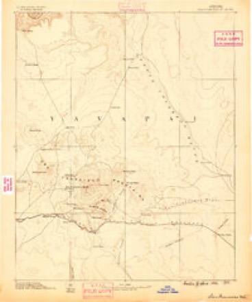
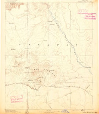
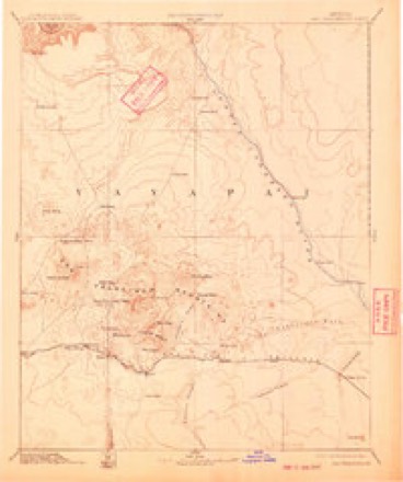
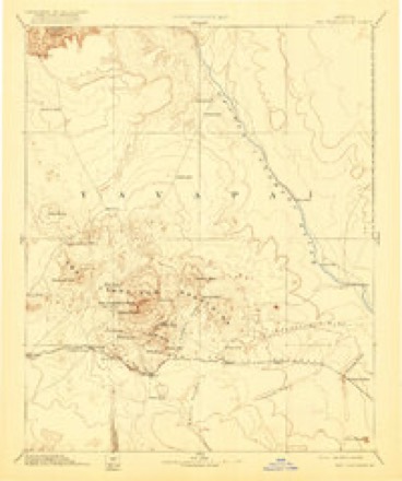
22 topographic sheets cover this place, the earliest surveyed in 1886 and the latest in 1982. It stands in the Flagstaff census division. It lies in ZIP code area 86004. The Survey maps it on the Winona quadrangle.
Topographic sheets covering this place
11 surveys from 22 printed sheetsMatched by testing this settlement's coordinate against the published boundary of every sheet in the United States Geological Survey's historical collection. Each opens the scanned sheet at the Survey.
- 1886 USGS San Francisco Mtns quadrangle1:250000
- 1891 USGS San Francisco Mtns quadrangle1:250000
- 1894 USGS San Francisco Mtns quadrangle1:250000, 5 printings
- 1899 USGS San Francisco Mtns quadrangle1:250000
- 1947 USGS Flagstaff quadrangle1:250000, 2 printings
- 1954 USGS Flagstaff quadrangle1:250000, 3 printings
- 1958 USGS Flagstaff quadrangle1:250000
- 1960 USGS Flagstaff quadrangle1:250000, 2 printings
- 1962 USGS Flagstaff quadrangle1:250000
- 1968 USGS Winona quadrangle1:24000, 3 printings
- 1982 USGS Flagstaff quadrangle1:100000, 2 printings
Fires near this place
383 since 1992Regional context, not property-specific evidence. The federal wildfire occurrence database lists 383 fires within 5 miles of Cosnino between 1992 and 2020, burning about 2,124 acres in total. 181 started naturally. 7 were recorded as arson. Distance is straight-line from the map coordinates, so a fire counted here may appear on a neighbouring settlement's page as well.
| Reported cause | Fires |
|---|---|
| Natural | 181 |
| Recreation and ceremony | 82 |
| Missing data/not specified/undetermined | 77 |
| Debris and open burning | 10 |
| Smoking | 9 |
| Railroad operations and maintenance | 8 |
| Arson/incendiarism | 7 |
| Equipment and vehicle use | 6 |
| Misuse of fire by a minor | 3 |
The most recent of them, most recent first, with the day each was reported and the service that recorded it.
| Date | Cause | Size | Reported by | Name on the report |
|---|---|---|---|---|
| 8 September 1997 | Natural | under an acre | Coconino National Forest | BOTTOMLESS |
| 8 September 1996 | Natural | under an acre | Coconino National Forest | WILD |
| 7 September 2020 | Missing data/not specified/undetermined | 1.2 acres | Arizona Department of Forestry and Fire Management - Northern District | TURKEY |
| 7 September 2020 | Missing data/not specified/undetermined | under an acre | Arizona Department of Forestry and Fire Management - State Office | not named |
| 6 September 2009 | Natural | under an acre | Coconino National Forest | SUN BEAM |
| 5 September 2011 | Recreation and ceremony | 1.0 acres | Coconino National Forest | RANCH |
| 5 September 2002 | Natural | under an acre | Coconino National Forest | RECYCLER |
| 4 September 2019 | Natural | under an acre | Coconino National Forest | PAPA |
Settlements close enough to share some of these fires:
Mines and quarries near this place
10 of 23 shownRegional context, not property-specific evidence. The federal mineral resources record lists 23 workings within 5 miles of Cosnino: 10 past producers, 8 unknowns, 4 producers, 1 occurrence. 4 still produce. What was taken out: Volcanic Materials, Pumice, Limestone, General, Sand and Gravel, Construction. Distance is straight-line from the map coordinates, so a quarry counted here may appear on a neighbouring settlement's page as well.
| Where | Site | Commodity | Status | Recorded |
|---|---|---|---|---|
| Gravel Pit | Sand and Gravel, Construction | Past Producer | Sedimentary | |
| Wildcat Hill Pit | Volcanic Materials, Stone, Crushed/Broken | Producer | Cinders | |
| Winona No. 1 | Limestone, General | Occurrence | Sedimentary | |
| Baker Pit | Volcanic Materials | Past Producer | Cinders | |
| Baker Pit | Pumice | Producer | ||
| Cinder Pit | Volcanic Materials | Past Producer | Cinders | |
| Cinder Pit | Pumice | Unknown | ||
| Cinder Pit | Pumice | Unknown | ||
| Cinder Pit | Pumice | Unknown | ||
| Cinder Pit | Pumice | Unknown |
Storms near this place
14 since 1998Regional context, not property-specific evidence. The National Weather Service names Cosnino in 14 storm reports between 1998 and 2022: 4 hail, 4 flash flood, 3 heavy rain, 2 tornado. The reports record 1 death. Each account below is quoted exactly as the forecast office filed it, from the NOAA Storm Events Database, and each date opens the federal record of that event.
| When | Event | Place named | Harm | What the report says |
|---|---|---|---|---|
| July 2010 | Flash Flood | Cosnino | 1 killed, $2,000,000 | Heavy rain over the Schultz Fire burn area caused extensive flash flooding on both sides of Highway 89 northeast of Flagstaff. A 12 year old girl was swept away in the flood waters and drowned. Two rain gauges within the burn area reported 1.48 and 1.78 inches of rain in 52 minutes and 62 minutes respectively. The flood waters, ash, mud, debris, and rocks 2-3 feet in diameter covered roads, properties, and entered homes. Highway 89 was closed as were the main roads west of Highway 89. The water slowed down once it crossed Highway 89. However, the heavy silt prevented the water from percolating into the cinders east of Highway 89. The flood waters flowed across the road leading to the Flagstaff City Dump and eventually into a few dozen homes south of the dump. In all, as many as 85 homes were damaged by the flooding. |
| September 2011 | Flash Flood | Cosnino | $750,000 | Heavy rain caused flash flooding in many of the neighborhoods below the Schultz Fire burn area. Three primary roads were closed and most roads in the affected area were impassable. Water was running 35 feet wide and two feet deep through one residential property. A County Declaration of Emergency was signed in response to this flooding. Portions of rock filled wire baskets that lined one drainage canal collapsed into the the canal and had to be removed and replace. |
| August 2013 | Flash Flood | Cosnino | $10,000 | Flood water entered a home on Cosnino Road. Flooding was also reported on Wapiti and Casnino Road. About half a foot of water covered Towsend-Winona Road about half a mile west of the Interstate 40 junction. |
| August 2022 | Heavy Rain | Cosnino | - | Heavy rain caused several inches of water to flow across the road at Cosnino Road and Wapiti Trail. Dime sized hail was also reported during the heavy rain. |
| July 2022 | Flash Flood | Cosnino | - | Heavy rain over the Schultz Fire scar (2010), Tunnel Fire scar (April 2022), and Pipeline Fire scar (June 2022) caused flooding in the area below. The water transported mud, ash, and debris across roads and filled ditches. |
| June 2021 | Tornado (EF0) | Cosnino | - | A member of the public reported a brief weak spin-up of a landspout tornado in Doney Park. A gust from from a thunderstorm was moving through the area at the time. |
| August 2016 | Hail | Cosnino | - | One inch diameter hail fell for the second time in the Doney Park area. |
| August 2016 | Hail | Cosnino | - | One inch diameter hail fell in Doney Park. |
| August 2015 | Heavy Rain | Cosnino | - | Between one and 1.25 inches of rain fell across the Doney Park area of far northeast Flagstaff in under 50 minutes. The power was also knocked out by the storm. Wind gusts to 45 MPH and half inch hail was also reported. |
| August 2012 | Heavy Rain | Cosnino | - | Heavy rain over the Schultz Fire area washed out a couple of driveways and a portion of Brandis Way. |
| May 2009 | Tornado (EF0) | Cosnino | - | Possible tornado reported by Coconino Sheriffs Office. |
| August 2007 | Hail | Cosnino | - | A thunderstorm produced nickel sized hail (7/8 inch diameter) hail was reported in Doney Park. |
| September 2002 | Hail | Cosnino | - | Two inch hail fell in Doney Park and Cosnino as a severe thunderstorm moved five miles west of Flagstaff. Penny sized (3/4 inch) hail was reported at milepost 207on I-40 (near Cosnino). |
| July 1998 | Funnel Cloud | Cosnino | - | Two separate spotter reports of a funnel cloud in the Cosnino Road/ Walnut Canyon area were received. |
Nearest settlements
The eight closest, with where each one stands in the county. Distances are straight-line, computed from the Geographic Names Information System coordinates.
| Map | Place | Distance | Sheets |
|---|---|---|---|
| Mountain View Ranches | 2.1 miles | 22 | |
| Winona | 3.5 miles | 22 | |
| Darling | 4.0 miles | 22 | |
| Elden Pueblo | 5.6 miles | 31 | |
| East Flagstaff | 7.3 miles | 31 | |
| Cogdill Center | 9.1 miles | 30 | |
| Angell | 9.1 miles | 22 | |
| Flagstaff | 9.4 miles | 30 |
Provenance
This settlement is recorded in the Geographic Names Information System as feature 27987. The sheet list is computed by point-in-boundary test against the United States Geological Survey's historical topographic inventory. Both are works of the United States government and carry no copyright under 17 U.S.C. 105.
Wildfire. Short, Karen C. 2022. Spatial wildfire occurrence data for the United States, 1992-2020 [FPA_FOD_20221014]. 6th Edition. Fort Collins, CO: Forest Service Research Data Archive. https://doi.org/10.2737/RDS-2013-0009.6 Collected with United States Government funding and usable without additional permissions or fees.
Mines and quarries. USGS Mineral Resources Data System (MRDS) https://mrdata.usgs.gov/mrds/ A work of the United States government, no copyright under 17 U.S.C. 105.
Storms. NOAA National Centers for Environmental Information, Storm Events Database https://www.ncei.noaa.gov/stormevents/ A work of the United States government, no copyright under 17 U.S.C. 105. Narratives are quoted verbatim from the National Weather Service report and are not edited or summarised.