 Block
Velda Rose Estates, Arizona
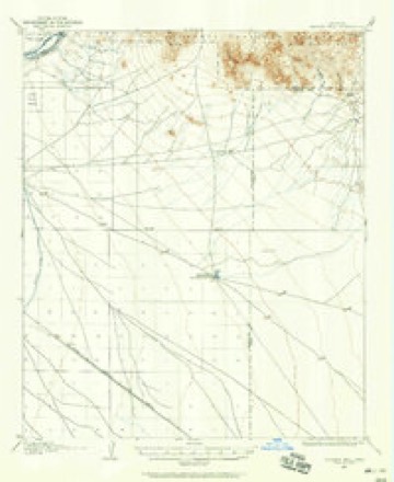
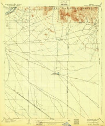
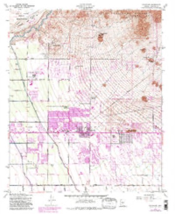
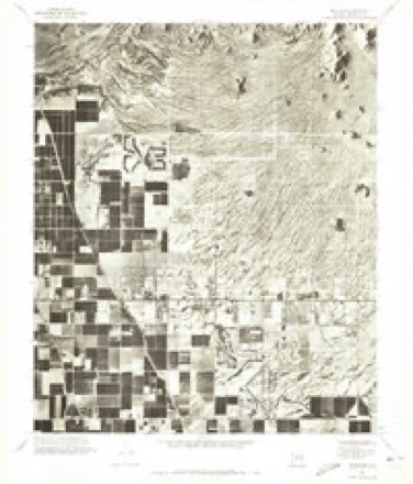
21 topographic sheets cover this place, the earliest surveyed in 1904 and the latest in 2004. It stands in the Phoenix census division. It lies in ZIP code area 85205. The Survey maps it on the Buckhorn quadrangle. It stands 1,411 feet above sea level.
On record in Velda Rose Estates
Buildings and businesses the archive holds for this place. Each opens its own page, with the source record it came from.
On the National Register within a mile 1 record
The National Register names another town for these. They stand within one mile of this settlement's coordinate.
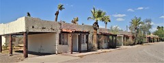 Buckhorn Baths Motellisted 2005 · 0.7 miles away
Topographic sheets covering this place
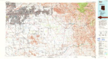
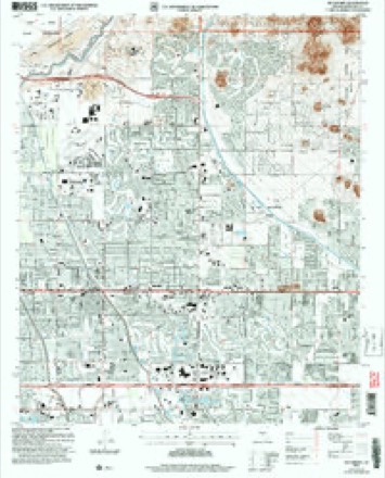
11 surveys from 21 printed sheetsMatched by testing this settlement's coordinate against the published boundary of every sheet in the United States Geological Survey's historical collection. Each opens the scanned sheet at the Survey.
- 1904 USGS Desert Well quadrangle1:62500
- 1906 USGS Desert Well quadrangle1:62500, 3 printings
- 1954 USGS Mesa quadrangle1:250000, 4 printings
- 1956 USGS Buckhorn quadrangle1:24000, 5 printings
- 1957 USGS Mesa quadrangle1:250000
- 1958 USGS Mesa quadrangle1:250000
- 1960 USGS Mesa quadrangle1:250000
- 1964 USGS Mesa quadrangle1:250000
- 1971 USGS Buckhorn quadrangle1:24000
- 1994 USGS Mesa quadrangle1:100000, 2 printings
- 2004 USGS Buckhorn quadrangle1:24000





Fires near this place
340 since 1993Regional context, not property-specific evidence. The federal wildfire occurrence database lists 340 fires within 5 miles of Velda Rose Estates between 1993 and 2020, burning about 1,286 acres in total. 5 started naturally. 5 were recorded as arson. Distance is straight-line from the map coordinates, so a fire counted here may appear on a neighbouring settlement's page as well.
| Reported cause | Fires |
|---|---|
| Missing data/not specified/undetermined | 329 |
| Arson/incendiarism | 5 |
| Natural | 5 |
| Power generation/transmission/distribution | 1 |
The most recent of them, most recent first, with the day each was reported and the service that recorded it.
| Date | Cause | Size | Reported by | Name on the report |
|---|---|---|---|---|
| 6 September 2018 | Missing data/not specified/undetermined | under an acre | Mesa Fire and Medical Department | 70804 |
| 5 September 2017 | Missing data/not specified/undetermined | under an acre | Mesa Fire and Medical Department | not named |
| 4 September 2018 | Missing data/not specified/undetermined | 1.0 acres | Mesa Fire and Medical Department | 70271 |
| 4 September 2018 | Missing data/not specified/undetermined | under an acre | Mesa Fire and Medical Department | 70432 |
| 29 September 2019 | Missing data/not specified/undetermined | under an acre | Arizona Department of Forestry and Fire Management - State Office | NOT NAMED |
| 28 September 2017 | Missing data/not specified/undetermined | under an acre | Mesa Fire and Medical Department | not named |
| 25 September 2018 | Missing data/not specified/undetermined | under an acre | Mesa Fire and Medical Department | 76300 |
| 23 September 2017 | Missing data/not specified/undetermined | under an acre | Mesa Fire and Medical Department | not named |
Settlements close enough to share some of these fires:
Storms near this place
14 since 2010Regional context, not property-specific evidence. The National Weather Service names Velda Rose Estates in 14 storm reports between 2010 and 2025: 10 thunderstorm wind, 3 hail, 1 heavy rain. No death or injury is recorded in these reports. Each account below is quoted exactly as the forecast office filed it, from the NOAA Storm Events Database, and each date opens the federal record of that event.
| When | Event | Place named | Harm | What the report says |
|---|---|---|---|---|
| September 2023 | Thunderstorm Wind | Velda Rose Estates | $7,200,000 | Numerous reports of considerable damage at Falcon Field Airport from a severe microburst. Around 25 airplanes, mostly Cessna small aircraft, were damaged or destroyed, with some flipped over. One aviation flight school lost one third of their fleet, but it is unknown how many aircraft that amounts to. A few pilots reported that even planes with proper tie-downs broke free, with wind eyelets snapping and chains breaking as the planes likely tried to become airborne. Numerous hangars suffered significant damage, with around 90 hangar doors damaged or destroyed. Two World War II era hangars were damaged, with one losing its roof. Another hangar had an entire side wall shorn off. There were several downed trees around the airport, as well as damages to some other airport infrastructure and property, like fencing. A news report nearly three months later stated repairs are still being done and the total damages at the airport is around $7.2 million. An ASOS at Falcon Field Airport did not measure peak wind gusts from this storm due to a loss of power at the airport. Thus, based on damages, winds were estimated around 90 mph. No injuries were reported. |
| March 2014 | Thunderstorm Wind | Velda Rose Estates | $20,000 | A slow moving, vigorous Pacific low pressure system moving into Arizona led to the development of isolated strong thunderstorms across the greater Phoenix area during the afternoon hours on March 1st. According to a trained weather spotter in East Mesa, a strong thunderstorm blew down a number of trees on McKellips road between Greenfield and Higley roads. Thunderstorm outflow winds were estimated to be nearly 50 knots. The downed trees were approximately one quarter mile southwest of Falcon Field. Another spotter in the 6000 block of East Viewmont Drive and North Recker Road reported large Palo Verde and Mesquite trees blown over. |
| June 2015 | Thunderstorm Wind | Velda Rose Estates | $5,000 | Isolated strong thunderstorms affected the community of Mesa during the late evening hours on June 29th. The storms produced strong, gusty and damaging microburst type winds that impacted Falcon Field Airport in east Mesa. The official AWOS weather station at the airport measured at wind gust of 58 mph at 2215MST. The strong winds caused several trees and large tree branches to be blown down around the airport. |
| July 2011 | Thunderstorm Wind | Velda Rose Estates | $5,000 | Isolated thunderstorms developed over the eastern portions of the greater Phoenix area during the evening hours on July 3rd. The storms produced damaging downburst winds estimated to be at least 50 knots. A trained weather spotter reported numerous large tree branches were downed near Val Vista Drive and University Drive in Mesa. |
| September 2023 | Thunderstorm Wind | Velda Rose Estates | $1,000 | Large tree uprooted in the area of Lindsay Road and East McKellips Road in Mesa. Wind gusts were estimated at 65-70 mph. No injuries were reported. |
| September 2025 | Hail | Velda Rose Estates | - | Reports of 0.75 inch diameter hail between East Minton Street and Mallory Street in Mesa. No injuries or damage were reported. |
| September 2024 | Thunderstorm Wind | Velda Rose Estates | - | A 58 mph wind gust was measured at Falcon Field Airport. |
| September 2023 | Thunderstorm Wind | Velda Rose Estates | - | Home weather station located at 2915 East Minton Road in Mesa recorded a peak wind gust of 81 mph. |
| September 2022 | Thunderstorm Wind | Velda Rose Estates | - | The Mesa Falcon Field Airport measured a wind gust of 58 mph. |
| July 2022 | Thunderstorm Wind | Velda Rose Estates | - | The Mesa Falcon Field Airport AWOS Station measured a 64 mph wind gust. |
| October 2021 | Hail | Velda Rose Estates | - | Social media photos show hail stones up to nickel-sized. Time estimated from radar. |
| August 2019 | Thunderstorm Wind | Velda Rose Estates | - | Isolated monsoon thunderstorms developed across the eastern portions of the greater Phoenix area during the evening hours on August 28th. One of the stronger storms affected the community of East Mesa. At 2032MST the official ASOS weather sensor at Falcon Field in East Mesa measured a wind gust of 64 mph. No damage was reported in the area due to the strong gusty winds. |
| December 2019 | Hail | Velda Rose Estates | - | A couple trained spotters reported quarter-sized hail fell from a strong thunderstorm near McDowell Rd and Lindsey Rd in northeast Mesa. Accumulating hail was also reported in the area. A severe thunderstorm warning was in effect at the time. No injuries or damage was reported. |
| August 2010 | Heavy Rain | Velda Rose Estates | - | A trained spotter in Mesa reported very heavy rainfall, with a rainfall rate nearly four inches per hour. The heavy rain produced street flooding, with water flowing over the curb. |
Nearest settlements
The eight closest, with where each one stands in the county. Distances are straight-line, computed from the Geographic Names Information System coordinates.
| Map | Place | Distance | Sheets |
|---|---|---|---|
| Buckhorn | 0.7 miles | 21 | |
| Fountain East | 0.8 miles | 21 | |
| Park Place Travel Resort | 1.0 miles | 21 | |
| Dreamland Villa | 1.1 miles | 21 | |
| Leisure World | 1.3 miles | 21 | |
| Velda Rose Gardens | 1.3 miles | 21 | |
| Granite Reef Estates | 1.4 miles | 21 | |
| Desert Vista Recreational Vehicle Resort | 1.4 miles | 21 |
Elsewhere
Matched on this settlement's Geographic Names Information System number rather than its name, so it cannot be a different place of the same name in another state.
| Wikidata item Q38249317 | The structured record the population and elevation above come from. Public domain (CC0). |
Provenance
This settlement is recorded in the Geographic Names Information System as feature 37114. The sheet list is computed by point-in-boundary test against the United States Geological Survey's historical topographic inventory. Both are works of the United States government and carry no copyright under 17 U.S.C. 105.
Wildfire. Short, Karen C. 2022. Spatial wildfire occurrence data for the United States, 1992-2020 [FPA_FOD_20221014]. 6th Edition. Fort Collins, CO: Forest Service Research Data Archive. https://doi.org/10.2737/RDS-2013-0009.6 Collected with United States Government funding and usable without additional permissions or fees.
Storms. NOAA National Centers for Environmental Information, Storm Events Database https://www.ncei.noaa.gov/stormevents/ A work of the United States government, no copyright under 17 U.S.C. 105. Narratives are quoted verbatim from the National Weather Service report and are not edited or summarised.