 Block
Falfa, Arizona
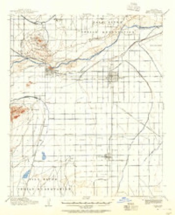
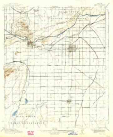
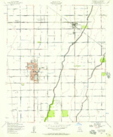
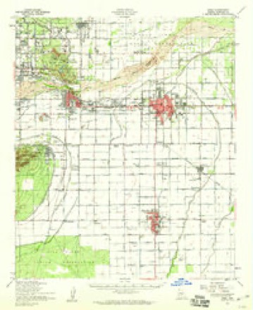
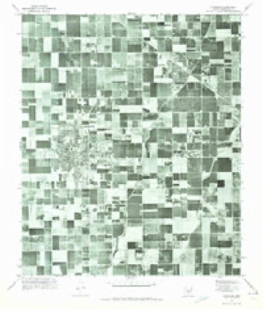
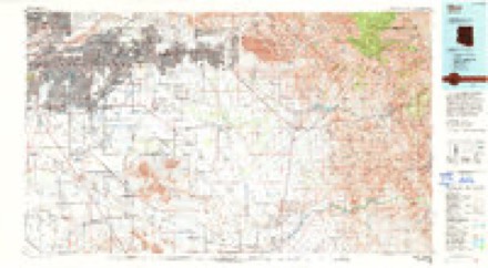
20 topographic sheets cover this place, the earliest surveyed in 1913 and the latest in 1994. It stands in the Phoenix census division. It lies in ZIP code area 85233. The Survey maps it on the Chandler quadrangle.
Topographic sheets covering this place
11 surveys from 20 printed sheetsMatched by testing this settlement's coordinate against the published boundary of every sheet in the United States Geological Survey's historical collection. Each opens the scanned sheet at the Survey.
- 1913 USGS Mesa quadrangle1:62500
- 1915 USGS Mesa quadrangle1:62500, 2 printings
- 1952 USGS Chandler quadrangle1:24000, 5 printings
- 1952 USGS Mesa quadrangle1:62500
- 1954 USGS Mesa quadrangle1:250000, 4 printings
- 1957 USGS Mesa quadrangle1:250000
- 1958 USGS Mesa quadrangle1:250000
- 1960 USGS Mesa quadrangle1:250000
- 1964 USGS Mesa quadrangle1:250000
- 1971 USGS Chandler quadrangle1:24000
- 1994 USGS Mesa quadrangle1:100000, 2 printings





Fires near this place
930 since 1992Regional context, not property-specific evidence. The federal wildfire occurrence database lists 930 fires within 5 miles of Falfa between 1992 and 2020, burning about 158 acres in total. 9 started naturally. 9 were recorded as arson. Distance is straight-line from the map coordinates, so a fire counted here may appear on a neighbouring settlement's page as well.
| Reported cause | Fires |
|---|---|
| Missing data/not specified/undetermined | 903 |
| Arson/incendiarism | 9 |
| Natural | 9 |
| Equipment and vehicle use | 6 |
| Smoking | 1 |
| Misuse of fire by a minor | 1 |
| Debris and open burning | 1 |
The most recent of them, most recent first, with the day each was reported and the service that recorded it.
| Date | Cause | Size | Reported by | Name on the report |
|---|---|---|---|---|
| 9 September 2019 | Missing data/not specified/undetermined | under an acre | Chandler Fire Department | NOT NAMED |
| 9 September 2019 | Missing data/not specified/undetermined | under an acre | Mesa Fire and Medical Department | NOT NAMED |
| 9 September 2019 | Missing data/not specified/undetermined | under an acre | Mesa Fire and Medical Department | NOT NAMED |
| 9 September 2015 | Missing data/not specified/undetermined | under an acre | Arizona Department of Forestry and Fire Management - State Office | 153942 |
| 8 September 2020 | Missing data/not specified/undetermined | under an acre | Arizona Department of Forestry and Fire Management - State Office | not named |
| 8 September 2018 | Missing data/not specified/undetermined | under an acre | Mesa Fire and Medical Department | 71440 |
| 7 September 2018 | Missing data/not specified/undetermined | under an acre | Chandler Fire Department | 332401 |
| 7 September 2018 | Missing data/not specified/undetermined | under an acre | Chandler Fire Department | 333144 |
Settlements close enough to share some of these fires:
Mines and quarries near this place
1 within 5 milesRegional context, not property-specific evidence. The federal mineral resources record lists 1 working within 5 miles of Falfa: 1 producer. All of them still produce. What was taken out: Sand and Gravel, Construction. Distance is straight-line from the map coordinates, so a quarry counted here may appear on a neighbouring settlement's page as well.
| Where | Site | Commodity | Status | Recorded |
|---|---|---|---|---|
| Chandler Ready Mix Plant | Sand and Gravel, Construction | Producer |
Storms near this place
10 since 2010Regional context, not property-specific evidence. The National Weather Service names Falfa in 10 storm reports between 2010 and 2021: 8 thunderstorm wind, 2 heavy rain. No death or injury is recorded in these reports. Each account below is quoted exactly as the forecast office filed it, from the NOAA Storm Events Database, and each date opens the federal record of that event.
| When | Event | Place named | Harm | What the report says |
|---|---|---|---|---|
| August 2018 | Thunderstorm Wind | Falfa | $10,000 | Thunderstorms with gusty and damaging outflow winds moved through the southeast portion of the greater Phoenix metropolitan area during the early evening hours on August 12th. One of the stronger storms affected communities such as Tempe and Chandler. According to a trained spotter located 4 miles north of Chandler, at 1824MST gusty winds estimated to be as high as 70 mph knocked over a tree just east of the intersection of Dobson Road and Elliot Road. The trunk of the tree was estimated to be about 12 inches wide. At exactly the same time, another trained spotter located just west of the same intersection reported multiple trees down. No injuries were reported due to the downed trees. |
| August 2015 | Thunderstorm Wind | Falfa | $10,000 | Scattered thunderstorms moved across the southeastern portion of the greater Phoenix metropolitan area during the evening hours on August 31st; some of the stronger storms generated gusty and damaging outflow winds estimated to be as high as 70 mph. According to a trained weather spotter located just south of Dobson Ranch, or 3 miles south of the Fiesta Mall, strong winds uprooted a tree with a diameter of 8 inches. The winds also snapped a tree nearly 1 foot across and as the tree fell it brought down a nearby power pole. Metal siding was damaged on a temporary building in the area. The damage occurred near the intersection of Alma School Road and West Elliot Road. |
| July 2011 | Thunderstorm Wind | Falfa | $10,000 | A massive haboob moved across the greater Phoenix area during the evening hours on July 5, and winds were reported to be in excess of 50 knots. A trained weather spotter reported that the strong winds associated with the dust storm caused a carport to collapse near the intersection of McClintock and Ray roads. |
| October 2010 | Thunderstorm Wind | Falfa | $5,000 | Fence blown over. |
| August 2018 | Thunderstorm Wind | Falfa | $3,000 | Thunderstorms with gusty and damaging outflow winds moved across the eastern portions of the greater Phoenix metropolitan area during the late afternoon and early evening hours on August 12th. Some of the stronger storms affected communities such as Gilbert and Chandler. At 1813MST, local broadcast media reported that gusty outflow winds estimated to be at least 65 mph blew down a large eucalyptus tree near the intersection of Alma School Road and Elliot Road. The downed tree was about 3 miles west of the town of Gilbert. No injuries were reported due to the falling tree. |
| August 2021 | Thunderstorm Wind | Falfa | $1,000 | Photos on social media showed several large trees down along with damage to a playground in an area near Arizona Avenue between Elliot Road and Warner Road. A large tree estimated to be approximately 2-3 feet in diameter was uprooted at an apartment complex at Warner Road and Evergreen Street. No injuries were reported. |
| July 2017 | Heavy Rain | Falfa | - | Scattered thunderstorms developed across much of the greater Phoenix area during the evening hours on July 16th; the stronger storms produced locally heavy rain with peak rain rates between one and two inches per hour. The heavy rain led to episodes of urban as well as flash flooding, primarily over central and western portions of the greater Phoenix area such as downtown Phoenix. Still, heavy rain fell over portions of the southeast valley as well including the community of Gilbert; this produced urban flooding but no flash flash flooding. According to a trained spotter 3 miles west of Gilbert, heavy rains resulted in curb to curb flooding near the intersection of Arizona Avenue and Elliot Road. |
| July 2015 | Thunderstorm Wind | Falfa | - | Strong thunderstorms developed across the greater Phoenix metropolitan area during the evening hours on July 14th, and some of them affected the community of Chandler. At 1827MST a National Weather Service employee located 3 miles north of Chandler estimated a thunderstorm wind gust to 60 mph. The storm also produced hail with a diameter of one quarter inch. No damage was reported due to the strong wind gust. |
| July 2014 | Heavy Rain | Falfa | - | Scattered thunderstorms moved across the southeastern portion of the greater Phoenix area during the late afternoon hours on July 13th, affecting communities such as Tempe, Chandler and Gilbert. The storms produced heavy rain with rainfall rates occasionally in excess of 2 inches per hour. Urban flooding was reported by several trained spotters in the area, and a Flash Flood Warning was issued for the area. At 1648MST, a trained spotter in Gilbert estimated that 2 inches of rain had fallen in a short time near the intersection of Val Vista and Warner roads. At 1705MST, a trained spotter 4 miles southeast of Tempe measured nearly one inch of rain within 8 minutes at the intersection of Warner and McClintock Roads, and he indicated that water was covering the road. At approximately the same time another trained spotter 2 miles northwest of the Chandler Fashion Square mall reported street flooding at the intersection of Ray and McClintock Roads. He estimated that one inch of rain had fallen in the area. |
| October 2010 | Thunderstorm Wind | Falfa | - | A trained spotter in Chandler, near Warner Road and McQueen, reported a thunderstorm wind gust estimated to be 61 knots. No damage was reported by the spotter. |
Nearest settlements
The eight closest, with where each one stands in the county. Distances are straight-line, computed from the Geographic Names Information System coordinates.
| Map | Place | Distance | Sheets |
|---|---|---|---|
| Amberwood II | 0.7 miles | 20 | |
| Tremaine | 0.9 miles | 20 | |
| Esplanada | 0.9 miles | 20 | |
| San Carlos | 1.0 miles | 20 | |
| Stonegate Crossing | 1.0 miles | 20 | |
| Mission Valley | 1.1 miles | 20 | |
| Cedar Ridge | 1.1 miles | 20 | |
| Womack East | 1.2 miles | 20 |
Provenance
This settlement is recorded in the Geographic Names Information System as feature 24413. The sheet list is computed by point-in-boundary test against the United States Geological Survey's historical topographic inventory. Both are works of the United States government and carry no copyright under 17 U.S.C. 105.
Wildfire. Short, Karen C. 2022. Spatial wildfire occurrence data for the United States, 1992-2020 [FPA_FOD_20221014]. 6th Edition. Fort Collins, CO: Forest Service Research Data Archive. https://doi.org/10.2737/RDS-2013-0009.6 Collected with United States Government funding and usable without additional permissions or fees.
Mines and quarries. USGS Mineral Resources Data System (MRDS) https://mrdata.usgs.gov/mrds/ A work of the United States government, no copyright under 17 U.S.C. 105.
Storms. NOAA National Centers for Environmental Information, Storm Events Database https://www.ncei.noaa.gov/stormevents/ A work of the United States government, no copyright under 17 U.S.C. 105. Narratives are quoted verbatim from the National Weather Service report and are not edited or summarised.