 Block
Tremaine, Arizona
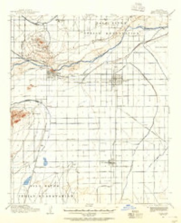
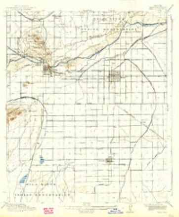
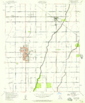
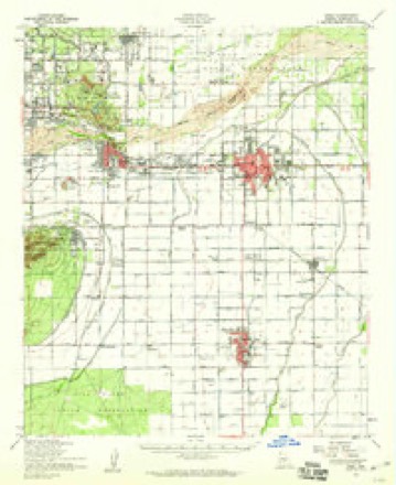
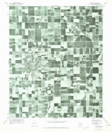
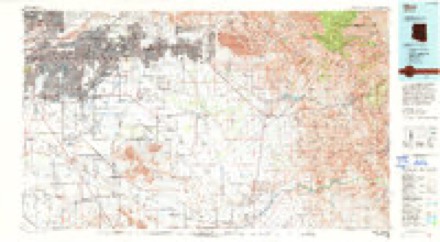
20 topographic sheets cover this place, the earliest surveyed in 1913 and the latest in 1994. It stands in the Phoenix census division. It lies in ZIP code area 85233. The Survey maps it on the Chandler quadrangle.
Topographic sheets covering this place
11 surveys from 20 printed sheetsMatched by testing this settlement's coordinate against the published boundary of every sheet in the United States Geological Survey's historical collection. Each opens the scanned sheet at the Survey.
- 1913 USGS Mesa quadrangle1:62500
- 1915 USGS Mesa quadrangle1:62500, 2 printings
- 1952 USGS Chandler quadrangle1:24000, 5 printings
- 1952 USGS Mesa quadrangle1:62500
- 1954 USGS Mesa quadrangle1:250000, 4 printings
- 1957 USGS Mesa quadrangle1:250000
- 1958 USGS Mesa quadrangle1:250000
- 1960 USGS Mesa quadrangle1:250000
- 1964 USGS Mesa quadrangle1:250000
- 1971 USGS Chandler quadrangle1:24000
- 1994 USGS Mesa quadrangle1:100000, 2 printings





Fires near this place
1,065 since 1992Regional context, not property-specific evidence. The federal wildfire occurrence database lists 1,065 fires within 5 miles of Tremaine between 1992 and 2020, burning about 1,317 acres in total. 10 started naturally. 9 were recorded as arson. Distance is straight-line from the map coordinates, so a fire counted here may appear on a neighbouring settlement's page as well.
| Reported cause | Fires |
|---|---|
| Missing data/not specified/undetermined | 1037 |
| Natural | 10 |
| Arson/incendiarism | 9 |
| Equipment and vehicle use | 6 |
| Smoking | 1 |
| Misuse of fire by a minor | 1 |
| Debris and open burning | 1 |
The most recent of them, most recent first, with the day each was reported and the service that recorded it.
| Date | Cause | Size | Reported by | Name on the report |
|---|---|---|---|---|
| 9 September 2019 | Missing data/not specified/undetermined | under an acre | Mesa Fire and Medical Department | NOT NAMED |
| 9 September 2019 | Missing data/not specified/undetermined | under an acre | Mesa Fire and Medical Department | NOT NAMED |
| 9 September 2015 | Missing data/not specified/undetermined | under an acre | Arizona Department of Forestry and Fire Management - State Office | 153942 |
| 8 September 2020 | Missing data/not specified/undetermined | under an acre | Arizona Department of Forestry and Fire Management - State Office | not named |
| 8 September 2018 | Missing data/not specified/undetermined | under an acre | Mesa Fire and Medical Department | 71440 |
| 7 September 2018 | Missing data/not specified/undetermined | under an acre | Chandler Fire Department | 332401 |
| 7 September 2018 | Missing data/not specified/undetermined | under an acre | Chandler Fire Department | 333144 |
| 7 September 2018 | Missing data/not specified/undetermined | under an acre | Tempe Fire Department | 1820604 |
Settlements close enough to share some of these fires:
Mines and quarries near this place
2 within 5 milesRegional context, not property-specific evidence. The federal mineral resources record lists 2 workings within 5 miles of Tremaine: 2 producers. All of them still produce. What was taken out: Sand and Gravel, Construction. Distance is straight-line from the map coordinates, so a quarry counted here may appear on a neighbouring settlement's page as well.
| Where | Site | Commodity | Status | Recorded |
|---|---|---|---|---|
| Arizona S&R Plant #3 | Sand and Gravel, Construction | Producer | ||
| Chandler Ready Mix Plant | Sand and Gravel, Construction | Producer |
Storms near this place
10 since 2010Regional context, not property-specific evidence. The National Weather Service names Tremaine in 10 storm reports between 2010 and 2022: 9 thunderstorm wind, 1 heavy rain. The reports record 1 injury. Each account below is quoted exactly as the forecast office filed it, from the NOAA Storm Events Database, and each date opens the federal record of that event.
| When | Event | Place named | Harm | What the report says |
|---|---|---|---|---|
| October 2010 | Thunderstorm Wind | Tremaine | 1 hurt, $500,000 | A series of powerful storms caused major damage to SRP facilities and power poles. Thirteen power poles for a 69/12-kilovolt distribution line along the Western Canal near Dobson road in Mesa were knocked down. Twelve of the poles landed on homes causing considerable damage. As many as 20,000 customers were temporarily without power. All told, there were at least 40 utility poles downed in southwest Mesa, which damaged 20 to 30 homes. |
| October 2010 | Thunderstorm Wind | Tremaine | $100,000 | High winds with nickel sized hail caused damage to cars, trees downed and power poles damaged. |
| August 2018 | Thunderstorm Wind | Tremaine | $20,000 | Thunderstorms with strong and damaging outflow winds moved through the eastern portion of the greater Phoenix area during the early evening hours on August 12th. One of the stronger storms affected the community of Tempe. According to a report from the public, at 1820MST gusty outflow winds estimated at 70 mph downed a large pine tree about 3 miles southeast of Tempe. The tree was knocked into an apartment building in Dobson Ranch which is located to the southeast of the intersection of the Superstition Freeway and the Loop 101 freeway. There were no reports of injuries due to the fallen pine tree. |
| January 2021 | Thunderstorm Wind | Tremaine | $10,000 | A cold front associated with a strong winter storm moved through the southeast portion of the greater Phoenix area during the early afternoon on January 25th. A line of strong to severe thunderstorms associated with the front produced strong wind gusts estimated to be in excess of 60 mph at times. According to a trained weather spotter located 5 miles southwest of Mesa, the strong winds blew a rooftop air conditioner off of the roof at about 1345MST. Additionally, roof shingles were stripped off of rooftops in the area as the winds blew through the area. The damage occurred southeast of the intersection of Baseline and Cooper roads. There were no reports of injury due to the damaging winds. |
| August 2017 | Thunderstorm Wind | Tremaine | $10,000 | Thunderstorms developed across the southeast portion of the greater Phoenix metropolitan area during the afternoon hours on August 3rd, and some of them impacted communities such as Tempe and Guadalupe. Some of the stronger storms developed gusty and damaging outflow winds, estimated to be as high as 60 mph. According to a report from local broadcast media, a strong wind gust downed a light pole in a parking lot, near the intersection of Baseline Road the the Loop 101 freeway in central Tempe. At the same time, in far south Tempe, a trained weather spotter reported a large Palo Verde tree downed near the intersection of Ray Road and Kyrene Road. A Severe Thunderstorm Warning was in effect at the time of the damage; it was issued at 1706MST. At 1735MST, a public report via Twitter indicated that a large tree was downed near the intersection of Baseline Road and McClintock Road. Additionally, at 1735MST another public report was received, via Twitter, indicating a downed awning due to strong outflow winds. This was just southeast of the intersection of Guadalupe Road the the 101 freeway. A second Severe Thunderstorm Warning was in effect at the time of the last 2 damage reports; it was issued at 1727MST. |
| July 2022 | Thunderstorm Wind | Tremaine | $3,000 | Social media images showed a large tree uprooted at the driveway of a house, located near the intersection of West Guadalupe and North Cooper Roads. The tree landed on top of a car parked on the driveway. Timing estimated from radar. No injuries were reported. |
| July 2015 | Thunderstorm Wind | Tremaine | $1,000 | Thunderstorms developed across the eastern portion of the greater Phoenix metropolitan area during the early evening hours on July 14th, and some of the stronger storms produced gusty and damaging outflow winds which affected the area around Fiesta Mall in Mesa. According to an amateur radio report, at 1840MST a thunderstorm wind gust measured at 49 mph blew down a tree with a diameter of approximately 14 inches. The location of the downed tree was about 3 miles east of Fiesta Mall. |
| July 2022 | Thunderstorm Wind | Tremaine | - | A social media video showed a large uprooted tree in the Sahara Palms Apartments complex in Gilbert. No injuries were reported. |
| August 2018 | Thunderstorm Wind | Tremaine | - | Thunderstorms with strong gusty outflow winds affected the eastern portion of the greater Phoenix metropolitan area during the early evening hours on August 12th. One of the stronger storms moved over the communities of Tempe and Mesa. At 1825MST a trained weather spotter located 4 miles southeast of Tempe measured a wind gust of 63 mph. The gust was observed just southeast of the intersection of Dobson Road and Guadaupe Road. |
| August 2010 | Heavy Rain | Tremaine | - | Spotters in Mesa and other East Valley locations reported torrential downpours and small hail. One spotter indicated 0.50 inches of rain in 30 minutes. |
Nearest settlements
The eight closest, with where each one stands in the county. Distances are straight-line, computed from the Geographic Names Information System coordinates.
| Map | Place | Distance | Sheets |
|---|---|---|---|
| Falfa | 0.9 miles | 20 | |
| Esplanada | 0.9 miles | 20 | |
| New Horizons | 0.9 miles | 20 | |
| Vista Alegre | 1.1 miles | 20 | |
| Mission Valley | 1.1 miles | 20 | |
| Amberwood II | 1.1 miles | 20 | |
| Marlborough Mesa | 1.1 miles | 20 | |
| San Carlos | 1.3 miles | 20 |
Elsewhere
Matched on this settlement's Geographic Names Information System number rather than its name, so it cannot be a different place of the same name in another state.
| Wikidata item Q122541657 | The structured record the population and elevation above come from. Public domain (CC0). |
Provenance
This settlement is recorded in the Geographic Names Information System as feature 24661. The sheet list is computed by point-in-boundary test against the United States Geological Survey's historical topographic inventory. Both are works of the United States government and carry no copyright under 17 U.S.C. 105.
Wildfire. Short, Karen C. 2022. Spatial wildfire occurrence data for the United States, 1992-2020 [FPA_FOD_20221014]. 6th Edition. Fort Collins, CO: Forest Service Research Data Archive. https://doi.org/10.2737/RDS-2013-0009.6 Collected with United States Government funding and usable without additional permissions or fees.
Mines and quarries. USGS Mineral Resources Data System (MRDS) https://mrdata.usgs.gov/mrds/ A work of the United States government, no copyright under 17 U.S.C. 105.
Storms. NOAA National Centers for Environmental Information, Storm Events Database https://www.ncei.noaa.gov/stormevents/ A work of the United States government, no copyright under 17 U.S.C. 105. Narratives are quoted verbatim from the National Weather Service report and are not edited or summarised.