 Block
Jacob Lake, Arizona
26 topographic sheets cover this place, the earliest surveyed in 1886 and the latest in 1988. It stands in the Kaibab Plateau census division. It lies near Cooper Ridge. The Survey maps it on the Jacob Lake quadrangle. It stands 7,930 feet above sea level.
On record in Jacob Lake
Buildings and businesses the archive holds for this place. Each opens its own page, with the source record it came from.
On the National Register 2 records
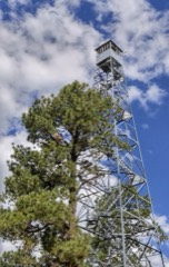 Jacob Lake Lookout Towerlisted 1988
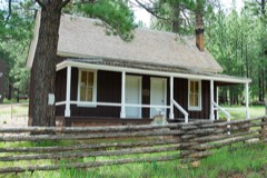 Jacob Lake Ranger Stationlisted 1987
Topographic sheets covering this place
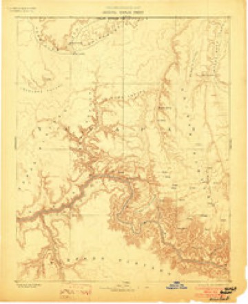
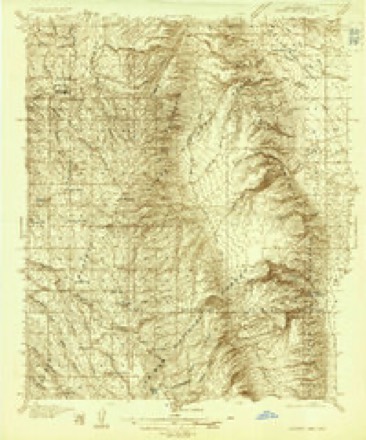
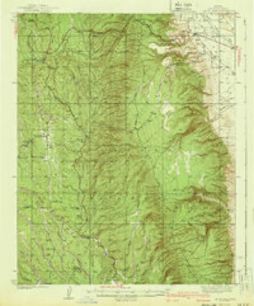
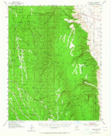
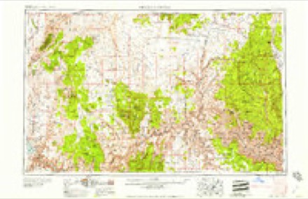
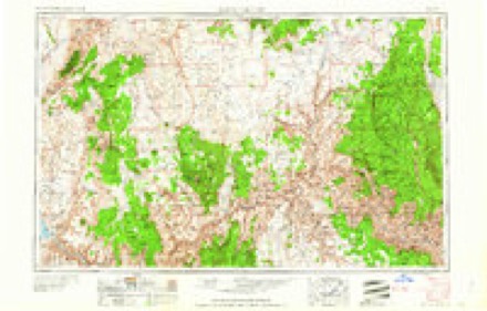
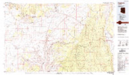
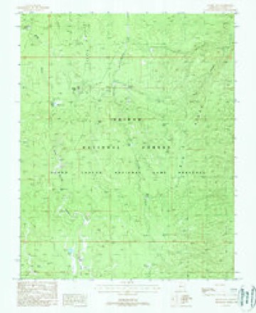
10 surveys from 26 printed sheetsMatched by testing this settlement's coordinate against the published boundary of every sheet in the United States Geological Survey's historical collection. Each opens the scanned sheet at the Survey.
- 1886 USGS Kaibab quadrangle1:250000, 9 printings
- 1936 USGS Jacobs Lake quadrangle1:48000
- 1940 USGS Jacob Lake quadrangle1:62500, 2 printings
- 1953 USGS Grand Canyon quadrangle1:250000, 3 printings
- 1953 USGS Jacobs Lake quadrangle1:62500, 4 printings
- 1957 USGS Grand Canyon quadrangle1:250000
- 1958 USGS Grand Canyon quadrangle1:250000
- 1960 USGS Grand Canyon quadrangle1:250000
- 1984 USGS Fredonia quadrangle1:100000, 2 printings
- 1988 USGS Jacob Lake quadrangle1:24000, 2 printings
Fires near this place
233 since 1992Regional context, not property-specific evidence. The federal wildfire occurrence database lists 233 fires within 5 miles of Jacob Lake between 1992 and 2020, burning about 63,460 acres in total. 169 started naturally. None was recorded as arson. Distance is straight-line from the map coordinates, so a fire counted here may appear on a neighbouring settlement's page as well.
| Reported cause | Fires |
|---|---|
| Natural | 169 |
| Recreation and ceremony | 41 |
| Missing data/not specified/undetermined | 9 |
| Equipment and vehicle use | 6 |
| Debris and open burning | 5 |
| Smoking | 3 |
The most recent of them, most recent first, with the day each was reported and the service that recorded it.
| Date | Cause | Size | Reported by | Name on the report |
|---|---|---|---|---|
| 9 September 1996 | Natural | under an acre | Kaibab National Forest | CAN |
| 8 September 2006 | Recreation and ceremony | under an acre | Kaibab National Forest | HILLSIDE |
| 7 September 2014 | Natural | under an acre | Kaibab National Forest | HIDDEN |
| 7 September 2013 | Natural | under an acre | Kaibab National Forest | MO |
| 7 September 1998 | Recreation and ceremony | under an acre | Kaibab National Forest | CAMPGROUND |
| 5 September 2016 | Natural | 429 acres | Kaibab National Forest | LABOR |
| 5 September 2005 | Natural | under an acre | Kaibab National Forest | BUFFALO |
| 5 September 1992 | Natural | 3.5 acres | Kaibab National Forest | WILD |
Mines and quarries near this place
6 within 5 milesRegional context, not property-specific evidence. The federal mineral resources record lists 6 workings within 5 miles of Jacob Lake: 6 past producers. None of them still produces. What was taken out: Copper, Gold, Silver, Manganese, Silver, Iron, Iron, Manganese. Distance is straight-line from the map coordinates, so a quarry counted here may appear on a neighbouring settlement's page as well.
| Where | Site | Commodity | Status | Recorded |
|---|---|---|---|---|
| Mackin Group | Copper, Iron, Manganese | Past Producer | ||
| Petroskey Group | Copper, Manganese, Silver, Iron | Past Producer | ||
| Kaibab Group | Copper, Gold, Silver | Past Producer | 1942, 1950 | |
| Mackin Group | Copper, Gold, Silver | Past Producer | 1942 | |
| Petoskey Group | Copper, Gold, Silver | Past Producer | 1903, 1963 | |
| Kaibab | Copper | Past Producer |
Storms near this place
10 since 1998Regional context, not property-specific evidence. The National Weather Service names Jacob Lake in 10 storm reports between 1998 and 2025: 2 heavy rain, 2 wildfire, 2 flash flood, 1 tornado. The reports record 2 deaths and 1 injury. Each account below is quoted exactly as the forecast office filed it, from the NOAA Storm Events Database, and each date opens the federal record of that event.
| When | Event | Place named | Harm | What the report says |
|---|---|---|---|---|
| July 2013 | Lightning | Jacob Lake | 2 killed, 1 hurt | Lightning struck three people at LeFavre Scenic Overlook along Highway 89 about eight miles north of Jacobs Lake. Two people died and the third person sustained non-life-threatening injuries. |
| August 2025 | Flash Flood | Jacob Lake | - | Forest Service officials report flooding with ash laden water through House Rock Wash along Buffalo Ranch Road (Forest Road 8910). The road was impassable and blocked access for BAER team members performing work in the area. The White Sage burn scar was upstream from this location. |
| August 2010 | Flash Flood | Jacob Lake | - | The Bureau of Land Management reported flash flooding along House Rock Road--the road was river of water. Coyote Wash flooded over House Rock Road. |
| August 2010 | Hail | Jacob Lake | - | Penny sized hail was reported in the Buckskin Gulch and Coyote Buttes areas. |
| June 2000 | Heavy Rain | Jacob Lake | - | Heavy rain caused a mud slide in the same area where the Outlet Fire had burned. The slide caused several Forest Service roads to close. |
| June 2000 | Heavy Rain | Jacob Lake | - | A weather spotter at the North Rim of the Grand Canyon reported water flowing across Highway 67 in the area of the Outlet Fire. |
| May 2000 | Wildfire | Jacob Lake | - | The Outlet Fire began as a prescribed burn on April 25. On May 9, the fire was still within the planned enviromental conditions when it was declared a wildland fire. This was done in order to begin fire suppression efforts because of high wind predicted on May 10. High wind on May 10 forced the fire out of project bounderies about 30 miles south of Jacob Lake. This caused the closure of Highway 67 from Jacob Lake southward and the evacuation of the developed area at the North Rim of the Grand Canyon. Highway 67 to the North Rim was reopened on May 21. The fire was declaired 100% contained the evening of May 21. In all, 13,350 acers burned, over 1,200 fire personel were invovled, and nearly 35 miles of hand line were constructed around the fire. The fire fell over the canyon rim in some areas and was suppressed with aircraft where terrain was too rugged for crews to operate safely. The fire continued to burn inside fire lines long after containment. On June 4, strong wind pushed the fire off the canyon rim. This fire then burned back up onto the canyon rim and burned an additional 500 acres outside the fire lines. This part of the fire was contained again on June 5. |
| May 1998 | Tornado (F0) | Jacob Lake | - | Three NWS employees observed this weak tornado on the Kaibab Plateau. |
| August 2001 | Thunderstorm Wind | Jacob Lake | - | no account filed |
| June 2000 | Wildfire | Jacob Lake | - | no account filed |
Nearest settlements
The eight closest, with where each one stands in the county. Distances are straight-line, computed from the Geographic Names Information System coordinates.
| Map | Place | Distance | Sheets |
|---|---|---|---|
| Ryan | 7.3 miles | 22 | |
| Big Springs | 10.5 miles | 22 | |
| One Mile | 10.7 miles | 22 | |
| Fredonia | 23.0 miles | 22 | |
| Bitter Springs | 30.4 miles | 23 | |
| Marble Canyon | 31.5 miles | 25 | |
| Chair Crossing | 34.7 miles | 25 | |
| North Rim | 35.7 miles | 39 |
Elsewhere
Matched on this settlement's Geographic Names Information System number rather than its name, so it cannot be a different place of the same name in another state.
| Wikipedia article on Jacob Lake | An encyclopaedic summary. Its text is share-alike, so it is linked here rather than copied. |
| Wikidata item Q6118905 | The structured record the population and elevation above come from. Public domain (CC0). |
Provenance
This settlement is recorded in the Geographic Names Information System as feature 6336. The sheet list is computed by point-in-boundary test against the United States Geological Survey's historical topographic inventory. Both are works of the United States government and carry no copyright under 17 U.S.C. 105.
Wildfire. Short, Karen C. 2022. Spatial wildfire occurrence data for the United States, 1992-2020 [FPA_FOD_20221014]. 6th Edition. Fort Collins, CO: Forest Service Research Data Archive. https://doi.org/10.2737/RDS-2013-0009.6 Collected with United States Government funding and usable without additional permissions or fees.
Mines and quarries. USGS Mineral Resources Data System (MRDS) https://mrdata.usgs.gov/mrds/ A work of the United States government, no copyright under 17 U.S.C. 105.
Storms. NOAA National Centers for Environmental Information, Storm Events Database https://www.ncei.noaa.gov/stormevents/ A work of the United States government, no copyright under 17 U.S.C. 105. Narratives are quoted verbatim from the National Weather Service report and are not edited or summarised.