 Block
Kino, Arizona
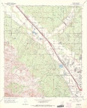
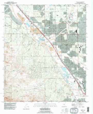
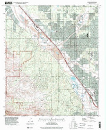
20 topographic sheets cover this place, the earliest surveyed in 1934 and the latest in 1996. It stands in the Tucson census division. It lies in ZIP code area 85741. It lies near Cañada del Oro. The Survey maps it on the Jaynes quadrangle.
Topographic sheets covering this place
12 surveys from 20 printed sheetsMatched by testing this settlement's coordinate against the published boundary of every sheet in the United States Geological Survey's historical collection. Each opens the scanned sheet at the Survey.
- 1934 USGS Tucson Mountains quadrangle1:125000
- 1947 USGS Cortaro quadrangle1:62500
- 1956 USGS Tucson quadrangle1:250000, 3 printings
- 1957 USGS Cortaro quadrangle1:62500, 2 printings
- 1958 USGS Tucson quadrangle1:250000
- 1959 USGS Tucson quadrangle1:250000, 2 printings
- 1962 USGS Tucson quadrangle1:250000
- 1964 USGS Tucson quadrangle1:250000
- 1968 USGS Jaynes quadrangle1:24000, 4 printings
- 1992 USGS Jaynes quadrangle1:24000
- 1994 USGS Silver Bell Mountains quadrangle1:100000, 2 printings
- 1996 USGS Jaynes quadrangle1:24000
Fires near this place
297 since 1992Regional context, not property-specific evidence. The federal wildfire occurrence database lists 297 fires within 5 miles of Kino between 1992 and 2020, burning about 303 acres in total. 9 started naturally. 4 were recorded as arson. Distance is straight-line from the map coordinates, so a fire counted here may appear on a neighbouring settlement's page as well.
| Reported cause | Fires |
|---|---|
| Missing data/not specified/undetermined | 272 |
| Natural | 9 |
| Equipment and vehicle use | 6 |
| Arson/incendiarism | 4 |
| Power generation/transmission/distribution | 3 |
| Smoking | 1 |
| Misuse of fire by a minor | 1 |
| Railroad operations and maintenance | 1 |
The most recent of them, most recent first, with the day each was reported and the service that recorded it.
| Date | Cause | Size | Reported by | Name on the report |
|---|---|---|---|---|
| 9 September 2020 | Missing data/not specified/undetermined | under an acre | Arizona Department of Forestry and Fire Management - State Office | not named |
| 9 September 2019 | Missing data/not specified/undetermined | under an acre | Northwest Fire Rescue District | NOT NAMED |
| 8 September 2019 | Missing data/not specified/undetermined | under an acre | Northwest Fire Rescue District | NOT NAMED |
| 7 September 2020 | Missing data/not specified/undetermined | under an acre | Arizona Department of Forestry and Fire Management - State Office | not named |
| 7 September 2020 | Missing data/not specified/undetermined | under an acre | Arizona Department of Forestry and Fire Management - State Office | not named |
| 6 September 2017 | Missing data/not specified/undetermined | under an acre | Tucson Fire Department | not named |
| 28 September 2018 | Missing data/not specified/undetermined | under an acre | Northwest Fire Rescue District | 1829223 |
| 27 September 2020 | Missing data/not specified/undetermined | under an acre | Arizona Department of Forestry and Fire Management - State Office | not named |
Settlements close enough to share some of these fires:
Mines and quarries near this place
10 of 33 shownRegional context, not property-specific evidence. The federal mineral resources record lists 33 workings within 5 miles of Kino: 21 occurrences, 5 past producers, 4 producers, 2 prospects. 4 still produce. What was taken out: Copper, Sand and Gravel, Construction, Lead, Copper, Vanadium. Distance is straight-line from the map coordinates, so a quarry counted here may appear on a neighbouring settlement's page as well.
| Where | Site | Commodity | Status | Recorded |
|---|---|---|---|---|
| Boston Property | Copper, Silver, Gold | Prospect | ||
| Gila Monster Mine | Lead, Copper, Zinc | Past Producer | Contact Metasomatic | |
| Northern Tucson Mountains | Semiprecious Gemstone, Quartz | Past Producer | Agate, Chalcedony | |
| Old Yuma Mine | Lead, Copper, Gold, Semiprecious Gemstone, Zinc, Molybdenum, Silver, Vanadium | Past Producer | Vanadinite, Wulfenite | |
| Old Yuma Mine | Molybdenum, Silver, Zinc, Copper, Gold, Lead, Vanadium | Past Producer | ||
| Thunderbird Mine | Copper, Lead, Silver, Zinc | Unknown | ||
| Unknown | Geothermal | Occurrence | ||
| Unnamed Prospect 95-17 | Copper, Molybdenum, Lead | Occurrence | Wulfenite | |
| Unnamed Prospect 95-18 | Lead, Molybdenum | Occurrence | Wulfenite | |
| Unnamed Prospect 96-10 | Copper, Lead, Zinc | Occurrence | Contact Metasomatic |
Storms near this place
11 since 2008Regional context, not property-specific evidence. The National Weather Service names Kino in 11 storm reports between 2008 and 2023: 5 flash flood, 5 thunderstorm wind, 1 flood. No death or injury is recorded in these reports. Each account below is quoted exactly as the forecast office filed it, from the NOAA Storm Events Database, and each date opens the federal record of that event.
| When | Event | Place named | Harm | What the report says |
|---|---|---|---|---|
| July 2021 | Flash Flood | Kino | $20,000 | Between 1 and 1.5 of rain fell in less than 1 hour in central Tucson causing widespread street flooding with water flowing across roads 1 to 2 feet deep. Swift water rescues occurred near the intersections of Grant and Tucson and Silverlake and Euclid with vehicles stranded at Mabel and 7th Ave. and the Orange Grove/I-10 underpass. A house was flooded near Speedway and Country Club. |
| July 2018 | Thunderstorm Wind | Kino | $20,000 | Thunderstorm winds blew down a large aluminum light fixture over on Kino Parkway and 22nd St, temporarily closing the road to southbound traffic. About two miles away, winds also blew down a dead tree, which damaged the roof of a house. |
| June 2008 | Thunderstorm Wind | Kino | $10,000 | Part of a roof was lost on a home near 36th St and Kino Blvd. |
| July 2017 | Thunderstorm Wind | Kino | $8,000 | A strong thunderstorm moved through the Tucson metro area during the afternoon with many reports of damage in central and western Tucson. The highest measured wind speed was 49 mph near 7th Street and Campbell. Large trees were uprooted along Kino Parkway and Silverlake Road, near Park and 20th Street, near Stone and 6th Street, near Echols Avenue and 5th Street, and near the McKale Center on the University of Arizona campus. The tree that fell on the U of A campus fell on two parked cars. There was also a power pole down at Speedway Boulevard and I-10. |
| July 2021 | Flash Flood | Kino | $5,000 | One to two inches of rain fell in less than 1 hour northeast of the Tucson International Airport causing flash flooding of area roads. One swift water rescue was conducted for a vehicle stalled in a wash. |
| May 2023 | Thunderstorm Wind | Kino | $2,000 | Thunderstorm winds downed a power line. The line was struck by a train, causing a power pole to fall across Aviation Highway. Winds also downed a small tree at Golf Links and Swan. |
| July 2013 | Flash Flood | Kino | $1,000 | Heavy rain caused flooding along Silverlake Road and Euclid Avenue near downtown Tucson. Vehicles became stalled in the floodwaters and the road was then closed to traffic. |
| August 2022 | Flash Flood | Kino | - | Heavy rain of 2 in 1 hour in the vicinity of Davis-Monthan AFB caused flash flooding and the closure of nearby roads including Contractors Way. |
| August 2021 | Flood | Kino | - | More than 1 inch of rain in less than an hour caused flash flooding in central and eastern Tucson. This includes roadways near the intersections of Speedway and Swan and Grant and 1st Ave. |
| July 2017 | Thunderstorm Wind | Kino | - | Thunderstorm winds uprooted a tree on Ajo Road near Kino Stadium. |
| August 2008 | Flash Flood | Kino | - | Numerous reports of flash flooding occurred in Tucson including one to two feet of water flowing on 5th street and Alvernon Way, a driver pulled from a car due to rising water at Stone and Mabel streets. 1.10 inches of rain occurred in 10 minutes near Country Club and Pima Roads with streets flooded. |
Nearest settlements
The eight closest, with where each one stands in the county. Distances are straight-line, computed from the Geographic Names Information System coordinates.
| Map | Place | Distance | Sheets |
|---|---|---|---|
| Orange Grove Estates | 1.5 miles | 20 | |
| Cortaro | 2.0 miles | 20 | |
| Tucson National Estates | 2.3 miles | 20 | |
| Jaynes | 3.2 miles | 20 | |
| Casas Adobes | 3.6 miles | 26 | |
| Flowing Wells | 3.9 miles | 20 | |
| Gardner Estates | 4.6 miles | 20 | |
| Tortolita | 4.7 miles | 19 |
Provenance
This settlement is recorded in the Geographic Names Information System as feature 24480. The sheet list is computed by point-in-boundary test against the United States Geological Survey's historical topographic inventory. Both are works of the United States government and carry no copyright under 17 U.S.C. 105.
Wildfire. Short, Karen C. 2022. Spatial wildfire occurrence data for the United States, 1992-2020 [FPA_FOD_20221014]. 6th Edition. Fort Collins, CO: Forest Service Research Data Archive. https://doi.org/10.2737/RDS-2013-0009.6 Collected with United States Government funding and usable without additional permissions or fees.
Mines and quarries. USGS Mineral Resources Data System (MRDS) https://mrdata.usgs.gov/mrds/ A work of the United States government, no copyright under 17 U.S.C. 105.
Storms. NOAA National Centers for Environmental Information, Storm Events Database https://www.ncei.noaa.gov/stormevents/ A work of the United States government, no copyright under 17 U.S.C. 105. Narratives are quoted verbatim from the National Weather Service report and are not edited or summarised.