 Block
Little Acres, Arizona
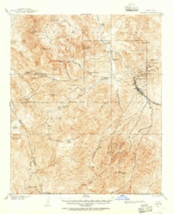
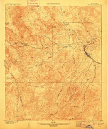
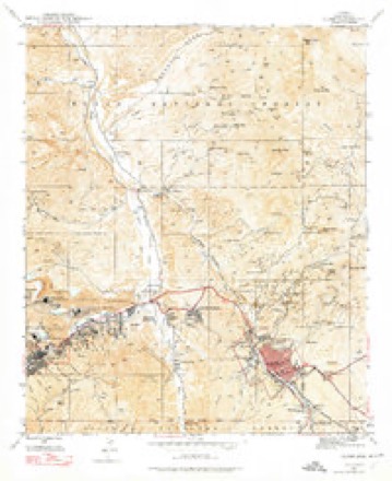
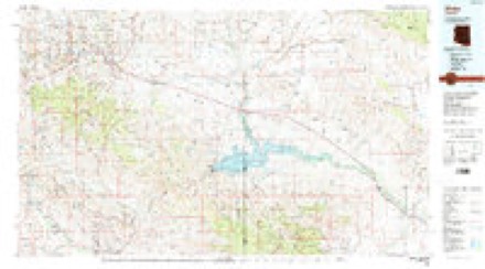
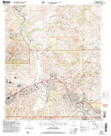
20 topographic sheets cover this place, the earliest surveyed in 1901 and the latest in 2004. It stands in the Globe-Miami census division. It lies in ZIP code area 85501. It lies near Deep Canyon. The Survey maps it on the Globe quadrangle.
Topographic sheets covering this place
10 surveys from 20 printed sheetsMatched by testing this settlement's coordinate against the published boundary of every sheet in the United States Geological Survey's historical collection. Each opens the scanned sheet at the Survey.
- 1901 USGS Globe quadrangle1:62500, 2 printings
- 1902 USGS Globe quadrangle1:62500, 3 printings
- 1945 USGS Globe quadrangle1:24000, 4 printings
- 1954 USGS Mesa quadrangle1:250000, 4 printings
- 1957 USGS Mesa quadrangle1:250000
- 1958 USGS Mesa quadrangle1:250000
- 1960 USGS Mesa quadrangle1:250000
- 1964 USGS Mesa quadrangle1:250000
- 1986 USGS Globe quadrangle1:100000, 2 printings
- 2004 USGS Globe quadrangle1:24000





Fires near this place
171 since 1992Regional context, not property-specific evidence. The federal wildfire occurrence database lists 171 fires within 5 miles of Little Acres between 1992 and 2020, burning about 240 acres in total. 35 started naturally. 17 were recorded as arson. Distance is straight-line from the map coordinates, so a fire counted here may appear on a neighbouring settlement's page as well.
| Reported cause | Fires |
|---|---|
| Missing data/not specified/undetermined | 87 |
| Natural | 35 |
| Arson/incendiarism | 17 |
| Recreation and ceremony | 8 |
| Debris and open burning | 7 |
| Equipment and vehicle use | 7 |
| Railroad operations and maintenance | 3 |
| Smoking | 2 |
| Misuse of fire by a minor | 2 |
| Power generation/transmission/distribution | 2 |
| Fireworks | 1 |
The most recent of them, most recent first, with the day each was reported and the service that recorded it.
| Date | Cause | Size | Reported by | Name on the report |
|---|---|---|---|---|
| 8 September 2017 | Missing data/not specified/undetermined | under an acre | Tri-City Fire District | not named |
| 8 September 1997 | Natural | 155 acres | Tonto National Forest | MUSKHOG |
| 30 September 2001 | Missing data/not specified/undetermined | 5.0 acres | Tonto National Forest | SIXSHOOTER |
| 30 September 1994 | Missing data/not specified/undetermined | 1.0 acres | Tonto National Forest | not named |
| 29 September 2018 | Missing data/not specified/undetermined | under an acre | Tri-City Fire District | 2703 |
| 29 September 2018 | Missing data/not specified/undetermined | under an acre | Globe Fire Department | 1433 |
| 25 September 2018 | Missing data/not specified/undetermined | under an acre | Globe Fire Department | 1418 |
| 25 September 2018 | Equipment and vehicle use | under an acre | Tri-City Fire District | 2663 |
Settlements close enough to share some of these fires:
Mines and quarries near this place
10 of 141 shownRegional context, not property-specific evidence. The federal mineral resources record lists 141 workings within 5 miles of Little Acres: 81 past producers, 41 producers, 8 occurrences, 8 prospects. 43 still produce. What was taken out: Copper, Manganese, Gold, Silver. Distance is straight-line from the map coordinates, so a quarry counted here may appear on a neighbouring settlement's page as well.
| Where | Site | Commodity | Status | Recorded |
|---|---|---|---|---|
| Albert Lea Mine | Silver, Lead, Gold, Copper, Molybdenum, Vanadium, Zinc | Past Producer | 1941, 1946 | |
| Albert Lea Tunnels | Silver, Lead, Zinc, Copper, Gold, Vanadium | Past Producer | ||
| Arizona Commercial Mine | Copper, Gold, Silver, Silica | Past Producer | 1905, 1979 | |
| Azurite Mine | Clay | Occurrence | ||
| Azurite Property | Copper, Semiprecious Gemstone | Producer | ||
| Big Johnnie Mine | Copper, Iron | Past Producer | 1901 | |
| Cedar Tree Deposit | Silver, Copper, Gold, Tungsten | Past Producer | ||
| Copper Cities & Diamond H | Copper, Gold, Zinc, Silver, Molybdenum, Lead, Uranium, Gemstone | Past Producer | 1896 | |
| Copper Hill | Copper, Silica, Silver, Uranium | Past Producer | ||
| Cyprus Miami | Copper, Molybdenum, Silver, Gold, Rhodium, Zinc, Lead, PGE | Producer | 1872, 1915 |
Storms near this place
12 since 2011Regional context, not property-specific evidence. The National Weather Service names Little Acres in 12 storm reports between 2011 and 2022: 9 flash flood, 2 thunderstorm wind, 1 dust devil. No death or injury is recorded in these reports. Each account below is quoted exactly as the forecast office filed it, from the NOAA Storm Events Database, and each date opens the federal record of that event.
| When | Event | Place named | Harm | What the report says |
|---|---|---|---|---|
| August 2021 | Flash Flood | Little Acres | $8,000,000 | After 2 to 4 inches of rain fell, beginning around 0830MST, over the 2021 Telegraph burn area, catastrophic flooding occurred in Claypool area between Miami and Globe. Runoff mostly collected in Russell Gulch and a few feet of floodwaters moved downhill through the Claypool community. Security cam footage from a pizza shop showed floodwaters reached US-60 near mile post 247 around 1056MST. US-60 became impassible a couple minutes later and was closed in both directions for a couple hours before being reopened around 1240MST. The same areas were impacted again in the mid-afternoon after another wave of flash flooding move through the area. The Gila County Emergency Manager estimated over 50 homes and structures were damaged by flooding. Included in the damage was the pizza shop with the security footage, which was fully surrounded by flooding. A hotel next to the pizza shop had all of its ground level rooms flooded, including a wall that collapsed due to the force of the water. Roads to the nearby hospital were cutoff by floodwaters. The hardest hit area was Little Acres Mobile Home Park, 1 mile south of US-60. Most if not all of the mobile homes had flood damage as an estimated 4 feet of water and mud moved through the park. Security footage shows one home was even swept from one side of the park to the other and was destroyed. Many of the owners were displaced from their homes for several days while the park was cleaned. A power substation next to the park also experienced significant flooding. Fortunately there were no injuries or fatalities reported from this event. |
| August 2021 | Flash Flood | Little Acres | $50,000 | Photos and videos show large sections of Russell Road, in multiple spots, were eroded and washed into Russell Gulch during significant flash flooding. Some photos, after the water receded, suggest the floodwaters may have been 6 to 8 feet deep. The significant destruction of Russell Road occurred roughly 2 miles south of the catastrophic flooding that occurred in the Claypool area, between Miami and Globe. Timing based on webcam footage in the area. No injuries were reported. |
| August 2014 | Thunderstorm Wind | Little Acres | $25,000 | Thunderstorms developed across portions of southern Gila county during the afternoon hours on August 17th, and some of them affected the community of Globe. The stronger storms produced strong, gusty and damaging microburst winds estimated to be as high as 70 mph. According to local law enforcement, strong winds caused a portion of the roof of a home to be blown off; the roof landed on a nearby car. The home was located 1 mile northwest of the town of Globe. No injuries were reported. |
| July 2011 | Dust Devil | Little Acres | $25,000 | An unusually strong dust devil developed west of the Globe city limits during the late morning hours of July 6th. The dust devil formed in the Central Heights area, a subdivision between Globe and Miami. According to an article in the Copper Country News, the dust devil collapsed an above ground pool. The water from the pool then brought down a concrete and rock retaining wall. The wall collapsed on top of a car, crushing and severely damaging the car. |
| August 2018 | Flash Flood | Little Acres | $5,000 | Thunderstorms with very heavy rain developed over the higher terrain northeast of Phoenix during the evening hours on August 24th. Some of the stronger storms produced intense rain with peak rain rates approaching 4 inches per hour which was sufficient to produce flash flooding in the towns of Claypool and Miami. According to a trained spotter located 1 mile southeast of Claypool, flash flooding resulted in debris and boulders flowing across area roads at 1925MST. The spotter estimated that 1 inch of rain fell within a 15 minute period. No accidents were reported due to the debris on the roadway. |
| August 2022 | Flash Flood | Little Acres | - | A webcam showed Russell Gulch experiencing a flash flood of at least a few feet high. No damages or injuries were reported. |
| August 2022 | Flash Flood | Little Acres | - | Picture shows Russell Rd near Utility St impassable due to flash flooding. Timing estimated from radar. No damages or injuries were reported. |
| July 2021 | Flash Flood | Little Acres | - | An emergency manager reported a 4-5 foot rise in water in the typically dry Russell Gulch with enhanced runoff from the 2021 Telegraph burn scar. The timing of max flow was estimated. Additionally, Russell Road, which runs through Russell Gulch, was reportedly closed at mile marker 4 by a former trained spotter due to flood waters and burned mud. No damages or injuries were reported. |
| July 2021 | Flash Flood | Little Acres | - | Emergency management reported flash flooding in Russell Gulch that resulted in a low water crossing being closed near a medical center due to flooding. A bridge near the medical center came close to overtopping. Water also spilled out of a channel near a public works yard. No damage or injuries were reported. |
| August 2021 | Flash Flood | Little Acres | - | Gila County Emergency Manager reported Russell Gulch experienced flash flooding, in the Claypool area between Miami and Globe, after heavy rain fell over the Pinal Mountains within the 2021 Telegraph Fire burn area. Measured and radar estimated rainfall amounts were around 1 to 2 inches over the area and upstream, bringing the day's total to around 2.5 to 4.5 inches over the burn scar. Flash flooding impacted the same areas as the catastrophic flooding earlier in the morning, but was less intense according to the emergency manager. Still the bridge to the hospital near Hospital Road and Russell Road was impassable and nearby homes likely experienced impacts again. No injuries were reported and there were no reports of new damage costs. |
| November 2019 | Thunderstorm Wind | Little Acres | - | A strong cold front, associated with a powerful Pacific low pressure system, moved quickly east across southern Gila County during the morning hours on November 29th. Earlier in the morning, the front produced numerous episodes of wind damage and spawned several tornadoes across the greater Phoenix area. At 0604MST a mesonet weather station 8 miles to the south of Globe measured a wind gust to 66 mph. There were no reports of damage in the area due to the strong gust. |
| July 2017 | Flash Flood | Little Acres | - | Thunderstorms with heavy rain developed over portions of southern Gila County during the late evening hours on July 16th and some of them affected the communities of Globe and Miami. According to a report from the public, at about midnight, flash flooding developed just southeast of Claypool and between the towns of Globe and Miami. A low water crossing was closed near the Cobre Valley Community Hospital due to significant flow. The depth of the flow in Russell Gulch at the low water crossing was one foot, and the width was 100 feet. A Flash Flood Watch had been issued at 2325MST the previous day and the watch remained in effect through 0230MST; however the location of the flooding appeared to be just north of the warning area. |
Nearest settlements
The eight closest, with where each one stands in the county. Distances are straight-line, computed from the Geographic Names Information System coordinates.
| Map | Place | Distance | Sheets |
|---|---|---|---|
| Miami Gardens | 1.1 miles | 20 | |
| Dimario Place | 1.2 miles | 20 | |
| Midland City | 1.2 miles | 20 | |
| Central Heights | 1.3 miles | 20 | |
| Claypool | 1.6 miles | 20 | |
| Globe | 1.8 miles | 20 | |
| Lower Miami | 2.0 miles | 20 | |
| Miami | 2.6 miles | 20 |
Provenance
This settlement is recorded in the Geographic Names Information System as feature 31025. The sheet list is computed by point-in-boundary test against the United States Geological Survey's historical topographic inventory. Both are works of the United States government and carry no copyright under 17 U.S.C. 105.
Wildfire. Short, Karen C. 2022. Spatial wildfire occurrence data for the United States, 1992-2020 [FPA_FOD_20221014]. 6th Edition. Fort Collins, CO: Forest Service Research Data Archive. https://doi.org/10.2737/RDS-2013-0009.6 Collected with United States Government funding and usable without additional permissions or fees.
Mines and quarries. USGS Mineral Resources Data System (MRDS) https://mrdata.usgs.gov/mrds/ A work of the United States government, no copyright under 17 U.S.C. 105.
Storms. NOAA National Centers for Environmental Information, Storm Events Database https://www.ncei.noaa.gov/stormevents/ A work of the United States government, no copyright under 17 U.S.C. 105. Narratives are quoted verbatim from the National Weather Service report and are not edited or summarised.