 Block
Page, Arizona
23 topographic sheets cover this place, the earliest surveyed in 1886 and the latest in 1985. It stands in the Tuba City census division. It lies in ZIP code area 86040. It lies near Manson Mesa. The Survey maps it on the Page quadrangle. 7,440 people lived here at the 2020 count. It stands 4,117 feet above sea level.
On record in Page
Buildings and businesses the archive holds for this place. Each opens its own page, with the source record it came from.
On the National Register 2 records
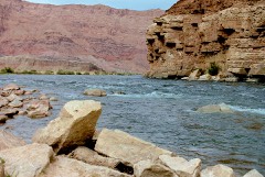 Lees Ferrylisted 1976
- Lonely Dell Ranch Historic Districtlisted 1978
Surveyed buildings and structures 7 records
- Lee's Ferry, Chicken House, U.S. Route Alternate 89, Pagefederal building survey, 1 photograph
- Lee's Ferry, Fort, U.S. Route Alternate 89, Pagefederal building survey, 3 photographs
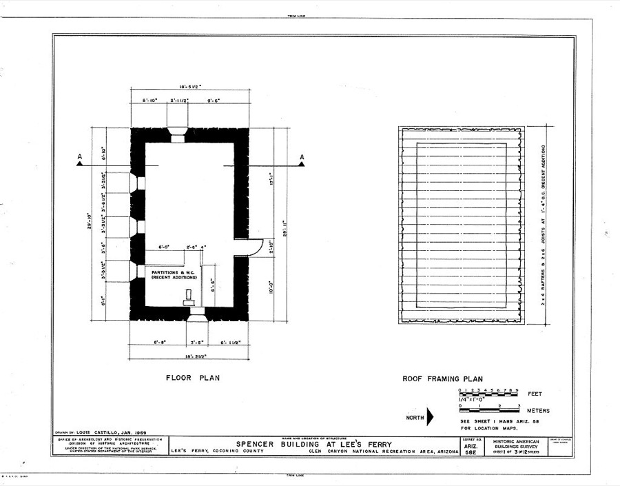
- Lee's Ferry, Old Spencer Cabin, U.S. Route Alternate 89, Pagefederal building survey, 3 photographs
- Lee's Ferry, Post Office, U.S. Route Alternate 89, Pagefederal building survey, 3 photographs
- Lee's Ferry, Root Cellar, U.S. Route Alternate 89, Pagefederal building survey, 1 photograph
- Lee's Ferry, U.S. Route Alternate 89, Pagefederal building survey, 1 photograph
- Navajo Bridge, Spanning Colorado River at U.S. Highway 89 Alternate, Pagefederal building survey, 65 photographs
Population over time
2 figuresPage grew from 7,247 to 7,440 between 2010 and 2020. These are the recorded population figures Wikidata holds for this place, reached through the Geographic Names Information System number this page is keyed on rather than by name, so they belong to this place and not to another of the same name. Most are census counts, but not all are: an early figure may be a founding or settlement estimate, and an estimate published within five years of a census is left out. The change column is computed, and is left blank where more than 20 years separate a figure from the one before it, because a gap that long is not a change between two counts.
| Year | People | Change |
|---|---|---|
| 2010 | 7,247 | |
| 2020 | 7,440 | +193 (+3%) |
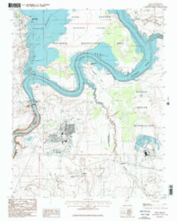
Topographic sheets covering this place
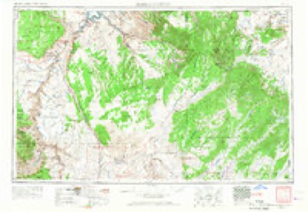
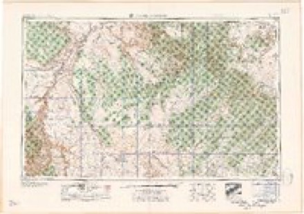
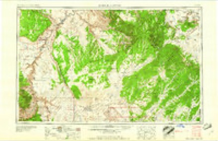
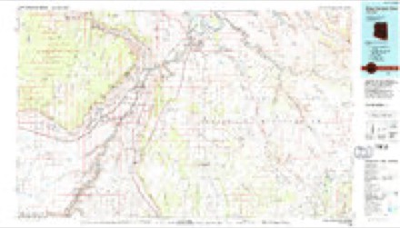
8 surveys from 23 printed sheetsMatched by testing this settlement's coordinate against the published boundary of every sheet in the United States Geological Survey's historical collection. Each opens the scanned sheet at the Survey.
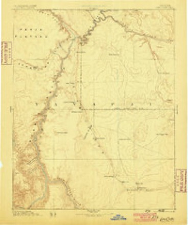
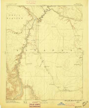
- 1886 USGS Echo Cliffs quadrangle1:250000, 2 printings
- 1891 USGS Echo Cliffs quadrangle1:250000, 8 printings
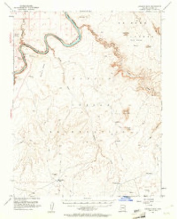
- 1954 USGS Leche-E Rock quadrangle1:62500, 3 printings
- 1956 USGS Marble Canyon quadrangle1:250000, 4 printings
- 1959 USGS Marble Canyon quadrangle1:250000
- 1961 USGS Marble Canyon quadrangle1:250000
- 1984 USGS Glen Canyon Dam quadrangle1:100000, 2 printings
- 1985 USGS Page quadrangle1:24000, 2 printings
Photographs
1 photograph,Taken for the Office of War Information and the Farm Security Administration, who photographed the country between 1935 and 1944. Works of United States government photographers, with no known restriction on use. Each opens its catalogue record.
Photographer not recorded. Library of Congress
Fires near this place
29 since 1994Regional context, not property-specific evidence. The federal wildfire occurrence database lists 29 fires within 5 miles of Page between 1994 and 2020, burning about 20 acres in total. 1 started naturally. 2 were recorded as arson. Distance is straight-line from the map coordinates, so a fire counted here may appear on a neighbouring settlement's page as well.
| Reported cause | Fires |
|---|---|
| Missing data/not specified/undetermined | 23 |
| Recreation and ceremony | 2 |
| Arson/incendiarism | 2 |
| Natural | 1 |
| Equipment and vehicle use | 1 |
The most recent of them, most recent first, with the day each was reported and the service that recorded it.
| Date | Cause | Size | Reported by | Name on the report |
|---|---|---|---|---|
| 3 September 2011 | Equipment and vehicle use | under an acre | Glen Canyon National Recreation Area | HAY |
| 21 August 2018 | Missing data/not specified/undetermined | under an acre | Arizona Department of Forestry and Fire Management - State Office | 1749 |
| 13 August 2018 | Missing data/not specified/undetermined | under an acre | Arizona Department of Forestry and Fire Management - State Office | 1668 |
| 12 August 2018 | Missing data/not specified/undetermined | under an acre | Arizona Department of Forestry and Fire Management - State Office | 1665 |
| 12 August 2018 | Missing data/not specified/undetermined | under an acre | Arizona Department of Forestry and Fire Management - State Office | 1666 |
| 11 August 2018 | Missing data/not specified/undetermined | under an acre | Arizona Department of Forestry and Fire Management - State Office | 1657 |
| 9 July 2010 | Missing data/not specified/undetermined | under an acre | Glen Canyon National Recreation Area | BEER CAN HILL |
| 4 July 2018 | Missing data/not specified/undetermined | under an acre | Arizona Department of Forestry and Fire Management - State Office | 1396 |
Settlements close enough to share some of these fires:
Mines and quarries near this place
1 within 5 milesRegional context, not property-specific evidence. The federal mineral resources record lists 1 working within 5 miles of Page: 1 occurrence. None of them still produces. What was taken out: Uranium. Distance is straight-line from the map coordinates, so a quarry counted here may appear on a neighbouring settlement's page as well.
| Where | Site | Commodity | Status | Recorded |
|---|---|---|---|---|
| Uranium Deposit-M002733 | Uranium | Occurrence |
Storms near this place
21 since 1997Regional context, not property-specific evidence. The National Weather Service names Page in 21 storm reports between 1997 and 2025: 13 flash flood, 2 flood, 2 heavy rain, 2 thunderstorm wind. The reports record 11 deaths and 3 injuries. Each account below is quoted exactly as the forecast office filed it, from the NOAA Storm Events Database, and each date opens the federal record of that event.
| When | Event | Place named | Harm | What the report says |
|---|---|---|---|---|
| August 1997 | Flash Flood | Page | 11 killed, 1 hurt | Eleven hikers and tourists were drowned by a flash flood in a narrow slot canyon 5 miles southeast of Page. A severe thunderstorm 3 to 5 miles upstream produced very heavy rain causing a 10-30 foot wall of water to crash down Antelope Canyon. In the area of the flood fatalities the depth and width of Antelope Canyon varies from about 20 feet across and 30 feet deep to points where it is 200 feet deep but only two (2) feet across. It is a popular site for hiking and photography where access is via rope ladders controlled by Navajo Nation representatives. The eleven who died and a tour guide were warned not to enter the canyon because of the flood potential from an approaching thunderstorm. The tour guide alone survived after being carried several miles downstream by the flood. |
| August 2024 | Lightning | Page | 2 hurt | Two people were injured by lightning near the Rim Overlook at Horseshoe Bend. |
| July 2023 | Thunderstorm Wind | Page | $100,000 | Strong winds broke large tree limbs, uprooted trees, blew shingles off structures, and caused power outages for much of the city of Page. |
| July 2022 | Flash Flood | Page | $20,000 | Heavy rain caused flash flooding in Antelope Canyon. The popular tourist slot canyon was closed for at least a day so that the water could be removed and sand could be replaced. |
| September 2017 | Thunderstorm Wind | Page | $20,000 | A thunderstorm produce damaging winds in the Page area. The hanger at the Page Airport was damaged. The Jet Center windows were blown out by the winds. A few trees were uprooted. The Page ASOS recorded a peak wind gust of 56 MPH at 1238 PM MST. ||Multiple homes in the Champan Village area were damaged by flying debris and falling trees. Two power poles were destroyed when wind blown trees fell on them. This caused power outages in the area. |
| August 1997 | Flash Flood | Page | $10,000 | Power poles were knocked over by mudslides in the Wahweap area and street flooding was reported in Page. |
| July 1999 | Flood | Page | $1,000 | no account filed |
| August 2025 | Heavy Rain | Page | - | Public reported heavy rain near Glen Canyon Dam that closed the Chains and Hanging Gardens trailheads due to flooding. Rainfall was estimated at 0.5 inches. |
| July 2022 | Flash Flood | Page | - | A video of flash flooding in Antelope Canyon was posted on social media. |
| September 2021 | Flash Flood | Page | - | Heavy rain flooded a wash which created a waterfall over the rim and into Glen Canyon just below/south of Glen Canyon Dam. |
| August 2015 | Flash Flood | Page | - | A maintenance worker at the Lake Powell Tribal Park reported significant flooding in Antelope Canyon. Time estimated using radar data. |
| June 2015 | Heavy Rain | Page | - | Heavy rain from a thunderstorm caused water and mud to run over Highway 89 near Glen Canyon Bridge. The north bound lane was briefly closed (Estimated time). |
| August 2013 | Flash Flood | Page | - | A major flash flood hit Antelope Canyon with water hitting the underside of a bridge. The water in the normally dry slot canyon is over 40 feet in places. Flood waters in Honey Draw were running over State Route 99 and and State Highway 89. The water and mud flowed down State Highway 89 and into a gas station at Lake Powell Boulevard. The mud that was deposited in the parking lot was 12-18 inches deep and trapped vehicles. |
| August 2013 | Flash Flood | Page | - | Flash flooding was reported in Antelope Canyon southeast of Page. Eight to 12 inches of new sand was deposited in this popular slot canyon. |
| August 2010 | Flash Flood | Page | - | The tour company at Antelope Canyon reported flash flooding in the canyon after midnight. |
| July 2007 | Flash Flood | Page | - | Heavy rain from a thunderstorm produced a flash flood and mudslide on Copper Mind Road. |
| July 2006 | Flash Flood | Page | - | Antelope Canyon had 3 to 4 feet of water flowing through it Sunday evening. |
| October 2006 | Flash Flood | Page | - | An Antelope Canyon Tours employee reported a large amount of water flowing through the normally dry slot canyon. |
| August 2003 | Flash Flood | Page | - | A "massive" flash flood swept through Antelope Canyon near Page. Four feet of sand was removed from this slot canyon with even higher water levels. State Route 98 was flooded near mile post 307 and from mile post 300 to mile post 302. |
| August 1997 | Hail | Page | - | 0.75 inch diameter hail reported by the public. |
| October 1997 | Flood | Page | - | Heavy thunderstorm rains caused mudslides and flooding in the Wahweep area of Page, AZ closing Lakeshore Drive. |
Nearest settlements
The eight closest, with where each one stands in the county. Distances are straight-line, computed from the Geographic Names Information System coordinates.
| Map | Place | Distance | Sheets |
|---|---|---|---|
| Wahweap | 5.9 miles | 23 | |
| Chair Crossing | 7.9 miles | 25 | |
| Greenehaven | 8.0 miles | 26 | |
| Marble Canyon | 11.8 miles | 25 | |
| Bitter Springs | 22.4 miles | 23 | |
| Kaibito | 29.8 miles | 19 | |
| One Mile | 32.6 miles | 22 | |
| Navajo Mountain Mission | 36.0 miles | 13 |
Elsewhere
Matched on this settlement's Geographic Names Information System number rather than its name, so it cannot be a different place of the same name in another state.
| Wikipedia article on Page | An encyclopaedic summary. Its text is share-alike, so it is linked here rather than copied. |
| Wikidata item Q79940 | The structured record the population and elevation above come from. Public domain (CC0). |
Provenance
This settlement is recorded in the Geographic Names Information System as feature 9110. The sheet list is computed by point-in-boundary test against the United States Geological Survey's historical topographic inventory. Both are works of the United States government and carry no copyright under 17 U.S.C. 105.
Wildfire. Short, Karen C. 2022. Spatial wildfire occurrence data for the United States, 1992-2020 [FPA_FOD_20221014]. 6th Edition. Fort Collins, CO: Forest Service Research Data Archive. https://doi.org/10.2737/RDS-2013-0009.6 Collected with United States Government funding and usable without additional permissions or fees.
Mines and quarries. USGS Mineral Resources Data System (MRDS) https://mrdata.usgs.gov/mrds/ A work of the United States government, no copyright under 17 U.S.C. 105.
Storms. NOAA National Centers for Environmental Information, Storm Events Database https://www.ncei.noaa.gov/stormevents/ A work of the United States government, no copyright under 17 U.S.C. 105. Narratives are quoted verbatim from the National Weather Service report and are not edited or summarised.