 Block
Parker, Arizona
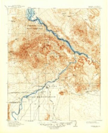
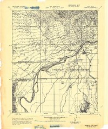
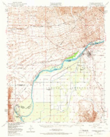
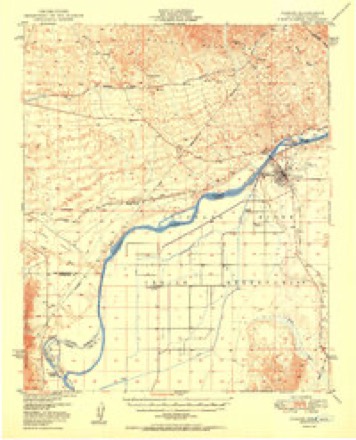
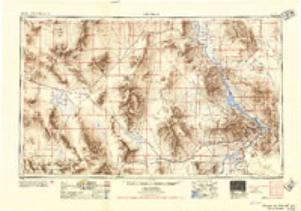
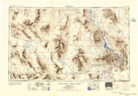
22 topographic sheets cover this place, the earliest surveyed in 1911 and the latest in 1985. It stands in the Parker census division. It lies in ZIP code area 85344. It lies near Headgate Rock. The Survey maps it on the Parker quadrangle. 3,417 people lived here at the 2020 count. It stands 423 feet above sea level.
On record in Parker
Buildings and businesses the archive holds for this place. Each opens its own page, with the source record it came from.
On the National Register 3 records
- Classroom Building, Poston Elementary School, Unit 1National Historic Landmark · listed 2012
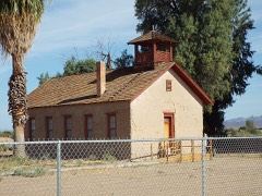 Old Presbyterian Churchlisted 1971
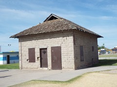 Parker Jaillisted 1975
Surveyed buildings and structures 2 records
- Colorado River Aqueduct, From Colorado River to Lake Mathews, Parker Damfederal building survey, 3 photographs
- Parker Dam, Spanning Colorado River between AZ & CA, Parkerfederal building survey, 16 photographs
Population over time
3 figuresParker grew from 3,140 to 3,417 between 2000 and 2020. These are the recorded population figures Wikidata holds for this place, reached through the Geographic Names Information System number this page is keyed on rather than by name, so they belong to this place and not to another of the same name. Most are census counts, but not all are: an early figure may be a founding or settlement estimate, and an estimate published within five years of a census is left out. The change column is computed, and is left blank where more than 20 years separate a figure from the one before it, because a gap that long is not a change between two counts.
| Year | People | Change |
|---|---|---|
| 2000 | 3,140 | |
| 2010 | 3,083 | -57 (-2%) |
| 2020 | 3,417 | +334 (+11%) |
Topographic sheets covering this place
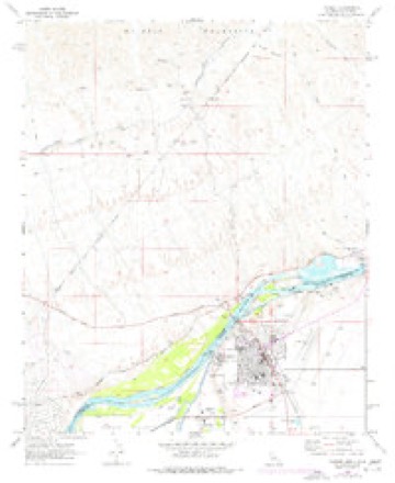
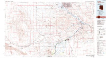
9 surveys from 22 printed sheetsMatched by testing this settlement's coordinate against the published boundary of every sheet in the United States Geological Survey's historical collection. Each opens the scanned sheet at the Survey.
- 1911 USGS Parker quadrangle1:125000, 3 printings
- 1943 USGS Parker quadrangle1:62500
- 1949 USGS Parker quadrangle1:62500, 2 printings
- 1950 USGS Parker quadrangle1:62500, 2 printings
- 1954 USGS Needles quadrangle1:250000
- 1956 USGS Needles quadrangle1:250000, 7 printings
- 1970 USGS Parker quadrangle1:24000, 3 printings
- 1981 USGS Needles quadrangle1:250000
- 1985 USGS Parker quadrangle1:100000, 2 printings
Photographs
2 photographs,Taken for the Office of War Information and the Farm Security Administration, who photographed the country between 1935 and 1944. Works of United States government photographers, with no known restriction on use. Each opens its catalogue record.
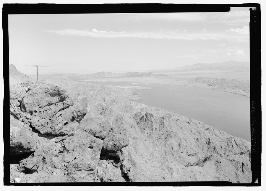
Photographer not recorded. Library of Congress
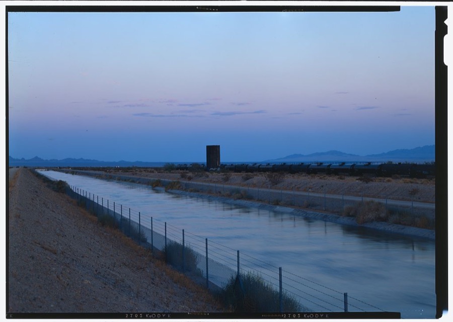
Photographer not recorded. Library of Congress
Fires near this place
201 since 1992Regional context, not property-specific evidence. The federal wildfire occurrence database lists 201 fires within 5 miles of Parker between 1992 and 2020, burning about 1,100 acres in total. 5 started naturally. 7 were recorded as arson. Distance is straight-line from the map coordinates, so a fire counted here may appear on a neighbouring settlement's page as well.
| Reported cause | Fires |
|---|---|
| Missing data/not specified/undetermined | 116 |
| Debris and open burning | 35 |
| Misuse of fire by a minor | 19 |
| Arson/incendiarism | 7 |
| Recreation and ceremony | 6 |
| Natural | 5 |
| Smoking | 4 |
| Equipment and vehicle use | 4 |
| Fireworks | 3 |
| Power generation/transmission/distribution | 2 |
The most recent of them, most recent first, with the day each was reported and the service that recorded it.
| Date | Cause | Size | Reported by | Name on the report |
|---|---|---|---|---|
| 8 September 2005 | Missing data/not specified/undetermined | under an acre | Colorado River Agency | LUIGI |
| 8 September 1999 | Missing data/not specified/undetermined | under an acre | Colorado River Agency | BROWN |
| 7 September 2005 | Debris and open burning | under an acre | Colorado River Agency | MARIO |
| 6 September 2015 | Missing data/not specified/undetermined | 2.0 acres | Colorado River Agency | BOOTH |
| 5 September 1999 | Missing data/not specified/undetermined | under an acre | Colorado River Agency | MOHAVE RD |
| 27 September 2005 | Missing data/not specified/undetermined | under an acre | Colorado River Agency | 2 PALM |
| 25 September 2000 | Missing data/not specified/undetermined | under an acre | Colorado River Agency | MOHAVE RD |
| 22 September 1998 | Missing data/not specified/undetermined | under an acre | Colorado River Agency | S. LOST LK |
Settlements close enough to share some of these fires:
Mines and quarries near this place
8 within 5 milesRegional context, not property-specific evidence. The federal mineral resources record lists 8 workings within 5 miles of Parker: 4 occurrences, 4 producers. 4 still produce. What was taken out: Sand and Gravel, Construction, Clay, Gold, Silver. Distance is straight-line from the map coordinates, so a quarry counted here may appear on a neighbouring settlement's page as well.
| Where | Site | Commodity | Status | Recorded |
|---|---|---|---|---|
| Morgan Claim | Gold, Silver | Occurrence | ||
| Unknown | Pumice | Occurrence | ||
| Clay King Mine | Clay | Occurrence | ||
| Clay King Mine | Clay | Occurrence | ||
| Blue River Pit | Sand and Gravel, Construction | Producer | ||
| Parker Pit | Sand and Gravel, Construction | Producer | ||
| Tamer S & G Pit | Sand and Gravel, Construction | Producer | ||
| Tanner Sand and Gravel Pit | Sand and Gravel, Construction | Producer |
Storms near this place
23 since 1994Regional context, not property-specific evidence. The National Weather Service names Parker in 23 storm reports between 1994 and 2025: 14 thunderstorm wind, 6 flash flood, 2 heavy rain, 1 hail. No death or injury is recorded in these reports. Each account below is quoted exactly as the forecast office filed it, from the NOAA Storm Events Database, and each date opens the federal record of that event.
| When | Event | Place named | Harm | What the report says |
|---|---|---|---|---|
| July 2014 | Thunderstorm Wind | Parker | $80,000 | Intense thunderstorms developed across portions of northwest La Paz county during the late afternoon hours on July 8th, and they affected the town of Parker. The strong storms produced damaging microburst outflow winds estimated to be in excess of 80 mph. According to local law enforcement, 4 mobile homes were overturned in Parker. In addition, the gusty winds blew down power poles and caused roof damage to local residences. Fortunately, no injuries were reported. |
| July 2012 | Thunderstorm Wind | Parker | $75,000 | Intense thunderstorms developed across La Paz county during the late morning and early afternoon hours on July 31st. In addition to producing heavy rain, a few of the storms generated strong and damaging wet microburst winds, estimated to be at least 50 knots. Local law enforcement reported that power lines were down along Arizona highway 95 both north and south of Parker. The Parker airport experienced a peak wind gust to 56 mph with the storms, and according to APS, 7 power poles were downed in the Parker area. |
| September 2019 | Thunderstorm Wind | Parker | $30,000 | Isolated to scattered monsoon thunderstorms developed during the evening hours in the Parker area on September 1st and some of the stronger storms produced gusty and damaging outflow winds. According to a local newspaper report, at 2150MST gusty winds estimated to be as high as 70 mph caused severe roof damage to a standalone business located near the intersection of Kofa Avenue and 4th Street, about 2 miles northwest of Parker. Additionally the paper reported that the strong winds stripped a carport awning off of a mobile home and blew the awning across some power lines. No injuries were reported as a result of the damage. |
| July 2009 | Thunderstorm Wind | Parker | $25,000 | Alamo Lake State Park reported damage to several RV's due to winds. APS power outage lasted for about 9 hours. |
| July 2005 | Thunderstorm Wind | Parker | $20,000 | Tree limbs down and buildings damaged. |
| August 2021 | Thunderstorm Wind | Parker | $10,000 | Multiple trees were down around Parker including a palm tree that fell into the street along the 900 block of California Avenue/State Route 95. Timing estimated from radar and wind estimated from damage report. No injuries were reported. |
| July 1999 | Thunderstorm Wind | Parker | $10,000 | Power lines down. |
| July 2013 | Heavy Rain | Parker | $6,000 | Scattered thunderstorms developed across portions of La Paz county during the late morning hours on July 26th and they affected the area around Parker. The storms produced locally heavy rainfall with rain rates in excess of one inch per hour. The heavy rain led to the issuance of an Urban and Small Stream Flood Advisory for northern La Paz county, including the community of Parker. The advisory was issued at 1150 am and continued until 145 pm. At 1145 am, a local Emergency Manager reported that heavy rain caused roadway flooding in Parker, with water over curbs in some locations. Additionally, the heavy rain and associated gusty winds downed a few trees of unspecified diameters, and also downed a railroad crossing arm. |
| August 2005 | Thunderstorm Wind | Parker | $6,000 | Thunderstorms with heavy rain and damaging winds moved east across the northern portion of the county. Winds blew down 6 utility power poles. |
| June 2000 | Thunderstorm Wind | Parker | $4,000 | Power poles blown down near Route 72 and McVay roads. |
| August 2021 | Thunderstorm Wind | Parker | $2,000 | A 1 foot diameter mesquite tree fell on a home near 15th Street and Ocotillo Avenue. Damage to the home was not reported. Timing estimated from radar and wind estimated from damage report. No injuries reported. |
| September 2019 | Thunderstorm Wind | Parker | $2,000 | Scattered monsoon thunderstorms developed around Parker during the evening hours on September 1st. Some of the stronger storms produced gusty and damaging outflow winds. According to a report from the public, at 2150MST outflow winds estimated to be at least 65 mph in strength knocked over a large pine tree located at the Wallace Elementary School. The trunk of the tree had an estimated diameter of nearly 18 inches. No injuries were reported. |
| June 2025 | Flash Flood | Parker | - | The intersection of 4th Street and California Avenue in Parker was closed due to flooding. No damages nor injuries were reported. |
| July 2021 | Flash Flood | Parker | - | The Arizona Department of Transportation reported water, mud, rocks, and debris flowing onto Riverside Drive in Parker, impeding travel. No damage or injuries were reported. |
| August 2006 | Thunderstorm Wind | Parker | - | Several power poles blown down. |
| September 2006 | Heavy Rain | Parker | - | Very heavy rainfall associated with thunderstorms and strong winds affected much of Northern La Paz County during the early morning hours. |
| August 2005 | Flash Flood | Parker | - | Vicksburg Road closed from I-10 to route 60 due to flooding. Street flooding reported in Quartzsite. |
| September 2004 | Flash Flood | Parker | - | Very heavy rain resulted in flooding of homes and highways in the Parker area. One gauge indicated 1.15 inches. |
| July 1998 | Thunderstorm Wind | Parker | - | Trees and power lines down. |
| September 1997 | Flash Flood | Parker | - | Heavy rainfall left many low spots and highway dips flooded between Bouse and Parker. |
| September 1997 | Flash Flood | Parker | - | Heavy rain, with total rainfall of up to 3 inches, fell in Parker. The rain was associated with Tropical Storm Nora. There was a foot of standing water on many roads and many more were closed. |
| July 1994 | Thunderstorm Wind | Parker | - | Winds blew down street signs and damaged many awnings during a severe thunderstorm. |
| September 1999 | Hail | Parker | - | no account filed |
Nearest settlements
The eight closest, with where each one stands in the county. Distances are straight-line, computed from the Geographic Names Information System coordinates.
| Map | Place | Distance | Sheets |
|---|---|---|---|
| Bluewater | 1.8 miles | 22 | |
| Cienega Springs | 4.3 miles | 25 | |
| Parker Strip | 6.8 miles | 25 | |
| Poston | 12.4 miles | 22 | |
| Planet | 18.5 miles | 18 | |
| Bouse | 21.2 miles | 19 | |
| Midway | 22.0 miles | 18 | |
| Swansea | 23.5 miles | 18 |
Elsewhere
Matched on this settlement's Geographic Names Information System number rather than its name, so it cannot be a different place of the same name in another state.
| Wikipedia article on Parker | An encyclopaedic summary. Its text is share-alike, so it is linked here rather than copied. |
| Wikidata item Q916314 | The structured record the population and elevation above come from. Public domain (CC0). |
Provenance
This settlement is recorded in the Geographic Names Information System as feature 9220. The sheet list is computed by point-in-boundary test against the United States Geological Survey's historical topographic inventory. Both are works of the United States government and carry no copyright under 17 U.S.C. 105.
Wildfire. Short, Karen C. 2022. Spatial wildfire occurrence data for the United States, 1992-2020 [FPA_FOD_20221014]. 6th Edition. Fort Collins, CO: Forest Service Research Data Archive. https://doi.org/10.2737/RDS-2013-0009.6 Collected with United States Government funding and usable without additional permissions or fees.
Mines and quarries. USGS Mineral Resources Data System (MRDS) https://mrdata.usgs.gov/mrds/ A work of the United States government, no copyright under 17 U.S.C. 105.
Storms. NOAA National Centers for Environmental Information, Storm Events Database https://www.ncei.noaa.gov/stormevents/ A work of the United States government, no copyright under 17 U.S.C. 105. Narratives are quoted verbatim from the National Weather Service report and are not edited or summarised.