 Block
From the record
6 National Register listings published here, 1 of them a National Historic Landmark.
Sources: the National Register database, National Park Service
162 topographic sheets cover 35 settlements here, and 6 properties are on the National Register of Historic Places.
6 National Register listings published here, 1 of them a National Historic Landmark.
Sources: the National Register database, National Park Service
Taken for the Office of War Information and the Farm Security Administration, who photographed the country between 1935 and 1944. Works of United States government photographers, with no known restriction on use. Each opens its catalogue record.
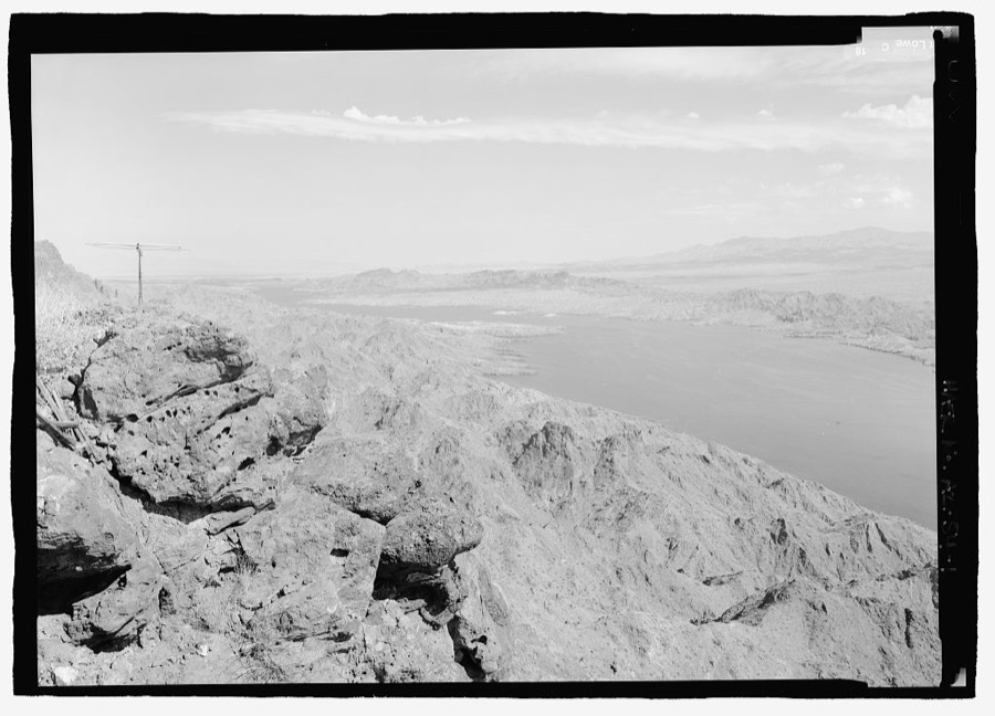
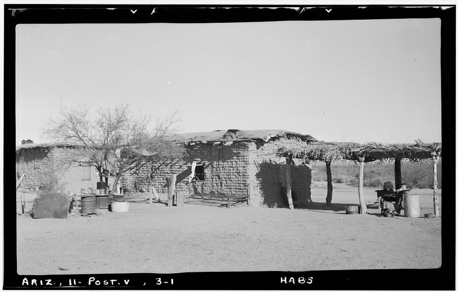
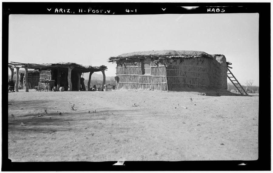
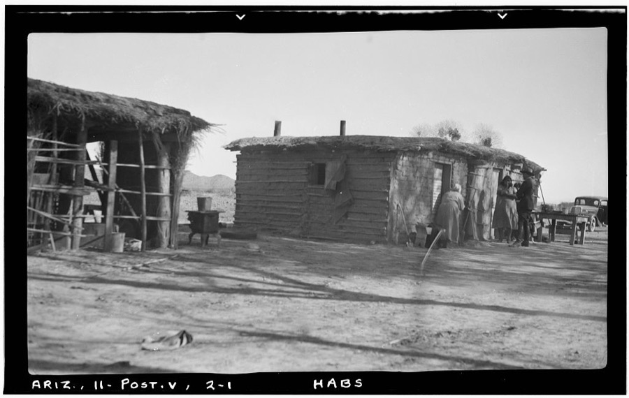
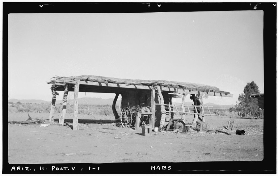
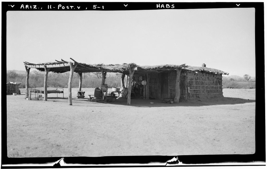
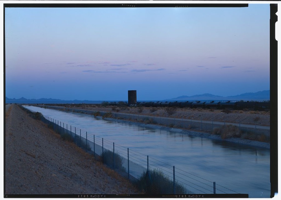
Every property in this county listed on the National Register of Historic Places, with the year it was listed and the federal nomination document.
| Photograph | Property | Type | Listed | Reference |
|---|---|---|---|---|
| Classroom Building, Poston Elementary School, Unit 1 | building | 2012 | 12001010 | |
| Crafts and Supplies Building, Poston Elementary School, Unit 1 | building | 2012 | 12001010 | |
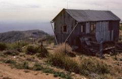 | Harquahala Peak Observatory | building | 1975 | 75000370 |
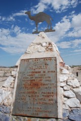 | Hi Jolly Monument | object | 2011 | 11000054 |
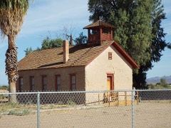 | Old Presbyterian Church | building | 1971 | 71000122 |
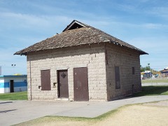 | Parker Jail | building | 1975 | 75000369 |
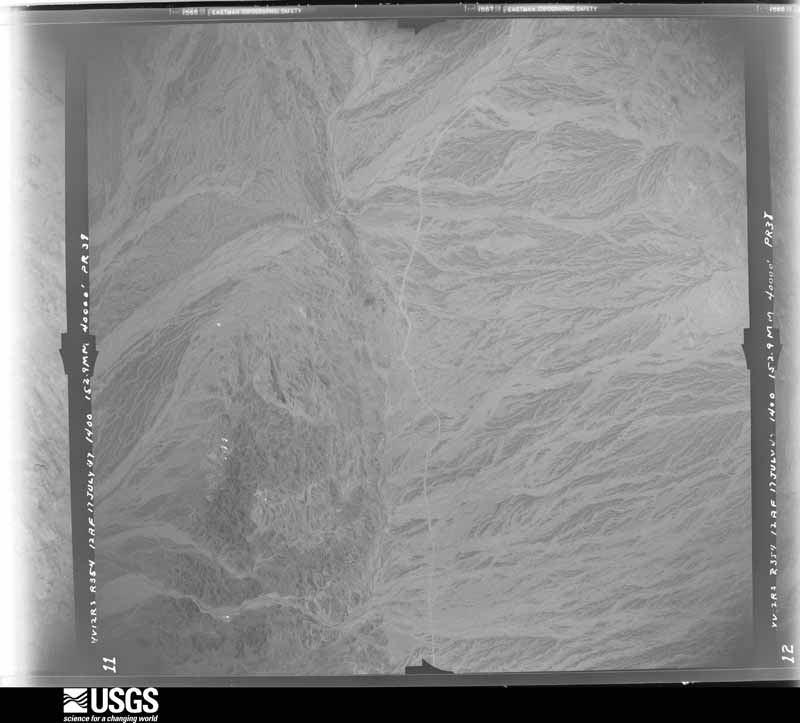
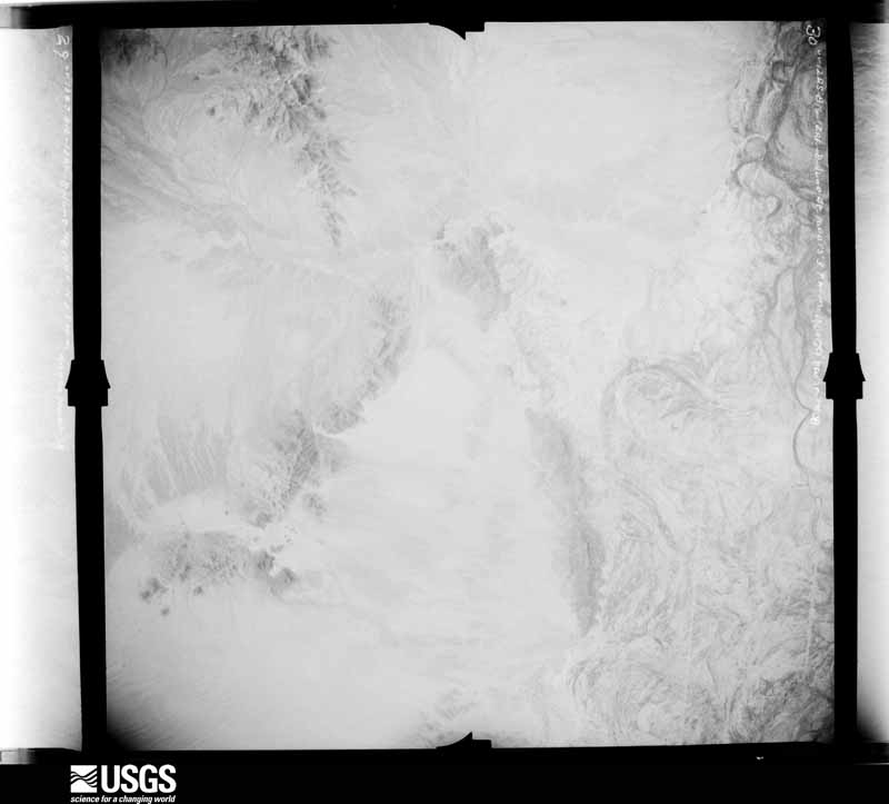
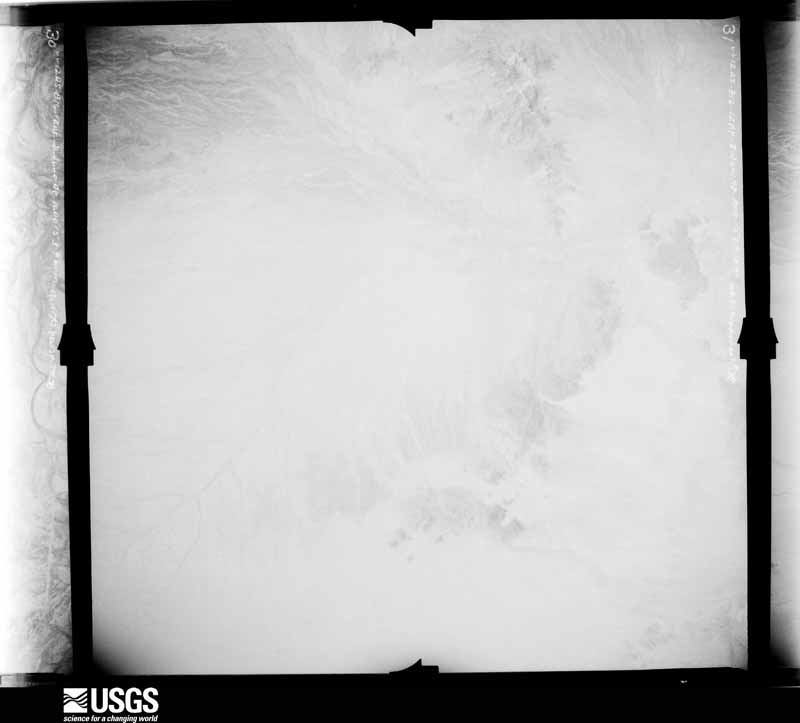
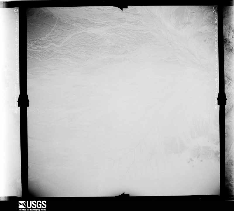
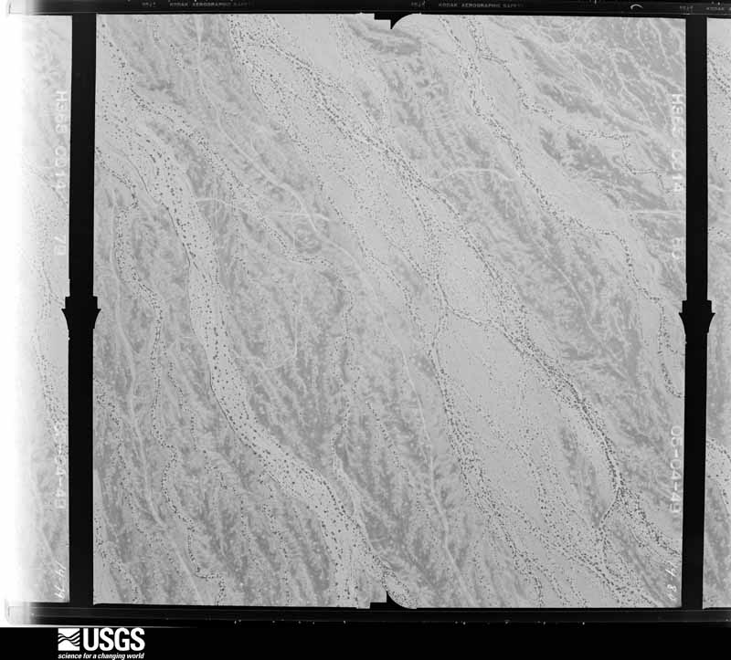
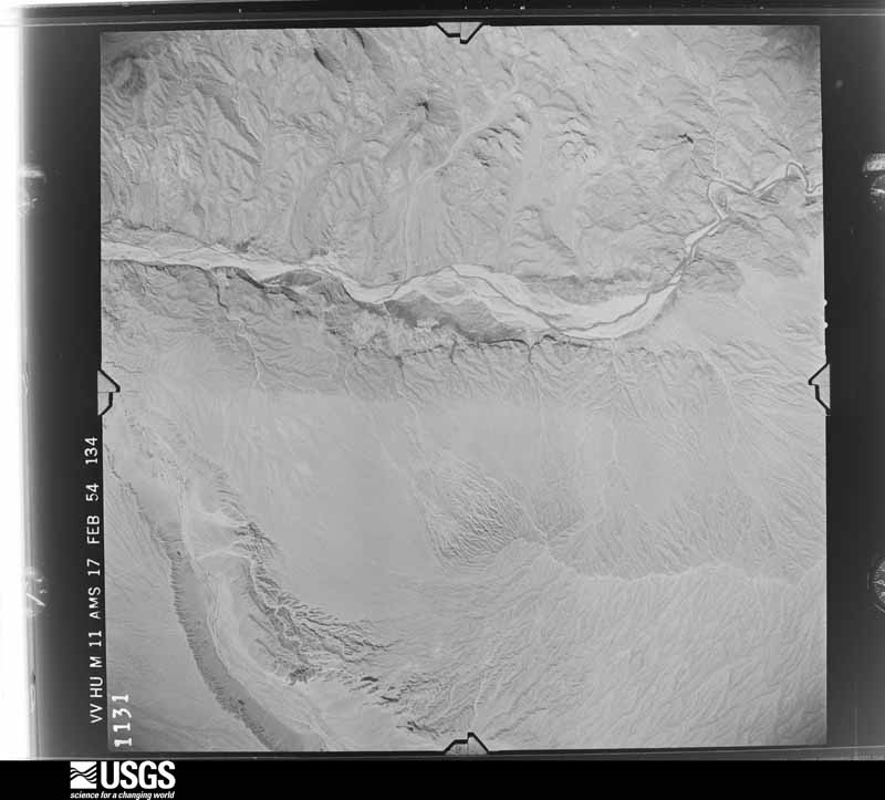
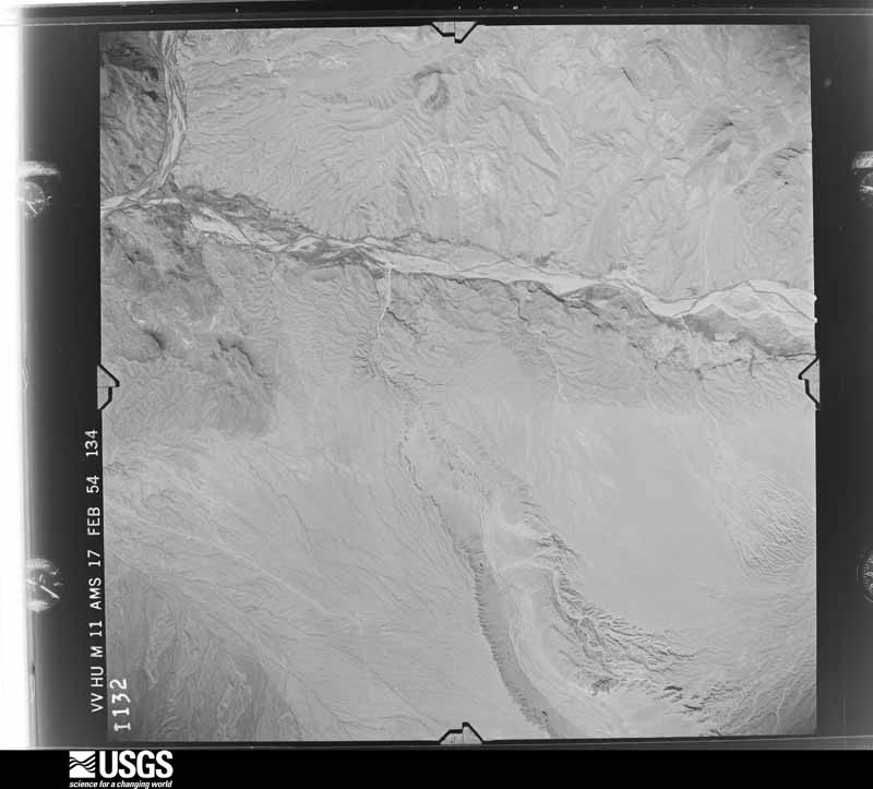
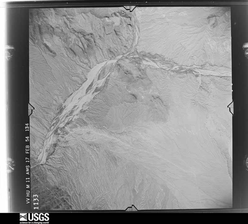
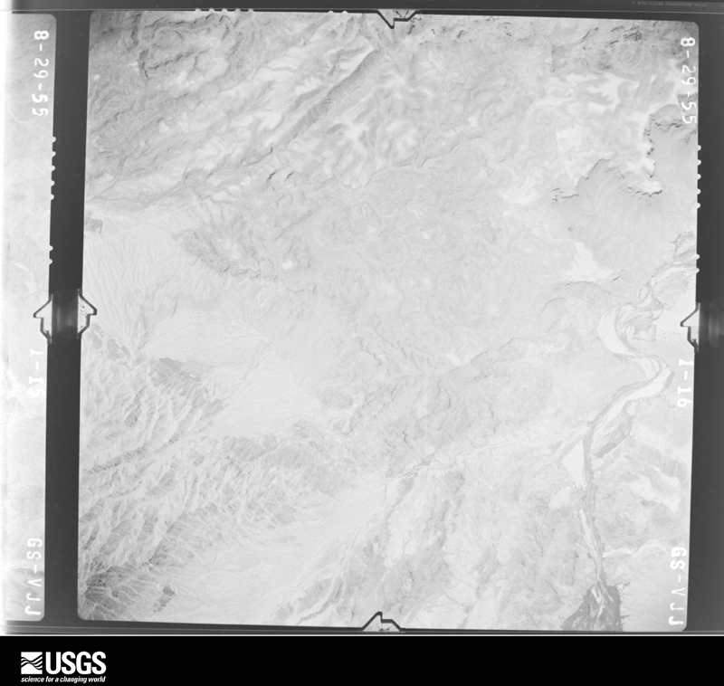
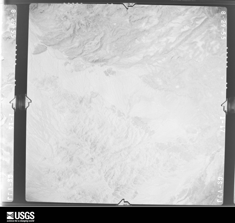
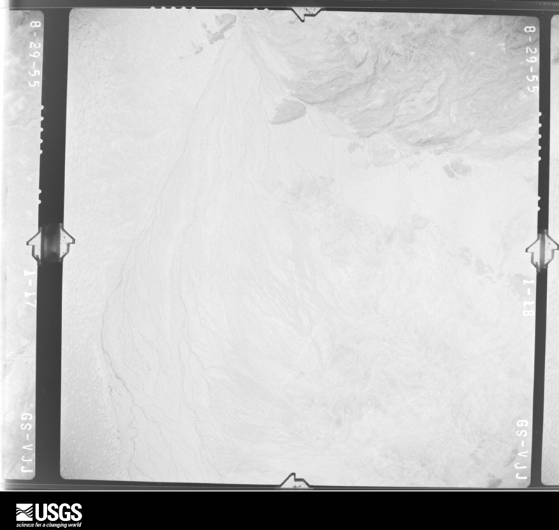
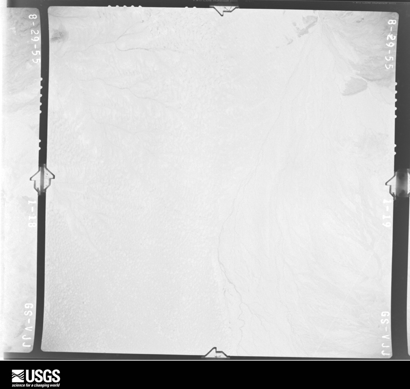
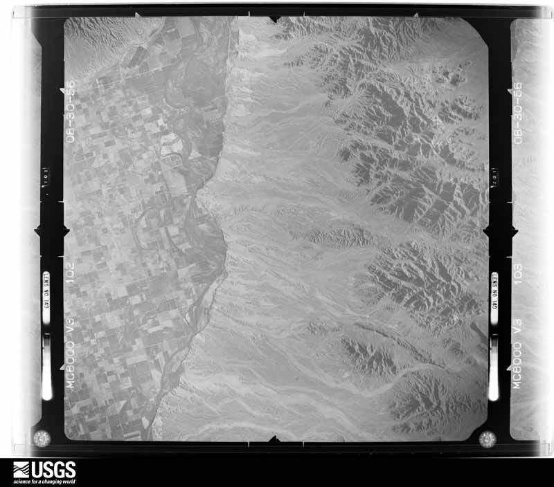
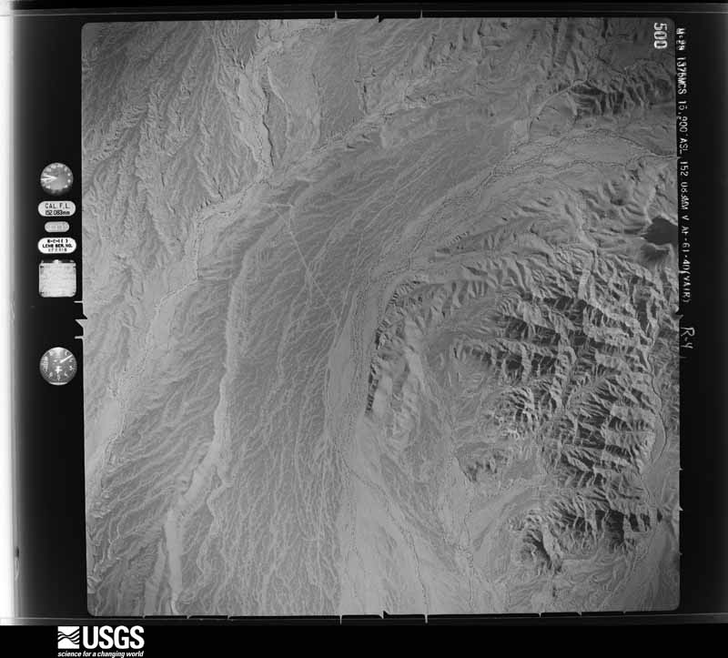
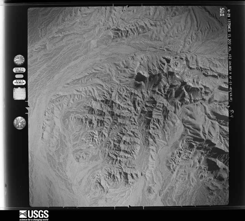
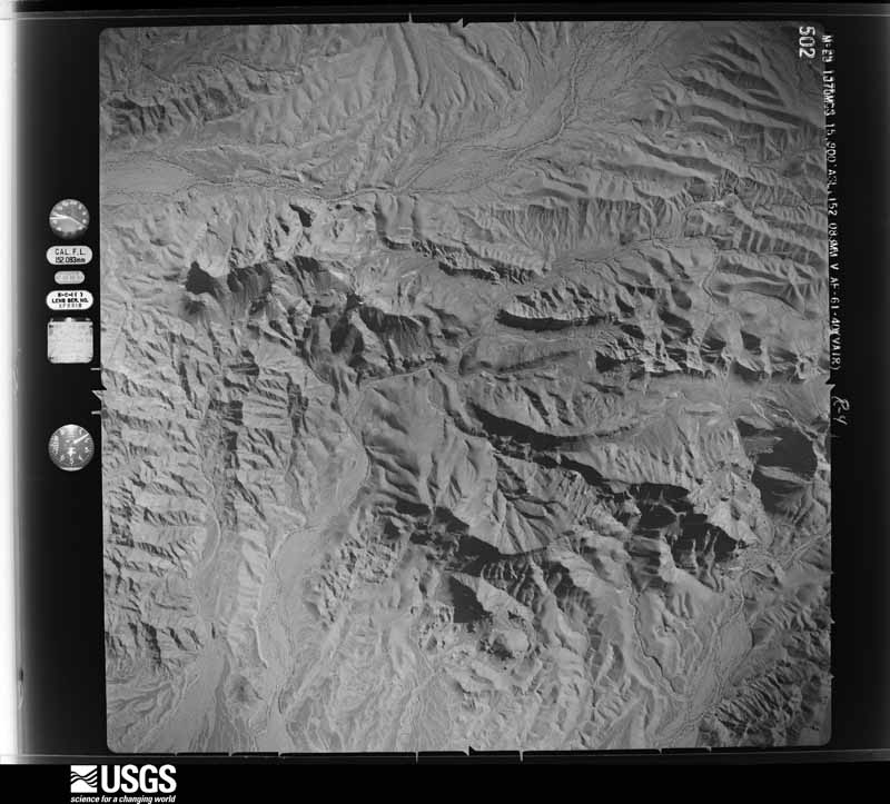
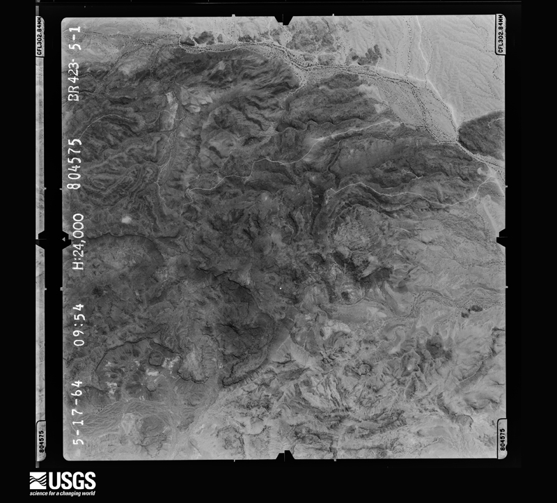
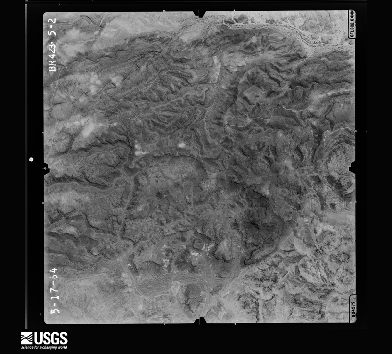
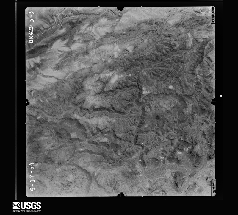
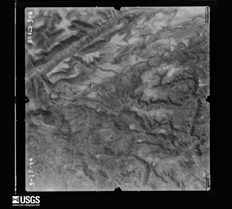
Flown by the U.S. Geological Survey between 1937 and 1989, the Aerial Photo Single Frames collection is the definitive mid-century view of the land: fields, roads and rivers as the camera saw them. The Survey holds 14,662 frames inside the rectangle that bounds this county; the 48 frames below were taken over the county itself, chosen across the decades of flights (at most four a year from that rectangle), so one flight cannot crowd out the rest. The full set is free to browse and download at EarthExplorer under the dataset Aerial Photo Single Frames.
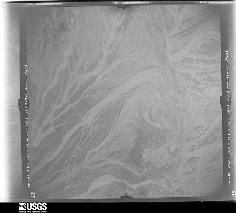
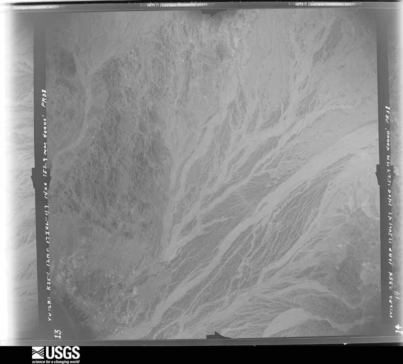
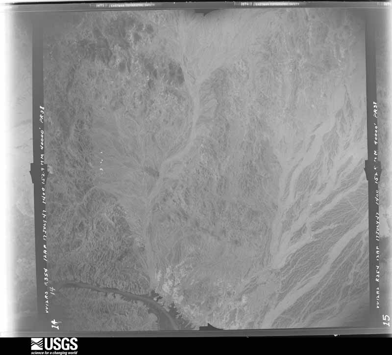
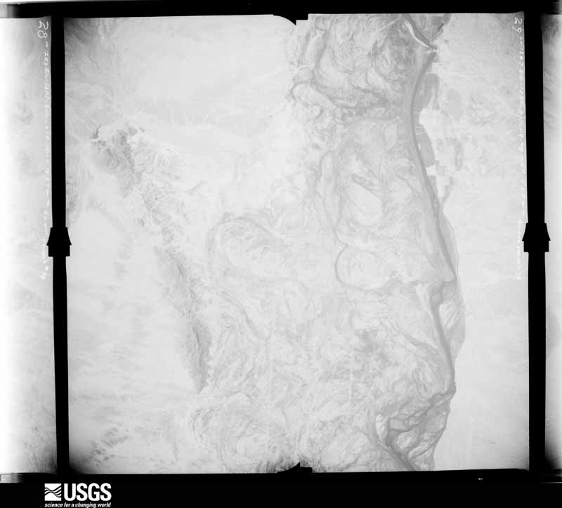
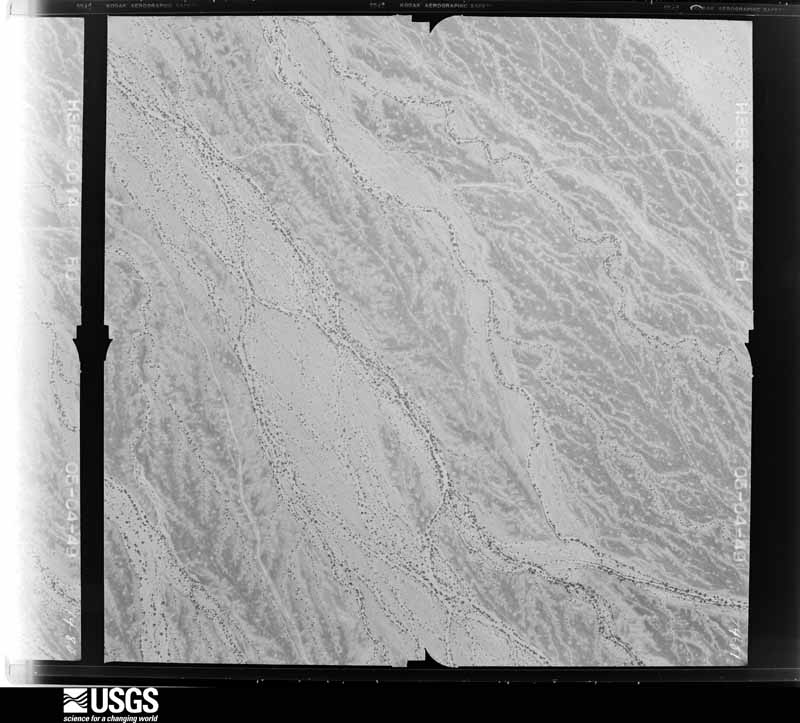
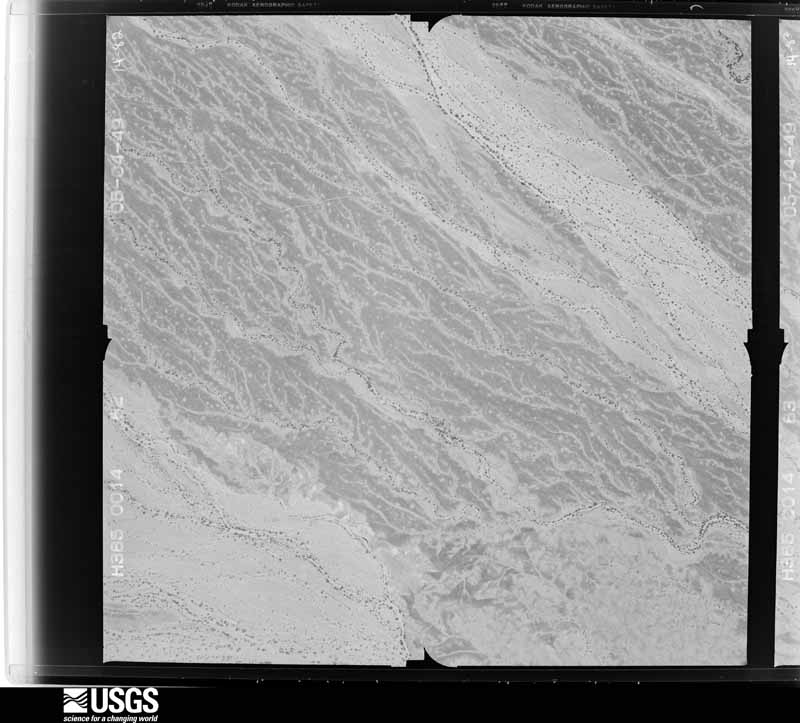
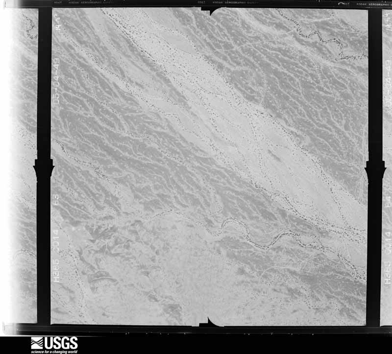
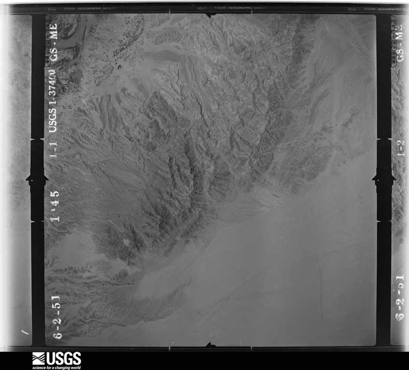
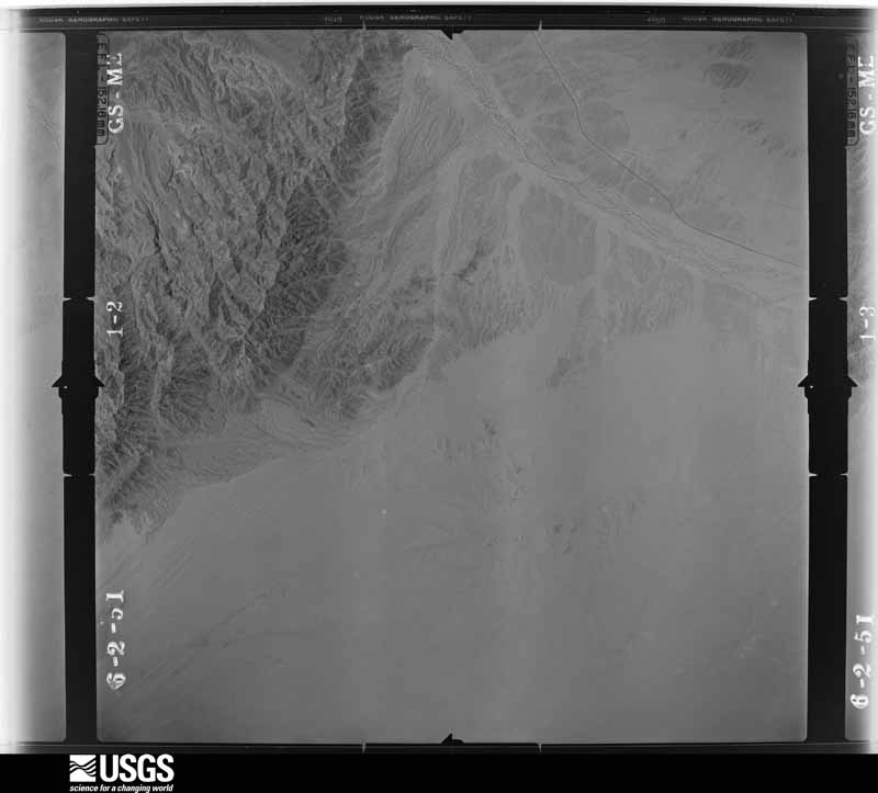
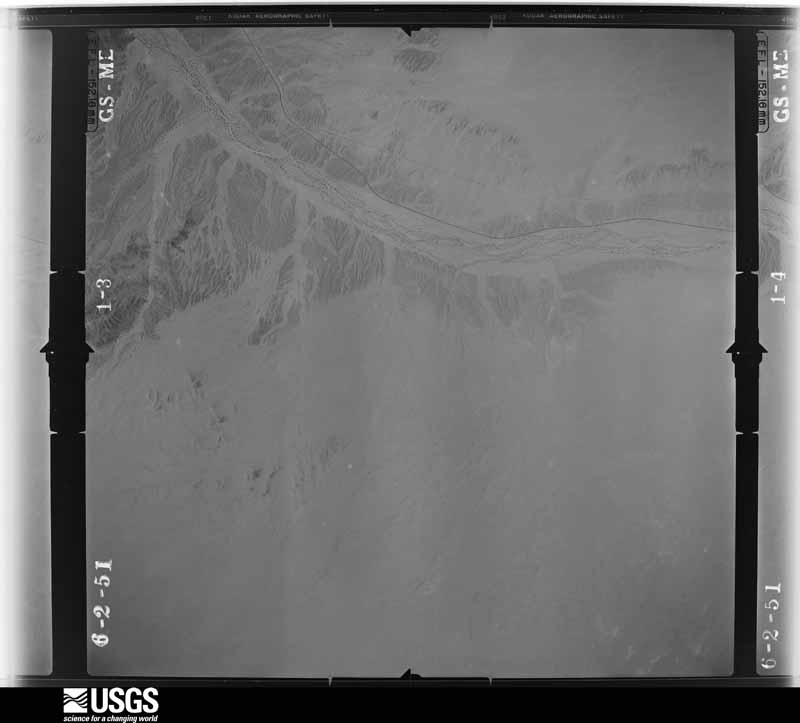
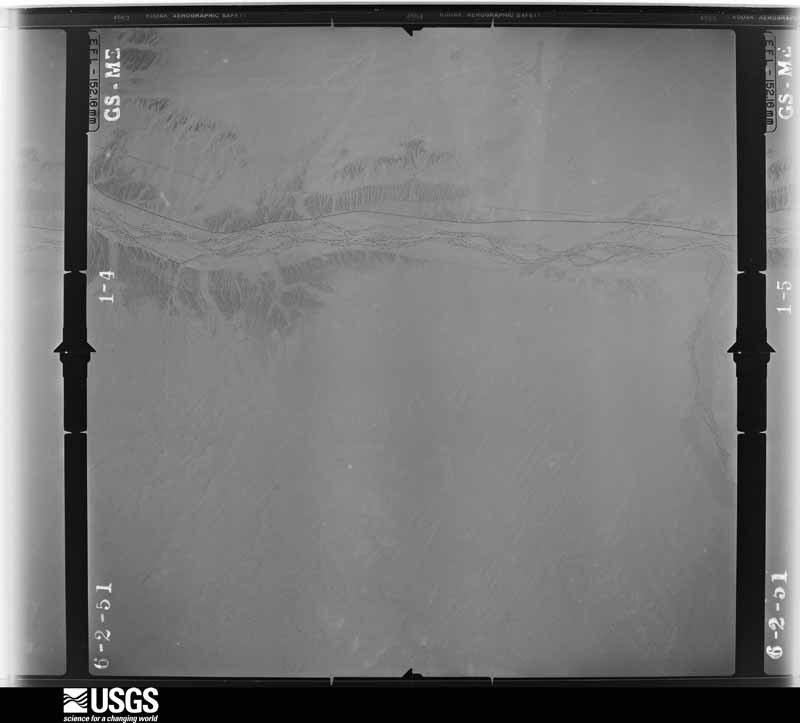
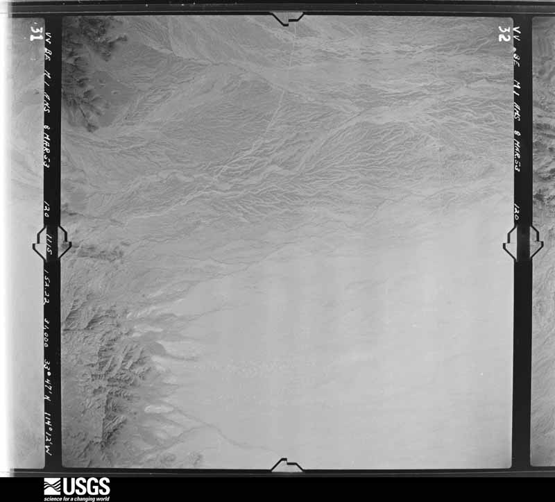
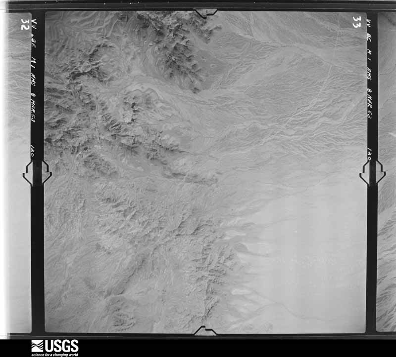
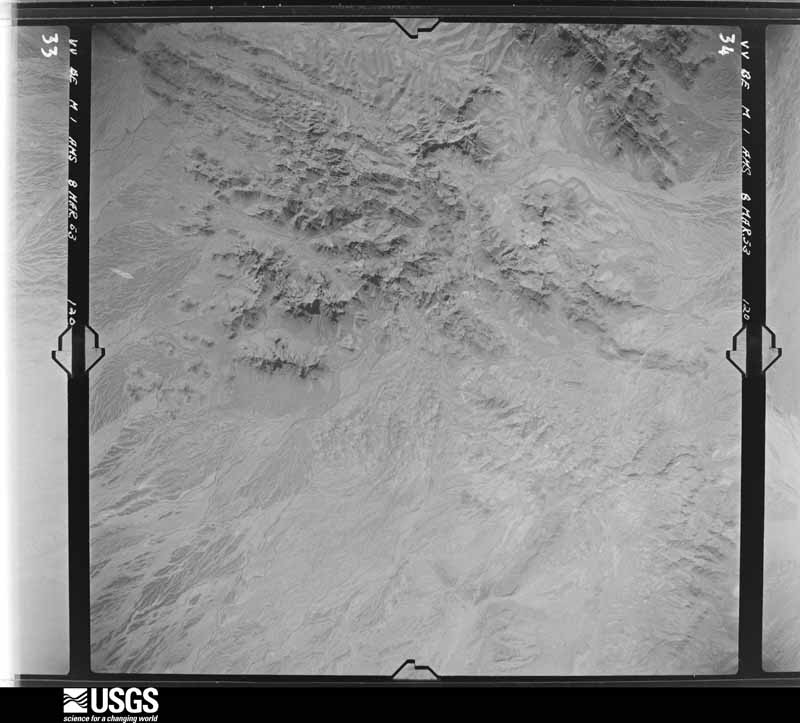
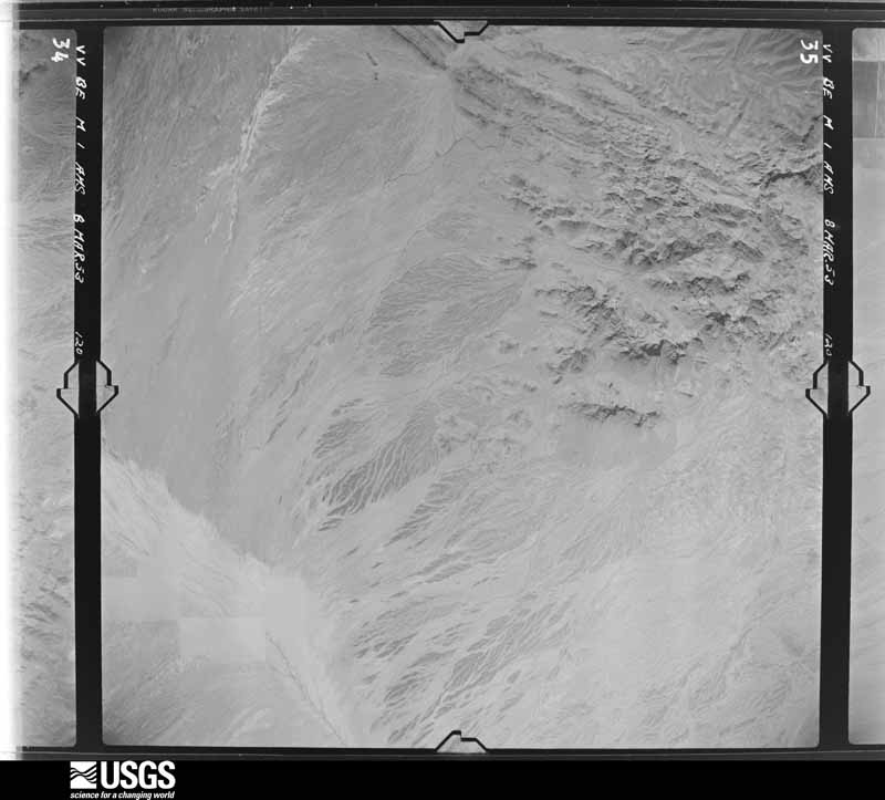
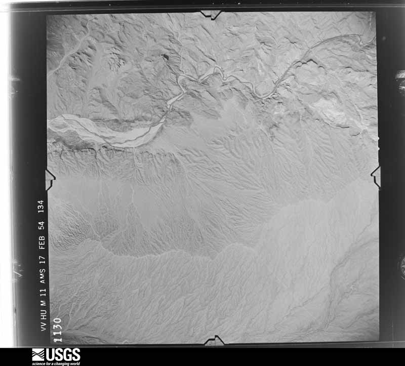
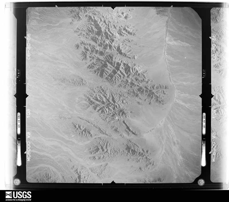
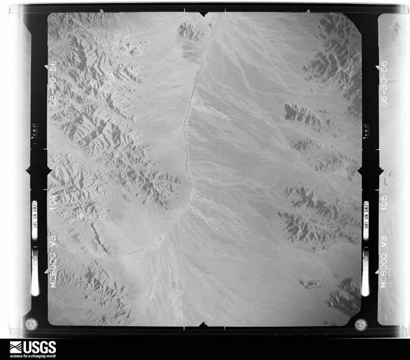
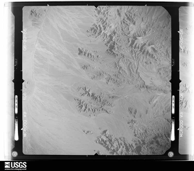
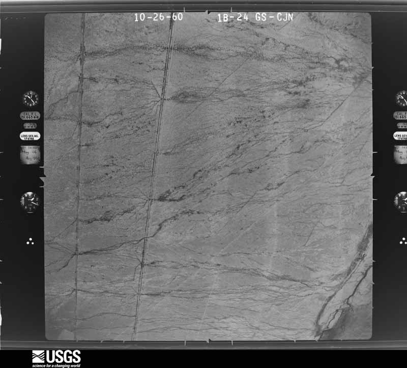
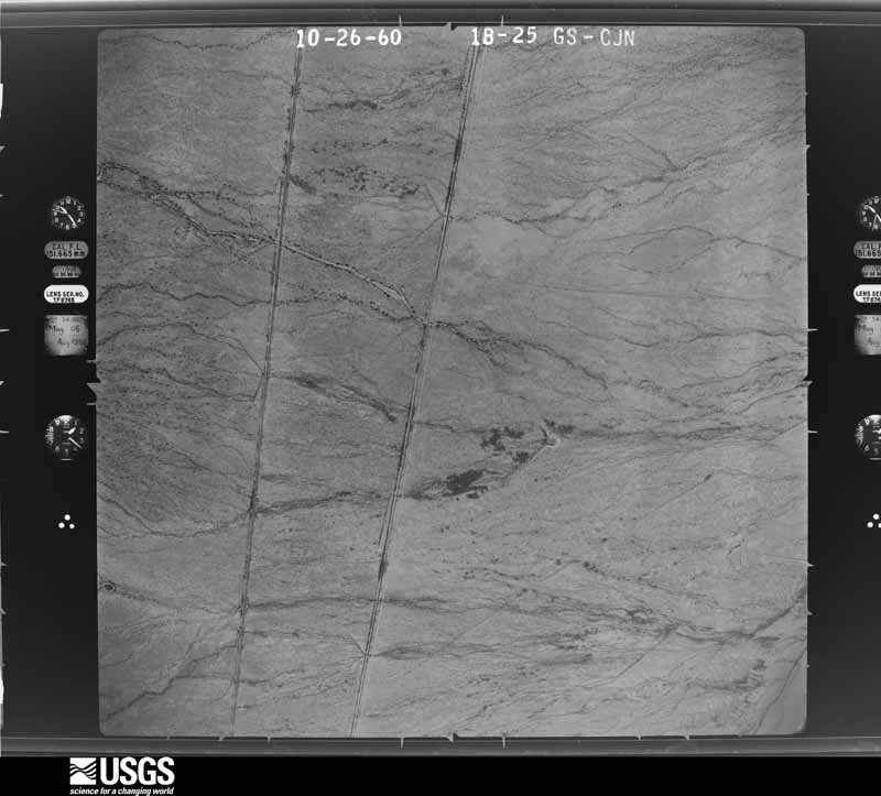
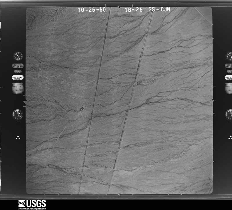
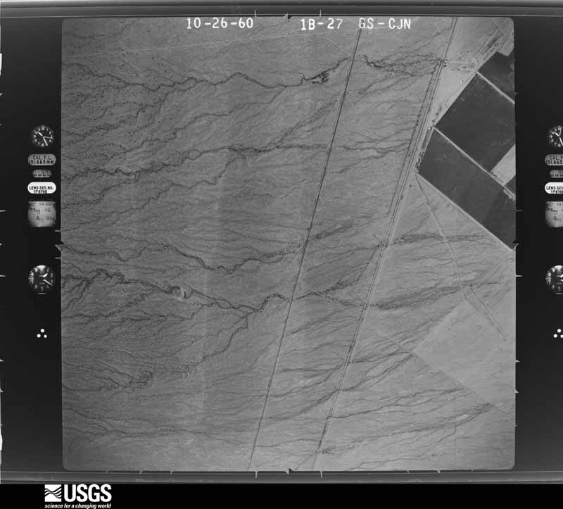
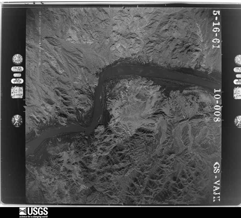
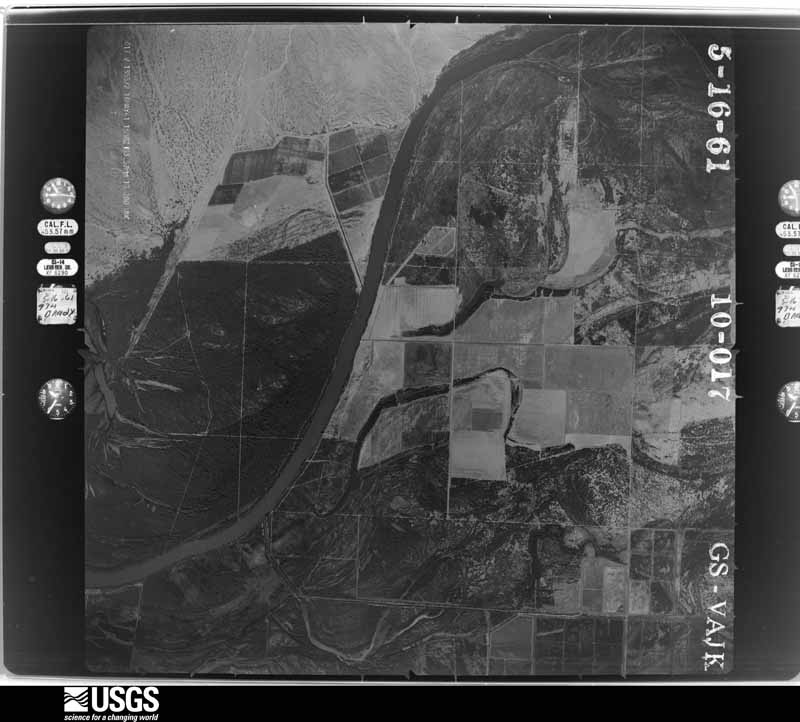
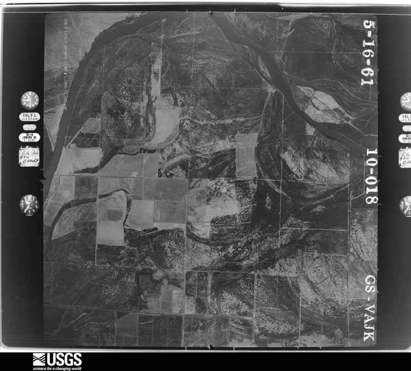
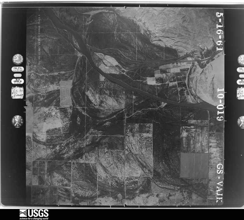
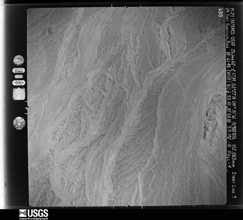
The thermometers that kept this county's weather, and the gages that measured the flow of its streams, as the federal records hold them. The extremes below are measured values from those records, not estimates.
Every wildfire the federal occurrence database records inside this county: 1,001 of them, burning about 46,195 acres. 61 started naturally and 35 were recorded as arson. Each settlement page carries the fires within five miles of it.
| Reported cause | Fires |
|---|---|
| Missing data/not specified/undetermined | 566 |
| Debris and open burning | 135 |
| Equipment and vehicle use | 73 |
| Natural | 61 |
| Misuse of fire by a minor | 55 |
| Recreation and ceremony | 42 |
| Arson/incendiarism | 35 |
| Smoking | 18 |
| Fireworks | 9 |
| Railroad operations and maintenance | 4 |
| Power generation/transmission/distribution | 2 |
| Other causes | 1 |
The five largest, by the area the report gives. Three of them were set deliberately.
| Date | Cause | Size | Reported by | Name on the report |
|---|---|---|---|---|
| 27 May 1999 | Natural | 15,980 acres | Colorado River District | HARCUVAR |
| 16 July 2006 | Natural | 4,600 acres | Cibola National Wildlife Refuge | CIBOLA |
| 7 April 2005 | Recreation and ceremony | 4,421 acres | Colorado River Agency | BOSQUE |
| 19 May 2013 | Missing data/not specified/undetermined | 3,200 acres | Imperial National Wildlife Refuge | ISLAND LAKE |
| 23 June 1995 | Arson/incendiarism | 2,360 acres | Colorado River Agency | LOST LAKE |
| 2 July 1995 | Arson/incendiarism | 1,000 acres | Colorado River Agency | POSTON |
| 14 July 2018 | Arson/incendiarism | 924 acres | Colorado River District | MOHAVE |
| 26 June 2004 | Missing data/not specified/undetermined | 800 acres | Colorado River Agency | WELCH |
Every settlement page carries the fires within five miles of it - see the settlement index below.
The NOAA Storm Events Database holds 252 reports for this county, causing 2 deaths, 5 injuries and about $14,722,000 in recorded property damage. Each settlement page carries the reports that name it.
| Kind of event | Reports |
|---|---|
| Flash Flood | 125 |
| Thunderstorm Wind | 95 |
| Heavy Rain | 10 |
| Hail | 9 |
| Flood | 8 |
| Funnel Cloud | 2 |
| Lightning | 2 |
| Tornado | 1 |
The most serious of them, by death, then injury, then recorded damage. The accounts are quoted exactly as the forecast office filed them.
| When | Event | Place named | Harm | What the report says |
|---|---|---|---|---|
| October 2000 | Flash Flood | Wenden | 1 killed, $6,200,000 | In the early morning hours of Sunday October 22, a large low pressure area dumped four to six inches of rain over parts of eastern LaPaz and western Maricopa County. This caused flash flooding in the upper part of the Centennial Wash between the Harcuvar and Harquahala mountain ranges. The heavy runoff flowed into the town of Wenden where water ran over the highway 60 bridge. At its peak the wash was about 3/8ths of a mile wide and 12 feet deep. The resulting high water surged through the town of Wenden with at least 400 residents evacuated. There was extensive damage to the town and for many miles downstream. The reported flow was in excess of 20,000 cfs. When the flood hit Wenden, it inundated some mobile homes, causing them to lift off their foundations and float down the wash. An estimated 125 mobile homes were affected. One migrant worker was killed when flood waters swept through the town during the early morning hours. Additional heavy rainfall hit this area several days later and complicated relief efforts for many of the homeless. |
| August 2008 | Flash Flood | Bouse | 1 killed, $50,000 | A vehicle with 5 women was swept away as it was caught in raging flood waters along route 72, about a mile and a half southeast of Bouse. One woman died and her body was found about 7 miles away. An RV was also stranded by flood waters in the same wash at the same time. |
| July 2023 | Thunderstorm Wind | Vicksburg | 5 hurt, $100,000 | Approximately 9 tractor trailer rigs were blown over along I-10 near Vicksburg Rd in Vicksburg Junction. This occurred at two to three locations from milepost 41 to milepost 47 with both directions of traffic affected - especially westbound. Time estimated from first 911 call and radar. Wind gusts were estimated at 60 mph. According to a local news report, five people were hurt with two of them sustaining serious injuries. |
| January 2010 | Flood | Harcuvar | $5,000,000 | Flood waters mainly from the Centennial Wash moved through Wenden in the early morning hours. Law enforcement began evacuating people before waters closed the local streets and roads. About 200 people took shelter at a local high school. Flood waters up to 6 feet deep took out power poles, telephone poles, trees, damaged roads and homes. The entire town of Wenden was underwater for several days. Power was restored in most areas within 2 weeks. Generally, about 3 to 5 inches of rain fell in the watershed area during the week of January 18-22. |
| August 2022 | Flash Flood | Bouse | $500,000 | Report from La Paz County Emergency Management of water rushing into houses. Washes in the area were running full. Timing estimated from radar. No injuries were reported. |
| September 2013 | Flood | Harcuvar | $200,000 | Thunderstorms with locally heavy rain decreased across eastern La Paz county during the afternoon hours on September 10th. However, due to the heavy rains that had occurred over the past couple of days, there was still significant flow in the Centennial Wash running though Wenden, affecting communities such as Salome. Local law enforcement indicated that many roads in Wenden were closed due to flow in Centennial Wash, and the stream gage in the wash reported 4 feet of elevation at 1345MST. Given the continued runoff the water level had the potential to rise even further into the afternoon thus increasing the likelihood of additional roads and low lying areas over eastern La Paz county to become inundated. An Areal Flood Warning was issued for east central La Paz county, including Wenden, from 1400MST until 2145MST. |
| September 2003 | Thunderstorm Wind | Quartzsite | $200,000 | Extensive damage in town due to microburst winds. Power poles were knocked down and trailers were overturned. The Desert Gardens Mobile Home and Car Sales sustained the heaviest damage with several mobile homes destroyed.. Signs along I-10 were blown down, and Arizona highway 95 was closed for a short time. |
| July 2011 | Thunderstorm Wind | Quartzsite | $125,000 | Isolated high based thunderstorms developed across La Paz county during the evening hours on July 10th. The storms produced wind gusts estimated to be in excess of 50 knots. Video footage taken by an amateur photographer showed several power poles being snapped by high winds along highway 95 north of Quartzsite. Video footage indicated that the poles were snapped between mileposts 112 and 113 on highway 95. Additional public reports indicated a total of 17 power poles were blown over or snapped by high winds. |
| September 2019 | Thunderstorm Wind | Poston | $100,000 | Isolated to scattered monsoon thunderstorms developed across the far northwest portion of La Paz County during the evening hours on September 1st. The stronger storms generated gusty damaging outflow winds well in excess of 50 mph, as supported by a 53 mph wind gust from a RAWS weather station in Parker. At 2149MST, a member of the public reported that at least 20 power poles were downed on Mohave Road between Burns Road and Poston Road. The downed poles were located southwest of Parker and about 4 miles north of the town of Poston. Wind gusts were estimated to be as high as 65 mph. No injuries were reported due to the very strong winds. |
| July 2014 | Thunderstorm Wind | Quartzsite | $100,000 | A line of intense thunderstorms developed across central La Paz county during the middle of the afternoon on July 8th and they moved slowly towards the west, affecting the community of Quartzsite. The storms produced damaging microburst winds, estimated to be in excess of 70 mph. The storms prompted the issuance of s Severe Thunderstorm Warning for the Quartzsite area, which was in effect from 1605MST until 1745MST. According to the Quartzsite Fire and Rescue, the storms heavily damaged a number of RV properties in La Paz Valley as well as areas approximately 6 miles to the south of Quartzsite. A number of thunderstorm damage photos were posted to the Quartzsite Fire Twitter feed during the late afternoon hours. |
| July 2011 | Thunderstorm Wind | Bouse | $100,000 | Isolated high based thunderstorms developed over La Paz county during the late afternoon and evening hours on July 10th. The storms generated gusty microburst winds, estimated to be in excess of 60 knots. According to Cate's Column in the Parker Live Online paper, significant damage occurred in the community of Bouse. Strong winds lifted the roof off of a house and tossed it down a hill. The winds smashed windows, blew out metal garage doors, plucked coolers from rooftops, flattened several carports, and uprooted a number of Mesquite and Palo Verde trees. |
| January 2010 | Thunderstorm Wind | Poston | $100,000 | Numerous power poles blown down due to thunderstorm winds and heavy rain. |
| September 2008 | Thunderstorm Wind | Quartzsite Arpt | $100,000 | Quartzsite Fire Department reported an estimated gust of 75 mph that blew two tractor trailer trucks off the road. |
| August 2006 | Thunderstorm Wind | Salome | $100,000 | Mobile home blown over. |
| August 2005 | Flash Flood | Wenden | $100,000 | Roads damaged by heavy rains. |
| July 2014 | Thunderstorm Wind | Parker | $80,000 | Intense thunderstorms developed across portions of northwest La Paz county during the late afternoon hours on July 8th, and they affected the town of Parker. The strong storms produced damaging microburst outflow winds estimated to be in excess of 80 mph. According to local law enforcement, 4 mobile homes were overturned in Parker. In addition, the gusty winds blew down power poles and caused roof damage to local residences. Fortunately, no injuries were reported. |
| August 2022 | Flash Flood | Wenden | $75,000 | Flow in Centennial Wash caused a low water crossing along Centennial Park Road to become impassable. An RV attempted to cross the flooded roadway but was swept off the road. Images also showed damage to the roadway from the flooding. No injuries were reported. |
| July 2012 | Thunderstorm Wind | Parker | $75,000 | Intense thunderstorms developed across La Paz county during the late morning and early afternoon hours on July 31st. In addition to producing heavy rain, a few of the storms generated strong and damaging wet microburst winds, estimated to be at least 50 knots. Local law enforcement reported that power lines were down along Arizona highway 95 both north and south of Parker. The Parker airport experienced a peak wind gust to 56 mph with the storms, and according to APS, 7 power poles were downed in the Parker area. |
| August 2021 | Thunderstorm Wind | Harcuvar | $70,000 | Five metal transmission towers were knocked over in severe straight line winds. Winds were estimated around 70 to 80 mph based on the damage. Timing estimated from radar. No injuries were reported. |
| August 2024 | Thunderstorm Wind | Quartzsite Arpt | $50,000 | Many reports of significant wind damage in Quartzsite due to a severe thunderstorm downburst. The bulk of the wind damage occurred along the area of SR-95 to Riggles Ave and Senter Street to Sunset Street, including damaged or destroyed sheds and sheet metal car ports, roof damage, flipped and destroyed RVs, several downed or snapped trees, and at least one downed power pole. Wind gusts were estimated upwards of 60-70 mph. |
| August 2022 | Flash Flood | Wenden | $50,000 | Images showed parts of Alamo Road washed out due to high flow over low water crossings. Timing and exact location estimated from radar. No injuries were reported. |
| August 2022 | Thunderstorm Wind | Quartzsite Arpt | $50,000 | Several reports of thunderstorm damage across Quartzsite. The damages reported included several trailers/RVs flipped, signs blown around, trees blown over, heavy grills thrown 50 feet, storage sheds destroyed, leaning power poles. Timing estimated from radar. A wind gust of 65 mph was measured from a amateur radio user. No injuries were reported. |
| August 2017 | Thunderstorm Wind | Quartzsite | $50,000 | Thunderstorms developed across the southern portion of La Paz County during the afternoon hours on August 3rd and one of the stronger storms affected areas around the town of Quartzsite. A storm located about 6 miles south of Quartzsite produced gusty damaging outflow winds estimated to be as high as 70 mph. According to local law enforcement, at 1500MST, strong microburst winds damaged several sheds, a trailer and an off-road vehicle in Laz Paz Valley, just west of Highway 95. The trailer was completely blown over. The damage was confirmed by La Paz County Sheriff's Dispatch as well as a witness. No injuries were reported due to the strong winds. |
| December 2009 | Thunderstorm Wind | Quartzsite Arpt | $50,000 | Two tractor trailers were blown off Interstate 10 near Quartzsite. |
| August 2021 | Thunderstorm Wind | Brenda | $45,000 | The Arizona Department of Transportation along with chasers in the area reported that multiple semi trucks had been blown over on I-10 westbound east of Quartzsite near mile post 41, resulting in the closure of the interstate. No injuries were reported. |
| November 2019 | Flash Flood | Vicksburg | $40,000 | Widespread rain, moderate to heavy at times, developed across portions of La Paz County during the evening hours on November 28th; the heavy rain led to some flash flooding across central portions of the county which persisted into the early morning hours of the 29th. According to local law enforcement, at 2324MST flash flooding resulted in two vehicles becoming stuck in a wash along Vicksburg Road, about 2 miles to the southwest of Vicksburg. The cars were stranded with water up to the bottom of the car door windows. There were no reports of injuries as a result of the flooding however. |
| August 2015 | Thunderstorm Wind | Quartzsite Arpt | $40,000 | Thunderstorms developed across central La Paz county during the early afternoon hours on August 6th; the stronger storms produced gusty and damaging microburst winds estimated to be as high as 70 mph. The storms affected motorists on Interstate 10 driving near the town of Quartzsite. According to local Fire and Rescue, gusty winds blew over 3 semi tractor-trailer trucks on Interstate 10 between mileposts 20 and 23. Fire and Rescue did not report any injuries in association with the overturned trucks. |
| September 2008 | Thunderstorm Wind | Quartzsite | $40,000 | A late evening thunderstorm swept through Quartzsite and Vicksburg and left 15 downed 69-kv poles in its wake, as well as isolated damage to the distribution system across the Quartzsite, Vicksburg and Bouse areas. |
| August 2021 | Thunderstorm Wind | Lakeside | $30,000 | La Paz County Sherriff's Office reported the roof (possibly a car port and roof combination based on street view) of a mobile home was torn off in strong winds and some shingles were in nearby powerlines. Timing estimated from radar and winds estimated from damage report. No injuries were reported. |
| August 2020 | Thunderstorm Wind | Vicksburg | $30,000 | Isolated thunderstorms developed across portions of La Paz County during the early evening hours on August 30th; some of the storms generated gusty and damaging outflow winds. According to a local emergency manager, at 1945MST wind gusts estimated to be as high as 60 mph downed multiple power poles about 2 miles to the southwest of the town of Vicksburg. There were no injuries reported. |
| September 2019 | Thunderstorm Wind | Parker | $30,000 | Isolated to scattered monsoon thunderstorms developed during the evening hours in the Parker area on September 1st and some of the stronger storms produced gusty and damaging outflow winds. According to a local newspaper report, at 2150MST gusty winds estimated to be as high as 70 mph caused severe roof damage to a standalone business located near the intersection of Kofa Avenue and 4th Street, about 2 miles northwest of Parker. Additionally the paper reported that the strong winds stripped a carport awning off of a mobile home and blew the awning across some power lines. No injuries were reported as a result of the damage. |
| November 2019 | Flash Flood | Salome | $30,000 | A powerful Pacific low pressure system developing over the desert southwest interacted with deep moisture to produce widespread rain across the central and east portions of La Paz County during the early morning hours on November 29th. Isolated thunderstorms were embedded within the areas of rain, locally enhancing rain totals. The heavy rain led to some flash flooding that impacted areas around the community of Salome. According to the La Paz County Sheriff's Office, flash flooding caused the road to be washed away at Avenue B in Salome. Estimated time of the flooding was about 0120MST; the time of the impact was based on data from a Maricopa County Flood Control gage that crested at 3.86 feet at 0158MST. Flooding was estimated based on when the action stage was reached at which point there was potential for channel breakouts to begin along Centennial Wash. |
| August 2014 | Thunderstorm Wind | Poston | $30,000 | Scattered strong thunderstorms developed across portions of La Paz county during the afternoon hours on August 3rd, and they moved quickly to the north at speeds greater than 25 mph. The storms produced gusty and damaging outflow winds estimated to be in excess of 60 mph. At 1607MST, a Significant Weather Advisory was issued for northern La Paz county, due to strong thunderstorms with outflow winds expected to be greater than 50 mph. The advisory was in effect through 1700MST. According to local law enforcement, at 1653MST a number of power poles were blown down near highway 95, about 20 miles to the south of Parker. |
| August 2012 | Thunderstorm Wind | Wall | $30,000 | Isolated to scattered thunderstorms developed across portions of La Paz county during the afternoon hours on August 29th. The stronger storms were able to generate strong and gusty microburst winds. According to local law enforcement, at 430 pm gusty outflow winds estimated to be in excess of 50 knots blew down several power poles between mileposts 127 and 129 on U.S. Highway 95, approximately 13 miles southeast of Poston. |
| September 2009 | Flash Flood | Quartzsite Arpt | $30,000 | Washes were running around Quartzsite with street flooding in town. Route 95 south of town was closed due to the flooding. A car rolled over in the flooded area. |
| September 2019 | Flash Flood | Vicksburg | $25,000 | Scattered monsoon thunderstorms developed across the central portions of La Paz county during the late evening hours on September 1st. Some of the stronger storms generated intense rainfall with peak rain rates in excess of one inch per hour. The heavy rain resulted in some flash flooding. According to a report from the public, at 2119MST two vehicles were stuck in a wash along Vicksburg Road near the Interstate 10 exit 45. The vehicles were reported stuck by the La Paz County Sheriff's Dispatch. There was also a report of a water rescue near the town of Vicksburg due to the flash flooding. No injuries were reported. A Flash Flood Warning was issued shortly before the report of the stranded vehicles; the warning was issued at 2109MST. |
| August 2017 | Thunderstorm Wind | Brenda | $25,000 | Strong thunderstorms developed across portions of La Paz County during the afternoon hours on August 10th and some affected the Interstate 10 corridor near the town of Brenda. According to a delayed reported received from the public, at about 1400MST strong winds blew the roof off of an RV at the Gateway Ranch RV Resort about one mile east of the town of Brenda. The report came from a renter at the resort who also reported that an awning was blown away and tangled. Multiple trees were also reported to be downed by the strong winds. The damaging wind gusts were estimated to be as high as 75 mph. No injuries were reported due to the strong winds. |
| July 2014 | Flash Flood | Quartzsite | $25,000 | Intense thunderstorms developed in the Quartzsite area during the late afternoon hours on July 8th and they produced very heavy rainfall. Radar indicated that rainfall rates were in excess of 2 inches per hour. The heavy rain led to flash flooding in Quartzsite, especially the eastern and southern parts of town. A Flash Flood Warning was in effect from 1700MST until 1930MST. Flash flooding was evident on a number of pictures posted on the Quartzsite Fire Twitter feed; area washes were running full and overflowing and vehicles were stranded in the middle of flowing washes, necessitating swift water rescues. Fortunately no injuries were reported due to the flash flooding. |
| September 2013 | Flash Flood | Wenden | $25,000 | Thunderstorms with locally heavy rainfall developed once again over portions of La Paz county during the morning hours on September 10th and as a result, flash flooding developed in the Centennial Wash. Previous heavy rains over the past day or two simply exacerbated the flow down Centennial Wash and as a result a Flash Flood Warning was issued at 1102MST for east central La Paz county including the communities of Wenden, Salome and Harcuvar. According to La Paz county Emergency Management and Sheriff's Offices, excessive storm runoff into the wash raised the water level significantly and flash flooding was occuring, threatening properties along the wash banks and leading to limited evacuations. Many roads in the Wenden area were closed as a result of flow through the wash. |
| July 2012 | Thunderstorm Wind | Quartzsite Arpt | $25,000 | Scattered thunderstorms developed across La Paz county during the early afternoon hours on July 14th. Due to the wet and unstable nature of the airmass, most of the storms produced heavy rain which led to episodes of flash flooding. A few storms managed to produce wet microbursts, leading to gusty and damaging winds. According to APS, an Arizona utility company, gusty winds downed several power poles along Highway 95 north of Quartzsite at about 2 pm. One pole was downed 5 miles to the north, and an additional two were downed 8 miles to the north. Peak wind gusts were estimated to be at least 50 knots. |
| August 2012 | Flash Flood | Quartzsite Arpt | $25,000 | Scattered thunderstorms developed across portions of La Paz county during the afternoon and evening hours on August 20th, and they affected the area around Quartzsite. Due to the very humid and unstable nature of the atmosphere, the thunderstorms generated very heavy rainfall with rainfall rates well in excess of 2 inches per hour. The heavy rain led to episodes of flash flooding, mostly across the northern portions of Quartzsite. Many of the flash flooding impacts developed around 630 pm and continued into the evening hours. According to the Quartzsite Police Department, at 630 pm the Tyson wash 5 miles north of Quartzsite was running heavily and covering state route 95. Both the Quartzsite Police Department and Arizona Department of Transportation responded and they set up road closures and restrictions along the highway. The heavy rains led to other road closures around the community of Quartzsite; other streets that were impacted included Riggles Avenue, Quail Trail Street and Plymouth. |
| July 2009 | Thunderstorm Wind | Parker | $25,000 | Alamo Lake State Park reported damage to several RV's due to winds. APS power outage lasted for about 9 hours. |
| August 2018 | Flash Flood | Empire Lndg | $20,000 | Thunderstorms with very heavy rain moved across far northwest La Paz County during the late evening hours on August 15th; the stronger storms produced intense rain that persisted into early morning hours on August 16th and resulted in an episode of flash flooding northeast of Parker. Peak rain totals in the area exceeded 3 inches, and according to La Paz Sheriff's Dispatch, at 2359MST a car became flooded along Highway 96 in front of the Buckskin Fire Department, about 7 miles to the northeast of the town of Parker. Fortunately, the occupant of the vehicle was able to walk away unharmed. A Flash Flood Warning was issued for the area at 2345MST on August 15th and it remained in effect through 0245MST on August 16th. |
| August 2018 | Flash Flood | Empire Lndg | $20,000 | Thunderstorms with locally heavy rain developed across far northwest La Paz County during the late evening hours on August 15th; the heavy rain persisted into the early morning hours on August 16th and led to some flash flooding in the area around Parker Dam and Buckskin Mountains State Park. According to local law enforcement, at 0020MST approximately 2.5 feet of water was flowing across Highway 95 at Mile Marker 158.5. This was just southeast of Parker Dam. The local sheriff's deputy on-scene made the report. At 0101MST, the Arizona Department of Highways reported debris and flooding on both sides of Highway 95 north of Buckskin Mountain State Park, or about 12 miles northeast of Parker. No injuries were reported due to the flash flooding or debris across the highway. A Flash Food Warning was in effect at the time of the flooding, and it remained in effect through 0245MST. |
| August 2017 | Thunderstorm Wind | Quartzite | $20,000 | Scattered thunderstorms developed across portions of La Paz County during the afternoon hours on August 10th and some of the stronger storms affected the Interstate 10 corridor near the town of Quartzsite. One of the stronger storms that impacted Quartzsite produced damaging microburst winds estimated to be as high as 70 mph. According to a report from the public, at 1520MST strong winds downed power lines along Main Street in Quartzsite. In addition, the winds shredded off a sheet metal roof from the building across the street from McDonald's and pieces of the roof became caught up in the remaining power lines that were left standing. This report was made via the use of social media and including at least one picture of the damage. A Severe Thunderstorm Warning was in effect at the time of the damage; it was issued at 1456MST and was in effect through 1530MST. |
| August 2013 | Flash Flood | Brenda | $20,000 | Copious amounts of tropical moisture continued to flow into southern Arizona on August 24th, and this led to a very moist and unstable airmass. Scattered thunderstorms developed across much of La Paz county during the middle of the morning and they produced very heavy rain with rain rates in excess of 2 inches at times. The heavy rain affected both Highway 60 and Interstate 10 east of Brenda, and led to flash flooding which continued into the early afternoon hours. Small stream flood advisories were issued for portions of northeast and central La Paz counties starting at 0630MST, and they were upgraded to Flash Flood Warnings at 0933MST. Flash Flood Warnings for central La Paz county continued until about 1345MST. According to reports from the public, at 1100MST water was flowing across Avenue 42E and numerous washes east of Brenda were running heavily. |
| August 2012 | Flash Flood | Vicksburg | $20,000 | Scattered thunderstorms developed across central La Paz county during the evening hours on August 21st, and they affected the area between Bouse and Vicksburg, including highway 72. Due to the very humid and unstable nature of the atmosphere, the storms were able to produce very heavy rain with rainfall rates well in excess of 2 inches per hour. According to local newspaper reports, at 540 pm washes were running along highway 72 southeast of Bouse, and debris had been washed across the highway. Some of the most significant flooding occurred along highway 72 between mileposts 37 and 40. The flooding prompted the issuance of a Flash Flood Warning for central La Paz County from 537 pm until 7 pm. Fortunately, no injuries were reported due to the flash flooding. |
| July 2008 | Thunderstorm Wind | Brenda | $20,000 | An accident on I-10 at milepost 45 was blamed on high winds and low visibility. |
| July 2005 | Thunderstorm Wind | Parker | $20,000 | Tree limbs down and buildings damaged. |
| August 2005 | Thunderstorm Wind | Bouse | $20,000 | Carport awning damaged. |
| September 2023 | Flash Flood | Bouse | $15,000 | A swift water rescue occurred after a single occupied vehicle attempted to drive through a flooded Bouse Wash low water crossing along Rabbit Lane near Stage Coach Road. No injuries were reported. |
| July 2021 | Flash Flood | Cibola | $15,000 | A video on social media showed a tractor trailer attempting to cross a flooded part of Highway 95 at MP 61. As the tractor trailer drove through the flowing flood waters, it quickly tipped over onto its side. According to the Arizona Department of Transportation, Highway 95 ended up closing due to the flooding. No injuries were reported. |
| July 2015 | Thunderstorm Wind | Salome | $15,000 | Isolated strong thunderstorms developed across La Paz county during the afternoon hours on July 5th, and some of them produced strong, damaging microburst winds which affected the town of Salome. According to a trained weather spotter located 1 mile northeast of Salome, wind gusts estimated to be at least 70 mph bent steel support poles for a gas station island roof. In addition, the winds blew out several windows at a nearby Stanford Inn restaurant. Fortunately, no injuries were reported due to the strong winds. |
| August 2010 | Thunderstorm Wind | Wenden | $15,000 | A park ranger at the Alamo Lake State Park reported downburst winds of at least 60 mph. The strong winds resulted in many tree limbs downed. |
| July 2009 | Lightning | Bouse | $12,000 | Lightning took out the power to a large portion of LaPaz County this afternoon. |
| October 2022 | Flash Flood | Ehrenburg | $10,000 | Video from a storm chaser showed flash flooding washing away Mohave Road. The location of the flooding was about 6-7 miles north of I-10, just northeast of Blythe, CA. Timing estimated from radar. No injuries were reported. |
| September 2022 | Flash Flood | Wenden | $10,000 | Photos from the La Paz County Public Works showed parts of Alamo Road washed out due to extensive flooding from overflowing washes that intersect the road. Timing estimated from radar. No injuries were reported. |
| August 2021 | Thunderstorm Wind | Parker | $10,000 | Multiple trees were down around Parker including a palm tree that fell into the street along the 900 block of California Avenue/State Route 95. Timing estimated from radar and wind estimated from damage report. No injuries were reported. |
| July 2018 | Thunderstorm Wind | Lakeside | $10,000 | Strong thunderstorms developed over far northwest portions of La Paz county and near the town of Parker during very early morning hours on July 18th. The storms produced gusty and damaging outflow winds. According to a public report, at 0050MST strong outflow winds estimated as high as 65 mph downed multiple trees in Moovalya Keys and at the nearby Emerald Canyon golf course. The damage occurred about 7 miles northeast of the town of Parker and south of the Parker Dam. No injuries were reported due to the strong winds. |
| July 2018 | Flash Flood | Wall | $10,000 | Strong thunderstorms developed over portions of northern La Paz County during the early morning hours on July 18th, and they affected areas around the town of Bouse as well as Highway 72. The storms generated locally heavy rain that led to flash flooding about 7 miles to the northwest of Bouse. According to Department of Highways personnel, at 0206MST washes were running and there was storm debris on State Route 72 between State Route 95 and Milepost 23 in western Arizona. No injuries or accidents were reported due to the flash flooding or debris on the roadway. A Flash Flood Warning was issued for the area at 1236MST and the warning remained in effect until 0330MST. |
The Survey's mineral resources record lists 833 workings inside this county. 21 still produce and 812 are closed or unrecorded. Each settlement page carries the workings within five miles of it.
| Commodity | Workings |
|---|---|
| Copper | 127 |
| Gold | 110 |
| Gold, Silver | 90 |
| Copper, Gold, Silver | 76 |
| Silver | 55 |
| Manganese | 43 |
| Iron | 41 |
| Barium-Barite | 40 |
| Copper, Gold | 37 |
| Geothermal | 32 |
| Tungsten | 30 |
| Fluorine-Fluorite | 23 |
| Copper, Silver | 22 |
| Lead | 18 |
The least common of them first, because a county's hundredth gravel pit says nothing its first ten did not.
| Where | Site | Commodity | Status | Recorded |
|---|---|---|---|---|
| Agate? Site | Quartz, Semiprecious Gemstone | Past Producer | Agate | |
| Amelia Mine | Silver, Lead, Barium-Barite, Zinc, Strontium, Iron, Fluorine-Fluorite | Past Producer | Vein | |
| Amelia Mine | Barium-Barite, Iron, Lead, Silver, Zinc, Strontium | Past Producer | ||
| Arizona Midway Mine | Copper, Gold, Silver, Stone, Crushed/Broken | Past Producer | ||
| Arizona Northern Mine | Gold, Silver, Copper, Iron, Lead, Manganese | Past Producer | Vein | |
| Atom Claims 1, 2, 3 | Uranium, Iron | Occurrence | Vein | |
| Big Boy | Lead, Copper, Gold | Prospect | ||
| Black Peak Pumice | Volcanic Materials | Occurrence | Basalt, Scoria | |
| Black Rock Mine | Lead, Silver, Zinc, Fluorine-Fluorite, Manganese, Molybdenum | Past Producer | Vein | |
| Black Rock Mine | Fluorine-Fluorite, Lead, Silver, Zinc | Past Producer | ||
| Blue Eagle Et Al Mines | Gold, Silver, Tungsten | Past Producer | ||
| Blue Rock | Barium-Barite, Copper, Silver, Manganese | Occurrence | ||
| Bonanza | Copper, Tungsten, Molybdenum, Lead | Past Producer | Chalcocite, Chalcopyrite | |
| Bonanza Mine | Gold, Silver, Copper, Lead | Plant | ||
| Bouse Gold-Copper Prospect | Gold, Copper, Iron | Occurrence | Replacement | |
| Brown Mountain | Iron, Copper, Gold | Occurrence | ||
| Bullion Mine Group | Copper, Barium-Barite, Gold, Iron, Manganese | Past Producer | ||
| Burro Barite No 6 and 8 | Barium-Barite, Fluorine-Fluorite, Manganese, Copper | Occurrence | ||
| Burro Barite Nos. 6 and 8 | Barium-Barite, Manganese, Copper, Fluorine-Fluorite | Occurrence | Barite | |
| Calcite Mine | Limestone, General, Kyanite | Past Producer | Metamorphic | |
| Calcite Mine | Sulfur-Pyrite | Prospect | ||
| Chloride-Mandarin-Cash Entry Prospects | Lead, Barium-Barite, Fluorine-Fluorite, Copper, Tungsten, Zinc, Silver, Molybdenum, Manganese, Vanadium | Occurrence | Vein | |
| Cinnabar Group | Mercury, Copper, Lead, Molybdenum, Gold | Past Producer | 1861 | |
| Cinnabar Mine | Mercury, Copper, Gold, Lead, Molybdenum, Silver | Past Producer | ||
| Clip Mine | Fluorine-Fluorite, Iron, Lead, Manganese, Strontium, Vanadium, Barium-Barite, Silver, Copper, Halite | Past Producer | ||
| Clip Wash | Kyanite, Talc-Soapstone | Occurrence | Metamorphic | |
| Cobralla Prospect | Copper, Iron, Wollastonite | Occurrence | Chalcocite, Chalcopyrite, Hematite, Magnetite, Malachite, Wollastonite | |
| Copper Chief Mine | Silver, Copper, Gold, Mercury | Unknown | ||
| Copper Glance Mine | Copper, Gold, Silver, Iron, Fluorine-Fluorite, Barium-Barite | Past Producer | Vein | |
| Crystal Cavern | Quartz | Occurrence | ||
| Crystal Peak | Semiprecious Gemstone, Quartz | Past Producer | ||
| Crystal Peak | Semiprecious Gemstone | Prospect | ||
| Danish American | Silver, Copper, Gold, Lead | Past Producer | ||
| Desert Mine | Copper, Gold, Silver, Lead, Molybdenum, Iron | Past Producer | Vein | |
| Desert Mine | Copper, Gold, Silver, Lead, Molybdenum | Past Producer | ||
| Dives Mine | Silver, Lead, Zinc, Manganese, Strontium, Barium-Barite, Iron | Past Producer | Cerussite, Hematite, Pyrolusite, Smithsonite | |
| Doland Mine | Copper, Uranium | Occurrence | ||
| Dome Rock Mtn. Deposit | Titanium, Metal | Occurrence | Kyanite, Lazulite, Rutile | |
| Dreiser | Manganese, Gold | Prospect | ||
| Dutchman Mine | Gold, Iron, Silver, Copper | Past Producer | ||
| Eagle Tail Group | Copper, Gold, Lead, Silver, Zinc | Occurrence | ||
| Emerald Group | Copper, Gold, Iron | Past Producer | ||
| Excelsior Mine | Silver, Copper, Gold, Iron | Past Producer | ||
| French-American Prospect | Gold, Copper, Mercury | Occurrence | Vein | |
| Geronimo North and South Mines | Fluorine-Fluorite, Iron, Lead, Molybdenum, Silver, Vanadium, Zinc | Past Producer | ||
| Geronimo Prospect | Lead, Silver, Tungsten, Vanadium, Zinc, Iron, Molybdenum, Manganese, Fluorine-Fluorite, Copper | Occurrence | Vein | |
| Glory Hole Mine | Gold, Copper, Silver, Lead, Manganese | Past Producer | ||
| Gold Nugget Mine | Silver, Copper, Gold, Iron, Lead | Past Producer | ||
| Gold Prong | Gold, Mercury | Past Producer | ||
| Gold Reef Prospect | Tungsten, Iron | Occurrence | Vein | |
| Golden Slipper | Lead, Silver, Copper, Gold | Past Producer | ||
| Goodman Mine | Gold, Silver, Copper, Lead, REE, Thorium | Past Producer | Gold, Pyrite | |
| Goodman Mine | Gold, Silver, Thorium, Copper, Lead, REE | Past Producer | ||
| Green Glory | Gold, Silver, Copper, Bismuth, Molybdenum, Tellurium, Arsenic | Past Producer | ||
| Hamburg Prospect | Lead, Iron, Fluorine-Fluorite, Vanadium, Silver, Molybdenum, Barium-Barite, Zinc, Strontium | Occurrence | Vein | |
| Hardscrabble | Lead, Silver, Gold, Molybdenum, Vanadium | Past Producer | ||
| Harquahala Gypsum | Gypsum-Anhydrite, Limestone, General, Marble, Dimension, Quartz | Past Producer | Gypsum, Limestone, Marble, Quartz | |
| Harquahala Placers | Gypsum-Anhydrite, Stone, Crushed/Broken | Past Producer | ||
| Hidden Treasure Mine | Gold, Silver, Zinc, Lead, Copper, Manganese, Iron | Past Producer | Replacement | |
| Hidden Treasure Mine | Gold, Manganese, Silver, Lead, Copper, Zinc | Past Producer | ||
| Hope Pumice | Iron, Thorium, Titanium, Uranium | Prospect | ||
| Jewel Anne Mine Group | Tungsten, Barium-Barite, Copper | Past Producer | ||
| Jewell Ann Group | Tungsten, Copper, Iron, Barium-Barite | Occurrence | Barite, Scheelite, Siderite | |
| John Hummer Mine | Feldspar, Mica, Silica | Occurrence | Mica, Quartz | |
| John Hummer Mine | Mica, Feldspar, Niobium (Columbium), Silica, Silver, Tantalum | Prospect | ||
| Julian Mine Group | Gold, Silver, Zinc, Copper, Lead | Past Producer | ||
| Lead Camp Mine | Silver, Lead, Zinc, Gold, Copper, Iron | Producer | Copper, Galena, Silver | |
| Leadville Mine Group | Lead, Silver, Gold, Zinc, Copper, Bismuth, Tin | Past Producer | Anglesite, Galena | |
| Leadville Mine Group | Lead, Gold, Silver, Zinc, Copper | Past Producer | ||
| Little Butte Mine | Silver, Manganese, Iron, Gold, Copper | Past Producer | ||
| Mariquitta Mine | Gold, Silver, Copper, Lead, Zinc | Past Producer | ||
| Martin Peak, Atlas Claims | Silver, Lead, Copper | Occurrence | Galena | |
| Mathews Claim | Silica, Fluorine-Fluorite | Occurrence | Vein | |
| Mathews Claims | Silver, Molybdenum, Lead, Gold, Copper, Fluorine-Fluorite | Prospect | ||
| Mendevil Claim | Barium-Barite, Silver, Lead, Strontium | Past Producer | ||
| Mendevil Prospect | Silver, Lead, Barium-Barite, Strontium, Fluorine-Fluorite | Occurrence | Barite | |
| Mina De La Manana | Barium-Barite, Lead, Zinc, Manganese | Occurrence | Barite | |
| Mina De La Manana | Lead, Zinc, Manganese, Barium-Barite, Beryllium | Prospect | ||
| Mineral Hill | Iron, Copper, Beryllium, Gold, Silver | Past Producer | 1900 | |
| Moro Mine Group | Copper, Gold, Silver, Iron, Lead | Past Producer | Replacement | |
| Mystery Hill Mine | Silver, Gold, Lead, Fluorine-Fluorite | Past Producer | Vein | |
| Mystery Hill Mine Group | Lead, Copper, Fluorine-Fluorite, Gypsum-Anhydrite | Occurrence | ||
| Night Hawk and White Dike Prospects | Tungsten, Gold, Copper | Past Producer | Scheelite | |
| Norps Group | Manganese, Barium-Barite, Fluorine-Fluorite, Lead, Zinc | Occurrence | Vein | |
| Norps Group | Fluorine-Fluorite, Barium-Barite | Occurrence | ||
| Oro Fino Gold Placers | Gold, Silver, Lead, Tungsten | Past Producer | ||
| Oro Fino Placers | Gold, Silver, Lead, Tungsten, Iron | Past Producer | Placer | |
| Pacific and Mandan Claims | Silver, Lead, Iron, Manganese, Fluorine-Fluorite | Past Producer | Vein | |
| Pacific and Mandan Claims | Iron, Lead, Manganese, Silver | Past Producer | ||
| Papago Mine | Silver, Lead, Zinc, Vanadium, Fluorine-Fluorite, Iron, Chlorine, Bismuth, Copper, Manganese, Molybdenum | Past Producer | Anglesite, Cerargyrite, Malachite, Pyrolusite, Smithsonite, Vanadinite, Wulfenite | |
| Planet Mine | Silica, Ferrosilicon, Iron, Copper, Silver, Gold, Limestone, General | Past Producer | 1863, 1937 | |
| Planet Peak Area | Fluorine-Fluorite, Limestone, General, Copper | Past Producer | ||
| Princess Mine | Silver, Lead, Zinc, Strontium, Vanadium, Barium-Barite, Fluorine-Fluorite, Molybdenum | Past Producer | Vein | |
| Princess Mines | Barium-Barite, Fluorine-Fluorite, Iron, Lead, Molybdenum, Silver, Strontium, Vanadium, Zinc | Past Producer | ||
| Rainbow | Gold, Silver, Copper, Mercury | Prospect | ||
| Ramsey Mine | Silver, Lead, Zinc, Copper, Gold, Strontium, Barium-Barite, Vanadium | Producer | 1921 | |
| Ramsey Mine | Barium-Barite, Strontium, Silver, Vanadium, Zinc, Copper, Gold, Iron, Lead, Manganese | Past Producer | ||
| Red Chief | Barium-Barite, Fluorine-Fluorite, Beryllium, Copper | Prospect | ||
| Red Cloud Mine | Silver, Lead, Gold, Copper, Semiprecious Gemstone, Zinc, Vanadium, Fluorine-Fluorite, Barium-Barite, Tungsten, Manganese | Past Producer | Anglesite, Cerargyrite, Galena, Malachite, Pyrolusite, Smithsonite, Vanadinite, Willemite, Wulfenite | |
| Red Rock | Silver, Lead, Arsenic, Copper, Gold | Past Producer | ||
| River View Claims | Silver, Lead, Gold, Zinc, Iron | Past Producer | Galena, Smithsonite | |
| Riverview Mine | Silver, Lead, Iron, Gold, Zinc | Past Producer | ||
| Saxon Mine | Iron, Lead, Manganese, Silver, Strontium, Zinc, Beryllium | Past Producer | ||
| Sea Gull | Copper, Silver, Lead | Past Producer | ||
| Seger Lease | Copper, Fluorine-Fluorite, Calcium | Occurrence | Calcite, Fluorite | |
| Shamrock Mine | Manganese, Silver, Lead, Gold, Copper | Past Producer | ||
| Sheep Tanks Mine | Gold, Silver, Copper, Lead, Manganese, Barium-Barite, Beryllium | Past Producer | Vein | |
| Silica Deposit | Quartz, Silica | Occurrence | Quartz | |
| Silver Clip Mine | Silver, Lead, Fluorine-Fluorite, Iron, Copper, Barium-Barite, Vanadium, Manganese | Past Producer | Vein | |
| Silver Glance Claim | Iron, Lead, Silver | Past Producer | ||
| Silver Glance Prospect | Lead, Zinc, Molybdenum, Silver, Iron | Occurrence | Vein | |
| Silver King | Silver, Lead, Zinc, Copper, Fluorine-Fluorite, Molybdenum, Vanadium, Strontium, Barium-Barite | Past Producer | Vein | |
| Silver King | Lead, Silver, Fluorine-Fluorite | Past Producer | ||
| Southern Cross Mine | Copper, Gold, Iron, Lead, Silver, Zinc | Past Producer | ||
| Squaw T Mine | Tungsten, Copper, Beryllium | Past Producer | ||
| Starr and Dandy | Gold, Silver, Copper, Iron, Lead | Past Producer | ||
| Sue Manganese Mine | Manganese, Copper, Gold, Silver | Past Producer | 1925, 1963 | |
| Sugarloaf Prospect | Aluminum, Lead, Molybdenum, Bismuth, Tungsten, Tin | Occurrence | 1929 | |
| Sure Shot | Hafnium, Uranium, Zirconium | Occurrence | ||
| Surprise | Arsenic, Copper, Lead, Silver, Gold | Past Producer | ||
| Thompson Group | Dolomite | Occurrence | Dolomite | |
| Topaz Claims | Gold, Tungsten, Copper, Molybdenum, Uranium | Occurrence | Vein | |
| Unknown | Lead, Gold, Silver, Copper | Past Producer | ||
| Unnamed Prospect | Stone | Past Producer | Tuff | |
| White Marble Mine | Marble, Dimension, Stone, Crushed/Broken, Limestone, General, Silica | Past Producer | 1962 | |
| White Rock and White Eagle | Barium-Barite, Copper, Fluorine-Fluorite | Prospect | ||
| Wood Claims | Stone, Crushed/Broken, Copper, Silver, Stone | Occurrence | ||
| Yuma Gold | Gold, Copper, Lead, Silver | Past Producer | ||
| Yuma Mine | Copper, Gold, Silver, Lead, Iron | Past Producer | 1865, 1942, 1963 | |
| Bentonite Mine | Bentonite | Occurrence | ||
| Bentonite Mine | Bentonite | Past Producer | ||
| Black Diamond Mine Group | Manganese, Zinc, Lead | Past Producer | ||
| Black Mesa Mine | Lead, Copper, Gold, Silver | Past Producer | ||
| Bonanza Mine | Gold, Silver, Lead, Copper | Past Producer | Vein | |
| Bowyer | Asbestos | Occurrence | Actinolite | |
| Bowyer | Asbestos | Occurrence | ||
| Breedon Prospect | Iron, Tungsten | Occurrence | Contact Metamorphic | |
| Buckskin Mountains | Limestone, General, Marble, Dimension | Occurrence | Sedimentary | |
| Burro Barite Nos. 1-5 | Barium-Barite, Fluorine-Fluorite, Copper | Occurrence | Barite | |
| Cash Entry Claim | Vanadium, Lead, Zinc, Copper | Occurrence | ||
| Chicago Prospect | Copper, Silver, Gold, Iron, Barium-Barite, Fluorine-Fluorite | Past Producer | Vein | |
| Chocolate Mountains | Vanadium, Lead, Zinc, Copper | Occurrence | ||
| Copperstone | Gold, Silver, Barium-Barite | Past Producer | 1979, 1987 | |
| Coronation Mine Group | Silver, Gold, Copper, Gypsum-Anhydrite | Past Producer | ||
| Critic Mine | Copper, Gold, Silver, Barium-Barite, Iron | Past Producer | 1865 | |
| Gold Reef Prospect | Iron, Tungsten | Past Producer | ||
| Grace 1 and 2 | Limestone, General, Marble, Dimension | Occurrence | Sedimentary | |
| Hearts Desire Mine | Lead, Copper, Gold, Silver | Past Producer | ||
| Humdinger Mine | Lead, Silver, Gold | Producer | Anglesite, Argentite | |
| Iron King Mine | Manganese, Barium-Barite, Iron | Past Producer | Replacement | |
| Keiser | Lead, Silver, Copper | Past Producer | ||
| Little Butte Mine | Gold, Silver, Copper, Manganese, Iron | Past Producer | Replacement | |
| Lucky Mine Group | Manganese, Iron | Past Producer | ||
| Mammoth Prospect | Copper, Gold, Silver, Iron, Barium-Barite, Fluorine-Fluorite | Past Producer | Barite, Fluorite | |
| Mariquita Prospect | Gold, Copper, Silver, Lead, Zinc | Past Producer | Vein | |
| Perry Chrysopase | Silica, Quartz | Occurrence | Chrysoprase | |
| Plomosa Placers | Gold, Platinum | Past Producer | 1860, 1865 | |
| Red Chief Deposit | Barium-Barite, Fluorine-Fluorite, Copper, Manganese | Occurrence | Barite, Fluorite | |
| Revelation No. 2 Claim | Silver, Zinc, Lead | Past Producer | Lead | |
| Silver District | Silver, Barium-Barite, Lead, Zinc | Prospect | Silver | |
| Silver Lining | Silver, Gold, Copper | Prospect | ||
| Sterling No. 1 Claim | Barium-Barite, Copper, Manganese | Occurrence | Barite | |
| Stibnite | Antimony | Occurrence | ||
| Strange Silica Claim | Silica, Quartz | Occurrence | Quartz | |
| Trigo Mountains Perlite Deposit | Perlite | Occurrence | ||
| Trigo Placers | Gold, Platinum | Past Producer | 1866, 1966 | |
| Unknown | Lead, Silver, Gold | Past Producer | ||
| Unknown | Lead, Silver, Copper | Past Producer | ||
| Unknown | Perlite | Occurrence | ||
| White Rock and White Eagle Group | Barium-Barite, Fluorine-Fluorite, Copper | Occurrence | Barite | |
| Yellow Devil Group | Antimony, Mercury | Occurrence | ||
| Alamo Springs Area | Talc-Soapstone | Occurrence | ||
| Alamo Springs Area Deposit | Talc-Soapstone | Occurrence | Pyrophyllite | |
| Arizona Midway Mine | Limestone, General, Marble, Dimension | Occurrence | Limestone, Marble | |
| Battleship Peak | Limestone, General | Occurrence | Sedimentary | |
| Big Horn Prospect | Gold, Iron, Manganese | Occurrence | Vein | |
| Cemitosa Prospect | Gold, Iron, Manganese | Occurrence | Vein | |
| Cobralla | Wollastonite | Occurrence | ||
| Lucky Chance Group | Mica | Occurrence | ||
| Martin Peak Area | Limestone, General | Occurrence | Sedimentary | |
| Mineral Hill Mine | Copper, Iron, Gold, Silver, Beryllium | Producer | 1900, 1970 | |
| Mystery Hill Mine Group | Copper, Gold, Lead, Silver, Fluorine-Fluorite | Past Producer | ||
| National Debt Mine | Manganese, Beryllium | Past Producer | ||
| Pee Wee Mine Group | Tungsten, Zinc | Past Producer | ||
| Perry Chrysoprase | Silica | Past Producer | ||
| Quartzsite Deposit | Kyanite, Talc-Soapstone | Occurrence | Andalusite, Dumortierite, Kyanite, Pyrophyllite, Sillimanite | |
| Renegade Mine | Gold, Lead, Silver, Copper | Past Producer | ||
| Rio Del Monte Mine | Gold, Copper, Lead, Silver, Zinc | Past Producer | ||
| Salome Peak Area | Wollastonite | Occurrence | Wollastonite | |
| Silica Deposit | Silica | Occurrence | ||
| Silver Clip Mine | Copper, Lead, Silver | Past Producer | ||
| Strange Silica Claim | Silica | Occurrence | ||
| Sugarloaf Butte Alunite | Aluminum | Prospect | 1929 | |
| Sugarloaf Peak | Aluminum | Past Producer | ||
| Ten Dees | Iron, Manganese | Unknown | ||
| Unknown | Gold, Lead, Silver | Past Producer | ||
| Unknown | Mica | Past Producer | ||
| Unknown | Wollastonite | Occurrence | ||
| Wonder | Copper, Lead, Silver | Past Producer | ||
| Alaskan Mine | Gold, Copper, Silver, Lead | Past Producer | Vein | |
| Angelus Mine | Gold, Iron, Silver | Past Producer | ||
| Big Boy Mine | Gold, Lead, Copper | Occurrence | ||
| Black Cat and Minnezona Mines | Gold, Lead, Silver, Copper | Plant | ||
| Blackbird Deposit | Pumice | Past Producer | ||
| Clay King Mine | Clay | Occurrence | ||
| Clay King Mine | Clay | Occurrence | ||
| French-American | Mercury | Occurrence | ||
| Golden Eagle Mine | Gold, Lead, Silver, Copper | Past Producer | Vein | |
| Hope | Pumice | Past Producer | ||
| Hope Pumice Deposit | Pumice | Producer | Pumice | |
| Mineral Wash Clinoptilite | Zeolites | Unknown | ||
| Mineral Wash Clinoptilolite | Zeolites | Occurrence | Clinoptilolite | |
| New Standard Mine | Copper, Gold, Iron, Silver | Past Producer | ||
| Poorman and Goodman Mines | Gold, Iron, Silver | Past Producer | ||
| Spot Placer | Gold, Lead | Unknown | ||
| Swansea Mine | Copper, Gold, Iron, Silver | Past Producer | ||
| Trigo Mountains Clinoptilolite | Zeolites | Occurrence | Clinoptilolite | |
| Trigo Mts Clinoptilite | Zeolites | Unknown | ||
| Unknown | Pumice | Occurrence | ||
| Unknown | Gold, Copper, Silver | Past Producer | ||
| Unknown | Gold, Copper, Silver | Past Producer | ||
| Unknown | Gold, Copper, Silver | Past Producer | ||
| Yellow Flower Mine | Clay | Past Producer | Diopside | |
| Yellow Flower Mine | Clay | Occurrence | ||
| American Flag Group | Silver, Copper, Gold | Past Producer | ||
| Argus and Maryland Mine Group | Copper, Gold, Iron, Silver | Past Producer | ||
| Bear Hills Jasper Field | Gemstone | Producer | UNCONSOLIDATED SEDIMENTS | |
| Black Diamond | Silver, Copper, Gold | Past Producer | ||
| Blue Slate Mine | Copper, Gold, Iron, Silver | Past Producer | ||
| Blue Tank Canyon | Marble, Dimension | Occurrence | ||
| Bouse Hematite-Jasper Field | Gemstone | Past Producer | ||
| Bracken Marble Claims | Marble, Dimension | Occurrence | Marble | |
| Chisholm Claims | Marble, Dimension | Occurrence | Marble | |
| Clara Mine | Copper, Gold, Iron, Silver | Past Producer | ||
| Copper King and Copper Queen | Copper, Silver, Gold | Past Producer | ||
| Crystal Cavern | Gemstone | Unknown | ||
| Cummingham Wash Agate and Palm Field | Gemstone | Producer | UNCONSOLIDATED SEDIMENTS | |
| Harquahala Extension Grp | Copper, Silver, Gold | Past Producer | ||
| Kanjivo | Silver, Copper, Gold | Occurrence | ||
| Mowhawk | Silver, Copper, Gold | Past Producer | ||
| Mudersbach Copper Camp | Copper, Silver, Gold, Iron | Producer | Replacement | |
| Plomosa Mountains Agate Field | Gemstone | Producer | ||
| Revenue Mine Group | Copper, Gold, Iron, Silver | Past Producer | ||
| Success | Copper, Gold, Iron, Silver, Lead, Zinc | Past Producer | ||
| Townsend Marble Claims | Marble, Dimension | Past Producer | Marble | |
| Unknown | Copper, Silver, Gold | Past Producer | ||
| Unknown | Silver, Copper, Gold | Past Producer | ||
| Vesurino | Copper, Silver, Gold | Past Producer | ||
| Blue River Pit | Sand and Gravel, Construction | Producer | ||
| Buckskin Project | Sand and Gravel, Construction | Producer | ||
| Copper Whopper Group | Copper, Iron | Occurrence | ||
| Goodman Wash | Sand and Gravel, Construction | Producer | ||
| Grand Central Mine | Gold, Copper, Iron | Past Producer | Vein | |
| Moro Mine Group | Copper, Iron, Gold, Silver | Past Producer | ||
| Parker Pit | Sand and Gravel, Construction | Producer | ||
| Planet New Planet Mine Group | Copper, Iron, Gold, Silver | Past Producer | 1863 | |
| Socorro Mine | Gold, Silver, Lead, Copper, Iron | Past Producer | 1905, 1935 | |
| Tamer S & G Pit | Sand and Gravel, Construction | Producer | ||
| Tanner Sand and Gravel Pit | Sand and Gravel, Construction | Producer | ||
| Gentry Lead-Silver Mine | Lead, Silver | Occurrence | ||
| Horse Shoe | Lead, Silver | Past Producer | ||
| Humdinger Mine | Lead, Silver | Past Producer | ||
| Huthmacher Silver Prospect | Lead, Silver | Prospect | ||
| Unknown | Lead, Silver | Past Producer | ||
| A-Z Gypsum Mine | Gypsum-Anhydrite | Past Producer | Gypsum, Selenite | |
| Alabaster Frog | Gypsum-Anhydrite | Past Producer | Alabaster, Gypsum | |
| Black Metal Copper Mine | Gold, Copper | Past Producer | ||
| Blue Moon | Gypsum-Anhydrite | Past Producer | Gypsum | |
| Capilano Mine | Gold, Copper, Silver | Past Producer | Chrysocolla, Gold, Malachite, Specularite | |
| Cupa De Oro | Lead, Silver, Gold, Copper | Prospect | ||
| Darling Mine | Tungsten, Gold, Copper | Past Producer | ||
| Harquahala Gypsum | Gypsum-Anhydrite | Past Producer | ||
| Mountain Chief | Gold, Copper | Past Producer | ||
| Mudersbach Gypsum | Gypsum-Anhydrite | Past Producer | Gypsum | |
| Red Cloud Mine | Lead, Zinc | Past Producer | ||
| Riho Prospect | Lead, Zinc, Barium-Barite | Occurrence | Vein | |
| Rio Vista Mine | Gold, Copper, Silver | Past Producer | Chrysocolla, Hematite, Malachite, Specularite | |
| Socorro Mine | Gold, Silver, Lead | Past Producer | ||
| Starr | Copper, Gold, Silver, Lead, Zinc | Past Producer | ||
| Torres Mine Group | Gold, Copper | Past Producer | ||
| Unknown | Gypsum-Anhydrite | Occurrence | ||
| Arizona Silver-Copper Prospect | Silver, Copper | Past Producer | Vein | |
| Atom Claims | Uranium | Prospect | ||
| Bauer Uranium | Uranium | Occurrence | ||
| Big Granite Wash Kyanite Group | Kyanite | Past Producer | Metamorphic | |
| Bonanza | Copper, Gold, Silver, Uranium | Past Producer | ||
| Boyles Kyanite | Kyanite | Occurrence | ||
| Clip Wash | Kyanite | Occurrence | ||
| Copper Chief | Copper, Gold, Lead, Silver | Past Producer | ||
| Cumberland | Copper, Gold, Lead, Silver | Past Producer | ||
| Dumortierite | Kyanite | Prospect | ||
| Evans Gold Mine | Copper, Gold, Lead, Silver | Prospect | ||
| Gold Hills | Silver, Copper | Past Producer | ||
| Hercules Mine | Gold, Silver, Copper, Iron | Past Producer | 1950 | |
| Jacky | Copper, Gold, Lead, Silver | Past Producer | ||
| Lion Hill Mine | Gold, Silver, Copper | Past Producer | 1943 | |
| Meeder Uranium Mins | Uranium | Occurrence | ||
| Northern Dome Rock Mountains Deposit | Kyanite | Occurrence | Metamorphic | |
| Pride Mine | Gold, Silver, Copper, Iron | Producer | 1911, 1912 | |
| Rayvern No 2 | Uranium | Unknown | ||
| Splicer-Coiner Group | Copper, Gold, Lead, Silver | Past Producer | ||
| State Lease | Uranium | Unknown | ||
| Sulfa Group | Kyanite | Occurrence | Andalusite, Kyanite, Sillimanite | |
| Topaz Claims | Uranium | Unknown | ||
| Two Fools | Uranium | Unknown | ||
| Unknown | Copper, Gold, Lead, Silver | Past Producer | ||
| Unknown | Copper, Gold, Lead, Silver | Past Producer | ||
| Unknown | Silver, Copper | Past Producer | ||
| Unknown | Copper, Gold, Lead, Silver | Past Producer | ||
| Unknown | Copper, Gold, Lead, Silver | Past Producer | ||
| Unknown | Uranium | Unknown | ||
| Unnamed Occurrence | Kyanite | Occurrence | Metamorphic | |
| Unnamed Occurrence | Kyanite | Occurrence | Metamorphic | |
| Battleship Peak | Stone, Crushed/Broken | Occurrence | ||
| Black Mountain | Barium-Barite, Fluorine-Fluorite | Past Producer | ||
| Blue Tank Canyon | Stone, Crushed/Broken | Occurrence | ||
| Bracken Marble Claims | Stone, Crushed/Broken | Occurrence | ||
| Burro Barite | Barium-Barite, Fluorine-Fluorite | Occurrence | ||
| Chisholm Claims | Stone, Crushed/Broken | Occurrence | ||
| Chloride Mandarin Cash Entry | Barium-Barite, Fluorine-Fluorite | Unknown | ||
| Grace 1 and 2 | Stone, Crushed/Broken | Occurrence | ||
| Happy Day | Barium-Barite, Fluorine-Fluorite | Occurrence | ||
| Happy Day No 3 Mine | Barium-Barite, Fluorine-Fluorite | Past Producer | ||
| Keiser Barite Mine | Barium-Barite, Fluorine-Fluorite | Past Producer | ||
| Martin Peak Area | Stone, Crushed/Broken | Occurrence | ||
| Thompson Group | Stone, Crushed/Broken | Occurrence | ||
| Townsend Marble Claims | Stone, Crushed/Broken | Past Producer | ||
| White Christmas | Barium-Barite, Fluorine-Fluorite | Occurrence | ||
| White Christmas Group | Barium-Barite, Fluorine-Fluorite | Occurrence | Barite, Fluorite | |
| White Marble Quarry | Stone, Crushed/Broken | Past Producer | ||
| White Rock No 2 | Barium-Barite, Fluorine-Fluorite | Occurrence | ||
| White Rock No 3 | Barium-Barite, Fluorine-Fluorite | Occurrence | ||
| Black Hills | Gold, Silver, Copper | Past Producer | ||
| Bullard Mine | Gold, Silver, Copper, Barium-Barite | Occurrence | Vein | |
| Gold Dollar | Gold, Silver, Copper | Past Producer | ||
| Guadalupe Mine | Lead, Gold, Silver, Copper, Iron | Past Producer | Anglesite, Galena, Hematite, Malachite, Pyrargyrite, Siderite | |
| Johnson and Bunch | Gold, Silver, Copper | Past Producer | ||
| Picacho Copper Mine | Gold, Silver, Copper | Past Producer | Vein | |
| Red Hill | Gold, Silver, Copper | Past Producer | ||
| Unknown | Gold, Silver, Copper | Past Producer | ||
| Unknown | Gold, Silver, Copper | Past Producer | ||
| Unknown | Gold, Silver, Copper | Past Producer | ||
| Unknown | Gold, Silver, Copper | Past Producer | ||
| Unknown | Gold, Silver, Copper | Past Producer | ||
| Unknown | Gold, Silver, Copper | Past Producer | ||
| Big 4 and Bug G C Group | Copper, Silver, Gold | Past Producer | ||
| Capilano Mine | Silver, Gold, Copper | Past Producer | ||
| Cuprite Mine Group | Copper, Silver, Gold, Barium-Barite | Past Producer | ||
| Doland Mine | Silver, Gold, Copper | Prospect | ||
| Gold Bell | Silver, Gold | Past Producer | ||
| Gold Belt | Silver, Gold | Occurrence | Gold | |
| Kay Waters | Copper, Silver, Gold | Occurrence | ||
| Little Giant Mine | Copper, Silver, Gold | Past Producer | ||
| Mammon Mine Group | Copper, Silver, Gold | Past Producer | ||
| Mohave Mining Company Property | Silver, Gold | Past Producer | ||
| Record | Copper, Silver, Gold | Occurrence | ||
| Seger Lease | Copper, Silver, Gold, Fluorine-Fluorite | Prospect | ||
| Swansea Mine | Copper, Silver, Gold, Iron | Past Producer | 1908, 1944 | |
| Unknown | Silver, Gold | Past Producer | ||
| Unknown | Silver, Gold | Past Producer | ||
| Unknown | Silver, Gold | Past Producer | ||
| Black Cat | Gold, Silver, Lead | Prospect | ||
| Climax | Lead, Gold, Silver | Past Producer | ||
| Hilltop | Lead, Silver | Past Producer | ||
| Pittsburg | Silver, Lead | Past Producer | ||
| Plomosa Placers | Gold, Lead | Past Producer | ||
| Silver Star | Copper, Silver, Lead | Past Producer | ||
| Wonder | Lead | Past Producer | ||
| Apache | Copper, Silver | Past Producer | ||
| Arizona Silver-Copper | Copper, Silver | Past Producer | ||
| Blue Slate Mine | Gold, Copper, Silver, Iron | Past Producer | Gold | |
| Blue Streak | Copper, Silver | Past Producer | ||
| Brenda | Copper, Silver | Past Producer | ||
| Copper Bell Group | Copper, Silver | Past Producer | ||
| Dona Kay Mine | Copper, Silver, Gold | Past Producer | ||
| Dutchman Mine | Gold, Copper, Silver, Iron | Past Producer | Gold, Hematite | |
| Golden Ray Mine | Gold, Copper, Silver | Past Producer | ||
| Hercules | Gold, Copper, Silver | Unknown | ||
| Iron Queen and Copper Prince Mine G | Copper, Silver, Gold | Past Producer | ||
| Lion Hill Mine Group | Gold, Copper, Silver | Past Producer | ||
| Pickening | Copper, Silver | Past Producer | ||
| Red Chief | Copper, Silver | Prospect | ||
| True Blue Mine Group | Gold, Copper, Silver | Past Producer | ||
| Unknown | Copper, Silver | Past Producer | ||
| Unknown | Copper, Silver | Past Producer | ||
| Unknown | Copper, Silver | Past Producer | ||
| Unknown | Copper, Silver, Gold | Past Producer | ||
| Unknown | Copper, Silver | Past Producer | ||
| Why Not, Clipper, and Gold Mines | Gold, Copper, Silver | Past Producer | ||
| Black Mountain Group | Barium-Barite, Fluorine-Fluorite | Past Producer | Barite | |
| Fluorspar 1, 2, 3 | Fluorine-Fluorite | Occurrence | ||
| Happy Day No 4 | Barium-Barite, Fluorine-Fluorite | Past Producer | ||
| Happy Day No. 1 | Barium-Barite, Fluorine-Fluorite | Occurrence | Barite, Fluorite | |
| Happy Day No. 3 | Barium-Barite, Fluorine-Fluorite | Past Producer | Barite | |
| Happy Day No. 4 | Barium-Barite, Fluorine-Fluorite | Occurrence | Barite | |
| Ives Peak Area | Fluorine-Fluorite | Occurrence | Vein | |
| Ives Peak Area | Fluorine-Fluorite | Occurrence | ||
| Keiser Deposit | Barium-Barite, Fluorine-Fluorite | Past Producer | Barite | |
| Monarch No. 1 | Barium-Barite, Fluorine-Fluorite | Occurrence | Vein | |
| Osborne Wash | Fluorine-Fluorite | Occurrence | Fluorite | |
| Osbourne Wash Prospect | Fluorine-Fluorite | Occurrence | ||
| Pay Day | Barium-Barite, Fluorine-Fluorite | Occurrence | Barite | |
| Pay Day | Barium-Barite, Fluorine-Fluorite | Prospect | ||
| Spike 1 and 2 Copper Prospect | Copper, Fluorine-Fluorite | Past Producer | ||
| Swansea Area | Fluorine-Fluorite | Prospect | ||
| White Rock No. 3 | Barium-Barite, Fluorine-Fluorite | Occurrence | Barite, Fluorite | |
| Ace | Tungsten | Past Producer | ||
| Berdie-Lee Claims | Tungsten | Occurrence | ||
| Berdie-Lee Claims | Tungsten | Unknown | ||
| Bimbo Claim | Tungsten | Unknown | ||
| Bouse Area | Tungsten | Past Producer | ||
| Bright Star Mine | Tungsten | Past Producer | ||
| Colorado 1-4 | Tungsten | Past Producer | ||
| Gold Dyke Mine | Tungsten, Gold, Silver, Manganese | Past Producer | ||
| Golden Jackpot | Tungsten | Prospect | ||
| Green Hill Mine | Tungsten, Copper | Past Producer | ||
| Huthmacher Mill | Tungsten | Past Producer | ||
| Jackpot and Velma Quartzite Claims | Tungsten | Past Producer | ||
| Lone Granite Hill Group | Tungsten | Prospect | ||
| Lucky No 1 | Tungsten | Prospect | ||
| Mcvay Mining Co. | Tungsten | Occurrence | Scheelite | |
| Quartzsite Tungsten, Jackpot Claims | Tungsten | Past Producer | Unknown | |
| Saguaro | Tungsten | Prospect | ||
| Saturday | Tungsten | Prospect | ||
| Silver Queen | Tungsten | Prospect | ||
| Stetler Mill | Tungsten | Past Producer | ||
| Three Musketeers Mine | Tungsten, Gold | Past Producer | 1951 | |
| Trioni Group | Tungsten | Past Producer | ||
| Tungsten Giant Mine | Tungsten | Past Producer | ||
| Tungsten Hill Mine | Tungsten | Past Producer | ||
| White Dike Night Hawk Colorado Grou | Tungsten | Past Producer | ||
| Petes Well | Geothermal | Unknown | ||
| Unknown | Geothermal | Unknown | ||
| Unknown | Geothermal | Unknown | ||
| Unknown | Geothermal | Unknown | ||
| Unknown | Geothermal | Unknown | ||
| Unknown | Geothermal | Unknown | ||
| Unknown | Geothermal | Unknown | ||
| Unknown | Geothermal | Unknown | ||
| Unknown | Geothermal | Unknown | ||
| Unknown | Geothermal | Unknown | ||
| Unknown | Geothermal | Unknown | ||
| Unknown | Geothermal | Unknown | ||
| Unknown | Geothermal | Unknown | ||
| Unknown | Geothermal | Unknown | ||
| Unknown | Geothermal | Unknown | ||
| Unknown | Geothermal | Unknown | ||
| Unknown | Geothermal | Unknown | ||
| Unknown | Geothermal | Unknown | ||
| Unknown | Geothermal | Unknown | ||
| Unknown | Geothermal | Unknown | ||
| Unknown | Geothermal | Unknown | ||
| Unknown | Geothermal | Unknown | ||
| Unknown | Geothermal | Unknown | ||
| Unknown | Geothermal | Unknown | ||
| Unknown | Geothermal | Unknown | ||
| Unknown | Geothermal | Unknown | ||
| Unknown | Geothermal | Unknown | ||
| Unknown | Geothermal | Unknown | ||
| Unknown | Geothermal | Unknown | ||
| Unknown | Geothermal | Unknown | ||
| Unknown | Geothermal | Unknown | ||
| Unknown | Geothermal | Unknown | ||
| Adele M and H E M Mine | Copper, Gold | Occurrence | ||
| Agard Group | Copper, Gold | Past Producer | ||
| Arrastre Group | Copper, Gold | Occurrence | ||
| B B Group | Copper, Gold | Past Producer | ||
| Bell Crown Mine | Copper, Gold, Silver | Past Producer | ||
| Big Chief | Copper, Gold, Silver | Past Producer | ||
| Billy Mack Mine | Copper, Gold, Silver | Producer | 1870, 1960 | |
| Black Metal Copper Mine | Copper, Gold | Occurrence | ||
| Black Mountain | Copper, Gold | Past Producer | ||
| Bluebell | Copper, Gold | Past Producer | ||
| Bouse Gold and Copper Co | Iron, Copper, Gold | Prospect | ||
| Bullion Mine Group | Copper, Gold, Barium-Barite | Occurrence | Vein | |
| Carnation Mine | Copper, Gold, Silver | Producer | 1910, 1969 | |
| Carnation Mine | Copper, Gold, Silver | Past Producer | ||
| Collins Prospect | Copper, Gold, Iron | Occurrence | Vein | |
| Copper Bottom Mine | Copper, Gold, Silver | Past Producer | ||
| Cuprite Mine Group | Copper, Gold, Barium-Barite | Occurrence | Vein | |
| Eagle Nest Mine | Copper, Gold, Silver | Past Producer | ||
| Golden Star Mine Group | Copper, Gold, Silver | Past Producer | ||
| Green Streak Mine | Copper, Gold, Silver | Past Producer | ||
| Johnny Jones | Copper, Gold, Silver | Past Producer | ||
| Juanita | Copper, Gold | Past Producer | ||
| Mayday | Copper, Gold | Past Producer | ||
| Nellie | Copper, Gold | Past Producer | ||
| Olson's Copper Prospect | Copper, Gold | Occurrence | ||
| One Group | Copper, Gold | Past Producer | ||
| Unknown | Copper, Gold | Past Producer | ||
| Unknown | Copper, Gold | Past Producer | ||
| Unknown | Copper, Gold | Past Producer | ||
| Unknown | Copper, Gold | Past Producer | ||
| Unknown | Copper, Gold | Past Producer | ||
| Unknown | Copper, Gold | Past Producer | ||
| Valenzuella Mine | Copper, Gold | Past Producer | Vein | |
| Wenden King Mine Group | Copper, Gold, Silver | Past Producer | ||
| Black Stud No 6 | Barium-Barite | Occurrence | ||
| Black Stud No. 6 | Barium-Barite | Occurrence | Vein | |
| Bullard Mine Group | Copper, Gold, Silver, Barium-Barite | Past Producer | ||
| Bunker Prospect | Barium-Barite, Copper | Occurrence | Vein | |
| Bunker Prospect | Barium-Barite, Copper | Past Producer | ||
| Cottonwood Pass | Barium-Barite | Past Producer | Vein | |
| Cottonwood Pass Deposit | Barium-Barite | Occurrence | ||
| Critic Mine | Copper, Gold, Silver, Barium-Barite | Past Producer | ||
| Ernest Hall Property | Barium-Barite | Past Producer | Barite | |
| Hall Mine | Barium-Barite, Copper | Past Producer | Vein | |
| Hall Mine | Barium-Barite, Copper | Past Producer | ||
| Monarch No 1 | Barium-Barite | Occurrence | ||
| Morning Sun - Greasewood No. 1 | Barium-Barite | Occurrence | Barite | |
| Morning Sun and Greasewood No 1 | Barium-Barite | Occurrence | ||
| Old Ernest Hall Prop | Barium-Barite | Past Producer | ||
| Sterling No 1 | Barium-Barite, Copper | Unknown | ||
| Alonah Prospect | Copper, Iron | Occurrence | Replacement | |
| Black Diamond | Iron | Prospect | ||
| Black Hawk, Iron Dike, and King Gps | Iron, Copper, Gold | Prospect | ||
| Black Mule Hematite | Iron | Prospect | ||
| Black Stud Group Hematite | Iron | Prospect | ||
| Brewer Claims | Iron | Occurrence | Replacement | |
| Brewer Claims | Iron | Occurrence | ||
| Dome City Prospect | Gold, Iron | Occurrence | Vein | |
| Dome-El Molino Group | Iron | Occurrence | ||
| E E Carlilse Prospect | Iron | Past Producer | ||
| Good Bet Prospect | Iron | Occurrence | Replacement | |
| Good Bet and Smokey | Iron | Occurrence | ||
| Highline Hematite | Iron | Occurrence | ||
| Horn Claims | Iron | Occurrence | ||
| Iron Duke | Iron | Prospect | ||
| Knight Group | Iron | Occurrence | ||
| Mammon Mine Group | Copper, Iron, Gold, Silver | Past Producer | 1909, 1955 | |
| Old Maid Mine | Gold, Iron | Past Producer | Vein | |
| Phoenix and Yuma Groups | Iron | Past Producer | Replacement | |
| Phoenix and Yuma Mine Groups | Iron | Past Producer | ||
| Ruthie and Linda Group | Iron | Occurrence | ||
| San Marcos Mine | Gold, Silver, Copper, Iron | Past Producer | Gold, Silver, Specularite | |
| Terry Iron Mine | Iron | Occurrence | ||
| Unknown | Iron | Prospect | ||
| Unknown | Iron | Occurrence | ||
| Yellow Dollar and Flat Gold Claims | Gold, Iron | Occurrence | ||
| Yuma Mine | Copper, Gold, Silver, Iron | Past Producer | 1942 | |
| Abc Claims | Manganese | Past Producer | 1954 | |
| Andrus Claims | Manganese | Past Producer | ||
| Bird Group | Manganese | Prospect | 1953 | |
| Black Band Manganese King Group | Manganese | Past Producer | 1953 | |
| Black Bear | Manganese | Unknown | ||
| Black Beauty | Manganese | Past Producer | ||
| Black Buck and Buckhorn | Manganese | Unknown | ||
| Black Chief Property | Manganese | Past Producer | 1953 | |
| Black Crow | Manganese | Occurrence | ||
| Black Crust | Manganese | Past Producer | ||
| Black Hawk | Manganese | Past Producer | ||
| Black Hills Group | Manganese | Past Producer | ||
| Black Jack Mine | Manganese | Past Producer | ||
| Black Stud No. 6 | Manganese | Past Producer | 1953 | |
| Blk Beauty Gr | Manganese | Past Producer | 1953 | |
| Cibola Group | Manganese | Past Producer | ||
| Cindy Mine | Manganese | Past Producer | ||
| Dobbins Claims | Manganese | Past Producer | Replacement | |
| Doyle Mine | Manganese | Past Producer | ||
| Fools Folly Mine | Manganese | Past Producer | ||
| Gibson | Manganese | Unknown | ||
| H H and L Mine Group | Manganese | Past Producer | ||
| Harqua Chief | Manganese | Occurrence | ||
| Jolly Roger | Manganese | Past Producer | ||
| Kaiserdoom Claims Santa Maria D | Manganese | Prospect | 1963 | |
| Last Resort | Manganese | Past Producer | ||
| Laurella | Manganese | Past Producer | ||
| Linda K Mine | Manganese | Past Producer | ||
| Magnesite Mine | Manganese | Past Producer | ||
| Manganese Deposit | Manganese | Past Producer | 1953 | |
| Manganese Prospects | Manganese | Occurrence | Vein | |
| Montoya Claims | Manganese | Past Producer | ||
| Peggy B Mine | Manganese | Past Producer | ||
| Spring Mine | Manganese | Past Producer | Replacement | |
| Spring Mine | Manganese | Past Producer | 1955 | |
| Tenny | Manganese | Unknown | ||
| Triple H Mine Group | Manganese | Past Producer | ||
| War Eagle | Manganese | Past Producer | ||
| Western Exploration and Development | Manganese | Past Producer | ||
| Apache Mine | Gold, Silver | Past Producer | ||
| Battleship Copper Mine | Copper, Silver | Past Producer | ||
| Carry Nations Gold Mines | Gold, Silver | Past Producer | ||
| Cobrita Verde | Copper, Gold, Silver | Past Producer | ||
| Congress | Copper, Silver | Past Producer | ||
| Copper Kettle | Copper, Silver | Past Producer | ||
| Copper Top | Copper, Silver | Past Producer | ||
| Copperstone Open Pit | Gold, Silver | Plant | 1979, 1987 | |
| Dan Welsh Mine | Gold, Silver | Past Producer | Gold, Pyrite | |
| Farrar Gulch Placers | Gold, Silver | Past Producer | ||
| Gold Leaf Group | Gold, Silver, Copper | Past Producer | ||
| Grand Central Mine | Gold, Silver | Past Producer | ||
| La Cholla Placers | Gold, Silver | Past Producer | ||
| La Paz Placers | Gold, Silver | Past Producer | Gold, Silver | |
| La Paz Placers | Gold, Silver | Past Producer | ||
| Middle Camp Gold Placers | Gold, Silver | Past Producer | ||
| Mountain Star | Copper, Silver | Past Producer | ||
| San Marcos Mine | Gold, Silver, Copper | Past Producer | ||
| Silver Spur | Copper, Silver | Prospect | ||
| Sugarloaf Peak gold project | Gold, Silver | Prospect | ||
| Adams Prospect | Copper, Gold, Silver | Occurrence | ||
| Aeroplane | Copper, Gold, Silver | Past Producer | ||
| Arizona Joe | Copper, Gold, Silver | Unknown | ||
| Bettle No 1 | Copper, Gold, Silver | Past Producer | ||
| Betty No 2 | Copper, Gold, Silver | Past Producer | ||
| Big Dyke Copper Prospect | Copper, Gold, Silver | Past Producer | ||
| Blue Cloud Copper Co | Copper, Gold, Silver | Occurrence | ||
| Charbert and Oversight | Copper, Gold, Silver | Past Producer | ||
| Cholla | Copper, Gold, Silver | Past Producer | ||
| Copper Bullion | Copper, Gold, Silver | Past Producer | ||
| Copper Burros | Copper, Gold, Silver | Past Producer | ||
| Copper State | Copper, Gold, Silver | Past Producer | ||
| Crackejack No 2 | Copper, Gold, Silver | Past Producer | ||
| Gier | Copper, Gold, Silver | Past Producer | ||
| Gladiator | Copper, Gold, Silver | Occurrence | ||
| Gold Copper | Copper, Gold, Silver | Past Producer | ||
| Gold Standard | Copper, Gold, Silver | Past Producer | ||
| Golden Horn | Copper, Gold, Silver | Past Producer | ||
| Golden Maid | Copper, Gold, Silver | Past Producer | ||
| Golden Ray Group | Copper, Gold, Silver | Past Producer | ||
| Goldie | Copper, Gold, Silver | Past Producer | ||
| Happy Jean Group | Copper, Gold, Silver | Past Producer | ||
| Hayler | Copper, Gold, Silver | Past Producer | ||
| Ipex | Copper, Gold, Silver | Past Producer | ||
| Jenny Lind | Copper, Gold, Silver | Past Producer | ||
| Joker | Copper, Gold, Silver | Unknown | ||
| Judge | Copper, Gold, Silver | Past Producer | ||
| King Verde | Copper, Gold, Silver | Past Producer | ||
| Knob Hill | Copper, Gold, Silver | Past Producer | ||
| Little Colorado | Copper, Gold, Silver | Past Producer | ||
| Lizzie No 1 | Copper, Gold, Silver | Past Producer | ||
| M and Z | Copper, Gold, Silver | Past Producer | ||
| Marvis | Copper, Gold, Silver | Occurrence | ||
| Muzzy | Copper, Gold, Silver | Past Producer | ||
| Noralie | Copper, Gold, Silver | Past Producer | ||
| North Side | Copper, Gold, Silver | Past Producer | ||
| Orezona | Copper, Gold, Silver | Past Producer | ||
| Pritt | Copper, Gold, Silver | Past Producer | ||
| Red Bird | Copper, Gold, Silver | Past Producer | ||
| Red Hill | Copper, Gold, Silver | Past Producer | ||
| Stafford Mine | Copper, Gold, Silver | Past Producer | ||
| Sunnyside | Copper, Gold, Silver | Past Producer | ||
| The Knabe | Copper, Gold, Silver | Past Producer | ||
| Unknown | Copper, Gold, Silver | Past Producer | ||
| Unknown | Copper, Gold, Silver | Past Producer | ||
| Unknown | Copper, Gold, Silver | Past Producer | ||
| Unknown | Copper, Gold, Silver | Past Producer | ||
| Unknown | Copper, Gold, Silver | Past Producer | ||
| Unknown | Copper, Gold, Silver | Past Producer | ||
| Unknown | Copper, Gold, Silver | Past Producer | ||
| Unknown | Copper, Gold, Silver | Past Producer | ||
| Unknown | Copper, Gold, Silver | Past Producer | ||
| Unknown | Copper, Gold, Silver | Past Producer | ||
| Unknown | Copper, Gold, Silver | Past Producer | ||
| Unknown | Copper, Gold, Silver | Past Producer | ||
| Unknown | Copper, Gold, Silver | Past Producer | ||
| Unknown | Copper, Gold, Silver | Past Producer | ||
| Unknown | Copper, Gold, Silver | Past Producer | ||
| Unknown | Copper, Gold, Silver | Past Producer | ||
| Unknown | Copper, Gold, Silver | Past Producer | ||
| Unknown | Copper, Gold, Silver | Past Producer | ||
| Unknown | Copper, Gold, Silver | Past Producer | ||
| Unknown | Copper, Gold, Silver | Past Producer | ||
| Unknown | Copper, Gold, Silver | Past Producer | ||
| Unknown | Copper, Gold, Silver | Past Producer | ||
| Unknown | Copper, Gold, Silver | Past Producer | ||
| Unknown | Copper, Gold, Silver | Past Producer | ||
| Unknown | Copper, Gold, Silver | Past Producer | ||
| Unknown | Copper, Gold, Silver | Past Producer | ||
| Unknown | Copper, Gold, Silver | Past Producer | ||
| Unknown | Copper, Gold, Silver | Past Producer | ||
| Unknown | Copper, Gold, Silver | Past Producer | ||
| W J B | Copper, Gold, Silver | Past Producer | ||
| Woopee | Copper, Gold, Silver | Past Producer | ||
| Abbot | Gold, Silver | Past Producer | ||
| Alto | Gold, Silver | Past Producer | ||
| Arizona Mcginnis Mine | Copper, Gold, Silver | Past Producer | ||
| Arizona Pride Mine | Gold, Silver, Copper | Past Producer | ||
| Arizona Queen | Gold, Silver | Past Producer | ||
| Bell of Arizona Mine | Gold, Silver | Past Producer | ||
| Bernarde Mine | Copper, Gold, Silver | Past Producer | ||
| Big Dike Copper | Copper, Gold, Silver | Past Producer | ||
| Billy Mack Mine | Copper, Gold, Silver | Past Producer | ||
| Bk Claims | Gold, Silver | Prospect | ||
| Blue Jay | Gold, Silver | Past Producer | ||
| Burro Gene | Copper, Gold, Silver | Past Producer | ||
| Camiola | Gold, Silver | Past Producer | ||
| Carmelita | Gold, Silver | Prospect | ||
| Centroid Mine Group | Copper, Gold, Silver | Past Producer | ||
| Continental Mine | Copper, Gold, Silver | Past Producer | ||
| Copper Bottom | Gold, Silver, Copper | Prospect | ||
| Copper Giant Mine | Copper, Gold, Silver | Past Producer | ||
| Coronado | Gold, Silver | Past Producer | ||
| Davis and Fleming Mine Groups | Copper, Gold, Silver | Past Producer | ||
| Desert Queen | Copper, Gold, Silver | Past Producer | ||
| Edna May | Gold, Silver | Past Producer | ||
| Ellsworth King | Gold, Silver | Past Producer | ||
| Federal Group | Gold, Silver | Past Producer | ||
| Garfield | Gold, Silver | Past Producer | ||
| Gold Dyke Nos 1 and 2 | Gold, Silver | Past Producer | ||
| Golden Treasurer | Gold, Silver | Past Producer | ||
| Harcuvar Copper Group | Copper, Gold, Silver | Unknown | ||
| High Point | Gold, Silver | Past Producer | ||
| Lead Camp Mine | Gold, Silver | Past Producer | ||
| Los Amigos | Gold, Silver | Past Producer | ||
| Lucky 1 and 2 | Copper, Gold, Silver | Past Producer | ||
| Malikitt Group | Copper, Gold, Silver | Past Producer | ||
| Mammoth, Chicago, and Copper Glance | Copper, Gold, Silver | Past Producer | ||
| Manquita | Gold, Silver | Past Producer | ||
| Mars and Mescal Mine | Copper, Gold, Silver | Unknown | ||
| Maud | Gold, Silver | Past Producer | ||
| Mohave Mining Co | Gold, Silver | Past Producer | ||
| Montana-Arizona Mine | Copper, Gold, Silver | Past Producer | ||
| Odin | Gold, Silver | Past Producer | ||
| Old Mald Mine | Gold, Silver, Copper | Past Producer | ||
| Oro Fino and Mineral Hill | Copper, Gold, Silver | Past Producer | ||
| Phoenix and Arizona | Copper, Gold, Silver | Occurrence | ||
| Ranger and March | Gold, Silver | Past Producer | ||
| Red Rose | Gold, Silver | Past Producer | ||
| Rio Vista Northside Mine | Copper, Gold, Silver | Past Producer | ||
| Rio Vista Southside Mine | Copper, Gold, Silver | Past Producer | ||
| Sheba Mine | Copper, Gold, Silver | Past Producer | ||
| Smoke Hole | Gold, Silver | Past Producer | ||
| Sue Manganese Mine | Copper, Gold, Silver | Past Producer | ||
| Unity | Gold, Silver | Past Producer | ||
| Unknown | Gold, Silver | Past Producer | ||
| Unknown | Gold, Silver | Past Producer | ||
| Unknown | Gold, Silver | Past Producer | ||
| Unknown | Gold, Silver | Past Producer | ||
| Unknown | Gold, Silver | Past Producer | ||
| Unknown | Gold, Silver | Past Producer | ||
| Unknown | Gold, Silver | Past Producer | ||
| Unknown | Gold, Silver | Past Producer | ||
| Unknown | Gold, Silver | Past Producer | ||
| Unknown | Gold, Silver | Past Producer | ||
| Unknown | Gold, Silver | Past Producer | ||
| Unknown | Gold, Silver | Past Producer | ||
| Unknown | Gold, Silver | Past Producer | ||
| Unknown | Gold, Silver | Past Producer | ||
| Unknown | Gold, Silver | Past Producer | ||
| Unknown | Gold, Silver | Past Producer | ||
| Virgin Queen | Gold, Silver | Past Producer | ||
| Winchester | Gold, Silver | Past Producer | ||
| Adams Prospect | Gold | Occurrence | Vein | |
| Apard Group | Copper, Gold | Past Producer | ||
| Aruzon Claims | Gold | Occurrence | ||
| Bashor Group | Gold | Occurrence | ||
| Bee Hive | Gold, Copper | Prospect | ||
| Beggs Claims | Gold | Unknown | ||
| Belmont-Veteran | Gold | Occurrence | ||
| Blout Mine | Gold | Prospect | ||
| Boardway | Gold | Occurrence | ||
| Boardway Prospect | Gold | Occurrence | Vein | |
| Busted Track | Gold | Prospect | ||
| C.O.D. Prospect | Gold | Occurrence | Vein | |
| C.O.D.Group | Gold | Occurrence | ||
| Cemitosa | Gold | Occurrence | ||
| Colorado River Placers | Gold | Past Producer | ||
| Danube | Gold | Past Producer | ||
| Esperanza | Gold | Past Producer | ||
| Ethel M Cooper | Copper, Gold | Occurrence | ||
| Four Peaks | Copper, Gold | Past Producer | ||
| Geyser Prospect | Gold | Occurrence | Vein | |
| Golden Hope Claims | Gold | Unknown | ||
| Golden Hope Prospect | Gold | Occurrence | Vein | |
| Great Bear Mine | Gold | Past Producer | ||
| Harquahala Placers | Gold | Past Producer | Placer | |
| I.X.L. Prospect | Gold | Occurrence | Vein | |
| Israel Mine | Gold | Unknown | ||
| Jackpot Mill | Gold | Occurrence | ||
| Jupiter Prospect | Gold | Occurrence | Vein | |
| Jupiter Prospect | Gold | Occurrence | ||
| La Cholla Placers | Gold | Past Producer | Placer | |
| Mail Pouch Prospect | Gold | Occurrence | Vein | |
| Mammoth Prospect | Gold | Occurrence | Vein | |
| Middle Camp Placers | Gold | Prospect | Placer | |
| Mineral N0.1 | Gold, Copper | Unknown | ||
| Mineral No. 1 Prospect | Gold | Occurrence | Vein | |
| Moon Mountain | Gold | Occurrence | ||
| Murray Placer | Gold | Prospect | ||
| New York-Plomosa Prospect | Gold | Occurrence | Placer | |
| Rand Prospect | Gold | Occurrence | Vein | |
| Ray Gator | Gold, Copper | Prospect | ||
| Red Bird Prospect | Gold | Occurrence | Vein | |
| Regal Group Prospect | Gold | Occurrence | Vein | |
| Robison Mines Inc | Gold | Unknown | ||
| Sarah | Copper, Gold | Occurrence | ||
| Saunders Placers | Gold | Occurrence | ||
| Shadow Mtn Claims | Gold | Past Producer | ||
| Shamrock | Gold | Past Producer | ||
| Silver Eagle | Copper, Gold | Prospect | ||
| Star | Gold | Past Producer | ||
| Trigo Gold Placers | Gold | Past Producer | ||
| Unknown | Copper, Gold | Past Producer | ||
| Unknown | Gold | Past Producer | ||
| Valenzuella | Copper, Gold | Occurrence | ||
| Yellow Bird Prospect | Gold | Occurrence | Vein | |
| Yum Yum Mine | Gold, Copper | Past Producer | ||
| Alamo Group | Copper | Prospect | ||
| Alamo Prospect | Copper | Occurrence | Chrysocolla, Malachite | |
| Alonah Group | Copper | Prospect | ||
| B C C Mines | Copper | Occurrence | ||
| Brenda Lee | Copper | Past Producer | ||
| Calcite Prospect | Copper | Occurrence | Vein | |
| Chrysocolla Mine | Copper | Past Producer | ||
| Cobrita Pay Streak | Copper | Prospect | ||
| Copper Gem Group | Copper | Past Producer | ||
| Copper Queen | Copper | Occurrence | ||
| Copper Queen | Copper | Occurrence | ||
| High Jolly | Copper | Occurrence | ||
| Howard Prop | Copper | Unknown | ||
| Iron Cap | Copper | Past Producer | ||
| Jim Craven | Copper | Past Producer | ||
| Johnnie No 7 | Copper | Past Producer | ||
| La Chacha and Scott-Weaver | Copper | Occurrence | ||
| Mohave Chief & Norma Prospect | Copper | Occurrence | Replacement | |
| New Yorker | Copper | Prospect | ||
| Northern Star | Copper | Unknown | ||
| Ohio Giant | Copper | Occurrence | ||
| Overshot | Copper | Occurrence | ||
| Pretty Pat | Copper | Past Producer | ||
| R | Copper | Past Producer | ||
| Red Cloud | Copper | Past Producer | ||
| Roy T Bowyer | Copper | Past Producer | ||
| Snowflake Group | Copper | Past Producer | ||
| Spike 1-4 | Copper | Past Producer | ||
| Stone | Copper | Past Producer | ||
| Tip Top | Copper | Past Producer | ||
| Unknown | Copper | Past Producer | ||
| Unknown | Copper | Past Producer | ||
| Unknown | Copper | Occurrence | ||
| Unknown | Copper | Past Producer | ||
| Unknown | Copper | Past Producer | ||
| Unknown | Copper | Past Producer |
Named settlements recorded in the Geographic Names Information System, each with the topographic sheets covering it. Villages, hamlets and abandoned places alike. Each is shown with the nearest named watercourse or landform and the survey quadrangle it falls on.
85360 · On Bullard Wash · Artillery Peak quadrangle
18 sheets, 1923 to 1990
No longer a settlement
Parker census division · 85344 · Near Headgate Rock · Parker quadrangle
22 sheets, 1911 to 1985
Parker census division · 85344 · On Osborne Wash · Cross Roads quadrangle
25 sheets, 1911 to 1985
Parker census division · 85348 · On Calcite Wash · Vicksburg quadrangle
16 sheets, 1942 to 1990
Parker census division · 85334 · Near Parker Valley · Blythe quadrangle
21 sheets, 1942 to 1986
Parker census division · 85344 · On La Paz Mountain · La Paz Mountain quadrangle
25 sheets, 1933 to 1986
No longer a settlement
Parker census division · 85346 · South of Quartzsite quadrangle
17 sheets, 1942 to 1990
Parker census division · 85334 · Near La Paz Arroyo · La Paz Mountain quadrangle
25 sheets, 1933 to 1986
Parker census division · 85348 · On Granite Wash · Vicksburg quadrangle
16 sheets, 1942 to 1990
Parker census division · 85328 · On Black Rock Wash · Picacho SW quadrangle
21 sheets, 1942 to 1986
92225 · On Ehrenberg Wash · Blythe quadrangle
21 sheets, 1942 to 1986
No longer a settlement
Parker census division · 85344 · Near Headgate Rock · Parker quadrangle
22 sheets, 1911 to 1985
Parker census division · 85344 · Near Empire Flat · Cross Roads quadrangle
25 sheets, 1911 to 1985
Parker census division · 85346 · On Colorado Wash · Plomosa Pass quadrangle
18 sheets, 1942 to 1990
Parker census division · 85346 · On La Cholla Wash · Quartzsite quadrangle
17 sheets, 1942 to 1990
The vanished settlements of La Paz County: the places named above that are no longer on the map.
The complete index, with nothing left out. Each of these is a separate record with its own page: a federal survey report, or the case file that argued a property on to the National Register. Both are public domain and reproduced word for word.
The vanished settlements of La Paz County, the places these records name that are no longer on the map.