 Block
Radium, Arizona
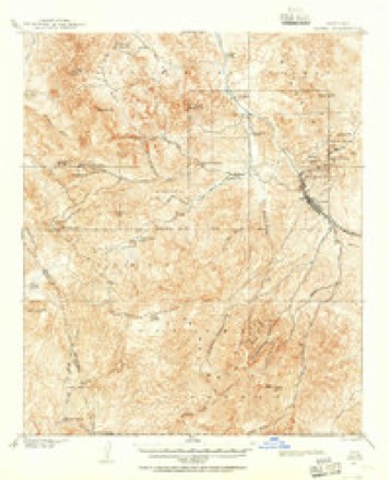
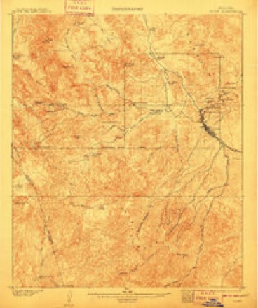
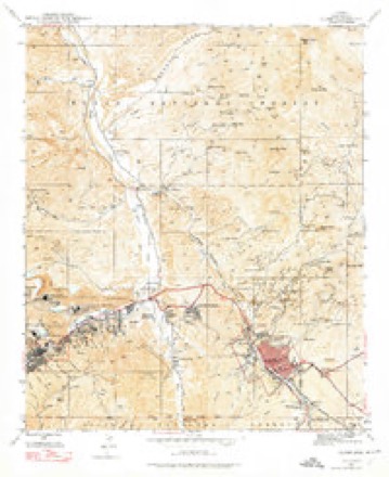
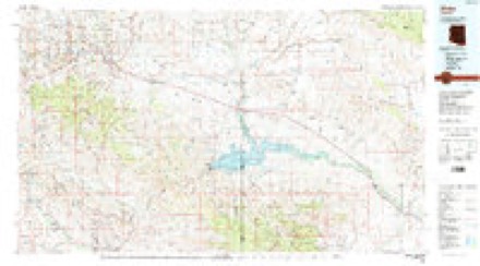
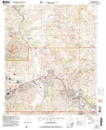
20 topographic sheets cover this place, the earliest surveyed in 1901 and the latest in 2004. It stands in the Globe-Miami census division. It lies in ZIP code area 85501. It lies near Miami Flat. The Survey maps it on the Globe quadrangle.
Topographic sheets covering this place
10 surveys from 20 printed sheetsMatched by testing this settlement's coordinate against the published boundary of every sheet in the United States Geological Survey's historical collection. Each opens the scanned sheet at the Survey.
- 1901 USGS Globe quadrangle1:62500, 2 printings
- 1902 USGS Globe quadrangle1:62500, 3 printings
- 1945 USGS Globe quadrangle1:24000, 4 printings
- 1954 USGS Mesa quadrangle1:250000, 4 printings
- 1957 USGS Mesa quadrangle1:250000
- 1958 USGS Mesa quadrangle1:250000
- 1960 USGS Mesa quadrangle1:250000
- 1964 USGS Mesa quadrangle1:250000
- 1986 USGS Globe quadrangle1:100000, 2 printings
- 2004 USGS Globe quadrangle1:24000





Fires near this place
104 since 1992Regional context, not property-specific evidence. The federal wildfire occurrence database lists 104 fires within 5 miles of Radium between 1992 and 2020, burning about 525 acres in total. 25 started naturally. 10 were recorded as arson. Distance is straight-line from the map coordinates, so a fire counted here may appear on a neighbouring settlement's page as well.
| Reported cause | Fires |
|---|---|
| Missing data/not specified/undetermined | 51 |
| Natural | 25 |
| Arson/incendiarism | 10 |
| Equipment and vehicle use | 6 |
| Debris and open burning | 4 |
| Recreation and ceremony | 3 |
| Power generation/transmission/distribution | 2 |
| Misuse of fire by a minor | 2 |
| Other causes | 1 |
The most recent of them, most recent first, with the day each was reported and the service that recorded it.
| Date | Cause | Size | Reported by | Name on the report |
|---|---|---|---|---|
| 8 September 2017 | Missing data/not specified/undetermined | under an acre | Tri-City Fire District | not named |
| 6 September 1995 | Natural | under an acre | Tonto National Forest | BEAUTY |
| 29 September 2018 | Missing data/not specified/undetermined | under an acre | Tri-City Fire District | 2703 |
| 29 September 2018 | Missing data/not specified/undetermined | under an acre | Globe Fire Department | 1433 |
| 29 September 2016 | Natural | under an acre | Tonto National Forest | SOTO |
| 25 September 2018 | Missing data/not specified/undetermined | under an acre | Globe Fire Department | 1418 |
| 25 September 2018 | Equipment and vehicle use | under an acre | Tri-City Fire District | 2663 |
| 23 September 2018 | Missing data/not specified/undetermined | under an acre | Globe Fire Department | 1408 |
Settlements close enough to share some of these fires:
Mines and quarries near this place
10 of 160 shownRegional context, not property-specific evidence. The federal mineral resources record lists 160 workings within 5 miles of Radium: 96 past producers, 43 producers, 10 prospects, 6 occurrences. 44 still produce. What was taken out: Manganese, Copper, Silver, Gold. Distance is straight-line from the map coordinates, so a quarry counted here may appear on a neighbouring settlement's page as well.
| Where | Site | Commodity | Status | Recorded |
|---|---|---|---|---|
| Albert Lea Mine | Silver, Lead, Gold, Copper, Molybdenum, Vanadium, Zinc | Past Producer | 1941, 1946 | |
| Albert Lea Tunnels | Silver, Lead, Zinc, Copper, Gold, Vanadium | Past Producer | ||
| Apache Mine | Vanadium, Lead, Molybdenum, Zinc, Copper, Silver, Gold, Semiprecious Gemstone | Past Producer | 1875, 1929, 1957 | |
| Arizona Commercial Mine | Copper, Gold, Silver, Silica | Past Producer | 1905, 1979 | |
| Big Johnnie Mine | Copper, Iron | Past Producer | 1901 | |
| Cedar Tree Deposit | Silver, Copper, Gold, Tungsten | Past Producer | ||
| Copper Cities & Diamond H | Copper, Gold, Zinc, Silver, Molybdenum, Lead, Uranium, Gemstone | Past Producer | 1896 | |
| Copper Hill | Copper, Silica, Silver, Uranium | Past Producer | ||
| Cyprus Miami | Copper, Molybdenum, Silver, Gold, Rhodium, Zinc, Lead, PGE | Producer | 1872, 1915 | |
| Day Peaks Area Veins | Molybdenum, Lead, Tungsten, Gold | Occurrence | Vein |
Storms near this place
8 since 2009Regional context, not property-specific evidence. The National Weather Service names Radium in 8 storm reports between 2009 and 2021: 4 thunderstorm wind, 3 flash flood, 1 heavy rain. The reports record 1 death and 1 injury. Each account below is quoted exactly as the forecast office filed it, from the NOAA Storm Events Database, and each date opens the federal record of that event.
| When | Event | Place named | Harm | What the report says |
|---|---|---|---|---|
| July 2019 | Flash Flood | Radium | 1 killed, 1 hurt, $20,000 | Thunderstorms with very heavy rain developed across portions of southern Gila County during the evening hours on July 22nd; some of the stronger storms produced peak rain rates in excess of one inch per hour that were sufficient to cause episodes of flash flooding. Some of the flash flooding affected the area near the town of Globe, and to the northeast along and to the west of Highway 77. At 1834MST the public reported that water was flowing across Glendale Avenue in Central Heights, about 2 miles east of Claypool. Later that evening at 1950MST, according to the Gila County Sheriff's Office two adults were driving a pickup truck to the north of Globe and were swept away by floodwaters as they tried to cross Irene Gulch. One of the adults was injured but ultimately rescued while the other, a 52 year old woman, perished. They were swept away about 3 miles to the northeast of the town of Claypool. A Flash Flood Warning had been issued for the area well in advance but was either not received or was not heeded. |
| July 2009 | Flash Flood | Radium | $20,000 | Very heavy rain caused streets to flood and at least one landslide on the hill near Miami. The official observer in Globe had .97 inches in less than an hour. Strong winds and small hail accompanied the storms. |
| August 2018 | Flash Flood | Radium | $5,000 | Thunderstorms with locally heavy rain developed across portions of southern Gila County during the evening hours on August 7th; peak rain rates in the area ranged between one and two inches per hour. The heavy rain led to minor flash flooding northeast of the town of Globe. According to the Arizona Department of Highways, at 1839MST heavy rain caused rocks and debris to flow onto portions of U.S. Highway 60 about 15 miles to the northeast of Globe. The debris did not cover the entire road and traffic was still able to pass by on at least one of the lanes. No accidents were reported due to the debris in the roadway. A Flash Flood Warning was issued at 1808MST but the warning was for an area south of the debris flow. |
| July 2021 | Thunderstorm Wind | Radium | $500 | Cement tiles were blown off a roof, and a grill, propane tank, and heavy iron table were blown over in a severe warned thunderstorm. A 61 mph wind gust was measured by a home weather station at this location. Timing based on radar. No injuries were reported. |
| July 2015 | Heavy Rain | Radium | - | Scattered thunderstorms developed across southern Gila county during the afternoon hours, and they produced locally heavy rainfall which affected communities such as Globe and Claypool. At 1523MST, a trained spotted 3 miles northeast of Claypool measured 0.91 inches of rain; the rain fell in a 30 minute period. The heavy rain led to the issuance of 2 Small Stream Flood Advisories for the area. |
| August 2014 | Thunderstorm Wind | Radium | - | Thunderstorms developed across portions of southern Gila county during the afternoon hours on August 17th and some of them affected the community of Claypool. The stronger storms generated gusty outflow winds in excess of 60 mph; a trained weather spotter located about 3 miles east of Claypool measured a wind gust to 70 mph. No damage was reported due to the strong winds. |
| July 2014 | Thunderstorm Wind | Radium | - | Isolated thunderstorms developed in the area around Globe and Claypool during the early afternoon hours on July 14th. The storms produced gusty outflow winds; fortunately no damage occurred. A trained spotter 3 miles northeast of Claypool measured a peak wind gust to 58 mph. |
| July 2013 | Thunderstorm Wind | Radium | - | Isolated thunderstorms developed across portions of southern Gila County during the evening hours on July 2nd. The storms affected the area around Globe, and they produced strong and gusty winds in excess of 60 mph. At 720 pm, a trained spotter approximately 1 mile north of Globe measured a northerly wind gust to 67 mph. Sustained speeds were about 30 mph. No damage was reported as a result of the high winds. |
Nearest settlements
The eight closest, with where each one stands in the county. Distances are straight-line, computed from the Geographic Names Information System coordinates.
| Map | Place | Distance | Sheets |
|---|---|---|---|
| Burch | 0.6 miles | 20 | |
| Midland City | 2.6 miles | 20 | |
| Central Heights | 2.7 miles | 20 | |
| Miami Gardens | 2.8 miles | 20 | |
| Claypool | 2.9 miles | 20 | |
| Lower Miami | 3.4 miles | 20 | |
| Copper Hill | 3.5 miles | 20 | |
| Little Acres | 3.8 miles | 20 |
Provenance
This settlement is recorded in the Geographic Names Information System as feature 33317. The sheet list is computed by point-in-boundary test against the United States Geological Survey's historical topographic inventory. Both are works of the United States government and carry no copyright under 17 U.S.C. 105.
Wildfire. Short, Karen C. 2022. Spatial wildfire occurrence data for the United States, 1992-2020 [FPA_FOD_20221014]. 6th Edition. Fort Collins, CO: Forest Service Research Data Archive. https://doi.org/10.2737/RDS-2013-0009.6 Collected with United States Government funding and usable without additional permissions or fees.
Mines and quarries. USGS Mineral Resources Data System (MRDS) https://mrdata.usgs.gov/mrds/ A work of the United States government, no copyright under 17 U.S.C. 105.
Storms. NOAA National Centers for Environmental Information, Storm Events Database https://www.ncei.noaa.gov/stormevents/ A work of the United States government, no copyright under 17 U.S.C. 105. Narratives are quoted verbatim from the National Weather Service report and are not edited or summarised.