 Block
Show Low, Arizona
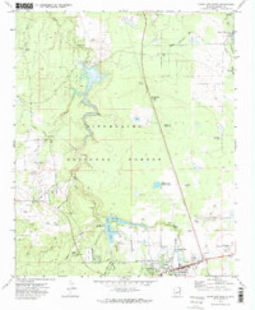
16 topographic sheets cover this place, the earliest surveyed in 1886 and the latest in 1998. It stands in the Snowflake census division. It lies in ZIP code area 85901. The Survey maps it on the Show Low North quadrangle.
On record in Show Low
Buildings and businesses the archive holds for this place. Each opens its own page, with the source record it came from.
On the National Register 3 records
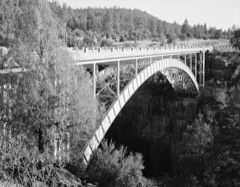 Cedar Canyon Bridgelisted 1988
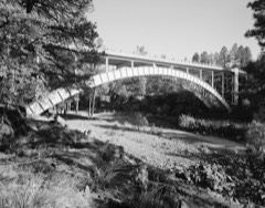 Corduroy Creek Bridgelisted 1988
- Abner Ellsworth Houselisted 1997
Surveyed buildings and structures 2 records
- Cedar Canyon Bridge, Spanning Cedar Canyon at Highway 60, Show Lowfederal building survey, 22 photographs
- Corduroy Creek Bridge, Spanning Corduroy Creek at Highway 60, Show Lowfederal building survey, 29 photographs
Topographic sheets covering this place
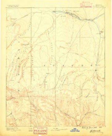
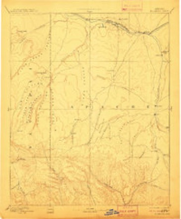
9 surveys from 16 printed sheetsMatched by testing this settlement's coordinate against the published boundary of every sheet in the United States Geological Survey's historical collection. Each opens the scanned sheet at the Survey.
- 1886 USGS Holbrook quadrangle1:250000
- 1893 USGS Holbrook quadrangle1:250000, 4 printings
- 1954 USGS Holbrook quadrangle1:250000, 3 printings
- 1957 USGS Holbrook quadrangle1:250000
- 1958 USGS Holbrook quadrangle1:250000
- 1960 USGS Holbrook quadrangle1:250000
- 1970 USGS Show Low North quadrangle1:24000, 2 printings
- 1981 USGS Show Low quadrangle1:100000, 2 printings
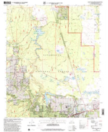
- 1998 USGS Show Low North quadrangle1:24000
Photographs
1 photograph,Taken for the Office of War Information and the Farm Security Administration, who photographed the country between 1935 and 1944. Works of United States government photographers, with no known restriction on use. Each opens its catalogue record.
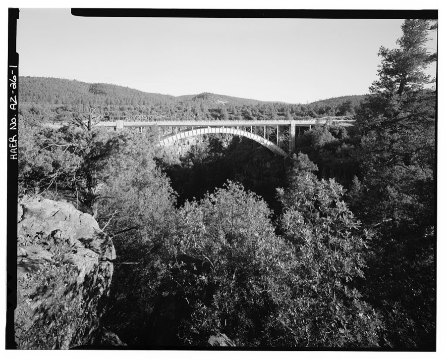
Photographer not recorded. Library of Congress
Fires near this place
244 since 1992Regional context, not property-specific evidence. The federal wildfire occurrence database lists 244 fires within 5 miles of Show Low between 1992 and 2020, burning about 134 acres in total. 42 started naturally. 8 were recorded as arson. Distance is straight-line from the map coordinates, so a fire counted here may appear on a neighbouring settlement's page as well.
| Reported cause | Fires |
|---|---|
| Missing data/not specified/undetermined | 108 |
| Recreation and ceremony | 64 |
| Natural | 42 |
| Arson/incendiarism | 8 |
| Equipment and vehicle use | 8 |
| Misuse of fire by a minor | 5 |
| Smoking | 4 |
| Debris and open burning | 2 |
| Fireworks | 1 |
| Power generation/transmission/distribution | 1 |
| Other causes | 1 |
The most recent of them, most recent first, with the day each was reported and the service that recorded it.
| Date | Cause | Size | Reported by | Name on the report |
|---|---|---|---|---|
| 8 September 2019 | Missing data/not specified/undetermined | under an acre | Tombstone Volunteer Fire Department | NOT NAMED |
| 8 September 1997 | Natural | under an acre | Fort Apache Agency | BOUNDARY |
| 7 September 2020 | Missing data/not specified/undetermined | under an acre | Arizona Department of Forestry and Fire Management - State Office | not named |
| 5 September 2011 | Natural | under an acre | Apache-Sitgreaves National Forest | WOOLHOUSE |
| 3 September 2019 | Missing data/not specified/undetermined | under an acre | Tombstone Volunteer Fire Department | NOT NAMED |
| 27 September 2015 | Missing data/not specified/undetermined | under an acre | Arizona Department of Forestry and Fire Management - State Office | 153720 |
| 26 September 1998 | Recreation and ceremony | under an acre | Apache-Sitgreaves National Forest | BAGNAL 3 |
| 23 September 1998 | Recreation and ceremony | under an acre | Apache-Sitgreaves National Forest | BAGNAL 2 |
Settlements close enough to share some of these fires:
Mines and quarries near this place
10 within 5 milesRegional context, not property-specific evidence. The federal mineral resources record lists 10 workings within 5 miles of Show Low: 4 past producers, 4 producers, 2 unknowns. 4 still produce. What was taken out: Pumice, Sand and Gravel, Construction, Volcanic Materials, Coal. Distance is straight-line from the map coordinates, so a quarry counted here may appear on a neighbouring settlement's page as well.
| Where | Site | Commodity | Status | Recorded |
|---|---|---|---|---|
| Apache Coal | Coal, Iron | Past Producer | ||
| First Knoll Pit - Lakeside | Volcanic Materials | Past Producer | ||
| Owens Pit | Volcanic Materials | Past Producer | ||
| Gravel Pit | Sand and Gravel, Construction | Unknown | ||
| Linden Pit & Plant | Sand and Gravel, Construction | Producer | ||
| Reidhead Sand & Rock Pit | Sand and Gravel, Construction | Producer | ||
| Owens Pit | Pumice | Past Producer | ||
| Owens Pit | Pumice | Unknown | ||
| Second Knoll Pit | Pumice | Producer | ||
| Second Knoll Pit-East Si | Pumice | Producer |
Storms near this place
11 since 1996Regional context, not property-specific evidence. The National Weather Service names Show Low in 11 storm reports between 1996 and 2021: 3 hail, 2 flood, 2 lightning, 2 flash flood. The reports record 1 death and 1 injury. Each account below is quoted exactly as the forecast office filed it, from the NOAA Storm Events Database, and each date opens the federal record of that event.
| When | Event | Place named | Harm | What the report says |
|---|---|---|---|---|
| July 2013 | Lightning | Show Low | 1 killed | A 54 year old man was walking along the south edge of Scott Reservoir with two other people when he was stuck and killed by lightning. |
| August 2004 | Lightning | Show Low | 1 hurt | A woman was hit by lightning outside her home in Show Low. She was knocked unconscious for a short time and couldn't feel her legs when she regained consciousness. She was taken to the hospital for testing. She was able to return to work a few days later even though she still has some pain in her legs and back. |
| July 2021 | Flash Flood | Show Low | - | Heavy rain from a thunderstorm caused flooding on State Route 260 on the south side of Show Low. A car got stuck in the high water. Flooding was also reported east of Show Low near Highway 60 and Little Mormon Lake Road meet and on to the Second Knoll Shooting Range (Forest Road 206). |
| August 2018 | Hail | Show Low | - | One inch diameter hail was reported in the west part of Show Low. |
| September 2016 | Hail | Show Low | - | Trained spotters reported one half inch to one inch diameter hail covering the ground between 2 and 8 miles north of Show Low. |
| July 2014 | Heavy Rain | Show Low | - | A thunderstorm produced 1.75 inches of rain in about an hour at White Mountain Lake. Some small debris washed onto roads. |
| July 2008 | Hail | Show Low | - | A weather spotter 8 miles southwest of Show Low reported 3/4 inch diameter hail. |
| August 2006 | Flash Flood | Show Low | - | Flash flooding caused the closure of east bound Highway 60 about 7 miles east of Show Low. Debris was cleared from the road and it was reopened by 520 PM. |
| August 2001 | Funnel Cloud | Show Low | - | A funnel cloud was reported by an employee at a Show Low radio station. The funnel cloud extended half way to the ground near Porter Mountain. |
| August 1997 | Flood | Show Low | - | Minor flooding in the Show Low area. |
| August 1996 | Flood | Show Low | - | no account filed |
Nearest settlements
The eight closest, with where each one stands in the county. Distances are straight-line, computed from the Geographic Names Information System coordinates.
| Map | Place | Distance | Sheets |
|---|---|---|---|
| Roundy Crossing | 4.4 miles | 16 | |
| Bell | 6.2 miles | 19 | |
| Lake of the Woods | 6.6 miles | 21 | |
| White Mountain Lake | 6.7 miles | 19 | |
| Linden | 7.1 miles | 16 | |
| White Mountain Lakes Estates | 7.2 miles | 19 | |
| Silver Creek | 7.3 miles | 19 | |
| Lakeside | 7.5 miles | 21 |
Provenance
This settlement is recorded in the Geographic Names Information System as feature 42850. The sheet list is computed by point-in-boundary test against the United States Geological Survey's historical topographic inventory. Both are works of the United States government and carry no copyright under 17 U.S.C. 105.
Wildfire. Short, Karen C. 2022. Spatial wildfire occurrence data for the United States, 1992-2020 [FPA_FOD_20221014]. 6th Edition. Fort Collins, CO: Forest Service Research Data Archive. https://doi.org/10.2737/RDS-2013-0009.6 Collected with United States Government funding and usable without additional permissions or fees.
Mines and quarries. USGS Mineral Resources Data System (MRDS) https://mrdata.usgs.gov/mrds/ A work of the United States government, no copyright under 17 U.S.C. 105.
Storms. NOAA National Centers for Environmental Information, Storm Events Database https://www.ncei.noaa.gov/stormevents/ A work of the United States government, no copyright under 17 U.S.C. 105. Narratives are quoted verbatim from the National Weather Service report and are not edited or summarised.