 Block
Sunflower, Arizona
23 topographic sheets cover this place, the earliest surveyed in 1907 and the latest in 2004. It stands in the Tonto National Forest census division. It lies in ZIP code area 85264. It lies near Kitty Joe Canyon. The Survey maps it on the Boulder Mountain quadrangle. It stands 3,405 feet above sea level.
Topographic sheets covering this place
12 surveys from 23 printed sheetsMatched by testing this settlement's coordinate against the published boundary of every sheet in the United States Geological Survey's historical collection. Each opens the scanned sheet at the Survey.
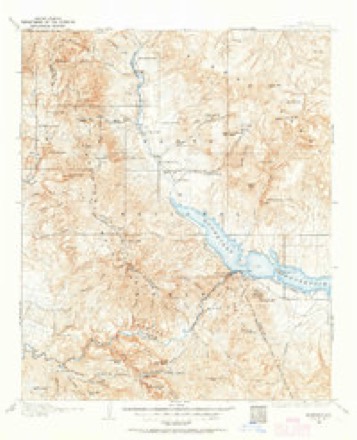
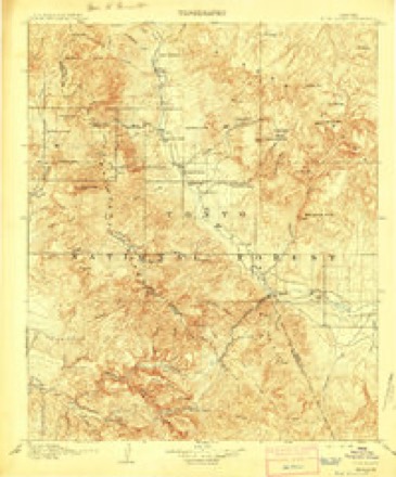
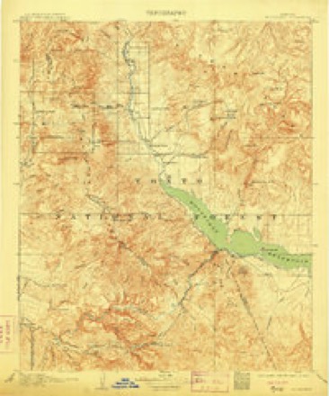
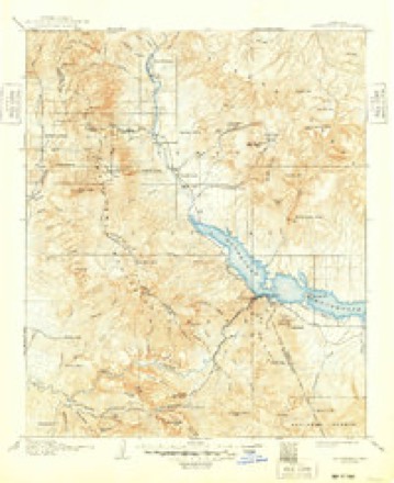
- 1907 USGS Roosevelt quadrangle1:125000, 2 printings
- 1909 USGS Four Peaks quadrangle1:125000
- 1909 USGS Roosevelt quadrangle1:125000
- 1912 USGS Roosevelt quadrangle1:125000, 4 printings
- 1954 USGS Mesa quadrangle1:250000, 4 printings
- 1957 USGS Mesa quadrangle1:250000
- 1958 USGS Mesa quadrangle1:250000
- 1960 USGS Mesa quadrangle1:250000
- 1964 USGS Boulder Mtn quadrangle1:24000, 3 printings
- 1964 USGS Mesa quadrangle1:250000
- 1994 USGS Theodore Roosevelt Lake quadrangle1:100000, 3 printings
- 2004 USGS Boulder Mountain quadrangle1:24000





Fires near this place
211 since 1992Regional context, not property-specific evidence. The federal wildfire occurrence database lists 211 fires within 5 miles of Sunflower between 1992 and 2020, burning about 24,715 acres in total. 42 started naturally. 2 were recorded as arson. Distance is straight-line from the map coordinates, so a fire counted here may appear on a neighbouring settlement's page as well.
| Reported cause | Fires |
|---|---|
| Equipment and vehicle use | 83 |
| Missing data/not specified/undetermined | 63 |
| Natural | 42 |
| Recreation and ceremony | 17 |
| Misuse of fire by a minor | 2 |
| Arson/incendiarism | 2 |
| Fireworks | 1 |
| Smoking | 1 |
The most recent of them, most recent first, with the day each was reported and the service that recorded it.
| Date | Cause | Size | Reported by | Name on the report |
|---|---|---|---|---|
| 8 September 1993 | Missing data/not specified/undetermined | 3.0 acres | Tonto National Forest | not named |
| 7 September 2017 | Equipment and vehicle use | under an acre | Tonto National Forest | SUMMIT |
| 5 September 2010 | Equipment and vehicle use | under an acre | Tonto National Forest | MESA |
| 29 September 2018 | Equipment and vehicle use | under an acre | Tonto National Forest | GROVE |
| 27 September 2008 | Missing data/not specified/undetermined | under an acre | Tonto National Forest | BLACK |
| 26 September 2002 | Equipment and vehicle use | under an acre | Arizona Department of Forestry and Fire Management - State Office | BLACK MESA |
| 26 September 2000 | Natural | under an acre | Tonto National Forest | EAGLE |
| 25 September 2020 | Equipment and vehicle use | under an acre | Tonto National Forest | RAM |
Settlements close enough to share some of these fires:
Mines and quarries near this place
10 of 12 shownRegional context, not property-specific evidence. The federal mineral resources record lists 12 workings within 5 miles of Sunflower: 5 occurrences, 4 unknowns, 2 prospects, 1 past producer. None of them still produces. What was taken out: Gold, Sand and Gravel, Construction, Barium-Barite, Silica, Quartz. Distance is straight-line from the map coordinates, so a quarry counted here may appear on a neighbouring settlement's page as well.
| Where | Site | Commodity | Status | Recorded |
|---|---|---|---|---|
| Cendia Claims | Copper, Mercury | Unknown | ||
| Harrison Deposit | Silica, Quartz | Occurrence | Quartz | |
| Humdinger | Copper, Silver, Gold | Occurrence | ||
| Little Daisy | Gold, Lead, Zinc, Copper, Sulfur-Pyrite | Unknown | ||
| Mazatzal Mountains Area | Mercury | Past Producer | 1911 | |
| Reno Pass Four | Clay | Occurrence | ||
| Reno Pass Four | Kaolin | Prospect | ||
| Telluride Chief | Gold, Copper, Silver, Vanadium | Occurrence | ||
| Gravel Pit | Sand and Gravel, Construction | Unknown | ||
| Gravel Pit | Sand and Gravel, Construction | Unknown |
Storms near this place
14 since 1998Regional context, not property-specific evidence. The National Weather Service names Sunflower in 14 storm reports between 1998 and 2024: 8 flash flood, 4 thunderstorm wind, 1 heavy rain, 1 flood. The reports record 3 deaths. Each account below is quoted exactly as the forecast office filed it, from the NOAA Storm Events Database, and each date opens the federal record of that event.
| When | Event | Place named | Harm | What the report says |
|---|---|---|---|---|
| March 1998 | Flash Flood | Sunflower | 3 killed | Three members of a Boy Scout troop perished after their sport utility vehicle was swept out from under them. The scouts tried to cross a running wash near Sunflower. Occasionally heavy rain showers persisted in the area throughout the afternoon and early evening. |
| March 2023 | Flood | Sunflower | $50,000 | Lake levels at Bartlett Lake quickly rose during the overnight hours Thursday night into Friday morning on the 16th-17th. Levels reportedly rose 10 feet during the overnight hours, leaving at least two camp trailers submerged in several feet of water. No injuries were reported. |
| July 2012 | Flash Flood | Sunflower | $5,000 | Scattered thunderstorms developed across northeast Maricopa county during the afternoon hours on July 28th, and some of them produced locally heavy rainfall. At about 4 pm, the upper Sycamore Creek Canyon precipitation gage on the upper portion of the burn reported 0.87 inches of rain within a 15 minute period. This amount of rain, coupled with additional rainfall, led to flash flooding along Sycamore Creek as well as the burn area and the community of Sunflower. At 551 pm, DPS reported that Sycamore wash was flooding with water reaching homes in Sunflower. At 556 pm, a report from ArizonaNewsnet indicated a flood approaching the Sycamore Creek Beeline Highway bridge at milepost 212. Additional reports near 6 pm indicated water was out of the banks of Sycamore creek and covering area roads in and around Sunflower. |
| July 2022 | Flash Flood | Sunflower | $2,000 | North Lake Rd along Bartlett Lake was closed due to flooding and debris making the road impassable to vehicular traffic. No injuries were reported. |
| July 2024 | Thunderstorm Wind | Sunflower | - | A mesonet station located in the Tonto Basin area measured a 60 mph wind gust. |
| July 2022 | Thunderstorm Wind | Sunflower | - | A mesonet station at Bartlett Lake measured a 60 mph wind gust. |
| July 2021 | Thunderstorm Wind | Sunflower | - | Mesonet station SRP20 at Bartlett Dam measured a 60 mph wind gust. |
| August 2021 | Flash Flood | Sunflower | - | Heavy rainfall led to a rapid increase in flow in Sycamore Creek. A Maricopa County Flood Control District stream gage along Sycamore Creek near NF-201 and Beeline Highway recorded the creek climbing above alarm stage, cresting at 4.54 feet at 1247MST. Downstream impacts included old SR 87 and low-lying homes. No damage or injuries were reported. |
| August 2021 | Flash Flood | Sunflower | - | Roads into Bartlett Lake were reported to be flooded and impassable in multiple locations, with some people having to be rescued out of the lake area. |
| August 2021 | Flash Flood | Sunflower | - | A camera located along Kitty Joe Creek showed high, swiftly moving flow that was nearly topping the banks of the creek. No damage or injuries were reported. |
| July 2018 | Thunderstorm Wind | Sunflower | - | Thunderstorms developed across the higher terrain east of Phoenix during the afternoon and early evening hours on July 30th; the stronger storms generated strong and gusty outflow winds estimated to be in excess of 60 mph. According to a report from the public, at 1835MST a wind gust estimated at 66 mph occurred at Bartlett Lake or about 10 miles southwest of Sunflower. A Severe Thunderstorm Warning had been issued earlier for the area and was in effect at the time of the wind gust. No damage was reported. |
| July 2013 | Flash Flood | Sunflower | - | Scattered thunderstorms developed across portions of northeast Maricopa and southern Gila counties during the afternoon hours on July 25th. The storms continued for a few hours and dropped steadily increasing amounts of rain. Locally heavy rain occurred with the stronger storms and rainfall rates exceeded one inch per hour. Eventually, a Flash Flood Warning was issued for far northeast Maricopa county, in the area around the Sunflower burn, and south along Sycamore Creek. The warning was issued at 426 pm and continued until 630 pm. According to county officials, at 437 pm a peak flow of 1619 CFS was recorded at a stream gage along Sycamore Creek, indicating flash flooding was occurring. Fortunately, no reports of injuries or damage were received due to the flooding. |
| September 2012 | Heavy Rain | Sunflower | - | Thunderstorms with locally heavy rain developed over portions of far northeast Maricopa county during the late afternoon hours on September 3rd, and they affected the Sunflower burn area. Locally heavy rain over the burn resulted in enhanced flow down Sycamore creek, as shown by streamflow gages. At 647 pm, the Upper Sunflower RAWS automated rain gauge measured 1.65 inches of rainfall over the past 2 hour period. The heavy rain did lead to enhanced flow down Sycamore creek and as a result a Flash Flood Warning was issued for both the burn area and Sycamore creek downstream through Sunflower. However, it appears that no significant flash flooding actually occurred in the burn area or downstream in the community of Sunflower. |
| August 2012 | Flash Flood | Sunflower | - | Scattered thunderstorms developed across northeast Maricopa county, including the area around the Sunflower Burn, during the late evening hours on August 16th. The storms produced locally heavy rainfall over the burn area, and radar indicated that over one and one half inches fell since around 10 pm. Due to the burn conditions, the heavy rain led to flash flooding which affected both the town of Sunflower and Sycamore creek downstream of the burn. Stream gage sensors near the Tonto National Forest Work Center indicated that flow in Sycamore Creek reached 7900 cfs, and the depth of the water was over 10 feet. Flash Flood Warnings were issued for both the area around and downstream of the burn area, starting at 1110 pm and continuing through 245 am early on the 17th. The flash flood warning was converted to a flood warning, which continued through 645 am. Local law enforcement indicated that flooding along Sycamore creek caused forest roads 403 and 414 to be closed. During the peak of flooding, Sycamore creek left its banks and was nearly 40 yards wide in some locations. Rapid debris flow was noted along highway 87 at Round Valley. |
Nearest settlements
The eight closest, with where each one stands in the county. Distances are straight-line, computed from the Geographic Names Information System coordinates.
| Map | Place | Distance | Sheets |
|---|---|---|---|
| Rio Verde Estates | 14.7 miles | 26 | |
| Rio Verde | 14.7 miles | 26 | |
| Camp Creek | 18.8 miles | 21 | |
| Fort McDowell | 19.1 miles | 26 | |
| Horse Mesa | 20.3 miles | 25 | |
| Fountain Hills | 21.9 miles | 25 | |
| Reata Pass | 21.9 miles | 29 | |
| Fountain View | 22.6 miles | 25 |
Elsewhere
Matched on this settlement's Geographic Names Information System number rather than its name, so it cannot be a different place of the same name in another state.
| Wikipedia article on Sunflower | An encyclopaedic summary. Its text is share-alike, so it is linked here rather than copied. |
| Wikidata item Q7640000 | The structured record the population and elevation above come from. Public domain (CC0). |
Provenance
This settlement is recorded in the Geographic Names Information System as feature 34951. The sheet list is computed by point-in-boundary test against the United States Geological Survey's historical topographic inventory. Both are works of the United States government and carry no copyright under 17 U.S.C. 105.
Wildfire. Short, Karen C. 2022. Spatial wildfire occurrence data for the United States, 1992-2020 [FPA_FOD_20221014]. 6th Edition. Fort Collins, CO: Forest Service Research Data Archive. https://doi.org/10.2737/RDS-2013-0009.6 Collected with United States Government funding and usable without additional permissions or fees.
Mines and quarries. USGS Mineral Resources Data System (MRDS) https://mrdata.usgs.gov/mrds/ A work of the United States government, no copyright under 17 U.S.C. 105.
Storms. NOAA National Centers for Environmental Information, Storm Events Database https://www.ncei.noaa.gov/stormevents/ A work of the United States government, no copyright under 17 U.S.C. 105. Narratives are quoted verbatim from the National Weather Service report and are not edited or summarised.