 Block
Fountain Hills, Arizona
25 topographic sheets cover this place, the earliest surveyed in 1904 and the latest in 2004. It stands in the Phoenix census division. It lies in ZIP code area 85268. It stands on Colony Wash. The Survey maps it on the Granite Reef Dam quadrangle. 23,820 people lived here at the 2020 count. It stands 4,150 feet above sea level.
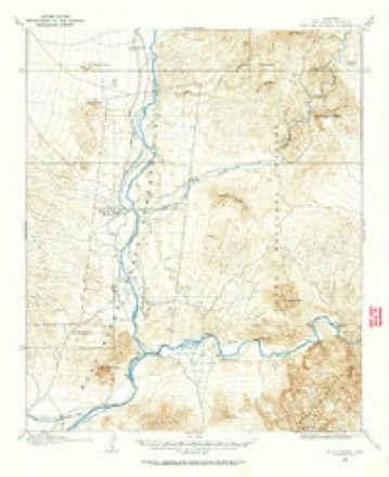
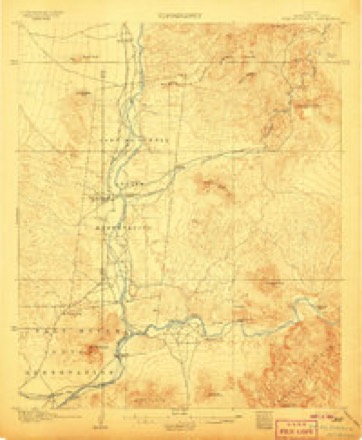
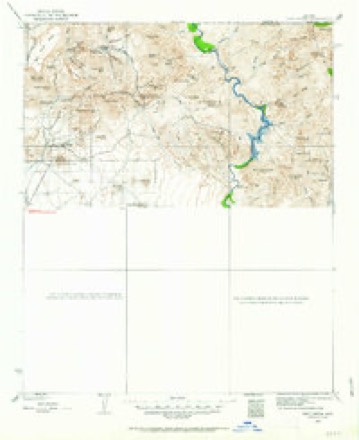
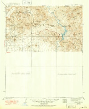
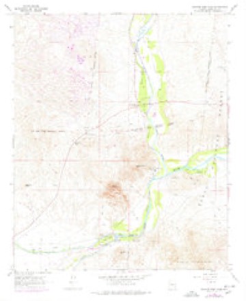
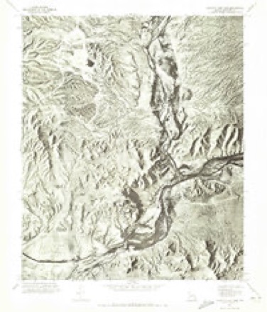
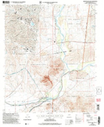
Topographic sheets covering this place
13 surveys from 25 printed sheetsMatched by testing this settlement's coordinate against the published boundary of every sheet in the United States Geological Survey's historical collection. Each opens the scanned sheet at the Survey.
- 1904 USGS Ft. McDowell quadrangle1:62500
- 1906 USGS Ft. McDowell quadrangle1:62500, 3 printings
- 1930 USGS Cave Creek quadrangle1:125000, 2 printings
- 1939 USGS Cave Creek quadrangle1:125000, 3 printings
- 1954 USGS Mesa quadrangle1:250000, 4 printings
- 1957 USGS Mesa quadrangle1:250000
- 1958 USGS Mesa quadrangle1:250000
- 1960 USGS Mesa quadrangle1:250000
- 1964 USGS Granite Reef Dam quadrangle1:24000, 3 printings
- 1964 USGS Mesa quadrangle1:250000
- 1971 USGS Granite Reef Dam quadrangle1:24000
- 1994 USGS Theodore Roosevelt Lake quadrangle1:100000, 3 printings
- 2004 USGS Granite Reef Dam quadrangle1:24000





Fires near this place
64 since 1992Regional context, not property-specific evidence. The federal wildfire occurrence database lists 64 fires within 5 miles of Fountain Hills between 1992 and 2020, burning about 1,234 acres in total. 2 started naturally. 6 were recorded as arson. Distance is straight-line from the map coordinates, so a fire counted here may appear on a neighbouring settlement's page as well.
| Reported cause | Fires |
|---|---|
| Missing data/not specified/undetermined | 43 |
| Arson/incendiarism | 6 |
| Smoking | 4 |
| Misuse of fire by a minor | 4 |
| Debris and open burning | 3 |
| Equipment and vehicle use | 2 |
| Natural | 2 |
The most recent of them, most recent first, with the day each was reported and the service that recorded it.
| Date | Cause | Size | Reported by | Name on the report |
|---|---|---|---|---|
| 27 September 1992 | Missing data/not specified/undetermined | under an acre | Salt River Agency | HOUSE 21 |
| 23 September 1992 | Missing data/not specified/undetermined | 3.0 acres | Salt River Agency | LONG |
| 15 September 1992 | Missing data/not specified/undetermined | under an acre | Salt River Agency | DRUDGE |
| 9 August 1996 | Debris and open burning | under an acre | Salt River Agency | BEE |
| 4 August 2015 | Debris and open burning | under an acre | Salt River Agency | CIRCLE |
| 20 August 2020 | Natural | 615 acres | Arizona Department of Forestry and Fire Management - Central District | MCDOWELL |
| 17 August 2020 | Missing data/not specified/undetermined | under an acre | Salt River Agency | HOOD |
| 12 August 2015 | Misuse of fire by a minor | under an acre | Salt River Agency | DUTHYANKA |
Settlements close enough to share some of these fires:
Mines and quarries near this place
6 within 5 milesRegional context, not property-specific evidence. The federal mineral resources record lists 6 workings within 5 miles of Fountain Hills: 2 past producers, 2 occurrences, 1 unknown, 1 prospect. None of them still produces. What was taken out: Copper, Clay, Sand and Gravel, Construction, Copper, Silver. Distance is straight-line from the map coordinates, so a quarry counted here may appear on a neighbouring settlement's page as well.
| Where | Site | Commodity | Status | Recorded |
|---|---|---|---|---|
| Gravel Pit | Sand and Gravel, Construction | Unknown | ||
| Red Mountain | Copper, Silver, Tin, Gold | Prospect | ||
| Dixie Copper Mine | Copper | Past Producer | Chalcopyrite | |
| Mcdowell Clay Deposit | Clay | Occurrence | ||
| Mcdowell Clay Deposit | Clay | Occurrence | ||
| Red Mountain Mine | Copper | Past Producer | Vein |
Storms near this place
28 since 1993Regional context, not property-specific evidence. The National Weather Service names Fountain Hills in 28 storm reports between 1993 and 2025: 16 thunderstorm wind, 7 flash flood, 3 hail, 1 lightning. The reports record 1 death and 1 injury. Each account below is quoted exactly as the forecast office filed it, from the NOAA Storm Events Database, and each date opens the federal record of that event.
| When | Event | Place named | Harm | What the report says |
|---|---|---|---|---|
| July 1999 | Lightning | Fountain Hills | 1 killed, 1 hurt | Lightning struck and killed a motorcyclist and injured another near Bartlett Dam. |
| August 1993 | Thunderstorm Wind | Fountain Hills | $500,000 | Many roofs were damaged as this storm moved rapidly north through Mesa. Most of the damage was near Brown and Power roads. In nearby Fountain Hills, more homes sustained roof damage, trees uprooted as winds reached an estimated 70 mph. In the area, up to 36 power poles were downed by the high winds. |
| July 1999 | Thunderstorm Wind | Fountain Hills | $100,000 | Very strong winds downed trees and power poles. Although no injuries were reported, 20 wooden power poles supporting 69,000 volt power lines snapped in Fountain Hills, according to SRP crews. |
| August 2016 | Thunderstorm Wind | Fountain Hills | $30,000 | Thunderstorms moved across the greater Phoenix area, including the community of Fountain Hills, during the afternoon hours on July 2nd. Some of the stronger storms generated gusty and damaging outflow winds estimated to be as high as 70 mph. At 1800MST a trained spotter located about 5 miles southwest of the town of Fountain Hills reported that four power poles were blown down. The downed poles were located at the intersection of 136th Street and Shea Boulevard. |
| August 2021 | Flash Flood | Fountain Hills | $10,000 | Video on social media showed significant flow in Ashbrook Wash over El Pueblo Boulevard just north of Grande Boulevard. In the video an uprooted mature palo verde tree was flowing across the road. The following morning it was found that a sedan had been swept off the road at some point during the night and crushed by debris, but the owner of the vehicle was able to escape. No injuries were reported. |
| September 2019 | Thunderstorm Wind | Fountain Hills | $10,000 | Scattered to numerous showers and thunderstorms developed across the greater Phoenix area during the afternoon hours on September 23rd; in additions to very heavy rain some of the stronger storms generated gusty and damaging outflow winds that impacted communities such as Fountain Hills and Scottsdale. According to a report from the public, at 1410MST gusty winds estimated to be as high as 60 mph knocked down multiple trees about 5 miles southwest of Fountain Hills. The downed trees were located just to the northeast of Shea Boulevard and Frank Lloyd Wright Boulevard. No injuries occurred from the falling trees. |
| July 2012 | Thunderstorm Wind | Fountain Hills | $10,000 | Thunderstorms developed during the afternoon hours on July 29th and they affected portions of the greater Phoenix area, including the community of Fountain Hills. Some of the thunderstorms produced damaging microburst wind gusts estimated to be at least 65 knots. According to local broadcast media reports, at approximately 230 pm, the strong winds uprooted trees in Fountain Hills and also damaged roof tiles on some homes. |
| July 2005 | Thunderstorm Wind | Fountain Hills | $10,000 | Power lines and trees down near I-17 and Glendale. Winds reached 53 mph in Fountain Hills and caused areas of blowing dust across Mesa and Tempe. As many as 8 boats were capsized on Tempe Town Lake. |
| October 1998 | Thunderstorm Wind | Fountain Hills | $10,000 | For the third time on this day, Fountain Hills was hit by high winds that blew sand and debris into streets along with hail and heavy rain. |
| October 2018 | Flash Flood | Fountain Hills | $5,000 | Copious amounts of deep tropical moisture spread north into the greater Phoenix area, including higher terrain locations northeast of Phoenix, during the day on October 2nd. The deep moisture continued across the area into the evening and led to widespread moderate to heavy showers which affected the areas around Fountain Hills and led to an episode of flash flooding. According to a report from the general public, at 1922MST roads about 2 miles east of Fountain Hills were completely inundated by running water and were not passable. The flooded roads were shown via pictures on social media. A Flash Flood Warning was issued for the area at 1845MST and it remained in effect through 2145MST. No accidents were reported in the area due to the flooding. |
| August 2024 | Thunderstorm Wind | Fountain Hills | $3,000 | Multiple downed trees around the Fountain Park area in Fountain Hills. A 61 mph gust was measured. Timing estimated from radar. No injuries were reported. |
| August 2018 | Thunderstorm Wind | Fountain Hills | $2,000 | Thunderstorms with strong and damaging outflow winds moved across higher terrain locations to the northeast of Phoenix during the early evening hours on August 12th. One of the stronger storms affected the community of Fountain Hills. At 1733MST a trained spotter located 1 mile east of Fountain Hills reported that gusty winds knocked down a large eucalyptus tree next to the Fountain Hills Town Hall. Winds were estimated to be at least 65 mph in strength. No injuries were reported due to the fallen tree. |
| September 2025 | Thunderstorm Wind | Fountain Hills | $1,000 | Large tree snapped in half and fell on North Sunridge Drive near the intersection with Manzanita Lane in Fountain Hills, blocking traffic. Wind gusts were estimated at 55-60 mph. No accidents or injuries reported. |
| September 2025 | Thunderstorm Wind | Fountain Hills | $1,000 | Downed palm tree in the Safeway parking lot located along Fountain Hills Boulevard in Fountain Hills. Wind gusts were estimated at 55-60 mph. No injuries reported. |
| August 2021 | Thunderstorm Wind | Fountain Hills | $1,000 | Numerous tree branches of varying sizes blown down. Wind gusts estimated 50 to 60 mph. No injuries reported. |
| September 2025 | Flash Flood | Fountain Hills | - | Video showed significant flooding on Richwood Avenue from the Hesperus Wash in Fountain Hills. Timing estimated from radar. No damages or injuries reported. |
| August 2022 | Flash Flood | Fountain Hills | - | An image showed Ashbrook Wash running across a low water crossing along El Pueblo Boulevard north of Grande Boulevard, making the road impassable. No damage or injuries were reported. |
| August 2022 | Flash Flood | Fountain Hills | - | Videos showed washes overflowing in Fountain Hills, with water moving across Golden Eagle Park and then downstream over North El Pueblo Boulevard. Timing estimated from radar. No damages or injuries were reported. |
| July 2021 | Flash Flood | Fountain Hills | - | Heavy rain fell in Fountain Hills with a few rain gages measuring a little over 1 inch in an hour. Rapid runoff led to significant flow in Ashbrook Wash. Social media videos showed at least 6-12 inches of swift moving water over Fountain Hills Boulevard near Ashbrook Drive as well as over Del Cambre Avenue near Grande Boulevard. The roads were impassable to all traffic. No damages or injuries were reported. |
| August 2018 | Thunderstorm Wind | Fountain Hills | - | Thunderstorms with gusty outflow winds developed over the higher terrain east of Phoenix during the evening hours, and some of them moved into the community of Fountain Hills. A COOP observer located 2 miles east of Fountain Hills reported a wind gust to 62 mph at 1930MST. The observer did not report any damage. |
| August 2018 | Flash Flood | Fountain Hills | - | Thunderstorms with locally heavy rains developed over the higher terrain areas to the northeast of Phoenix during the evening hours on August 8th. Some of the storms generated intense rainfall with peak rain rates approaching 2 inches per hour. The rain led to some flash flooding in the area around Fountain Hills. According to a report from the public, at 2100MST a road about 2 miles northeast of Fountain Hills was closed due to deep flowing water across the road at a low water crossing. This flash flooding was actually captured in a video. A Flash Flood Warning was issued for the area at 1921MST and it remained in effect until 2115MST. Additionally, the heavy rains resulted in a heavy flows in some of the washes in the warned area; a stream gauge at the Reata Pass Wash reported a rise of one and one half feet. |
| July 2017 | Thunderstorm Wind | Fountain Hills | - | Strong thunderstorms developed near Fountain Hills during the afternoon hours and some of them produced strong outflow winds. According to a report from a local CO-OP observer, at 1655MST a wind gust of 60 mph was measured at the station which was located 2 miles east of Fountain Hills. Damage was not reported. |
| July 2009 | Thunderstorm Wind | Fountain Hills | - | Peak winds reached 62 mph at Bartlett Dam. |
| August 2006 | Heavy Rain | Fountain Hills | - | Very heavy rain associated with thunderstorms reduced the visibility to as low as 20 yards. Some very impressive rainfall rates occurred with these storms. Actual amounts included 2.8 inches at Maryville Municipal golf course, 2.17 inches at Grand Avenue and 27th Ave, and 2.01 inches at tow automatic stations in Fountain Hills. |
| February 2003 | Thunderstorm Wind | Fountain Hills | - | In Fountain Hills, several trees and cactus were blown over, and roofs were damaged. Most of the trees and cactus that were uprooted were more or less in a straight line from Palisades Boulevard and Sunburst Drive to the area east of Fountain Hills Boulevard and Ironwood. Several homes near Ironwood and Thistle sustained roof damage. |
| October 1998 | Hail | Fountain Hills | - | Nickel to golfball size hail reported in Fountain Hills. |
| October 1998 | Hail | Fountain Hills | - | Church services interrupted by hail and very heavy rain. |
| August 2021 | Hail | Fountain Hills | - | no account filed |
Nearest settlements
The eight closest, with where each one stands in the county. Distances are straight-line, computed from the Geographic Names Information System coordinates.
| Map | Place | Distance | Sheets |
|---|---|---|---|
| Fountain View | 0.8 miles | 25 | |
| Fort McDowell | 2.8 miles | 26 | |
| Taliesin West | 6.7 miles | 26 | |
| Shiloh Canyon | 7.1 miles | 26 | |
| McDowell Mountain Ranch | 7.1 miles | 29 | |
| Cactus Villa | 7.5 miles | 26 | |
| Chimney Hill | 7.6 miles | 26 | |
| Casa Rica | 7.7 miles | 26 |
Elsewhere
Matched on this settlement's Geographic Names Information System number rather than its name, so it cannot be a different place of the same name in another state.
| Wikipedia article on Fountain Hills | An encyclopaedic summary. Its text is share-alike, so it is linked here rather than copied. |
| Wikidata item Q31820343 | The structured record the population and elevation above come from. Public domain (CC0). |
Provenance
This settlement is recorded in the Geographic Names Information System as feature 36980. The sheet list is computed by point-in-boundary test against the United States Geological Survey's historical topographic inventory. Both are works of the United States government and carry no copyright under 17 U.S.C. 105.
Wildfire. Short, Karen C. 2022. Spatial wildfire occurrence data for the United States, 1992-2020 [FPA_FOD_20221014]. 6th Edition. Fort Collins, CO: Forest Service Research Data Archive. https://doi.org/10.2737/RDS-2013-0009.6 Collected with United States Government funding and usable without additional permissions or fees.
Mines and quarries. USGS Mineral Resources Data System (MRDS) https://mrdata.usgs.gov/mrds/ A work of the United States government, no copyright under 17 U.S.C. 105.
Storms. NOAA National Centers for Environmental Information, Storm Events Database https://www.ncei.noaa.gov/stormevents/ A work of the United States government, no copyright under 17 U.S.C. 105. Narratives are quoted verbatim from the National Weather Service report and are not edited or summarised.