 Block
Twin Knolls, Arizona
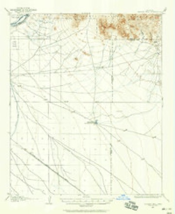
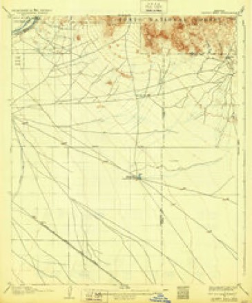
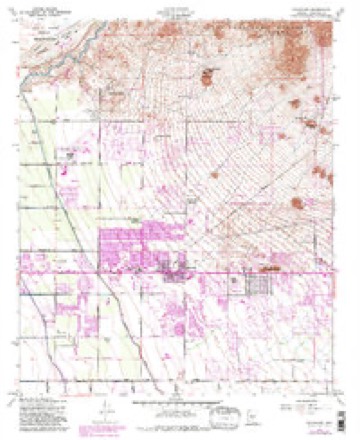
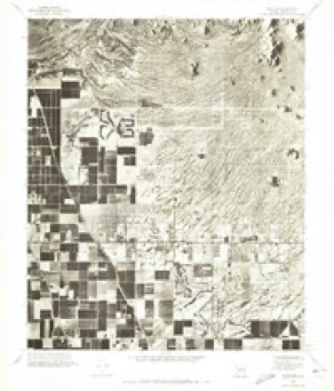
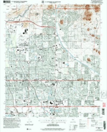
21 topographic sheets cover this place, the earliest surveyed in 1904 and the latest in 2004. It stands in the Phoenix census division. It lies in ZIP code area 85208. It lies near Double Knolls. The Survey maps it on the Buckhorn quadrangle.
Topographic sheets covering this place
11 surveys from 21 printed sheetsMatched by testing this settlement's coordinate against the published boundary of every sheet in the United States Geological Survey's historical collection. Each opens the scanned sheet at the Survey.
- 1904 USGS Desert Well quadrangle1:62500
- 1906 USGS Desert Well quadrangle1:62500, 3 printings
- 1954 USGS Mesa quadrangle1:250000, 4 printings
- 1956 USGS Buckhorn quadrangle1:24000, 5 printings
- 1957 USGS Mesa quadrangle1:250000
- 1958 USGS Mesa quadrangle1:250000
- 1960 USGS Mesa quadrangle1:250000
- 1964 USGS Mesa quadrangle1:250000
- 1971 USGS Buckhorn quadrangle1:24000
- 1994 USGS Mesa quadrangle1:100000, 2 printings
- 2004 USGS Buckhorn quadrangle1:24000






Fires near this place
312 since 1992Regional context, not property-specific evidence. The federal wildfire occurrence database lists 312 fires within 5 miles of Twin Knolls between 1992 and 2020, burning about 146 acres in total. 3 started naturally. 5 were recorded as arson. Distance is straight-line from the map coordinates, so a fire counted here may appear on a neighbouring settlement's page as well.
| Reported cause | Fires |
|---|---|
| Missing data/not specified/undetermined | 302 |
| Arson/incendiarism | 5 |
| Natural | 3 |
| Equipment and vehicle use | 2 |
The most recent of them, most recent first, with the day each was reported and the service that recorded it.
| Date | Cause | Size | Reported by | Name on the report |
|---|---|---|---|---|
| 9 September 2019 | Missing data/not specified/undetermined | under an acre | Superstition Fire and Medical District | NOT NAMED |
| 6 September 2018 | Missing data/not specified/undetermined | under an acre | Mesa Fire and Medical Department | 70804 |
| 5 September 2019 | Missing data/not specified/undetermined | under an acre | Superstition Fire and Medical District | NOT NAMED |
| 5 September 2017 | Missing data/not specified/undetermined | under an acre | Mesa Fire and Medical Department | not named |
| 4 September 2018 | Missing data/not specified/undetermined | 1.0 acres | Mesa Fire and Medical Department | 70271 |
| 28 September 2019 | Missing data/not specified/undetermined | under an acre | Superstition Fire and Medical District | NOT NAMED |
| 25 September 2018 | Missing data/not specified/undetermined | under an acre | Mesa Fire and Medical Department | 76300 |
| 23 September 2017 | Missing data/not specified/undetermined | under an acre | Mesa Fire and Medical Department | not named |
Settlements close enough to share some of these fires:
Storms near this place
28 since 2008Regional context, not property-specific evidence. The National Weather Service names Twin Knolls in 28 storm reports between 2008 and 2025: 19 thunderstorm wind, 5 flash flood, 2 hail, 1 heavy rain. The reports record 2 injuries. Each account below is quoted exactly as the forecast office filed it, from the NOAA Storm Events Database, and each date opens the federal record of that event.
| When | Event | Place named | Harm | What the report says |
|---|---|---|---|---|
| July 2008 | Thunderstorm Wind | Twin Knolls | 2 hurt, $1,000,000 | Microburst winds took down a total of 55 power poles in Mesa, leaving as many as 12,000 SRP customers without power. About 31 homes were damaged at a trailer park on North Recker, 4 of those had roofs blown off. On Southern Ave near Power Road, 15 poles were knocked down with lines impacting 7 vehicles, including a bus. The peak wind speed at Falcon Field was 44 mph at 7:47 pm. In Mesa, power poles were knocked down, trapping 6 vehicles, including a bus. One of the injuries was from cuts from broken glass. |
| October 2025 | Flash Flood | Twin Knolls | $500,000 | Significant flooding originating from a culvert took down block walls and caused major property damage to 4-5 homes with water levels as high 1.5-2 feet in a neighborhood block located near the area Loop 202 and Broadway Road in East Mesa. No injuries reported. |
| September 2010 | Lightning | Twin Knolls | $100,000 | Rural Metro responded to a call of a house fire that was caused by lightning. The house was near Meridian and Apache Trail in East Mesa. |
| August 2010 | Thunderstorm Wind | Twin Knolls | $25,000 | An amateur radio operator reported power poles blown down near University Avenue and Signal Butte road in western Apache Junction. Microburst wind gusts were estimated to be approximately 60mph. |
| September 2023 | Thunderstorm Wind | Twin Knolls | $20,000 | A couple of mobile homes sustained severe roof damage in the area of East University Drive and Loop 202 in Mesa. Wind gusts were estimated at approximately 80 mph. No injuries were reported. |
| September 2023 | Thunderstorm Wind | Twin Knolls | $20,000 | Severe damage occurred at Zaharis Elementary School located at the intersection of East McKellips Road and North Ellsworth Road in Mesa. Significant water damage occurred with several ceiling tiles ripped off as well as downed trees and debris across the campus. School was forced to close down for approximately a week due to the heavy damage. Wind gusts were estimated at approximately 80 mph. No injuries were reported. |
| September 2022 | Thunderstorm Wind | Twin Knolls | $20,000 | A large uprooted tree fell onto a couple of cars along South Ellsworth Road between East Southern Avenue and East Broadway Road in East Mesa. There were also reports of many damaged or destroyed sheet metal car ports in the area. A small metal shed was also thrown and destroyed. Winds were estimated at around 70 mph. Timing estimated from radar. No injuries were reported. |
| August 2021 | Thunderstorm Wind | Twin Knolls | $20,000 | A strong downburst knocked over or broke 20 to 30 trees and a few saguaro cacti along Brown Road and Ellsworth Road. Winds estimated around 55-65 mph and timing based on radar. No injuries reported. |
| July 2018 | Thunderstorm Wind | Twin Knolls | $20,000 | Strong thunderstorms developed over eastern portions of the greater Phoenix area during the afternoon hours, and they produced strong, gusty and damaging outflow winds that affected portions of East Mesa. According to a report from local broadcast media, at 1540MST winds estimated to be at least 60 mph caused damage to a mobile home park located about 3 miles east of East Mesa. The damage was near the intersection of Broadway and Ellsworth Roads. No injuries were reported due to the wind damage. |
| September 2011 | Thunderstorm Wind | Twin Knolls | $20,000 | Strong thunderstorms with damaging microburst winds affected part of the eastern Phoenix metropolitan area during the evening hours on September 10th. A trained weather spotter, near Brown and Ellsworth roads in east Mesa, reported that trees were downed due to winds estimated at 70 mph. |
| September 2023 | Thunderstorm Wind | Twin Knolls | $10,000 | Large trees uprooted along with ceramic tiles on rooftops damaged in the Mountain Bridge Neighborhood located near East McKellips Road in Mesa. Wind gusts were estimated at approximately 80 mph. No injuries were reported. |
| September 2022 | Thunderstorm Wind | Twin Knolls | $10,000 | Social media pictures showed multiple large tree downed across East Mesa, including one tree falling onto a house. Winds were estimated at around 70 mph. Timing estimated from radar. No injuries were reported. |
| August 2022 | Thunderstorm Wind | Twin Knolls | $10,000 | East Tepee Street at Plaza and 16th Avenue near Valley and San Marcos in Apache Junction were closed due to debris and downed power poles. Timing estimated from radar. No injuries were reported. |
| August 2016 | Flash Flood | Twin Knolls | $10,000 | Thunderstorms with heavy rain developed across the eastern portion of the greater Phoenix metropolitan area, including the community of Mesa, during the late afternoon hours on August 9th and peak rain rates with the stronger storms approached 2 inches per hour. The heavy rain led to episodes of flash flooding from East Mesa eastward into Apache Junction. At 1135MST, a National Weather Service employee reported that flash flooding had inundated several portions of Brown Road as well as portions of Loop 202 and these roads were under water. The flooded roads were located roughly 3 miles northeast of East Mesa. A Flash Flood Warning for the area was issued shortly thereafter, at 1153MST. No serious accidents or injuries were reported due to the flash flooding. |
| July 2022 | Thunderstorm Wind | Twin Knolls | $8,000 | A home weather station measured 65 mph with tiles blown off from the roof of the house. The location of the home was near the intersection of McKellips and Ellsworth Roads. No injuries were reported. |
| August 2021 | Thunderstorm Wind | Twin Knolls | $3,000 | A 40 foot tree fell through a 5 foot cinderblock wall and onto a chicken coop at a home near University Drive and 96th Street. There were no chickens in the coop at the time and no injuries were reported. Winds were estimated around 55 to 65 mph. Timing estimated from radar. |
| June 2015 | Thunderstorm Wind | Twin Knolls | $3,000 | Isolated thunderstorms developed across portions of the greater Phoenix metropolitan area during the late afternoon and early evening hours, and some of the storms affected east Mesa and Apache Junction. The stronger storms produced gusty outflow winds estimated to be at least 50 mph in strength. According to a trained spotter located just east of highway 202 and between East Main and University, gusty winds blew down a large tree in the backyard of a local home. |
| August 2021 | Thunderstorm Wind | Twin Knolls | $2,000 | A downed power pole was reported near Ellsworth Road and Brown Road in Mesa. No injuries were reported. |
| July 2011 | Thunderstorm Wind | Twin Knolls | $2,000 | Thunderstorms over the south central deserts produced strong downburst winds during the evening hours on July 9th. The strong winds produced a dust storm that affected the eastern portions of the greater Phoenix area, including Mesa and Apache Junction. Shortly after 8 pm, a trained weather spotter reported winds gusting to 60 mph with visibility down to one quarter mile in blowing dust at the intersection of Loop 202 and Ellsworth Roads. Additionally, the strong winds blew the awning off of a mobile home. |
| September 2023 | Thunderstorm Wind | Twin Knolls | $1,000 | Large tree approximately 9-11 inches in diameter was uprooted in 8534 East Halifax Circle in Mesa. Wind gusts were estimated at around 60 mph. No injuries were reported. |
| September 2019 | Thunderstorm Wind | Twin Knolls | $1,000 | Isolated to scattered thunderstorms developed across the eastern portions of the greater Phoenix area during the afternoon hours on September 1. Some of the stronger storms produced gusty and damaging winds in the Mesa and East Mesa communities. According to a National Weather Service employee located about 3 miles east of East Mesa, at 1700MST gusty winds estimated to be at least 55 mph blew down a Palo Verde tree with a diameter of 18 inches. The tree was about 25 feet tall. The tree was downed just northeast of the intersection of East Main Street and Ellsworth Drive. No injuries were reported. |
| October 2025 | Flash Flood | Twin Knolls | - | Six to eight inches of fast flowing water along East Apache Trail near North 88th street in Mesa. No damages or injuries reported. |
| September 2023 | Hail | Twin Knolls | - | Video showed hailstones up to one inch in diameter in the Mountain Bridge Neighbor in Mesa located just east of Loop 202. No damages or injuries were reported. |
| August 2021 | Flash Flood | Twin Knolls | - | Video on social media shows at least 6 inches of swift-moving water flowing down 96th Street near Duncan Street. No damages of injuries were reported. |
| September 2015 | Flash Flood | Twin Knolls | - | The atmosphere across the greater Phoenix area was very moist and unstable on September 22nd, courtesy of tropical moisture that spread into the area ahead of tropical depression 16-E. An area of low pressure moved across central Arizona during the evening hours and as a result scattered thunderstorms developed which affected the eastern portions of the Phoenix area, including the community of Mesa. Due to the high levels of moisture in the atmosphere, some of the stronger storms produced intense rainfall with peak rain rates approaching 2 inches per hour. The intense rain led to episodes of both urban flooding and flash flooding. According to a trained weather spotter, the exit ramps on the Superstition Highway at Crimson Road became flooded by 1920MST. The flooding was caused by 1.4 inches of rain which fell in the hour ending at 1920MST. About 12 to 18 inches of rain covered the roadway in this area, approximately 4 miles southeast of Superstition Springs Mall. A Flash Flood Warning was issued at 1923MST and it remained in effect through 2115MST. No injuries were reported due to the flash flooding. |
| September 2011 | Thunderstorm Wind | Twin Knolls | - | Strong thunderstorms developed across the eastern portion of the greater Phoenix area during the evening hours on September 10th. At approximately 6 pm, a National Weather Service employee in east Mesa estimated a thunderstorm wind gust to 70 mph. No damage was reported with this gust. |
| September 2011 | Hail | Twin Knolls | - | Strong thunderstorms moved across the eastern greater Phoenix area during the evening hours on September 10th, and some of them produced large hail. A National Weather Service employee in east Mesa reported hail estimated to be one inch in diameter. No damage was reported in association with the large hail. |
| July 2008 | Heavy Rain | Twin Knolls | - | One inch of rain in only 30 minutes. |
Nearest settlements
The eight closest, with where each one stands in the county. Distances are straight-line, computed from the Geographic Names Information System coordinates.
| Map | Place | Distance | Sheets |
|---|---|---|---|
| Sunset Trail Ranch | 0.3 miles | 21 | |
| East Mesa | 0.4 miles | 21 | |
| Fountain of the Sun | 0.8 miles | 21 | |
| Silver Spur Ranch | 1.2 miles | 21 | |
| Silver Spur Village | 1.3 miles | 21 | |
| Desert Vista Estates III | 1.3 miles | 21 | |
| Superstition Country Subdivision | 1.4 miles | 21 | |
| Velda Rose Estates | 2.1 miles | 21 |
Provenance
This settlement is recorded in the Geographic Names Information System as feature 37109. The sheet list is computed by point-in-boundary test against the United States Geological Survey's historical topographic inventory. Both are works of the United States government and carry no copyright under 17 U.S.C. 105.
Wildfire. Short, Karen C. 2022. Spatial wildfire occurrence data for the United States, 1992-2020 [FPA_FOD_20221014]. 6th Edition. Fort Collins, CO: Forest Service Research Data Archive. https://doi.org/10.2737/RDS-2013-0009.6 Collected with United States Government funding and usable without additional permissions or fees.
Storms. NOAA National Centers for Environmental Information, Storm Events Database https://www.ncei.noaa.gov/stormevents/ A work of the United States government, no copyright under 17 U.S.C. 105. Narratives are quoted verbatim from the National Weather Service report and are not edited or summarised.