 Block
BlockCactus City, California
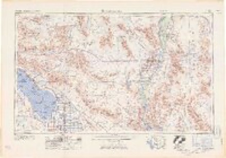
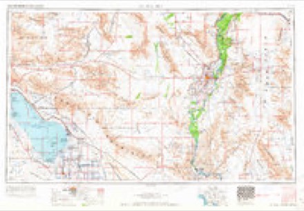
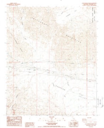
19 topographic sheets cover this place, the earliest surveyed in 1940 and the latest in 2003. It stands in the Chuckwalla Valley census division. The Survey maps it on the Cottonwood Basin quadrangle. It stands 1,667 feet above sea level.
Then and now
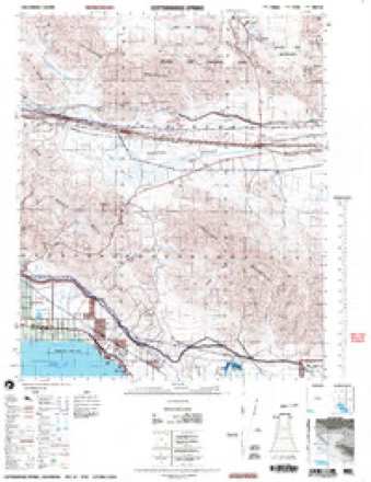
1940 to 2003The same ground, surveyed 63 years apart. Drag the handle to wipe between them. Both sheets are United States Geological Survey originals; neither has been altered.
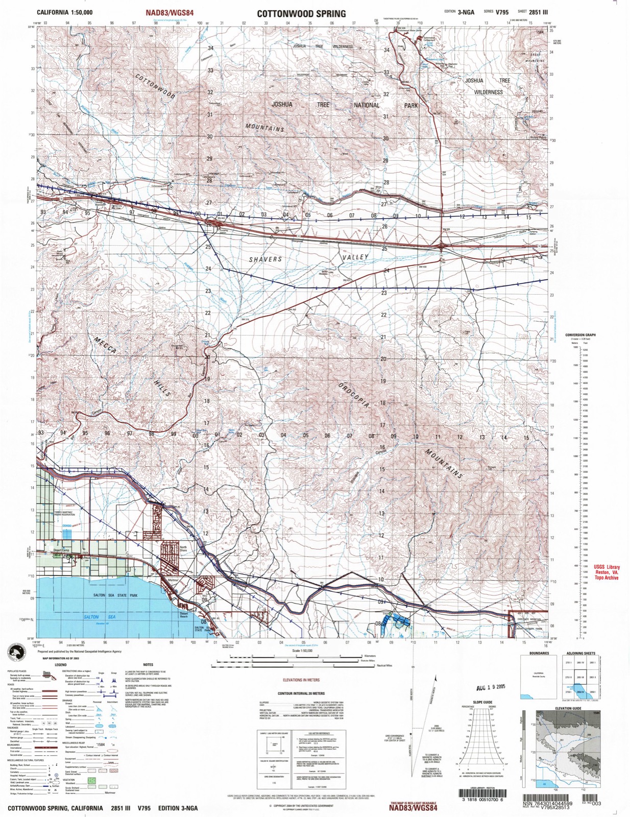
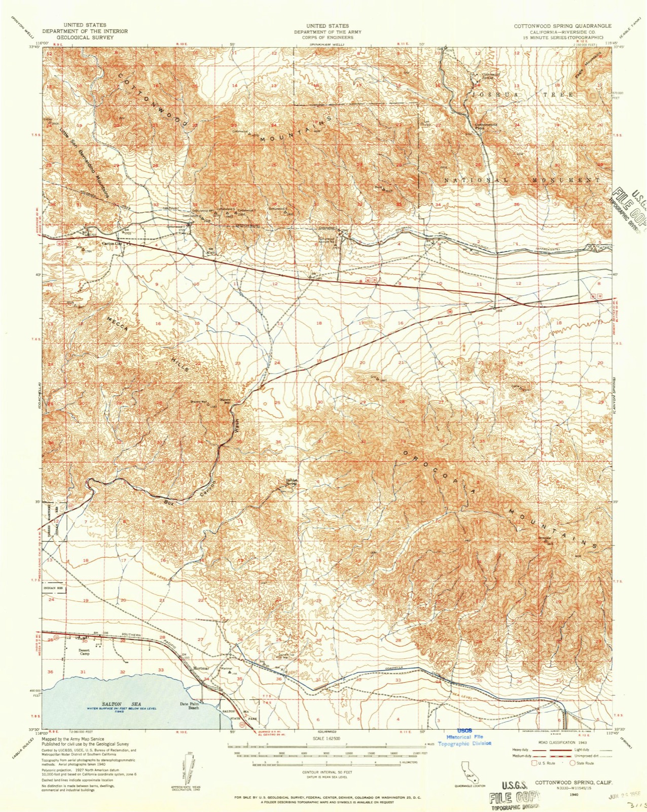
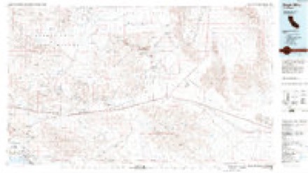
Topographic sheets covering this place
11 surveys from 19 printed sheetsMatched by testing this settlement's coordinate against the published boundary of every sheet in the United States Geological Survey's historical collection. Each opens the scanned sheet at the Survey.
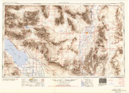
- 1940 USGS Cottonwood Spring quadrangle1:62500
- 1944 USGS Cottonwood Spring quadrangle1:62500
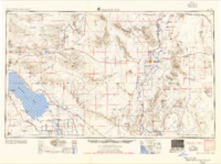
- 1954 USGS Salton Sea quadrangle1:250000
- 1955 USGS Salton Sea quadrangle1:250000, 2 printings
- 1958 USGS Cottonwood Spring quadrangle1:62500, 3 printings
- 1959 USGS Salton Sea quadrangle1:250000, 4 printings
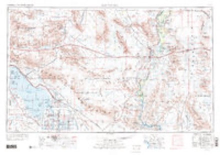
- 1963 USGS Salton Sea quadrangle1:250000
- 1965 USGS Salton Sea quadrangle1:250000
- 1986 USGS Eagle Mountains quadrangle1:100000, 2 printings
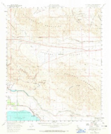
- 1988 USGS Cottonwood Basin quadrangle1:24000, 2 printings
- 2003 USGS Cottonwood Spring quadrangle1:50000
Fires near this place
53 since 1993Regional context, not property-specific evidence. The federal wildfire occurrence database lists 53 fires within 5 miles of Cactus City between 1993 and 2020, burning about 19 acres in total. 1 started naturally. 3 were recorded as arson. Distance is straight-line from the map coordinates, so a fire counted here may appear on a neighbouring settlement's page as well.
| Reported cause | Fires |
|---|---|
| Missing data/not specified/undetermined | 24 |
| Equipment and vehicle use | 18 |
| Smoking | 5 |
| Arson/incendiarism | 3 |
| Recreation and ceremony | 1 |
| Misuse of fire by a minor | 1 |
| Natural | 1 |
The most recent of them, most recent first, with the day each was reported and the service that recorded it.
| Date | Cause | Size | Reported by | Name on the report |
|---|---|---|---|---|
| 28 September 2017 | Equipment and vehicle use | under an acre | California Desert District | CACTUS |
| 25 September 1995 | Equipment and vehicle use | under an acre | Riverside Unit | LOCAL |
| 17 September 2007 | Equipment and vehicle use | under an acre | California Desert District | UNNAMED FIRE 2735 |
| 16 September 2007 | Equipment and vehicle use | under an acre | California Desert District | VAN |
| 16 September 1993 | Recreation and ceremony | 2.0 acres | Riverside Unit | LOCAL |
| 6 August 2014 | Equipment and vehicle use | under an acre | Riverside Unit | I 10 W/ FRONTAGE RD |
| 22 August 2011 | Equipment and vehicle use | under an acre | California Desert District | CACTUS |
| 2 August 2018 | Missing data/not specified/undetermined | under an acre | California Desert District | PAINTED |
Mines and quarries near this place
9 within 5 milesRegional context, not property-specific evidence. The federal mineral resources record lists 9 workings within 5 miles of Cactus City: 7 occurrences, 1 prospect, 1 unknown. None of them still produces. What was taken out: Manganese, Gold, REE, Thorium. Distance is straight-line from the map coordinates, so a quarry counted here may appear on a neighbouring settlement's page as well.
| Where | Site | Commodity | Status | Recorded |
|---|---|---|---|---|
| Desert View Claim | REE, Thorium | Prospect | ||
| Hidden Canyon Claim | Gold | Occurrence | ||
| Sand and Gravel Deposit | Sand and Gravel, Construction | Occurrence | ||
| Box Canyon Mine | Manganese | Occurrence | Psilomelane, Pyrolusite | |
| Box Canyon Prospect | Manganese | Unknown | 1942 | |
| Ebony Deposit | Manganese | Occurrence | ||
| Manganese Occurrence | Manganese | Occurrence | ||
| Noblette Manganese Claim | Manganese | Occurrence | ||
| Palo Verde Region | Manganese | Occurrence |
Storms near this place
6 since 2017Regional context, not property-specific evidence. The National Weather Service names Cactus City in 6 storm reports between 2017 and 2021: 6 flash flood. No death or injury is recorded in these reports. Each account below is quoted exactly as the forecast office filed it, from the NOAA Storm Events Database, and each date opens the federal record of that event.
| When | Event | Place named | Harm | What the report says |
|---|---|---|---|---|
| August 2018 | Flash Flood | Cactus City | $20,000 | Thunderstorms with locally heavy rain developed over portions of Joshua Tree National Park during the early to middle afternoon hours on August 16th. Some of the storms generated intense rain that led to episodes of flash flooding just south of the San Bernardino County line and 5 to 8 miles east of Lost Horse. According to a report from the public, at 1400PST significant flash flooding occurred near Skull Rock with water observed flowing across Park Boulevard. Shortly after that, at 1420PST, park and forest service personnel reported flash flooding as water 1 foot deep was flowing over Park Boulevard between Geology Tour Road and Sheep Pass campground. There were also numerous flows through all of the dirt roads leading to numerous washouts. Fortunately no accidents were reported as a result of the flash flooding. A Flash Flood Warning was issued for the area at 1254PST until 1600PST. |
| August 2018 | Flash Flood | Cactus City | $10,000 | Thunderstorms with locally heavy rain developed across portions of Joshua Tree National Park during the afternoon hours on August 16th; some of the stronger storms produced intense rain that led to an episode of flash flooding in the park. According to a report from the public, flash flooding was observed about 8 miles north of the Cottonwood Visitor's Center and along Pinto Basin Road. The flooding was between mile markers 10 and 20; most of the flows going across the road were spaced out between one and one and one half miles. The report indicated that the flooding occurred at about 1530PST. A Flash Flood Warning was issued for the area at 1504PST and was in effect through 1800MST. |
| July 2021 | Flash Flood | Cactus City | - | Officials with Joshua Tree National Park reported that vehicles traveling along Pinto Basin Road Between Fried Liver Wash and Turkey Flats were forced to turn around due to several inches of swiftly moving water flowing over the roadway due to running washes. No damage or injuries were reported. |
| July 2021 | Flash Flood | Cactus City | - | A video on social media showed several inches of water across the roadway along Park Boulevard and Pinto Basin Road in Joshua Tree National Park, impeding travel. The owner of the video reported that there was heavy flooding and roads washed out in multiple locations from the north entrance of the park to the south entrance. The location was approximated from the report in combination with known areas with low water crossings and flood prone areas along Park Boulevard and Pinto Basin Road. No damage or injuries were reported. |
| October 2018 | Flash Flood | Cactus City | - | CalTrans reported flash flooding on Interstate-10. The flooding was 1.5 ft deep and 12 ft wide over the interstate. |
| August 2017 | Flash Flood | Cactus City | - | Scattered thunderstorms developed across portions of eastern Riverside County, including Joshua Tree National Park, during the early afternoon hours on August 3rd. Some of the stronger storms produced locally heavy rainfall which led to an episode of flash flooding across the southern portion of Joshua Tree National Park. Radar indicated that some of the heaviest rain totals were about 2.5 inches and the intense rains caused washes in the park, such as Smoke Tree Wash, to flow heavily. According to park officials, the south entrance of Joshua Tree National Park was closed as of 1311PST due to the flooding. A Flash Flood Warning was issued and in effect at the time of the flooding and fortunately, no injuries were reported during the flooding. |
Nearest settlements
The eight closest, with where each one stands in the county. Distances are straight-line, computed from the Geographic Names Information System coordinates.
| Map | Place | Distance | Sheets |
|---|---|---|---|
| Mecca | 9.5 miles | 28 | |
| Thermal | 9.7 miles | 30 | |
| Desert Camp | 10.0 miles | 20 | |
| Caleb (historical) | 10.1 miles | 28 | |
| Mortmar | 10.9 miles | 20 | |
| Coachella | 11.1 miles | 30 | |
| Desert Beach | 11.6 miles | 20 | |
| Sandy Korner | 11.8 miles | 30 |
Elsewhere
Matched on this settlement's Geographic Names Information System number rather than its name, so it cannot be a different place of the same name in another state.
| Wikidata item Q5016146 | The structured record the population and elevation above come from. Public domain (CC0). |
Provenance
This settlement is recorded in the Geographic Names Information System as feature 1656446. The sheet list is computed by point-in-boundary test against the United States Geological Survey's historical topographic inventory. Both are works of the United States government and carry no copyright under 17 U.S.C. 105.
Wildfire. Short, Karen C. 2022. Spatial wildfire occurrence data for the United States, 1992-2020 [FPA_FOD_20221014]. 6th Edition. Fort Collins, CO: Forest Service Research Data Archive. https://doi.org/10.2737/RDS-2013-0009.6 Collected with United States Government funding and usable without additional permissions or fees.
Mines and quarries. USGS Mineral Resources Data System (MRDS) https://mrdata.usgs.gov/mrds/ A work of the United States government, no copyright under 17 U.S.C. 105.
Storms. NOAA National Centers for Environmental Information, Storm Events Database https://www.ncei.noaa.gov/stormevents/ A work of the United States government, no copyright under 17 U.S.C. 105. Narratives are quoted verbatim from the National Weather Service report and are not edited or summarised.