 Block
BlockMortmar, California
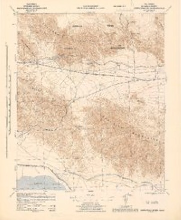
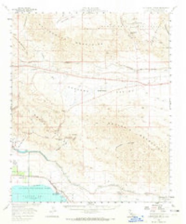
20 topographic sheets cover this place, the earliest surveyed in 1940 and the latest in 2003. It stands in the Coachella Valley census division. It lies in ZIP code area 92254. The Survey maps it on the Mortmar quadrangle. It lies 197 feet below sea level.
Then and now
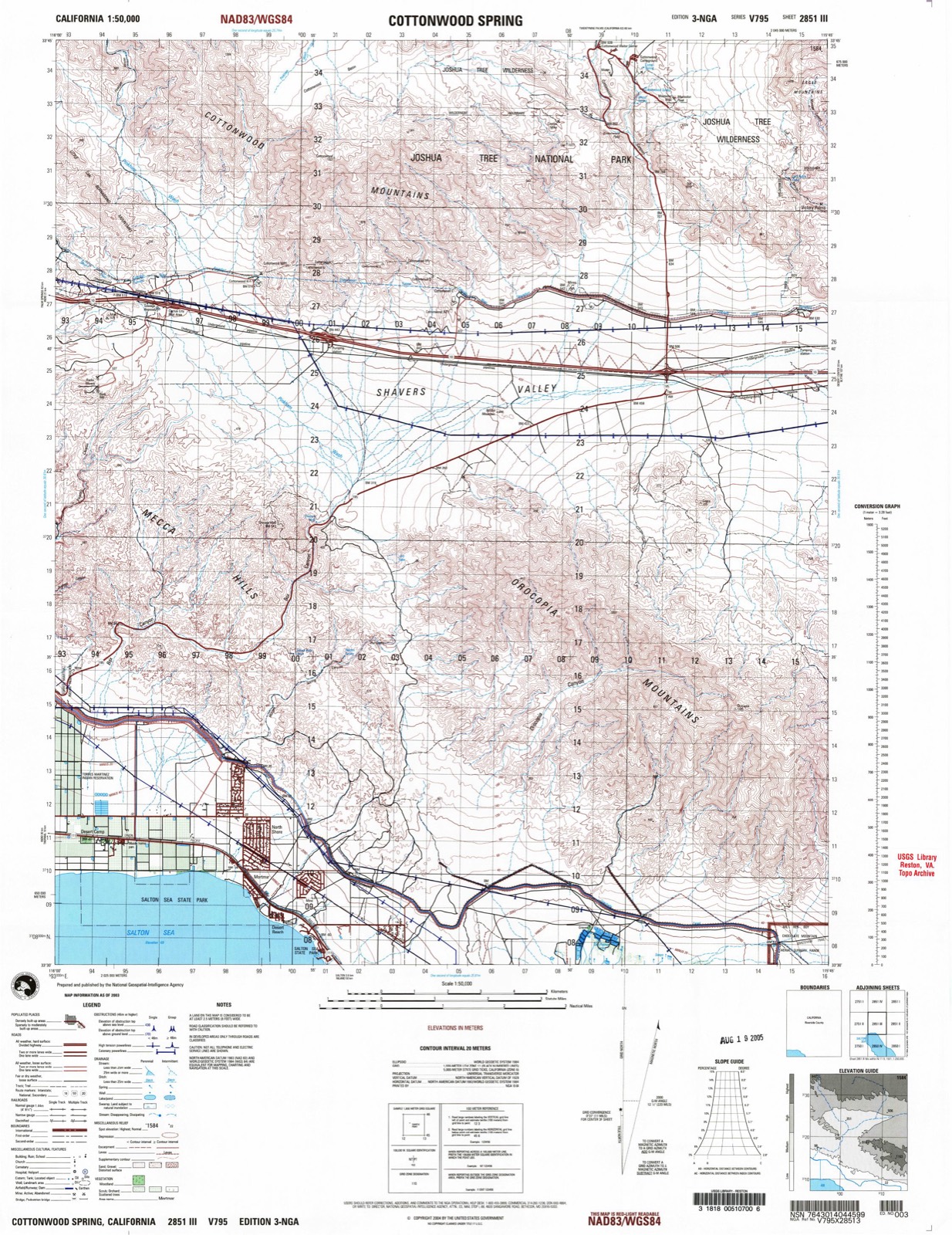
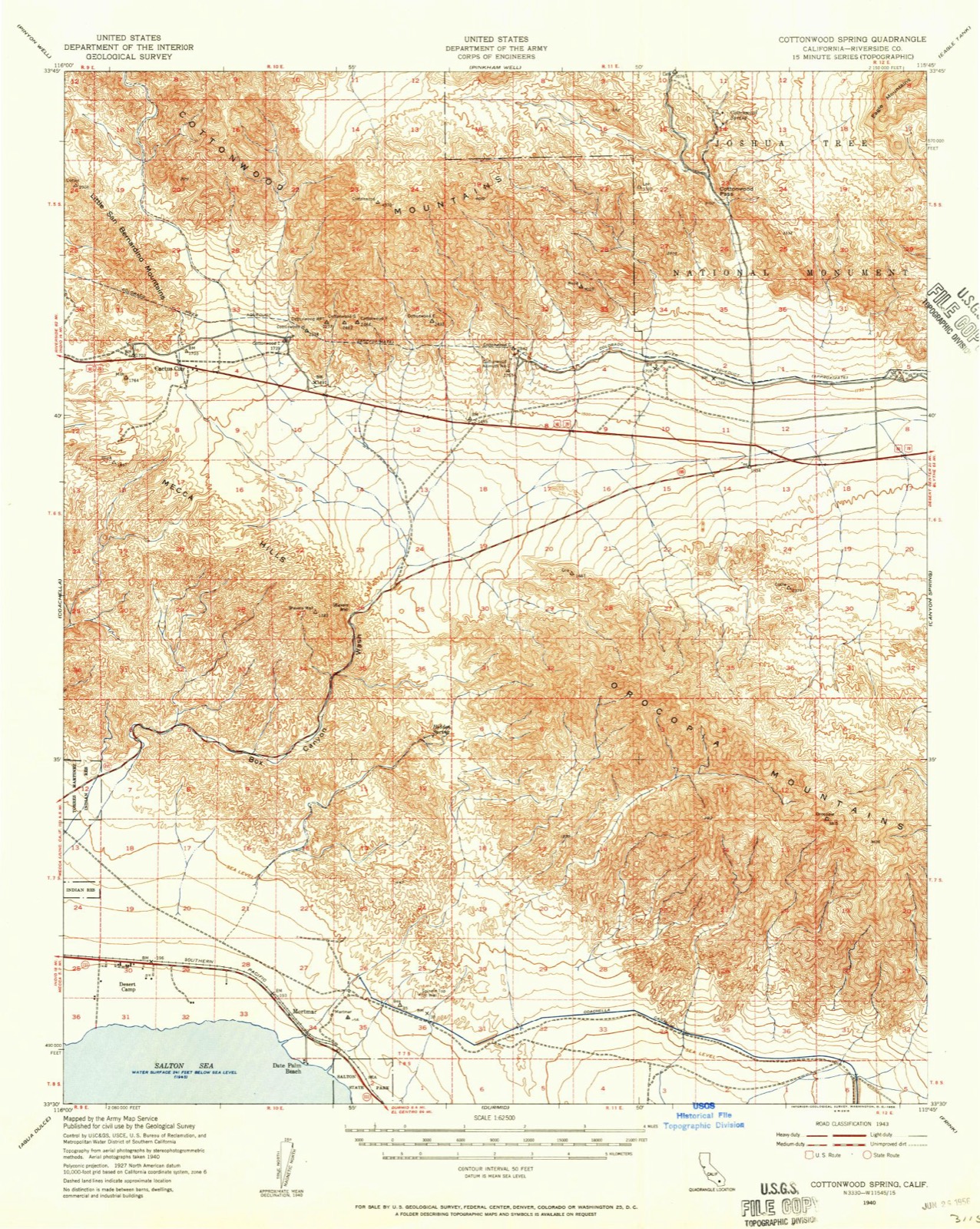
1940 to 2003The same ground, surveyed 63 years apart. Drag the handle to wipe between them. Both sheets are United States Geological Survey originals; neither has been altered.
On record in Mortmar
Buildings and businesses the archive holds for this place. Each opens its own page, with the source record it came from.
On the National Register within a mile 1 record
The National Register names another town for these. They stand within one mile of this settlement's coordinate.
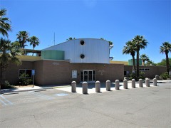 North Shore Yacht Clublisted 2015 · 0.0 miles away
Topographic sheets covering this place
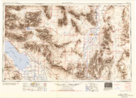
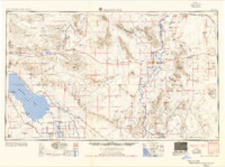
11 surveys from 20 printed sheetsMatched by testing this settlement's coordinate against the published boundary of every sheet in the United States Geological Survey's historical collection. Each opens the scanned sheet at the Survey.
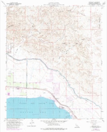
- 1940 USGS Cottonwood Spring quadrangle1:62500
- 1944 USGS Cottonwood Spring quadrangle1:62500
- 1954 USGS Salton Sea quadrangle1:250000
- 1955 USGS Salton Sea quadrangle1:250000, 2 printings
- 1958 USGS Cottonwood Spring quadrangle1:62500, 3 printings
- 1958 USGS Mortmar quadrangle1:24000, 3 printings
- 1959 USGS Salton Sea quadrangle1:250000, 4 printings
- 1963 USGS Salton Sea quadrangle1:250000
- 1965 USGS Salton Sea quadrangle1:250000
- 1986 USGS Eagle Mountains quadrangle1:100000, 2 printings
- 2003 USGS Cottonwood Spring quadrangle1:50000
Fires near this place
207 since 1992Regional context, not property-specific evidence. The federal wildfire occurrence database lists 207 fires within 5 miles of Mortmar between 1992 and 2020, burning about 312 acres in total. 1 started naturally. 28 were recorded as arson. Distance is straight-line from the map coordinates, so a fire counted here may appear on a neighbouring settlement's page as well.
| Reported cause | Fires |
|---|---|
| Missing data/not specified/undetermined | 121 |
| Arson/incendiarism | 28 |
| Equipment and vehicle use | 27 |
| Debris and open burning | 13 |
| Misuse of fire by a minor | 8 |
| Smoking | 5 |
| Railroad operations and maintenance | 2 |
| Recreation and ceremony | 2 |
| Natural | 1 |
The most recent of them, most recent first, with the day each was reported and the service that recorded it.
| Date | Cause | Size | Reported by | Name on the report |
|---|---|---|---|---|
| 9 September 1992 | Equipment and vehicle use | 3.0 acres | Riverside Unit | LOCAL |
| 6 September 2007 | Missing data/not specified/undetermined | under an acre | California Desert District | UNNAMED FIRE 2717 |
| 5 September 2018 | Missing data/not specified/undetermined | under an acre | California Department of Forestry & Fire Protection | VANDER VEER RD / SEA VIEW |
| 5 September 2012 | Equipment and vehicle use | under an acre | California Desert District | KIA |
| 27 September 2004 | Missing data/not specified/undetermined | 2.0 acres | California Desert District | DUROS |
| 19 September 2015 | Missing data/not specified/undetermined | 1.0 acres | Riverside Unit | PARKSIDE DR / HY 111 |
| 18 September 2015 | Missing data/not specified/undetermined | 1.0 acres | Riverside Unit | PARKSIDE |
| 18 September 2015 | Missing data/not specified/undetermined | under an acre | Riverside Unit | HY 111 / BAY DR |
Settlements close enough to share some of these fires:
Mines and quarries near this place
2 within 5 milesRegional context, not property-specific evidence. The federal mineral resources record lists 2 workings within 5 miles of Mortmar: 2 past producers. None of them still produces. What was taken out: Sand and Gravel, Construction. Distance is straight-line from the map coordinates, so a quarry counted here may appear on a neighbouring settlement's page as well.
| Where | Site | Commodity | Status | Recorded |
|---|---|---|---|---|
| Gravel Pit | Sand and Gravel, Construction | Past Producer | ||
| Gravel Pit | Sand and Gravel, Construction | Past Producer |
Storms near this place
9 since 2011Regional context, not property-specific evidence. The National Weather Service names Mortmar in 9 storm reports between 2011 and 2023: 7 flash flood, 1 thunderstorm wind, 1 heavy rain. The reports record 1 death. Each account below is quoted exactly as the forecast office filed it, from the NOAA Storm Events Database, and each date opens the federal record of that event.
| When | Event | Place named | Harm | What the report says |
|---|---|---|---|---|
| September 2018 | Flash Flood | Mortmar | 1 killed, $50,000 | Thunderstorms with very heavy rain developed across portions of eastern Riverside County during the evening hours on September 30th. The stronger storms produced intense rain that led to flash flooding to the southwest of Joshua Tree National Park and to the north of the Salton Sea. At 1925PST (2025 PDT) the California Highway Patrol reported that Box Canyon Road was closed at the Mecca Copia Trail due to flash flooding. Significant impacts were reported to have occurred further downstream. Major damage was reportedly done to the Box Canyon Road forcing the road to be closed for days. It was also reported that a man was swept to his death driving along Box Canyon Road between Interstate 10 and Highway 111. He was returning from a camping trip in Joshua Tree National Park. His damaged car was found by the road later the next day with no trace of the man to be found. A Flash Flood Warning was issued for the area at 1909MST and it remained in effect until 2215MST. |
| August 2021 | Thunderstorm Wind | Mortmar | $75,000 | A local newspaper reported that the Imperial Irrigation District estimated that approximately 33 power poles had been destroyed in the North Shore area as a result of thunderstorm wind gusts upwards of 60 mph. Photos showed numerous wooden power poles snapped in this area. Residents in this area were without power for several days. Timing and magnitude of winds were estimated using radar and nearby wind observations. No injuries were reported. |
| September 2011 | Flash Flood | Mortmar | $75,000 | Thunderstorms with locally heavy rainfall developed across portions of central Riverside county, from Joshua Tree National Park south to the Salton Sea. Radar estimated that at least 3 inches of rain fell in areas west of Chiriaco Summit since 6 am. The heavy rain led to flash flooding near the north side of the Salton Sea, east of Desert Beach. Law enforcement personnel reported that the flash flooding washed out a bridge on Highway 111 and Desert Beach Drive. |
| September 2023 | Flash Flood | Mortmar | $20,000 | Incident report from California Highway Patrol of a compromised bridge along Hwy-111 near Mecca Ave being washed out due to flooding. Also a report of a trapped party along Club View Dr. In this same area there was also a report of 2-3 vehicles being taken out by flash flooding. Additional flooding led to Hwy-111 being closed down to the Imperial county line. No injuries or damages were reported. |
| August 2014 | Flash Flood | Mortmar | $10,000 | Thunderstorms developed across portions of central Riverside county during the late morning hours on August 3rd, and they produced locally heavy rainfall which led to flash flooding. Some of the more significant flooding occurred along the Interstate 10 corridor to the south of the Cottonwood Visitor's Center. According to the California Department of Highways, at approximately 1327PST, flash flooding spread dirt and debris onto the roadway at exit 162 on Interstate 10 and the Frontage Road. The roadway was also flooded, approximately 9 miles to the southwest of the Cottonwood Visitor's Center. |
| July 2021 | Flash Flood | Mortmar | $5,000 | According to local officials, Box Canyon Road near Shavers Well was closed due to sand and rock debris across the road due to flooding. Emergency Management also reported that flooding caused some shoulder damage along the road. Timing was estimated from the first call to California Highway Patrol regarding Box Canyon Road at 0408PDT. No injuries were reported. |
| September 2023 | Heavy Rain | Mortmar | - | Heavy rain fell across the Coachella Valley on September 1st, with totals of 0.50-1.50 common across the region. Some localized higher totals include 2.83 at Kent Sea FMS (KSFC1), 1.97 at an observation site 2 miles southeast of Thermal (WRPC1), and 1.22 at Morongo Valley (MSKC1). |
| August 2021 | Flash Flood | Mortmar | - | The California Highway Patrol reported that Sea View Way in the North Shore area was closed due to flooding. Timing was estimated using radar. No damage or injuries were reported. |
| July 2012 | Flash Flood | Mortmar | - | Intense thunderstorms developed across much of eastern Riverside county during the morning hours on July 31st. The airmass was very moist and unstable, and the presence of a weather disturbance led to excessive rainfall with rain rates in excess of 2 inches per hour. The heavy rain led to episodes of flash flooding, and a Flash Flood Warning was issued for most of eastern Riverside county at 1015 am. According to the California Department of Highways, or Cal Trans, at 1230 pm flash flooding was observed in Box Canyon, and Box Canyon road was closed. |
Nearest settlements
The eight closest, with where each one stands in the county. Distances are straight-line, computed from the Geographic Names Information System coordinates.
| Map | Place | Distance | Sheets |
|---|---|---|---|
| Desert Beach | 0.8 miles | 20 | |
| Desert Camp | 2.6 miles | 20 | |
| Salton | 4.3 miles | 20 | |
| Caleb (historical) | 4.3 miles | 28 | |
| Rancho Dos Palmas | 5.8 miles | 21 | |
| Ferrum | 5.9 miles | 21 | |
| Mecca | 8.2 miles | 28 | |
| Durmid | 8.3 miles | 21 |
Elsewhere
Matched on this settlement's Geographic Names Information System number rather than its name, so it cannot be a different place of the same name in another state.
| Wikidata item Q6914784 | The structured record the population and elevation above come from. Public domain (CC0). |
Provenance
This settlement is recorded in the Geographic Names Information System as feature 1661064. The sheet list is computed by point-in-boundary test against the United States Geological Survey's historical topographic inventory. Both are works of the United States government and carry no copyright under 17 U.S.C. 105.
Wildfire. Short, Karen C. 2022. Spatial wildfire occurrence data for the United States, 1992-2020 [FPA_FOD_20221014]. 6th Edition. Fort Collins, CO: Forest Service Research Data Archive. https://doi.org/10.2737/RDS-2013-0009.6 Collected with United States Government funding and usable without additional permissions or fees.
Mines and quarries. USGS Mineral Resources Data System (MRDS) https://mrdata.usgs.gov/mrds/ A work of the United States government, no copyright under 17 U.S.C. 105.
Storms. NOAA National Centers for Environmental Information, Storm Events Database https://www.ncei.noaa.gov/stormevents/ A work of the United States government, no copyright under 17 U.S.C. 105. Narratives are quoted verbatim from the National Weather Service report and are not edited or summarised.