 Block
BlockGlamis, California
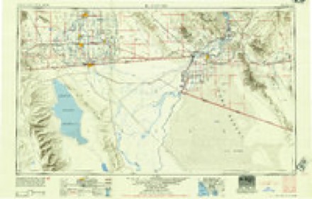
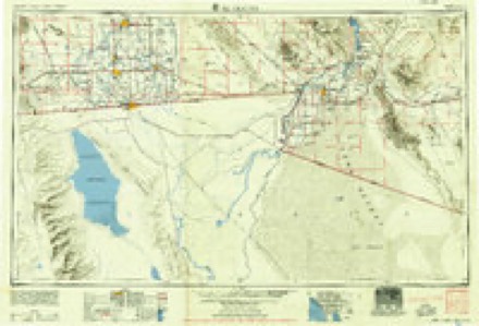
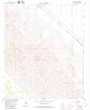
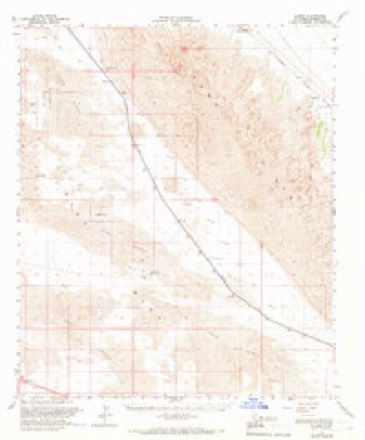
21 topographic sheets cover this place, the earliest surveyed in 1907 and the latest in 1989. It stands in the East Imperial census division. It lies in ZIP code area 92227. The Survey maps it on the Glamis quadrangle. It stands 400 feet above sea level.
Then and now
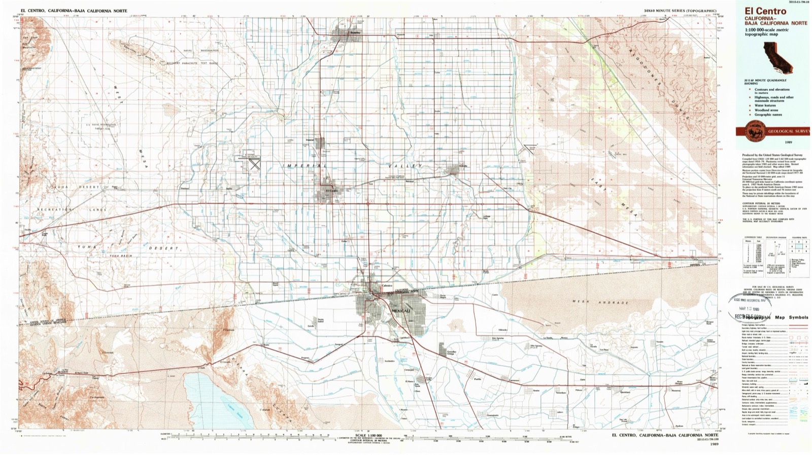
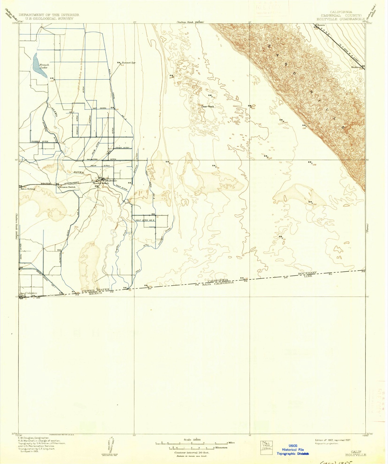
1907 to 1989The same ground, surveyed 82 years apart. Drag the handle to wipe between them. Both sheets are United States Geological Survey originals; neither has been altered.
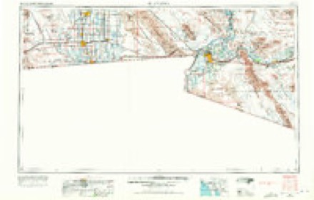
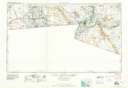
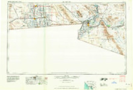
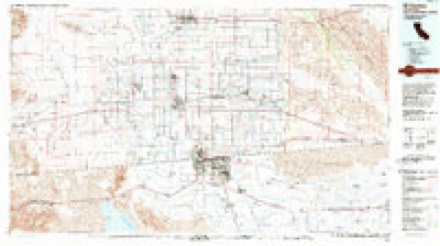
Topographic sheets covering this place
10 surveys from 21 printed sheetsMatched by testing this settlement's coordinate against the published boundary of every sheet in the United States Geological Survey's historical collection. Each opens the scanned sheet at the Survey.
- 1907 USGS Holtville quadrangle1:125000, 4 printings
- 1942 USGS El Centro quadrangle1:250000, 2 printings
- 1954 USGS El Centro quadrangle1:250000
- 1955 USGS El Centro quadrangle1:250000
- 1955 USGS Glamis quadrangle1:24000, 4 printings
- 1955 USGS Glamis quadrangle1:62500, 2 printings
- 1958 USGS El Centro quadrangle1:250000, 4 printings
- 1961 USGS El Centro quadrangle1:250000
- 1964 USGS El Centro quadrangle1:250000
- 1989 USGS El Centro quadrangle1:100000
Fires near this place
27 since 1993Regional context, not property-specific evidence. The federal wildfire occurrence database lists 27 fires within 5 miles of Glamis between 1993 and 2020, burning about 63 acres in total. 1 started naturally. 4 were recorded as arson. Distance is straight-line from the map coordinates, so a fire counted here may appear on a neighbouring settlement's page as well.
| Reported cause | Fires |
|---|---|
| Equipment and vehicle use | 13 |
| Recreation and ceremony | 6 |
| Arson/incendiarism | 4 |
| Missing data/not specified/undetermined | 3 |
| Natural | 1 |
The most recent of them, most recent first, with the day each was reported and the service that recorded it.
| Date | Cause | Size | Reported by | Name on the report |
|---|---|---|---|---|
| 17 August 2010 | Equipment and vehicle use | under an acre | California Desert District | HAY |
| 24 June 1993 | Recreation and ceremony | 60 acres | Joshua Tree National Monument | BRAWLEY |
| 4 May 2003 | Arson/incendiarism | under an acre | Colorado River District | SPIKE |
| 14 February 2015 | Equipment and vehicle use | under an acre | California Desert District | RAIL |
| 13 February 2015 | Equipment and vehicle use | under an acre | California Desert District | SAND |
| 31 December 2010 | Arson/incendiarism | under an acre | California Desert District | TRASH |
| 30 December 2005 | Missing data/not specified/undetermined | under an acre | California Desert District | SANDRAIL |
| 1 December 2002 | Recreation and ceremony | under an acre | California Desert District | TREE |
Settlements close enough to share some of these fires:
Mines and quarries near this place
8 within 5 milesRegional context, not property-specific evidence. The federal mineral resources record lists 8 workings within 5 miles of Glamis: 7 producers, 1 past producer. 7 still produce. What was taken out: Sand and Gravel, Construction, Manganese. Distance is straight-line from the map coordinates, so a quarry counted here may appear on a neighbouring settlement's page as well.
| Where | Site | Commodity | Status | Recorded |
|---|---|---|---|---|
| Anson Prospect | Manganese | Producer | ||
| Anson Prospect | Manganese | Past Producer | ||
| All American Aggregates Pit | Sand and Gravel, Construction | Producer | ||
| Beachline Pit | Sand and Gravel, Construction | Producer | ||
| Elms Pit | Sand and Gravel, Construction | Producer | ||
| Glamis Pit | Sand and Gravel, Construction | Producer | ||
| Glamis Pit | Sand and Gravel, Construction | Producer | ||
| Hastings Pit | Sand and Gravel, Construction | Producer |
Storms near this place
15 since 1998Regional context, not property-specific evidence. The National Weather Service names Glamis in 15 storm reports between 1998 and 2025: 9 flash flood, 2 thunderstorm wind, 1 funnel cloud, 1 heavy rain. No death or injury is recorded in these reports. Each account below is quoted exactly as the forecast office filed it, from the NOAA Storm Events Database, and each date opens the federal record of that event.
| When | Event | Place named | Harm | What the report says |
|---|---|---|---|---|
| January 2021 | Flash Flood | Glamis | $30,000 | An upper low just off the northern coast of Baja California spread considerable deep moisture into Imperial County on January 20th and the deep moisture combined with modest instability to allow for widespread showers across eastern Imperial County. Isolated thunderstorms embedded within the rain caused rain rates to become moderate to heavy and flash flooding developed east of the Imperial Valley. According to local law enforcement, at 12:18 PST flash flooding on Highway 78 resulted in vehicles becoming stranded on the road about 5 miles east of the town of Glamis. There were no reports of any injuries to the motorists. A Flash Flood Watch was in effect at the time of the flash flooding. |
| September 2019 | Flash Flood | Glamis | $2,000 | Scattered showers and thunderstorms developed across eastern portions of Imperial County during the afternoon hours on September 25th. Some of the stronger storms generated very heavy rain with peak rain rates in excess of one inch per hour. The heavy rain led to some flash flooding around the town of Glamis. According to the California Highway Patrol, at about 1544MST flash flooding forced the closure of State Route 78 at Ted Kipf Road, about one mile east of town. No accidents were reported due to the flooding. A Flash Flood Warning had been issued prior to the report of the flash flooding. |
| November 2019 | Flash Flood | Glamis | $1,000 | Widespread showers and isolated thunderstorms developed over eastern portions of Imperial County during the evening hours on November 19th, resulting in some flooding and flash flooding. Flash flooding eventually led to road closures shortly after midnight on the 20th. According to a public report, at 0019PST Ogilby Road was closed due to flooding at State Route 78, and the report was bases on a CALTRANS quickmap. There were no reports of accidents due to the flooding or road closures. |
| September 2025 | Flash Flood | Glamis | - | Ogliby Road closed due to flooding. No damages or injuries reported. |
| September 2025 | Flash Flood | Glamis | - | Ogilby road closed due to flooding. No damages or injuries reported. |
| January 2024 | Flood | Glamis | - | Ogilby Road closed between Interstate 8 and State Route 78 due to overflowing washes causing flooding on the road. No damages or injuries were reported. |
| September 2023 | Flash Flood | Glamis | - | An incident report from California Highway Patrol said that multiple vehicles were stopped due to flooding on Highway 78. No injuries or damages were reported. |
| September 2023 | Flash Flood | Glamis | - | Hwy-78 was closed between the Imperial and Riverside County line and Ogilby Rd due to many flooded washes. Many vehicles were stopped along the highway due to impassable flooded washes. Hwy-78 did not fully reopen until the morning of September 3rd due to debris cleanup. No injuries or damages were reported. |
| August 2022 | Flash Flood | Glamis | - | Highway 78 near Milepost 53 was flooded, with multiple vehicles stuck in the floodwaters. No damages or injuries were reported. |
| August 2003 | Thunderstorm Wind | Glamis | - | Winds measured at Cahuilla RAWS site. |
| August 2001 | Flash Flood | Glamis | - | Strong thunderstorms with very heavy rainfall caused washes and secondary roads to be flooded quickly. A camp ground near Senator Wash Reservoir flooded and campers moved to higher ground to escape the flood waters. State Highway 78, between Glamis and and S34 Ogilby Road, was closed due to the flood waters. |
| October 2000 | Heavy Rain | Glamis | - | News program reported a train derailment near Glamis due to water undercutting the tracks. |
| August 2000 | Tornado (F0) | Glamis | - | Motorist reported tornado near Glamis, lasting about 15 minutes before it roped out and dissipated. |
| August 2004 | Thunderstorm Wind | Glamis | - | no account filed |
| February 1998 | Funnel Cloud | Glamis | - | no account filed |
Nearest settlements
The eight closest, with where each one stands in the county. Distances are straight-line, computed from the Geographic Names Information System coordinates.
Elsewhere
Matched on this settlement's Geographic Names Information System number rather than its name, so it cannot be a different place of the same name in another state.
| Wikipedia article on Glamis | An encyclopaedic summary. Its text is share-alike, so it is linked here rather than copied. |
| Wikidata item Q14682023 | The structured record the population and elevation above come from. Public domain (CC0). |
Provenance
This settlement is recorded in the Geographic Names Information System as feature 242720. The sheet list is computed by point-in-boundary test against the United States Geological Survey's historical topographic inventory. Both are works of the United States government and carry no copyright under 17 U.S.C. 105.
Wildfire. Short, Karen C. 2022. Spatial wildfire occurrence data for the United States, 1992-2020 [FPA_FOD_20221014]. 6th Edition. Fort Collins, CO: Forest Service Research Data Archive. https://doi.org/10.2737/RDS-2013-0009.6 Collected with United States Government funding and usable without additional permissions or fees.
Mines and quarries. USGS Mineral Resources Data System (MRDS) https://mrdata.usgs.gov/mrds/ A work of the United States government, no copyright under 17 U.S.C. 105.
Storms. NOAA National Centers for Environmental Information, Storm Events Database https://www.ncei.noaa.gov/stormevents/ A work of the United States government, no copyright under 17 U.S.C. 105. Narratives are quoted verbatim from the National Weather Service report and are not edited or summarised.