 Block
BlockPalo Verde, California
24 topographic sheets cover this place, the earliest surveyed in 1942 and the latest in 1986. It stands in the East Imperial census division. It lies in ZIP code area 92266. The Survey maps it on the Palo Verde quadrangle. 152 people lived here at the 2020 count. It stands 233 feet above sea level.
Then and now
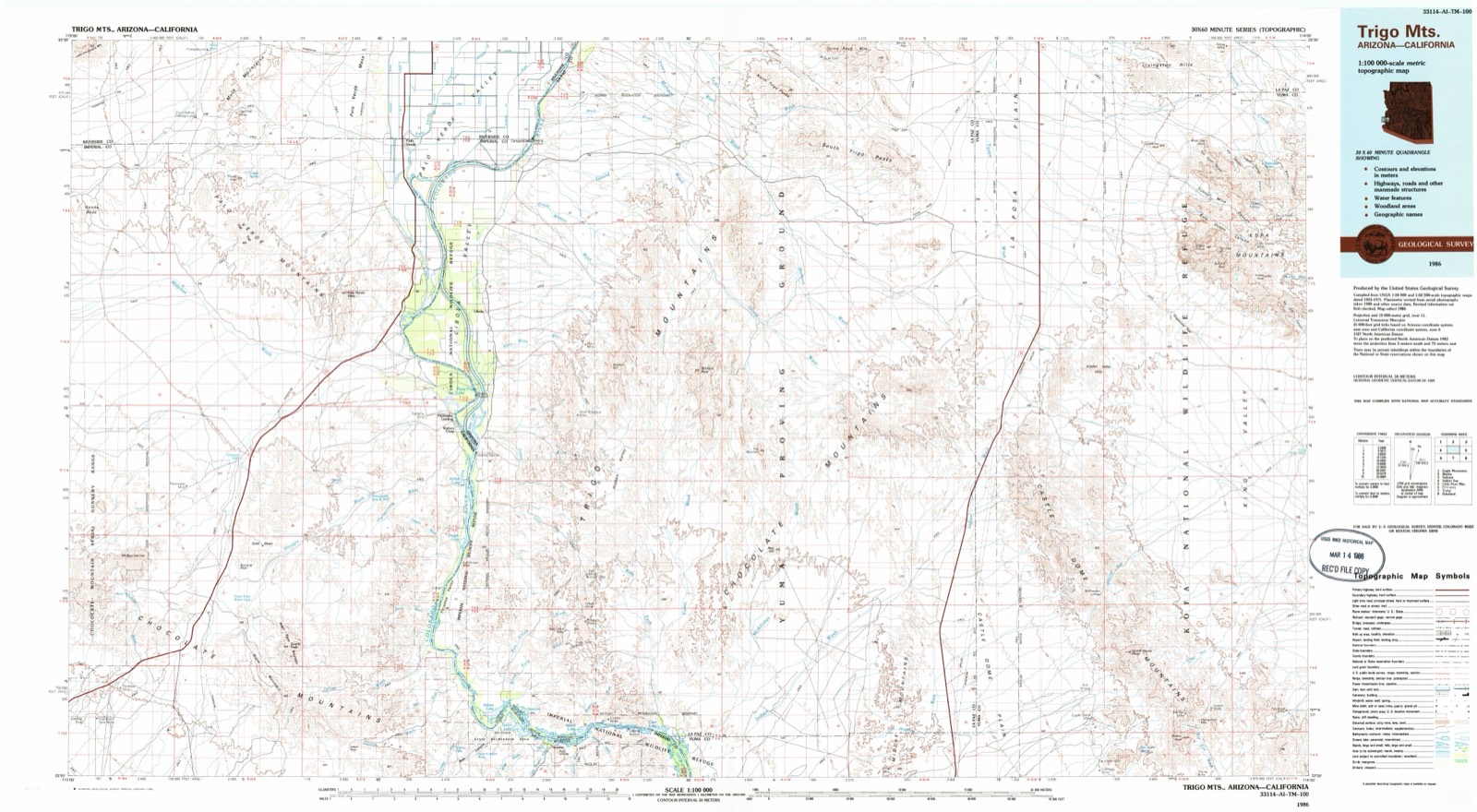
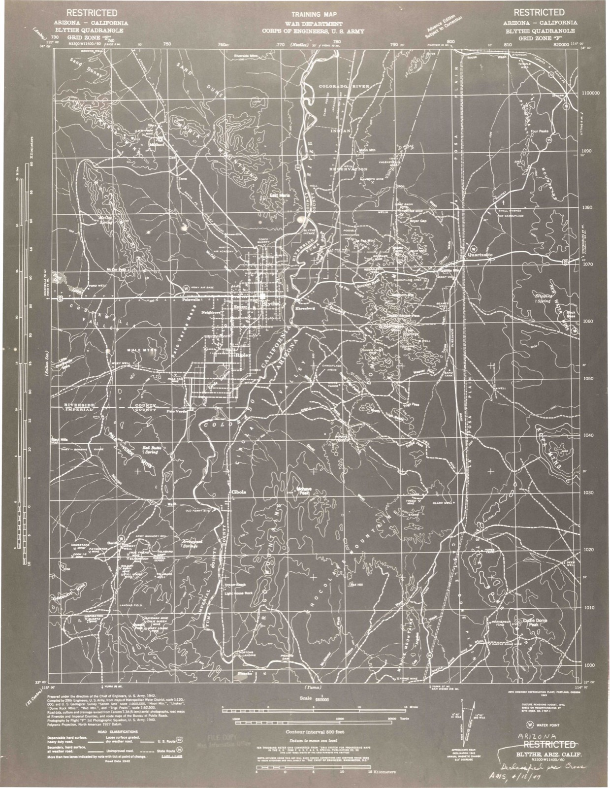
1942 to 1986The same ground, surveyed 44 years apart. Drag the handle to wipe between them. Both sheets are United States Geological Survey originals; neither has been altered.
Population over time
2 figuresPalo Verde fell from 171 to 152 between 2010 and 2020. These are the recorded population figures Wikidata holds for this place, reached through the Geographic Names Information System number this page is keyed on rather than by name, so they belong to this place and not to another of the same name. Most are census counts, but not all are: an early figure may be a founding or settlement estimate, and an estimate published within five years of a census is left out. The change column is computed, and is left blank where more than 20 years separate a figure from the one before it, because a gap that long is not a change between two counts.
| Year | People | Change |
|---|---|---|
| 2010 | 171 | |
| 2020 | 152 | -19 (-11%) |
Topographic sheets covering this place
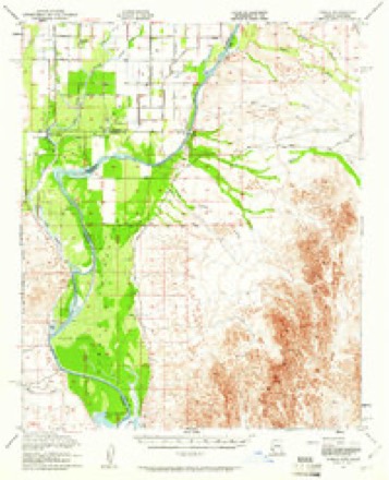
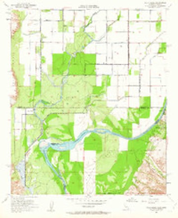
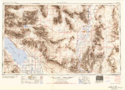
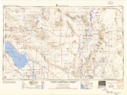
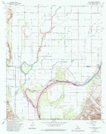
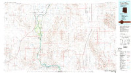
11 surveys from 24 printed sheetsMatched by testing this settlement's coordinate against the published boundary of every sheet in the United States Geological Survey's historical collection. Each opens the scanned sheet at the Survey.
- 1942 USGS Blythe quadrangle1:250000, 2 printings
- 1945 USGS Cibola quadrangle1:62500
- 1951 USGS Cibola quadrangle1:62500, 3 printings
- 1952 USGS Palo Verde quadrangle1:24000, 3 printings
- 1954 USGS Salton Sea quadrangle1:250000
- 1955 USGS Salton Sea quadrangle1:250000, 2 printings
- 1959 USGS Salton Sea quadrangle1:250000, 4 printings
- 1963 USGS Salton Sea quadrangle1:250000
- 1965 USGS Palo Verde quadrangle1:24000, 4 printings
- 1965 USGS Salton Sea quadrangle1:250000
- 1986 USGS Trigo Mts quadrangle1:100000, 2 printings
Fires near this place
40 since 1992Regional context, not property-specific evidence. The federal wildfire occurrence database lists 40 fires within 5 miles of Palo Verde between 1992 and 2020, burning about 1,060 acres in total. 6 started naturally. 2 were recorded as arson. Distance is straight-line from the map coordinates, so a fire counted here may appear on a neighbouring settlement's page as well.
| Reported cause | Fires |
|---|---|
| Missing data/not specified/undetermined | 14 |
| Debris and open burning | 12 |
| Natural | 6 |
| Recreation and ceremony | 3 |
| Equipment and vehicle use | 3 |
| Arson/incendiarism | 2 |
The most recent of them, most recent first, with the day each was reported and the service that recorded it.
| Date | Cause | Size | Reported by | Name on the report |
|---|---|---|---|---|
| 8 August 2011 | Equipment and vehicle use | under an acre | Riverside Unit | HY 78 / 35TH AV |
| 29 August 1992 | Debris and open burning | under an acre | Colorado River District | CIBOLA 1 |
| 22 August 1993 | Missing data/not specified/undetermined | 1.0 acres | Arizona Department of Forestry and Fire Management - State Office | not named |
| 18 August 2013 | Missing data/not specified/undetermined | under an acre | Riverside Unit | 34TH |
| 17 August 2002 | Missing data/not specified/undetermined | under an acre | Colorado River District | OXBOW |
| 16 August 1998 | Natural | 15 acres | Riverside Unit | LOCAL FIRE |
| 13 August 2020 | Recreation and ceremony | 1.0 acres | Colorado River District | PALO VERDE |
| 11 August 2006 | Natural | 3.0 acres | Riverside Unit | LOCAL VEGETATION |
Mines and quarries near this place
8 within 5 milesRegional context, not property-specific evidence. The federal mineral resources record lists 8 workings within 5 miles of Palo Verde: 4 occurrences, 3 past producers, 1 unknown. None of them still produces. What was taken out: Manganese, Semiprecious Gemstone, Gold, Geothermal. Distance is straight-line from the map coordinates, so a quarry counted here may appear on a neighbouring settlement's page as well.
| Where | Site | Commodity | Status | Recorded |
|---|---|---|---|---|
| Gravel Pit | Sand and Gravel, Construction | Past Producer | ||
| Unknown | Geothermal | Unknown | ||
| La Esperanyo | Manganese | Past Producer | ||
| Lobo | Manganese | Past Producer | ||
| Potato Patch Beds | Semiprecious Gemstone | Occurrence | ||
| Punch | Gold | Occurrence | ||
| Senate | Gold | Occurrence | ||
| Twin Buttes Agate Fields | Semiprecious Gemstone | Occurrence |
Storms near this place
18 since 2007Regional context, not property-specific evidence. The National Weather Service names Palo Verde in 18 storm reports between 2007 and 2025: 14 flash flood, 3 thunderstorm wind, 1 flood. The reports record 2 deaths. Each account below is quoted exactly as the forecast office filed it, from the NOAA Storm Events Database, and each date opens the federal record of that event.
| When | Event | Place named | Harm | What the report says |
|---|---|---|---|---|
| August 2021 | Flash Flood | Palo Verde | 2 killed, $5,000 | Very heavy rainfall occurred along SR 78 in northeast Imperial County with amounts estimated to be approaching 7 inches in some places. This resulted in considerable flooding along the highway. The California Highway Patrol reported that a vehicle was swept off SR 78 at Milpitas Wash before overturning in the wash. Both occupants perished in the flash flood. |
| September 2007 | Thunderstorm Wind | Palo Verde | $4,000,000 | Very strong, straight line winds caused significant damage to many homes and businesses including a fire station. The storm motion was toward the northeast. Power lines and poles were downed and many trees were uprooted.|Storm survey data indicated the most significant damage was about 651 pm PDT. |
| August 2021 | Flash Flood | Palo Verde | $1,000,000 | Thunderstorms produced very heavy rainfall across northeast portions of Imperial County where nearly 7 inches of rain was estimated to have fallen in a 5 hour period. The Cibola RAWS site recorded 1.58 inches of rain between 1348PDT and 1548PDT. As a result, extensive flooding occurred along SR 78 from Palo Verde and areas south, damaging the road and leading to an extended closure for repairs. |
| March 2020 | Flash Flood | Palo Verde | $60,000 | Scattered showers and thunderstorms, some with locally heavy rain, developed and moved slowly across far eastern portions of Imperial County during the afternoon hours on March 12th. The heavy rain led to an episode of flash flooding just west of the lower Colorado River Valley and along State Route 78. According to a reports from the public and Caltrans, at about 1708PST, a vehicle was swept away in a flash flood along State Route 78 about 10 miles south-southwest of Palo Verde. There were multiple people in the vehicle however the California Highway Patrol reported that all of the people were rescued and were in good condition. A Flash Flood Warning was in effect at the time of the rescue. Additionally, at 1926PST local law enforcement reported that multiple vehicles were stuck in or near flood waters at the intersection of State Route 78 and Milpitas Wash Road. This was in the same area as the previous rescue. |
| July 2015 | Flash Flood | Palo Verde | $50,000 | Scattered thunderstorms continued to develop across portions of eastern Imperial county during the evening hours on July 19th. Due to an infusion of tropical moisture from former hurricane Dolores, some of the storms produced torrential rainfall which led to localized flash flooding. Peak rain rates were well in excess of 3 inches per hour. At 1843PST, the California Highway Patrol reported that a portion of highway 78 to the southwest of Cibola was washed out due to flash flooding and as a result the highway was closed. |
| August 2021 | Flash Flood | Palo Verde | $10,000 | Highway 78 was closed due to flooding, first reported at 2237MST by California Highway Patrol. Imperial County Public Works also received unconfirmed reports of damages to county roads in Palo Verde Valley. Onset of flooding impacts estimated from radar. No injuries were reported. |
| August 2022 | Flash Flood | Palo Verde | $5,000 | Highway 78 was flooded at Milpitas Wash with debris across the road. A vehicle was reported to have been damaged by the rocks on the road. No injuries were reported. |
| September 2019 | Flash Flood | Palo Verde | $5,000 | Scattered thunderstorms developed across the eastern portion of Imperial County during the afternoon hours on September 25th. Some of the stronger storms produced heavy rain, with peak rain rates in excess of one inch per hour. The heavy rain resulted in flash flooding along State Route 78 to the south-southwest of the town of Palo Verde. According to a report from the California Highway Patrol, at 1509PST flash flooding 10 miles southwest of Palo Verde forced the closure of State Route 78. The road was closed so that Caltrans would be able to clear debris off of the road. Flash flooding allowed water to rise 2.5 feet above the road at the Milpitas Wash Road. Additionally, a bit earlier at 1427PST the California Highway Patrol indicated that State Route 78 was closed near Mile Marker 71 due to moderate flash flooding. There were no reports of accidents or injuries due to the flash flooding. A Flash Flood Warning was issued at 1500PST for areas just east of the flooding, and a second warning was put out at 1604PST that covered areas affected by the flooding. |
| August 2014 | Thunderstorm Wind | Palo Verde | $5,000 | Thunderstorms developed across the eastern portion of Imperial county during the afternoon hours on August 21st, and some of the stronger storms produced gusty and damaging microburst winds estimated to be in excess of 60 mph. Some of the storms affected the community of Palo Verde, as well as motorists driving on highway 78. According to a trained weather spotter in Palo Verde, gusty microburst winds estimated to be nearly 65 mph caused trees to be snapped and downed at a local residence. The winds also generated thick blowing dust shortly before the heavy rains came. The strong winds also caused the power to go out. |
| September 2022 | Flash Flood | Palo Verde | $1,000 | Water, rocks, and debris were reported across Hwy 95 north of Blythe. No injuries were reported. |
| September 2025 | Flash Flood | Palo Verde | - | Floodwaters in Milpitas Wash breached Highway 78 and made it impassible. No damages or injuries reported. |
| September 2025 | Flash Flood | Palo Verde | - | Stallard Rd closed due to flooding. Time estimated from radar. No damages or injuries reported. |
| September 2025 | Flash Flood | Palo Verde | - | Significant flooding reported along CA-78 in Palo Verde. No damages or injuries reported. |
| September 2023 | Flash Flood | Palo Verde | - | Report for California Highway Patrol of an unknown number of vehicles stuck on Hwy-78 due to flooding. No injuries or damages reported. |
| September 2023 | Flash Flood | Palo Verde | - | Walters Camp Rd was closed due to flooding between Hwy-78 and the Colorado River. Sentinel2 before and after satellite imagery showed evidence of considerable flow within Milpitas Wash, which Walters Camp Rd parallels and cuts across. No damages or injuries were reported. Timing estimated from radar. |
| August 2018 | Flash Flood | Palo Verde | - | Thunderstorms with locally heavy rain developed over far northeast portions of Imperial County during the evening hours on August 9th. The storms produced peak rain rates in excess of one inch per hour which were sufficient to cause an episode of flash flooding. According to local law enforcement, at 2353PST the California Highway Patrol reported flooding along Highway 78, about 12 miles to the southwest of Palo Verde and west of the Cibola National Wildlife Refuge. No accidents were reported as a result of the hazardous driving conditions on the highway and a Flash Flood Warning was not in effect. |
| September 2012 | Flood | Palo Verde | - | Thunderstorms developed across portions of eastern Imperial county during the afternoon hours on September 5th. Due to the humid and unstable nature of the atmosphere, the storms generated locally heavy rainfall. In addition, the storms were slow moving, which enhanced the amount of rain with the stronger thunderstorms. At 530 pm, radar estimated that over one inch of rain had fallen southwest of Palo Verde, and shortly afterward a Small Stream Flood Advisory was issued. At 615 pm, the California Highway Patrol reported flooding across State Route 78 approximately 3 miles southwest of Cibola. Additionally, lane closures were reported near Mitchells Camp Road south of Palo Verde. No accidents or injuries were reported with the flooding, and no swift water rescues were needed. |
| September 2012 | Thunderstorm Wind | Palo Verde | - | Thunderstorms developed across portions of eastern Imperial county during the afternoon hours on September 4th. Due to the very humid and unstable nature of the atmosphere, the storms generated both locally heavy rain and strong gusty winds. According to a trained weather spotter located in the town of Palo Verde, strong wind gusts estimated as high as 60 mph generated dense blowing dust at 5 pm. The visibility did not drop low enough to warrant a dust storm warning however. Fortunately, no damage occurred as a result of the strong wind gusts. |
Nearest settlements
The eight closest, with where each one stands in the county. Distances are straight-line, computed from the Geographic Names Information System coordinates.
| Map | Place | Distance | Sheets |
|---|---|---|---|
| Paymaster Landing | 13.1 miles | 21 | |
| Inperial Gables | 23.5 miles | 19 | |
| Picacho | 29.0 miles | 21 | |
| Acolita | 34.6 miles | 24 | |
| Mesquite | 34.7 miles | 19 | |
| Glamis | 35.0 miles | 21 | |
| Amos | 35.2 miles | 22 | |
| Ruthven | 36.3 miles | 21 |
Elsewhere
Matched on this settlement's Geographic Names Information System number rather than its name, so it cannot be a different place of the same name in another state.
| Wikipedia article on Palo Verde | An encyclopaedic summary. Its text is share-alike, so it is linked here rather than copied. |
| Wikidata item Q2048356 | The structured record the population and elevation above come from. Public domain (CC0). |
Provenance
This settlement is recorded in the Geographic Names Information System as feature 247170. The sheet list is computed by point-in-boundary test against the United States Geological Survey's historical topographic inventory. Both are works of the United States government and carry no copyright under 17 U.S.C. 105.
Wildfire. Short, Karen C. 2022. Spatial wildfire occurrence data for the United States, 1992-2020 [FPA_FOD_20221014]. 6th Edition. Fort Collins, CO: Forest Service Research Data Archive. https://doi.org/10.2737/RDS-2013-0009.6 Collected with United States Government funding and usable without additional permissions or fees.
Mines and quarries. USGS Mineral Resources Data System (MRDS) https://mrdata.usgs.gov/mrds/ A work of the United States government, no copyright under 17 U.S.C. 105.
Storms. NOAA National Centers for Environmental Information, Storm Events Database https://www.ncei.noaa.gov/stormevents/ A work of the United States government, no copyright under 17 U.S.C. 105. Narratives are quoted verbatim from the National Weather Service report and are not edited or summarised.