Block
BlockFrom the record
One of 98 National Register listings published here for San Bernardino County · listed in 2023 · category: District.
Sources: the National Register database, National Park Service
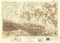
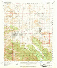
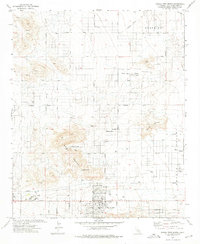
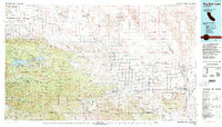
Listed on the National Register of Historic Places in 2023. 9 historic topographic surveys show this location, the earliest from 1953.
One of 98 National Register listings published here for San Bernardino County · listed in 2023 · category: District.
Sources: the National Register database, National Park Service
The ground this property stands on, surveyed 29 years apart. Drag the handle to wipe between them. Both sheets are United States Geological Survey originals; neither has been altered.
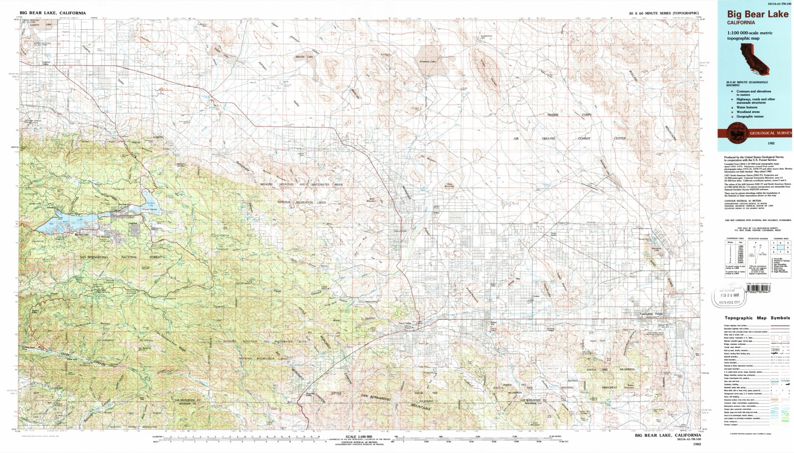
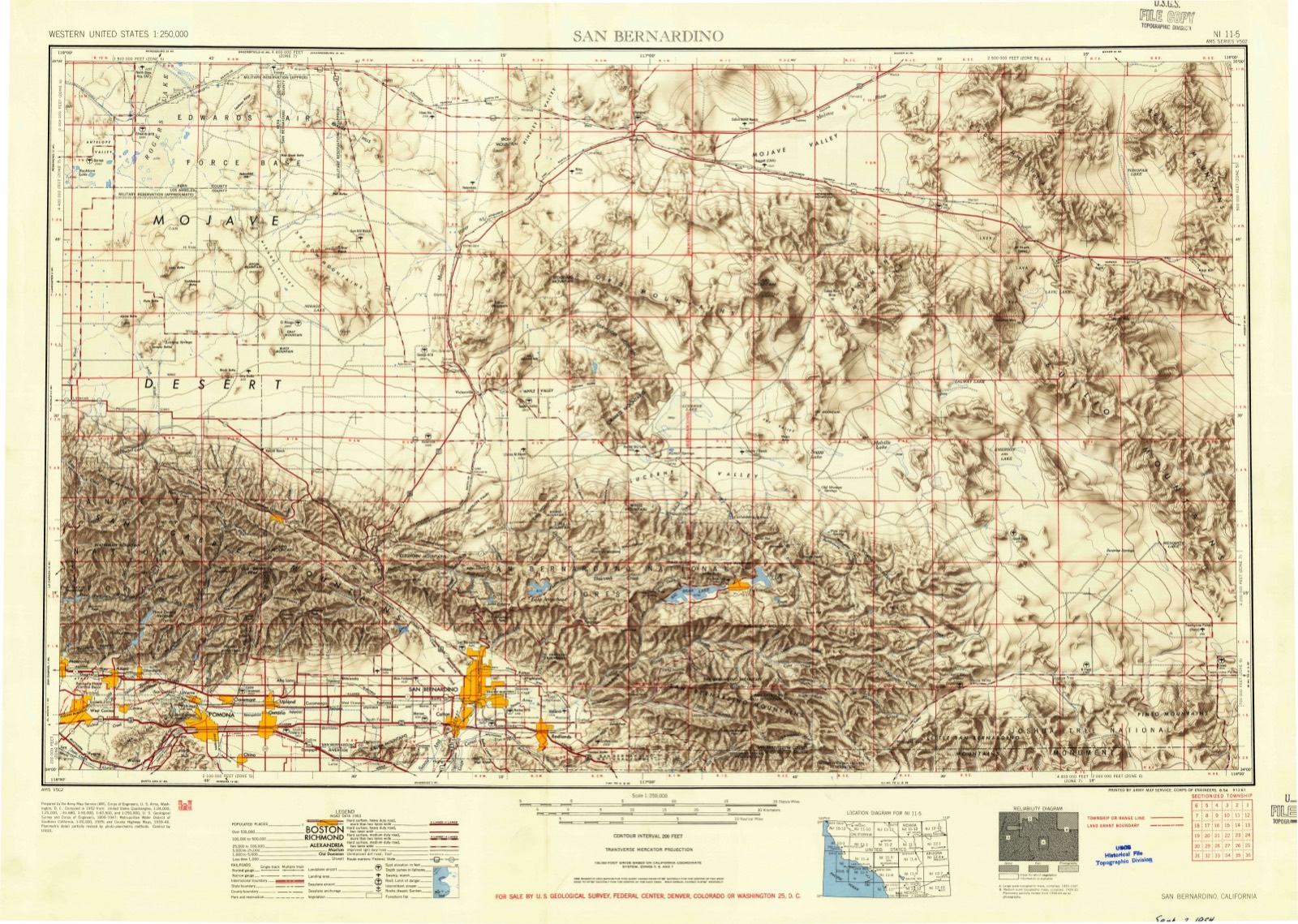
Regional context, not property-specific evidence. The federal wildfire occurrence database lists 150 fires within 5 miles of New City of Mentalphysics Historic District between 1992 and 2020, burning about 1,502 acres in total. 12 started naturally. 12 were recorded as arson. Distance is straight-line from the map coordinates, so a fire counted here may appear on a neighbouring settlement's page as well.
| Reported cause | Fires |
|---|---|
| Missing data/not specified/undetermined | 66 |
| Misuse of fire by a minor | 19 |
| Equipment and vehicle use | 15 |
| Natural | 12 |
| Arson/incendiarism | 12 |
| Recreation and ceremony | 8 |
| Debris and open burning | 7 |
| Smoking | 6 |
| Fireworks | 4 |
| Power generation/transmission/distribution | 1 |
The most recent of them, most recent first, with the day each was reported and the service that recorded it.
| Date | Cause | Size | Reported by | Name on the report |
|---|---|---|---|---|
| 9 September 2006 | Equipment and vehicle use | 3.0 acres | California Desert District | WILLOW |
| 9 September 2006 | Equipment and vehicle use | 3.0 acres | California Department of Forestry & Fire Protection | not named |
| 9 September 1992 | Misuse of fire by a minor | under an acre | San Bernardino Unit | RED EYE |
| 29 September 2008 | Missing data/not specified/undetermined | under an acre | California Department of Forestry & Fire Protection | not named |
| 27 September 2001 | Missing data/not specified/undetermined | under an acre | Joshua Tree National Monument | GOLDEN BEE |
| 26 September 1992 | Missing data/not specified/undetermined | under an acre | San Bernardino Unit | GRANADA |
| 2 September 2007 | Missing data/not specified/undetermined | 1.0 acres | California Department of Forestry & Fire Protection | not named |
| 19 September 2005 | Natural | under an acre | California Desert District | MELTON |
Regional context, not property-specific evidence. The National Weather Service names Joshua Tree, the town this property stands in, in 32 storm reports between 1997 and 2025: 20 flash flood, 5 hail, 2 flood, 2 thunderstorm wind. No death or injury is recorded in these reports. Each account below is quoted exactly as the forecast office filed it, from the NOAA Storm Events Database, and each date opens the federal record of that event.
| When | Event | Place named | Harm | What the report says |
|---|---|---|---|---|
| August 2011 | Thunderstorm Wind | Joshua Tree | $150,000 | Thunderstorm winds in Joshua Tree blew down several trees, power poles, and power lines; blew down a 36 foot wide billboard; blew the roof and porch off a mobile home; blew off part of the roof of the library; and blew over at least two small buildings. |
| July 2017 | Flash Flood | Joshua Tree | $25,000 | Scattered thunderstorms developed across portions of Joshua Tree National Park during the afternoon hours on July 29th, and some of them produced intense, flash flood producing rains across northern portions of the park. According to reports from Joshua Tree park rangers, flash flooding was observed along Indian Cove Road at 1404PST. The road drains to the north towards California highway 62 but it originates within the park. Park rangers and dispatch also indicated flash flooding on area roads between Twentynine Palms and Joshua Tree; there was significant debris left behind on the roads due to the excessive runoff. Fortunately there were no reports of accidents or injuries due to the flash flooding. A Flash Flood Warning was in effect at the time of the flooding. |
| October 2015 | Lightning | Joshua Tree | $25,000 | Lightning set fire to five trees and one power pole in Joshua Tree and Twentynine Palms. |
| September 2022 | Flash Flood | Joshua Tree | $10,000 | Multiple roads were flooded, and one van was stuck in flowing water. |
| July 2001 | Tornado (F0) | Joshua Tree | $10,000 | A tornado touched down in Joshua Tree causing minor damage to homes and businesses. The most significant damage reports included damage to a roof of an abandoned house and a patio cover torn off another home. |
| July 2015 | Flash Flood | Joshua Tree | $5,000 | Thunderstorms developed across portions of Joshua Tree National Park during the afternoon hours on July 19th. Due to an infusion of tropical moisture from former hurricane Dolores, the storms generated torrential rainfall with peak rain rates well in excess of 2 inches per hour. The intense rainfall led to flash flooding across the western portion of the park. At about 1500PST, local law enforcement reported flash flooding of Park Boulevard, Route 12, near and just southeast of the western entrance to Joshua Tree National Park. In addition, the flooding washed debris onto portions of Park Boulevard. No injuries were reported due to the flash flooding. |
| August 2012 | Lightning | Joshua Tree | $5,000 | Lightning struck and killed a horse, and also started a smoldering fire in a barn which burned to the ground three days later. |
| August 2004 | Hail | Joshua Tree | $5,000 | Three quarter inch hail was reported at the north entrance to Joshua Tree National Park. |
| August 2023 | Flash Flood | Joshua Tree | $2,000 | Mud and debris washed onto Highway 62 just east of Olympic Rd. |
| November 2019 | Flash Flood | Joshua Tree | $2,000 | Highway 62 was flooded from Hallee Road to Mile Square Road. |
| August 2012 | Flash Flood | Joshua Tree | $2,000 | Water flowed over Highway 62 at Sunburst Street, leaving mud and debris on the highway. |
| February 2025 | Flood | Joshua Tree | $1,000 | There was minor flooding of Highway 62 in several low spots between Hallee Rd and White Feather Rd. |
| September 2022 | Flash Flood | Joshua Tree | $1,000 | Park Blvd was closed just outside the west entrance to Joshua Tree National Park. |
| August 2022 | Flash Flood | Joshua Tree | $1,000 | Highway 62 was flooded near Hillview Road. |
| November 2022 | Flash Flood | Joshua Tree | $1,000 | Chollita Rd was flooded. |
| July 2018 | Flash Flood | Joshua Tree | $1,000 | Highway 62 was flooded west of Joshua Tree. |
| August 2018 | Flash Flood | Joshua Tree | $1,000 | Water seven inches deep flowed over Sunburst along Broadway. |
| October 2015 | Flash Flood | Joshua Tree | $1,000 | The intersection of Sunfair Road and Aberdeen Drive was flooded. |
| August 2013 | Flash Flood | Joshua Tree | $1,000 | Highway 62 was closed at Sunburst Circle, and a truck and trailer were stranded in swift water. |
| August 2011 | Flash Flood | Joshua Tree | $1,000 | Debris flowed across Highway 62 in Joshua Tree. |
| July 2011 | Thunderstorm Wind | Joshua Tree | $500 | An awning was damaged by thunderstorm winds. |
| October 2018 | Hail | Joshua Tree | - | Multiple sources reported hail up to one inch in diameter fell for 15 minutes in Joshua Tree, accumulating about an inch deep on the ground. |
| August 2015 | Flash Flood | Joshua Tree | - | Thunderstorms developed across portions of Joshua Tree National Park during the early afternoon hours on August 26th, and some of the stronger ones produced very intense rainfall which quickly led to flash flooding across the northern portion of the park. According to local law enforcement, flash flooding was reported at 1325PST in the north central portion of the park, around the popular Queen Valley Mountain bike area near the Sheep Pass group camp along highway 12. This area is east of Ryan Mountain. A Flash Flood Warning had been issued shortly before the flash flooding was reported. Fortunately no injuries were reported due to the flash flooding. |
| September 2014 | Hail | Joshua Tree | - | Trained spotter reported one inch hail 2 miles south of Joshua Tree. |
| January 2010 | Flash Flood | Joshua Tree | - | Water and debris were on several roads in the Joshua Tree area. An elderly care center was also flooded. |
| December 2004 | Flash Flood | Joshua Tree | - | A park ranger in Joshua Tree National Park reported that all low water crossings have at least one foot of water running through. Several roads are closed. |
| August 2004 | Flash Flood | Joshua Tree | - | Heavy rains from a thunderstorms caused flash flooding along the west entrance of Joshua Tree National Park. Several roads and trails were flooded for several hours. |
| July 2001 | Flash Flood | Joshua Tree | - | Heavy rain caused severe flooding of area roadways in Joshua Tree. Flooding was reported to be over one foot deep in many areas. |
| June 2025 | Hail | Joshua Tree | - | no account filed |
| July 1999 | Flood | Joshua Tree | - | no account filed |
| August 1997 | Hail | Joshua Tree | - | no account filed |
| August 1997 | Flash Flood | Joshua Tree | - | no account filed |
United States Geological Survey topographic sheets whose coverage includes this point. Matched by taking the middle of the area the National Park Service maps for this listing, then testing that coordinate against the published boundary of every sheet.
Other National Register properties close enough to walk or drive between, ordered by distance from this one. Both positions come from the same geocoding pass that matched these properties to their map sheets.
| Photograph | Property | Distance | Listed |
|---|---|---|---|
| Pioneertown Mane Street Historic District | 7.8 miles | 2020 |
| National Archives record | The nomination case file for reference 100008539 in Record Group 79. |
| San Bernardino County | All 98 listed properties in this county. |