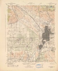
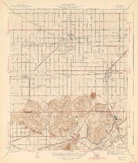
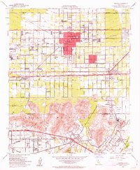
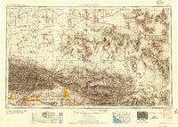
Listed on the National Register of Historic Places in 1982. 17 historic topographic surveys show this location, the earliest from 1896.
From the record
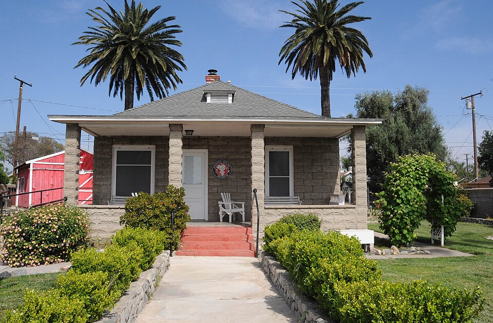
“The Fontana Farms Company Ranch House, Camp No. 1 is a historic ranch house located at 8863 Pepper Street in Fontana, California. Built in 1905-06, it was the first building constructed in Fontana, then a rural community known as Rosena.”
Wikipedia article Fontana Farms Company Ranch House, Camp No. 1, CC BY-SA 4.0.
One of 98 National Register listings published here for San Bernardino County · listed in 1982 · category: Building.
National Register reference number.82000982- the number the National Park Service assigned this property when it was listed, and the key its nomination file is catalogued under at the National Archives.
Then and now
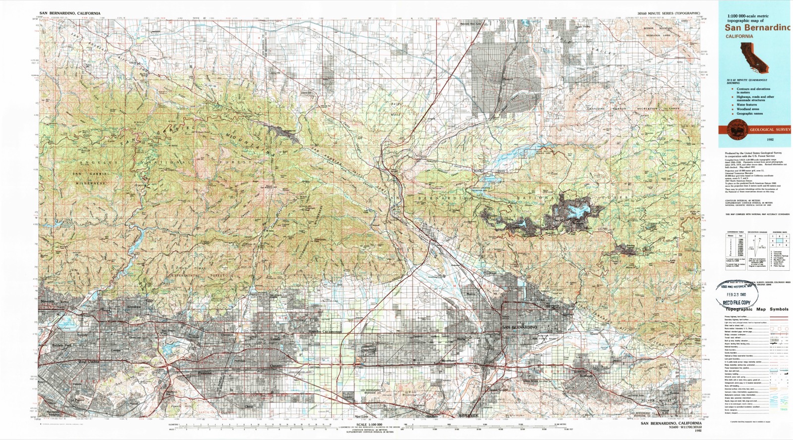
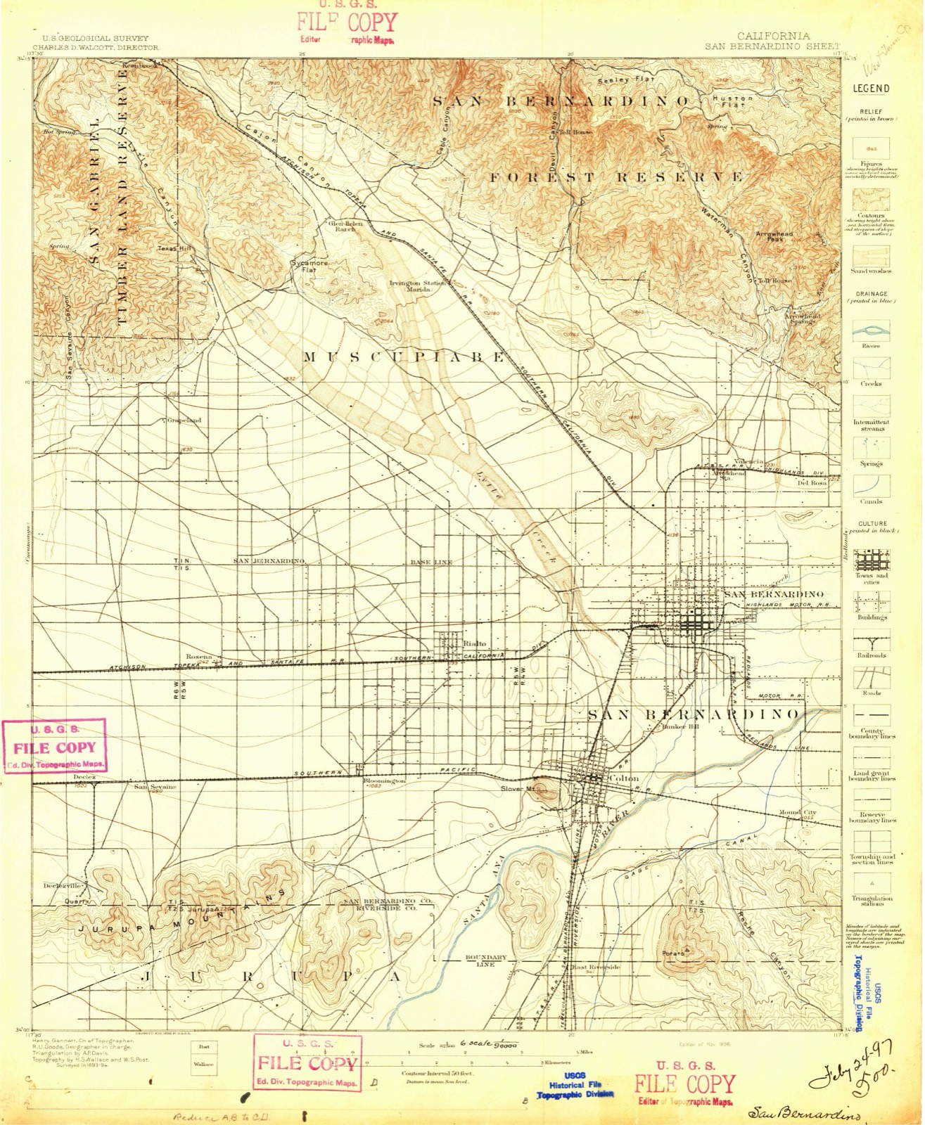
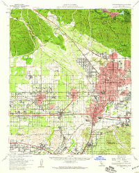
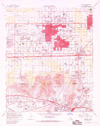
1896 to 1982
The ground this property stands on, surveyed
86 years apart. Drag the handle to wipe between them. Both sheets are
United States Geological Survey originals; neither has been altered.
18961982
Fires near this property
428 since 1992
Regional context, not property-specific
evidence. The
federal wildfire occurrence database
lists 428 fires within 5 miles of Fontana Farms Company Ranch House, Camp No. 1
between 1992 and 2020, burning about 24,591 acres in total. 1 started naturally. 65 were recorded as arson.
Distance is straight-line from the map coordinates, so a fire counted
here may appear on a neighbouring settlement's page as well.
Reported cause
Fires
Missing data/not specified/undetermined
260
Arson/incendiarism
65
Equipment and vehicle use
55
Smoking
20
Misuse of fire by a minor
16
Debris and open burning
6
Recreation and ceremony
3
Power generation/transmission/distribution
2
Natural
1
The most recent of
them, most recent first, with the day each was reported and the service
that recorded it.
Date
Cause
Size
Reported by
Name on the report
9 September 2020
Smoking
under an acre
San Bernardino Unit
not named
7 September 2009
Missing data/not specified/undetermined
5.0 acres
California Department of Forestry & Fire Protection
not named
7 September 2004
Missing data/not specified/undetermined
1,007 acres
San Bernardino National Forest
RUNWAY
6 September 2020
Arson/incendiarism
1.0 acres
San Bernardino Unit
not named
6 September 1998
Missing data/not specified/undetermined
15 acres
San Bernardino Unit
BLAKE
5 September 1995
Debris and open burning
3.0 acres
San Bernardino Unit
BULLOCK
30 September 2009
Smoking
under an acre
California Department of Forestry & Fire Protection
Regional context, not property-specific
evidence. The federal mineral resources record lists
10 workings within 5 miles of Fontana Farms Company Ranch House, Camp No. 1: 8 past producers, 2 producers.
2 still produce. What was taken out: Sand and Gravel, Construction, Stone, Crushed/Broken, Marble, Dimension. Distance is straight-line from the
map coordinates, so a quarry counted here may appear on a neighbouring
settlement's page as well.
Regional context, not property-specific
evidence. The National Weather Service names
Fontana, the town this property stands in, in 23 storm reports between 1998 and 2025: 5 flood, 5 wildfire, 4 heavy rain, 3 lightning.
The reports record 1 death and 38 injuries. Each account below is quoted exactly as the forecast office
filed it, from the NOAA Storm Events Database, and each date
opens the federal record of that event.
A was 40 year old female was struck and killed by lightning around 1530 PST while she was standing under a tree along the 8600 block of Bennett Avenue in Fontana. Some concrete nearby may have also been damaged due to the strike.||Six men were leaning against a metal fence near Electric Avenue and 40th Street in San Bernardino when lightning struck nearby. All six appeared to have suffered electrical burns. Four of the six were administered medical treatment by firefighters as a precaution.
A construction worker suffered minor burns when lightning struck a nearby crane at the Kaiser Permanente Fontana Medical Center at 0842 PST on October 1. The 50-year old man was thrown to the ground as a result of the strike. His injuries are non-life-threatening.
Widespread flooding occured in the vicinity of Interstate 10 and Etiwanda Ave. Vehciles caught in the flood waters reportedly floated away and minor flooding damaged homes along Etiwanda Ave. Nearby, the San Sevaine flood-control channel overflowed and washed out some railroad tracks, resulting in the derailment of three cars of a Union Pacific freight train. The derailment and flooding forced the shutdown of two gas pipelines that supply jet fuel from Southern California to Phoenix and Las Vegas.
Heavy rain caused minor flooding in areas with poor drainage in Fontana and Redlands. In Fontana, a home was filled with several inches of water after sandbags surrounding the home failed. In Redlands, a clogged drain caused an apartment parking lot to flood, damaging several cars.
A warehouse roof collapsed on the 11000 block of Mulberry Avenue in Fontana due to accumulation of over 1 foot of water. Drains were plugged allowing the water to accumulate. An alert gauge approximately 2 miles north of the location reported 1.02 inches of rain in 25 minutes between 1545 and 1610 PST.
A brief tornado touched down in Fontana on Elm Street and blew roof shingles off three homes, ripped the roof off a water well building, felled several trees, and brought down powerlines. The tornado was accompanied by pea and marble-sized hail.
Dept of Highways reported number 1 lane of eastbound I-10 flooded east of Etiwanda Avenue. Nearby rain gauges reported around 0.25 inch between midnight and 1 am.
The Department of Highways reported flooding and mud along the Duncan Canyon Road offramp, with two vehicles stopped and on vehicle in two feet of mud.
United States Geological Survey topographic
sheets whose coverage includes this point. Matched by taking the coordinate the National Park Service records for this property, then
testing that coordinate against the published boundary of every sheet.
Other National Register properties close
enough to walk or drive between, ordered by distance from this one. Both
positions come from the same geocoding pass that matched these properties
to their map sheets.
Listing record. National Park Service National Register of Historic Places, listed-properties dataset, current to 2026-05-22.
Map join. Address geocoded through the United States Census geocoder, then tested against the published boundary of every sheet in the USGS Historical Topographic Map Collection.
How this page is made. Listing fields come from federal records; map-sheet coverage is a labelled coordinate-to-boundary calculation, not a source-field claim.
Wildfire. Short, Karen C. 2022. Spatial wildfire occurrence data for the United States, 1992-2020 [FPA_FOD_20221014]. 6th Edition. Fort Collins, CO: Forest Service Research Data Archive. https://doi.org/10.2737/RDS-2013-0009.6 Collected with United States Government funding and usable without additional permissions or fees.
Mines and quarries. USGS Mineral Resources Data System (MRDS) https://mrdata.usgs.gov/mrds/ A work of the United States government, no copyright under 17 U.S.C. 105.
Storms. NOAA National Centers for Environmental Information, Storm Events Database https://www.ncei.noaa.gov/stormevents/ A work of the United States government, no copyright under 17 U.S.C. 105. Narratives are quoted verbatim from the National Weather Service report and are not edited or summarised.
 Block
Block