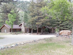
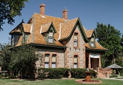
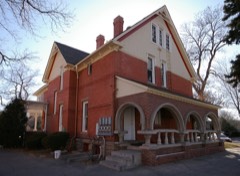
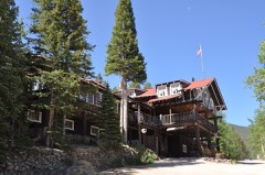
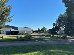
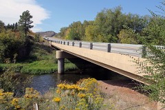
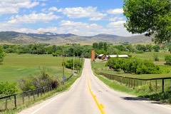
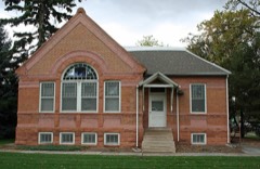
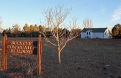
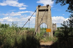
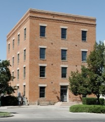
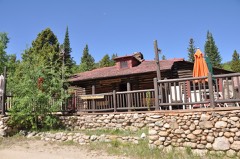
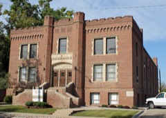
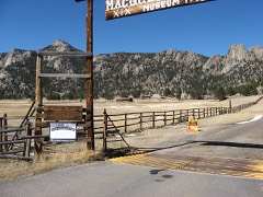
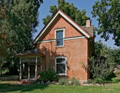
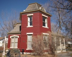
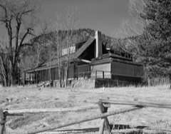
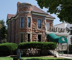
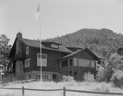
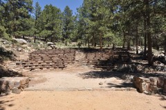
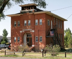
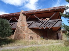
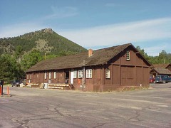
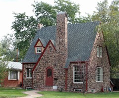
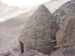
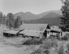
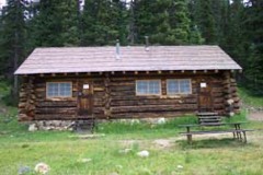
110 National Register listings published here, 1 of them a National Historic Landmark · the county-history sources name 1 person · people the book names include Thomas J. Montgomery (Fort Collins, 1911) (machine-read).
Every wildfire the federal occurrence
database records inside this county: 2,805 of them, burning
about 352,341 acres. 555 started naturally and 33 were recorded as arson. Each settlement page carries the fires within
five miles of it.
Reported cause
Fires
Missing data/not specified/undetermined
1643
Natural
555
Recreation and ceremony
254
Equipment and vehicle use
115
Smoking
96
Debris and open burning
54
Arson/incendiarism
33
Fireworks
24
Power generation/transmission/distribution
17
Misuse of fire by a minor
9
Railroad operations and maintenance
3
Other causes
1
Firearms and explosives use
1
The five largest, by the area the report
gives. None of them was recorded as arson.
Date
Cause
Size
Reported by
Name on the report
13 August 2020
Missing data/not specified/undetermined
208,913 acres
Arapaho and Roosevelt National Forests and Pawnee National Grassland
CAMERON PEAK
9 June 2012
Natural
87,275 acres
Arapaho and Roosevelt National Forests and Pawnee National Grassland
HIGH PARK
12 June 2000
Recreation and ceremony
10,599 acres
Arapaho and Roosevelt National Forests and Pawnee National Grassland
BOBCAT
30 March 2004
Debris and open burning
8,908 acres
Arapaho and Roosevelt National Forests and Pawnee National Grassland
PICNIC ROCK
14 May 2012
Recreation and ceremony
7,685 acres
Arapaho and Roosevelt National Forests and Pawnee National Grassland
HEWLETT
17 July 2002
Equipment and vehicle use
4,348 acres
Arapaho and Roosevelt National Forests and Pawnee National Grassland
BIG ELK
9 October 2012
Missing data/not specified/undetermined
3,498 acres
Rocky Mountain National Park
FERN LAKE
1 April 2011
Debris and open burning
2,939 acres
Arapaho and Roosevelt National Forests and Pawnee National Grassland
CRYSTAL
Every settlement page carries the fires within five
miles of it - see the settlement index below.
Storms,
1954 to 2025
60 of 915 shown
The
NOAA Storm Events Database holds
915 reports for this county, causing 24 deaths, 114 injuries and about $307,120,810 in recorded property damage.
Each settlement page carries the reports that name it.
Kind of event
Reports
Hail
616
Thunderstorm Wind
136
Flash Flood
74
Lightning
46
Tornado
33
Flood
6
Heavy Rain
3
Wildfire
1
The most serious of them, by death, then
injury, then recorded damage. The accounts are quoted exactly as the
forecast office filed them.
A flash flood killed 5 women and injured 40 others when a 10-15 foot wall of water surged through 2 mobile home parks. Over 8 inches of rainfall was measured in southwest Fort Collins during the evening hours as a series of storms developed, dumping heavy rain over the same area. The disaster occurred when debris apparently blocked a culvert beneath the railroad tracks adjacent to the park which flowed into Spring Creek. The normally small creek became a torrent when the dammed water jumped the railroad tracks. The highwater also derailed 4 railroad cars, compounding the catastrophe. The wall of water swept through the mobile home park destroying 108 homes and damaging 481 others, 86 severely. Four women were killed while attempting to evacuate there homes and flee the floodwaters. Another died when she tried to go back into the park to rescue her pets. Torrential rainfall caused extensive flooding at the Colorado State University campus. The library was hardest hit as 500,000 books were damaged, nearly half beyond repair. Highwaters from the surrounding area filled the basement with 10 feet of water, destroying the medical archives. Total damage estimates throughout the Fort Collins area were approximately $190 million. A breakdown of the estimated damages included; $125-$135 million to the CSU campus, $50 million to homes, primarily mobile homes, $2.5 million to city roads, businesses and public buildings, and $2.0 million in automobile claims.
A debris flow moved into Black Hollow Gulch and damaged or destroyed several structures including four homes. Four people in one of the homes perished when their residence washed away in the floodwaters.
Strong thunderstorm winds occurred at Boyd Lake. Two women drowned when the boat they were in capsized. Four others that were in the boat had to be hospitalized, one was in intensive care.
Heavy rain continued to produce widespread flash flooding. A 79-yr old Larimer County resident was killed when she was swept away while trying to climb to safety from her home in Cedar Point. In addition, A 61-yr old Cedar Point resident died when her home was swept down the Big Thompson River by the floodwaters.
Lightning killed a 35-yr old man and seriously injured his wife and young daughter. The family was hiking near the Gore Range Overlook along Trail Ridge Road when the thunderstorm developed, at an elevation of 11,700 feet.
Thunderstorm winds gusting to 60 mph (52 knots) buffeted portions of Southeast Larimer County. Winds toppled a tent at an outdoor music concert in Loveland (12 miles south southeast of Fort Collins), injuring eight people and causing damage to musical instruments. A truck driver was injured on Interstate 25, five miles east of Loveland when his semi truck was overturned by gusty winds.
Six people received minor injuries when lightning struck a nearby scenic overlook atop Trail Ridge Road. The charge apparently travelled across the ground and shocked the group.
Two people were injured when they were struck by lightning at the Forest Canyon Overlook, at nearly 12,000 feet elevation along Trail Ridge Road. The thunderstorm formed rapidly overhead. One of the victims was badly burned, the other had no visible injuries.
Thunderstorm winds gusting to 60 mph (52 knots) buffeted portions of Southeast Larimer County. Winds toppled a tent at an outdoor music concert in Loveland (12 miles south southeast of Fort Collins), injuring eight people and causing damage to musical instruments. A truck driver was injured on Interstate 25, five miles east of Loveland when his semi truck was overturned by gusty winds.
Heavy rain, ranging from 6 to 12 inches through the storm event caused widespread flooding, including the entire drainage systems of the Big Thompson and Cache La Poudre Rivers. Some of the hardest hit communities included: Estes Park, Drake, Glen Haven, High Park burn area and Loveland. Most of the parks, trails and open spaces in Larimer County suffered some degree of damage. Dams in the Big Elk Meadows area failed which drained into the Little Thompson River. Multiple structures were reportedly damaged, with several rescues from the flood and infrastructure damage. Power lines were also downed. Road closure included U.S. 36, from Estes Park to CO66. Mandatory evacuations were ordered for residents along the Big Thompson River on the west side of Loveland. The county experienced issues with water and wastewater plants due to flooding. In Fort Collins, an estimated 20 businesses and 10 homes were damaged by floodwaters. ||Preliminary damage estimates included $89 million to roads and bridges throughout the county. In addition, damage to the sewer system in Estes Park could total more than $20 million. At least 1,700 homes were destroyed in Larimer County, and an estimated 16,300 dwellings were damaged throughout the flood zone.
Heavy rain and large hail from thunderstorms moving across eastern Larimer, northern Weld and western Logan Counties caused extensive flooding and flash flooding problems throughout the afternoon and evening hours. Rainfall totals ranged anywhere from 2 to 5 inches. Flash Floods washed out several roads and highways. Highway 14, the main highway between Fort Collins and Sterling was extensively damaged. Five bridges were damaged by floodwaters and several sections of the highway were washed out. Lone Tree Creek, near Lucerne, jumped its banks and flooded several homes. Highway 14 was closed for at least a week to repair the damage. Damage to county roads and bridges throughout Weld County was estimated to be $500,000.
A line of thunderstorms dropping heavy rain caused significant urban flooding and backed up sewer systems in Lyons. Numerous basements in Lyons were flooded out as well. The main road, extending between Livermore and Red Feather Lakes in Larimer County, was washed out at several locations. Rainfall amounts in upwards of 5.00 inches were reported in northern Larimer county near Virginia Dale.
Heavy rain produced localized flooding in downtown Fort Collins and Livermore, with standing water 1 to 3 feet deep. Vehicles were reportedly floating at the intersection of College and Mulberry in Fort Collins. Considerable street flooding was observed at several other locations. Extensive flooding occurred on the CSU campus. Trained spotter reported storm totals from 2.00 to 3.64 inches of rainfall.
High water levels prompted the release of water through the Fossil Creek Dam Spillway near Interstate 25, southwest of Ft Collins. Some road closures included: CR 23, from CR 50E to CR 52E; CR 43, from CR 51B to just east of Glen Haven; CR 15/CR 6C intersection, from CR15 to CR15A to Berthoud.
Heavy rainfall caused flooding and flash flooding in and around Fort Collins. The worst areas were south and southeast of Fort Collins towards Timnath. Locations in these areas received from 3 to 5 inches of rain. Widespread street flooding with road closures were reported. Numerous vehicles were stranded in standing water in excess of 6 inches in depth.
The Buckhorn Road, County Road 44H, was closed west of Stove Prairie Road due to flood damage. Water was also observed crossing County Road 43 at Streamside Drive.
Heavy rainfall washed out County Roads 43 and 44H, along with several residential driveways and roads that crossed Buckhorn Creek north of Stringtown Gulch Road.
North and northwest of Wellington, flash flooding produced extensive field flooding. Flash flooding forced the closure of Rawhide Flats Road with extensive field flooding due to standing water on county roads.
Heavy rain and flooding forced the closure of country roads 27 and 44H.
Mines and
quarries
336 recorded
The Survey's mineral resources record
lists 336 workings inside this county. 113 still produce and 223 are closed or unrecorded. Each
settlement page carries the workings within five miles of it.
Commodity
Workings
Beryllium
77
Sand and Gravel, Construction
46
Uranium
20
Gypsum-Anhydrite
19
Tungsten
17
Mica
13
Gold
12
Stone, Crushed/Broken
12
Gold, Silver
11
Fire Clay (Refractory)
9
Stone
9
Beryllium, Mica
8
Clay
8
Mica, Beryllium
7
The least common of them first, because a
county's hundredth gravel pit says nothing its first ten did not.
One book written about this county, cut here
where the book itself is cut, at its printed chapters: 1 chapter in all.
Every chapter is public domain, machine-read from the scan and
reproduced complete. A chapter already given under one of the county's
towns is not repeated in this list.
Everyone History of Larimer County, Colorado stops to write about, with
the section that describes them. Among them are the men who founded the
place and governed the Territory. Each name opens the passage itself, in
the words of 1911.
Named settlements recorded in the Geographic Names
Information System, each with the topographic sheets covering it. Villages,
hamlets and abandoned places alike. Each is shown with the nearest named
watercourse or landform and the survey quadrangle it falls on.
Topographic sheets. USGS Historical Topographic Map Collection, county index, measured from the bulk metadata.
Fire insurance maps. Library of Congress Sanborn collection, faceted to this county.
Photographs. Each place queried individually against the Library of Congress Prints and Photographs search.
Wildfire. Short, Karen C. 2022. Spatial wildfire occurrence data for the United States, 1992-2020 [FPA_FOD_20221014]. 6th Edition. Fort Collins, CO: Forest Service Research Data Archive. https://doi.org/10.2737/RDS-2013-0009.6 Collected with United States Government funding and usable without additional permissions or fees.
Mines and quarries. USGS Mineral Resources Data System (MRDS) https://mrdata.usgs.gov/mrds/ A work of the United States government, no copyright under 17 U.S.C. 105.
Storms. NOAA National Centers for Environmental Information, Storm Events Database https://www.ncei.noaa.gov/stormevents/ A work of the United States government, no copyright under 17 U.S.C. 105. Narratives are quoted verbatim from the National Weather Service report and are not edited or summarised.
 Block