 Block
Cheyenne Wells, Colorado
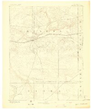
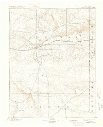
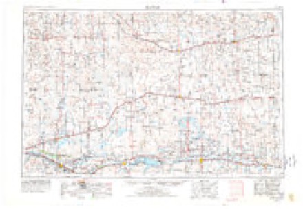
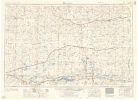
14 topographic sheets cover this place, the earliest surveyed in 1892 and the latest in 1982. It stands in the Cheyenne Wells census division. It lies in ZIP code area 80810. The Survey maps it on the Cheyenne Wells quadrangle. 758 people lived here at the 2020 count. It stands 4,291 feet above sea level.
Research this city
On record in Cheyenne Wells
Buildings and businesses the archive holds for this place. Each opens its own page, with the source record it came from.
On the National Register 2 records
 Cheyenne County Courthouselisted 1989
 Cheyenne County Jaillisted 1988
Population over time
2 figuresCheyenne Wells fell from 846 to 758 between 2010 and 2020. These are the recorded population figures Wikidata holds for this place, reached through the Geographic Names Information System number this page is keyed on rather than by name, so they belong to this place and not to another of the same name. Most are census counts, but not all are: an early figure may be a founding or settlement estimate, and an estimate published within five years of a census is left out. The change column is computed, and is left blank where more than 20 years separate a figure from the one before it, because a gap that long is not a change between two counts.
| Year | People | Change |
|---|---|---|
| 2010 | 846 | |
| 2020 | 758 | -88 (-10%) |
Topographic sheets covering this place
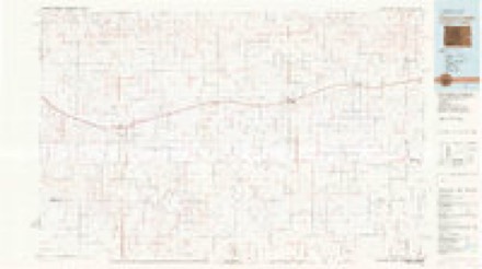
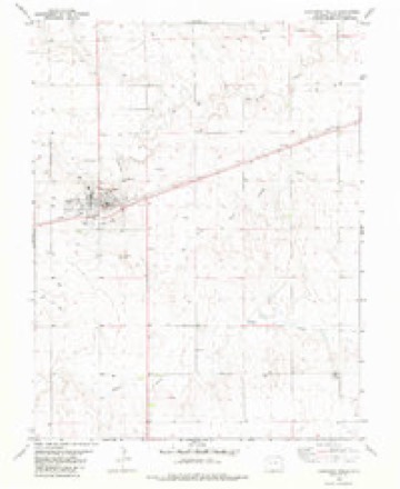
6 surveys from 14 printed sheetsMatched by testing this settlement's coordinate against the published boundary of every sheet in the United States Geological Survey's historical collection. Each opens the scanned sheet at the Survey.
- 1892 USGS Cheyenne Wells quadrangle1:125000
- 1894 USGS Cheyenne Wells quadrangle1:125000, 6 printings
- 1954 USGS Lamar quadrangle1:250000, 3 printings
- 1958 USGS Lamar quadrangle1:250000, 2 printings
- 1981 USGS Cheyenne Wells quadrangle1:100000
- 1982 USGS Cheyenne Wells quadrangle1:24000
Fires near this place
30 since 2010Regional context, not property-specific evidence. The federal wildfire occurrence database lists 30 fires within 5 miles of Cheyenne Wells between 2010 and 2015, burning about 455 acres in total. 1 started naturally. None was recorded as arson. Distance is straight-line from the map coordinates, so a fire counted here may appear on a neighbouring settlement's page as well.
| Reported cause | Fires |
|---|---|
| Missing data/not specified/undetermined | 29 |
| Natural | 1 |
The most recent of them, most recent first, with the day each was reported and the service that recorded it.
| Date | Cause | Size | Reported by | Name on the report |
|---|---|---|---|---|
| 8 September 2011 | Missing data/not specified/undetermined | 1.0 acres | Colorado State Forest Service-State Headquarters | CHEYENNE WELLS |
| 2 September 2010 | Natural | under an acre | Colorado State Forest Service-State Headquarters | not named |
| 7 August 2011 | Missing data/not specified/undetermined | under an acre | Colorado State Forest Service-State Headquarters | CHEYENNE WELLS |
| 21 July 2011 | Missing data/not specified/undetermined | 1.0 acres | Colorado State Forest Service-State Headquarters | CHEYENNE WELLS |
| 14 July 2011 | Missing data/not specified/undetermined | 40 acres | Colorado State Forest Service-State Headquarters | CHEYENNE WELLS |
| 14 July 2010 | Missing data/not specified/undetermined | 5.0 acres | Colorado State Forest Service-State Headquarters | not named |
| 30 June 2010 | Missing data/not specified/undetermined | under an acre | Colorado State Forest Service-State Headquarters | not named |
| 28 June 2011 | Missing data/not specified/undetermined | under an acre | Colorado State Forest Service-State Headquarters | CHEYENNE WELLS |
Settlements close enough to share some of these fires:
Mines and quarries near this place
2 within 5 milesRegional context, not property-specific evidence. The federal mineral resources record lists 2 workings within 5 miles of Cheyenne Wells: 1 occurrence, 1 past producer. None of them still produces. What was taken out: Sand and Gravel, Construction. Distance is straight-line from the map coordinates, so a quarry counted here may appear on a neighbouring settlement's page as well.
Storms near this place
60 of 209 shownRegional context, not property-specific evidence. The National Weather Service names Cheyenne Wells in 209 storm reports between 1993 and 2025: 121 hail, 58 thunderstorm wind, 17 tornado, 12 flash flood. No death or injury is recorded in these reports. Each account below is quoted exactly as the forecast office filed it, from the NOAA Storm Events Database, and each date opens the federal record of that event.
| When | Event | Place named | Harm | What the report says |
|---|---|---|---|---|
| September 2016 | Tornado (EF0) | Cheyenne Wells | $46,000 | A landspout tornado developed west of Cheyenne Wells between CR 42 and CR 43 just north of Highway 40, slowly moving east. Minor damage was sustained to most houses from South 1st Street to South 2nd Street between West 14th and West 10th. Damage included shingles blown off roofs, a garage door blown inward, a piece of tin ripped off a metal shed, windows broken, and sections of privacy fence blown down. The most notable damage was a six car garage leveled due to the walls collapsing and a mature pine tree being uprooted. The tornado ended at West 10th Street. |
| July 2009 | Thunderstorm Wind | Cheyenne Wells | $35,500 | Eight to ten inch diameter trees were reported down and power outages occurred across the town. A grain auger was damaged. The back window of an SUV was blown in and a pick-up truck was pushed into a ditch. |
| May 2013 | Thunderstorm Wind | Cheyenne Wells | $30,000 | Severe wind gusts from a thunderstorm caused an estimated 20 trees to be blown down in Cheyenne Wells. |
| August 2019 | Thunderstorm Wind | Cheyenne Wells | $20,000 | Thunderstorm wind damage was observed in Cheyenne Wells. A family member of an NWS employee lost their farm outbuilding. The Knights of Columbus building lost its roof. Law enforcement officials reported that a metal roof was blown over onto several vehicles in a parking lot. |
| July 1998 | Thunderstorm Wind | Cheyenne Wells | $6,000 | A possible heat burst from high altitude blew a roof from a shed. |
| August 2019 | Hail | Cheyenne Wells | $4,000 | Hail ranged from quarter to golf ball size near Cheyenne Wells. Wind-driven hail reported broke several windows in the Cheyenne Wells area. |
| July 2019 | Hail | Cheyenne Wells | $3,000 | The Cheyenne county dispatch reported broken windows, rain gauges, small tree limbs down due to at least quarter size hail. They also reported larger hail stones but couldn't provide an estimate. |
| July 2020 | Flash Flood | Cheyenne Wells | $2,500 | Local law enforcement and a trained storm spotter provided several reports of several inches of water flowing across Hwy 385 at mile marker 147 south of Cheyenne Wells. |
| July 2019 | Thunderstorm Wind | Cheyenne Wells | $2,000 | The Cheyenne County Sheriff's Office Facebook page reported multiple power lines down and water over roadways. Radar estimated the time of the event. |
| June 2009 | Thunderstorm Wind | Cheyenne Wells | $1,000 | Signs and 3 diameter tree branches were blown down by thunderstorm winds. |
| April 2007 | Tornado (EF1) | Cheyenne Wells | $1,000 | A single power pole was broken at Roads Z, 43. Otherwise the tornado was over open fields with no known damage. Tornado developed near Roads X, 46 and dissipated near Roads AA, 42. |
| October 2017 | Thunderstorm Wind | Cheyenne Wells | $500 | Three to four inch diameter tree limbs were blown down. |
| June 2006 | Hail | Cheyenne Wells | $250 | Hail broke window in garage. |
| August 2013 | Thunderstorm Wind | Cheyenne Wells | $150 | A large tree branch about 18 feet long was blown down and blocking part of the road intersection at South 2nd and 10th Streets in Cheyenne Wells. |
| June 2025 | Thunderstorm Wind | Cheyenne Wells | - | Mesonet site Kemp Well Service reported a 61 mph wind gust. |
| June 2025 | Thunderstorm Wind | Cheyenne Wells | - | Report via social media of an estimated gust of 70 MPH in Cheyenne Wells. |
| July 2025 | Thunderstorm Wind | Cheyenne Wells | - | Site Kemp Well Service measured 62 mph wind gust. |
| August 2025 | Hail | Cheyenne Wells | - | Public report of Quarter size hail falling north of Cheyenne Wells. |
| August 2025 | Thunderstorm Wind | Cheyenne Wells | - | Mesonet site Kemp Well Service via WeatherLink reported the wind gust. |
| October 2024 | Thunderstorm Wind | Cheyenne Wells | - | Personal Weather Station kcocheye2 recorded a 60 MPH gust. |
| August 2024 | Thunderstorm Wind | Cheyenne Wells | - | Reported via Weather Underground station kcocheye2. |
| May 2023 | Hail | Cheyenne Wells | - | Report received via mPing of quarter sized hail at location. |
| May 2023 | Hail | Cheyenne Wells | - | Report received of hail up to a penny in size at location. |
| May 2023 | Hail | Cheyenne Wells | - | Report sent in via MPing. |
| May 2023 | Hail | Cheyenne Wells | - | The hail size ranged from pea to dime in size. |
| June 2023 | Flash Flood | Cheyenne Wells | - | Multiple spotters reported water over road with videos. Water was estimated to be 6 inches over Highway 385 for about 100 yards. |
| August 2023 | Thunderstorm Wind | Cheyenne Wells | - | Trained spotter reported a max gust of 60.6 mph on their weather station. |
| June 2022 | Hail | Cheyenne Wells | - | Spotter called in a report of dime to nickel sized hail. The hail lasted for about 3 minutes. |
| June 2022 | Thunderstorm Wind | Cheyenne Wells | - | Dispatch relayed a report of near zero visibility due to rain with thunderstorm wind gusts at an estimated 60 to 70 mph at location. |
| July 2021 | Hail | Cheyenne Wells | - | Report received at location of hail ranging from pea to nickel in size along with torrential rainfall. |
| August 2021 | Thunderstorm Wind | Cheyenne Wells | - | Officer on duty estimated gusts of 50-60 MPH. |
| July 2020 | Hail | Cheyenne Wells | - | Trained spotter and Cheyenne Wells law enforcement observed hail up to half dollar in size over a duration of twenty minutes in the town of Cheyenne Wells. |
| July 2020 | Tornado (EFU) | Cheyenne Wells | - | Received a couple different reports of landspouts around this time. However, based on radar imagery and pictures/videos received, it appears that one single longer-lasting landspout tornado occurred. Reports described the times accurately and indicated the tornado occurred for around 10 minutes in duration, remaining nearly stationary. |
| July 2019 | Flash Flood | Cheyenne Wells | - | Heavy rainfall resulted in rushing water over the roadways in Cheyenne Wells. |
| June 2019 | Thunderstorm Wind | Cheyenne Wells | - | Estimated wind speed by public of 50 to 60 mph. |
| June 2019 | Thunderstorm Wind | Cheyenne Wells | - | Measured with a Davis Vantage Vue while stationary. |
| June 2019 | Thunderstorm Wind | Cheyenne Wells | - | NWS Storm Survey concluded a significant wind event moved through Cheyenne Wells. Damage consisted of numerous tree limbs broken and down, uplift and overthrow of a metal roof, loss of another deck awning/metal roof, loss of siding to a home, loss of roofing material to a few mobile homes, and a few trees down. |
| June 2019 | Thunderstorm Wind | Cheyenne Wells | - | A large metal grain bin at the Cargill Elevators was shifted 3 to 4 inches of its foundation. |
| July 2019 | Flash Flood | Cheyenne Wells | - | The local 911 dispatch reported a few inches of water over the roadway on US Hwy 40 eastbound into Cheyenne Wells. |
| July 2019 | Flash Flood | Cheyenne Wells | - | Local law enforcement reported flash flooding along US Hwy 385 just north of Cheyenne Wells due to heavy rain. |
| July 2019 | Flash Flood | Cheyenne Wells | - | Trained spotter reported flash flooding due to heavy rain near the Cheyenne County Fair Grounds along US Hwy 40. |
| June 2018 | Thunderstorm Wind | Cheyenne Wells | - | Winds were gusting to atleast 60 MPH. Pea size hail also occurred. |
| May 2018 | Thunderstorm Wind | Cheyenne Wells | - | The wind speeds were estimated to be 75 MPH. |
| May 2017 | Hail | Cheyenne Wells | - | Quite a bit of hail was pounding against the house. Most of the hail appears to be quarter size. |
| May 2017 | Hail | Cheyenne Wells | - | The average size of the hail was a half inch. |
| May 2017 | Hail | Cheyenne Wells | - | Dime sized hail was observed with other smaller sized hail. |
| June 2016 | Hail | Cheyenne Wells | - | Law enforcement called in a report of 1.75 inch hail at the intersection of CR K/CR 43. |
| May 2016 | Thunderstorm Wind | Cheyenne Wells | - | The thunderstorm winds caused a power outage which lasted between 15 and 25 minutes. |
| May 2016 | Thunderstorm Wind | Cheyenne Wells | - | Highway 40 was closed to westbound traffic due to debris in the roadway. |
| September 2016 | Tornado (EF0) | Cheyenne Wells | - | A second landspout was seen north of Cheyenne Wells. Based on photos and the subtle rotation couplet on radar, the tornado remained roughly three miles north of town between CR T and CR V, crossing CR 43 first then Highway 385 near the CR U/Highway 385 intersection before dissipating east of the highway. No damage was reported with this tornado. |
| May 2016 | Thunderstorm Wind | Cheyenne Wells | - | A trained spotter estimated gusts of 60 MPH from the approaching storms. |
| May 2015 | Hail | Cheyenne Wells | - | Dime size hail fell for roughly 5 minutes. |
| June 2014 | Thunderstorm Wind | Cheyenne Wells | - | Spotter reported estimated peak wind gusts of 60 mph. |
| August 2014 | Hail | Cheyenne Wells | - | Quarter size hail was reported covering the ground. |
| June 2013 | Hail | Cheyenne Wells | - | Enough hail had fallen from the storm to cover the ground. |
| June 2013 | Hail | Cheyenne Wells | - | Hail has been falling for five minutes. |
| August 2013 | Thunderstorm Wind | Cheyenne Wells | - | Peak winds were estimated at 60 mph. |
| May 2013 | Hail | Cheyenne Wells | - | Estimated time of report based on radar. |
| May 2013 | Tornado (EF0) | Cheyenne Wells | - | The landspout was observed on streaming video from a storm chaser. |
| June 2011 | Thunderstorm Wind | Cheyenne Wells | - | Spotter estimated peak wind gusts near 75 mph. |
Nearest settlements
The eight closest, with where each one stands in the county. Distances are straight-line, computed from the Geographic Names Information System coordinates.
| Map | Place | Distance | Sheets |
|---|---|---|---|
| Old Wells | 5.6 miles | 14 | |
| Arapahoe | 9.3 miles | 14 | |
| Firstview | 9.9 miles | 13 | |
| Kit Carson | 23.5 miles | 13 | |
| Mount Pearl | 25.1 miles | 13 | |
| Fort Big Spring | 26.4 miles | 13 | |
| Wild Horse | 34.9 miles | 12 | |
| Aroya | 41.0 miles | 12 |
Elsewhere
Matched on this settlement's Geographic Names Information System number rather than its name, so it cannot be a different place of the same name in another state.
| Wikipedia article on Cheyenne Wells | An encyclopaedic summary. Its text is share-alike, so it is linked here rather than copied. |
| Wikidata item Q1983900 | The structured record the population and elevation above come from. Public domain (CC0). |
Provenance
This settlement is recorded in the Geographic Names Information System as feature 195261. The sheet list is computed by point-in-boundary test against the United States Geological Survey's historical topographic inventory. Both are works of the United States government and carry no copyright under 17 U.S.C. 105.
Wildfire. Short, Karen C. 2022. Spatial wildfire occurrence data for the United States, 1992-2020 [FPA_FOD_20221014]. 6th Edition. Fort Collins, CO: Forest Service Research Data Archive. https://doi.org/10.2737/RDS-2013-0009.6 Collected with United States Government funding and usable without additional permissions or fees.
Mines and quarries. USGS Mineral Resources Data System (MRDS) https://mrdata.usgs.gov/mrds/ A work of the United States government, no copyright under 17 U.S.C. 105.
Storms. NOAA National Centers for Environmental Information, Storm Events Database https://www.ncei.noaa.gov/stormevents/ A work of the United States government, no copyright under 17 U.S.C. 105. Narratives are quoted verbatim from the National Weather Service report and are not edited or summarised.