 Block
Columbine, Colorado
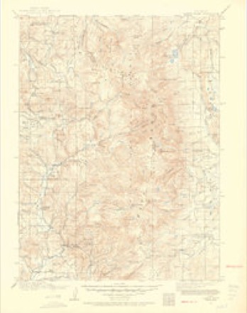
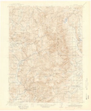
20 topographic sheets cover this place, the earliest surveyed in 1911 and the latest in 2000. It stands in the Steamboat Springs census division. It lies in ZIP code area 80428. It lies near Trilby Flats. The Survey maps it on the Hahns Peak quadrangle.
On record in Columbine
Buildings and businesses the archive holds for this place. Each opens its own page, with the source record it came from.
On the National Register 1 record
- Summit Creek Ranger Stationlisted 2004
Topographic sheets covering this place
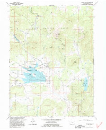
12 surveys from 20 printed sheetsMatched by testing this settlement's coordinate against the published boundary of every sheet in the United States Geological Survey's historical collection. Each opens the scanned sheet at the Survey.
- 1911 USGS Hahns Peak quadrangle1:125000, 2 printings
- 1913 USGS Hahns Peak quadrangle1:125000, 2 printings
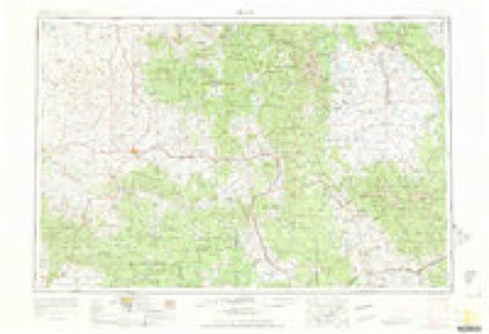
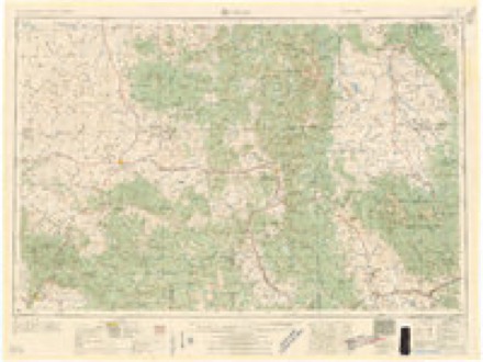
- 1954 USGS Craig quadrangle1:250000, 3 printings
- 1957 USGS Craig quadrangle1:250000
- 1958 USGS Craig quadrangle1:250000
- 1960 USGS Craig quadrangle1:250000
- 1962 USGS Craig quadrangle1:250000
- 1962 USGS Hahns Peak quadrangle1:24000, 5 printings
- 1964 USGS Craig quadrangle1:250000
- 1965 USGS Craig quadrangle1:250000
- 1981 USGS Walden quadrangle1:100000
- 2000 USGS Hahns Peak quadrangle1:24000
Fires near this place
17 since 1994Regional context, not property-specific evidence. The federal wildfire occurrence database lists 17 fires within 5 miles of Columbine between 1994 and 2019, burning about 2 acres in total. 9 started naturally. None was recorded as arson. Distance is straight-line from the map coordinates, so a fire counted here may appear on a neighbouring settlement's page as well.
| Reported cause | Fires |
|---|---|
| Natural | 9 |
| Missing data/not specified/undetermined | 3 |
| Recreation and ceremony | 3 |
| Equipment and vehicle use | 1 |
| Smoking | 1 |
The most recent of them, most recent first, with the day each was reported and the service that recorded it.
| Date | Cause | Size | Reported by | Name on the report |
|---|---|---|---|---|
| 5 September 2011 | Recreation and ceremony | under an acre | Medicine Bow-Routt National Forests, Thunder Basin National Grassland | NIPPLE |
| 2 September 2001 | Natural | under an acre | Medicine Bow-Routt National Forests, Thunder Basin National Grassland | GROUSE |
| 7 August 2018 | Natural | under an acre | Medicine Bow-Routt National Forests, Thunder Basin National Grassland | TWIN MOUNTAIN |
| 5 August 2000 | Recreation and ceremony | under an acre | Medicine Bow-Routt National Forests, Thunder Basin National Grassland | 486 |
| 3 August 1994 | Recreation and ceremony | under an acre | Medicine Bow-Routt National Forests, Thunder Basin National Grassland | not named |
| 27 August 2011 | Natural | under an acre | Medicine Bow-Routt National Forests, Thunder Basin National Grassland | WILLOW LAKE |
| 24 August 2018 | Missing data/not specified/undetermined | under an acre | North Routt Fire Protection District | UNKNOWN |
| 24 August 2017 | Natural | under an acre | Northwest District, Craig | FLOYD CREEK |
Mines and quarries near this place
10 of 59 shownRegional context, not property-specific evidence. The federal mineral resources record lists 59 workings within 5 miles of Columbine: 46 occurrences, 11 past producers, 1 producer, 1 prospect. 1 still produces. What was taken out: Gold, Silver, Zinc, Copper. Distance is straight-line from the map coordinates, so a quarry counted here may appear on a neighbouring settlement's page as well.
| Where | Site | Commodity | Status | Recorded |
|---|---|---|---|---|
| 7d Tunnel | Zinc, Gold, Lead, Silver, Copper | Occurrence | ||
| Farwell Mtn. | Molybdenum, Copper, Gold, Silver | Occurrence | Chalcopyrite, Molybdenite | |
| Hahns Peak District | Gold, Silver, Lead, Zinc, Copper, Molybdenum | Prospect | Galena, Pyrite, Sphalerite, Tetrahedrite | |
| Royal Flush Mine | Gold, Copper, Lead, Silver | Past Producer | ||
| Success | Uranium | Occurrence | ||
| Tom Thumb Mine | Silver, Lead, Gold | Past Producer | ||
| Unknown | Zinc, Silver, Copper, Lead, Gold | Occurrence | ||
| Campbell Tunnel and Shaft | Copper, Gold, Molybdenum, Silver | Occurrence | ||
| Colo. Mining Co. | Copper, Molybdenum | Occurrence | ||
| Emancipation Group | Copper, Molybdenum | Past Producer |
Storms near this place
3 since 2000Regional context, not property-specific evidence. The National Weather Service names Columbine in 3 storm reports between 2000 and 2011: 2 flood, 1 thunderstorm wind. No death or injury is recorded in these reports. Each account below is quoted exactly as the forecast office filed it, from the NOAA Storm Events Database, and each date opens the federal record of that event.
| When | Event | Place named | Harm | What the report says |
|---|---|---|---|---|
| May 2008 | Flood | Columbine | $15,000 | Snowmelt runoff caused some streams and creeks to exceed bankfull. Culverts were overwhelmed in areas and portions of roads were damaged. In some cases, minor flooding and road damage occurred due to snowmelt water that cascaded off slopes above roads. Water 6 to 8 inches deep flowed across some roads. The force of the water caused a section of road between the Elk River Guest Ranch and Vista Verde Guest Ranch to slough off. The damaged road section was about 20 feet wide and plunged 12 to 14 feet down. |
| June 2011 | Flood | Columbine | - | Rapid snow melt from a record snow pack over the Northern Colorado mountains allowed many waterways across Routt County to experience increased flows through the entire month of June. Areal flood advisories and warnings were in place to cover numerous small creeks and rivers that met or exceeded bankfull conditions. Flood advisories and warnings were also issued for site specific portions of the Elk River through the the month with the highest flows during the first half of the month and a second peak during the last few days of the month which continued into July. Preliminary data form the USGS shows historical volume and peak flow records were surpassed on this river near Milner. Significant low land flooding was reported across Routt County with some businesses and residences requiring sand bags to keep out flood waters. In rural areas, equipment and animals had to be evacuated by the encroaching water. Many local roads were also impacted with 6 to 12 inches of water being reported over the roadways. |
| June 2000 | Thunderstorm Wind | Columbine | - | no account filed |
Nearest settlements
The eight closest, with where each one stands in the county. Distances are straight-line, computed from the Geographic Names Information System coordinates.
| Map | Place | Distance | Sheets |
|---|---|---|---|
| Glen Eden | 9.8 miles | 20 | |
| Clark | 10.5 miles | 20 | |
| Slavonia | 14.7 miles | 23 | |
| Battle Creek | 17.9 miles | 17 | |
| Elkhead | 19.1 miles | 21 | |
| Mystic | 19.7 miles | 18 | |
| Mad Creek | 20.3 miles | 18 | |
| Steamboat II | 24.1 miles | 18 |
Provenance
This settlement is recorded in the Geographic Names Information System as feature 170461. The sheet list is computed by point-in-boundary test against the United States Geological Survey's historical topographic inventory. Both are works of the United States government and carry no copyright under 17 U.S.C. 105.
Wildfire. Short, Karen C. 2022. Spatial wildfire occurrence data for the United States, 1992-2020 [FPA_FOD_20221014]. 6th Edition. Fort Collins, CO: Forest Service Research Data Archive. https://doi.org/10.2737/RDS-2013-0009.6 Collected with United States Government funding and usable without additional permissions or fees.
Mines and quarries. USGS Mineral Resources Data System (MRDS) https://mrdata.usgs.gov/mrds/ A work of the United States government, no copyright under 17 U.S.C. 105.
Storms. NOAA National Centers for Environmental Information, Storm Events Database https://www.ncei.noaa.gov/stormevents/ A work of the United States government, no copyright under 17 U.S.C. 105. Narratives are quoted verbatim from the National Weather Service report and are not edited or summarised.