 Block
Trimble, Colorado
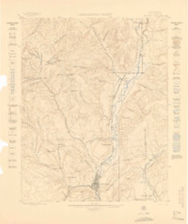
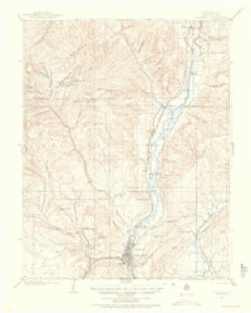
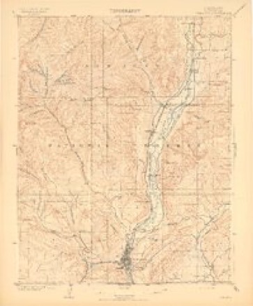
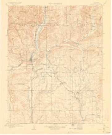
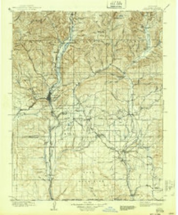
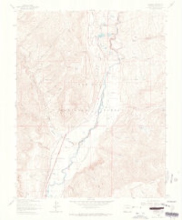
29 topographic sheets cover this place, the earliest surveyed in 1898 and the latest in 1983. It stands in the Durango census division. It lies in ZIP code area 81301. It lies near Kroeger Canyon. The Survey maps it on the Hermosa quadrangle. It stands 6,578 feet above sea level.
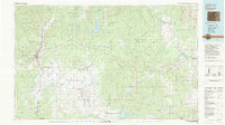
Topographic sheets covering this place
13 surveys from 29 printed sheetsMatched by testing this settlement's coordinate against the published boundary of every sheet in the United States Geological Survey's historical collection. Each opens the scanned sheet at the Survey.
- 1898 USGS Durango quadrangle1:62500
- 1907 USGS Durango quadrangle1:62500, 2 printings
- 1908 USGS Durango quadrangle1:62500, 3 printings
- 1908 USGS Ignacio quadrangle1:125000, 3 printings
- 1924 USGS Ignacio quadrangle1:125000, 4 printings
- 1945 USGS Durango quadrangle1:250000, 3 printings
- 1953 USGS Durango quadrangle1:250000
- 1954 USGS Durango quadrangle1:250000, 2 printings
- 1961 USGS Durango quadrangle1:250000
- 1963 USGS Durango quadrangle1:250000
- 1963 USGS Hermosa quadrangle1:24000, 5 printings
- 1966 USGS Durango quadrangle1:250000, 2 printings
- 1983 USGS Durango quadrangle1:100000
Fires near this place
269 since 1992Regional context, not property-specific evidence. The federal wildfire occurrence database lists 269 fires within 5 miles of Trimble between 1992 and 2020, burning about 73,882 acres in total. 96 started naturally. 2 were recorded as arson. Distance is straight-line from the map coordinates, so a fire counted here may appear on a neighbouring settlement's page as well.
| Reported cause | Fires |
|---|---|
| Missing data/not specified/undetermined | 97 |
| Natural | 96 |
| Recreation and ceremony | 28 |
| Railroad operations and maintenance | 21 |
| Debris and open burning | 14 |
| Equipment and vehicle use | 8 |
| Arson/incendiarism | 2 |
| Fireworks | 1 |
| Smoking | 1 |
| Misuse of fire by a minor | 1 |
The most recent of them, most recent first, with the day each was reported and the service that recorded it.
| Date | Cause | Size | Reported by | Name on the report |
|---|---|---|---|---|
| 8 September 2020 | Missing data/not specified/undetermined | under an acre | Durango Fire Rescue Authority | N/A |
| 8 September 2020 | Natural | under an acre | La Plata County | TRIPP GULCH |
| 5 September 2017 | Missing data/not specified/undetermined | under an acre | Durango Fire Rescue Authority | UNKNOWN |
| 3 September 2012 | Recreation and ceremony | under an acre | San Juan National Forest | ANIMAS OVERLOOK |
| 26 September 2016 | Missing data/not specified/undetermined | under an acre | Durango Fire Rescue Authority | UNKNOWN |
| 26 September 2012 | Natural | under an acre | San Juan National Forest | BUCK CANYON |
| 25 September 2017 | Debris and open burning | under an acre | Durango Fire Rescue Authority | UNKNOWN |
| 24 September 2013 | Missing data/not specified/undetermined | under an acre | Durango Fire Rescue Authority | UNKNOWN |
Settlements close enough to share some of these fires:
Mines and quarries near this place
10 of 17 shownRegional context, not property-specific evidence. The federal mineral resources record lists 17 workings within 5 miles of Trimble: 7 past producers, 6 occurrences, 4 unknowns. None of them still produces. What was taken out: Gold, Geothermal, Sand and Gravel, Construction, Silver. Distance is straight-line from the map coordinates, so a quarry counted here may appear on a neighbouring settlement's page as well.
| Where | Site | Commodity | Status | Recorded |
|---|---|---|---|---|
| Mark Thomas | Gold, Mercury, Platinum | Occurrence | Stream Placer | |
| Mason Milling & Mining | Gold, Copper, Lead, Silver | Past Producer | ||
| Schafer Ranch Deposit | Thorium, Titanium, Metal | Occurrence | Thorite | |
| Tripp Gulch Mine | Uranium, Vanadium | Occurrence | ||
| Unknown | Volcanic Materials | Occurrence | Ash | |
| Lost Mine | Gold, Silver | Past Producer | 1931, 1933 | |
| Schroeder Tunnel | Gold, Silver | Past Producer | ||
| Morse Sand & Gravel | Sand and Gravel, Construction | Past Producer | ||
| Unknown | Sand and Gravel, Construction | Occurrence | Sand | |
| Unknown | Sand and Gravel, Construction | Occurrence | Sedimentary |
Storms near this place
16 since 2010Regional context, not property-specific evidence. The National Weather Service names Trimble in 16 storm reports between 2010 and 2024: 5 flash flood, 4 heavy rain, 4 debris flow, 1 lightning. No death or injury is recorded in these reports. Each account below is quoted exactly as the forecast office filed it, from the NOAA Storm Events Database, and each date opens the federal record of that event.
| When | Event | Place named | Harm | What the report says |
|---|---|---|---|---|
| September 2013 | Flash Flood | Trimble | $30,000 | County Roads 240 and 247 were over-topped by fast moving water up to two feet deep. Considerable damage occurred to County Road 240. |
| September 2013 | Hail | Trimble | $25,000 | Large hail dented vehicles, broke windows, and caused other damage. |
| July 2018 | Flash Flood | Trimble | $20,000 | A 4 to 5 foot wall of water and debris flowed down Tripp Creek Gulch and across the yards of several homes along Tripp Creek Road at about 20 mph and spread out as it crossed County Road 203. Traffic across County Road 203 was temporarily restricted to one lane before the debris was cleared. Radar estimated three quarters of an inch to over an inch of rain fell within a short period of time. |
| August 2010 | Lightning | Trimble | $7,000 | Lightning from an early morning thunderstorm struck the roof of a house in the Durango Hills subdivision. Only moderate damage was reported by the resulting fire. |
| July 2024 | Debris Flow | Trimble | - | Heavy rainfall rates from a strong thunderstorm resulted in mudslides along Highway 550 to the north of Durango, reducing traffic to one lane. |
| September 2023 | Thunderstorm Wind | Trimble | - | Thunderstorm wind gusts estimated to be between 50 and 58 mph broke the branches off of several cottonwood trees at a CoCoRaHS observer's house. Additionally, a neighbors house had one of their windows damaged due to the branches being flown around. |
| July 2018 | Debris Flow | Trimble | - | Six inches of mud flowed across County Road 250 as a result of heavy rain with thunderstorms. 1.48 inches of rain fell in about an hour. Debris also flowed across County Road 203. As a result of all the debris, these roads were closed for almost 3 hours. |
| July 2018 | Debris Flow | Trimble | - | A 4 to 5 foot wall of debris flowed down Tripp Creek Gulch at about 20 mph and spread out as it crossed County Road 203 and ran across the yards of several homes along Tripp Creek Road. Traffic across County Road 203 was temporarily restricted to one lane before the debris was cleared. Radar estimates three quarters of an inch to over an inch of rain fell with thunderstorms. |
| September 2018 | Debris Flow | Trimble | - | Thunderstorms produced heavy rain across Tripp Creek and Dyke Canyon in the southern portion of the 416 Fire burn scar. This led to several inches of mud and water that flowed down County Road 203 and into Durango North Village near Trimble Lane. Local news media reported half an inch of rain fell in twenty minutes with the storms. |
| July 2018 | Heavy Rain | Trimble | - | A total of 0.25 of an inch of rain fell within 15 minutes. |
| July 2018 | Heavy Rain | Trimble | - | A small amount of mud and water was reported over County Road 203 in the vicinity of Tripp Gulch Creek. Radar estimated around a half inch of rainfall within a short period of time in that area. |
| July 2018 | Flash Flood | Trimble | - | Heavy rainfall resulted in flowing water over a foot deep which deposited about six inches of mud across County Road 250. Additionally, a nearby irrigation ditch breached. A storm spotter in that area measured 1.48 inches of rain within about an hour. |
| July 2017 | Heavy Rain | Trimble | - | A total of 1.10 inches of rain fell within about three hours. |
| August 2016 | Heavy Rain | Trimble | - | Just south of Hermosa .52 inches of rain fell within 6 hours. |
| September 2013 | Flash Flood | Trimble | - | The southbound lanes of Highway 550 were closed as flowing water up to three feet deep covered a 50 yard section of the roadway. |
| August 2011 | Flash Flood | Trimble | - | A one foot wall of water rushed down Haflin Creek and across County Road 250, followed shortly by a four foot wall of water and debris. After the flood waters abated, debris consisting mostly of rocks, vegetation, and mud up to 3 feet deep covered a 150 foot stretch of County Road 250. Road crews worked well into the evening to clean the debris off the road. A canal and irrigation ditches on the west side of County Road 250 were filled up with sediment and other debris. |
Nearest settlements
The eight closest, with where each one stands in the county. Distances are straight-line, computed from the Geographic Names Information System coordinates.
| Map | Place | Distance | Sheets |
|---|---|---|---|
| Hermosa | 1.8 miles | 29 | |
| Rockwood | 7.3 miles | 29 | |
| Durango | 8.1 miles | 30 | |
| Tacoma | 9.8 miles | 27 | |
| Carbon Junction | 10.6 miles | 20 | |
| Grandview | 11.3 miles | 20 | |
| Piñon Acres | 11.3 miles | 20 | |
| La Plata | 11.5 miles | 19 |
Elsewhere
Matched on this settlement's Geographic Names Information System number rather than its name, so it cannot be a different place of the same name in another state.
| Wikipedia article on Trimble | An encyclopaedic summary. Its text is share-alike, so it is linked here rather than copied. |
| Wikidata item Q27988085 | The structured record the population and elevation above come from. Public domain (CC0). |
Provenance
This settlement is recorded in the Geographic Names Information System as feature 183932. The sheet list is computed by point-in-boundary test against the United States Geological Survey's historical topographic inventory. Both are works of the United States government and carry no copyright under 17 U.S.C. 105.
Wildfire. Short, Karen C. 2022. Spatial wildfire occurrence data for the United States, 1992-2020 [FPA_FOD_20221014]. 6th Edition. Fort Collins, CO: Forest Service Research Data Archive. https://doi.org/10.2737/RDS-2013-0009.6 Collected with United States Government funding and usable without additional permissions or fees.
Mines and quarries. USGS Mineral Resources Data System (MRDS) https://mrdata.usgs.gov/mrds/ A work of the United States government, no copyright under 17 U.S.C. 105.
Storms. NOAA National Centers for Environmental Information, Storm Events Database https://www.ncei.noaa.gov/stormevents/ A work of the United States government, no copyright under 17 U.S.C. 105. Narratives are quoted verbatim from the National Weather Service report and are not edited or summarised.