 Block
Vallecito, Colorado
23 topographic sheets cover this place, the earliest surveyed in 1908 and the latest in 1983. It stands in the Bayfield census division. It lies in ZIP code area 81122. It stands on Jack Creek. The Survey maps it on the Vallecito Reservoir quadrangle. It stands 7,582 feet above sea level.
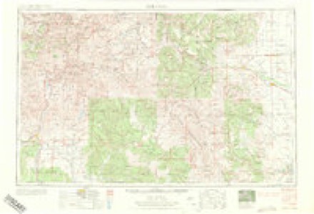
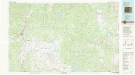
Topographic sheets covering this place
10 surveys from 23 printed sheetsMatched by testing this settlement's coordinate against the published boundary of every sheet in the United States Geological Survey's historical collection. Each opens the scanned sheet at the Survey.
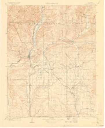
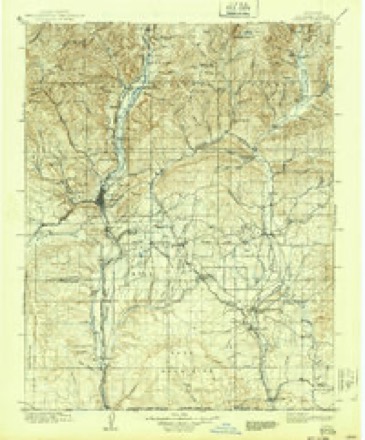
- 1908 USGS Ignacio quadrangle1:125000, 3 printings
- 1924 USGS Ignacio quadrangle1:125000, 4 printings
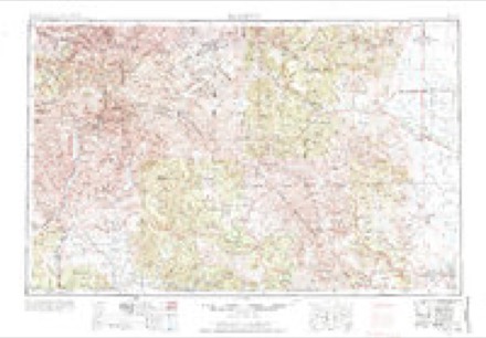
- 1945 USGS Durango quadrangle1:250000, 3 printings
- 1953 USGS Durango quadrangle1:250000
- 1954 USGS Durango quadrangle1:250000, 2 printings
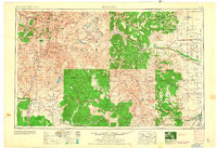
- 1961 USGS Durango quadrangle1:250000
- 1963 USGS Durango quadrangle1:250000
- 1964 USGS Vallecito Reservoir quadrangle1:24000, 5 printings
- 1966 USGS Durango quadrangle1:250000, 2 printings
- 1983 USGS Durango quadrangle1:100000
Fires near this place
155 since 1993Regional context, not property-specific evidence. The federal wildfire occurrence database lists 155 fires within 5 miles of Vallecito between 1993 and 2020, burning about 1,463 acres in total. 98 started naturally. 2 were recorded as arson. Distance is straight-line from the map coordinates, so a fire counted here may appear on a neighbouring settlement's page as well.
| Reported cause | Fires |
|---|---|
| Natural | 98 |
| Missing data/not specified/undetermined | 28 |
| Recreation and ceremony | 13 |
| Debris and open burning | 8 |
| Equipment and vehicle use | 3 |
| Arson/incendiarism | 2 |
| Smoking | 1 |
| Power generation/transmission/distribution | 1 |
| Misuse of fire by a minor | 1 |
The most recent of them, most recent first, with the day each was reported and the service that recorded it.
| Date | Cause | Size | Reported by | Name on the report |
|---|---|---|---|---|
| 8 September 2016 | Debris and open burning | under an acre | Upper Pine River Fire Protection District | UNKNOWN |
| 6 September 2007 | Natural | under an acre | San Juan National Forest | PATTON |
| 4 September 2017 | Natural | under an acre | Upper Pine River Fire Protection District | UNKNOWN |
| 4 September 2017 | Natural | under an acre | San Juan National Forest | 976 |
| 28 September 2017 | Missing data/not specified/undetermined | under an acre | Upper Pine River Fire Protection District | UNKNOWN |
| 2 September 2018 | Natural | under an acre | San Juan National Forest | 1252 |
| 2 September 2011 | Missing data/not specified/undetermined | under an acre | Colorado State Forest Service-State Headquarters | BAYFIELD |
| 14 September 2017 | Natural | under an acre | Upper Pine River Fire Protection District | UNKNOWN |
Settlements close enough to share some of these fires:
Mines and quarries near this place
1 within 5 milesRegional context, not property-specific evidence. The federal mineral resources record lists 1 working within 5 miles of Vallecito: 1 occurrence. None of them still produces. What was taken out: Sand and Gravel, Construction. Distance is straight-line from the map coordinates, so a quarry counted here may appear on a neighbouring settlement's page as well.
| Where | Site | Commodity | Status | Recorded |
|---|---|---|---|---|
| Unknown | Sand and Gravel, Construction | Occurrence | Gravel |
Storms near this place
16 since 2003Regional context, not property-specific evidence. The National Weather Service names Vallecito in 16 storm reports between 2003 and 2025: 5 hail, 3 heavy rain, 2 flash flood, 2 debris flow. No death or injury is recorded in these reports. Each account below is quoted exactly as the forecast office filed it, from the NOAA Storm Events Database, and each date opens the federal record of that event.
| When | Event | Place named | Harm | What the report says |
|---|---|---|---|---|
| August 2013 | Thunderstorm Wind | Vallecito | $40,000 | Thunderstorm winds estimated near 60 mph caused damage to boat docks on the southern end of Vallecito Reservoir. A number of boats were also damaged by the 5 to 6 foot waves which crashed into the docks. |
| September 2013 | Flash Flood | Vallecito | $30,000 | Flash flooding led to mud flows and water over six inches deep across sections of County Road 240 near Lemon Dam. Significant road damage occurred to a 200 yard section of the paved road. |
| October 2011 | Lightning | Vallecito | $30,000 | Lightning struck a communications tower near the 8000 foot level on Grassy Mountain between Vallecito and the Forest Lakes subdivision. The communications tower and nearby facilities were heavily damaged. |
| September 2013 | Hail | Vallecito | $20,000 | Large hail accumulated to between 3 and 12 inches deep between Durango and Vallecito. The large hail damaged a number of vehicles. |
| August 2022 | Debris Flow | Vallecito | $1,000 | Heavy rain from thunderstorms triggered a mudslide north of the Vallecito Marina and Yacht Club across CR 501. |
| August 2022 | Debris Flow | Vallecito | $1,000 | A debris flow occurred on County Road 501 as a result of heavy rain from thunderstorms. |
| October 2025 | Flood | Vallecito | - | Heavy rain due to the remnants of Tropical Storm Priscilla falling between the evening of October 9th and October 11th, resulted in flooding along Vallecito Creek, which began rising around midnight on October 11th. Vallecito Creek crested at 1245 MST on October 11 to 5.99 feet and 7100 cfs, which is a new record historical peak, beating the previous record of 5.98 feet set on September 6 of 1970. The flood wave routed through the system through the evening of October 11th with streamflows dropping about 2 feet from the peak around 2200 on October 11th. There were 7 road closures, 600 to 700 residences were evacuated in Vallecito and there were 11 high water rescues in addition to threatened bridges. Debris was seen moving down the river including trees and objects from people's homes including a hot tub. Vallecito Creek remained elevated with a second crest of 4.38 feet around 800 MST on October 14 in response to another period of locally heavy rain and increased rates on October 13. The second flood wave routed through the system by 300 MST on October 16, before subsiding below bankfull levels. This second wave carved out a completely new channel moving at 3000 cfs. |
| September 2022 | Hail | Vallecito | - | Penny sized hail fell 4 miles south of Vallecito in La Plata County. |
| July 2018 | Heavy Rain | Vallecito | - | A total of 0.47 inches of rain fell in 16 minutes. |
| July 2018 | Heavy Rain | Vallecito | - | Thunderstorms produced 0.91 of an inch of rain within a few hours. |
| July 2017 | Heavy Rain | Vallecito | - | Within 30 minutes, an inch of rain was measured near Vallecito. |
| September 2015 | Hail | Vallecito | - | A strong thunderstorm traveled southward across the Vallecito community and produced hailstones up to 1.25 diameter. A mallard duck was killed by the hail. The storm also produced heavy rainfall in the Vallecito area with a CoCoRaHS observer's report of 0.74 of an inch. A wind gust of 45 mph was measured at the La Plata County Airport as the storm collapsed. |
| September 2013 | Flash Flood | Vallecito | - | Roads were closed around Vallecito Reservoir due to several mud flows which came off the Missionary Ridge burn scar. |
| September 2013 | Hail | Vallecito | - | no account filed |
| September 2013 | Hail | Vallecito | - | no account filed |
| July 2003 | Wildfire | Vallecito | - | no account filed |
Nearest settlements
The eight closest, with where each one stands in the county. Distances are straight-line, computed from the Geographic Names Information System coordinates.
| Map | Place | Distance | Sheets |
|---|---|---|---|
| Columbus | 4.1 miles | 21 | |
| Tuckerville (historical) | 9.6 miles | 21 | |
| Bayfield | 10.4 miles | 20 | |
| Gem Village | 11.1 miles | 20 | |
| Logtown (historical) | 12.2 miles | 24 | |
| Hermosa | 13.6 miles | 29 | |
| Trimble | 14.0 miles | 29 | |
| Rockwood | 14.0 miles | 29 |
Elsewhere
Matched on this settlement's Geographic Names Information System number rather than its name, so it cannot be a different place of the same name in another state.
| Wikipedia article on Vallecito | An encyclopaedic summary. Its text is share-alike, so it is linked here rather than copied. |
| Wikidata item Q27988088 | The structured record the population and elevation above come from. Public domain (CC0). |
Provenance
This settlement is recorded in the Geographic Names Information System as feature 196405. The sheet list is computed by point-in-boundary test against the United States Geological Survey's historical topographic inventory. Both are works of the United States government and carry no copyright under 17 U.S.C. 105.
Wildfire. Short, Karen C. 2022. Spatial wildfire occurrence data for the United States, 1992-2020 [FPA_FOD_20221014]. 6th Edition. Fort Collins, CO: Forest Service Research Data Archive. https://doi.org/10.2737/RDS-2013-0009.6 Collected with United States Government funding and usable without additional permissions or fees.
Mines and quarries. USGS Mineral Resources Data System (MRDS) https://mrdata.usgs.gov/mrds/ A work of the United States government, no copyright under 17 U.S.C. 105.
Storms. NOAA National Centers for Environmental Information, Storm Events Database https://www.ncei.noaa.gov/stormevents/ A work of the United States government, no copyright under 17 U.S.C. 105. Narratives are quoted verbatim from the National Weather Service report and are not edited or summarised.