 Block
Bradleyville, Connecticut
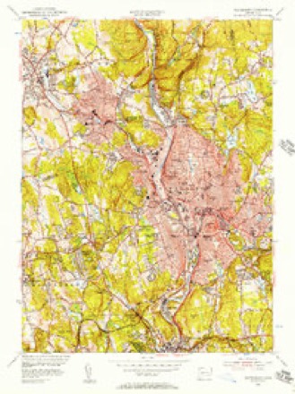
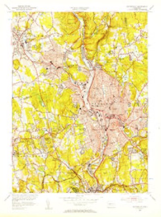
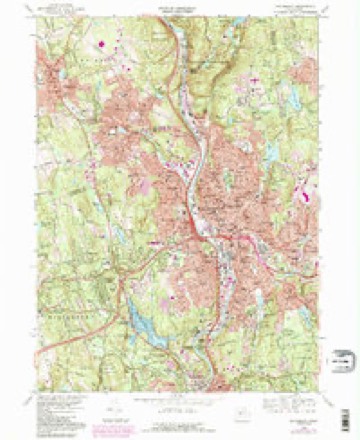
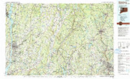
33 topographic sheets cover this place, the earliest surveyed in 1893 and the latest in 1993. It stands in Middlebury town. It lies in ZIP code area 06762. It stands on Shattuck Brook. The Survey maps it on the Waterbury quadrangle.
Topographic sheets covering this place
14 surveys from 33 printed sheetsMatched by testing this settlement's coordinate against the published boundary of every sheet in the United States Geological Survey's historical collection. Each opens the scanned sheet at the Survey.
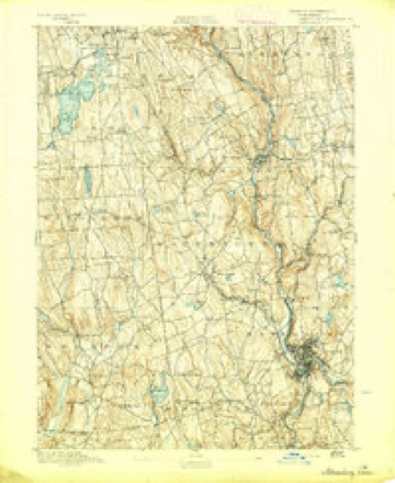
- 1893 USGS Waterbury quadrangle1:62500, 2 printings
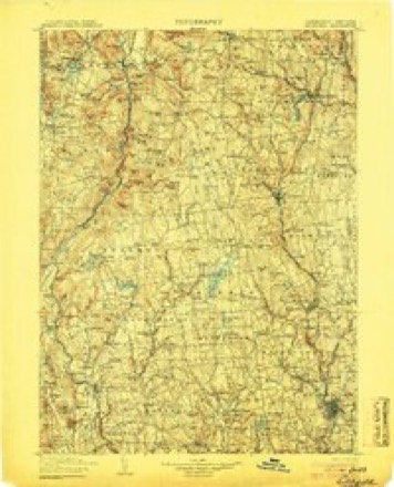
- 1904 USGS Litchfield quadrangle1:125000, 3 printings
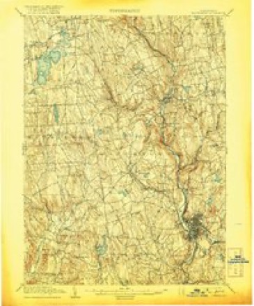
- 1904 USGS Waterbury quadrangle1:62500, 8 printings
- 1947 USGS Hartford quadrangle1:250000, 2 printings
- 1948 USGS Hartford quadrangle1:250000, 2 printings
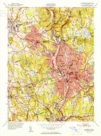
- 1951 USGS Waterbury quadrangle1:31680, 2 printings
- 1955 USGS Waterbury quadrangle1:24000
- 1955 USGS Waterbury quadrangle1:31680
- 1961 USGS Hartford quadrangle1:250000
- 1962 USGS Hartford quadrangle1:250000, 3 printings
- 1965 USGS Hartford quadrangle1:250000, 2 printings
- 1968 USGS Waterbury quadrangle1:24000, 4 printings
- 1985 USGS Waterbury quadrangle1:100000
- 1993 USGS Waterbury quadrangle1:100000





In the county-history sources
7,446 words on this townshipHistory of New Haven County, Connecticut, published 1892 names this settlement in its chapter on Middlebury Town. These are the passages that mention it, exactly as the scans read.
At the hamlet of Bradleyville, on Hop brook, near the east line of the town, Enos Bradley built a saw mill and clothing works sometime after 1795. He was a fine cloth dresser, and rough cloths were brought to this mill from all parts of the county. After his death, in 1845, Lyman Bradley manufactured here, making wagon wheels. At a later period he made pocket cutlery and disposed of this business to Samuel Root, who successfully manufactured pocket cutlery at that point. He employed a number of skilled English workmen and produced a fine line of goods. Operations were discontinued in 1887, and many buildings at Bradleyville, in consequence, have been vacated. In other parts of the town Nathan Newton and David Wooster carried on the manufacture of wagons.
Passage source: History of New Haven County, Connecticut, published 1892.
Machine-read from a century-old scan, so expect the errors a machine makes: misspelled names, dropped words, stray characters.
Read the whole chapter on Middlebury Town - it names this place 1 more 1 time.
Fires near this place
365 since 1992Regional context, not property-specific evidence. The federal wildfire occurrence database lists 365 fires within 5 miles of Bradleyville between 1992 and 2020, burning about 1,018 acres in total. None started naturally. 125 were recorded as arson. Distance is straight-line from the map coordinates, so a fire counted here may appear on a neighbouring settlement's page as well.
| Reported cause | Fires |
|---|---|
| Missing data/not specified/undetermined | 127 |
| Arson/incendiarism | 125 |
| Misuse of fire by a minor | 41 |
| Recreation and ceremony | 38 |
| Debris and open burning | 13 |
| Smoking | 8 |
| Railroad operations and maintenance | 8 |
| Equipment and vehicle use | 5 |
The most recent of them, most recent first, with the day each was reported and the service that recorded it.
| Date | Cause | Size | Reported by | Name on the report |
|---|---|---|---|---|
| 8 September 2000 | Arson/incendiarism | under an acre | Connecticut Division of Forestry | not named |
| 6 September 1995 | Arson/incendiarism | 3.0 acres | Connecticut Division of Forestry | not named |
| 4 September 2017 | Missing data/not specified/undetermined | under an acre | Connecticut Division of Forestry | CHRISTIAN ST |
| 3 September 2012 | Missing data/not specified/undetermined | under an acre | Connecticut Division of Forestry | MIDDLEBURY |
| 25 September 2016 | Recreation and ceremony | 2.3 acres | Connecticut Division of Forestry | CHESTNUT HILL ROAD NAUGATCK SF |
| 25 September 2016 | Recreation and ceremony | 4.2 acres | Connecticut Division of Forestry | RIMMON RIDGE FIRE |
| 23 September 2007 | Missing data/not specified/undetermined | under an acre | Connecticut Division of Forestry | not named |
| 2 September 2005 | Missing data/not specified/undetermined | under an acre | Connecticut Division of Forestry | not named |
Settlements close enough to share some of these fires:
Mines and quarries near this place
10 within 5 milesRegional context, not property-specific evidence. The federal mineral resources record lists 10 workings within 5 miles of Bradleyville: 5 producers, 3 past producers, 1 plant, 1 unknown. 6 still produce. What was taken out: Sand and Gravel, Construction, Iodine, Sand and Gravel, Construction, Stone, Crushed/Broken, Stone, Crushed/Broken. Distance is straight-line from the map coordinates, so a quarry counted here may appear on a neighbouring settlement's page as well.
| Where | Site | Commodity | Status | Recorded |
|---|---|---|---|---|
| Bogue Mill | Stone, Crushed/Broken | Unknown | Surface | |
| Mariano Pit | Sand and Gravel, Construction, Stone, Crushed/Broken | Producer | ||
| Naugatuck Plant | Iodine | Plant | ||
| Colonial Sand & Gravel Co. Pit | Sand and Gravel, Construction | Producer | ||
| Colonial Sand and Gravel Co. Pit | Sand and Gravel, Construction | Past Producer | Sedimentary | |
| Finco Mine | Sand and Gravel, Construction | Producer | ||
| Pearl Lake Road Pit | Sand and Gravel, Construction | Past Producer | Sedimentary | |
| Pearl Lake Road Pit | Sand and Gravel, Construction | Producer | ||
| Prospect Plant | Sand and Gravel, Construction | Past Producer | Sedimentary | |
| Prospect Quarry & Plant | Sand and Gravel, Construction | Producer |
Nearest settlements
The eight closest, with where each one stands in the county. Distances are straight-line, computed from the Geographic Names Information System coordinates.
| Map | Place | Distance | Sheets |
|---|---|---|---|
| Westview Heights | 1.0 miles | 33 | |
| Oronoke | 1.3 miles | 33 | |
| Platts Mills | 1.7 miles | 33 | |
| Glen Ridge | 1.8 miles | 33 | |
| Hillcrest | 1.8 miles | 33 | |
| Town Plot Hill | 1.9 miles | 33 | |
| Robert Hutt Congregate Housing | 1.9 miles | 35 | |
| Millville | 2.4 miles | 35 |
Provenance
This settlement is recorded in the Geographic Names Information System as feature 212421. The sheet list is computed by point-in-boundary test against the United States Geological Survey's historical topographic inventory. Both are works of the United States government and carry no copyright under 17 U.S.C. 105.
Wildfire. Short, Karen C. 2022. Spatial wildfire occurrence data for the United States, 1992-2020 [FPA_FOD_20221014]. 6th Edition. Fort Collins, CO: Forest Service Research Data Archive. https://doi.org/10.2737/RDS-2013-0009.6 Collected with United States Government funding and usable without additional permissions or fees.
Mines and quarries. USGS Mineral Resources Data System (MRDS) https://mrdata.usgs.gov/mrds/ A work of the United States government, no copyright under 17 U.S.C. 105.