 Block
Millville, Connecticut
35 topographic sheets cover this place, the earliest surveyed in 1889 and the latest in 1986. It stands in Naugatuck town. It lies in ZIP code area 06770. It stands on Long Meadow Pond Brook. The Survey maps it on the Naugatuck quadrangle.
On record in Millville
Buildings and businesses the archive holds for this place. Each opens its own page, with the source record it came from.
On the National Register within a mile 4 records
The National Register names another town for these. They stand within one mile of this settlement's coordinate.
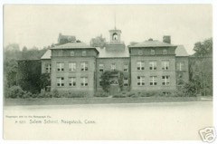 Salem Schoollisted 1983 · 0.5 miles away
 US Post Office-Naugatuck Mainlisted 1986 · 0.6 miles away
 Naugatuck Center Historic Districtlisted 1999 · 0.6 miles away
 Bronson B. Tuttle Houselisted 1990 · 0.7 miles away
Topographic sheets covering this place
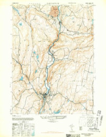
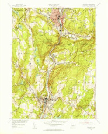
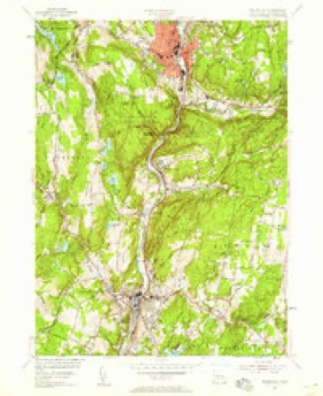
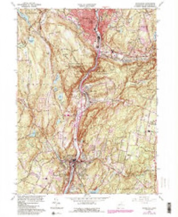
13 surveys from 35 printed sheetsMatched by testing this settlement's coordinate against the published boundary of every sheet in the United States Geological Survey's historical collection. Each opens the scanned sheet at the Survey.
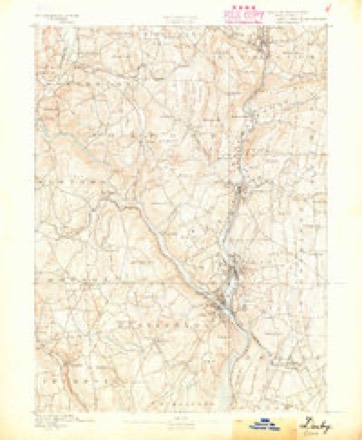
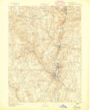
- 1889 USGS Derby quadrangle1:62500
- 1891 USGS Derby quadrangle1:62500
- 1893 USGS Derby quadrangle1:62500, 9 printings
- 1943 USGS Naugatuck quadrangle1:31680, 2 printings
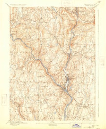
- 1947 USGS Hartford quadrangle1:250000, 2 printings
- 1948 USGS Hartford quadrangle1:250000, 2 printings
- 1954 USGS Naugatuck quadrangle1:31680
- 1954 USGS Naugatuck quadrangle1:24000, 2 printings
- 1961 USGS Hartford quadrangle1:250000
- 1962 USGS Hartford quadrangle1:250000, 3 printings
- 1964 USGS Naugatuck quadrangle1:24000, 6 printings
- 1965 USGS Hartford quadrangle1:250000, 2 printings
- 1986 USGS Bridgeport quadrangle1:100000, 3 printings






In the county-history sources
28,216 words on this townshipHistory of New Haven County, Connecticut, published 1892 names this settlement in its chapter on Naugatuck Town. These are the passages that mention it, exactly as the scans read.
Samuel, Edmund and John Scott, sons of Edmund Scott, Jr., of Waterbury, who had been allotted lands along Scott's or Towantic brook, were among the early prominent settlers of that region, much of it being in the Millville section. Samuel Scott also owned land on the side of Strait's mountain, which he gave to his son, Gideon, in 1752. In 1785 Gideon Scott had a house where is now the intersection of Scott and Cross streets, and where, in 1843, George Hoadley erected a new dwelling, using the old cellar wall. For many years this Scott family was very numerous in that part of the town.
Passage source: History of New Haven County, Connecticut, published 1892.
Near the present Millville school house Daniel Williams, commonly called " Dan " Williams, made substantial improvements before 1740. He died in 1754, and his son, Daniel, conveyed some of the land to John Lewis, but descendants remained in that part of the town.
Passage source: History of New Haven County, Connecticut, published 1892.
The town farm is one-half a mile west from the center, on the Millville road, and consists of 110 acres. When purchased, in 1861, there was an old saw mill on the place. It is maintained at an expense of about $3,000 per year, and the receipts from the farm are about $1,800 per year. More than 30 inmates are admitted annually.
Passage source: History of New Haven County, Connecticut, published 1892.
Machine-read from a century-old scan, so expect the errors a machine makes: misspelled names, dropped words, stray characters.
Read the whole chapter on Naugatuck Town - it names this place 4 more 4 times.
Fires near this place
609 since 1992Regional context, not property-specific evidence. The federal wildfire occurrence database lists 609 fires within 5 miles of Millville between 1992 and 2020, burning about 1,357 acres in total. None started naturally. 165 were recorded as arson. Distance is straight-line from the map coordinates, so a fire counted here may appear on a neighbouring settlement's page as well.
| Reported cause | Fires |
|---|---|
| Missing data/not specified/undetermined | 267 |
| Arson/incendiarism | 165 |
| Recreation and ceremony | 57 |
| Misuse of fire by a minor | 54 |
| Debris and open burning | 37 |
| Smoking | 14 |
| Railroad operations and maintenance | 8 |
| Equipment and vehicle use | 6 |
| Power generation/transmission/distribution | 1 |
The most recent of them, most recent first, with the day each was reported and the service that recorded it.
| Date | Cause | Size | Reported by | Name on the report |
|---|---|---|---|---|
| 8 September 2000 | Arson/incendiarism | under an acre | Connecticut Division of Forestry | not named |
| 7 September 2004 | Missing data/not specified/undetermined | under an acre | Connecticut Division of Forestry | not named |
| 7 September 2004 | Missing data/not specified/undetermined | under an acre | Connecticut Division of Forestry | not named |
| 7 September 1994 | Debris and open burning | under an acre | Connecticut Division of Forestry | not named |
| 7 September 1994 | Recreation and ceremony | under an acre | Connecticut Division of Forestry | not named |
| 6 September 1995 | Arson/incendiarism | under an acre | Connecticut Division of Forestry | not named |
| 6 September 1995 | Arson/incendiarism | 3.0 acres | Connecticut Division of Forestry | not named |
| 4 September 2017 | Missing data/not specified/undetermined | under an acre | Connecticut Division of Forestry | CHRISTIAN ST |
Settlements close enough to share some of these fires:
Mines and quarries near this place
10 of 18 shownRegional context, not property-specific evidence. The federal mineral resources record lists 18 workings within 5 miles of Millville: 9 producers, 5 past producers, 2 unknowns, 1 occurrence. 10 still produce. What was taken out: Sand and Gravel, Construction, Copper, Iron, Iodine. Distance is straight-line from the map coordinates, so a quarry counted here may appear on a neighbouring settlement's page as well.
| Where | Site | Commodity | Status | Recorded |
|---|---|---|---|---|
| Bogue Mill | Stone, Crushed/Broken | Unknown | Surface | |
| Copper Prospect No. Ek-002 | Copper, Iron | Occurrence | Disseminations In Metamor | |
| D & J Quarry | Stone | Producer | ||
| Mariano Pit | Sand and Gravel, Construction, Stone, Crushed/Broken | Producer | ||
| Naugatuck Plant | Iodine | Plant | ||
| Beacon Falls Pit | Sand and Gravel, Construction | Past Producer | Sedimentary | |
| Beacon Falls Pit | Sand and Gravel, Construction | Producer | ||
| Colonial Sand & Gravel Co. Pit | Sand and Gravel, Construction | Producer | ||
| Colonial Sand and Gravel Co. Pit | Sand and Gravel, Construction | Past Producer | Sedimentary | |
| Falls Road Pit | Sand and Gravel, Construction | Producer |
Nearest settlements
The eight closest, with where each one stands in the county. Distances are straight-line, computed from the Geographic Names Information System coordinates.
| Map | Place | Distance | Sheets |
|---|---|---|---|
| Robert Hutt Congregate Housing | 0.5 miles | 35 | |
| Glen Ridge | 0.7 miles | 33 | |
| Naugatuck | 0.9 miles | 35 | |
| Union City | 1.1 miles | 35 | |
| Platts Mills | 1.8 miles | 33 | |
| Straitsville | 2.3 miles | 35 | |
| Bradleyville | 2.4 miles | 33 | |
| Hopeville | 3.3 miles | 33 |
Provenance
This settlement is recorded in the Geographic Names Information System as feature 208941. The sheet list is computed by point-in-boundary test against the United States Geological Survey's historical topographic inventory. Both are works of the United States government and carry no copyright under 17 U.S.C. 105.
Wildfire. Short, Karen C. 2022. Spatial wildfire occurrence data for the United States, 1992-2020 [FPA_FOD_20221014]. 6th Edition. Fort Collins, CO: Forest Service Research Data Archive. https://doi.org/10.2737/RDS-2013-0009.6 Collected with United States Government funding and usable without additional permissions or fees.
Mines and quarries. USGS Mineral Resources Data System (MRDS) https://mrdata.usgs.gov/mrds/ A work of the United States government, no copyright under 17 U.S.C. 105.