 Block
Buckingham, Connecticut
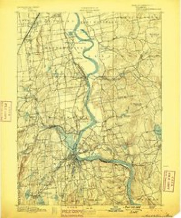
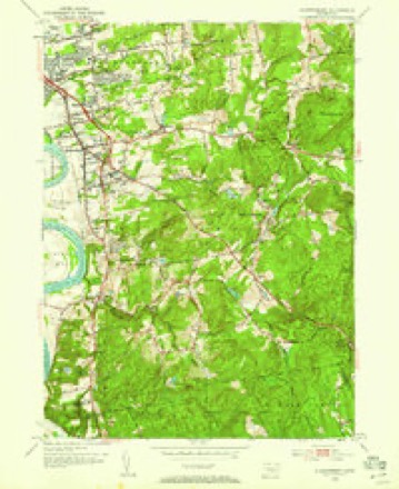
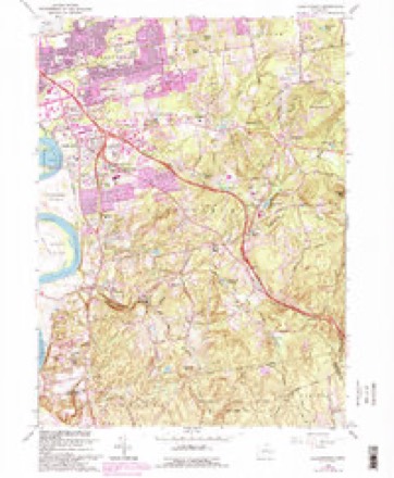
37 topographic sheets cover this place, the earliest surveyed in 1893 and the latest in 1994. It stands in Glastonbury town. It lies in ZIP code area 06033. It lies near Minnechaug Mountain. The Survey maps it on the Glastonbury quadrangle.
Topographic sheets covering this place
14 surveys from 37 printed sheetsMatched by testing this settlement's coordinate against the published boundary of every sheet in the United States Geological Survey's historical collection. Each opens the scanned sheet at the Survey.
- 1893 USGS Middletown quadrangle1:62500, 10 printings
- 1906 USGS Farmington quadrangle1:125000, 2 printings
- 1928 USGS Glastonbury quadrangle1:24000
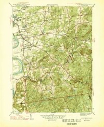
- 1946 USGS Glastonbury quadrangle1:31680, 2 printings
- 1947 USGS Hartford quadrangle1:250000, 2 printings
- 1948 USGS Hartford quadrangle1:250000, 2 printings
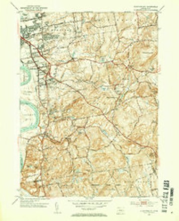
- 1953 USGS Glastonbury quadrangle1:31680, 2 printings
- 1953 USGS Glastonbury quadrangle1:24000
- 1961 USGS Hartford quadrangle1:250000
- 1962 USGS Hartford quadrangle1:250000, 3 printings
- 1964 USGS Glastonbury quadrangle1:24000, 6 printings
- 1965 USGS Hartford quadrangle1:250000, 2 printings
- 1986 USGS Hartford quadrangle1:100000
- 1994 USGS Hartford quadrangle1:100000, 2 printings








In the county-history sources
10,239 words on this townshipThe Memorial History of Hartford County, Connecticut, 1633-1884;, published 1886 names this settlement in its chapter on Glastonbury Town. These are the passages that mention it, exactly as the scans read.
Many of the farms on the " street " are now held by the lineal descendants of the first settlers ; and in the case of the Welles family, descendants of Governor Thomas Welles, the descendants of George Hubbard, Frances Kilbourn, and John Hollister, the titles go back to the survey of 1640. The descendants of Richard Smith, Samuel Hale, Samuel Talcott,^ William Goodrich, Thomas Treat, and Edward Benton still own a portion of the lands their ancestors improved in 1684. Wright's Island has been in the family of James Wright ever since the first allotment in 1640. In the East Farms, noAv comprising Avhat is known as East Glastonbury and Buckingham, the land was taken up at a later period, but the families of Andrews, Curtis, Dickinson, Goslee, Hills, Hodge, Hollister, House, Howe, and Strickland trace their titles for nearly two centuries.
Passage source: The Memorial History of Hartford County, Connecticut, 1633-1884;, published 1886.
On the removal of the ancient Congregational place of worship to its present location, their attendance increased so that in 1847 the old house was taken down and a new one built near Roaring Brook, in the present village of East Glastonbury. This is a beautiful edifice,^ and with its sister church farther up the valley in Buckingham rings forth the sound of the " church-going bell " as the fathers in this portion of the town never heard in their generation.
Passage source: The Memorial History of Hartford County, Connecticut, 1633-1884;, published 1886.
The small stream next south has been improved by Francis Taylor for many years past as the motive-power for a saw and grist mill. Mr. Taylor and the Messrs. Howe, in Buckingham, did formerly a large business in coopering, but the disuse of cider and of wooden powder-kegs has made it much less.
Passage source: The Memorial History of Hartford County, Connecticut, 1633-1884;, published 1886.
Machine-read from a century-old scan, so expect the errors a machine makes: misspelled names, dropped words, stray characters.
Read the whole chapter on Glastonbury Town - it names this place 2 more 2 times.
Fires near this place
18 since 1993Regional context, not property-specific evidence. The federal wildfire occurrence database lists 18 fires within 5 miles of Buckingham between 1993 and 2020, burning about 173 acres in total. None started naturally. 2 were recorded as arson. Distance is straight-line from the map coordinates, so a fire counted here may appear on a neighbouring settlement's page as well.
| Reported cause | Fires |
|---|---|
| Missing data/not specified/undetermined | 11 |
| Debris and open burning | 3 |
| Arson/incendiarism | 2 |
| Recreation and ceremony | 1 |
| Smoking | 1 |
The most recent of them, most recent first, with the day each was reported and the service that recorded it.
| Date | Cause | Size | Reported by | Name on the report |
|---|---|---|---|---|
| 15 September 2010 | Missing data/not specified/undetermined | 6.0 acres | Connecticut Division of Forestry | not named |
| 20 August 2020 | Missing data/not specified/undetermined | under an acre | Connecticut Division of Forestry | 311 OLCOTT STREET (LANDFILL) |
| 28 June 2020 | Missing data/not specified/undetermined | under an acre | Connecticut Division of Forestry | 89 BIRCH MOUNTAIN ROAD |
| 9 May 2007 | Smoking | under an acre | Connecticut Division of Forestry | not named |
| 4 May 2015 | Missing data/not specified/undetermined | under an acre | Connecticut Division of Forestry | not named |
| 4 May 1993 | Missing data/not specified/undetermined | 25 acres | Connecticut Division of Forestry | not named |
| 23 May 2016 | Missing data/not specified/undetermined | under an acre | Connecticut Division of Forestry | RT 85 / NORTH ST HEBRON CT |
| 1 May 1999 | Arson/incendiarism | 44 acres | Connecticut Division of Forestry | not named |
Settlements close enough to share some of these fires:
Mines and quarries near this place
10 of 37 shownRegional context, not property-specific evidence. The federal mineral resources record lists 37 workings within 5 miles of Buckingham: 32 past producers, 2 producers, 2 prospects, 1 unknown. 2 still produce. What was taken out: Stone, Dimension, Granite, Sand and Gravel, Construction, Stone. Distance is straight-line from the map coordinates, so a quarry counted here may appear on a neighbouring settlement's page as well.
| Where | Site | Commodity | Status | Recorded |
|---|---|---|---|---|
| Brack Beryl Prospect | Beryllium | Prospect | ||
| Feldspar Pegmatite Quarries No. Cj-013 | Feldspar | Past Producer | Feldspar, Quartz | |
| Pegmatite Quarries | Beryllium, Feldspar, Mica | Past Producer | ||
| Spinelli Feldspar-Samarskite Pegmatite Prospect Quarry | Tantalum, REE, Niobium (Columbium), Beryllium, Mica, Feldspar | Past Producer | 1940 | |
| Spinelli Samarskite Prospect | Mica | Prospect | ||
| Wyllys Copper Mine | Copper | Past Producer | ||
| Granite Gneiss Rock Quarries No. Cj-030 | Stone | Past Producer | ||
| Granite Gneiss Rock Quarry No. Bj-001 | Stone | Past Producer | Gneiss | |
| Glastonbury Town Pit | Sand and Gravel, Construction | Past Producer | ||
| Hebron Avenue Operation | Sand and Gravel, Construction | Unknown |
Nearest settlements
The eight closest, with where each one stands in the county. Distances are straight-line, computed from the Geographic Names Information System coordinates.
| Map | Place | Distance | Sheets |
|---|---|---|---|
| East Glastonbury | 1.4 miles | 37 | |
| Hassunadchuauck (historical) | 2.8 miles | 37 | |
| Addison | 2.9 miles | 37 | |
| Highland Park | 3.9 miles | 33 | |
| Glastonbury Center | 4.2 miles | 37 | |
| Welles Village | 4.2 miles | 37 | |
| Oxford Village | 4.3 miles | 35 | |
| Forbes Village | 4.3 miles | 37 |
Provenance
This settlement is recorded in the Geographic Names Information System as feature 205796. The sheet list is computed by point-in-boundary test against the United States Geological Survey's historical topographic inventory. Both are works of the United States government and carry no copyright under 17 U.S.C. 105.
Wildfire. Short, Karen C. 2022. Spatial wildfire occurrence data for the United States, 1992-2020 [FPA_FOD_20221014]. 6th Edition. Fort Collins, CO: Forest Service Research Data Archive. https://doi.org/10.2737/RDS-2013-0009.6 Collected with United States Government funding and usable without additional permissions or fees.
Mines and quarries. USGS Mineral Resources Data System (MRDS) https://mrdata.usgs.gov/mrds/ A work of the United States government, no copyright under 17 U.S.C. 105.