 Block
East Glastonbury, Connecticut
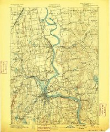
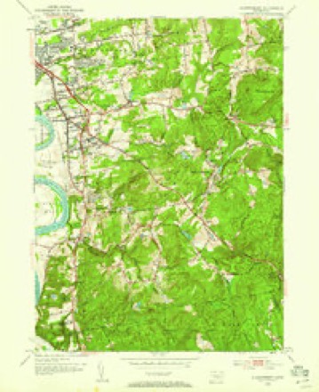
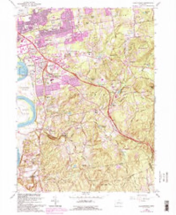
37 topographic sheets cover this place, the earliest surveyed in 1893 and the latest in 1994. It stands in Glastonbury town. It lies in ZIP code area 06033. It stands on Wintergreen Brook. The Survey maps it on the Glastonbury quadrangle.
Topographic sheets covering this place
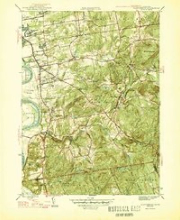
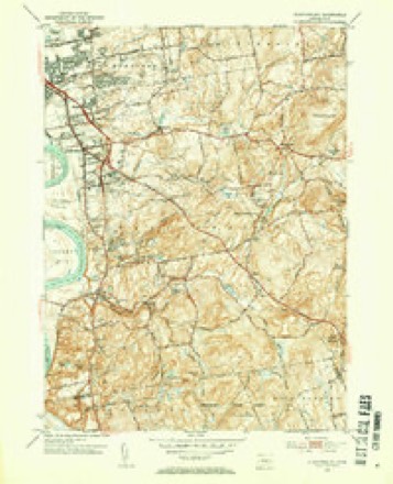
14 surveys from 37 printed sheetsMatched by testing this settlement's coordinate against the published boundary of every sheet in the United States Geological Survey's historical collection. Each opens the scanned sheet at the Survey.
- 1893 USGS Middletown quadrangle1:62500, 10 printings
- 1906 USGS Farmington quadrangle1:125000, 2 printings
- 1928 USGS Glastonbury quadrangle1:24000
- 1946 USGS Glastonbury quadrangle1:31680, 2 printings
- 1947 USGS Hartford quadrangle1:250000, 2 printings
- 1948 USGS Hartford quadrangle1:250000, 2 printings
- 1953 USGS Glastonbury quadrangle1:31680, 2 printings
- 1953 USGS Glastonbury quadrangle1:24000
- 1961 USGS Hartford quadrangle1:250000
- 1962 USGS Hartford quadrangle1:250000, 3 printings
- 1964 USGS Glastonbury quadrangle1:24000, 6 printings
- 1965 USGS Hartford quadrangle1:250000, 2 printings
- 1986 USGS Hartford quadrangle1:100000
- 1994 USGS Hartford quadrangle1:100000, 2 printings








In the county-history sources
10,239 words on this townshipThe Memorial History of Hartford County, Connecticut, 1633-1884;, published 1886 names this settlement in its chapter on Glastonbury Town. These are the passages that mention it, exactly as the scans read.
Many of the farms on the " street " are now held by the lineal descendants of the first settlers ; and in the case of the Welles family, descendants of Governor Thomas Welles, the descendants of George Hubbard, Frances Kilbourn, and John Hollister, the titles go back to the survey of 1640. The descendants of Richard Smith, Samuel Hale, Samuel Talcott,^ William Goodrich, Thomas Treat, and Edward Benton still own a portion of the lands their ancestors improved in 1684. Wright's Island has been in the family of James Wright ever since the first allotment in 1640. In the East Farms, noAv comprising Avhat is known as East Glastonbury and Buckingham, the land was taken up at a later period, but the families of Andrews, Curtis, Dickinson, Goslee, Hills, Hodge, Hollister, House, Howe, and Strickland trace their titles for nearly two centuries.
Passage source: The Memorial History of Hartford County, Connecticut, 1633-1884;, published 1886.
On the removal of the ancient Congregational place of worship to its present location, their attendance increased so that in 1847 the old house was taken down and a new one built near Roaring Brook, in the present village of East Glastonbury. This is a beautiful edifice,^ and with its sister church farther up the valley in Buckingham rings forth the sound of the " church-going bell " as the fathers in this portion of the town never heard in their generation.
Passage source: The Memorial History of Hartford County, Connecticut, 1633-1884;, published 1886.
We now come to Roaring Brook, which, rising in the extreme northeast corner of this town, nearly bisects it diagonally to its mouth at South Glastonbury. Although its power is well improved now, the review of its former labors will compare favorably with the present in number. Near its head was formerly a saw-mill run by Xatlianiel Hubbard. Still further down is the site of another and ancient saw-mill on the noted if not valuable " Coop farm." It is now owned, with other lands on the stream below, by Charles H. Owen, Esq. About a mile farther down are the vestiges of another saw-mill. Still farther, and the old blacksmith shop on the Hebron road, remembered by many yet living as the place of the true and faithful work of Deacon Asa Goslee and his son Asa, which formerly, with its large undershot wheel and trip-hammer, took advantage of the water-power and is now abandoned. Hardly a vestige remains of the dam still farther on, which was connected with a clothier's shop some seventy years ago. Passing up the branch known as Slab Brook, w^e are on the site of the saw-mill grant to Jonathan Treat, used in the early part of the century by Fraray Hale, Jr., as a place for a carding-machine. Some of the dam-logs and the excavation for the raceway are there, but no one living ever saw the building. Still farther east, in a lot carved from the farm a portion of which is owned by the writer, are a cellar and wheel-pit, which the traditions of more than a hundred years fix as the site of a linseed-oil mill. Below, on the main stream, were the saw-mill and carding-machine of Elijah Covell, where for so many years he counselled the boys and praised the girls of succeeding generations. The old stream now passes it un vexed by any wheel. The reservoir of the Crosby Manufacturing Company comes next, furnishing the power for their mill in East Glastonbury village, a short distance below. This mill is a substantial edifice of stone, and was built about 1840 by the Roaring Brook Manufacturing Company for the making of cotton and woollen goods, - that is, satinets. William C. Sparks was the agent until its dissolution in 1862, when the mill passed into the hands of Edwin Crosl)y and Sereno Hubbard, and was operated by them during the war with great profit, having been considerably enlarged. After the death of Mr. Hubbard it passed to Edwin Crosby, thence to E. Crosby & Sons, and is now ow
Passage source: The Memorial History of Hartford County, Connecticut, 1633-1884;, published 1886.
Machine-read from a century-old scan, so expect the errors a machine makes: misspelled names, dropped words, stray characters.
Read the whole chapter on Glastonbury Town - it names this place 2 more 2 times.
Fires near this place
14 since 1993Regional context, not property-specific evidence. The federal wildfire occurrence database lists 14 fires within 5 miles of East Glastonbury between 1993 and 2020, burning about 168 acres in total. None started naturally. 2 were recorded as arson. Distance is straight-line from the map coordinates, so a fire counted here may appear on a neighbouring settlement's page as well.
| Reported cause | Fires |
|---|---|
| Missing data/not specified/undetermined | 7 |
| Debris and open burning | 2 |
| Arson/incendiarism | 2 |
| Recreation and ceremony | 1 |
| Smoking | 1 |
| Power generation/transmission/distribution | 1 |
The most recent of them, most recent first, with the day each was reported and the service that recorded it.
| Date | Cause | Size | Reported by | Name on the report |
|---|---|---|---|---|
| 15 September 2010 | Missing data/not specified/undetermined | 6.0 acres | Connecticut Division of Forestry | not named |
| 9 August 2020 | Power generation/transmission/distribution | under an acre | Connecticut Division of Forestry | NAUBUC AVENUE |
| 4 July 2016 | Missing data/not specified/undetermined | under an acre | Connecticut Division of Forestry | 290 N MAIN ST MARLBOROUGH CT |
| 9 May 2007 | Smoking | under an acre | Connecticut Division of Forestry | not named |
| 7 May 2015 | Missing data/not specified/undetermined | 2.0 acres | Connecticut Division of Forestry | not named |
| 4 May 1993 | Missing data/not specified/undetermined | 25 acres | Connecticut Division of Forestry | not named |
| 1 May 1999 | Arson/incendiarism | 44 acres | Connecticut Division of Forestry | not named |
| 7 April 2020 | Missing data/not specified/undetermined | 1.0 acres | Connecticut Division of Forestry | OLMSTEAD RD/WICKHAM RD |
Settlements close enough to share some of these fires:
Mines and quarries near this place
10 of 45 shownRegional context, not property-specific evidence. The federal mineral resources record lists 45 workings within 5 miles of East Glastonbury: 38 past producers, 3 producers, 3 prospects, 1 unknown. 3 still produce. What was taken out: Stone, Dimension, Granite, Feldspar, Beryllium, Feldspar, Mica. Distance is straight-line from the map coordinates, so a quarry counted here may appear on a neighbouring settlement's page as well.
| Where | Site | Commodity | Status | Recorded |
|---|---|---|---|---|
| Brack Beryl Prospect | Beryllium | Prospect | ||
| Hollister Mica & Beryl Quarry | Beryllium, Mica, Feldspar | Past Producer | ||
| Hollister Mica Beryl Prospect | Feldspar, Mica, Beryllium, Tantalum, Niobium (Columbium) | Producer | Pegmatite Dike | |
| Hollister Mica Beryl Prospect | Feldspar, Mica, Beryllium | Prospect | ||
| Pegmatite Quarries | Mica, Beryllium, Feldspar | Past Producer | ||
| Spinelli Feldspar-Samarskite Pegmatite Prospect Quarry | Tantalum, REE, Niobium (Columbium), Beryllium, Mica, Feldspar | Past Producer | 1940 | |
| Spinelli Samarskite Prospect | Mica | Prospect | ||
| Amphibolite Gneiss Rock Quarries No. Cj-014 | Stone | Past Producer | ||
| Glastonbury Town Pit | Sand and Gravel, Construction | Past Producer | ||
| Granite Gneiss Rock Quarries No. Cj-030 | Stone | Past Producer |
Nearest settlements
The eight closest, with where each one stands in the county. Distances are straight-line, computed from the Geographic Names Information System coordinates.
| Map | Place | Distance | Sheets |
|---|---|---|---|
| Buckingham | 1.4 miles | 37 | |
| Addison | 2.8 miles | 37 | |
| Hopewell | 3.3 miles | 37 | |
| Hassunadchuauck (historical) | 3.5 miles | 37 | |
| Glastonbury Center | 3.5 miles | 37 | |
| South Glastonbury | 3.8 miles | 37 | |
| Glastonbury | 4.1 miles | 37 | |
| Cotton Hollow | 4.2 miles | 37 |
Elsewhere
Matched on this settlement's Geographic Names Information System number rather than its name, so it cannot be a different place of the same name in another state.
| Wikidata item Q135800636 | The structured record the population and elevation above come from. Public domain (CC0). |
Provenance
This settlement is recorded in the Geographic Names Information System as feature 206813. The sheet list is computed by point-in-boundary test against the United States Geological Survey's historical topographic inventory. Both are works of the United States government and carry no copyright under 17 U.S.C. 105.
Wildfire. Short, Karen C. 2022. Spatial wildfire occurrence data for the United States, 1992-2020 [FPA_FOD_20221014]. 6th Edition. Fort Collins, CO: Forest Service Research Data Archive. https://doi.org/10.2737/RDS-2013-0009.6 Collected with United States Government funding and usable without additional permissions or fees.
Mines and quarries. USGS Mineral Resources Data System (MRDS) https://mrdata.usgs.gov/mrds/ A work of the United States government, no copyright under 17 U.S.C. 105.