 Block
Cromwell, Connecticut
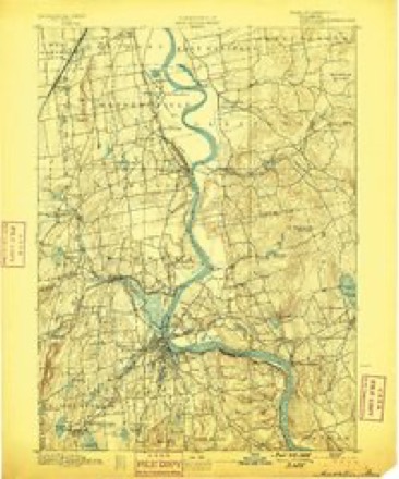
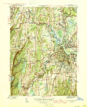
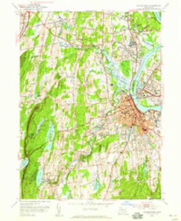
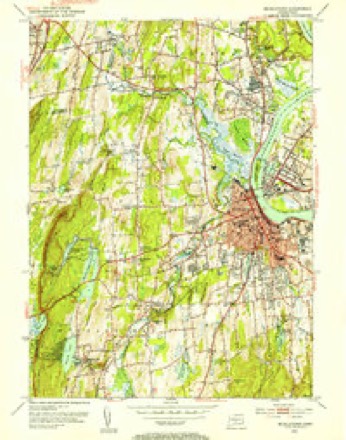
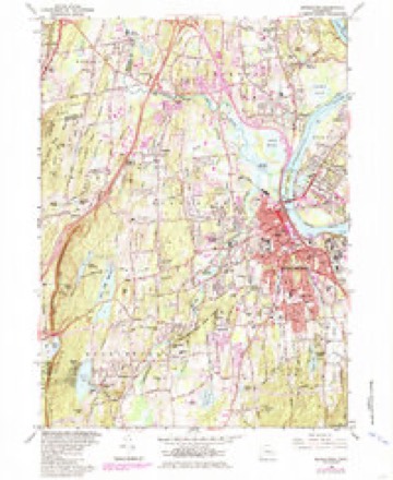
36 topographic sheets cover this place, the earliest surveyed in 1893 and the latest in 1994. It stands in Cromwell town. It lies in ZIP code area 06416. It lies near Nooks Hill. The Survey maps it on the Middletown quadrangle.
On record in Cromwell
Buildings and businesses the archive holds for this place. Each opens its own page, with the source record it came from.
On the National Register 3 records
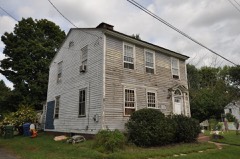 Middletown Upper Houses Historic Districtlisted 1979
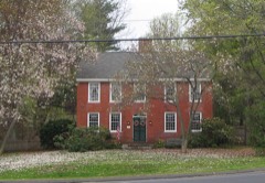 Sage-Kirby Houselisted 1982
- Main Street Historic Districtlisted 1985
Topographic sheets covering this place
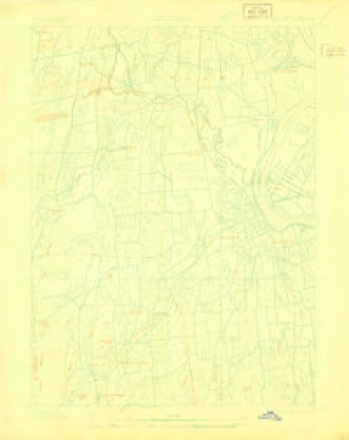
14 surveys from 36 printed sheetsMatched by testing this settlement's coordinate against the published boundary of every sheet in the United States Geological Survey's historical collection. Each opens the scanned sheet at the Survey.
- 1893 USGS Middletown quadrangle1:62500, 10 printings
- 1906 USGS Farmington quadrangle1:125000, 2 printings
- 1928 USGS Cromwell quadrangle1:24000
- 1945 USGS Middletown quadrangle1:31680, 2 printings
- 1947 USGS Hartford quadrangle1:250000, 2 printings
- 1948 USGS Hartford quadrangle1:250000, 2 printings
- 1952 USGS Middletown quadrangle1:24000
- 1952 USGS Middletown quadrangle1:31680, 2 printings
- 1961 USGS Hartford quadrangle1:250000
- 1962 USGS Hartford quadrangle1:250000, 3 printings
- 1965 USGS Hartford quadrangle1:250000, 2 printings
- 1965 USGS Middletown quadrangle1:24000, 5 printings
- 1986 USGS Hartford quadrangle1:100000
- 1994 USGS Hartford quadrangle1:100000, 2 printings








In the county-history sources
18,105 words on this townshipHistory of Middlesex County, Connecticut, with Biographical Sketches of Its Prominent Men, published 1884 names this settlement in its chapter on Cromwell Town. These are the passages that mention it, exactly as the scans read.
VERY little is known in regard to the occupancy of the territory now embraced in the town of Cromwell, previous to the coming of the first white settlers. It belonged to the same Indian tribe that lived in Middletown. The chief of the tribe, at this time, was Sowheag. His castle was in Middletown, not far from Indian Hill. His territory was known by the Indian name of Mattabesett.
Passage source: History of Middlesex County, Connecticut, with Biographical Sketches of Its Prominent Men, published 1884.
The committee, who first visited this region, to prospect for settlement, reported that fifteen families might obtain subsistence. A much larger number were on the ground within one year. In September 165 1, town privileges were granted to the colony. In 1653, the place was first called Middletown. The original township included land on both sides of the Connecticut River. The towns of Portland, Chatham, Middlefield. and Cromwell were included in the township.
Passage source: History of Middlesex County, Connecticut, with Biographical Sketches of Its Prominent Men, published 1884.
The separate history of Upper tlouses, or Cromwell, begins with the organization of a new parish, known at first as the North Society of Middletown, in 1703. The distance between the two settlements and condition of the meadows in times of high water caused great inconvenience at certain seasons. This led to early efforts to secure church and school privileges. At a town meeting held May sih 1690, the town granted the
Passage source: History of Middlesex County, Connecticut, with Biographical Sketches of Its Prominent Men, published 1884.
Machine-read from a century-old scan, so expect the errors a machine makes: misspelled names, dropped words, stray characters.
Read the whole chapter on Cromwell Town - it names this place 37 more 37 times.
Fires near this place
31 since 1996Regional context, not property-specific evidence. The federal wildfire occurrence database lists 31 fires within 5 miles of Cromwell between 1996 and 2020, burning about 97 acres in total. None started naturally. 5 were recorded as arson. Distance is straight-line from the map coordinates, so a fire counted here may appear on a neighbouring settlement's page as well.
| Reported cause | Fires |
|---|---|
| Missing data/not specified/undetermined | 22 |
| Arson/incendiarism | 5 |
| Debris and open burning | 3 |
| Recreation and ceremony | 1 |
The most recent of them, most recent first, with the day each was reported and the service that recorded it.
| Date | Cause | Size | Reported by | Name on the report |
|---|---|---|---|---|
| 30 September 2007 | Debris and open burning | under an acre | Connecticut Division of Forestry | not named |
| 26 September 2017 | Missing data/not specified/undetermined | under an acre | Connecticut Division of Forestry | 810 SAYBROOK RD. |
| 5 August 2007 | Missing data/not specified/undetermined | 1.0 acres | Connecticut Division of Forestry | not named |
| 28 August 2017 | Recreation and ceremony | under an acre | Connecticut Division of Forestry | NORTH MULFORD RD. |
| 5 July 2010 | Arson/incendiarism | 2.0 acres | Connecticut Division of Forestry | not named |
| 4 July 2010 | Arson/incendiarism | 2.0 acres | Connecticut Division of Forestry | not named |
| 31 July 2017 | Missing data/not specified/undetermined | 2.0 acres | Connecticut Division of Forestry | BROOKS RD |
| 19 July 2016 | Missing data/not specified/undetermined | 1.0 acres | Connecticut Division of Forestry | ROUTE 9 SOUTHBOUND |
Settlements close enough to share some of these fires:
Mines and quarries near this place
10 of 83 shownRegional context, not property-specific evidence. The federal mineral resources record lists 83 workings within 5 miles of Cromwell: 65 past producers, 10 producers, 5 prospects, 2 occurrences. 11 still produce. What was taken out: Feldspar, Stone, Dimension, Sand and Gravel, Construction, Beryllium, Mica. Distance is straight-line from the map coordinates, so a quarry counted here may appear on a neighbouring settlement's page as well.
| Where | Site | Commodity | Status | Recorded |
|---|---|---|---|---|
| Barite Occurrences No. Cj-070 | Barium-Barite, Calcium, Quartz | Occurrence | Void Fill | |
| Case Beryl Prospects | Feldspar, Beryllium, Mica, Silica, Niobium (Columbium), Tantalum | Past Producer | ||
| Gotta-Walden Mica-Beryl Prospect | Beryllium, Feldspar, Mica, Tantalum, Niobium (Columbium), Silica | Prospect | ||
| Governor Winthrops Mine | Gold | Past Producer | ||
| Hale-Walker Beryl Prospect and Feldspar Mine | Beryllium, Tantalum, Niobium (Columbium), Feldspar | Past Producer | 1932 | |
| Hollister Mica & Beryl Quarry | Beryllium, Mica, Feldspar | Past Producer | ||
| Hollister Mica Beryl Prospect | Feldspar, Mica, Beryllium, Tantalum, Niobium (Columbium) | Producer | Pegmatite Dike | |
| Hollister Mica Beryl Prospect | Feldspar, Mica, Beryllium | Prospect | ||
| Middletown Lead-Silver Mine | Silver, Lead | Past Producer | 1776 | |
| Middletown Lead-Silver Mine | Lead, Stone | Past Producer |
Storms near this place
3 since 2000Regional context, not property-specific evidence. The National Weather Service names Cromwell in 3 storm reports between 2000 and 2007: 2 thunderstorm wind, 1 lightning. The reports record 1 injury. Each account below is quoted exactly as the forecast office filed it, from the NOAA Storm Events Database, and each date opens the federal record of that event.
Nearest settlements
The eight closest, with where each one stands in the county. Distances are straight-line, computed from the Geographic Names Information System coordinates.
| Map | Place | Distance | Sheets |
|---|---|---|---|
| North Cromwell | 1.1 miles | 36 | |
| Gildersleeve | 1.3 miles | 35 | |
| Portland | 1.6 miles | 36 | |
| Oxford Park | 1.6 miles | 36 | |
| Goodrich Heights | 1.8 miles | 36 | |
| Cromwell Hills | 2.2 miles | 36 | |
| Middletown | 2.3 miles | 36 | |
| Fogelmarks Corners | 2.3 miles | 35 |
Provenance
This settlement is recorded in the Geographic Names Information System as feature 206527. The sheet list is computed by point-in-boundary test against the United States Geological Survey's historical topographic inventory. Both are works of the United States government and carry no copyright under 17 U.S.C. 105.
Wildfire. Short, Karen C. 2022. Spatial wildfire occurrence data for the United States, 1992-2020 [FPA_FOD_20221014]. 6th Edition. Fort Collins, CO: Forest Service Research Data Archive. https://doi.org/10.2737/RDS-2013-0009.6 Collected with United States Government funding and usable without additional permissions or fees.
Mines and quarries. USGS Mineral Resources Data System (MRDS) https://mrdata.usgs.gov/mrds/ A work of the United States government, no copyright under 17 U.S.C. 105.
Storms. NOAA National Centers for Environmental Information, Storm Events Database https://www.ncei.noaa.gov/stormevents/ A work of the United States government, no copyright under 17 U.S.C. 105. Narratives are quoted verbatim from the National Weather Service report and are not edited or summarised.