 Block
Gildersleeve, Connecticut
35 topographic sheets cover this place, the earliest surveyed in 1893 and the latest in 1994. It stands in Portland town. It lies in ZIP code area 06480. It stands on Carr Brook. The Survey maps it on the Middle Haddam quadrangle.
On record in Gildersleeve
Buildings and businesses the archive holds for this place. Each opens its own page, with the source record it came from.
On the National Register within a mile 2 records
The National Register names another town for these. They stand within one mile of this settlement's coordinate.
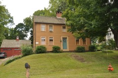 Indian Hill Avenue Historic Districtlisted 1983 · 0.2 miles away
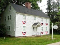 White-Overton-Callander Houselisted 2014 · 0.8 miles away
Topographic sheets covering this place
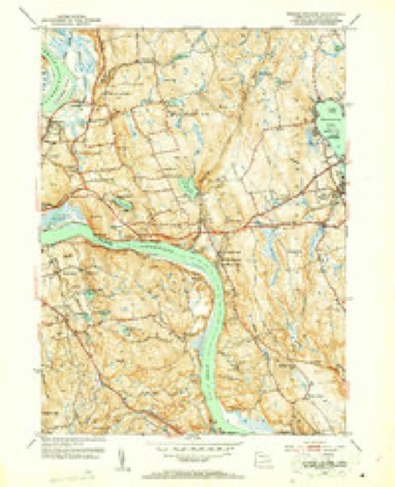
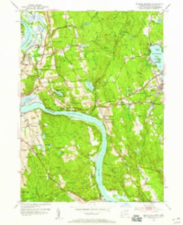
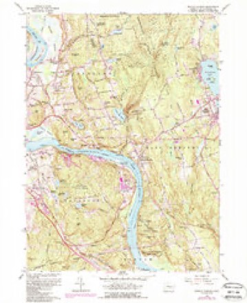
13 surveys from 35 printed sheetsMatched by testing this settlement's coordinate against the published boundary of every sheet in the United States Geological Survey's historical collection. Each opens the scanned sheet at the Survey.
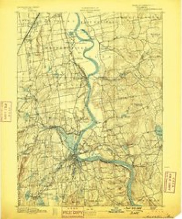
- 1893 USGS Middletown quadrangle1:62500, 10 printings
- 1906 USGS Farmington quadrangle1:125000, 2 printings
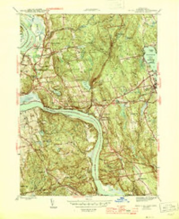
- 1945 USGS Middle Haddam quadrangle1:31680, 2 printings
- 1947 USGS Hartford quadrangle1:250000, 2 printings
- 1948 USGS Hartford quadrangle1:250000, 2 printings
- 1952 USGS Middle Haddam quadrangle1:31680, 2 printings
- 1952 USGS Middle Haddam quadrangle1:24000
- 1961 USGS Hartford quadrangle1:250000
- 1961 USGS Middle Haddam quadrangle1:24000, 5 printings
- 1962 USGS Hartford quadrangle1:250000, 3 printings
- 1965 USGS Hartford quadrangle1:250000, 2 printings
- 1986 USGS Hartford quadrangle1:100000
- 1994 USGS Hartford quadrangle1:100000, 2 printings








In the county-history sources
40,974 words on this townshipHistory of Middlesex County, Connecticut, with Biographical Sketches of Its Prominent Men, published 1884 names this settlement in its chapter on Portland Town. These are the passages that mention it, exactly as the scans read.
The shipyard of Gildersleeve & Sons is at the upper end of the village called Gildersleeve. This village has a post office and a large brick store. An account of the shipyard, churches, schools, and industries of the town will be found under those respective heads.
Passage source: History of Middlesex County, Connecticut, with Biographical Sketches of Its Prominent Men, published 1884.
Not many years ago, a row of Indian " fire places," or rings of stones inside of which they built their fires, still remained at the fish place, showing where their wigwams had stood. It is said that the house of the sachem, or perhaps the council lodge, stood on the corner now occupied by Mr. Hubbard's house, opposite Gildersleeve's store. The lot back of Newman Goff's is still called " hot house lot," from its being the place of an ancient Indian " sanitarium," made by digging iti the river bank a hole, in which was placed a hot stone, the top being covered with boughs or a blanket, over which the Indian was placed.
Passage source: History of Middlesex County, Connecticut, with Biographical Sketches of Its Prominent Men, published 1884.
Indian Hill was also the place where they held their grand " pow-wows:" trying by dances and incantations to conciliate or communicate with the evil spirit. As they believed the good spirit was too good to hurt anybody, it was not considered necessary to pay so much attention to him, though they made an annual feast to thank him for bountiful harvests, etc. There is a rock by the river, just by the ice house of Gildersleeve & Sons, always known as " Devil's Rock." It bears a mark somewhat resembling a large footprint, and the legend tells that once, when a great pow-wow was in progress, the evil spirit, being invoked, rushed up from the " Blow hole " in a whirlwind, seized a young Indian, and jumped off the rock with him into the river; leaving the impression of his foot upon the rock. There is an account of one of their pow-wows in De Forest's "History of the Indians of Connecticut." In 1734, a man named Richard Treat attempted to educate the Wangunks. He instructed 12 or 14 children, and held also a weekly meeting for religious instruction for such of the Indians as would attend. At the end of four months, however, finding no one disposed to assist or reward him, he gave up his efforts.
Passage source: History of Middlesex County, Connecticut, with Biographical Sketches of Its Prominent Men, published 1884.
Machine-read from a century-old scan, so expect the errors a machine makes: misspelled names, dropped words, stray characters.
Read the whole chapter on Portland Town - it names this place 45 more 45 times.
Fires near this place
32 since 1996Regional context, not property-specific evidence. The federal wildfire occurrence database lists 32 fires within 5 miles of Gildersleeve between 1996 and 2020, burning about 100 acres in total. None started naturally. 5 were recorded as arson. Distance is straight-line from the map coordinates, so a fire counted here may appear on a neighbouring settlement's page as well.
| Reported cause | Fires |
|---|---|
| Missing data/not specified/undetermined | 23 |
| Arson/incendiarism | 5 |
| Debris and open burning | 3 |
| Recreation and ceremony | 1 |
The most recent of them, most recent first, with the day each was reported and the service that recorded it.
| Date | Cause | Size | Reported by | Name on the report |
|---|---|---|---|---|
| 30 September 2007 | Debris and open burning | under an acre | Connecticut Division of Forestry | not named |
| 26 September 2017 | Missing data/not specified/undetermined | under an acre | Connecticut Division of Forestry | 810 SAYBROOK RD. |
| 5 August 2007 | Missing data/not specified/undetermined | 1.0 acres | Connecticut Division of Forestry | not named |
| 29 August 2015 | Missing data/not specified/undetermined | under an acre | Connecticut Division of Forestry | not named |
| 28 August 2017 | Recreation and ceremony | under an acre | Connecticut Division of Forestry | NORTH MULFORD RD. |
| 5 July 2010 | Arson/incendiarism | 2.0 acres | Connecticut Division of Forestry | not named |
| 4 July 2010 | Arson/incendiarism | 2.0 acres | Connecticut Division of Forestry | not named |
| 31 July 2017 | Missing data/not specified/undetermined | 2.0 acres | Connecticut Division of Forestry | BROOKS RD |
Settlements close enough to share some of these fires:
Mines and quarries near this place
10 of 92 shownRegional context, not property-specific evidence. The federal mineral resources record lists 92 workings within 5 miles of Gildersleeve: 73 past producers, 10 producers, 7 prospects, 1 occurrence. 11 still produce. What was taken out: Feldspar, Stone, Dimension, Beryllium, Mica, Sand and Gravel, Construction. Distance is straight-line from the map coordinates, so a quarry counted here may appear on a neighbouring settlement's page as well.
| Where | Site | Commodity | Status | Recorded |
|---|---|---|---|---|
| Case Beryl Prospects | Feldspar, Beryllium, Mica, Silica, Niobium (Columbium), Tantalum | Past Producer | ||
| Chatham Great Hill Cobalt Nickel Arsenopyrite Mine | Arsenic, Iron, Nickel, Cobalt, Sulfur, Zinc, Lead, Copper | Past Producer | 1661 | |
| Chatham Great Hill Mine | Cobalt, Nickel | Past Producer | Vein | |
| Garnet Mine | Garnet | Past Producer | ||
| Gotta-Walden Mica-Beryl Prospect | Beryllium, Feldspar, Mica, Tantalum, Niobium (Columbium), Silica | Prospect | ||
| Governor Winthrops Mine | Gold | Past Producer | ||
| Hale-Walker Beryl Prospect and Feldspar Mine | Beryllium, Tantalum, Niobium (Columbium), Feldspar | Past Producer | 1932 | |
| Hollister Mica & Beryl Quarry | Beryllium, Mica, Feldspar | Past Producer | ||
| Hollister Mica Beryl Prospect | Feldspar, Mica, Beryllium, Tantalum, Niobium (Columbium) | Producer | Pegmatite Dike | |
| Hollister Mica Beryl Prospect | Feldspar, Mica, Beryllium | Prospect |
Storms near this place
1 since 2011Regional context, not property-specific evidence. The National Weather Service names Gildersleeve in 1 storm report in 2011: 1 flash flood. No death or injury is recorded in these reports. Each account below is quoted exactly as the forecast office filed it, from the NOAA Storm Events Database, and each date opens the federal record of that event.
| When | Event | Place named | Harm | What the report says |
|---|---|---|---|---|
| July 2011 | Flash Flood | Gildersleeve | $250,000 | Runoff from heavy rain caused a number of basements of government buildings and individual homes and businesses to be flooded throughout the town of Portland. The flooding caused extensive damage to town and school records and other materials that were stored in the basement of the Brownstone Intermediate School on Main St. and the Senior Center on Waverly Ave., which houses the Portland Food Bank. Water rescues were also performed by local authorities on Main St. near the Arrigoni Bridge which stretches over the Connecticut River. Total property damage is estimated. |
Nearest settlements
The eight closest, with where each one stands in the county. Distances are straight-line, computed from the Geographic Names Information System coordinates.
| Map | Place | Distance | Sheets |
|---|---|---|---|
| Fogelmarks Corners | 1.0 miles | 35 | |
| Cromwell | 1.3 miles | 36 | |
| North Cromwell | 1.6 miles | 36 | |
| Portland | 2.0 miles | 36 | |
| Goodrich Heights | 2.2 miles | 36 | |
| Oxford Park | 2.7 miles | 36 | |
| Middletown | 2.9 miles | 36 | |
| South Farms | 3.2 miles | 36 |
Provenance
This settlement is recorded in the Geographic Names Information System as feature 207300. The sheet list is computed by point-in-boundary test against the United States Geological Survey's historical topographic inventory. Both are works of the United States government and carry no copyright under 17 U.S.C. 105.
Wildfire. Short, Karen C. 2022. Spatial wildfire occurrence data for the United States, 1992-2020 [FPA_FOD_20221014]. 6th Edition. Fort Collins, CO: Forest Service Research Data Archive. https://doi.org/10.2737/RDS-2013-0009.6 Collected with United States Government funding and usable without additional permissions or fees.
Mines and quarries. USGS Mineral Resources Data System (MRDS) https://mrdata.usgs.gov/mrds/ A work of the United States government, no copyright under 17 U.S.C. 105.
Storms. NOAA National Centers for Environmental Information, Storm Events Database https://www.ncei.noaa.gov/stormevents/ A work of the United States government, no copyright under 17 U.S.C. 105. Narratives are quoted verbatim from the National Weather Service report and are not edited or summarised.