 Block
Fort Trumbull, Connecticut
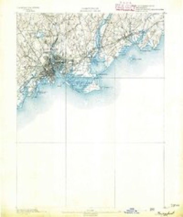
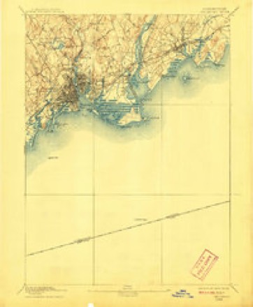
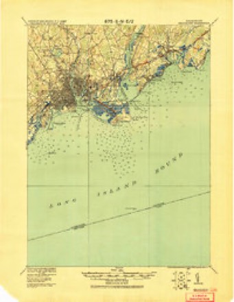
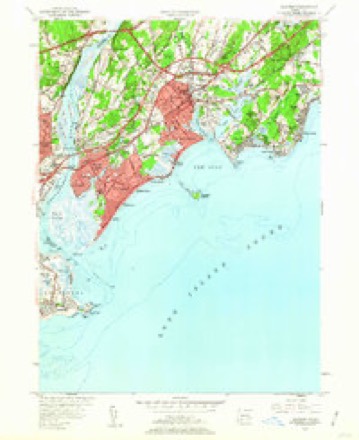
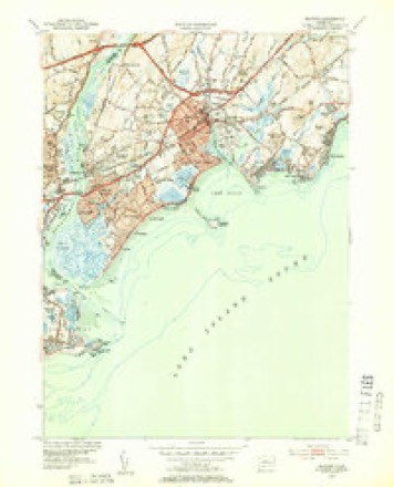
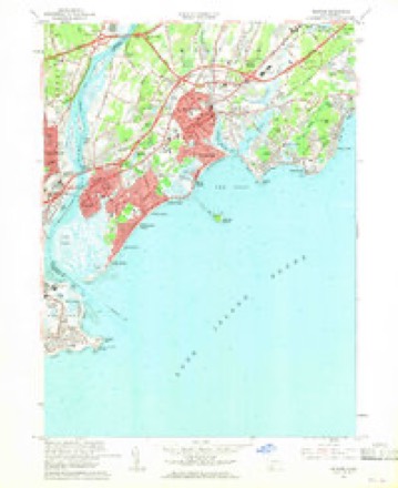
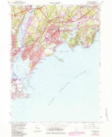
31 topographic sheets cover this place, the earliest surveyed in 1891 and the latest in 1986. It stands in Milford town. It lies in ZIP code area 06460. It stands on Great Creek. The Survey maps it on the Milford quadrangle.
On record in Fort Trumbull
Buildings and businesses the archive holds for this place. Each opens its own page, with the source record it came from.
On the National Register within a mile 4 records
The National Register names another town for these. They stand within one mile of this settlement's coordinate.
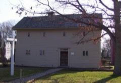 Eells-Stow Houselisted 1977 · 0.6 miles away
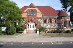 Taylor Memorial Librarylisted 1979 · 0.9 miles away
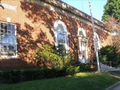 US Post Office-Milford Mainlisted 1986 · 1.0 miles away
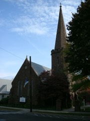 St. Peter's Episcopal Churchlisted 1979 · 1.0 miles away
Topographic sheets covering this place
13 surveys from 31 printed sheetsMatched by testing this settlement's coordinate against the published boundary of every sheet in the United States Geological Survey's historical collection. Each opens the scanned sheet at the Survey.
- 1891 USGS Bridgeport quadrangle1:62500
- 1893 USGS Bridgeport quadrangle1:62500, 8 printings
- 1920 USGS Bridgeport quadrangle1:62500
- 1947 USGS Hartford quadrangle1:250000, 2 printings
- 1948 USGS Hartford quadrangle1:250000, 2 printings
- 1951 USGS Milford quadrangle1:24000, 2 printings
- 1951 USGS Milford quadrangle1:31680
- 1960 USGS Milford quadrangle1:24000, 4 printings
- 1961 USGS Hartford quadrangle1:250000
- 1962 USGS Hartford quadrangle1:250000, 3 printings
- 1965 USGS Hartford quadrangle1:250000, 2 printings
- 1984 USGS Milford quadrangle1:24000
- 1986 USGS Bridgeport quadrangle1:100000, 3 printings






In the county-history sources
34,124 words on this townshipHistory of New Haven County, Connecticut, published 1892 names this settlement in its chapter on Milford Town. These are the passages that mention it, exactly as the scans read.
In the war of 1812. when Joseph Piatt was the captain, the company marched to old Fort Trumbull to repel the British if they should attempt to land from their vessels, which appeared off shore. But the enemy soon left these parts, and -the Grenadiers saw no further service in that war. In 1816 the company attained its zenith, having in all about 70 men, and embracing the leading young men of the town. A waning interest, caused by dissatisfaction by being deprived of its time-honored position, on the right of the regiment, and the organization of an artillery company at Milford, led to the dissolution of the company, in 1836, while Charles Tibbals was the captain. Two years later another light infantry company was in existence, with Jason Bristol, captain, and Captain John Smith commanded the artillery. The former disbanded in 1849. The latter was for many years a successful organization.
Passage source: History of New Haven County, Connecticut, published 1892.
A minute post was at once established, under the direction of Captain Isaac Miles. In the spring of 1776 a small earthwork was erected at Burns' Point, about where is now Colonel Fall's residence, in which a battery of guns was placed for the defense of the harbor. It was erected by the town, aided by the colony, and was called Fort Trumbull. From this fact arose the name of Trumbull avenue, in that locality. A lookout was also kept at Burwell's Farm, and another at Poconoc Point.
Passage source: History of New Haven County, Connecticut, published 1892.
Machine-read from a century-old scan, so expect the errors a machine makes: misspelled names, dropped words, stray characters.
Fires near this place
17 since 1993Regional context, not property-specific evidence. The federal wildfire occurrence database lists 17 fires within 5 miles of Fort Trumbull between 1993 and 2020, burning about 257 acres in total. None started naturally. 5 were recorded as arson. Distance is straight-line from the map coordinates, so a fire counted here may appear on a neighbouring settlement's page as well.
| Reported cause | Fires |
|---|---|
| Missing data/not specified/undetermined | 8 |
| Arson/incendiarism | 5 |
| Debris and open burning | 2 |
| Fireworks | 1 |
| Equipment and vehicle use | 1 |
The most recent of them, most recent first, with the day each was reported and the service that recorded it.
| Date | Cause | Size | Reported by | Name on the report |
|---|---|---|---|---|
| 1 August 2020 | Missing data/not specified/undetermined | under an acre | Connecticut Division of Forestry | I-95, EXITS 31-32 |
| 5 July 1993 | Missing data/not specified/undetermined | 2.0 acres | Connecticut Division of Forestry | not named |
| 4 July 2016 | Fireworks | under an acre | Connecticut Division of Forestry | QUAIL STREET STRATFORD |
| 26 July 1999 | Arson/incendiarism | 100 acres | Connecticut Division of Forestry | not named |
| 23 July 1993 | Equipment and vehicle use | 1.0 acres | Connecticut Division of Forestry | not named |
| 19 July 1993 | Arson/incendiarism | under an acre | Connecticut Division of Forestry | not named |
| 11 July 1999 | Arson/incendiarism | under an acre | Connecticut Division of Forestry | not named |
| 4 May 1994 | Arson/incendiarism | 1.5 acres | Connecticut Division of Forestry | not named |
Settlements close enough to share some of these fires:
Mines and quarries near this place
7 within 5 milesRegional context, not property-specific evidence. The federal mineral resources record lists 7 workings within 5 miles of Fort Trumbull: 4 past producers, 2 unknowns, 1 plant. 1 still produces. What was taken out: Sand and Gravel, Construction, Stone, Iron, Marble, Dimension. Distance is straight-line from the map coordinates, so a quarry counted here may appear on a neighbouring settlement's page as well.
| Where | Site | Commodity | Status | Recorded |
|---|---|---|---|---|
| Bridgeport Steel/ Milford, Ct. | Iron | Plant | ||
| Milford Green Marble Quarry | Marble, Dimension | Past Producer | ||
| Quarries | Stone, Dimension | Past Producer | ||
| Gneiss Rock Quarries No. Ek-033 | Stone | Past Producer | Gneiss, Schist | |
| Gorman Aggregates Operation | Sand and Gravel, Construction | Unknown | ||
| Limestone Rock Quarry No. El-002 | Stone | Past Producer | Unknown | |
| Oronoque Pit | Sand and Gravel, Construction | Unknown |
Nearest settlements
The eight closest, with where each one stands in the county. Distances are straight-line, computed from the Geographic Names Information System coordinates.
| Map | Place | Distance | Sheets |
|---|---|---|---|
| Silver Beach | 0.7 miles | 31 | |
| Milford | 0.9 miles | 31 | |
| City of Milford (balance) | 1.0 miles | 31 | |
| Bayview | 1.4 miles | 31 | |
| Myrtle Beach | 1.4 miles | 31 | |
| Walnut Beach | 1.8 miles | 31 | |
| Point Beach | 2.0 miles | 31 | |
| Naugatuck Gardens | 2.1 miles | 31 |
Provenance
This settlement is recorded in the Geographic Names Information System as feature 207155. The sheet list is computed by point-in-boundary test against the United States Geological Survey's historical topographic inventory. Both are works of the United States government and carry no copyright under 17 U.S.C. 105.
Wildfire. Short, Karen C. 2022. Spatial wildfire occurrence data for the United States, 1992-2020 [FPA_FOD_20221014]. 6th Edition. Fort Collins, CO: Forest Service Research Data Archive. https://doi.org/10.2737/RDS-2013-0009.6 Collected with United States Government funding and usable without additional permissions or fees.
Mines and quarries. USGS Mineral Resources Data System (MRDS) https://mrdata.usgs.gov/mrds/ A work of the United States government, no copyright under 17 U.S.C. 105.