 Block
Milford, Connecticut
31 topographic sheets cover this place, the earliest surveyed in 1891 and the latest in 1986. It stands in Milford town. It lies in ZIP code area 06460. It stands on Wepawaug River. The Survey maps it on the Milford quadrangle. 50,558 people lived here at the 2020 count. It stands 397 feet above sea level.
On record in Milford
Buildings and businesses the archive holds for this place. Each opens its own page, with the source record it came from.
On the National Register 10 records
 Academy of Our Lady of Mercy at Lauralton Halllisted 2011
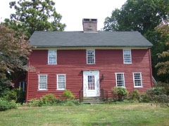 Buckingham Houselisted 1977
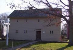 Eells-Stow Houselisted 1977
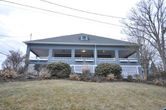 Laurel Beach Casinolisted 2018
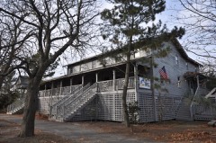 Milford Point Hotellisted 1988
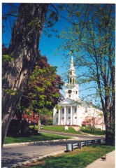 River Park Historic Districtlisted 1986
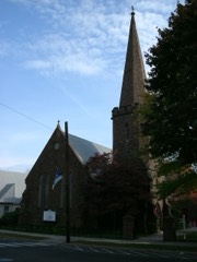 St. Peter's Episcopal Churchlisted 1979
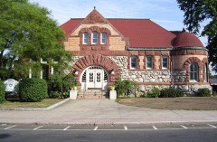 Taylor Memorial Librarylisted 1979
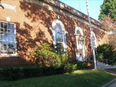 US Post Office-Milford Mainlisted 1986
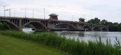 Washington Bridgelisted 2004
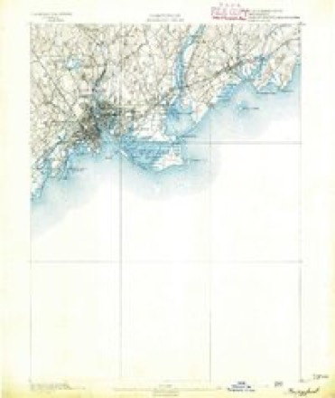
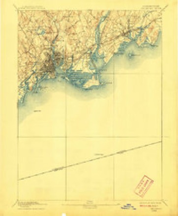
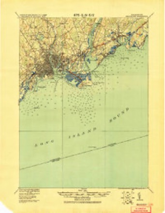
Topographic sheets covering this place
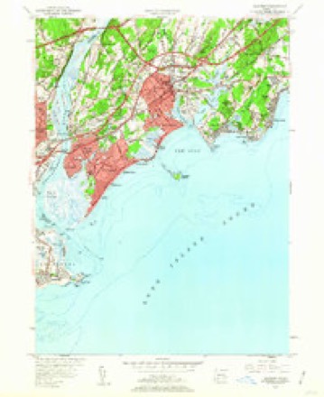
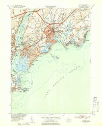
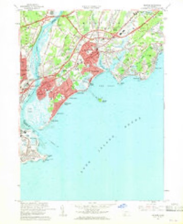
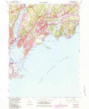
13 surveys from 31 printed sheetsMatched by testing this settlement's coordinate against the published boundary of every sheet in the United States Geological Survey's historical collection. Each opens the scanned sheet at the Survey.
- 1891 USGS Bridgeport quadrangle1:62500
- 1893 USGS Bridgeport quadrangle1:62500, 8 printings
- 1920 USGS Bridgeport quadrangle1:62500
- 1947 USGS Hartford quadrangle1:250000, 2 printings
- 1948 USGS Hartford quadrangle1:250000, 2 printings
- 1951 USGS Milford quadrangle1:24000, 2 printings
- 1951 USGS Milford quadrangle1:31680
- 1960 USGS Milford quadrangle1:24000, 4 printings
- 1961 USGS Hartford quadrangle1:250000
- 1962 USGS Hartford quadrangle1:250000, 3 printings
- 1965 USGS Hartford quadrangle1:250000, 2 printings
- 1984 USGS Milford quadrangle1:24000
- 1986 USGS Bridgeport quadrangle1:100000, 3 printings






In the county-history sources
34,124 words on this townshipHistory of New Haven County, Connecticut, published 1892 names this settlement in its chapter on Milford Town. These are the passages that mention it, exactly as the scans read.
THE town of Milford, dating from its settlement, in 1639, is, next to New Haven, the oldest in the county, and one of the oldest in the state. When purchased of the Indians, and for several years later, this territory was called Wepawaug,* but since November 24th, 1640, the formal name has been Milford. The town occupies the southwestern corner of the county, being bounded on the south by Long Island sound, on the west by the Housatonic river, and northeast by the town of Orange, its area having a triangular shape, the apex being at Poconoc point. The general surface is level, there being no high hills and only a limited amount of broken land. In some localities the rock crops out and the ground is covered with boulders. In the eastern part of the town is a considerable deposit of fine serpentine marble, discovered in 1811, and later developed to some extent. Limestone may be obtained in the northern part of the town, flagging stone in the western part, and shale rock in other parts. Hence, the soil is also variable, and is usually fairly fertile. By skillful cultivation it has been made productive enough to make agriculture, which has been made the leading occupation of the inhabitants, remunerative. There are in the town considerable areas of alluvial lands, some of which are scarcely above the water level, and bear evidence that in periods not very remote they were submerged. Among these tracts are the Great and New Meadows, along the Housatonic, and the French and Indian River meadows. Along the sound inlets are tidal lands, and in other parts of the town are swamps of considerable extent, the chief ones being called Dreadful, Great and Mohawk swamps.
Passage source: History of New Haven County, Connecticut, published 1892.
The streams of the town are not large, but afford fair drainage. The Wepawaug or Mill river is a little more than a dozen miles long from its source in Woodbridge through its course in Orange and the central part of this town to its mouth at Milford harbor. It affords a number of good mill seats. The Indian river also rises in Woodbridge, but in the eastern part, and flowing southwest finds an outlet in Indian gulf or Milford gulf, whose waters pour into the sound near those of Milford harbor. In the extreme east is the Oyster river, separating the coast parts of Milford and Orange. The West End brook is in the western part of the village of Milford and flows into the harbor, below the village. Beaver brook is in the western part of the town, flowing southwest, and emptying into the Housatonic. At the mouth of this river, which is here about one mile wide, a long, sandy beach has been formed by the contra action of the waves on the sound and those flowing into the river, which is called Poconoc or Milford Point. It has for hundreds of years been a favorite resort of fishermen, and was once improved for a seaside resort. Eastward along the sound is next a point of land called Meadow's End, east of which are salt meadows. Extending thence eastward to the harbor is Burn's Point, a high, dry point of land, which has been improved for summer residences. A small beach permits bathing. Off this shore and about three-fourths of a mile from it is Charles or Milford island. It is pleasantly shaped, and contains about ten acres of land, much of which was formerly timbered. The Indians called it Poquapaug, and it was a place where they delighted to resort in the summer. It is said that the sachem, Ansantawae, here had his " big wigwam." The bar between the island and the shore is bare about half of the time, and formerly afforded excellent clamming, fine ones being found there.
Passage source: History of New Haven County, Connecticut, published 1892.
In the records of Milford appear more than 80 names of localities in the town, some of which have long since become obsolete, by reason of the changes in the topography of the country. Other old names have been displaced by new ones, some more and others less appropriate than the original titles.
Passage source: History of New Haven County, Connecticut, published 1892.
Machine-read from a century-old scan, so expect the errors a machine makes: misspelled names, dropped words, stray characters.
Read the whole chapter on Milford Town - it names this place 149 more 149 times.
Fires near this place
18 since 1993Regional context, not property-specific evidence. The federal wildfire occurrence database lists 18 fires within 5 miles of Milford between 1993 and 2020, burning about 258 acres in total. None started naturally. 5 were recorded as arson. Distance is straight-line from the map coordinates, so a fire counted here may appear on a neighbouring settlement's page as well.
| Reported cause | Fires |
|---|---|
| Missing data/not specified/undetermined | 9 |
| Arson/incendiarism | 5 |
| Debris and open burning | 2 |
| Fireworks | 1 |
| Equipment and vehicle use | 1 |
The most recent of them, most recent first, with the day each was reported and the service that recorded it.
| Date | Cause | Size | Reported by | Name on the report |
|---|---|---|---|---|
| 1 August 2020 | Missing data/not specified/undetermined | under an acre | Connecticut Division of Forestry | I-95, EXITS 31-32 |
| 5 July 1993 | Missing data/not specified/undetermined | 2.0 acres | Connecticut Division of Forestry | not named |
| 4 July 2016 | Fireworks | under an acre | Connecticut Division of Forestry | QUAIL STREET STRATFORD |
| 26 July 1999 | Arson/incendiarism | 100 acres | Connecticut Division of Forestry | not named |
| 23 July 1993 | Equipment and vehicle use | 1.0 acres | Connecticut Division of Forestry | not named |
| 21 July 2020 | Missing data/not specified/undetermined | under an acre | Connecticut Division of Forestry | 100 HAWLEY LANE |
| 19 July 1993 | Arson/incendiarism | under an acre | Connecticut Division of Forestry | not named |
| 11 July 1999 | Arson/incendiarism | under an acre | Connecticut Division of Forestry | not named |
Settlements close enough to share some of these fires:
Mines and quarries near this place
7 within 5 milesRegional context, not property-specific evidence. The federal mineral resources record lists 7 workings within 5 miles of Milford: 4 past producers, 2 unknowns, 1 plant. 1 still produces. What was taken out: Sand and Gravel, Construction, Stone, Iron, Marble, Dimension. Distance is straight-line from the map coordinates, so a quarry counted here may appear on a neighbouring settlement's page as well.
| Where | Site | Commodity | Status | Recorded |
|---|---|---|---|---|
| Bridgeport Steel/ Milford, Ct. | Iron | Plant | ||
| Milford Green Marble Quarry | Marble, Dimension | Past Producer | ||
| Quarries | Stone, Dimension | Past Producer | ||
| Gneiss Rock Quarries No. Ek-033 | Stone | Past Producer | Gneiss, Schist | |
| Gorman Aggregates Operation | Sand and Gravel, Construction | Unknown | ||
| Limestone Rock Quarry No. El-002 | Stone | Past Producer | Unknown | |
| Oronoque Pit | Sand and Gravel, Construction | Unknown |
Storms near this place
17 since 1994Regional context, not property-specific evidence. The National Weather Service names Milford in 17 storm reports between 1994 and 2012: 5 flash flood, 4 thunderstorm wind, 3 lightning, 1 hail. The reports record 2 deaths and 1 injury. Each account below is quoted exactly as the forecast office filed it, from the NOAA Storm Events Database, and each date opens the federal record of that event.
| When | Event | Place named | Harm | What the report says |
|---|---|---|---|---|
| October 2002 | Rip Current | Milford | 2 killed | no account filed |
| August 2001 | Lightning | Milford | 1 hurt | no account filed |
| June 2010 | Thunderstorm Wind | Milford | $15,000 | Several trees and tree limbs were reported down in Milford, closing sections of roadway, including Ardmore Street and Red Root Lane. A tent was blown off an outdoor furniture sale, with storm destroying several thousand dollars worth of furniture as a result. |
| September 2012 | Flash Flood | Milford | - | Flood waters entered the first floor of the Milford Mall in Milford. Twenty five homes and businesses, including City Hall, were also flooded. |
| May 1994 | Hail | Milford | - | Police reported golf ball-size hail. |
| April 2007 | Flood | Milford | - | no account filed |
| July 2006 | Flash Flood | Milford | - | no account filed |
| March 2001 | Flash Flood | Milford | - | no account filed |
| September 2001 | Lightning | Milford | - | no account filed |
| August 2001 | Thunderstorm Wind | Milford | - | no account filed |
| April 2000 | Flash Flood | Milford | - | no account filed |
| November 2000 | Heavy Rain | Milford | - | no account filed |
| August 2000 | Flash Flood | Milford | - | no account filed |
| June 1998 | Lightning | Milford | - | no account filed |
| January 1997 | Coastal Flood | Milford | - | no account filed |
| May 1997 | Thunderstorm Wind | Milford | - | no account filed |
| September 1997 | Thunderstorm Wind | Milford | - | no account filed |
Nearest settlements
The eight closest, with where each one stands in the county. Distances are straight-line, computed from the Geographic Names Information System coordinates.
| Map | Place | Distance | Sheets |
|---|---|---|---|
| City of Milford (balance) | 0.3 miles | 31 | |
| Fort Trumbull | 0.9 miles | 31 | |
| Forest Heights | 1.4 miles | 31 | |
| Silver Beach | 1.5 miles | 31 | |
| Bayview | 1.6 miles | 31 | |
| Myrtle Beach | 2.1 miles | 31 | |
| Naugatuck Gardens | 2.2 miles | 31 | |
| Point Beach | 2.3 miles | 31 |
Elsewhere
Matched on this settlement's Geographic Names Information System number rather than its name, so it cannot be a different place of the same name in another state.
| Wikipedia article on Milford | An encyclopaedic summary. Its text is share-alike, so it is linked here rather than copied. |
| Wikidata item Q755798 | The structured record the population and elevation above come from. Public domain (CC0). |
Provenance
This settlement is recorded in the Geographic Names Information System as feature 208882. The sheet list is computed by point-in-boundary test against the United States Geological Survey's historical topographic inventory. Both are works of the United States government and carry no copyright under 17 U.S.C. 105.
Wildfire. Short, Karen C. 2022. Spatial wildfire occurrence data for the United States, 1992-2020 [FPA_FOD_20221014]. 6th Edition. Fort Collins, CO: Forest Service Research Data Archive. https://doi.org/10.2737/RDS-2013-0009.6 Collected with United States Government funding and usable without additional permissions or fees.
Mines and quarries. USGS Mineral Resources Data System (MRDS) https://mrdata.usgs.gov/mrds/ A work of the United States government, no copyright under 17 U.S.C. 105.
Storms. NOAA National Centers for Environmental Information, Storm Events Database https://www.ncei.noaa.gov/stormevents/ A work of the United States government, no copyright under 17 U.S.C. 105. Narratives are quoted verbatim from the National Weather Service report and are not edited or summarised.